The best running trails in Piana Di Pioraco
4.7
(6)
607
runners
63
runs
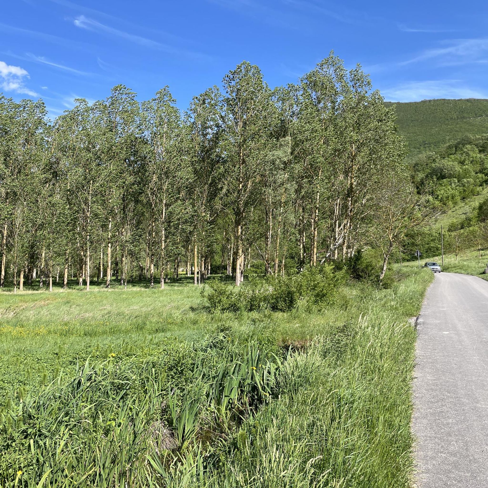
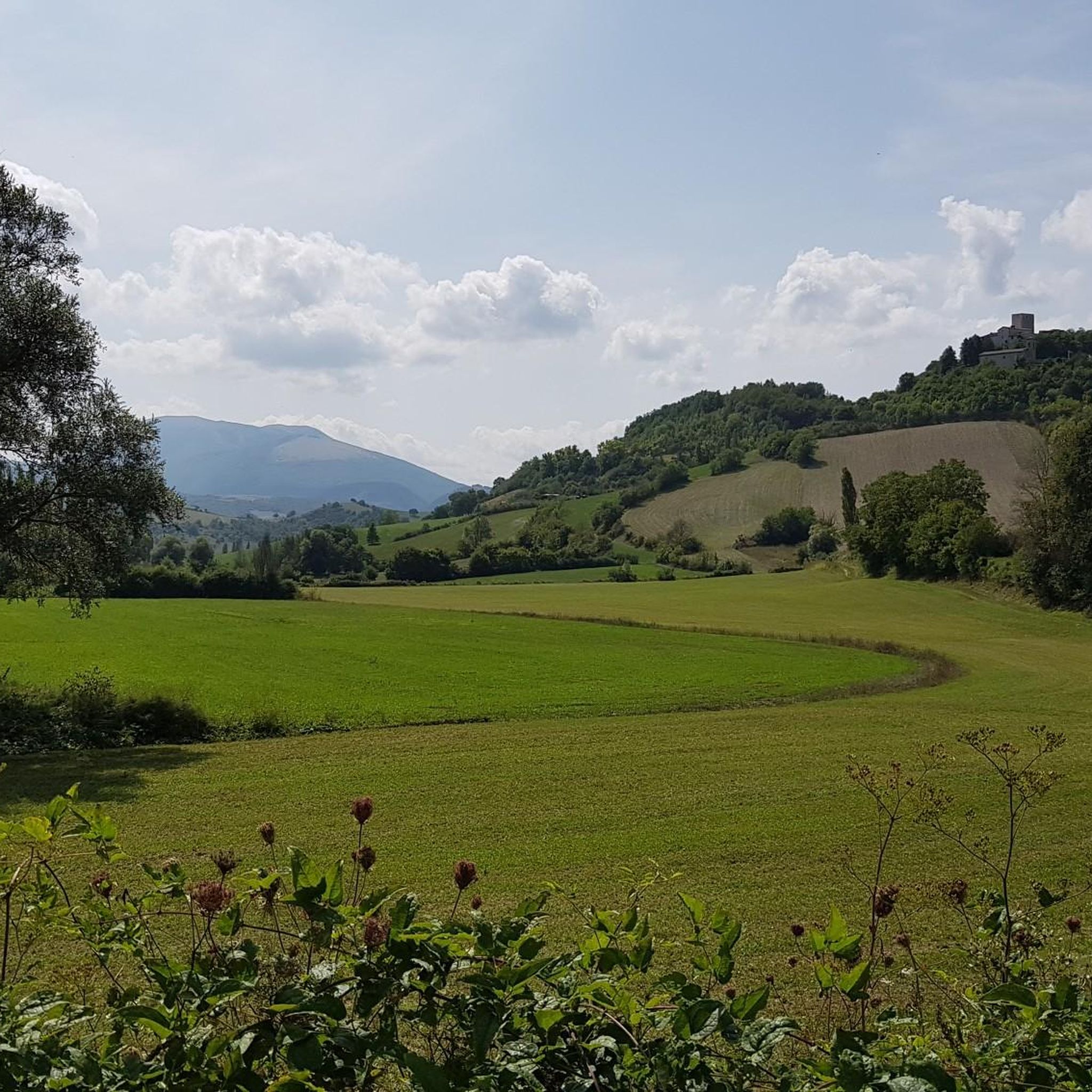
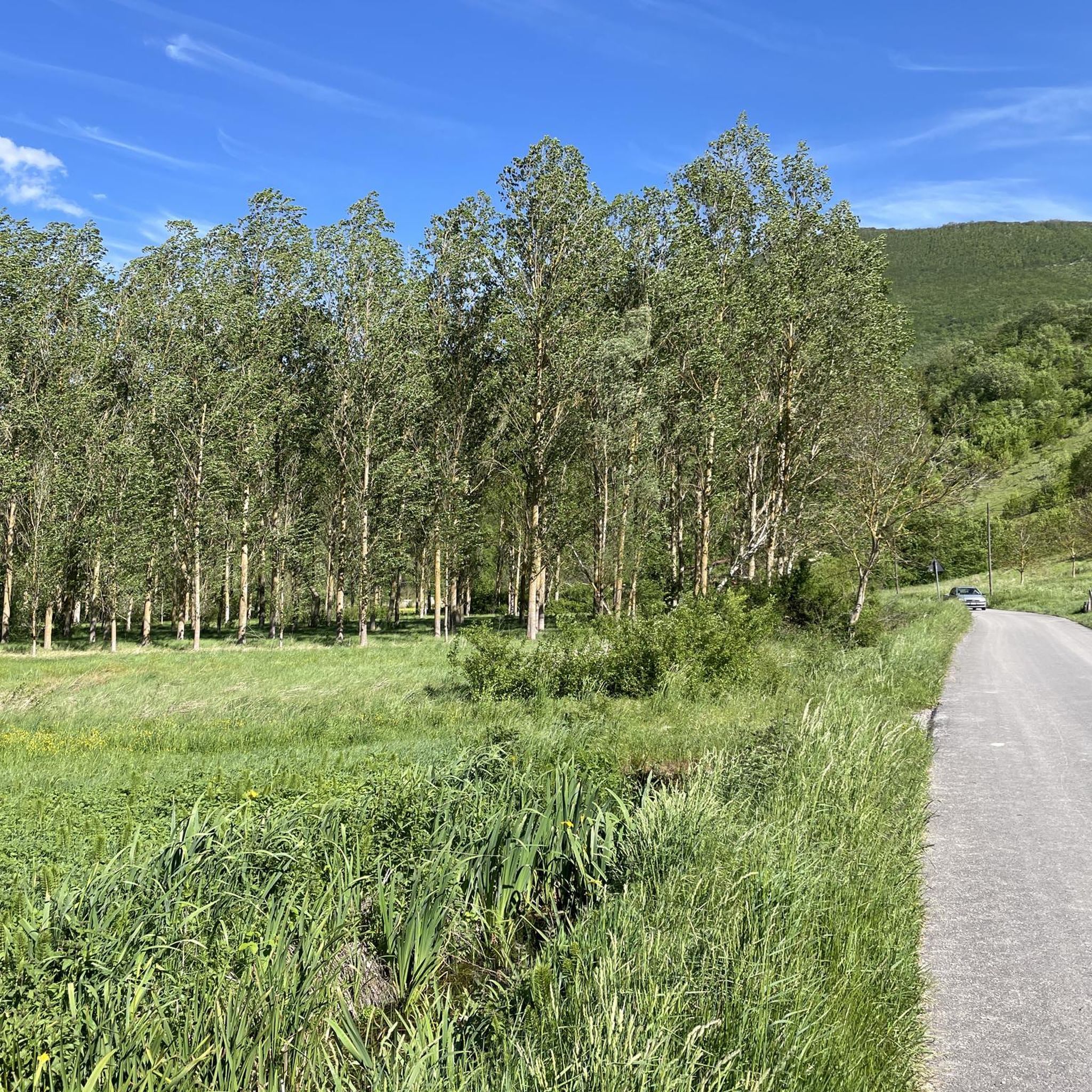
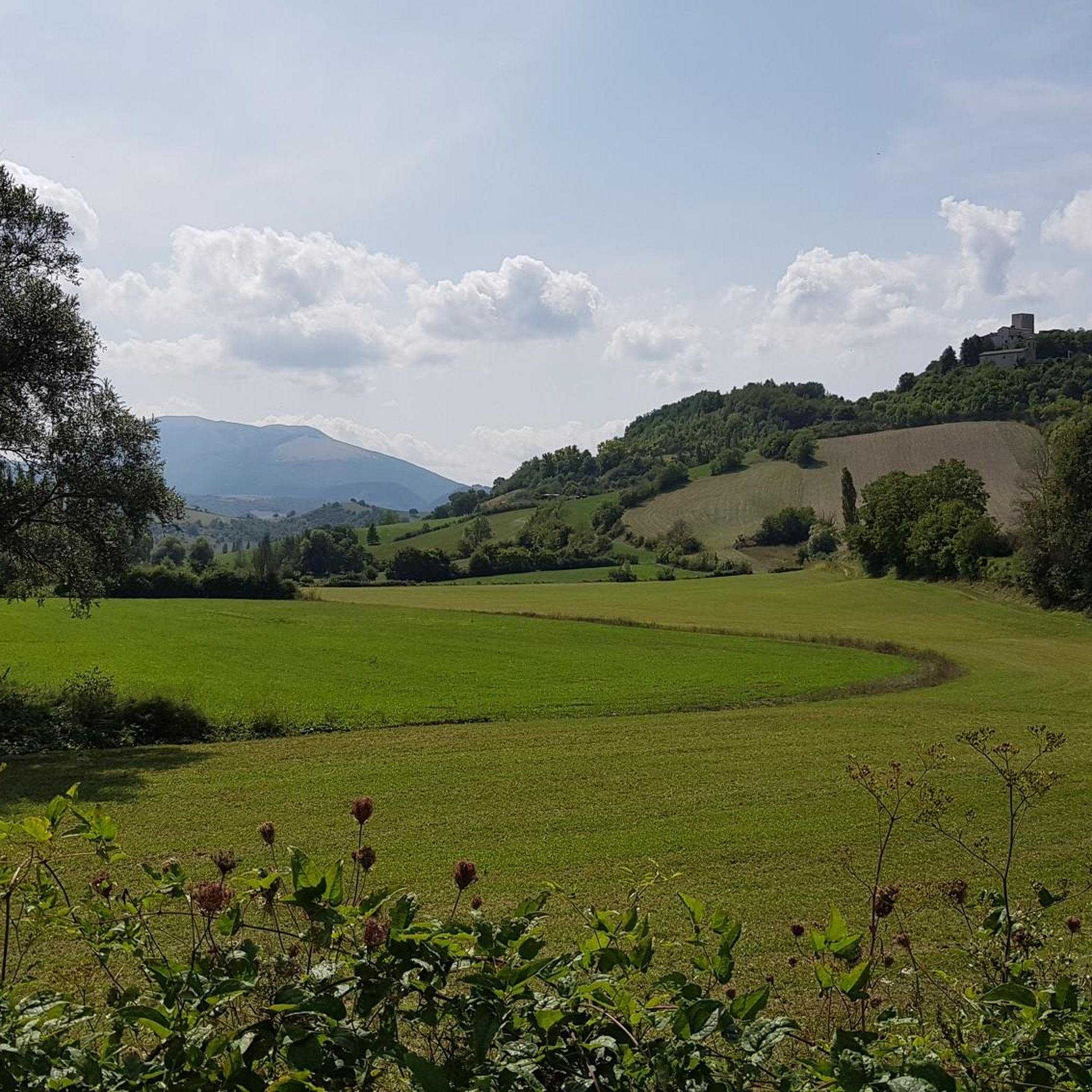
Jogging in Piana Di Pioraco offers diverse terrain within the Marche region of Italy. The area features an expansive valley floor, characterized by marsh vegetation and natural springs, providing flat running surfaces. The dramatic Gola di Pioraco, carved by the Potenza river, presents routes with challenging inclines and varied landscapes. Surrounding wooded hills and mountain peaks of the central Apennines contribute to a range of running experiences.
Best jogging routes in Piana Di Pioraco
- The most popular jogging route is…
Last updated: August 18, 2026
5.0
(1)
28
runners
14.8km
01:35
140m
140m
Moderate run. Good fitness required. Mostly paved surfaces. Suitable for all skill levels.
1
runners
7.99km
01:07
340m
340m
Hard run. Very good fitness required. Mostly accessible paths. Some sure footedness required.

Sign up for free
5.0
(1)
18
runners
29.3km
04:19
1,400m
1,400m
Hard run. Very good fitness required. Mostly accessible paths. Some sure footedness required.
17
runners
11.5km
01:43
630m
630m
Hard run. Very good fitness required. Mostly accessible paths. Some sure footedness required.
14
runners
13.0km
01:49
550m
550m
Hard run. Very good fitness required. Mostly accessible paths. Some sure footedness required.
Get access to more routes and recommendations from other explorers.
Sign up for free
Already have an account?
Our route recommendations are based on thousands of hikes, rides, and runs completed by other people on komoot.
Start today with a free account
Your next adventure awaits.
Login or Signup

Tips from the Community


because in addition to being beautiful, especially in late spring, it is a very important site from a naturalistic, landscape and environmental point of view
0
0

Pioraco: "Ponte o passerella del Bacio" On the pedestrian walkway along the Potenza river, a sign indicates the obligation to stop and give each other a kiss, with the town in the background, nestled between the rocks
0
0

Pioraco is a small town at 443 meters, where the Potenza river passes through some rapids. Every 8 June the feast of the patron S. Vittorino is celebrated.
0
0
The Potenza river rises from Monte Pennio at about 800 meters, and is 95 kilometers long. There is a small dam at this point.
1
0
The Grotta del Beato Bernardo is a place of refuge located in Sefro where the Blessed Bernardo lived for over two years, using one cave as a refuge and another as a small church. After about 20 minutes of walking, you can reach the place where the ancient Mill of Sorti once stood, it stood at the confluence of the two rivers.
1
0
At this point there is a billboard indicating the junction between path 251 (Monte Igno/Passo Salegri) and 251a (Piano Superiore di Montelago).
1
0
Here it is possible to take the fork towards path 251 which leads north to Piano Superiore.
1
0
Frequently Asked Questions
How many running routes are available in Piana Di Pioraco?
Piana Di Pioraco offers a wide selection of over 50 running routes. These range from easy strolls across the valley floor to more challenging trails with significant elevation gains in the surrounding hills.
Are there any easy or beginner-friendly jogging routes in the Piana Di Pioraco area?
Yes, the expansive valley floor of Piana Di Pioraco, recognized as a Natura 2000 site, provides flat and serene environments perfect for easy runs. While specific easy routes aren't detailed here, the region offers 3 routes classified as easy, ideal for beginners or those seeking a relaxed pace.
What kind of natural features can I expect to see while jogging in Piana Di Pioraco?
The region is rich in natural beauty. You can expect to encounter the dramatic Gola di Pioraco, a gorge carved by the Potenza river, and the scenic 'Li Vurgacci' trail with its waterfalls and whirlpools. The area also features marsh vegetation, natural springs, wooded hills, and views of the central Apennine mountains.
Are there any circular running routes in Piana Di Pioraco?
Yes, there are several circular routes available. A notable option is the Pioraco – ring tour, which is a difficult 5.0-mile (8.0 km) path offering views of the historic town and the Potenza river valley. Another is the Sorgente Bagno loop from Pioraco, a 12.2-mile (19.6 km) trail through riverine landscapes.
What do other runners enjoy most about the trails in Piana Di Pioraco?
The running routes in Piana Di Pioraco are highly rated by the komoot community, with an average score of 4.6 stars. Runners often praise the diverse terrain, from the flat valley runs to the challenging mountain paths, and the breathtaking natural scenery, including river gorges and wooded areas.
Can I find routes with significant elevation gain for a more challenging run?
Absolutely. The surrounding wooded hills and mountain peaks of the central Apennines offer routes with significant elevation gains. For example, the Monte Finiglia – Colle Grugnoleta loop from Bagnara involves over 1000 meters of ascent, providing a demanding workout.
Are there any historical or cultural landmarks to see along the running routes?
Yes, the town of Pioraco itself is known as the 'City of Paper' and features a charming historic center. Routes like the Pioraco – ring tour offer views of the town. Nearby, you might also find the ancient Statte Castle or the Braccano Murals Village, adding a cultural dimension to your run.
What is the best time of year for jogging in Piana Di Pioraco?
Piana Di Pioraco offers beautiful scenery year-round. Spring and autumn generally provide pleasant temperatures for running, with vibrant foliage or blooming wildflowers. Summer can be warm, but routes along the river or in shaded wooded areas offer cooler options. Winter runs are also possible, especially on lower elevation trails.
Are there any dog-friendly running trails in the region?
While specific dog-friendly designations for each route are not provided, many natural trails in the Piana Di Pioraco area are suitable for running with dogs, provided they are kept under control. It's always recommended to check local regulations and ensure your dog is well-behaved and on a leash where required.
Where can I park when accessing running routes in Piana Di Pioraco?
Parking availability varies by starting point. For routes originating near towns like Pioraco or Fiuminata, you can typically find public parking areas. For more remote trailheads, roadside parking might be an option. It's advisable to check the specific route details on komoot for suggested starting points and parking information.
Are there any cafes or places to get refreshments near the running trails?
The town of Pioraco, with its historic center, offers cafes and amenities where you can refuel before or after your run. For routes starting or passing through other villages in the region, you may find local establishments. It's always a good idea to carry water and snacks, especially on longer or more remote trails.
What is the longest running route available in Piana Di Pioraco?
One of the longer routes is the Monte Finiglia – Colle Grugnoleta loop from Bagnara, which spans over 21 kilometers (13 miles). This challenging route is ideal for experienced runners looking for a longer distance and significant elevation.
Most popular routes in Piana Di Pioraco

Get inspired with the komoot mobile app


Explore more
Browse the best Running Trails & Routes in other regions.
