The best MTB trails in Gola Di Pioraco
4.2
(273)
2,534
riders
174
rides
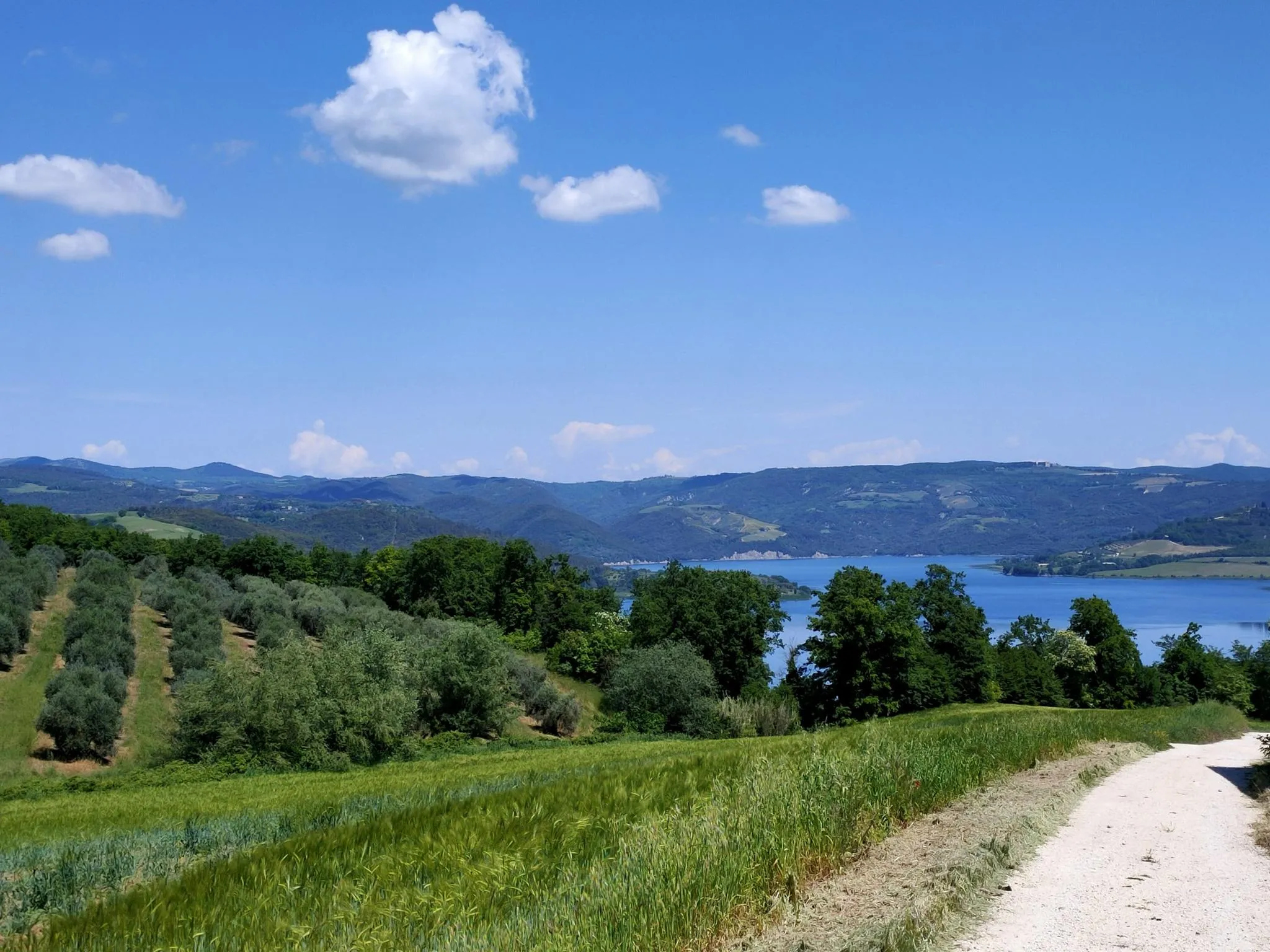
Gola Di Pioraco mountain bike trails navigate a landscape defined by the Potenza River, which carves gorges and creates unique rock formations like "Li Vurgacci." The region features varied mountainous terrain, offering diverse elevation changes for mountain biking. Areas such as Piani di Montelago present unique natural depressions that contribute to the varied scenery. This interplay of water and mountains provides a range of routes for exploration.
Best mountain bike trails in Gola Di Pioraco
- The most popular mountain bike…
Last updated: October 25, 2026
5.0
(1)
30
riders
66.8km
07:14
2,290m
2,290m
Hard mountain bike ride. Very good fitness required. Advanced riding skills necessary.
5.0
(3)
36
riders
35.6km
03:50
1,160m
1,160m
Hard mountain bike ride. Very good fitness required. Advanced riding skills necessary.

4.7
(7)
24
riders
24.3km
02:20
720m
720m
Moderate mountain bike ride. Good fitness required.
3.8
(5)
14
riders
29.0km
02:45
720m
720m
Hard mountain bike ride. Good fitness required. Advanced riding skills necessary. Some portions of the route may require you to push your bike.
3.0
(2)
9
riders
24.5km
01:31
200m
200m
Easy mountain bike ride.
Get access to more routes and recommendations from other explorers.
Already have an account?
Our route recommendations are based on thousands of hikes, rides, and runs completed by other people on komoot.
Start today with a free account
Your next adventure awaits.



Other adventures in Gola Di Pioraco

Tips from the Community


because in addition to being beautiful, especially in late spring, it is a very important site from a naturalistic, landscape and environmental point of view
0
0

Pioraco: "Ponte o passerella del Bacio" On the pedestrian walkway along the Potenza river, a sign indicates the obligation to stop and give each other a kiss, with the town in the background, nestled between the rocks
0
0

because it is not a country but a jewel, mtb gravel bdc excursions you can do everything.
0
0

Fonte di Brescia is a fraction of the municipality of Fiuminata. Located at 650 meters above sea level, here the Potenza river is born, which then flows north-east until it flows into the Adriatic. It is an excellent starting point for many excursions, both on foot and by bicycle, towards Piani di Pioraco, or towards Monte Pennino and Valle Scurosa.
1
1
Pianoro di Monte Linguaro, about 150 meters in altitude below the summit. You can stop here to take a break as it is more sheltered than the summit and with a beautiful view towards the Umbria-Marche Apennines.
1
0
Frequently Asked Questions
How many mountain bike trails are available in Gola Di Pioraco?
Gola Di Pioraco offers a wide selection of mountain bike trails, with over 180 routes to explore. These range in difficulty from easy to difficult, ensuring options for various skill levels.
What kind of terrain can I expect on mountain bike trails in Gola Di Pioraco?
The terrain in Gola Di Pioraco is characterized by a dynamic interplay of water and mountains. You'll encounter river gorges carved by the Potenza River, unique rock formations like "Li Vurgacci," and varied mountainous landscapes. The area also features natural depressions such as the Piani di Montelago, which can create unique scenery, especially after heavy rains. Expect diverse elevation changes and a mix of dirt paths, stone steps, and wooded sections.
Are there mountain bike trails suitable for beginners or families in Gola Di Pioraco?
Yes, while many routes offer significant challenges, Gola Di Pioraco does have options for less strenuous rides. There are 8 easy and 52 moderate mountain bike trails available. These paths often provide a tranquil experience, sometimes even on paved sections, away from vehicle traffic, making them suitable for families or those seeking a more relaxed ride.
Are there any circular mountain bike routes in Gola Di Pioraco?
Many of the mountain bike routes in Gola Di Pioraco are designed as loops, allowing you to start and finish in the same location. An example is the Pioraco – Prati Piani loop from Pioraco, a moderate 15.3-mile (24.6 km) trail that takes about 2 hours 21 minutes to complete.
What natural attractions or landmarks can I see along the mountain bike trails?
The trails often pass by significant natural and historical points of interest. You can explore the unique rock formations and waterfalls along the Vurgacci Trail of Pioraco, or ride through the scenic Monte Primo Ridge Trail. The village of Pioraco itself, with its historic center, is also a notable highlight.
What is the best time of year to go mountain biking in Gola Di Pioraco?
The region is particularly beautiful in late spring when the Piani di Montelago area is lush. Generally, spring and autumn offer pleasant temperatures for mountain biking. While specific winter conditions are not detailed, the varied terrain and mountainous nature suggest that summer can be warm, and higher elevations might be affected by snow in colder months.
Are there any challenging mountain bike routes for experienced riders?
Absolutely. Gola Di Pioraco is well-suited for experienced mountain bikers, with 121 difficult routes available. Trails like the Prati Piani – Piani di Montelago loop from Pioraco, a 41.9-mile (67.5 km) trail with over 2,200 meters of elevation gain, offer significant challenges and require good fitness. Another demanding option is the Fonte di Brescia – Monte Linguaro loop from Pioraco, which features substantial elevation gain through mountainous terrain.
What do other mountain bikers say about the trails in Gola Di Pioraco?
The mountain bike trails in Gola Di Pioraco are highly regarded by the komoot community, holding an average rating of 4.2 stars from over 200 reviews. More than 2,500 mountain bikers have used komoot to explore the area, often praising the varied terrain, scenic views, and the unique natural features like the river gorges and rock formations.
Are there viewpoints along the mountain bike routes in Gola Di Pioraco?
Yes, many routes in Gola Di Pioraco offer panoramic views of the surrounding Apennine hills and valleys. Trails that ascend peaks like Monte Primo and Monte Gemmo are known for providing rewarding vistas. The mountainous terrain ensures numerous opportunities for scenic overlooks throughout your ride.
Is there parking available near the mountain bike trails?
While specific parking locations are not detailed, Pioraco is a charming village and a common starting point for many routes. It is generally accessible, and it's advisable to look for designated parking areas within or on the outskirts of the village before starting your ride.
Can I find mountain bike routes that explore the Piani di Montelago area?
Yes, the unique Piani di Montelago area, known for its natural depressions that can flood, is a feature of some mountain bike routes. The Prati Piani – Piani di Montelago loop from Pioraco is a prime example, allowing riders to experience this distinctive landscape.
Are there any routes that take me to the Monte Vermenone or Monte Linguaro areas?
Yes, you can explore these mountainous areas on your mountain bike. The Monte Vermenone – Monte Linguaro loop from Pioraco is a difficult 30.5-mile (49 km) route that takes you through these scenic locations. Another option is the Monte Vermenone – Sources of the Potenza Stream loop from Pioraco, a moderate 42-mile (67.6 km) trail.
Most popular routes in Gola Di Pioraco
Most popular attractions in Gola Di Pioraco

Get inspired with the komoot mobile app


Explore more
Browse the best MTB trails in other regions.
