The best walks and hikes in Riserva Naturale Regionale Sentina
4.3
(172)
3,235
hikers
112
hikes
Hiking in Riserva Naturale Regionale Sentina offers trails through a coastal natural reserve characterized by its flat terrain and proximity to the Adriatic Sea. The region features a mix of beach paths, river mouth areas, and protected natural habitats. Elevation changes are minimal, making the area suitable for accessible walks.
Best hiking trails in Riserva Naturale Regionale Sentina
- The most popular hiking route is San Benedetto del Tronto Beach loop from Riserva Naturale Regionale Sentina, a 3.7 miles (6.0 km) trail that takes about 1 hour 31 minutes to complete. This easy route follows the coastline, offering views of the sea.
- Another top favourite among local hikers is Hiking loop from Agraria, an easy 1.8 miles (2.9 km) path. This trail explores the interior of the natural reserve, providing a different perspective of the protected landscape.
- Local hikers also love the Lungomare Beach Promenade loop from Porto d'Ascoli, a 2.5 miles (4.1 km) trail leading through coastal promenade areas, often completed in about 1 hour 2 minutes.
- Hiking in Riserva Naturale Regionale Sentina is defined by coastal paths, river mouth landscapes, and protected wetland areas. The network offers options for various ability levels, primarily featuring easy and moderate routes.
- The routes in Riserva Naturale Regionale Sentina are highly rated by the komoot community with an average score of 4.2 stars from over 100 reviews. More than 2,400 hikers have used komoot to explore Riserva Naturale Regionale Sentina's varied terrain.
Last updated: August 18, 2026
5.0
(1)
32
hikers
Easy hike. Great for any fitness level. Easily-accessible paths. Suitable for all skill levels.
2.0
(1)
33
hikers
Hard hike. Very good fitness required. Easily-accessible paths. Suitable for all skill levels.

Sign up for free
7
hikers
4.06km
01:02
10m
10m
Easy hike. Great for any fitness level. Easily-accessible paths. Suitable for all skill levels.
4.5
(11)
221
hikers
Moderate hike. Good fitness required. Easily-accessible paths. Suitable for all skill levels.
4
hikers
3.16km
00:48
0m
0m
Easy hike. Great for any fitness level. Easily-accessible paths. Suitable for all skill levels.
Get access to more routes and recommendations from other explorers.
Sign up for free
Already have an account?
Our route recommendations are based on thousands of hikes, rides, and runs completed by other people on komoot.
Start today with a free account
Your next adventure awaits.
Login or Signup
Popular around Riserva Naturale Regionale Sentina
Tips from the Community


The fish market of San Benedetto del Tronto is one of the largest in Italy. Even today, every morning, generally at 4 am, the fresh fish, just arrived from the fishing boats that work at night, becomes the protagonist of a real downward auction that determines its prices. A real parade of fish. While the boxes full of fish parade before the eyes of the participants in the auction, on a large screen the price of the box begins to drop and the first person to block the price using a remote control, wins the box.
1
0
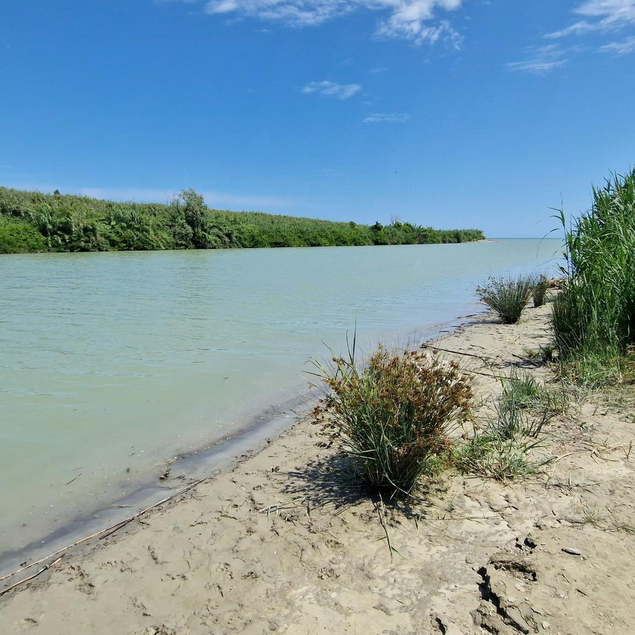
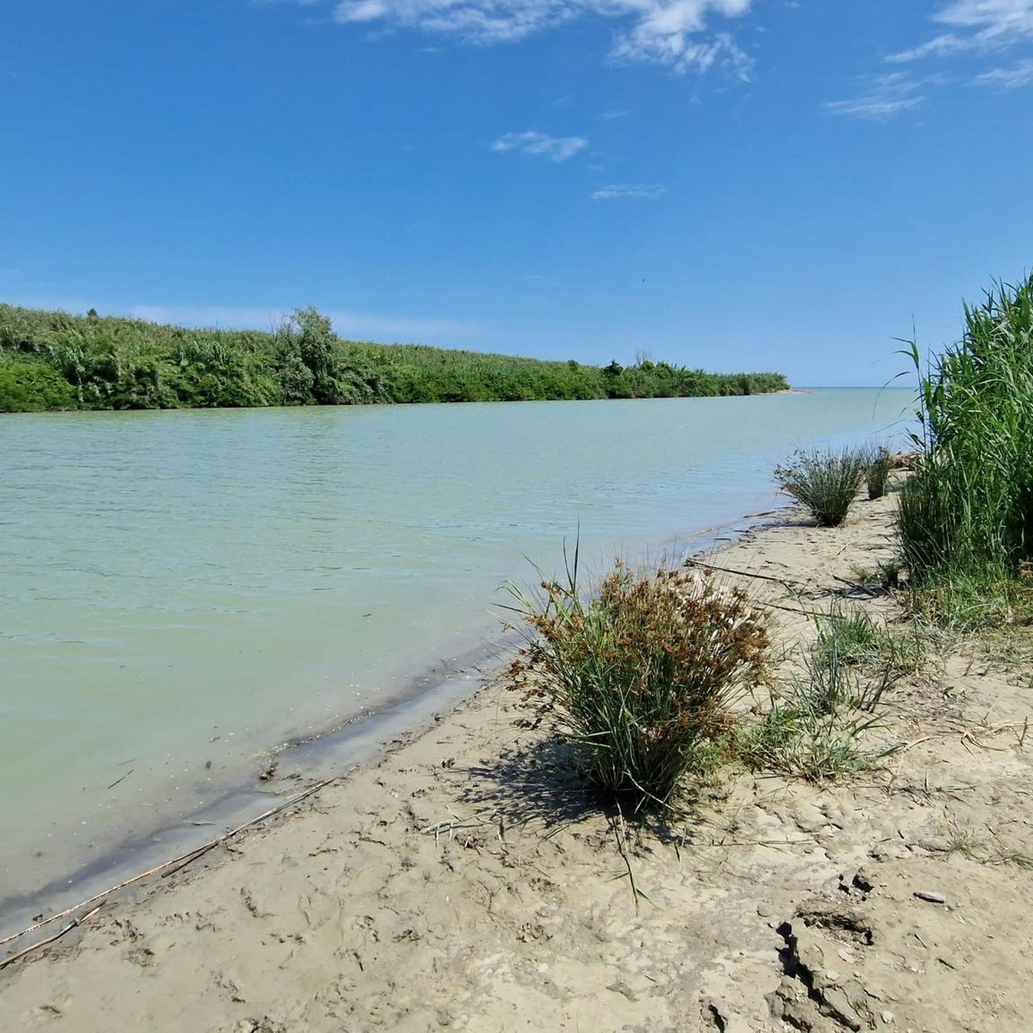
The Albula River rises near Colle Guardia, a hamlet in the municipality of Ripatransone, and flows into the Adriatic Sea at San Benedetto del Tronto.
1
0

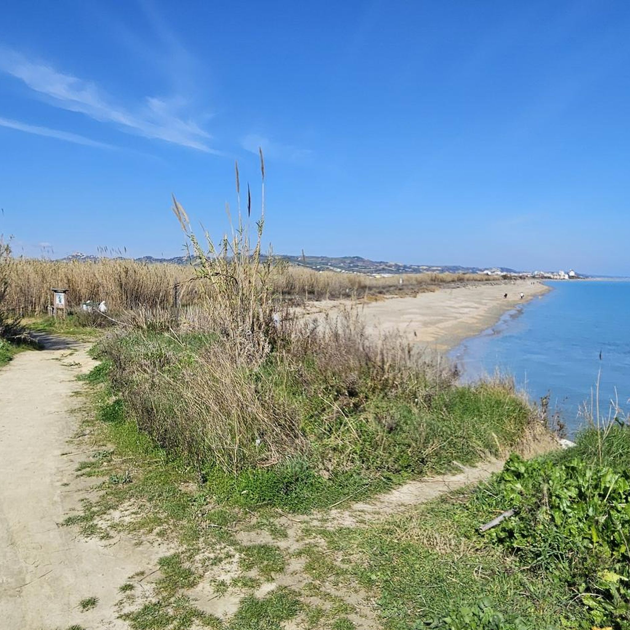
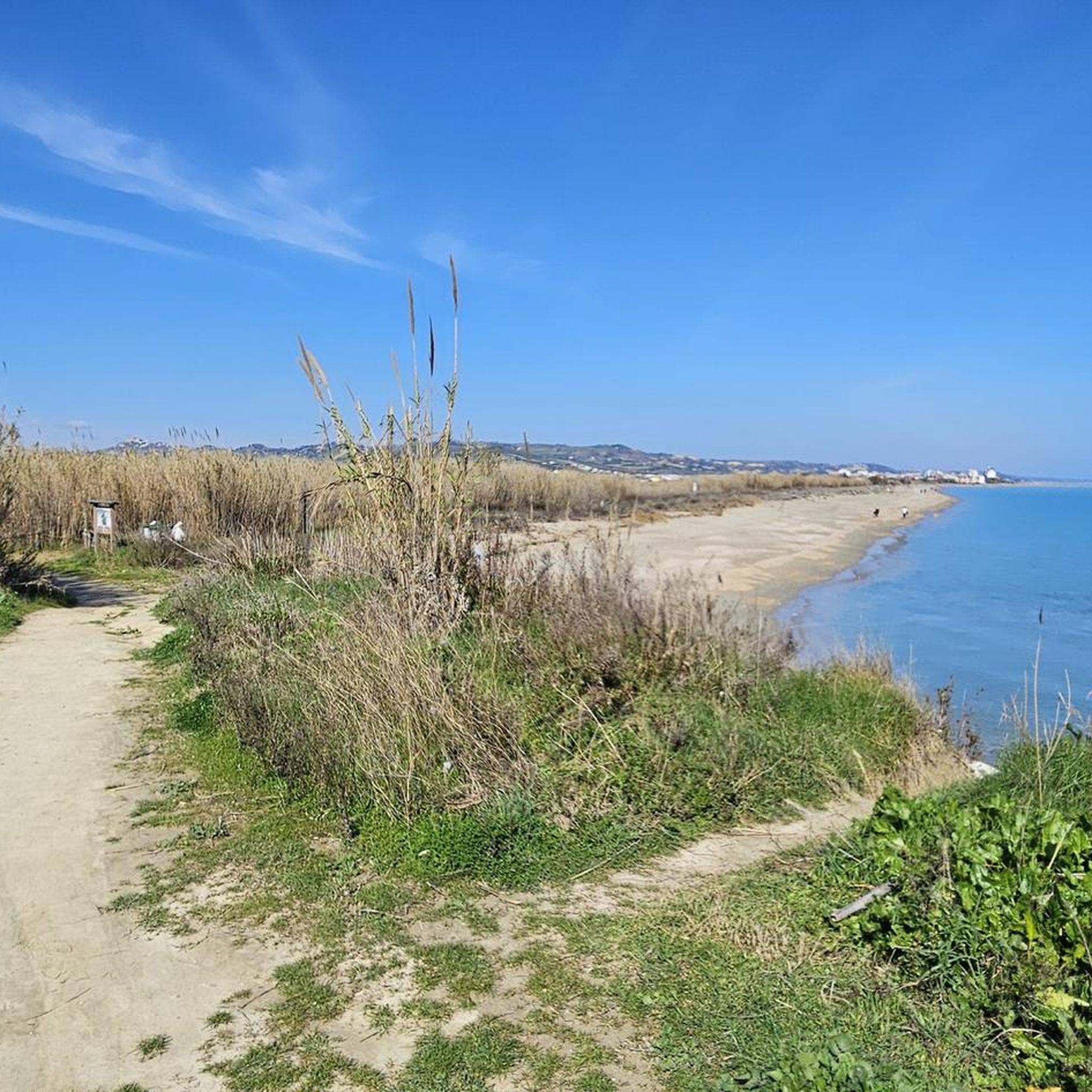
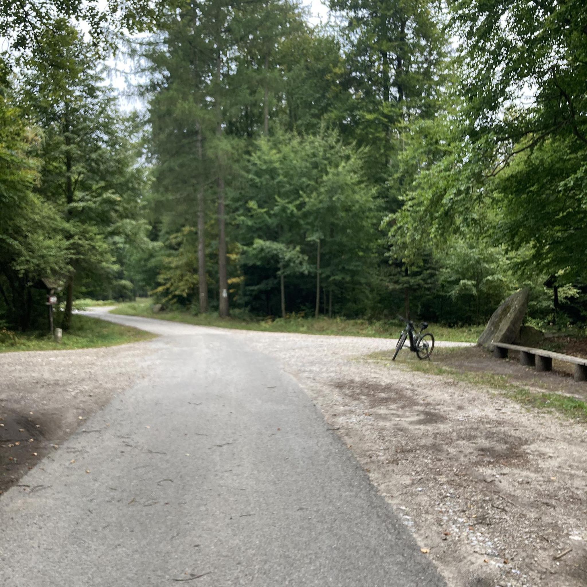
The Sentina Nature Reserve, from the mouth of the Tronto River to the north, is a green oasis in which marine ecosystems coexist, such as sand dunes, brackish areas and a remarkable variety of birds. The cycle/pedestrian path runs along a dirt path, with access points to the pristine beach.
1
0

Beautiful beach promenade, with many restaurants and beach bars. Architecturally separated from the road there is a wide footpath and cycle path. It's fun to stroll along. It's also well lit in the evenings.
1
1

Beautiful seaside town, seafront famous for its palm trees
0
0

Municipality of the Marche at the mouth of the Tronto river is an important fishing port on the Riviera delle Palme.
0
0
Frequently Asked Questions
How many hiking trails are available in Riserva Naturale Regionale Sentina?
There are over 80 hiking trails in Riserva Naturale Regionale Sentina, offering a variety of options for different preferences. The majority, around 60, are classified as easy, with 23 moderate and a few more challenging routes.
What kind of terrain can I expect on hikes in Riserva Naturale Regionale Sentina?
The terrain in Riserva Naturale Regionale Sentina is predominantly flat, characterized by coastal paths, sandy beaches, and areas around the mouth of the Tronto River. You'll find a mix of natural habitats and protected wetlands, with minimal elevation changes throughout the reserve.
Are there easy hiking trails suitable for beginners or families?
Yes, Riserva Naturale Regionale Sentina is ideal for beginners and families due to its flat terrain and numerous easy routes. A great option is the Hiking loop from Agraria, which is an easy 2.9 km path exploring the reserve's interior.
Are there any circular hiking routes in the reserve?
Many of the trails in Riserva Naturale Regionale Sentina are circular, allowing you to start and end at the same point. For example, the Mouth of the Tronto River loop from Riserva Naturale Regionale Sentina offers a scenic 7.1 km loop through the river mouth area.
What is the typical duration for hikes in Riserva Naturale Regionale Sentina?
Hike durations vary depending on the route and your pace. Many of the easy trails can be completed within 1 to 2 hours. For instance, the Lungomare Beach Promenade loop from Porto d'Ascoli typically takes about 1 hour 2 minutes for its 4.1 km distance.
Is Riserva Naturale Regionale Sentina dog-friendly?
While the reserve is a protected area, many trails are generally accessible for dogs on a leash. However, it's always recommended to check local regulations or signage within the reserve itself, especially concerning sensitive wildlife areas or specific beach sections, to ensure a pleasant experience for everyone.
What wildlife can I expect to see while hiking in the reserve?
As a natural reserve, Sentina is home to diverse wildlife, particularly various bird species due to its wetland habitats. Keep an eye out for migratory birds, waterfowl, and other local fauna that thrive in this coastal environment. Early mornings or late afternoons are often the best times for wildlife spotting.
Are there any scenic viewpoints or notable landmarks along the trails?
The reserve itself offers scenic views of the Adriatic Sea and the natural coastal landscape. While there aren't dramatic mountain viewpoints, the expansive beach and river mouth areas provide picturesque vistas. The Fisherman Monument – San Benedetto del Tronto Beach loop from Porto d'Ascoli passes by the Fisherman Monument, offering a cultural landmark along a moderate coastal walk.
What is the best season for hiking in Riserva Naturale Regionale Sentina?
The best seasons for hiking are typically spring and autumn when the weather is mild and pleasant. Summers can be warm, making early morning or late afternoon hikes more comfortable. Winter offers a quieter experience, though some paths might be affected by weather conditions.
Are there parking facilities available near the hiking trails?
Yes, parking is generally available at various access points around the Riserva Naturale Regionale Sentina, particularly near the main entrances or starting points of popular trails. It's advisable to check specific trailheads for designated parking areas before your visit.
What do other hikers enjoy most about hiking in Riserva Naturale Regionale Sentina?
The area is highly rated by the komoot community, with an average score of 4.2 stars from over 140 reviews. Reviewers often praise the peaceful coastal atmosphere, the ease of the trails, and the opportunity to enjoy nature close to the sea. Many appreciate the well-maintained paths and the accessibility for all skill levels.
Can I access the reserve using public transport?
Riserva Naturale Regionale Sentina is located near urban centers like San Benedetto del Tronto and Porto d'Ascoli, which are served by public transport. You can often reach the vicinity of the reserve by local bus services, followed by a short walk to the trailheads. It's recommended to check local bus schedules for the most current information.
Most popular routes in Riserva Naturale Regionale Sentina

Get inspired with the komoot mobile app


Explore more
Browse the best Hikes in other regions.
