The best road cycling routes in Riserva Naturale Basso Merse
4.8
(84)
2,161
riders
29
rides
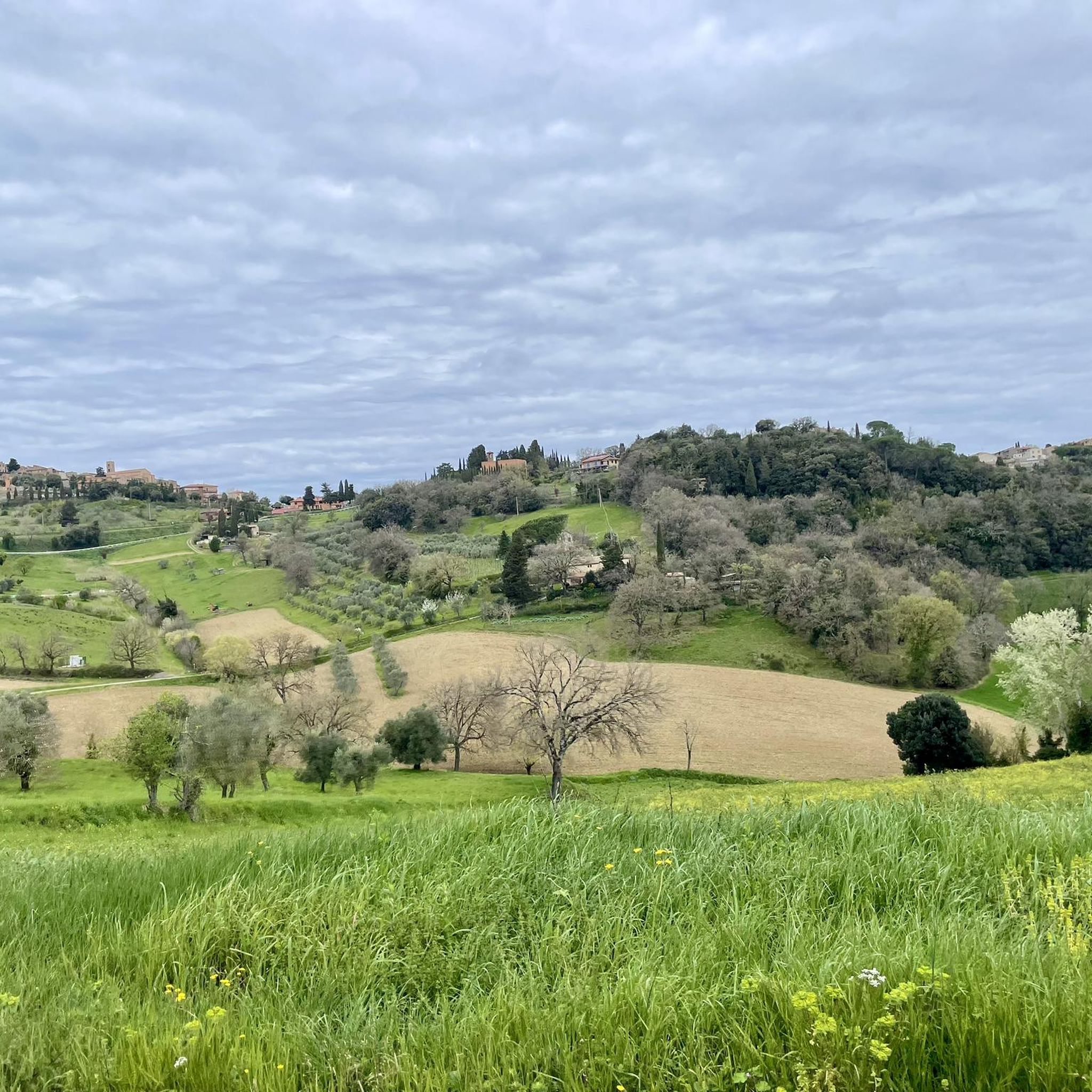
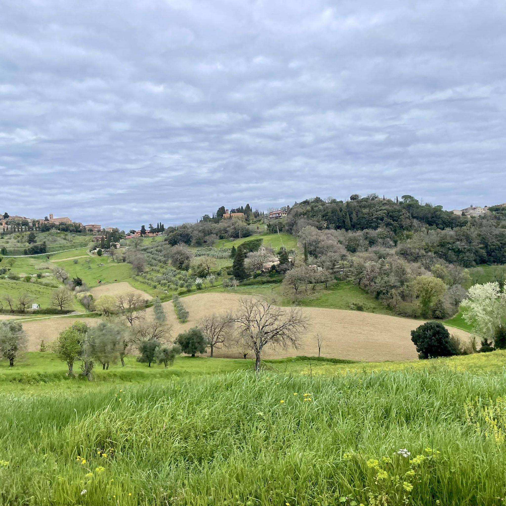
Road cycling routes in Riserva Naturale Basso Merse traverse a landscape characterized by rolling hills, mixed forests, and grasslands, with elevations generally not exceeding 400 meters. The reserve encompasses the lower Merse River, the Farma stream, and the Crevole torrent, offering diverse natural features. Distinctive rocky outcrops of serpentinite and holm oak forests define the terrain, providing varied scenery for road cyclists. The region's "sweet" and gently undulating hills, combined with low-traffic roads, create an environment suitable for exploring the…
Last updated: July 8, 2026
4
riders
142km
07:30
2,680m
2,680m
Hard road ride. Very good fitness required. Some segments of this route may be unpaved and difficult to ride.
4.5
(2)
59
riders
70.8km
03:49
1,430m
1,430m
Hard road ride. Very good fitness required. Some segments of this route may be unpaved and difficult to ride.

Sign up for free
5.0
(5)
92
riders
45.8km
02:21
530m
530m
Moderate road ride. Good fitness required. Some segments of this route may be unpaved and difficult to ride.
5.0
(5)
76
riders
53.4km
03:00
890m
890m
Moderate road ride. Good fitness required. Some segments of this route may be unpaved and difficult to ride.
3.0
(1)
39
riders
Moderate road ride. Good fitness required. Mostly well-paved surfaces and easy to ride.
Get access to more routes and recommendations from other explorers.
Sign up for free
Already have an account?
Our route recommendations are based on thousands of hikes, rides, and runs completed by other people on komoot.
Start today with a free account
Your next adventure awaits.
Login or Signup
Tips from the Community

It feels like stepping back in time; if you pass by, a coffee at Gianni's, the owner of a small but well-stocked grocery store in the center of town, is a must.
0
0

Wonderful road, very shaded and perfect in the summer months. Road with little traffic.
1
0

Details about the Romanesque church: https://it.wikipedia.org/wiki/Pieve_di_San_Giovanni_Battista_(Ponte_allo_Spino)
0
0
beautiful Romanesque church with arched courtyard, half cloister (?) unfortunately closed
0
0
Great Romanesque church with arcade, unfortunately closed.
0
0

The name is due to the bridge that crosses the Arbia stream. The place has been documented since the early Middle Ages as it lies along the route of the ancient Via Francigena. Particularly in the itinerary of Sigeric, Archbishop of Canterbury, the place represented the fourteenth stage (Submansio) and was then called Arbia. The bridge that gives its name to the city was built by the municipality of Siena in 1388 and rebuilt in 1656 under Prince Mattia de' Medici, governor of Siena.
1
0

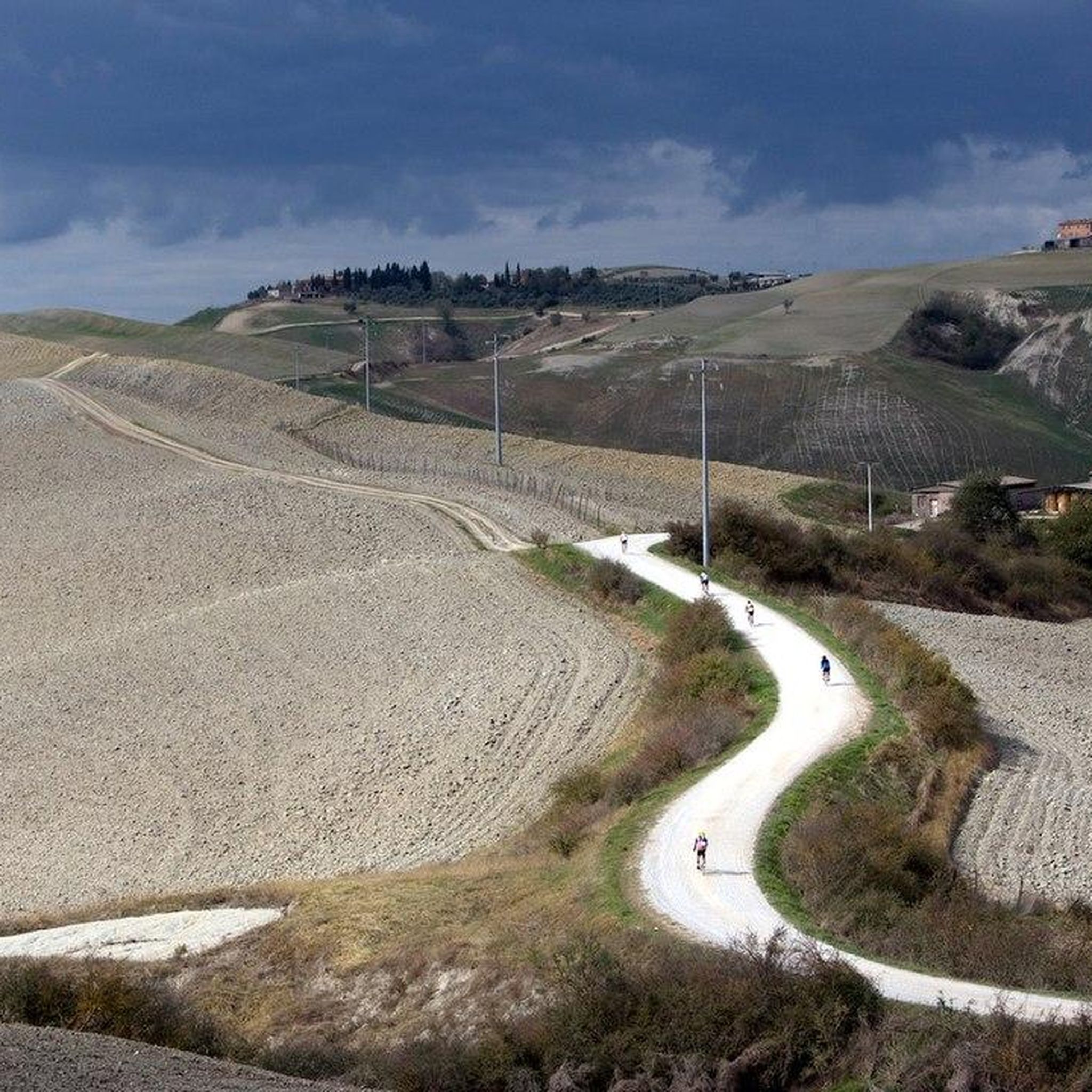
Beautiful town, with a characteristic center and an ideal point from which to start your cycling adventures on the dirt roads
2
0
Frequently Asked Questions
How many road cycling routes are available in Riserva Naturale Basso Merse?
Riserva Naturale Basso Merse offers over 25 road cycling routes, catering to various skill levels from moderate to difficult. The komoot community has explored these diverse trails over 2,100 times.
What kind of terrain and elevation can I expect on road cycling routes in Riserva Naturale Basso Merse?
The region is characterized by gently undulating hills, generally not exceeding 400 meters in altitude, and low-traffic roads. You'll encounter a mix of landscapes, including mixed forests, grasslands, and distinctive rocky outcrops of serpentinite. Routes often feature rolling hills and river valleys, providing varied scenery and elevation changes.
Are there any long-distance or challenging road cycling routes in the reserve?
Yes, for those seeking a challenge, the region is home to sections of the renowned Eroica route, and the permanent Grand Tour of Val di Merse, which covers approximately 173 km with significant elevation gain. A particularly demanding route within the reserve is the View of Montalcino – Montalcino Fortress loop from Pari, an 88.4-mile (142.3 km) trail with over 2,600 meters of elevation gain.
What historical sites or natural attractions can I visit along road cycling routes in Riserva Naturale Basso Merse?
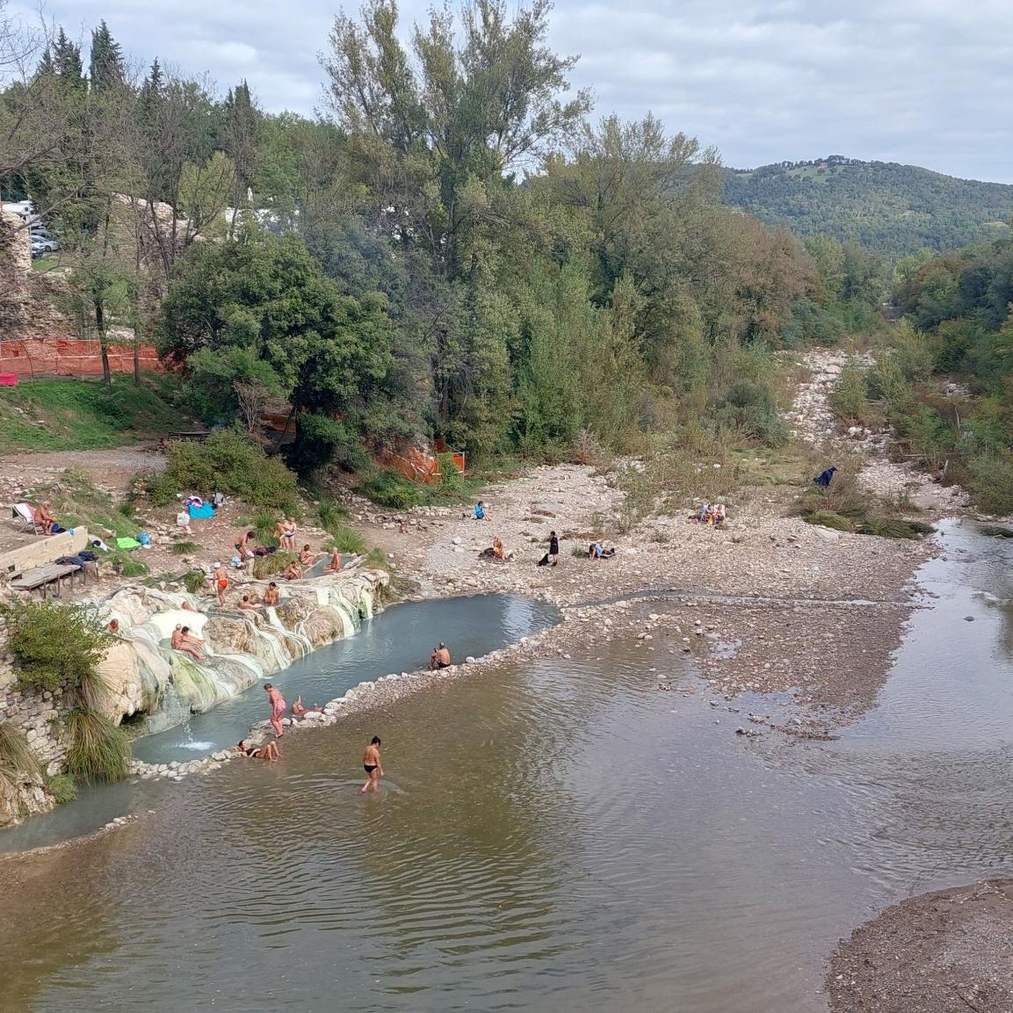
Cyclists can explore various points of interest. The Thermal Baths of Petriolo are located at the western end of the reserve, offering a unique stop. You might also encounter historical remnants like the ruins of the Hermitage of Montespecchio, or charming small villages such as Vallerano, Montepescini, and Olivello, which add cultural depth to your ride.
What do other road cyclists enjoy the most about road cycling in Riserva Naturale Basso Merse?
The area is highly rated by the komoot community, with an average score of 4.8 stars from over 70 reviews. Cyclists frequently praise the astonishing variety of natural environments, the 'sweet' and gently undulating hills, and the low-traffic roads that make for serene and scenic rides through the hidden gems of Tuscany.
Are there any circular road cycling routes in Riserva Naturale Basso Merse?
Many routes in the reserve are designed as loops, allowing you to start and end in the same location. An example is the Natural Reserve of Val Merse — Ring tour, a 43.9-mile (70.8 km) trail that takes you through the heart of the Natural Reserve.
Are there any moderate-difficulty road cycling routes suitable for a day trip?
Yes, there are several moderate routes perfect for a day trip. The Castello di Bibbiano – Strade Bianche – The Plain loop from Casciano is a popular choice, covering 25.8 miles (41.6 km) and exploring the countryside with varied terrain.
What is the best time of year to go road cycling in Riserva Naturale Basso Merse?
Spring and autumn are generally considered the best times for road cycling in Riserva Naturale Basso Merse. In spring, the landscape comes alive with colorful flowers, particularly noticeable against the dark serpentinite rocks. Autumn offers pleasant temperatures and beautiful foliage, making for comfortable and scenic rides.
Are there any routes that pass through charming villages or offer cultural insights?
Absolutely. Many routes wind through or near small, historic villages. For instance, the San Fabiano Countryside View – Grancia di Cuna loop from Murlo passes through areas with cultural significance, offering glimpses into the local heritage and architecture.
Where can I find parking for road cycling routes in Riserva Naturale Basso Merse?
Parking availability varies by starting point. Many routes begin from or pass through small towns and villages like Murlo or Casciano, where you can typically find public parking areas. It's advisable to check specific route details on komoot for recommended starting points and parking information.
Are there routes that offer views of the wider Tuscan landscape?
Yes, many routes provide expansive views of the iconic Tuscan landscape. The Castello di Bibbiano – Montalcino loop from Murlo, for example, offers scenic vistas as it traverses the rolling hills towards Montalcino, a renowned wine region.
Most popular routes in Riserva Naturale Basso Merse

Get inspired with the komoot mobile app


Explore more
Browse the best Road cycling routes in other regions.
