The best walks and hikes in Bocca Serriola
4.3
(149)
546
hikers
31
hikes
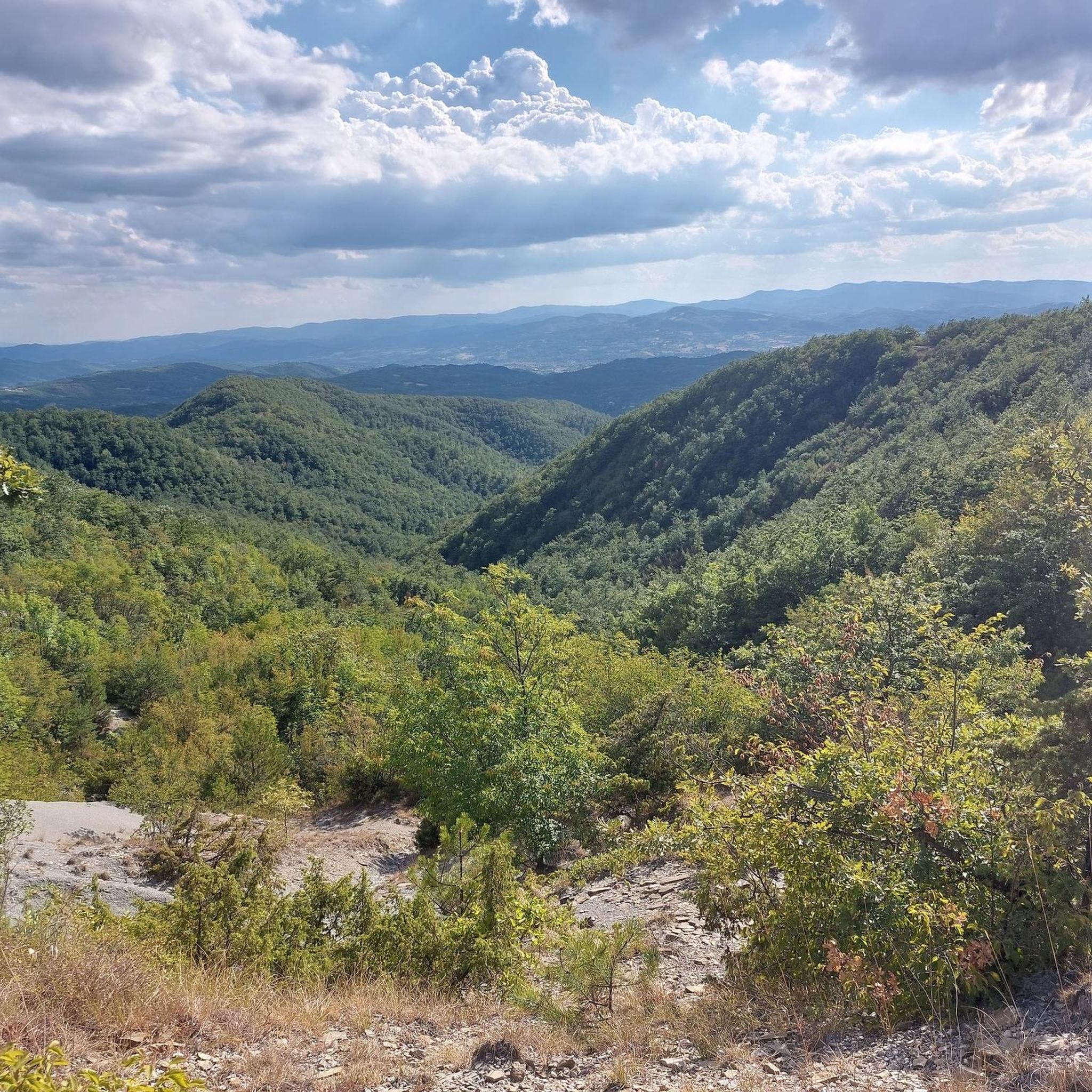
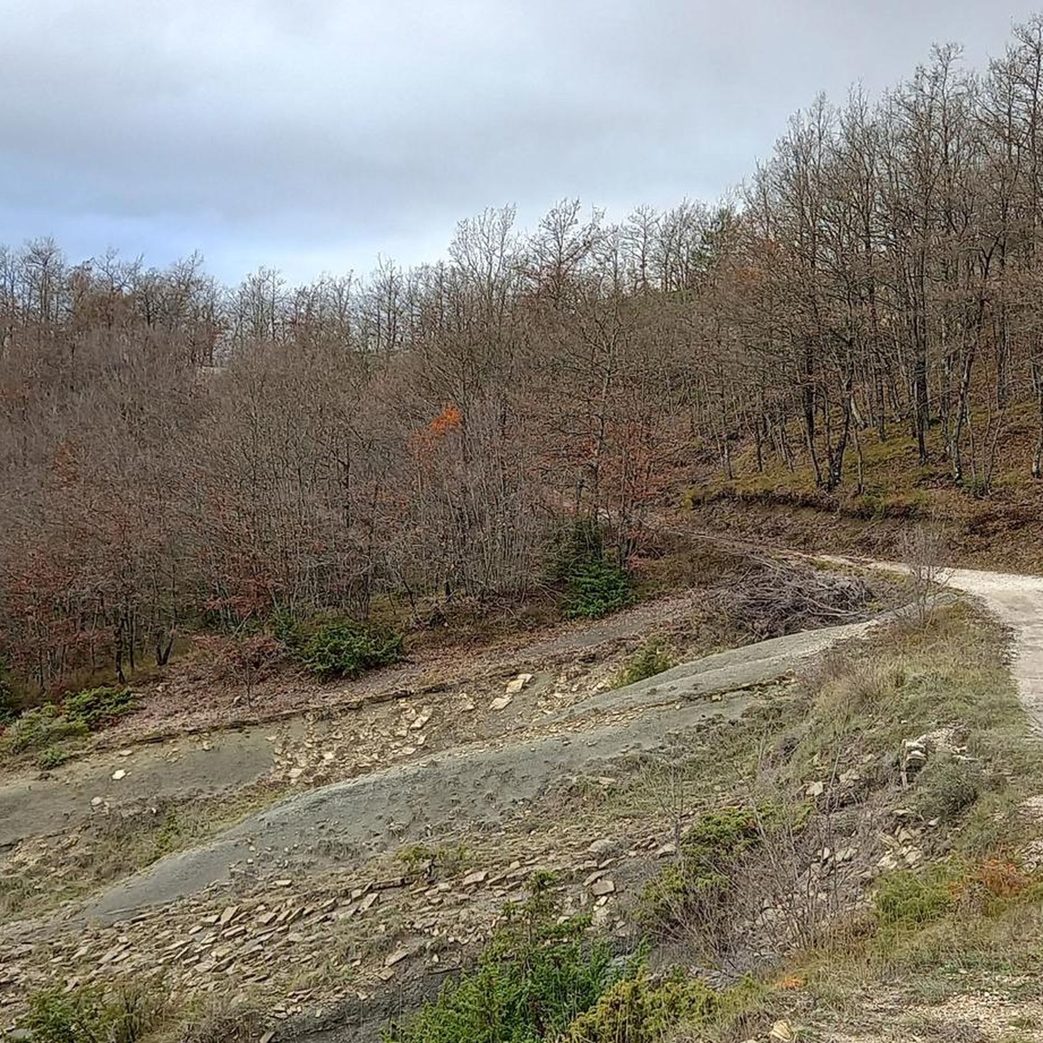
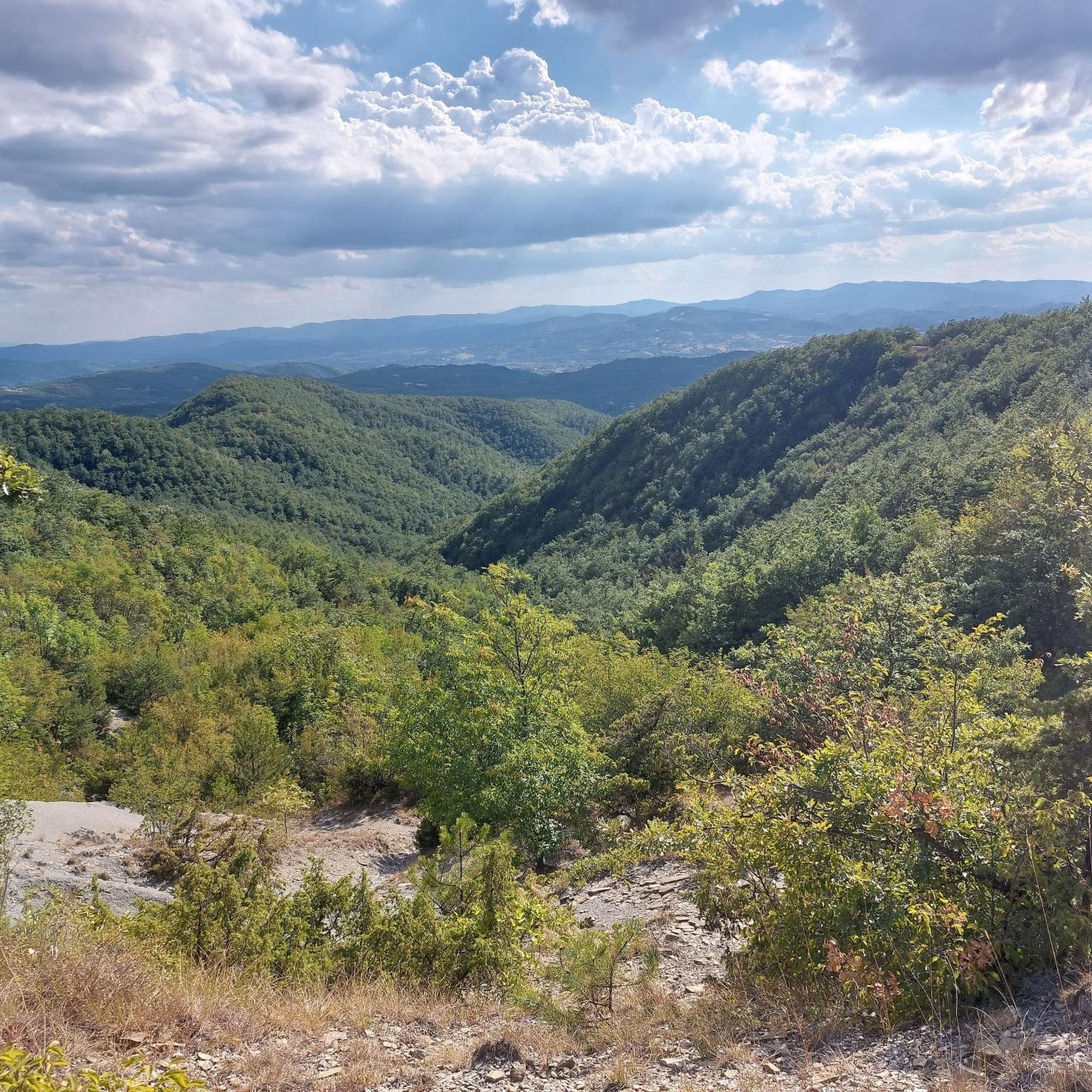
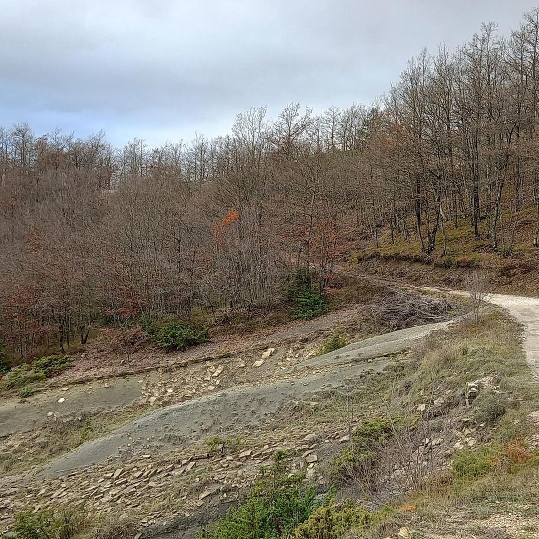
Hiking in Bocca Serriola features diverse Apennine terrain, characterized by deciduous forests, marly-sandy geological formations, and scenic valleys. This pass, situated at 730 meters above sea level, divides the Biscubio and Tiberina valleys, offering varied elevations. The region includes the Bocca Serriola Regional State Forest, providing extensive natural areas for exploration.
Best hiking trails in Bocca Serriola
- The most popular hiking route is Nature Trail loop from Cà Cirignolo, a 7.5 miles (12.1 km) trail that takes 3 hours 23 minutes to complete, winding through varied natural landscapes.
- Another top favourite among local hikers is Vallurbana – Strada di Rogni loop from Vallurbana, a moderate 7.0 miles (11.2 km) path. This route features significant elevation gain and views of the surrounding valleys.
- Local hikers also love the View of the Apennine Hills – Cascata di Pietralunga loop from Apecchio, a 3.3 miles (5.3 km) trail leading through hills and near waterfalls, often completed in about 1 hour 44 minutes.
- Hiking in Bocca Serriola is defined by Apennine terrain, deciduous forests, and marly-sandy geological formations. The network offers options for easy, moderate, and difficult routes, catering to different ability levels.
- The routes in Bocca Serriola are highly rated by the komoot community with an average score of 4.3 stars from over 130 reviews. More than 500 hikers have used komoot to explore Bocca Serriola's varied terrain.
Last updated: May 11, 2026
5.0
(1)
6
hikers
12.1km
03:23
240m
250m
Moderate hike. Good fitness required. Easily-accessible paths. Suitable for all skill levels.
5.0
(3)
5
hikers
11.1km
03:30
430m
430m
Moderate hike. Good fitness required. Easily-accessible paths. Suitable for all skill levels.

Sign up for free
4.7
(7)
26
hikers
5.34km
01:45
150m
150m
Moderate hike. Great for any fitness level. Mostly accessible paths. Sure-footedness required.
4.4
(17)
55
hikers
7.06km
02:13
180m
180m
Moderate hike. Good fitness required. Mostly accessible paths. Sure-footedness required.
4.8
(13)
52
hikers
29.3km
08:40
860m
860m
Hard hike. Very good fitness required. Easily-accessible paths. Suitable for all skill levels.
Get access to more routes and recommendations from other explorers.
Sign up for free
Already have an account?
Our route recommendations are based on thousands of hikes, rides, and runs completed by other people on komoot.
Start today with a free account
Your next adventure awaits.
Login or Signup
Tips from the Community

Nice passage in the circular route from Apecchio
0
0

Walk past the waterfall, then cross over and descend to the waterfall on that side.
0
0

To be avoided like the plague on weekends, it feels like being in Mugello
0
0
Be careful on weekends with good weather, the road is filled with motorbikes
1
0

Relaxing walking path
0
0
Lots of nature and tranquility
0
0

At the top of the hill that begins in Città di Castello and, on the other side from Apecchio, there is a bar, restaurant with excellent toilet facilities. It is to be avoided on Sundays because it is frequented by very noisy and dangerous motorcyclists who use the road as a circuit for their adrenaline-pumping experiences.
1
0
Frequently Asked Questions
How many hiking trails are available in Bocca Serriola?
Bocca Serriola offers a diverse network of over 25 hiking routes. These trails cater to various preferences, ranging from easy strolls to more challenging paths across the Apennine terrain.
What kind of terrain can I expect on hikes in Bocca Serriola?
The terrain in Bocca Serriola is characteristic of the Apennines, featuring varied elevations. You'll encounter extensive deciduous forests, including oak and hornbeam, alongside unique marly-sandy geological formations known as calanchi. The routes often provide views of the Biscubio and Tiberina valleys.
Are there any family-friendly hiking options in Bocca Serriola?
Yes, Bocca Serriola has several easier routes suitable for families. While specific 'family-friendly' designations aren't always present, you can find trails with less elevation gain. For example, the region offers 3 easy routes, which are generally shorter and less demanding.
Are there any circular walks in Bocca Serriola?
Many of the trails in Bocca Serriola are designed as loops, offering convenient circular walks. A popular option is the Nature Trail loop from Cà Cirignolo, which is 7.5 miles (12.1 km) long and winds through varied natural landscapes.
What interesting landmarks or natural features can I see along the trails?
Hikers can discover several notable features. The area is home to the Devil's Pass, a significant mountain pass. You might also encounter the historical Parish of San Giovanni di Somole, or enjoy panoramic views from The Apennine Ridge. Some routes, like the View of the Apennine Hills – Cascata di Pietralunga loop from Apecchio, even lead near waterfalls.
What do other hikers enjoy most about hiking in Bocca Serriola?
The komoot community highly rates the trails in Bocca Serriola, with an average score of 4.3 stars from over 130 reviews. Hikers often praise the diverse Apennine terrain, the scenic views, and the variety of routes available for different fitness levels.
Is it possible to hike near waterfalls in Bocca Serriola?
Yes, some trails in the region will take you near waterfalls. For instance, the View of the Apennine Hills – Cascata di Pietralunga loop from Apecchio is a moderate trail that leads through hills and near the Cascata di Pietralunga.
Are there any long-distance hiking opportunities in the area?
Bocca Serriola is part of the broader Apennine trail system, including sections of the Sentiero Italia, a long-distance path. This connectivity allows for extended trekking experiences. A challenging option is the Via Francigena, Stage 4 – Bocca Serriola Pass loop from Monte Rosso, which covers nearly 30 km.
What is the best time of year to go hiking in Bocca Serriola?
The region's deciduous forests and varied terrain make spring and autumn particularly appealing for hiking, with pleasant temperatures and vibrant foliage. Summer offers warmer conditions, while winter hiking is possible but may require appropriate gear for snow and colder weather at higher elevations.
Are there any easy hiking trails for beginners in Bocca Serriola?
Yes, Bocca Serriola offers 3 easy routes that are well-suited for beginners or those looking for a less strenuous walk. These trails typically have minimal elevation gain and shorter distances, allowing for a relaxed exploration of the natural surroundings.
Where can I find parking for hiking trailheads in Bocca Serriola?
While specific parking areas are not detailed for every trailhead, many routes, especially those starting from villages like Apecchio or near Cà Cirignolo, will have designated or informal parking available. It's advisable to check the starting point of your chosen route for specific parking information.
Most popular routes in Bocca Serriola
Most popular attractions in Bocca Serriola

Get inspired with the komoot mobile app


Explore more
Browse the best Hikes in other regions.
