The best running trails in Serre Del Burano
5.0
(4)
303
runners
30
runs
Jogging routes in Serre Del Burano traverse a landscape characterized by diverse terrain, including mountainous areas and nature parks. The region features a variety of paths, from accessible trails to more demanding routes with significant elevation changes. Notable natural features include hills like Monte del Pantano and Monte Nerone, alongside forested areas within the Bosco di Tecchie Nature Park. Some trails also incorporate historical elements, such as old Roman roads, adding to the varied experience.
Best jogging routes in Serre…
Last updated: July 8, 2026
8
runners
23.2km
02:57
1,010m
1,010m
Hard run. Very good fitness required. Sure-footedness, sturdy shoes and alpine experience required.
5.0
(1)
4
runners
8.79km
01:06
220m
220m
Moderate run. Good fitness required. Mostly paved surfaces. Suitable for all skill levels.

Sign up for free
9
runners
17.2km
02:58
1,010m
1,010m
Hard run. Very good fitness required. Sure-footedness, sturdy shoes and alpine experience required.
9
runners
Hard run. Very good fitness required. Mostly paved surfaces. Suitable for all skill levels.
9
runners
11.7km
01:13
80m
80m
Moderate run. Good fitness required. Mostly paved surfaces. Suitable for all skill levels.
Get access to more routes and recommendations from other explorers.
Sign up for free
Already have an account?
Our route recommendations are based on thousands of hikes, rides, and runs completed by other people on komoot.
Start today with a free account
Your next adventure awaits.
Login or Signup

Tips from the Community

Piobbico is a beautiful town in the province of Pesaro Urbino with about 1800 inhabitants. It is located in a valley between Monte Nerone and Monte Montiego and stands right at the confluence of two rivers: the Biscubio and the Candigliano. Piobbico is also known as the Land of the Ugly, due to the National Association of the Ugly, founded at the end of the 19th century to allow young women from Piobbico to find a husband; it currently has about 30,000 members and every year, on the first Sunday of September, the World Festival of the Ugly takes place. The festival is famous throughout central Italy and attracts a very large number of people each year.
1
0

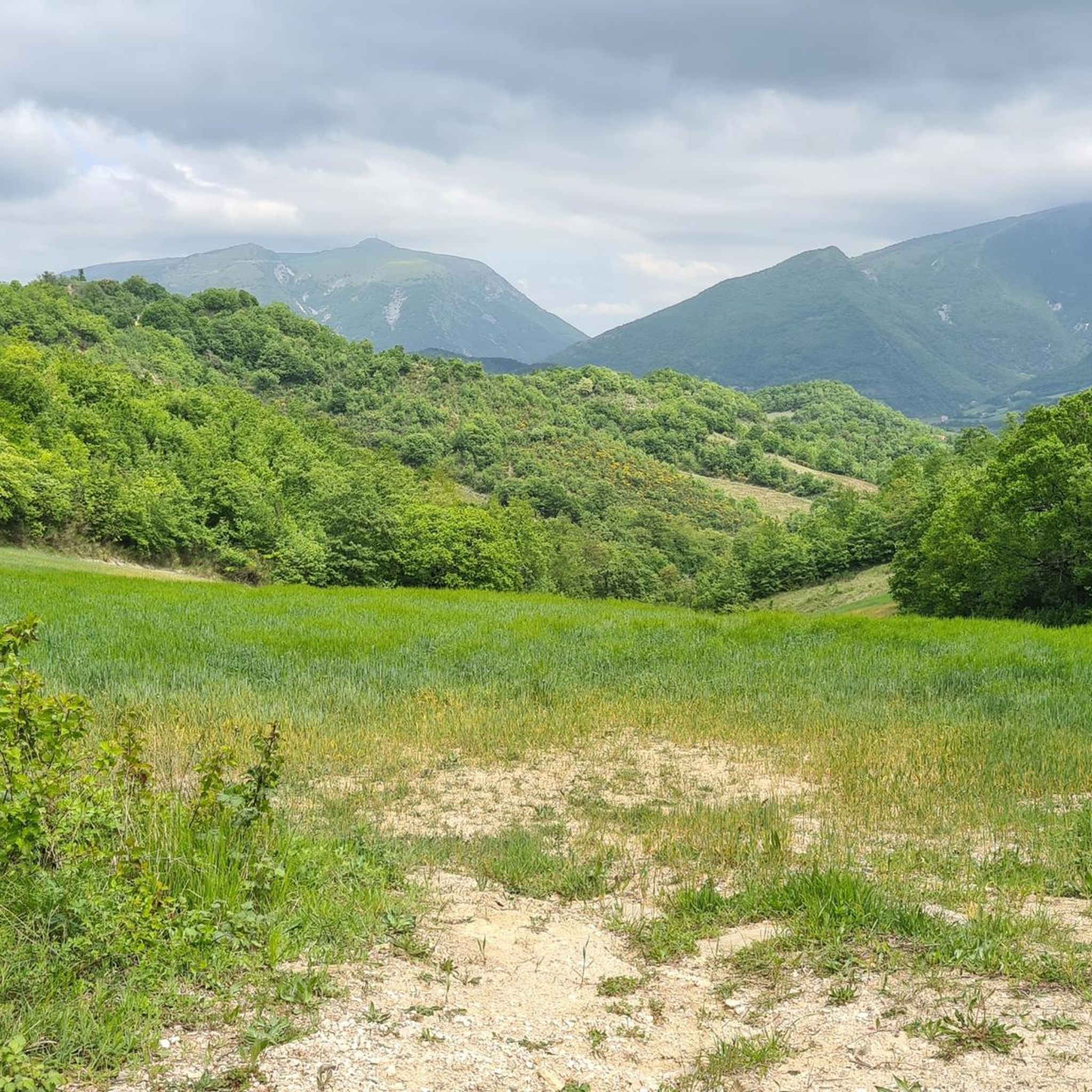
Walk all the way down the paved road, pass Mandrelli on the right (Tip!) and continue until you reach the Church of Castelfranco. On the right side of the church is a path. Turn here! You will now come to a fork (see photo 3) and take the path on the left side of the mast.
0
0

The history of Pietralunga is at least as rich as the variety of names this place has had over the millennia. Founded by the Umbrians with the name of Tufi, it later came under the influence of Rome with the name of Forum Julii Concupiensium. Razed to the ground during the barbarian invasions, it was rebuilt with the name of Plebs Tuphiae. Over time the vast fields that surround it earned it the name of Pratalonga, a name that persisted until the advent of the Kingdom of Italy which Italianized it into Pietralunga.
1
0
The area where the town of Pietralunga stands has been inhabited since prehistoric times, however the first inhabited center was founded by the Umbrians while it was the Romans who later left the valley below to settle in today's position. The current town has a typical medieval appearance with the oldest nucleus developing around the Rocca and the Parish Church of Santa Maria.
4
0

The small medieval town of Pietralunga is located in northern Umbria on a hill in the northeastern area of the Upper Tiber Valley. As numerous finds and preserved ruins from Roman antiquity show, the settlement is very old (Forum Julii Concupiensium).
2
1

A small village with beautiful views, which can be reached above all from the Val di Carpina, via Umbertide. Road with little traffic, pedaled uphill, coolness in summer. deserves!
0
1

Mountain of the Umbria-Marche Apennines of 1525m in height. The origin of the name has two hypotheses, the first, more suggestive, is the one that wants the origin of the name linked to the Roman consul Claudius Nero who would have gathered his legions here before the famous Battle of Metauro (year 207 BC) in which defeated the Carthaginians. A more likely hypothesis links the name of this mountain to the discovery of a statuette of the god Mars, which occurred during the construction works of the RAI broadcasting center on the summit.
0
0

Frequently Asked Questions
How many running routes are available in Serre Del Burano?
Serre Del Burano offers a diverse selection of nearly 20 running routes. These range from moderate paths to challenging ascents, catering to various fitness levels.
What kind of terrain can I expect on the jogging trails in Serre Del Burano?
The jogging trails in Serre Del Burano feature a varied landscape, predominantly mountainous terrain with hills like Monte del Pantano and Monte Nerone. You'll encounter diverse paths, including forested areas within the Bosco di Tecchie Nature Park, and some routes even incorporate historical elements such as old Roman roads.
Are there any easy or beginner-friendly running routes in Serre Del Burano?
While many routes in Serre Del Burano are considered difficult due to significant elevation changes, there are moderate options available. For example, the Pian della Serra – Monte Vargonzana loop from Col di Fiore is a moderate 5.5-mile path featuring varied scenery suitable for those looking for a less strenuous run.
What are some notable natural features or viewpoints I might encounter on a run?
Runners in Serre Del Burano can enjoy panoramic views of the region, especially from higher elevations like Monte Nerone. The area also boasts natural features such as the Bosco di Tecchie Nature Park, offering scenic forested sections, and the general mountainous landscape provides picturesque vistas throughout your run.
Are there any circular running routes in Serre Del Burano?
Yes, many of the running routes in Serre Del Burano are designed as loops, allowing you to start and finish in the same location. Examples include the challenging Monte Nerone loop from Apecchio and the moderate Pian della Serra – Monte Vargonzana loop from Col di Fiore.
What do other runners enjoy most about the trails in Serre Del Burano?
The running routes in Serre Del Burano are highly rated by the komoot community, with an average score of 4.25 stars from 9 reviews. Runners often praise the challenging mountainous terrain, the diverse trails, and the beautiful nature parks that define the region's outdoor experience.
Are there any running routes that pass through historical areas?
Yes, some routes offer a glimpse into the region's history. The Pietralunga Historic Village – Madonna of the Wayfarer loop from Monte Castellaccio is a notable example, leading you through historical villages and natural surroundings. Additionally, some trails incorporate sections of old Roman roads.
What is the typical duration for a running route in Serre Del Burano?
Running routes in Serre Del Burano vary significantly in duration depending on their length and difficulty. You can find shorter, moderate paths that take around an hour, such as the Pian della Serra – Monte Vargonzana loop (approx. 1 hour 6 minutes), to more challenging, longer routes that can take over 3 hours, like the Monte Nerone loop from Apecchio.
Are there any particularly challenging running trails for experienced runners?
Absolutely. Serre Del Burano is known for its difficult routes with substantial elevation gains. The Monte Catria Summit Cross loop from Chiaserna, for instance, features over 1100 meters of elevation gain over 9.8 kilometers, making it a demanding option for seasoned runners.
Can I find running routes that offer a mix of natural beauty and cultural interest?
Yes, Serre Del Burano provides routes that blend natural beauty with cultural elements. The Pietralunga Historic Village – Madonna of the Wayfarer loop is an excellent choice, combining natural landscapes with the charm of historical villages. The presence of old Roman roads on some trails also adds a unique historical dimension to the natural scenery.
What is the best time of year to go jogging in Serre Del Burano?
Serre Del Burano offers compelling outdoor experiences throughout the year. While specific recommendations depend on personal preference for weather and trail conditions, spring and autumn generally provide pleasant temperatures for jogging. Summer can be warm, especially at lower elevations, while winter might offer unique, snow-covered landscapes on higher trails, though some routes may require more specialized gear.
Most popular routes in Serre Del Burano

Get inspired with the komoot mobile app


Explore more
Browse the best Running Trails & Routes in other regions.
