The best running trails in Valle Avellana
5.0
(2)
241
runners
27
runs
Jogging routes in Valle Avellana traverse a landscape characterized by green hills, panoramic paths, and river valleys. The region, situated in the Pesaro e Urbino province, features diverse terrain including forests and unspoilt hedges. Runners can explore areas like Valle di Teva and the Valconca hills, which offer scenic views. The Foglia River also provides routes through natural settings.
Best jogging routes in Valle Avellana
- The most popular jogging route is Running loop from Fratte, a 7.9 miles (12.8…
Last updated: May 24, 2026
7
runners
12.8km
01:42
490m
490m
Hard run. Very good fitness required. Mostly paved surfaces. Suitable for all skill levels.
4
runners
11.9km
01:27
370m
370m
Hard run. Very good fitness required. Mostly paved surfaces. Suitable for all skill levels.

Sign up for free
4
runners
Hard run. Very good fitness required. Mostly paved surfaces. Suitable for all skill levels.
3
runners
6.12km
00:46
240m
230m
Moderate run. Good fitness required. Mostly paved surfaces. Suitable for all skill levels.
3
runners
12.2km
01:19
220m
220m
Moderate run. Good fitness required. Mostly paved surfaces. Suitable for all skill levels.
Get access to more routes and recommendations from other explorers.
Sign up for free
Already have an account?
Our route recommendations are based on thousands of hikes, rides, and runs completed by other people on komoot.
Start today with a free account
Your next adventure awaits.
Login or Signup

Tips from the Community

The Conca river is a watercourse that flows in the Rimini Apennines. It originates from the eastern side of Mount Carpegna, at 1415 meters above sea level, and continues in the direction of the Adriatic Sea, covering approximately 44.5 kilometres.
0
0

From this bridge it is possible to observe the stony bed of the Conca river. The river is often dry but during flood periods the flow of water completely transforms the landscape.
0
0

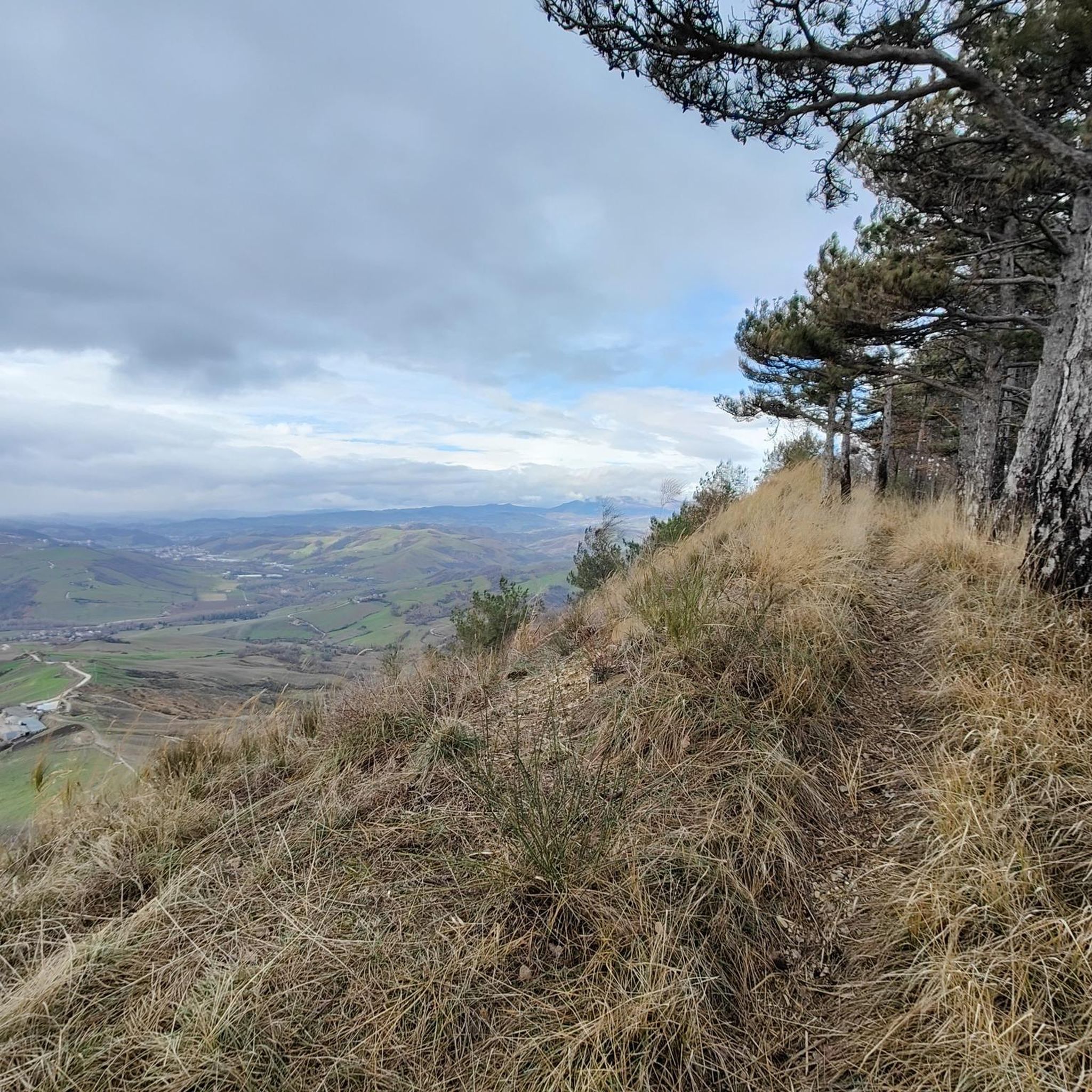
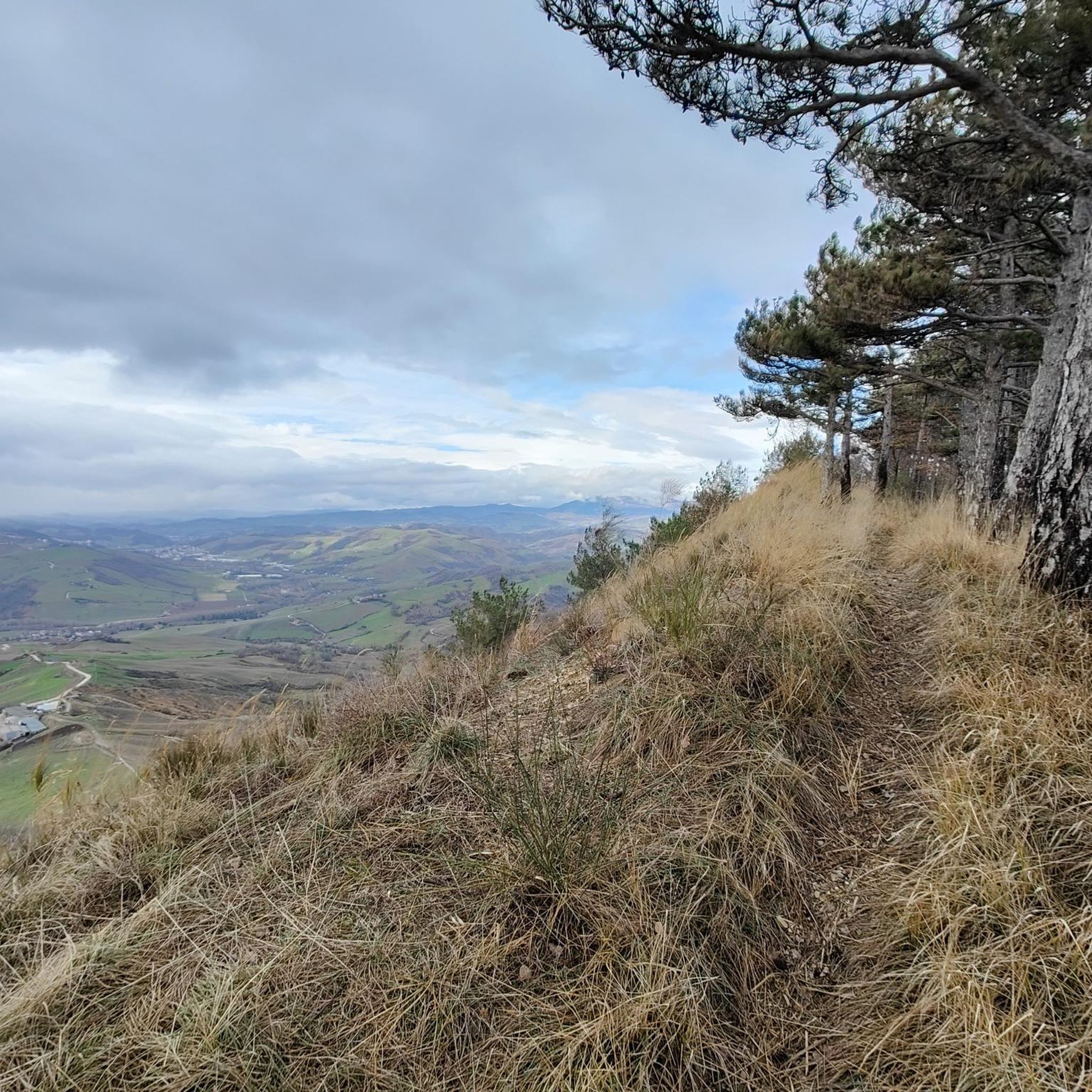
Sassofeltrio stands on a spur of chalky rock not far from the central part of the Conca valley. Protected by a defensive wall, it offers a panoramic point of view over a vast, sun-filled valley. In addition to the valley, you can admire San Marino and Mount Titano in the distance.
0
0

Beautiful castle and great places to have lunch
0
0

Nestled among the hills, a crossing point for some off-road trails, at the Il Capannino farmhouse you can refresh yourself and also have lunch with excellent Romagna cuisine.
0
0

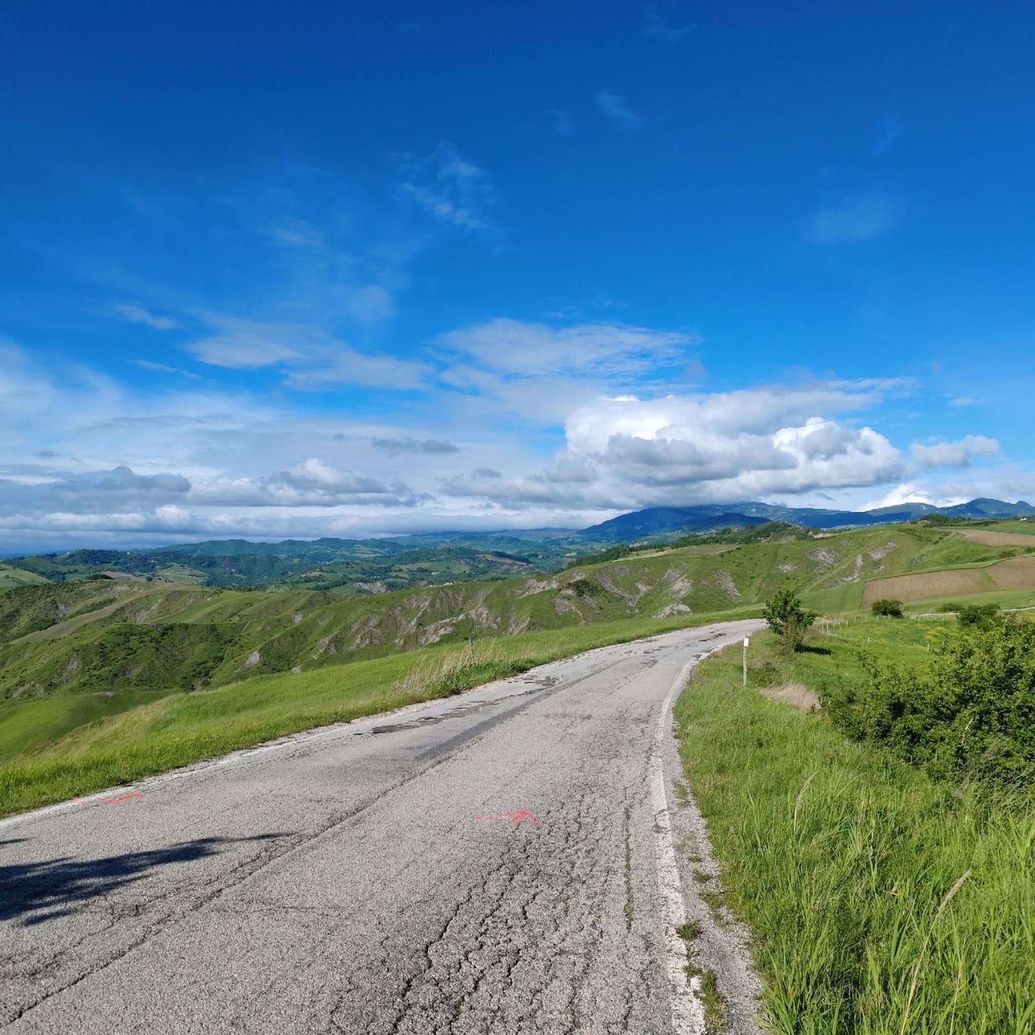
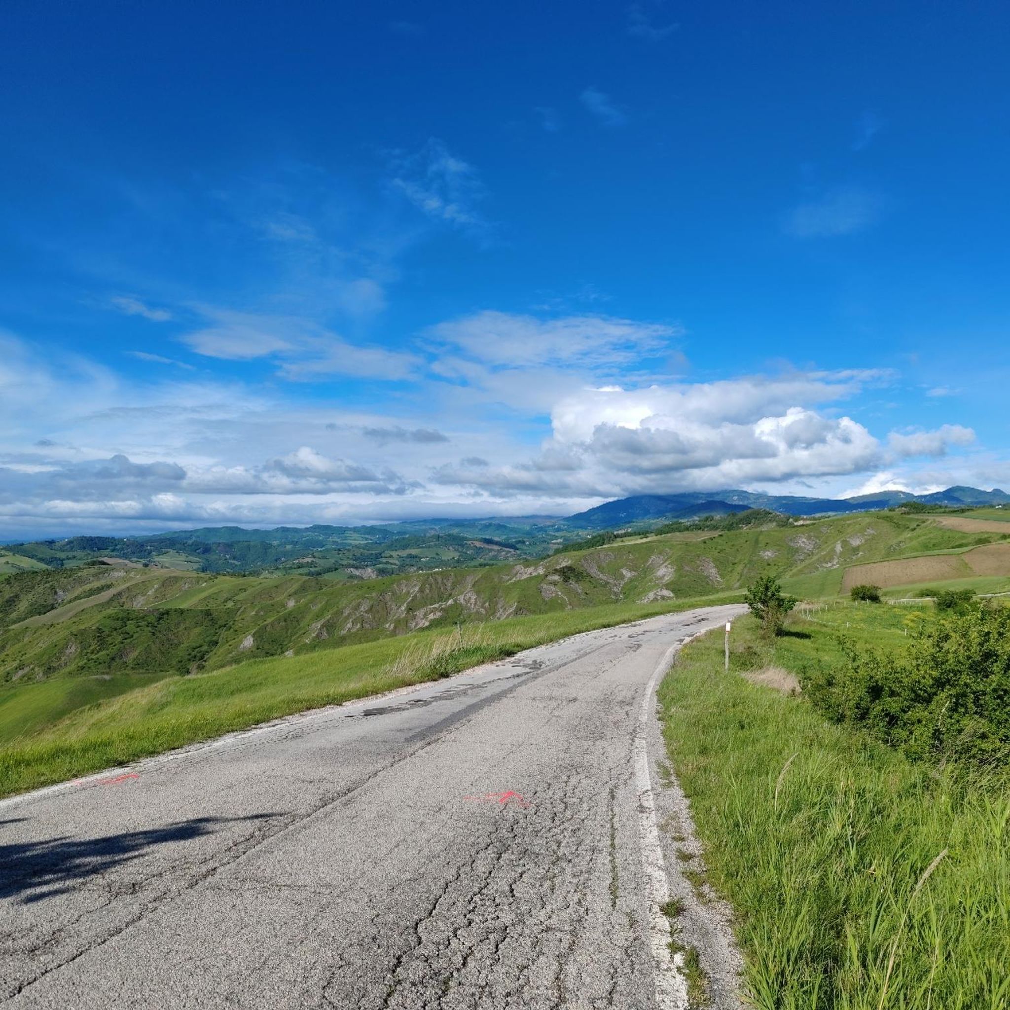
Beautiful road on the crest of the hill not far from an agriturismo with great food.
0
0

A small town in the middle Conca Valley, located on the left bank of the Conca River. Although this place is relatively modern and not as idyllic as some other historic towns in the area, the town is still well located for a short refreshment stop before the long climb to Villagrande.
2
0

Mercatino Conca is the most important center of the Conca valley, a fundamental transit hub to reach Mount Carpegna and Villagrande.
0
0
Frequently Asked Questions
How many running routes are available in Valle Avellana?
There are over 20 running routes in Valle Avellana, catering to various fitness levels. The komoot community has contributed to mapping these trails, with more than 200 runners exploring the area.
What are the typical difficulty levels for jogging trails in Valle Avellana?
The jogging trails in Valle Avellana range from moderate to difficult. There are 10 moderate routes and 11 difficult routes available, offering options for both intermediate and experienced runners.
Are there any easy or beginner-friendly running routes in Valle Avellana?
While many routes are moderate to difficult, the region's diverse terrain means some paths are less strenuous. For example, the Running loop from La Miniera is a moderate 7.5 km trail that might be suitable for those looking for a less challenging run.
What kind of natural features can I expect to see while running in Valle Avellana?
Valle Avellana offers a rich variety of natural features. You can expect to run through green hills, along panoramic paths, and beside river valleys like the Foglia River. The broader Le Marche region also boasts extensive woods and unspoilt hedges, providing a lush environment.
Are there any running routes with scenic viewpoints in Valle Avellana?
Yes, the region is known for its panoramic views. Areas like Valle di Teva offer picturesque settings, and from Fonte Avellana, you can enjoy sweeping views of the Apennine mountains, making for very scenic runs.
What do other runners enjoy most about jogging in Valle Avellana?
The komoot community highly rates the running experience in Valle Avellana, with an average score of 5.0 stars. Reviewers often praise the varied terrain, the green hills, and the panoramic paths that define the region's routes.
Are there any circular running routes in Valle Avellana?
Yes, many of the running routes in Valle Avellana are circular. Examples include the Running loop from Fratte, the Mercatino Conca loop from Mercatino Conca, and the Santa Maria del Piano – Bridge over the Conca River loop from Santa Maria del Piano, all designed as loops for convenience.
Are there any specific attractions or landmarks I can visit along the running trails?
While running, you might encounter points of interest such as the ancient Monastero di Fonte Avellana, nestled at the foot of Mount Catria, which also features a botanical garden. The Riserva Naturale Orientata di Onferno, with its caves, is another natural attraction in the wider area that can be part of a longer excursion.
What is the best time of year to go running in Valle Avellana?
Valle Avellana's diverse landscapes, including forests and green hills, make it suitable for running across different seasons. The region's natural beauty can be enjoyed throughout the year, though spring and autumn often offer milder temperatures and vibrant scenery.
Are there any dog-friendly running trails in Valle Avellana?
Many natural trails in Valle Avellana are generally dog-friendly, allowing you to enjoy a run with your canine companion. However, it's always advisable to keep dogs on a leash, especially in nature reserves or near livestock, and to check local regulations for specific areas.
Can I find family-friendly running routes in Valle Avellana?
While many routes are moderate to difficult, families looking for a run can find suitable paths, particularly those that are shorter and have less elevation gain. It's best to check the route details for distance and elevation to ensure it matches your family's fitness level.
Is parking available near the running trailheads in Valle Avellana?
For many routes starting from towns or villages, parking is typically available. For example, routes like the Mercatino Conca loop from Mercatino Conca would likely have parking options within the village itself.
Most popular routes in Valle Avellana

Get inspired with the komoot mobile app


Explore more
Browse the best Running Trails & Routes in other regions.
