The best mountain hikes in Park Prirode Dragašnica I Komarnica
4.7
(23)
167
hikers
6
hikes
Mountaineering in Park Prirode Dragašnica I Komarnica is characterized by rugged mountain ranges, deep canyon valleys, and diverse natural features. The terrain ranges in altitude from 651 meters in the Komarnica river canyon to the peak of Ogorjeli Krs at 1,998 meters. This region, bordering Durmitor National Park, offers varied landscapes including impressive mountain ridges and well-preserved mountain forest areas.
Best mountaineering routes in Park Prirode Dragašnica I Komarnica
- The most popular mountaineering route is Bobotov Kuk – Bobotov Kuk…
Last updated: September 1, 2026
5.0
(1)
17
hikers
8.70km
04:30
700m
700m
Hard mountaineering route. Good fitness required. Sure-footedness, sturdy shoes and alpine experience required.
5.0
(2)
10
hikers
10.7km
05:49
1,000m
1,000m
Hard mountaineering route. Very good fitness required. Mostly accessible paths. Sure-footedness required.

Sign up for free
3
hikers
8.35km
03:48
590m
590m
Moderate mountaineering route. Good fitness required. Mostly accessible paths. Sure-footedness required.
4.9
(10)
79
hikers
10.0km
05:10
790m
790m
Hard mountaineering route. Very good fitness required. Sure-footedness, sturdy shoes and alpine experience required.
4.3
(7)
47
hikers
11.6km
05:30
830m
840m
Hard mountaineering route. Very good fitness required. Sure-footedness, sturdy shoes and alpine experience required.
Our route recommendations are based on thousands of hikes, rides, and runs completed by other people on komoot.
Start today with a free account
Your next adventure awaits.
Login or Signup
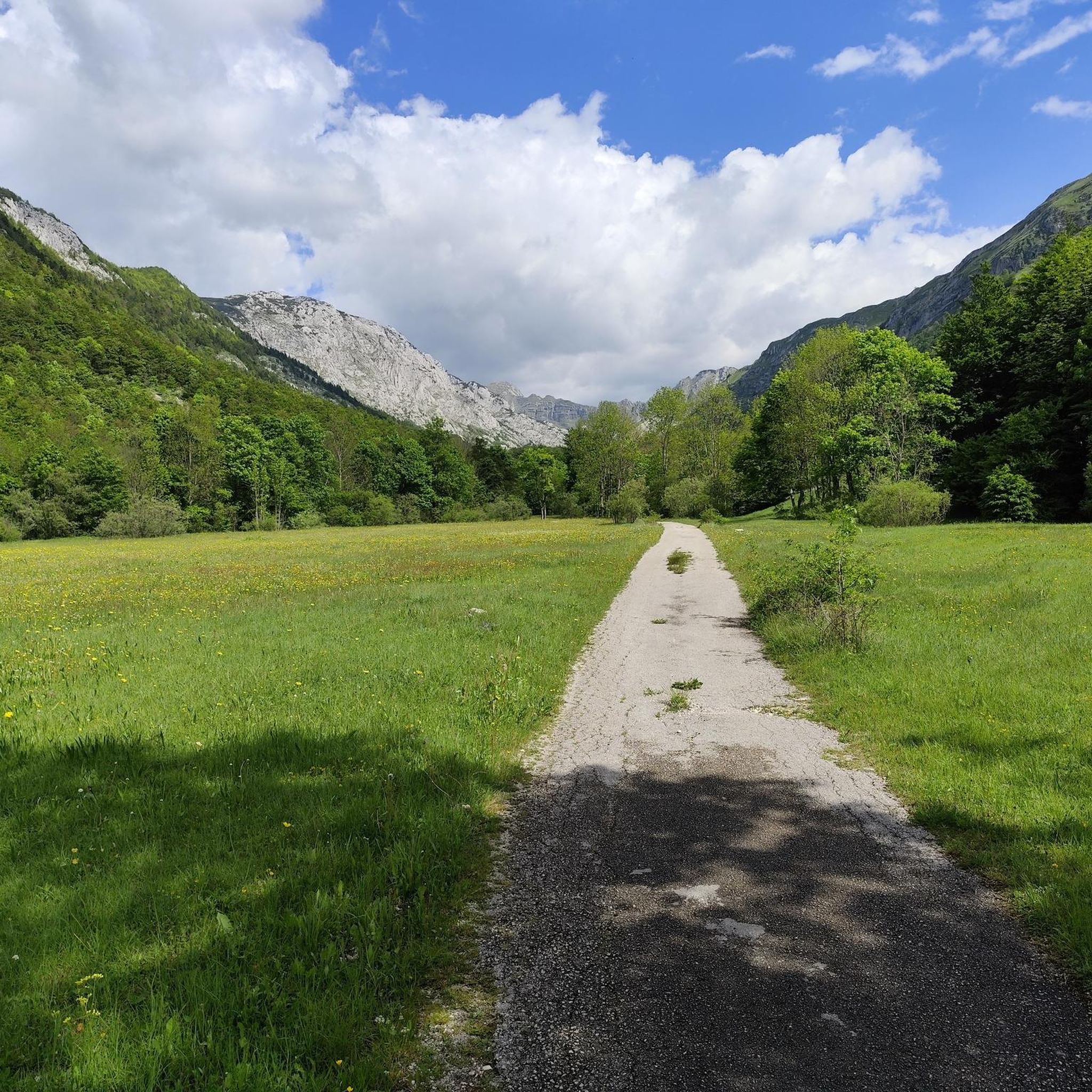
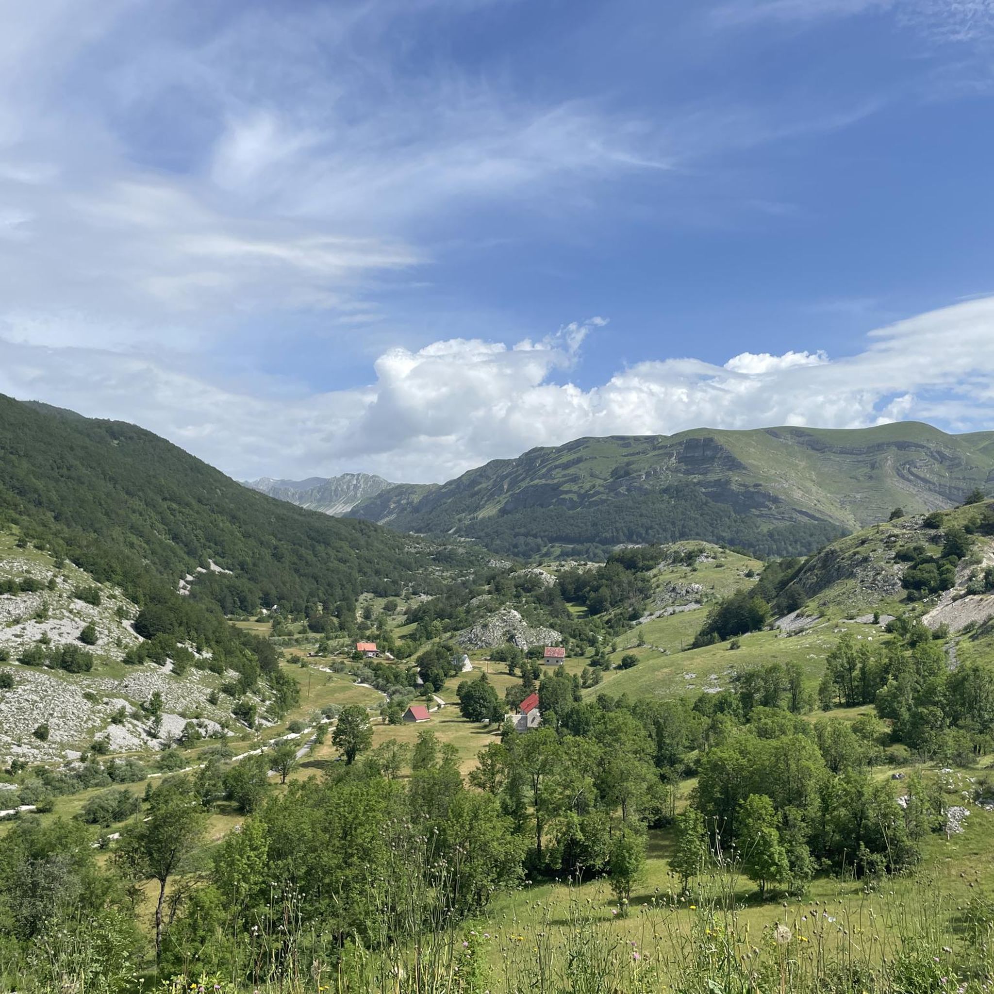
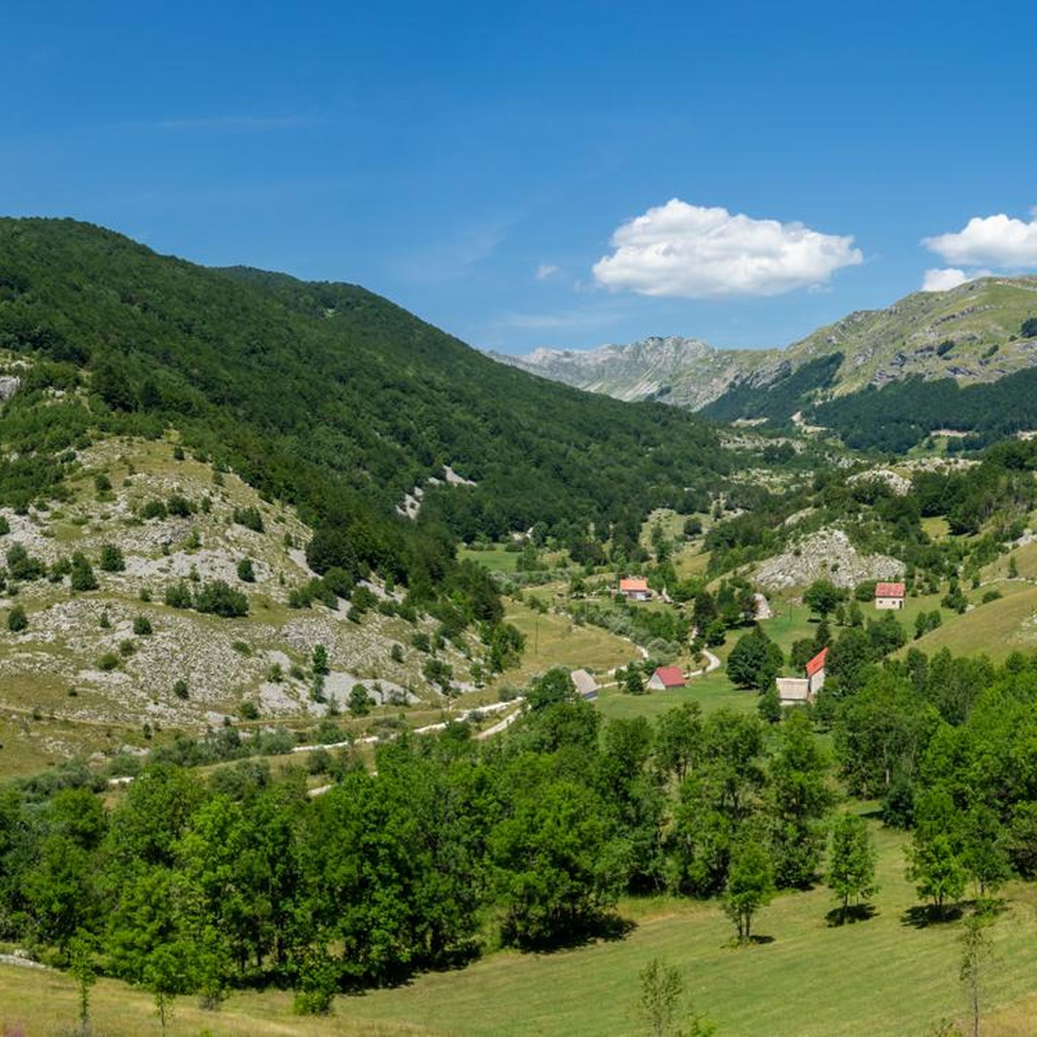
Tips from the Community

Amazing views from the summit! However, the route from Todorov Do on the western side is definitely difficult, with very steep, narrow sections and steep drop-offs. Some parts require climbing experience, and descending this way does not seem feasible. The route from Dobri Do to the south looks like a much better option for both ascent and descent. The Todorov Do route should definitely be rated difficult, not moderate.
3
0

Breathtaking views and well-maintained and marked trails
0
0
We just completed this hike in early June. The ascent (via Todorov Do) is very technical and challenging for inexperienced hikers (30/40 degree slope, rocky and unstable terrain, some climbing, etc.). The descent (which is actually the ascent to the summit of the other side, which is another hike - a loop with a lake viewpoint, starting from the Dobri Do parking lot) is much simpler. Note that the end of the hike in the plain to return to the car is not at all signposted, the path is not easily visible, and the GPS track does not always match; you are mostly off-piste.
3
3

This is where my tour ends, but you can also start it here. Cars can also be parked here and then you can continue on foot. I always find it better to take different routes to the summit and back so you can see more of the surroundings and this is a good place to do it.
6
0
From the picture you can easily see how steep it is here. The rock is also not that stable and you have to be careful where you walk so that no rocks fall down. But it still happens. That's why you should wear a helmet. If there are too many people around, it's better to wait a bit and keep your distance. The route is fun and not that easy.
4
0
Here you can take a short break to enjoy the great view of the lake and the surrounding area. Then comes the final push to the summit, where you have to climb.
4
0
Before the summit there are places where you have to climb a bit on 4 legs. The route is steep and walking poles help a lot. It is recommended to have a helmet with you because sometimes stones fall from above, especially when there are a lot of people (like in my case, even a metal water bottle fell down...)
7
0
From here you can already see Bobotov Kuk. It is easy to see that before the summit it becomes steep and strenuous. Up to this point the path is quite normal, but that will soon change.
4
0
Frequently Asked Questions
What kind of terrain can I expect when mountaineering in Park Prirode Dragašnica I Komarnica?
The park is characterized by rugged mountain ranges, deep canyon valleys, and impressive ridges. Altitudes vary significantly, from 651 meters in the Komarnica river canyon up to the peak of Ogorjeli Krs at 1,998 meters. You'll encounter diverse landscapes, including well-preserved mountain forests and open, panoramic areas.
Are there any easier mountaineering routes for beginners in the park?
While many routes are challenging, there are options suitable for those with moderate fitness. For example, the Trailhead for Bobotov Kuk loop from Dobri Do is rated moderate and takes about 3 hours 49 minutes. Another moderate option is the Prutaš Peak (2,393 m) loop from Pištet (Bjelinovac), which is around 8 km long.
What are some of the most challenging mountaineering routes in Park Prirode Dragašnica I Komarnica?
For experienced mountaineers seeking a challenge, routes like Bobotov Kuk – Bobotov Kuk Summit loop from Dobri Do offer high-mountain experiences, taking around 4 hours 30 minutes to complete. Another demanding option is the Prutaš Peak (2,393 m) loop from Dobri Do, which involves a significant ascent and provides expansive panoramic views.
What natural features and landmarks can I see along the mountaineering routes?
The park is rich in natural wonders. You can explore the dramatic Nevidio Canyon, known for its deep gorges and waterfalls, or witness the impressive Boljske Grede mountain ridges, often called 'Nature's Balcony' for their panoramic views. The Dragišnica Forest Complex offers pristine mountain meadows and natural springs, while the Komarnica River and its canyon provide stunning vistas.
What is the best time of year for mountaineering in Park Prirode Dragašnica I Komarnica?
The best time for mountaineering is typically during the warmer months, from late spring through early autumn, when trails are clear of snow and weather conditions are more stable. This allows for full access to the higher altitudes and canyons. Winter mountaineering is possible but requires specialized equipment and experience due to snow and ice.
Are there any circular mountaineering routes available?
Yes, several routes are designed as loops, allowing you to start and end at the same point. Examples include the Bobotov Kuk – Bobotov Kuk Summit loop from Dobri Do and the Bobotov Kuk – View of Veliko Jezero loop from Saddle, both offering comprehensive experiences of the area.
What should I know about parking when visiting the park for mountaineering?
Specific parking information varies by trailhead. Many popular starting points, such as Dobri Do or Pištet (Bjelinovac), typically have designated areas for parking. It's advisable to check local signage or park information upon arrival, especially during peak season, to ensure proper parking.
Is public transport available to reach the mountaineering trailheads?
Public transport options directly to remote trailheads within Park Prirode Dragašnica I Komarnica can be limited. It's often more practical to reach the general area by bus to nearby towns like Šavnik and then arrange for local transport or a taxi to the specific starting points of the mountaineering routes.
What kind of wildlife might I encounter while mountaineering in the park?
Park Prirode Dragašnica I Komarnica boasts a rich biodiversity. You might spot various species, including brown bears, grey wolves, foxes, deer, and wild goats. The area is also home to numerous bird species, such as eagles. Maintaining a respectful distance and not disturbing wildlife is essential.
What do other mountaineers say about their experience in Park Prirode Dragašnica I Komarnica?
The routes in Park Prirode Dragašnica I Komarnica are highly rated by the komoot community, with an average score of 4.6 stars from over 20 reviews. Mountaineers often praise the authentic mountain experience, the dramatic canyon views, and the challenging yet rewarding ascents to peaks like Prutaš and Bobotov Kuk.
Are there any specific safety considerations for mountaineering in this region?
Mountaineering in Park Prirode Dragašnica I Komarnica requires good fitness, sure-footedness, sturdy shoes, and alpine experience, especially for difficult routes. The terrain can be rugged, and weather conditions in the mountains can change rapidly. Always carry appropriate gear, sufficient water, and inform someone of your planned route and expected return time.
Are there any waterfalls to see in Park Prirode Dragašnica I Komarnica?
Yes, the park is home to impressive natural water features. The Nevidio Canyon itself features waterfalls exceeding 100 meters in height. Additionally, the Skakavica Waterfall is another notable natural spectacle within the park that you can seek out.
Most popular routes in Park Prirode Dragašnica I Komarnica

Get inspired with the komoot mobile app


Explore more
Browse the best Mountain Hikes & Routes in other regions.
