The best road cycling routes around Hohenpeißenberg
4.6
(1040)
13,874
riders
10
rides
Road cycling around Hohenpeißenberg offers varied terrain across its picturesque landscapes. The region features rolling hills, verdant meadows, and panoramic views of the Alpine foothills and nearby lakes. Cyclists can navigate gentle climbs and more demanding ascents, with river valleys and moorlands adding to the diverse scenery. This area provides a comprehensive network of routes suitable for different fitness levels.
Best road cycling routes around Hohenpeißenberg
- The most popular road cycling route is Raisting Earth Station – Full Throttle Segment…
Last updated: October 4, 2026
106
riders
Moderate road ride. Good fitness required. Some segments of this route may be unpaved and difficult to ride.
4.5
(2)
39
riders
Moderate road ride. Good fitness required. Some segments of this route may be unpaved and difficult to ride.

4.8
(5)
27
riders
Hard road ride. Very good fitness required. Mostly well-paved surfaces and easy to ride.
4.5
(2)
32
riders
Moderate road ride. Good fitness required. Some segments of this route may be unpaved and difficult to ride.
5.0
(2)
26
riders
17.7km
00:55
280m
280m
Easy road ride. Great for any fitness level. Mostly well-paved surfaces and easy to ride.
Get access to more routes and recommendations from other explorers.
Already have an account?
Our route recommendations are based on thousands of hikes, rides, and runs completed by other people on komoot.
Start today with a free account
Your next adventure awaits.
Popular around Hohenpeißenberg
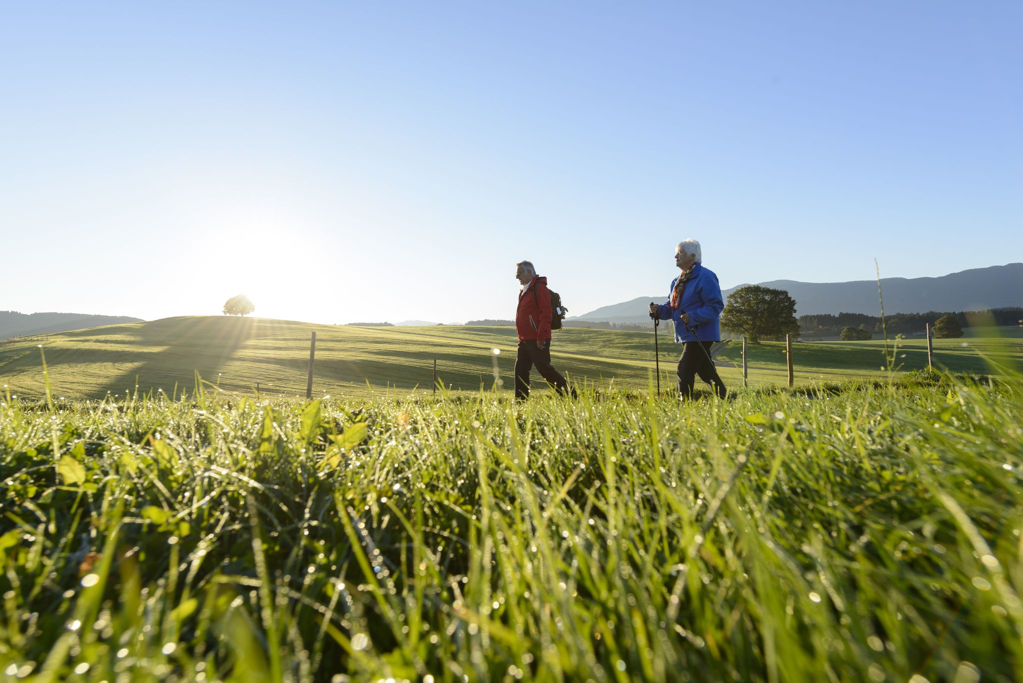
Sacred Landscape Pfaffenwinkel
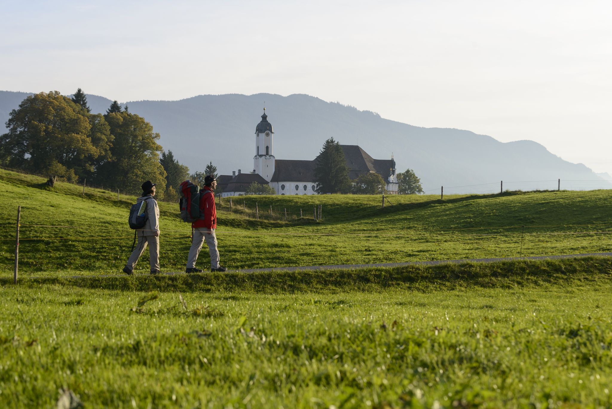
König-Ludwig-Weg: On the trails of Bavaria's fairytale König
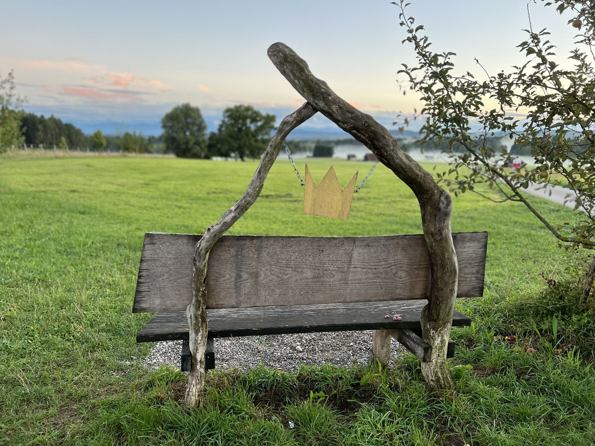
Hike the King Ludwig Trail – in the footsteps of a Bavarian king
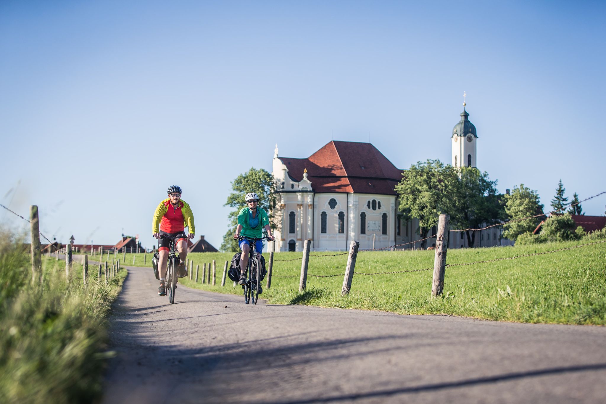
Radpilgern durch den Pfaffenwinkel
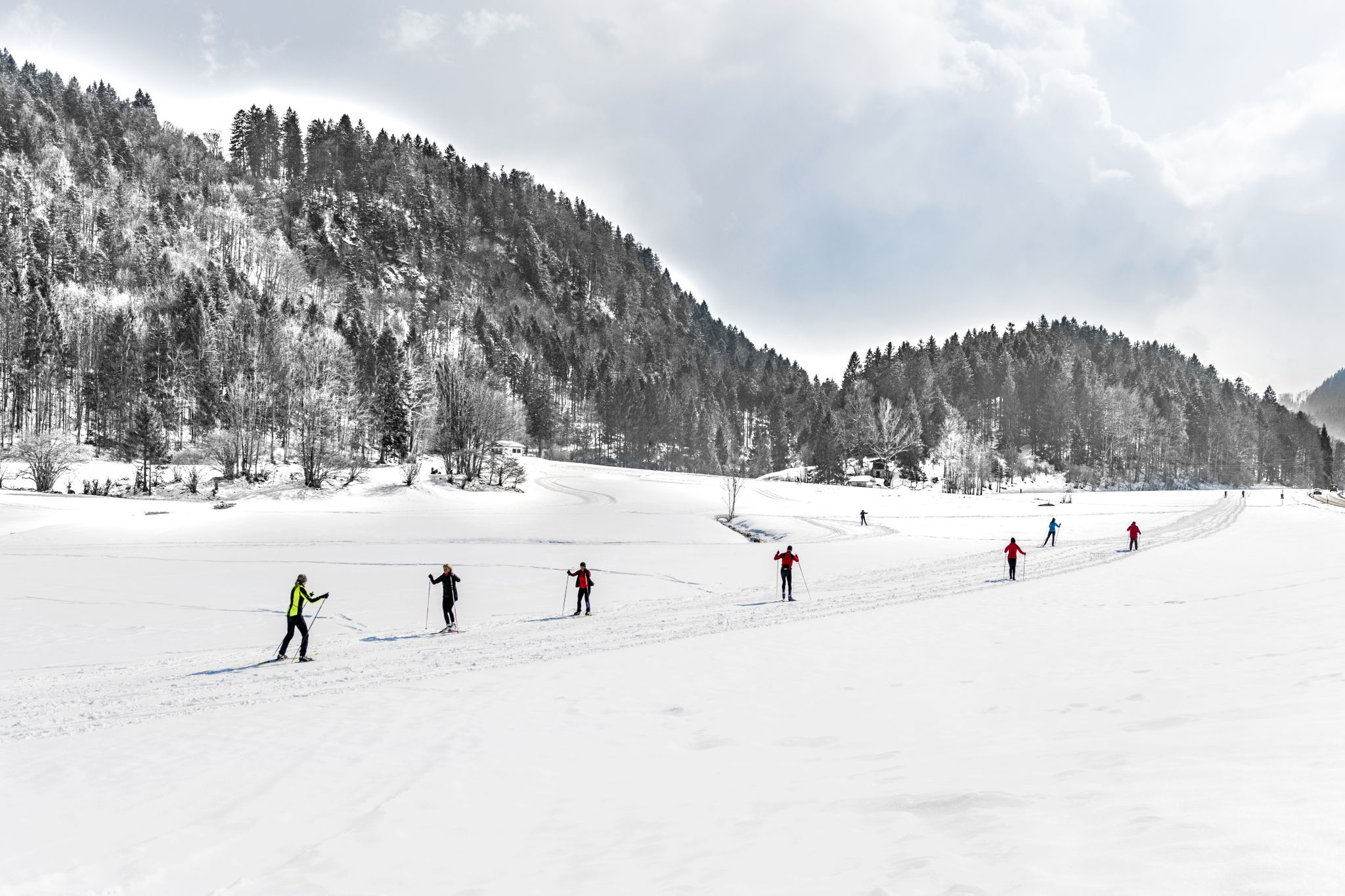
Alpenpanorama und Winterwald: Langlaufen in Oberbayern
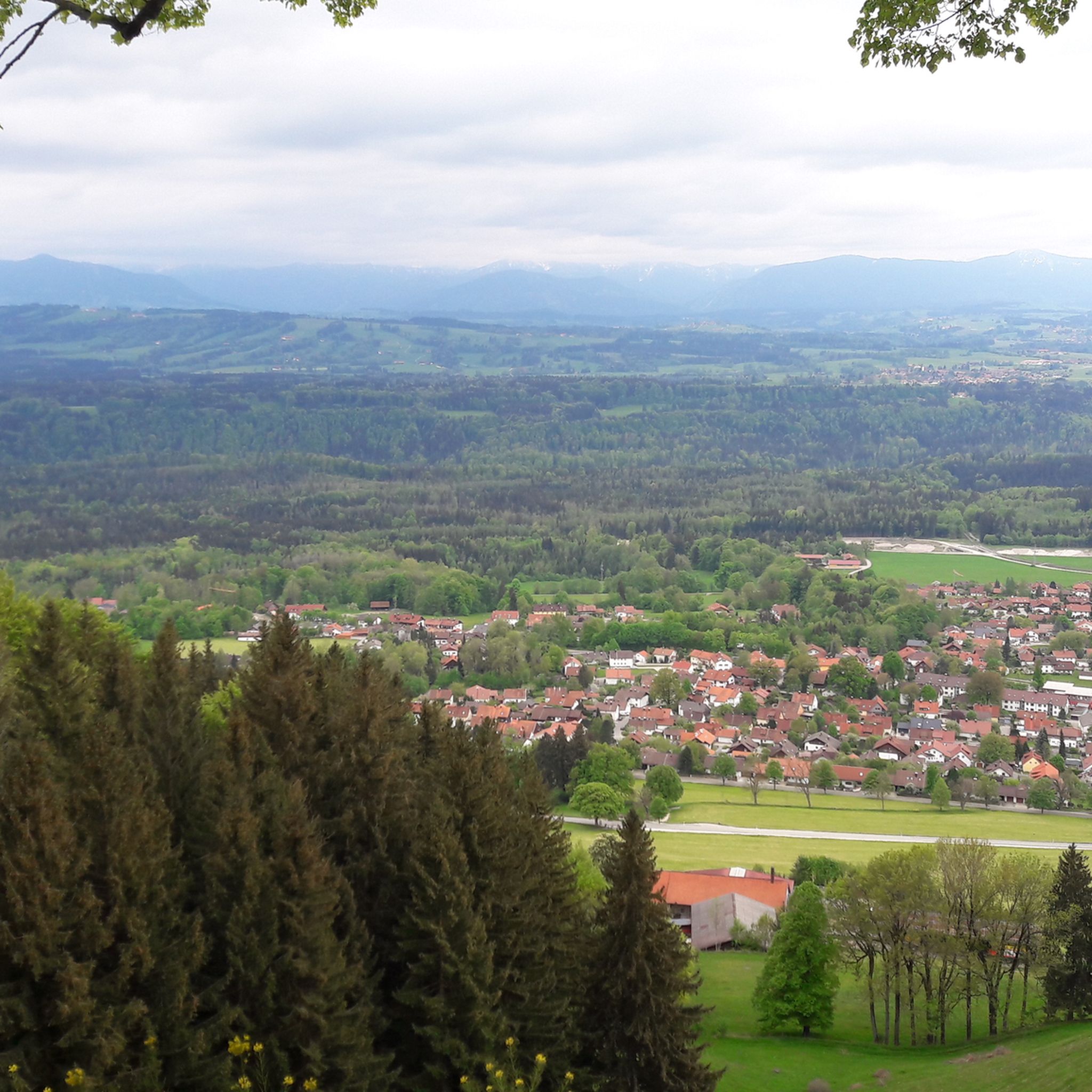
Hiking around Hohenpeißenberg
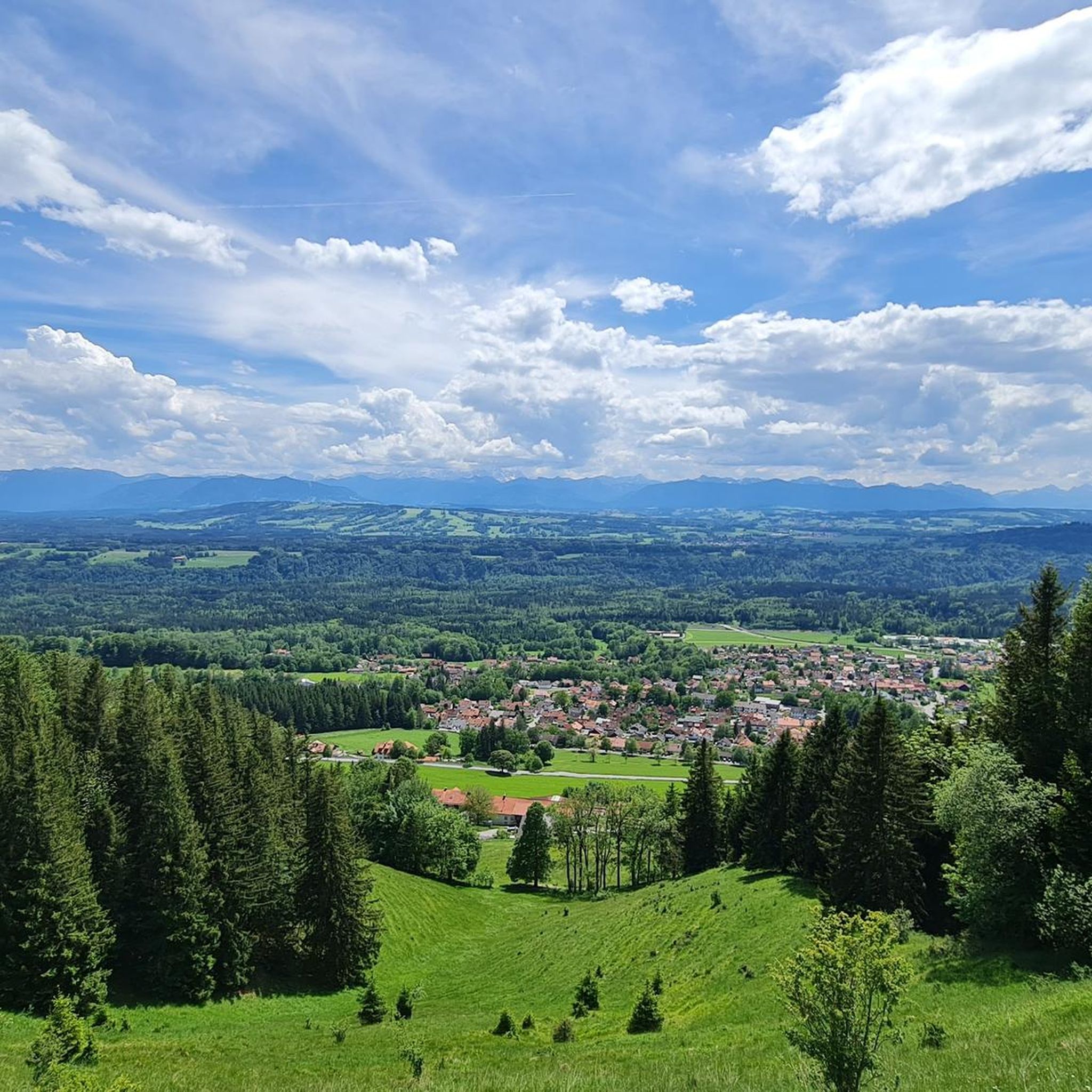
Cycling around Hohenpeißenberg
Gravel biking around Hohenpeißenberg
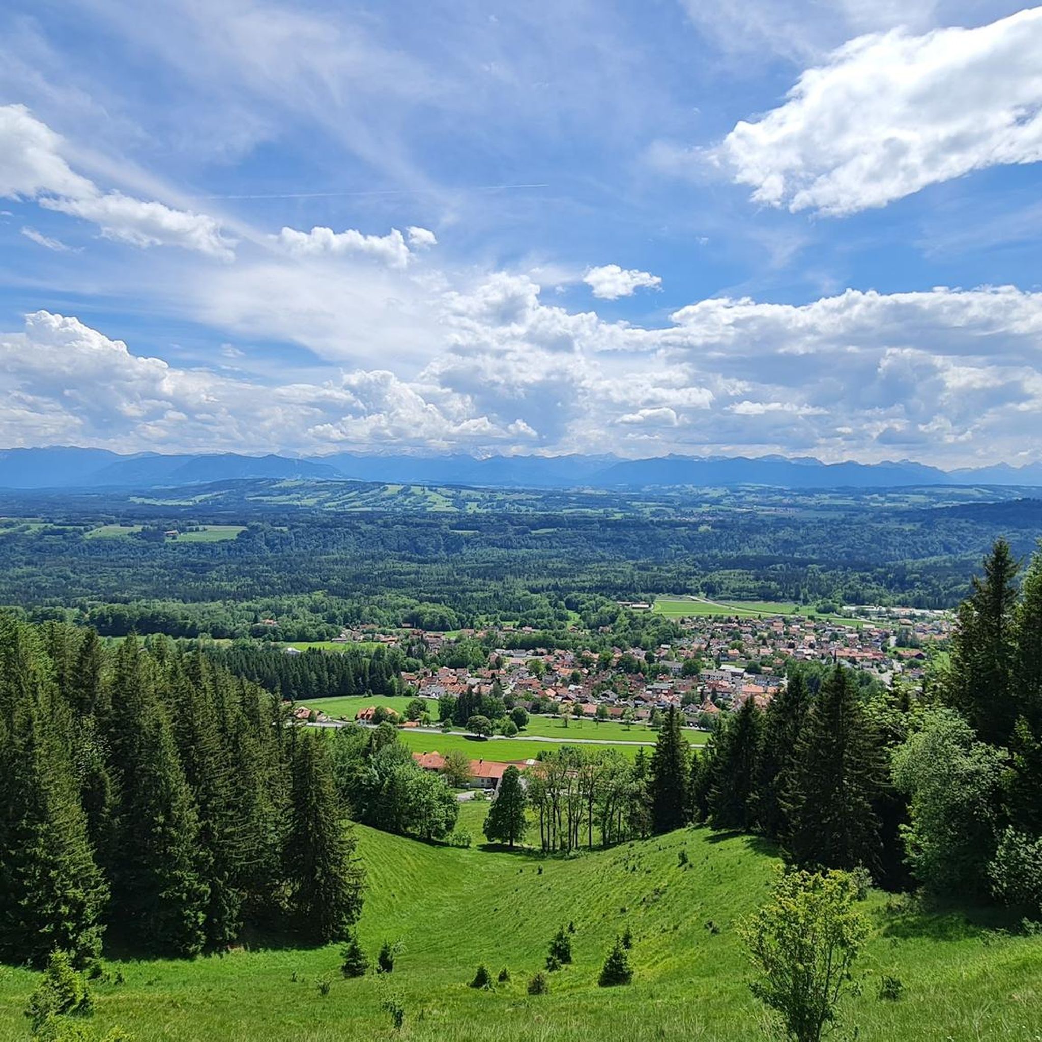
MTB Trails around Hohenpeißenberg
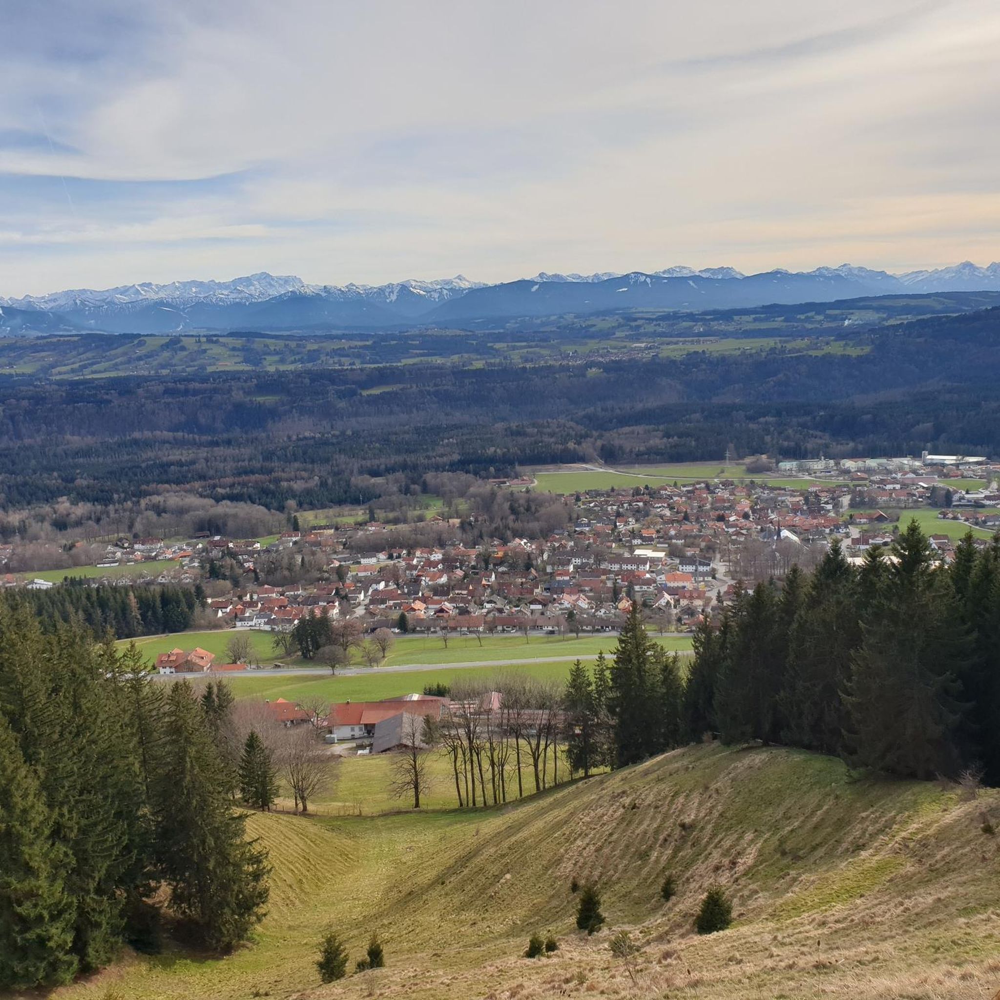
Running Trails around Hohenpeißenberg
Other adventures around Hohenpeißenberg


Tips from the Community

Great view of Ammersee and the Alps
1
0

Beautiful Upper Bavarian landscape, little traffic - but quite steep ramps!
0
0


A magnificent view of the lake and the mountains
1
0

This is the view that makes the heart beat faster,
0
0

Beautiful, newly built, traffic-calmed shopping street
0
0

Things are looking up. Definitely doable 😉
2
0

Destination: Andechs Monastery on the east side of Lake Ammersee within sight.
0
0
Frequently Asked Questions
How many road cycling routes are available around Hohenpeißenberg?
Hohenpeißenberg offers a comprehensive network of over 280 road cycling routes. These routes cater to various skill levels, including 48 easy, 205 moderate, and 36 difficult options, ensuring there's a suitable ride for everyone.
What kind of terrain can I expect on road cycling routes in Hohenpeißenberg?
The region is characterized by its rolling hills, verdant meadows, and panoramic views of the Alpine foothills. You'll encounter varied terrain, from gentle climbs to more demanding ascents, along with picturesque river valleys and moorlands. The Walchensee – South Shore of Walchensee loop from Peißenberg, for instance, leads through the Alpine foothills, offering significant elevation changes.
What natural features or landmarks can I see while road cycling in Hohenpeißenberg?
Many routes offer stunning views and pass by notable natural features. The Hoher Peißenberg summit itself provides spectacular 360-degree views of the Ammersee, Starnberger See, and the Alps. You might also encounter river ravines like the 'Schnalz' along the Ammer river, or the protected Schwarzlaichmoor. The Ammerschlucht Gorge Trail and the Sinter terraces in the Ammerschlucht are also accessible nearby.
Are there scenic viewpoints along the road cycling routes?
Yes, the region is rich in scenic viewpoints. The climb to the Hoher Peißenberg summit, often called the 'Bayerischer Rigi,' rewards cyclists with breathtaking vistas encompassing the surrounding lakes and the majestic Alps, including the Zugspitze. Many routes through the rolling hills also offer distant views of the Alpine panorama.
Are there road cycling routes suitable for beginners in Hohenpeißenberg?
Absolutely. Hohenpeißenberg offers 48 easy road cycling routes. These routes typically feature gentler climbs and less demanding terrain, perfect for those new to road cycling or looking for a more relaxed ride. The Pähl–Wielenbach Cycle Path – Full Throttle Segment loop from Peißenberg is a moderate option that winds through scenic countryside, offering a good balance for developing skills.
Are there challenging road cycling routes for experienced cyclists?
Yes, experienced cyclists will find 36 difficult routes around Hohenpeißenberg. These routes often include more significant ascents and longer distances, providing a good challenge. The Walchensee – South Shore of Walchensee loop from Peißenberg is a demanding 122.9 km trail leading through the Alpine foothills, ideal for those seeking a strenuous ride.
Can I find circular road cycling routes in Hohenpeißenberg?
Many of the road cycling routes in Hohenpeißenberg are designed as loops, allowing you to start and end at the same point. Examples include the Raisting Earth Station – Full Throttle Segment loop from Peißenberg and the Rieden Castle – View of Staffelsee from Uffing loop from Peißenberg, which offer varied distances and scenery.
What is the best time of year for road cycling in Hohenpeißenberg?
The best time for road cycling in Hohenpeißenberg is typically from spring to autumn. During these seasons, the weather is generally mild, and the landscapes are vibrant. Summer offers warm temperatures, while spring and autumn provide pleasant conditions with fewer crowds and beautiful foliage. Winter cycling can be challenging due to snow and ice, especially on higher elevations.
Where can I park my car when starting a road cycling tour in Hohenpeißenberg?
Hohenpeißenberg and its surrounding towns, such as Peißenberg, offer various parking options. Many routes start from accessible points where public parking is available, often near town centers or designated trailheads. It's advisable to check local signage for specific parking regulations and availability.
Is it possible to reach road cycling trails in Hohenpeißenberg by public transport?
Yes, Hohenpeißenberg is connected by public transport, making it possible to reach starting points for road cycling routes without a car. Regional train and bus services operate in the area, allowing cyclists to access various parts of the Pfaffenwinkel region. Check local transport schedules for the most convenient connections to your desired starting location.
Can I find places to stop for refreshments or a meal along the routes?
The Pfaffenwinkel region, where Hohenpeißenberg is located, is dotted with charming villages and towns that offer opportunities for refreshment. You'll find cafes, restaurants, and traditional Bavarian inns along or near many routes. For example, the Seehäusl at Engelsrieder See is a restaurant near one of the region's lakes, providing a scenic stop.
Are there family-friendly road cycling options in Hohenpeißenberg?
While road cycling routes often involve shared roads, many of the easier routes in Hohenpeißenberg can be suitable for families with older children who are comfortable cycling on roads. The region's extensive network includes paths with less traffic, winding through scenic countryside, which can be more enjoyable for family outings. Always prioritize routes with lower difficulty grades and consider the fitness levels of all family members.
What do other road cyclists say about the routes in Hohenpeißenberg?
The road cycling routes in Hohenpeißenberg are highly regarded by the komoot community, boasting an average rating of 4.6 stars from over 700 reviews. Cyclists frequently praise the diverse terrain, the stunning panoramic views of the Alps and lakes, and the well-maintained network of paths that cater to various skill levels.
Most popular routes around Hohenpeißenberg
Most popular attractions around Hohenpeißenberg

Get inspired with the komoot mobile app


Explore more
Browse the best Road cycling routes in other regions.
