The best MTB trails in Пио Форланд Леве Обале Дунава Код Београда
4.3
(6)
47
riders
10
rides
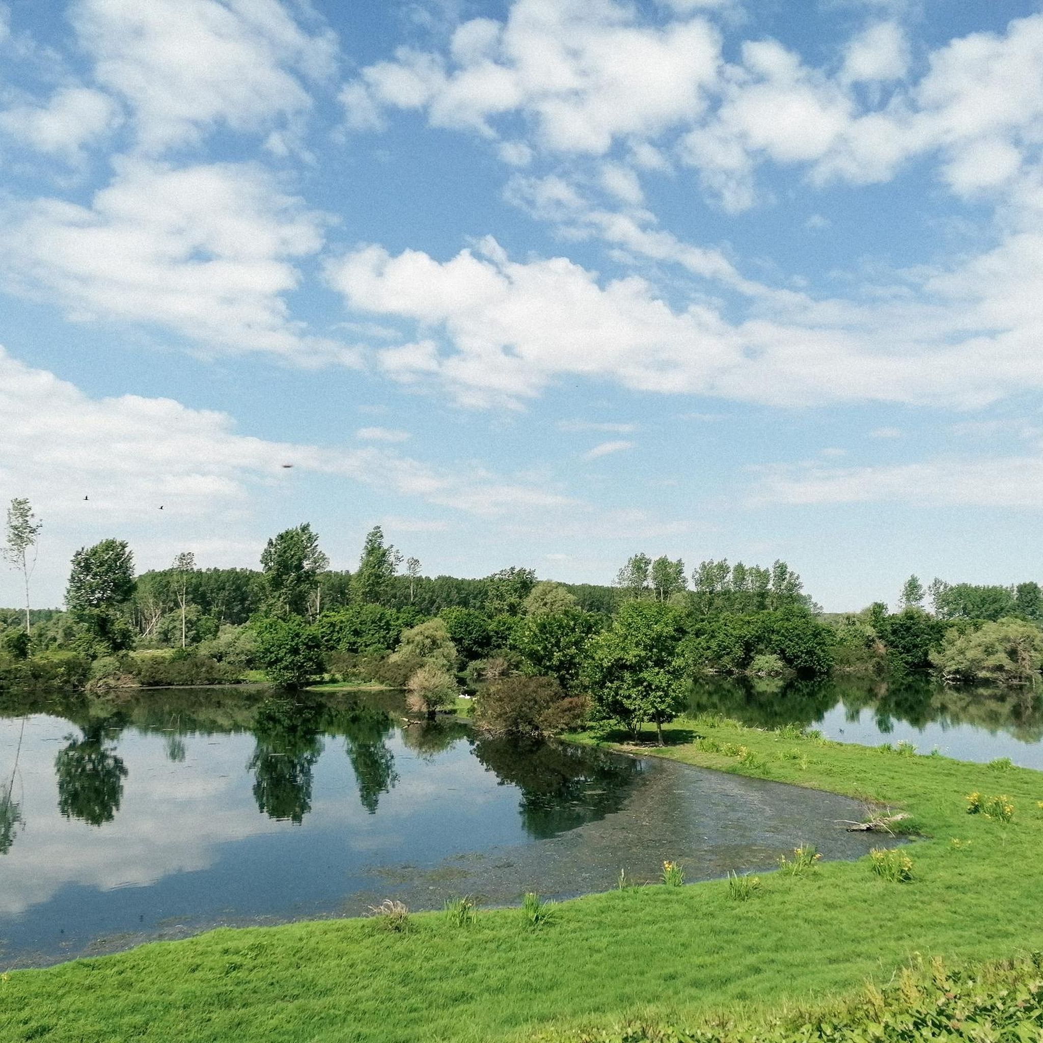
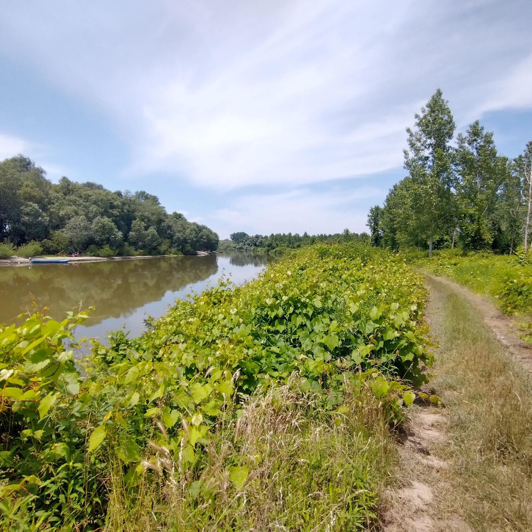
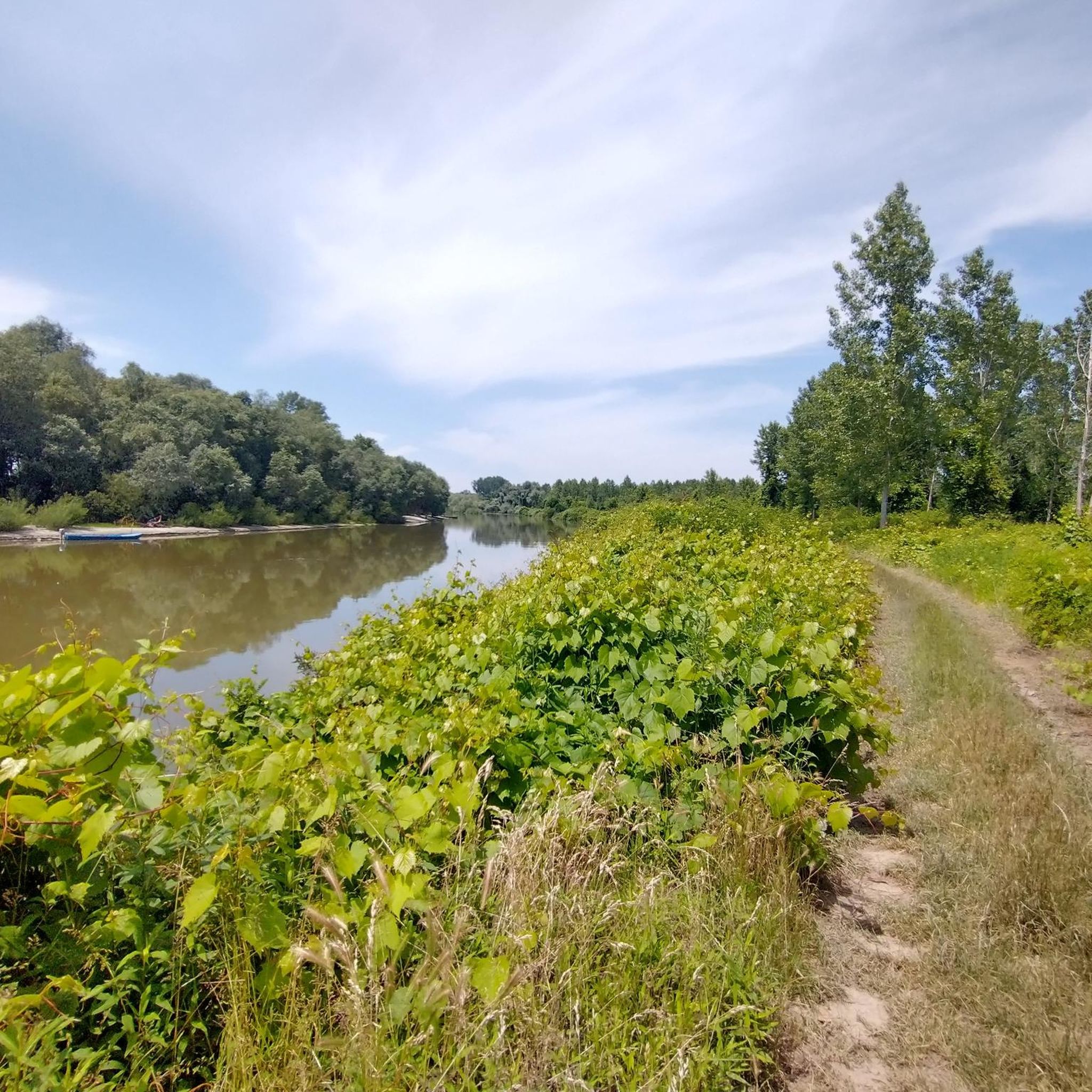
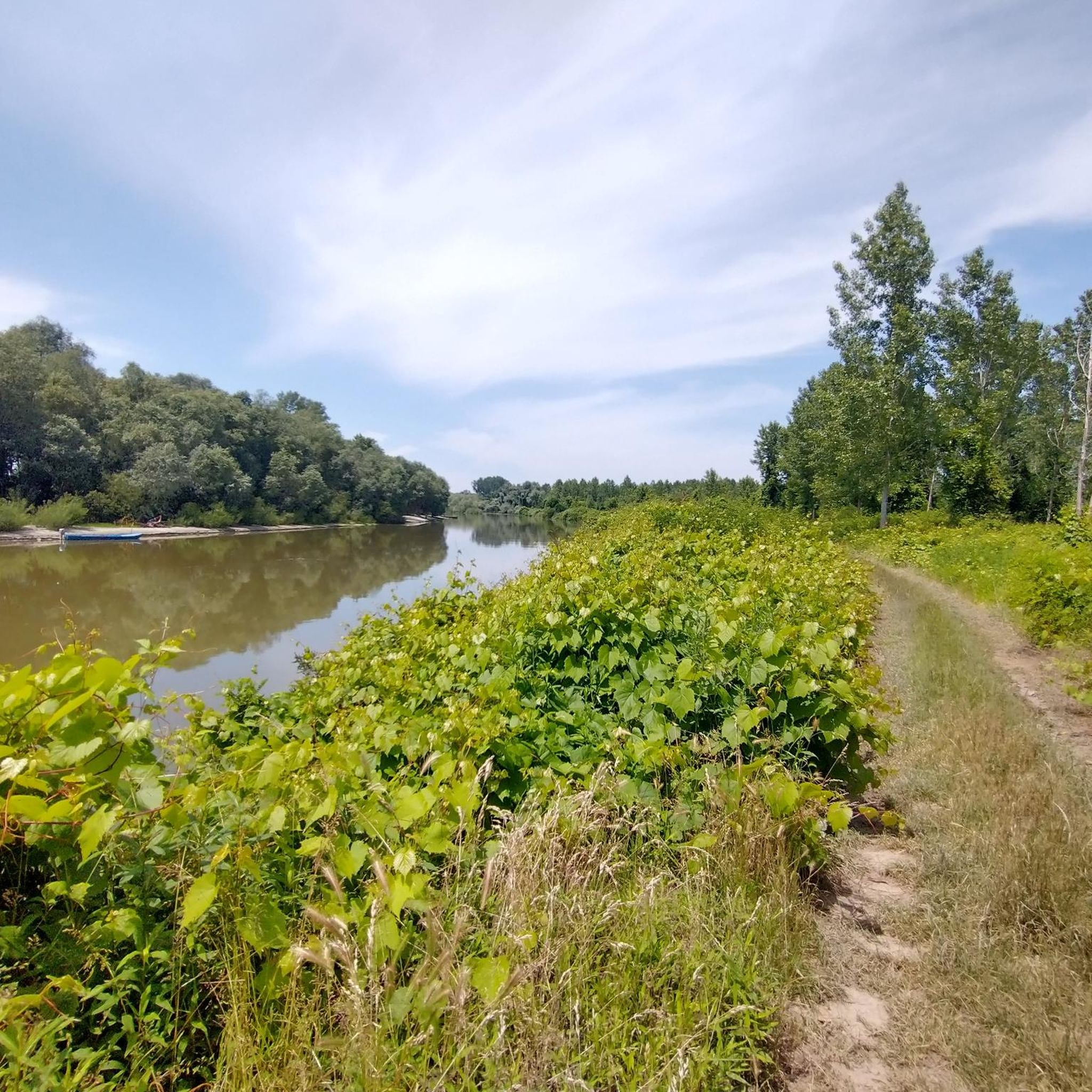
Пио Форланд Леве Обале Дунава Код Београда mountain bike trails traverse an exceptional natural landscape area in Central Serbia, characterized by its floodplain ecosystem. This region features expansive flood zones, numerous backwaters, ponds, and oxbow lakes, maintaining a natural water regime within a "green corridor." The landscape is predominantly covered by autochthonous floodplain forests of willow and poplar, providing diverse terrain for off-road cycling. These natural features create varied paths suitable for mountain biking.
Best mountain bike trails in Пио Форланд Леве Обале Дунава Код Београда
- The most popular mountain bike trail is Ada Ciganlija Lake – View from Branko Bridge loop from Вуков споменик, a 23.7 miles (38.2 km) moderate trail that takes 2 hours 36 minutes to complete, offering views of the Danube and surrounding floodplains.
- Another top favourite among local mountain bikers is View from Branko Bridge – Ada Ciganlija Lake loop from Вуков споменик, a moderate 35.7 miles (57.5 km) path. This route explores the riverbanks and forested areas near Belgrade.
- Local mountain bikers also love the Ada Ciganlija Lake – Church of Saint Sava loop from Вуков споменик, a 29.6 miles (47.7 km) trail leading through varied urban and natural landscapes, often completed in about 2 hours 57 minutes.
- Mountain biking in Пио Форланд Леве Обале Дунава Код Београда is defined by floodplain ecosystems, backwaters, and dense forests along the Danube. The network offers options for different ability levels, from easy paths to more challenging routes.
- The routes in Пио Форланд Леве Обале Дунава Код Београда are highly rated by the komoot community with an average score of 4.2 stars from 8 reviews. More than 50 mountain bikers have used komoot to explore Пио Форланд Леве Обале Дунава Код Београда's varied terrain.
Last updated: July 1, 2026
5.0
(2)
3
riders
Moderate mountain bike ride. Good fitness required. Suitable for all skill levels.
5.0
(2)
13
riders
55.5km
02:59
290m
290m
Moderate mountain bike ride. Good fitness required. Suitable for all skill levels.

Sign up for free
4
riders
68.1km
03:57
600m
600m
Moderate mountain bike ride. Good fitness required. Suitable for all skill levels.
3.0
(1)
10
riders
47.4km
02:33
110m
110m
Moderate mountain bike ride. Good fitness required. Suitable for all skill levels.
2
riders
42.8km
03:15
800m
800m
Moderate mountain bike ride. Good fitness required. Suitable for all skill levels.
Get access to more routes and recommendations from other explorers.
Sign up for free
Already have an account?
Our route recommendations are based on thousands of hikes, rides, and runs completed by other people on komoot.
Start today with a free account
Your next adventure awaits.
Login or Signup
Tips from the Community

Ada Ciganlija is a place where you can practice various sports comfortably and with quality. I recommend the place, at least to visit.
0
0

Nice shadowy road, but can be crowded during hoildays.
0
0

The view from the Branko bridge to the confluence of the Sava and the Danube and temes-class river monitor "Sava".
0
0

Renovated building of a non-existent railway station.
0
0

With a built-up area of 4830 m², it is one of the largest Orthodox churches in the world.[2] With an inner dome diameter of 30.5 m, the dome is directly modeled on the Hagia Sophia. Work on the church began in 1935. After the Second World War, construction was halted until 1985. Then work was suspended again during the civil war years from 1991 to 2004. The cost of decorating the dome with scenes from the New Testament was borne by Russian President Vladimir Putin, with Gazprom Neft initially covering the costs in 2016. The Russian Foreign Minister Sergei Lavrov attended the inauguration of the partial completion of the mosaics as part of a state ceremony on February 22, 2018.
2
0

rightly crowded by tourists, magnificent inside and out.
1
0

Topčiderski Park is one of the oldest parks in Belgrade. It covers an area of about 13 hectares, in the valley of the Topčiderska river. In Turkish, Topcider means artillery valley. This park is the first European designed park space in Serbia In the first part of the park, between Patriarch Pavle Boulevard and Topčiderska Street, there is the Residence of Prince Miloš, as well as important cultural monuments: Obelisk, Žetelica, memorial bust to Dr. Archibald Reiss. In this part of the Park (the area around the Residence of Prince Milos) the maple tree (Platanus acerifolia Wild.) dominates, which is one of the most beautiful examples of sycamore in the Balkans.
1
0
Frequently Asked Questions
How many mountain bike trails are available in the Pio Forland Left Bank of the Danube Near Belgrade?
There are 11 mountain bike trails available in the Pio Forland Left Bank of the Danube Near Belgrade. These routes offer a variety of experiences, from easy paths to more challenging rides, all set within the unique floodplain ecosystem.
Are there mountain bike trails suitable for beginners in this region?
Yes, the region offers at least one easy mountain bike trail, making it accessible for beginners or those looking for a more relaxed ride. The natural terrain, with its network of backwaters and forests, provides diverse and engaging paths for off-road cycling at various skill levels.
What kind of terrain can I expect on the mountain bike trails?
The mountain bike trails traverse an exceptional natural landscape characterized by its floodplain ecosystem. You can expect to ride through expansive flood zones, alongside numerous backwaters (Dunavci), ponds, and oxbow lakes. The landscape is predominantly covered by autochthonous floodplain forests of willow and poplar, offering varied paths and scenic beauty.
Are there any challenging mountain bike routes for experienced riders?
Yes, for experienced riders seeking a challenge, there is one difficult mountain bike trail available. Additionally, there are nine moderate trails, such as the Vujičića Climb loop from Карађорђев парк, which covers 42.6 km and includes significant elevation changes, providing a good workout.
Can I find circular mountain bike routes in the Pio Forland Left Bank of the Danube Near Belgrade?
Yes, many of the mountain bike routes in the region are designed as loops. For example, the Ostružnica Railway Bridge – Ada Ciganlija Lake loop from Београд центар is a moderate 47.9 km circular route, allowing you to start and end at the same point.
What is the best time of year to go mountain biking here?
The Pio Forland Left Bank of the Danube Near Belgrade, with its floodplain ecosystem, is best enjoyed during drier seasons to avoid muddy conditions. Spring and autumn generally offer pleasant temperatures and stable trail conditions. Summer can also be suitable, but be mindful of potential heat and humidity.
Are the mountain bike trails in the Pio Forland Left Bank of the Danube Near Belgrade family-friendly?
While specific family-friendly trails are not explicitly designated, the presence of easy routes suggests that some paths could be suitable for families with older children or those comfortable with off-road cycling. The natural setting provides a great opportunity for outdoor family adventures.
Are dogs allowed on the mountain bike trails?
The Pio Forland Left Bank of the Danube Near Belgrade is a natural landscape area known for its rich biodiversity, including protected bird and animal species. While specific regulations for dogs on mountain bike trails are not provided, it's generally advisable to keep dogs on a leash to protect wildlife and ensure a pleasant experience for all visitors. Always check local signage for specific rules.
Where can I park when visiting the mountain bike trails?
Specific parking areas for mountain bike trails in the Pio Forland Left Bank of the Danube Near Belgrade are not detailed. However, as the area is located within Belgrade's Zemun and Palilula municipalities, you may find parking options in nearby urban or suburban areas, or designated spots near common access points to the natural park. It's recommended to research parking near your chosen starting point.
What makes mountain biking in this region unique?
Mountain biking in the Pio Forland Left Bank of the Danube Near Belgrade is unique due to its distinctive floodplain ecosystem. Riders get to explore expansive flood zones, numerous backwaters, ponds, and oxbow lakes, all within a 'green corridor' of autochthonous willow and poplar forests. This rich biodiversity and natural water regime create a scenic and ecologically significant backdrop for your ride.
What do other mountain bikers say about the trails in the Pio Forland Left Bank of the Danube Near Belgrade?
The mountain bike routes in the Pio Forland Left Bank of the Danube Near Belgrade are highly rated by the komoot community, with an average score of 4.2 stars from 8 reviews. Over 50 mountain bikers have used komoot to explore this varied terrain, often praising the unique natural setting and diverse paths.
Are there any longer mountain bike routes for extended rides?
Yes, there are several longer routes for extended rides. For instance, the View from Branko Bridge – Ada Ciganlija Lake loop from Вуков споменик is a moderate 57.5 km path, which typically takes over 3 hours to complete, exploring riverbanks and forested areas.
How can I access the Pio Forland Left Bank of the Danube Near Belgrade using public transport?
While specific public transport links directly to trailheads are not provided, the Pio Forland is situated within Belgrade's Zemun and Palilula municipalities. This means it is generally accessible via Belgrade's public transport network. You may need to combine bus or tram routes with a short ride or walk to reach your desired starting point for the trails.
Most popular routes in Пио Форланд Леве Обале Дунава Код Београда

Get inspired with the komoot mobile app


Explore more
Browse the best MTB trails in other regions.
