The best walks and hikes in Riserva Naturale Regionale Della Forra Del Cellina
4.5
(3329)
13,326
hikers
14
hikes
Hiking in Riserva Naturale Regionale Della Forra Del Cellina offers access to a spectacular canyon landscape, characterized by impressive vertical walls and significant fluvial erosion. The region features a system of converging gorges carved by torrents, showcasing striking evidence of water erosion and karst phenomena. Clear, emerald-colored waters flow through the gorges, complementing the unique geological formations. The terrain includes both accessible paths and more challenging routes through varied elevations.
Best hiking trails in Riserva Naturale Regionale Della Forra Del…
Last updated: August 31, 2026
7
hikers
15.3km
07:44
1,220m
1,210m
Hike the difficult 9.5-mile Cellina Gorge Trail (CAI 996) through Italy's largest canyon, featuring steep walls and emerald waters.
4.5
(17)
81
hikers
3.43km
00:57
60m
60m
Easy hike. Great for any fitness level. Easily-accessible paths. Suitable for all skill levels.

Sign up for free
4.2
(6)
58
hikers
6.09km
01:42
110m
110m
Moderate hike. Great for any fitness level. Mostly accessible paths. Sure-footedness required.
4.0
(4)
14
hikers
12.6km
05:18
820m
830m
Hard hike. Very good fitness required. Sure-footedness, sturdy shoes and alpine experience required.
5.0
(1)
13
hikers
4.25km
01:12
90m
90m
Easy hike. Great for any fitness level. Easily-accessible paths. Suitable for all skill levels.
Get access to more routes and recommendations from other explorers.
Sign up for free
Already have an account?
Our route recommendations are based on thousands of hikes, rides, and runs completed by other people on komoot.
Start today with a free account
Your next adventure awaits.
Login or Signup
Popular around Riserva Naturale Regionale Della Forra Del Cellina
Road Cycling Routes in Riserva Naturale Regionale Della Forra Del Cellina
MTB Trails in Riserva Naturale Regionale Della Forra Del Cellina
Cycling in Riserva Naturale Regionale Della Forra Del Cellina
Running Trails in Riserva Naturale Regionale Della Forra Del Cellina

Gravel biking in Riserva Naturale Regionale Della Forra Del Cellina

Mountain Hikes in Riserva Naturale Regionale Della Forra Del Cellina
Tips from the Community

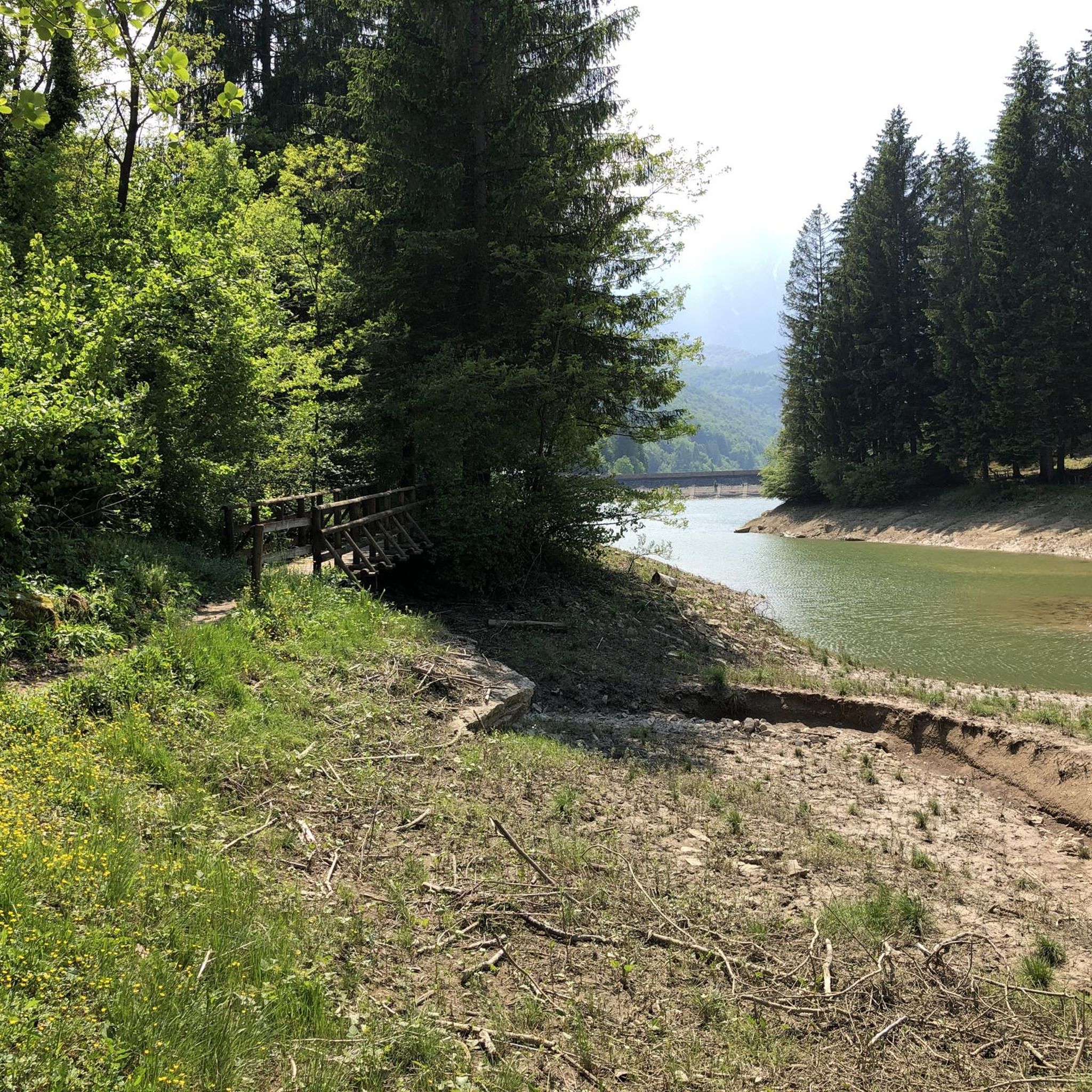
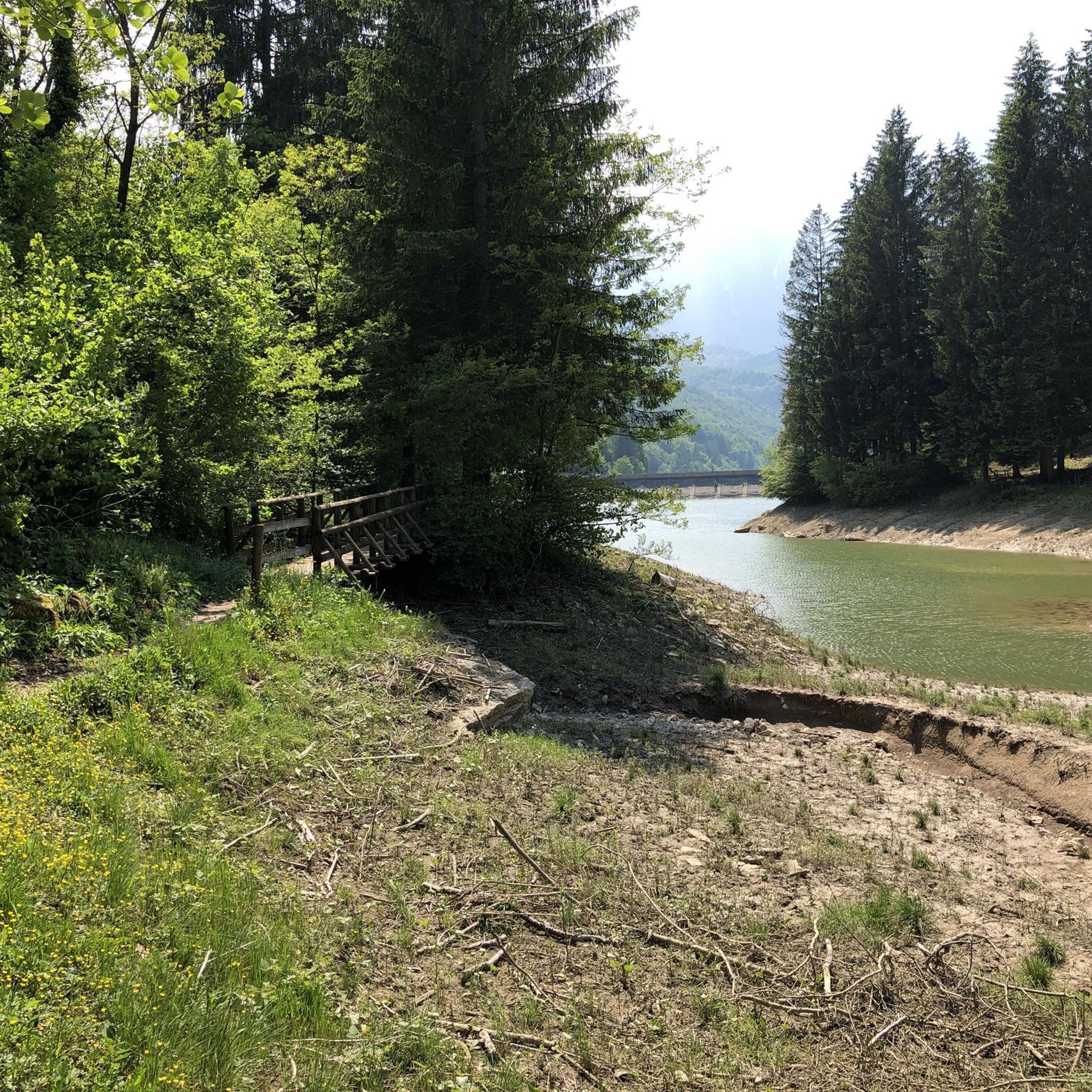
Pedestrian traffic bridge
0
0

Casera La Pala, 1203 meters. Along with Casera Montelonga, they offer the perfect opportunity for backpacking and hiking or mountain biking.
1
0
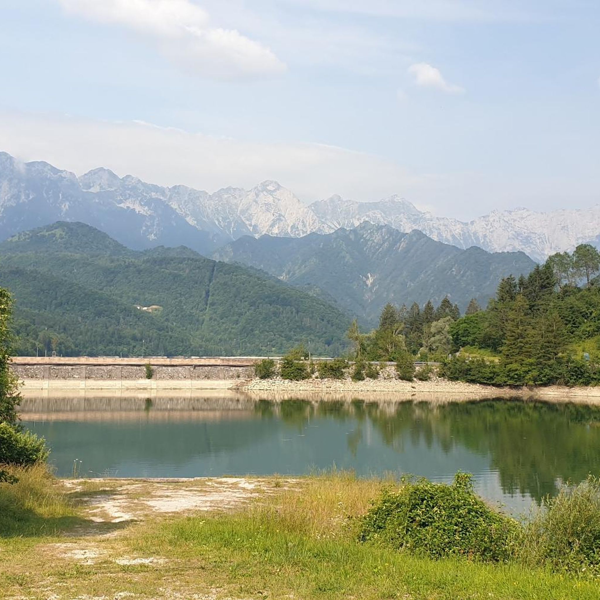
The eastern edge of Lake Barcis is very suggestive.
0
0

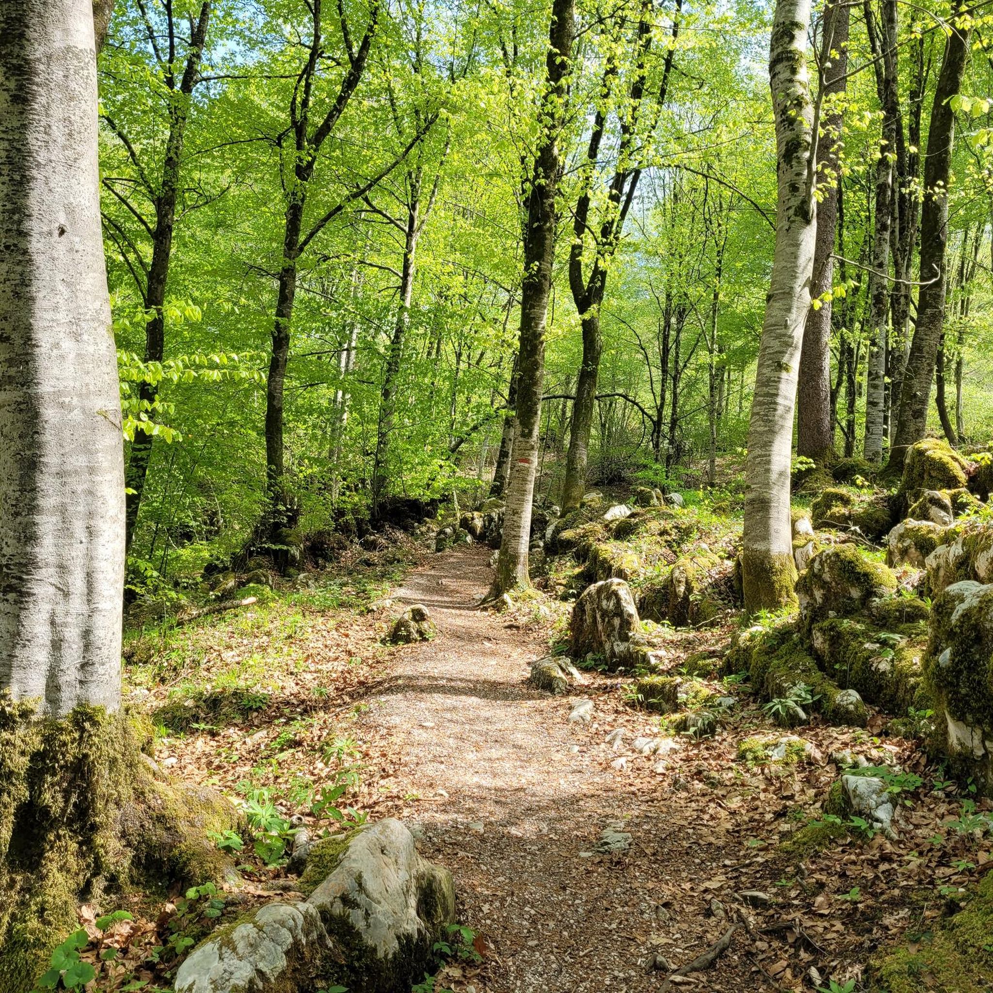
Casera La Pala. This bivouac, nestled in the Montelonga forest, doesn't offer any spectacular views, but its silence and natural surroundings rejuvenate all who visit.
0
0

Beautiful passage on the lake!!!
0
0

Looking for the Montelonga mountain hut that for the umpteenth time I didn't find. Don't follow this trail unless you want to take a difficult path on foot and carry your bike for about 30 minutes. For the rest, the forest road is wonderful, all under the trees with concrete ramps of over 25%. For the record, we saw foxes, owls and roe deers up close.
0
0

Frequently Asked Questions
How many hiking trails are available in Riserva Naturale Regionale Della Forra Del Cellina?
The Riserva Naturale Regionale Della Forra Del Cellina offers a diverse network of over 14 hiking trails. These routes cater to various skill levels, including 8 easy, 2 moderate, and 4 difficult options, ensuring there's a suitable path for every hiker.
What makes the landscape of Riserva Naturale Regionale Della Forra Del Cellina unique for hiking?
The reserve is renowned for its spectacular canyon landscape, featuring impressive vertical walls up to 500 meters high, carved by the Cellina stream. Hikers will encounter a system of converging gorges, striking evidence of water erosion like potholes and polished rocks, and widespread karst phenomena such as sinkholes and limestone pavements. The crystal-clear, often emerald-colored waters of the Cellina stream add to the picturesque scenery.
Are there any easy or family-friendly hiking options in the reserve?
Yes, the reserve offers several easy and family-friendly options. The Sentiero del Dint, accessible from the Barcis Visitor Center, is an easy path with minimal elevation changes, suitable for all skill levels, including families with children. It features educational panels describing the area's environment and geology. Another accessible option is the Lake Barcis – Lake Barcis loop from Lago di Barcis, an easy 3.5 km trail along the lake shore.
Can I find challenging hikes in Riserva Naturale Regionale Della Forra Del Cellina?
Absolutely. For those seeking a challenge, the reserve has 4 difficult routes. An example is the Monte Fara Summit – Monte Fara summit (1,342 m) loop from Andreis, which is an 8.4 km route with significant elevation gain, offering rewarding views from the summit.
What kind of natural landmarks or viewpoints can I expect to see while hiking?
Hikers can discover numerous natural landmarks and breathtaking viewpoints. The historic Old Valcellina Road offers unique perspectives into the canyon. Along the Sentiero del Dint, you'll find several stunning overlooks, including the First Viewpoint (Skywalk del Dint) and the Second viewpoint. Don't miss the Third Viewpoint and Spiral Staircase for a dramatic vista into the gorge.
Are there any circular hiking routes in the area?
Yes, the region offers several circular routes for varied experiences. Beyond the popular ones, you can explore the Lake Barcis – Lake Barcis loop from Barcis / Barce, a challenging 15.5 km trail that circles the lake and ascends into the surrounding hills, providing extensive views.
What do other hikers enjoy the most about hiking in Riserva Naturale Regionale Della Forra Del Cellina?
The area is highly rated by the komoot community, with an average score of 4.6 stars from over 1100 reviews. Reviewers often praise the spectacular canyon scenery, the unique geological formations, and the clear, emerald waters of the Cellina stream. Many appreciate the variety of trails catering to different abilities and the well-preserved natural environment.
Is Riserva Naturale Regionale Della Forra Del Cellina suitable for dog owners?
While specific regulations for dogs can vary, generally, dogs are permitted on trails in natural parks if kept on a leash. The less crowded paths and open spaces within the reserve can be enjoyable for dogs. However, always check local signage and be mindful of wildlife and other hikers. It's advisable to bring water for your dog, especially on longer routes.
What is the best time of year to go hiking in Riserva Naturale Regionale Della Forra Del Cellina?
The best time for hiking in Riserva Naturale Regionale Della Forra Del Cellina is typically from spring to autumn. During these seasons, the weather is generally mild, and the trails are most accessible. Spring brings lush greenery and blooming flora, while autumn offers vibrant fall colors. Summer is also popular, but it can be warmer, so early morning or late afternoon hikes are recommended.
Are there any facilities or visitor centers in the reserve?
Yes, the Visitor Center in Barcis (Ponte Antoi) serves as a primary gateway to the reserve. It provides access to key trails like the Old Valcellina Road and the Sentiero del Dint, and offers services for visitors, making it a good starting point for your exploration.
What kind of unique flora can be observed in the reserve?
Due to its particular microclimatic conditions and diverse soil types, the reserve supports unique and sometimes rare botanical species. Hikers might spot rhododendron bushes in colder areas, extensive beech forests on calcareous soils at higher elevations, and specific glareicolous flora like crested geranium and yellow saxifrage on scree slopes.
Is there a suspension bridge in the reserve, and what does it offer?
Yes, the reserve features a 55-meter Tibetan Bridge. This suspension bridge provides a breathtaking and safe experience, offering spectacular views deep into the ravine and of the emerald waters of the Cellina stream flowing far below.
Most popular routes in Riserva Naturale Regionale Della Forra Del Cellina
Most popular attractions in Riserva Naturale Regionale Della Forra Del Cellina

Get inspired with the komoot mobile app


Explore more
Browse the best Hikes in other regions.
