The best running trails in Riserva Naturale Regionale Della Val Alba
4.7
(7)
554
runners
45
runs
Jogging in Riserva Naturale Regionale Della Val Alba offers routes through a landscape characterized by significant elevation changes, dense woodlands, and mountainous terrain. The region features challenging trails with substantial ascents and descents, providing a demanding experience for runners. The trails often lead through remote areas, showcasing the natural environment of Val Alba.
Best jogging routes in Riserva Naturale Regionale Della Val Alba
- The most popular jogging route is Monte Chiavals Loop via Bivacco Bianchi, a 6.9 miles (11.1…
Last updated: August 31, 2026
5.0
(1)
5
runners
11.1km
02:55
1,020m
1,020m
Prepare for a challenging jogging experience on the Monte Chiavals Loop via Bivacco Bianchi. This difficult route spans 6.9 miles (11.1 km) and demands a significant 3353 feet (1022 metres)…
5.0
(1)
16
runners
Hard run. Very good fitness required. Sure-footedness, sturdy shoes and alpine experience required.

Sign up for free
6
runners
Hard run. Very good fitness required. Sure-footedness, sturdy shoes and alpine experience required.
32
runners
23.3km
03:10
750m
750m
Hard run. Very good fitness required. Sure-footedness, sturdy shoes and alpine experience required.
3
runners
7.54km
01:18
350m
350m
Hard run. Very good fitness required. Sure-footedness, sturdy shoes and alpine experience required.
Get access to more routes and recommendations from other explorers.
Sign up for free
Already have an account?
Our route recommendations are based on thousands of hikes, rides, and runs completed by other people on komoot.
Start today with a free account
Your next adventure awaits.
Login or Signup
Popular around Riserva Naturale Regionale Della Val Alba

Tips from the Community

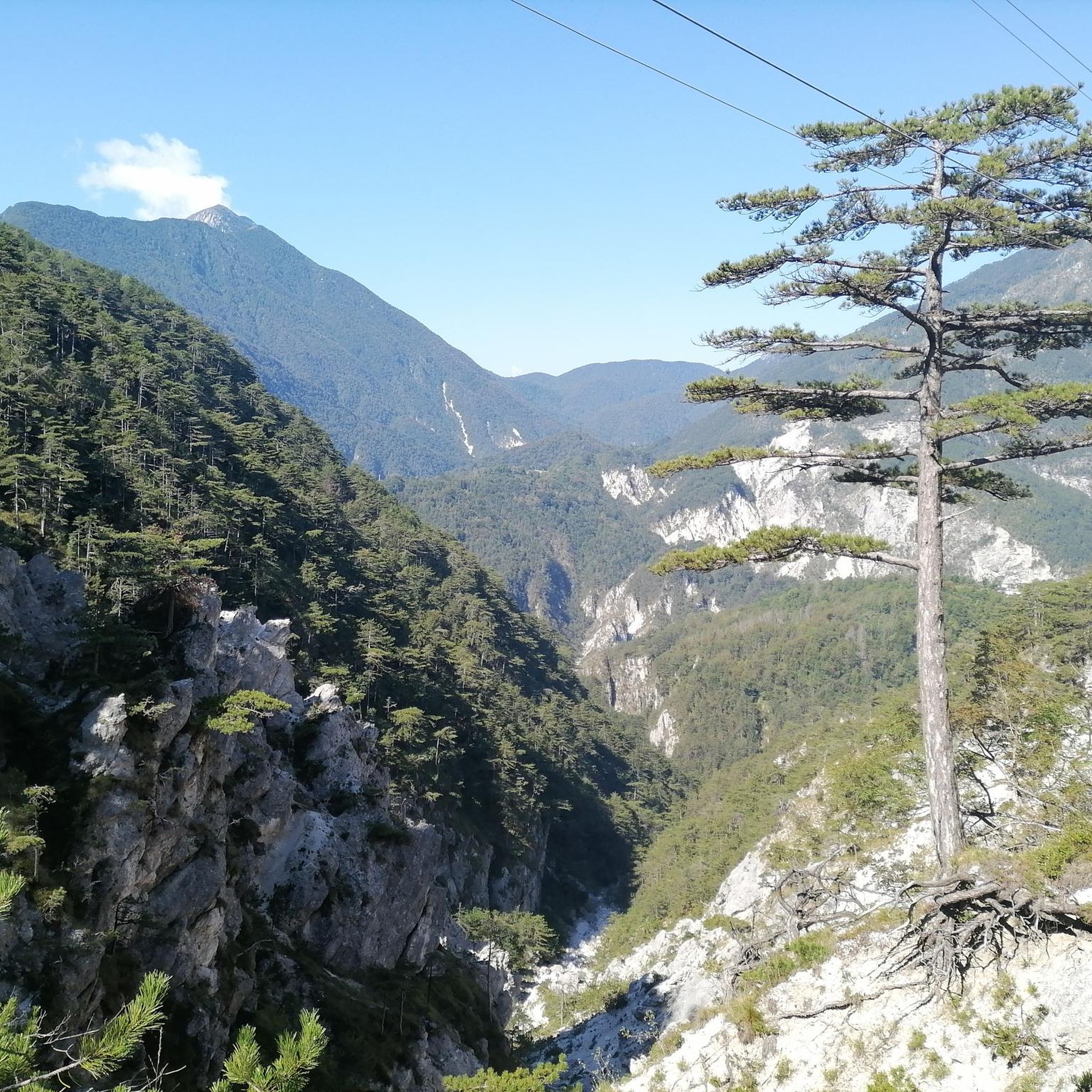
At this position, there are beautiful views of the Resia river and beautiful panoramic and distant views into the Resia valley.
0
0
As of 27.7.2026: the bridge is closed and being renovated. A detour crossing the Resia via a ford has been set up.
0
0

Rifugio Vualt. Excellently renovated bivouac with a stove, running water from the external fountain, large table with chairs, and a well-stocked pantry with pots and cutlery. Upstairs, 7 sleeping places with mattresses.
0
0

the view down is open, then you go straight into the tunnel
1
0
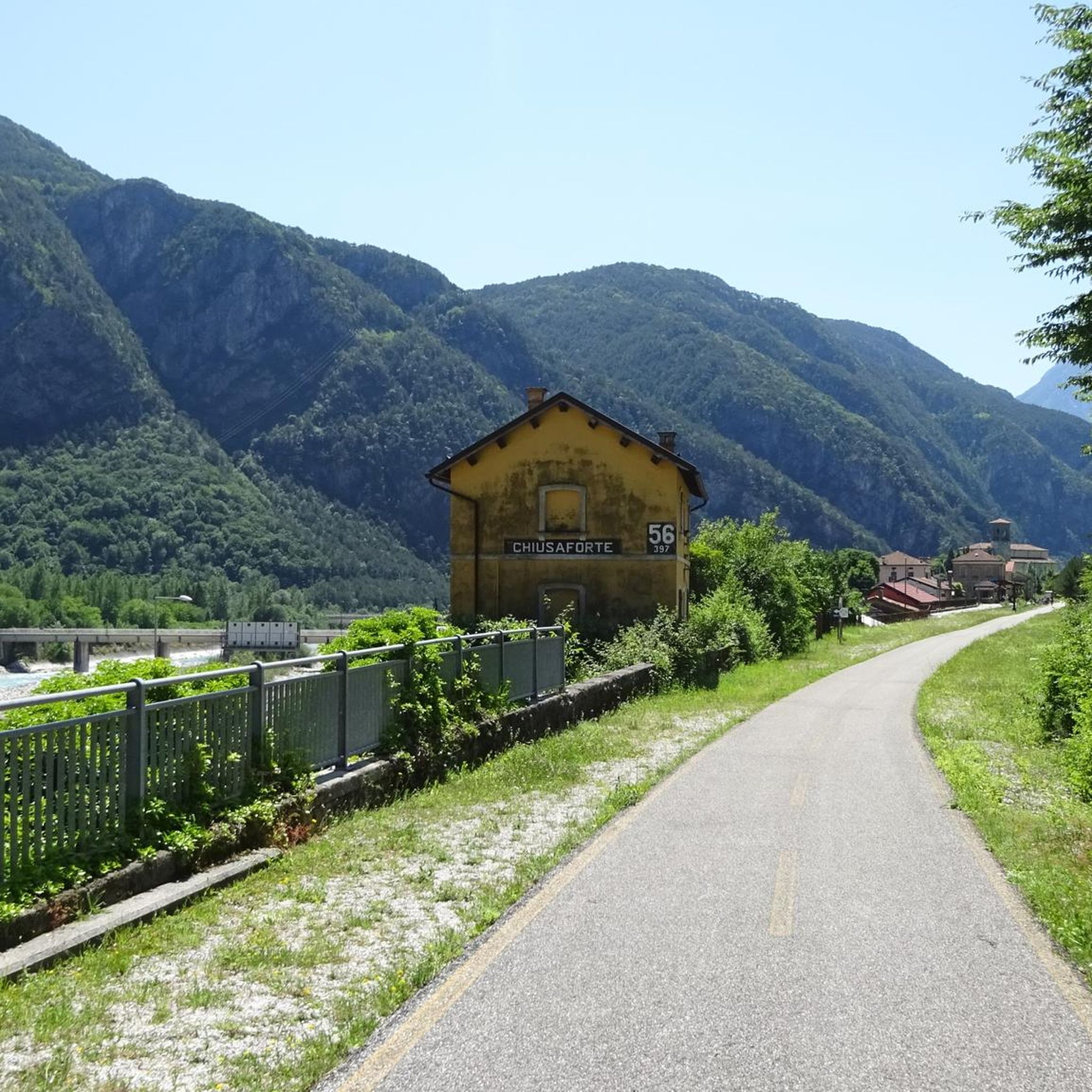
A noteworthy end and beginning of the new cycle path. A typical bridge, like those often built in Italy in the past to cross streams and rivers. It's fantastic how it's been incorporated into the cycle path. This part of the Torrente Resia is often used as a swimming spot in the summer.
0
0
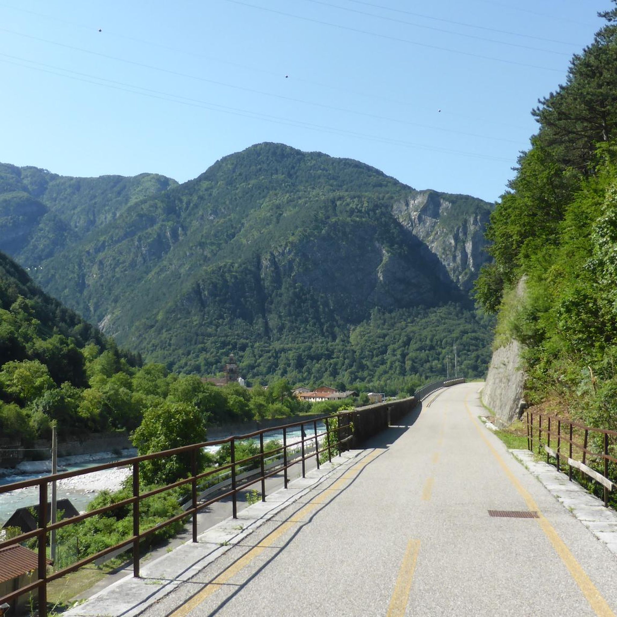
The new cycle path is a pleasant end/beginning with the crossing of the Resia stream. In summer, the Resia stream is a popular swimming spot at this point.
0
0
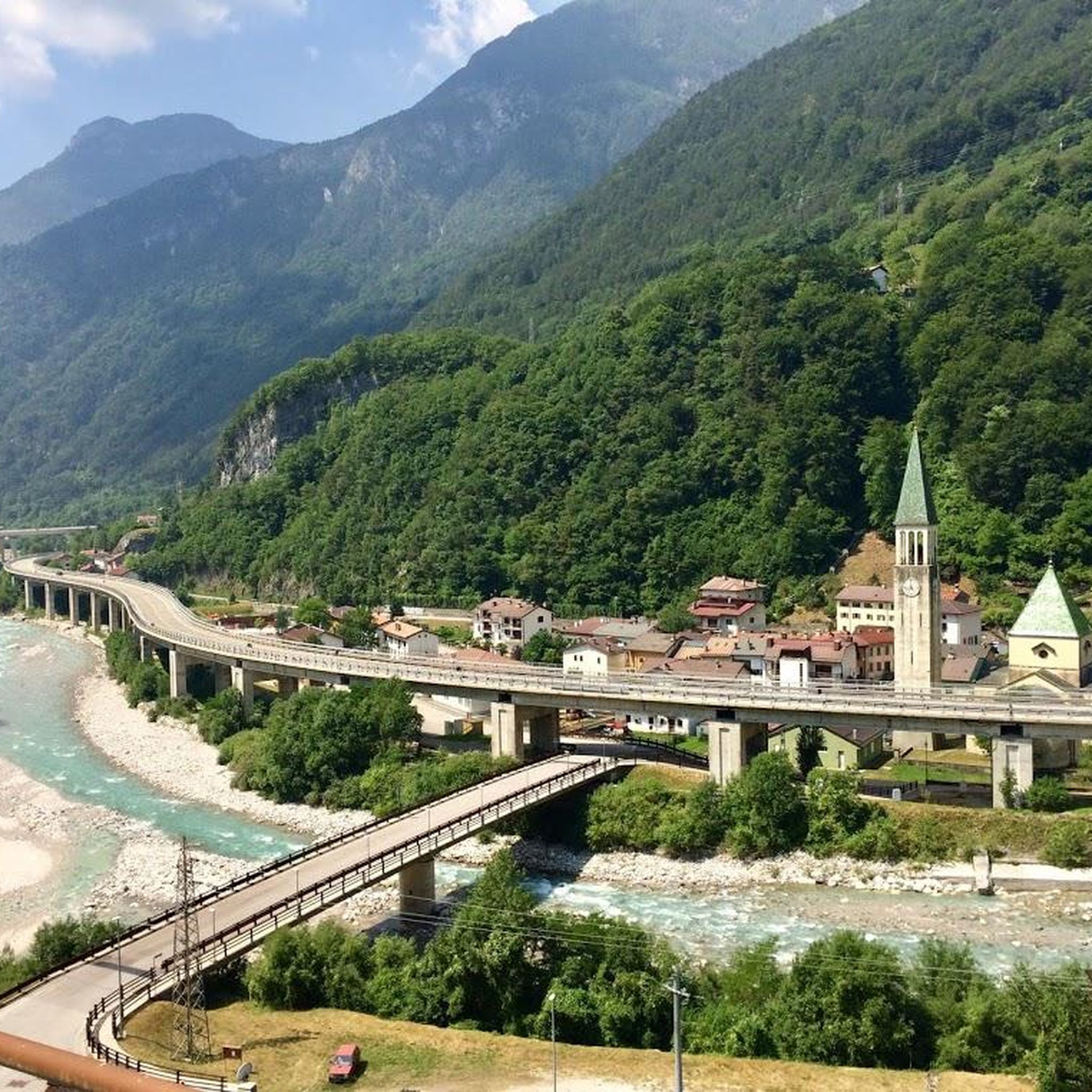
A very pleasant village with a good location near the cycle path, Viale Udine, and the A23 motorway. At the entrance to the village, there are several restaurants and a top-notch ice cream parlor, which, in my opinion, offers the best ice cream quality in Friuli. There are also plenty of parking spaces at the entrance, as well as a very cooling pool. Resiutta itself is a typical Italian village with important restaurants and service providers. For those interested in culture, a walk across Calvary Hill or a visit to the ice tunnel is recommended.
2
0
On the Sella Sagata, you'll first be greeted by a chapel, next to which is a war memorial and a watering hole. From there, it's a short climb to Baita Sagata. Overall, a truly beautiful event area has been created at the very wide saddle. A worthwhile spot for a rest.
0
0
Frequently Asked Questions
What is the general difficulty level of running trails in Riserva Naturale Regionale Della Val Alba?
The running trails in Riserva Naturale Regionale Della Val Alba are primarily challenging, characterized by significant elevation changes and mountainous terrain. Out of 28 available routes, 25 are rated as difficult, with only 3 considered moderate. This region is best suited for experienced runners seeking demanding paths.
Are there any easy or beginner-friendly jogging routes in Riserva Naturale Regionale Della Val Alba?
Riserva Naturale Regionale Della Val Alba is known for its challenging mountain paths. According to our data, there are no routes specifically classified as 'easy'. The majority of trails are difficult, making the area more suitable for experienced runners.
Can I find circular running routes in Val Alba?
Yes, several running routes in Val Alba are circular. For example, the Monte Chiavals Loop via Bivacco Bianchi is a popular circular trail covering 6.9 miles (11.1 km) with over 3,300 feet (1,000 m) of elevation gain.
What kind of terrain can I expect on the jogging routes in Riserva Naturale Regionale Della Val Alba?
Runners in Riserva Naturale Regionale Della Val Alba can expect varied mountain terrain, dense forest sections, and substantial elevation changes. The paths often lead through remote areas, providing a demanding experience amidst the natural environment.
Are there any historical landmarks or points of interest along the running trails?
Yes, the region features several historical points of interest. You can explore sites like the Cjasut dal Scior (World War I Alpine Outpost) or the Ex Military Hospital of Val Alba. Some routes, like the Old Military Hospital Ruins – Cys–Volt Trail, Dordolla loop from Natura 2000 - Zuc dal Bor, pass directly by these historical sites.
What is the best time of year for running in Riserva Naturale Regionale Della Val Alba?
Given the mountainous and often remote nature of Riserva Naturale Regionale Della Val Alba, late spring to early autumn (May to October) is generally the most favorable period for running. During these months, trails are typically free of snow, and weather conditions are more stable. Winter running can be challenging due to snow and ice.
Are dogs allowed on the running trails in Riserva Naturale Regionale Della Val Alba?
As a nature reserve, specific rules regarding dogs may apply to protect wildlife and the environment. While many trails in Italy allow dogs on a leash, it's always best to check local regulations for Riserva Naturale Regionale Della Val Alba before heading out with your canine companion.
Where can I find parking for the jogging routes in Val Alba?
Specific parking information varies by trailhead. Many routes, such as those starting from 'Natura 2000 - Zuc dal Bor', typically have designated parking areas nearby. It's advisable to check the individual route details on komoot for precise starting points and parking suggestions.
What are some of the longer running routes available in the region?
For a longer challenge, consider the Old Military Hospital Ruins – Cys–Volt Trail, Dordolla loop from Natura 2000 - Zuc dal Bor. This difficult path spans 11.5 miles (18.6 km) and involves significant climbs, making it a substantial undertaking for experienced runners.
Are there any huts or refuges along the running trails in Val Alba?
Yes, there are huts and refuges in the area that can serve as points of interest or rest stops. Notable ones include Rifugio Vualt and Cjasùt dal Sciôr. Some routes, like the Monte Chiavals Loop via Bivacco Bianchi, even pass by bivouacs like Bivacco Bianchi.
What do other runners say about the trails in Riserva Naturale Regionale Della Val Alba?
The running trails in Riserva Naturale Regionale Della Val Alba are highly rated by the komoot community, with an average score of 4.6 stars from 7 reviews. Nearly 300 runners have used komoot to explore the varied and challenging terrain, often praising the natural beauty and demanding nature of the routes.
How many running routes are available in Riserva Naturale Regionale Della Val Alba?
There are 28 running routes available in Riserva Naturale Regionale Della Val Alba, offering a variety of options primarily for experienced runners seeking challenging mountain trails.
Most popular routes in Riserva Naturale Regionale Della Val Alba
Most popular attractions in Riserva Naturale Regionale Della Val Alba

Get inspired with the komoot mobile app


Explore more
Browse the best Running Trails & Routes in other regions.
