The best walks and hikes in Riserva Naturale Del Fondo Toce
4.4
(11663)
50,748
hikers
26
hikes
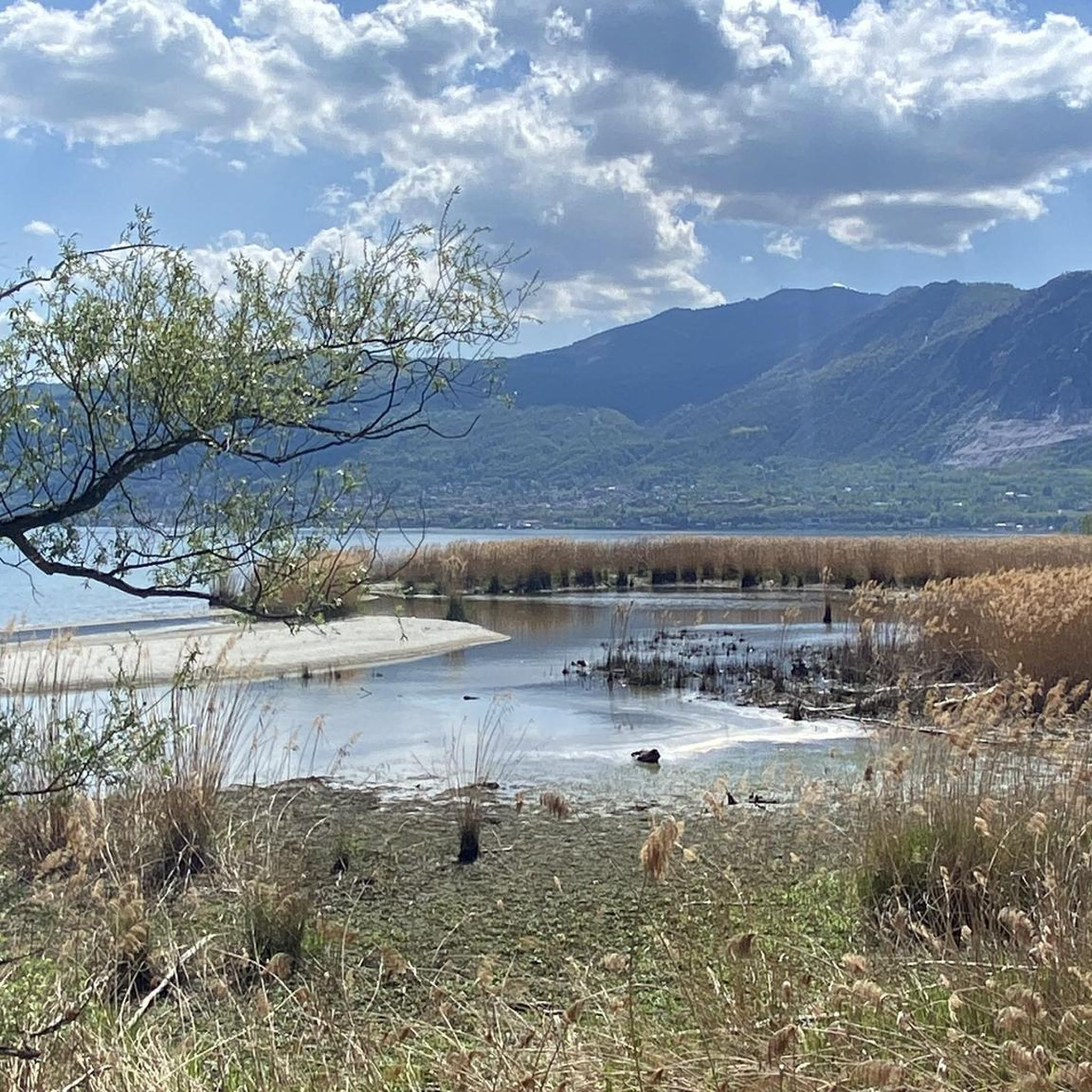
Hiking in Riserva Naturale Del Fondo Toce offers routes through a unique wetland ecosystem where the Toce River flows into Lake Maggiore. The reserve spans approximately 365 hectares, characterized by extensive reed beds, willow thickets, and a rich alluvial plain. This area is a biodiversity hotspot, featuring diverse flora and over 130 bird species. Trails provide access to these natural features, including a floating walkway that allows closer observation of the wetlands.
Best hiking trails in Riserva Naturale Del Fondo…
Last updated: September 1, 2026
4.5
(754)
2,448
hikers
Moderate hike. Good fitness required. Easily-accessible paths. Suitable for all skill levels.
4.3
(39)
204
hikers
Easy hike. Great for any fitness level. Easily-accessible paths. Suitable for all skill levels.

Sign up for free
4.1
(32)
192
hikers
Easy hike. Great for any fitness level. Easily-accessible paths. Suitable for all skill levels.
3.8
(28)
108
hikers
Moderate hike. Good fitness required. Easily-accessible paths. Suitable for all skill levels.
4.5
(10)
88
hikers
Hard hike. Very good fitness required. Easily-accessible paths. Suitable for all skill levels.
Get access to more routes and recommendations from other explorers.
Sign up for free
Already have an account?
Our route recommendations are based on thousands of hikes, rides, and runs completed by other people on komoot.
Start today with a free account
Your next adventure awaits.
Login or Signup
Popular around Riserva Naturale Del Fondo Toce
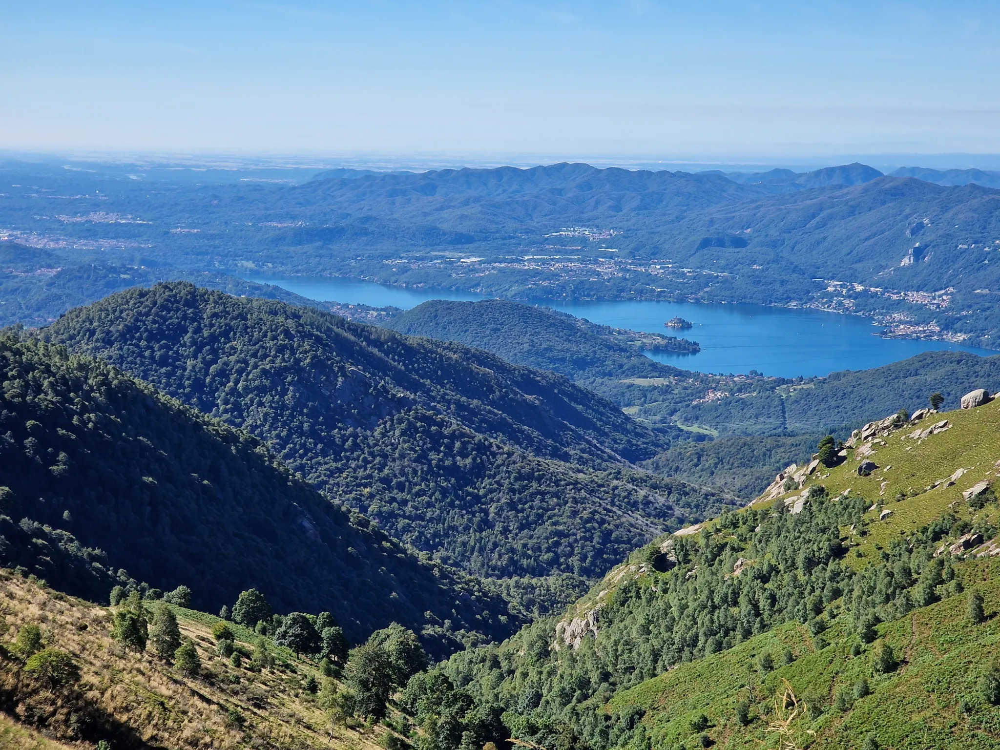
Around Lake Maggiore
Road Cycling Routes in Riserva Naturale Del Fondo Toce
Cycling in Riserva Naturale Del Fondo Toce
Running Trails in Riserva Naturale Del Fondo Toce
MTB Trails in Riserva Naturale Del Fondo Toce

Gravel biking in Riserva Naturale Del Fondo Toce
Mountain Hikes in Riserva Naturale Del Fondo Toce
Other adventures in Riserva Naturale Del Fondo Toce

Tips from the Community

Lago di Mergozzo is a small and clear body of water located in Piedmont, in the province of Verbano-Cusio-Ossola. In the past, it was the westernmost inlet of Lake Maggiore. The floods of the Toce river created a strip of land that separated the two lakes. It is one of the cleanest lakes in Italy and Europe. On the lake, the use of motorboats is absolutely forbidden to preserve the ecosystem.
0
0

And above all, the Basilica di San Vittore is also located here. It's not just any church. The Basilica di San Vittore is truly one of the most significant religious sites on the entire Lake Maggiore. The religious building owes this reputation primarily to its location. The hill on which the magnificent building stands served as a Roman refuge centuries ago. A historical document from 1031 provides evidence of this.
2
0
Very beautiful waterfall along the way.
2
0
Yes, we also had easy access to the campsite, but unfortunately, we had to take a detour through the main entrance to get out. We only wanted to hike along the lake.
2
0
Mergozzo has retained its medieval character. Once known for its location on the old trade route from Italy over the Simplon Pass (Sempione) into Valais, the town feels as if time has stood still, with its narrow, pedestrian streets, pretty churches, and modest houses. The small town's lakeside promenade is particularly beautiful and well-maintained, making for a pleasant stroll.
2
0
Intra lies between the San Giovanni and San Bernardino rivers, and Pallanza is on the opposite peninsula. From here, you can enjoy magnificent views of the western shore of Lake Maggiore, including Stresa and the Borromean Islands.
2
0
The town hall of Baveno, Verbania, Piedmont, is located in Piazza Dante Alighieri
1
0

A well-preserved and beautiful town hall
2
0
Frequently Asked Questions
How many hiking trails are available in Riserva Naturale Del Fondo Toce?
There are over 20 hiking trails in Riserva Naturale Del Fondo Toce, offering a variety of experiences. These include 9 easy routes, 9 moderate paths, and 6 more challenging options.
What kind of terrain can I expect when hiking in Riserva Naturale Del Fondo Toce?
The reserve is characterized by its unique wetland ecosystem, featuring extensive reed beds, willow thickets, and a rich alluvial plain where the Toce River meets Lake Maggiore. You'll find mostly flat, accessible paths, including a notable floating walkway that allows you to explore the more secluded parts of the wetlands.
Are there easy hiking options suitable for beginners or families?
Yes, Riserva Naturale Del Fondo Toce is ideal for families and beginners, with many accessible and easy trails. A popular choice is the Fattoria Incr. – Lago Maggiore Beach loop, an easy 5.8 km path offering views of Lake Maggiore and the characteristic wetland environment.
Can I bring my dog on the hiking trails in Riserva Naturale Del Fondo Toce?
While the reserve is a natural habitat, many trails are suitable for dogs, provided they are kept on a leash to protect the local wildlife and ensure a pleasant experience for all visitors. Always check specific trail regulations before heading out.
What kind of wildlife can I expect to see in Riserva Naturale Del Fondo Toce?
The reserve is a biodiversity hotspot, especially renowned for its ornithological interest with over 130 bird species. You might spot mallards, grebes, common kingfishers, mute swans, and goosanders. It's also home to various fish, reptiles like marsh turtles, amphibians, and mammals such as foxes and badgers.
Are there any circular hiking routes in the reserve?
Yes, many routes in Riserva Naturale Del Fondo Toce are designed as loops. For example, the Lake Mergozzo – Historic center of Mergozzo loop offers a moderate 10.8 km path combining lakeside scenery with village exploration.
What are some interesting landmarks or natural features to look out for?
Beyond the wetlands, you can explore the confluence of the Toce River and Lake Maggiore. There are also several bridges and cycle paths that offer scenic views. Consider visiting the Bridge over the canal between Lake Mergozzo and Lake Maggiore or the Toce Bridge. The reserve also features a unique floating walkway, approximately one hour long, providing access to secluded areas for wildlife observation.
What is the best time of year to visit Riserva Naturale Del Fondo Toce for hiking?
The reserve is beautiful year-round, but spring and autumn are particularly pleasant for hiking, offering mild temperatures and excellent opportunities for birdwatching during migration seasons. Summer can be warm, but the flat terrain and proximity to water make it enjoyable, especially in the mornings or late afternoons.
Is public transport available to access the hiking trails?
Yes, the area is accessible by public transport. A cycle-pedestrian path runs from Baveno to Feriolo, leading directly to the reserve, which can be used by walkers as well. Local bus services also connect nearby towns to the reserve's vicinity.
What do other hikers enjoy most about hiking in Riserva Naturale Del Fondo Toce?
The area is highly rated by the komoot community, with an average score of 4.4 stars from over 3,100 reviews. Hikers often praise the tranquil wetland environment, the rich biodiversity, and the accessible, well-maintained paths that make it suitable for all ages and abilities. The scenic views where the Toce River meets Lake Maggiore are also frequently highlighted.
Are there any longer or more challenging hikes in the area?
For those seeking a longer challenge, the Mergozzo Village – Lake Mergozzo loop is a difficult 16.2 km trail that takes about 5 hours 22 minutes to complete, leading through varied terrain around Lake Mergozzo. Another difficult option is the View of Lake Mergozzo – Mont'Orfano loop, a 14 km route with significant elevation gain.
Most popular routes in Riserva Naturale Del Fondo Toce
Most popular attractions in Riserva Naturale Del Fondo Toce

Get inspired with the komoot mobile app


Explore more
Browse the best Hikes in other regions.
