The best walks and hikes in Senseschlucht
4.6
(3224)
22,198
hikers
648
hikes
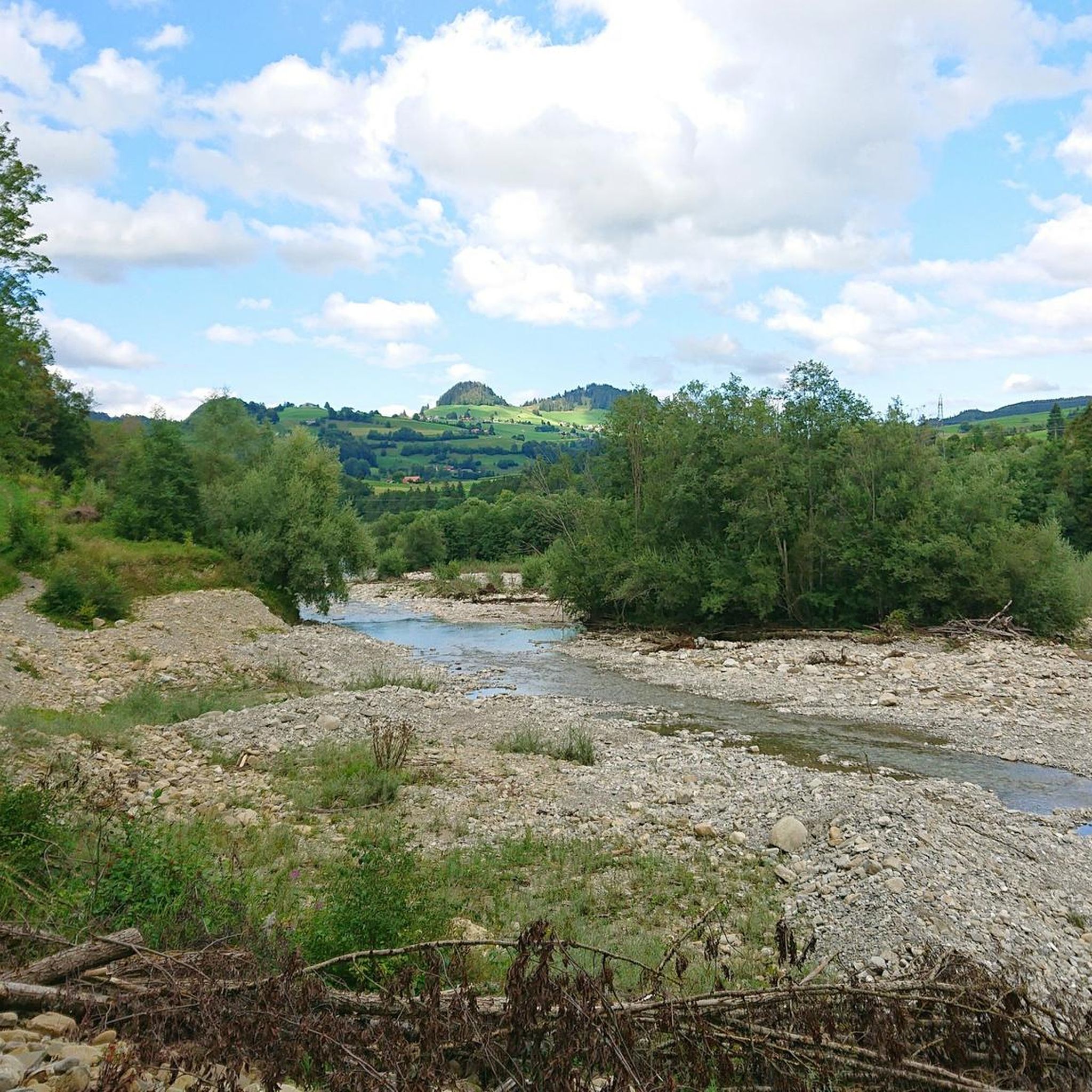
Hiking trails in Senseschlucht navigate a landscape shaped by the Sense and Schwarzwasser rivers, which have carved impressive gorges through sandstone. These gorges feature steep sandstone cliffs and natural river courses, complemented by alluvial forests and sand banks. The region also encompasses the Schwarzsee, an idyllic lake surrounded by moor and alpine terrain, offering views of peaks like Kaiseregg.
Best hiking trails in Senseschlucht
- The most popular hiking route is Lake Schwarzsee – Black Lake loop from Zollhaus, a…
Last updated: September 30, 2026
4.3
(9)
74
hikers
16.2km
04:22
210m
210m
Moderate hike. Good fitness required. Easily-accessible paths. Suitable for all skill levels.
4.3
(9)
79
hikers
12.2km
03:19
180m
180m
Moderate hike. Good fitness required. Easily-accessible paths. Suitable for all skill levels.

4.9
(7)
42
hikers
15.5km
05:18
790m
790m
Hard hike. Very good fitness required. Easily-accessible paths. Suitable for all skill levels.
4.0
(6)
20
hikers
Easy hike. Great for any fitness level. Easily-accessible paths. Suitable for all skill levels.
4.3
(3)
28
hikers
4.72km
01:26
160m
160m
Easy hike. Great for any fitness level. Easily-accessible paths. Suitable for all skill levels.
Get access to more routes and recommendations from other explorers.
Already have an account?
Our route recommendations are based on thousands of hikes, rides, and runs completed by other people on komoot.
Start today with a free account
Your next adventure awaits.
Tips from the Community

The Schwarzsee circular path is a leisurely, approximately 4 km loop around the idyllic Schwarzsee in the Fribourg Prealps. With around 50 meters of elevation gain, the route is easy and well-suited for a relaxed walk – also for families. The two sides of the lake are slightly different in terms of landscape: on the road side, there are few direct views of the lake due to the dense reeds. The opposite side, on the other hand, leads through a beautiful forest that offers pleasant shade on warm days. Along the circular path, there are benches for resting and portable toilets. In several places, there is the opportunity to swim directly in the Schwarzsee, so the loop can be easily combined with a swimming break. A special highlight is the Schwarzsee dragon, which is part of the Häxewääg. With the press of a button, the dragon can be activated – it hisses, growls, and spits water. The station simultaneously tells part of the legend surrounding the creation of the Schwarzsee. The Schwarzsee is located at around 1050 m above sea level and is surrounded by the Fribourg Prealps and a beautiful mountain landscape. Distance: approx. 4 km Elevation gain: approx. 50 m Difficulty: easy Suitable for: Walk, family outing, swimming trip Special features: Benches, toilets, swimming spots, forest sections, and the Schwarzsee dragon
0
0

Not even that difficult to climb up, and what a view!
0
0


A leisurely, approximately 4km circular trail leads around the picturesque Schwarzsee lake – ideal for families, connoisseurs, and nature lovers. 🔹 Duration: approx. 1–1.5 hours 🔹 Elevation gain: barely noticeable, flat, and stroller-friendly 🔹 Highlights: Themed trail with legendary figures, playgrounds, barbecue areas, and a panoramic lake view 🔹 Tip: A short detour to the waterfall on the southeast shore is worthwhile! Perfect for a relaxing day trip – with a view of the Kaiseregg and surrounded by the mystical atmosphere of the Alpine foothills. 🌿🦢🪵
0
0
The Schwarzsee, also known as Lac Noir, is idyllically situated in the canton of Fribourg (Sense district) and is part of the Gantrisch Nature Park. With its deep, dark water and surrounding peaks such as Kaiseregg (2185 m), Schafberg, and Spitzfluh, the lake offers a fascinating panorama. 🌅 Highlights & Activities Surroundings & Nature: The moorland and alpine pastures surrounding the lake are rich in species – with cotton grass, reeds, coots, and dragonflies – ideal for walks and nature observation. Leisure & Recreation: The Schwarzsee is ideal for hiking, swimming, paddling (SUP), or simply lounging on the shore. Accessible for hikes or conveniently by chairlift to Riggisalp – with alpine huts and restaurants. Legends & Experiences: Themed trails with legends from the Sense region, mystical landscapes in the Breccaschlund valley, and spectacular ice palaces in winter attract visitors year-round.
0
0

The path can be very slippery in bad weather (rain), as is often the case with this type of path.
1
0

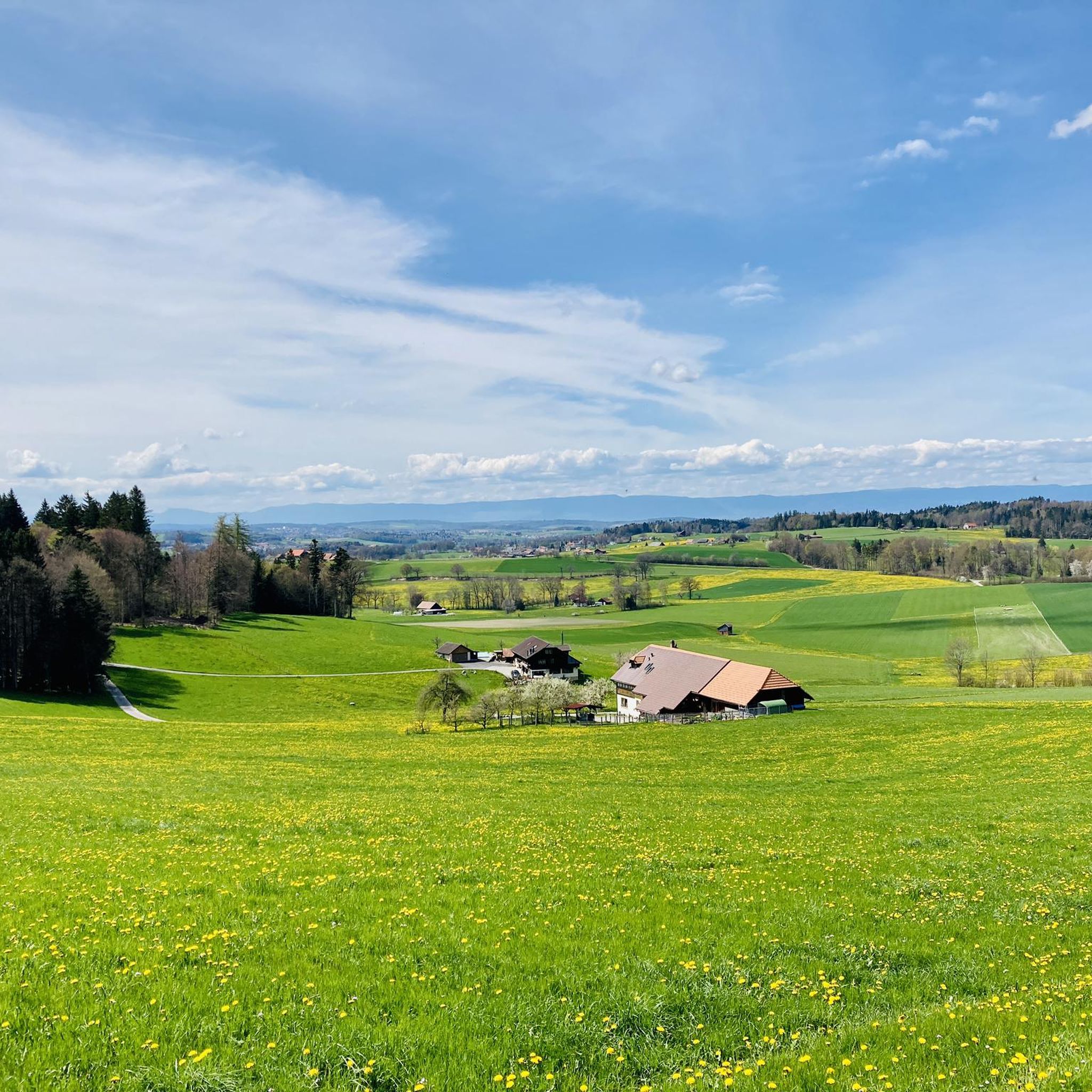
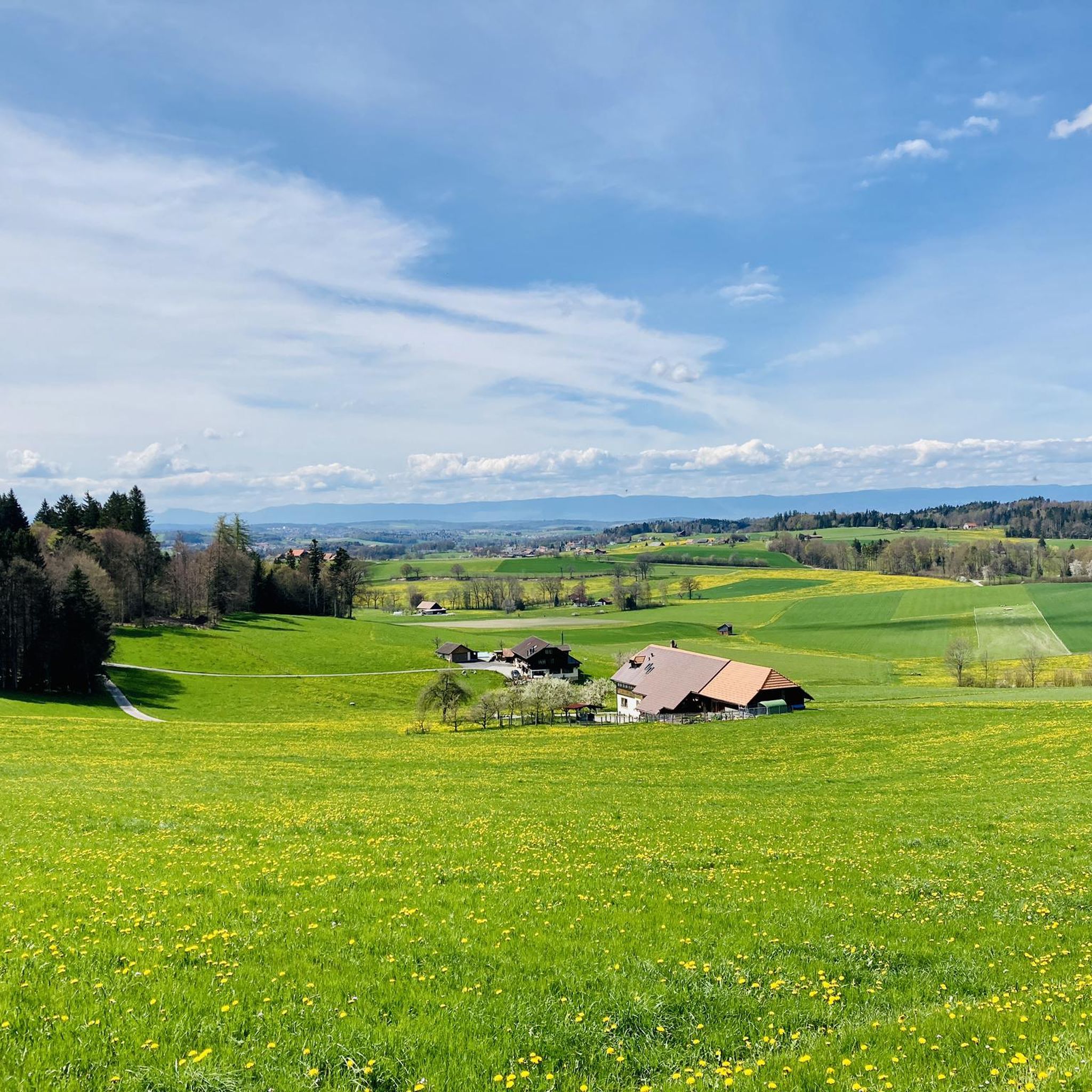
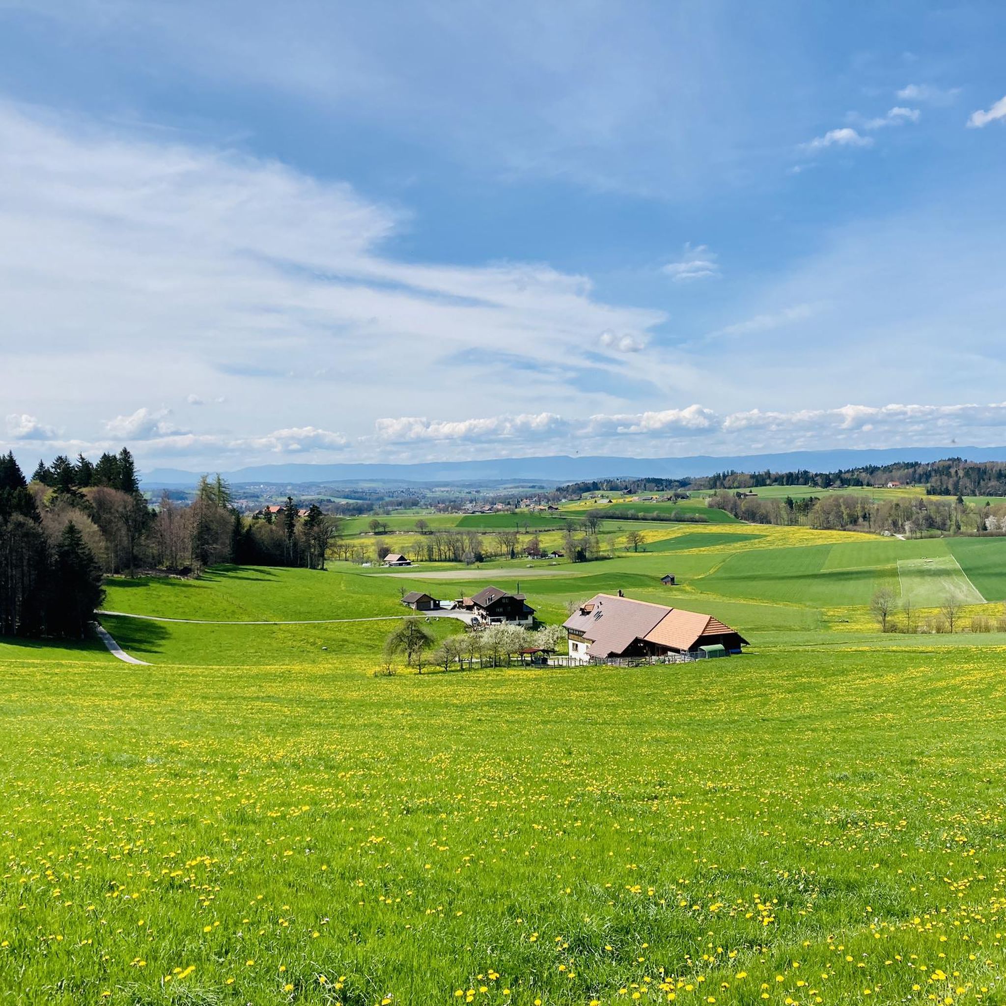
Amazing view over the Mittelland
0
0
Frequently Asked Questions
How many hiking trails are available in Senseschlucht?
Senseschlucht offers a wide variety of hiking opportunities, with over 600 routes available. These trails cater to different fitness levels, from easy walks to more challenging excursions.
What kind of terrain can I expect on Senseschlucht hiking trails?
The terrain in Senseschlucht is quite diverse. You'll encounter natural river courses, alluvial forests, and impressive sandstone gorges with steep cliffs. Around the Schwarzsee, the landscape shifts to moor and alpine terrain. Some sections, particularly along the river, may even involve navigating narrow, secured sandstone ledges.
Are there any family-friendly hiking options in Senseschlucht?
Yes, Senseschlucht has numerous easy and family-friendly paths. Over 260 routes are classified as easy, making them suitable for families. These trails often follow riverbanks or explore the gentler areas around the Schwarzsee.
What are some notable landmarks or attractions to see along the trails?
Hikers can discover several interesting landmarks. The historic Sodbach Bridge, built of wood in 1867, is a highlight. You can also explore the ruins of Grasburg Castle and Schwarzenburg Castle. The Biber Lake is another scenic spot.
Are there any circular hiking routes in Senseschlucht?
Yes, many routes in Senseschlucht are designed as loops. For example, the Lake Schwarzsee – Black Lake loop from Zollhaus is a popular circular trail exploring the scenic lake. Another option is the Sodbach Bridge – Grasburg Castle Ruins loop from Schwarzenburg, which combines natural beauty with historical sites.
When is the best time of year to go hiking in Senseschlucht?
Hiking in Senseschlucht is particularly enjoyable between March and October. During these months, the weather is generally favorable, allowing you to fully appreciate the blend of forest shade, open views, and river proximity.
Are there any trails with waterfalls in Senseschlucht?
Yes, you can find trails that feature waterfalls. The Trail Along the Sense River – Waterfall Near Füllmattli loop from Plaffeien is an easy route that includes a waterfall near Füllmattli, offering a refreshing natural spectacle.
What do other hikers enjoy most about Senseschlucht?
The Senseschlucht area is highly rated by the komoot community, with an average score of 4.6 stars from over 2700 reviews. Hikers frequently praise the diverse natural landscapes, the dramatic sandstone gorges, and the tranquil beauty of the Schwarzsee. The well-maintained paths and opportunities for bathing and BBQ along the rivers are also often highlighted.
Are there opportunities for wild swimming or bathing along the hiking trails?
Yes, along the riverbanks of the Sense and Schwarzwasser, you'll find numerous sand and gravel banks that are perfect for bathing and enjoying a refreshing break, especially during warmer months.
Can I reach Senseschlucht trailheads using public transport?
While specific public transport details for every trailhead are not provided here, many hiking regions in Switzerland are well-served by public transport. It's advisable to check local bus or train schedules for connections to villages like Zollhaus or Plaffeien, which serve as common starting points for trails in Senseschlucht.
Are there any challenging or advanced hiking routes in Senseschlucht?
Yes, Senseschlucht offers trails for experienced hikers as well. While there are many easy and moderate options, 61 routes are classified as difficult. An example is the View of the Swiss Plateau – Cheese Cave loop from Zollhaus, which covers a significant distance and elevation gain, offering a more strenuous experience.
Are dogs allowed on the hiking trails in Senseschlucht?
Generally, dogs are welcome on hiking trails in Senseschlucht. However, it's always recommended to keep them on a leash, especially in nature reserve areas, near livestock, or on narrow paths where other hikers might be present. Please ensure to clean up after your pet.
Most popular routes in Senseschlucht
Most popular attractions in Senseschlucht

Get inspired with the komoot mobile app


Explore more
Browse the best Hikes in other regions.
