The best cycling routes in Parco Regionale Dell'Alta Valsesia E Alta Val Strona
4.7
(23)
244
riders
12
rides
Touring cycling routes in Parco Regionale Dell'Alta Valsesia E Alta Val Strona navigate a landscape characterized by deep mountain valleys, alpine forests, and the Dora Baltea river system. The region, which includes areas like Alta Valsesia, features significant elevation changes, offering challenging ascents and descents. These routes often connect historic villages and provide scenic viewpoints across the mountainous terrain.
Best touring cycling routes in Parco Regionale Dell'Alta Valsesia E Alta Val Strona
- The most popular touring cycling route is Historic…
Last updated: July 4, 2026
35
riders
53.4km
03:39
910m
910m
Hard bike ride. Very good fitness required. Mostly paved surfaces. Suitable for all skill levels.
5.0
(1)
14
riders
22.6km
01:34
390m
390m
Moderate bike ride. Good fitness required. Mostly paved surfaces. Suitable for all skill levels.

Sign up for free
10
riders
27.2km
02:13
860m
860m
Hard bike ride. Very good fitness required. Mostly paved surfaces. Suitable for all skill levels.
5.0
(2)
29
riders
34.1km
02:37
900m
900m
Hard bike ride. Very good fitness required. Mostly paved surfaces. Suitable for all skill levels.
5.0
(1)
9
riders
33.8km
02:40
980m
980m
Hard bike ride. Very good fitness required. Mostly paved surfaces. Suitable for all skill levels.
Get access to more routes and recommendations from other explorers.
Sign up for free
Already have an account?
Our route recommendations are based on thousands of hikes, rides, and runs completed by other people on komoot.
Start today with a free account
Your next adventure awaits.
Login or Signup
Popular around Parco Regionale Dell'Alta Valsesia E Alta Val Strona

Tips from the Community

The historic center of Varallo, the heart of Valsesia, is a charming medieval village with 18th-century influences, famous for the UNESCO-listed Sacro Monte, the "Gaudenziana Wall" in the church of Santa Maria delle Grazie, and the Palazzo dei Musei.
6
0
The Ponte della Gula, located in Varallo Sesia in the Val Mastallone, is an ancient medieval humpbacked stone structure, suspended about 30-35 meters above the stream.
6
0
The historic center of Varallo, the heart of Valsesia, is a Renaissance and Baroque jewel, known for the Sacro Monte (a UNESCO World Heritage Site) and its elegant streets.
7
0

bridge named after General Antonini over the Mastallone stream
1
1
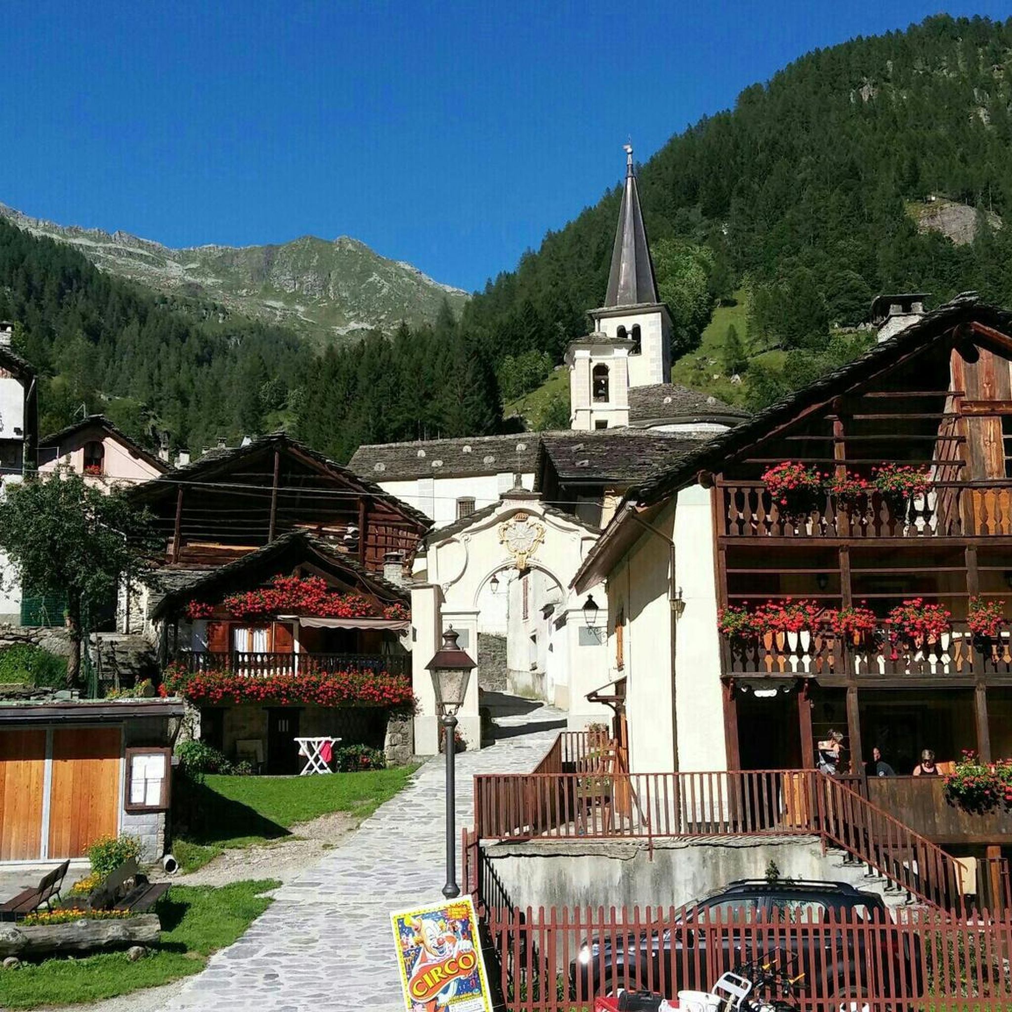
Very beautiful mountain village to visit.
16
0
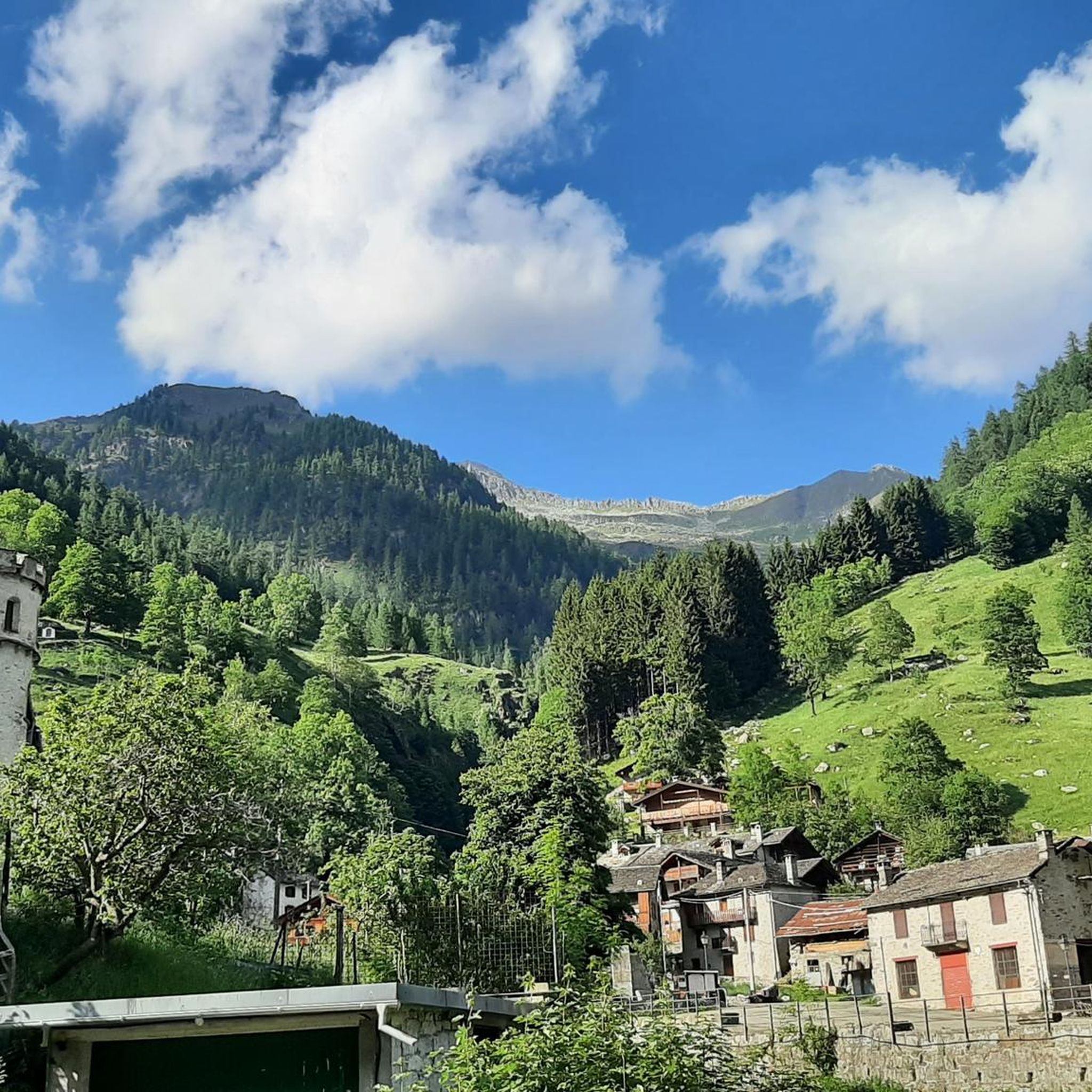
Before arriving in Carcoforo you come across this magnificent mountain village.
17
0
Gorgeous mountain village, the climb to get there is very easy, traffic is practically non-existent.
16
0

Nice street with shops that have a link with art or antiques. Nice to stroll through the street here. Get to know the past in a different way or discover artistic insights from 2.0 artists.
3
0
Frequently Asked Questions
What is the general difficulty level of touring cycling routes in Parco Regionale Dell'Alta Valsesia E Alta Val Strona?
The touring cycling routes in Parco Regionale Dell'Alta Valsesia E Alta Val Strona are primarily suited for moderate to advanced ability levels. The terrain features significant elevation changes, including challenging ascents and descents through deep mountain valleys and alpine forests.
Are there any moderate touring cycling routes available in the region?
Yes, while most routes are difficult, there are a couple of moderate options. For example, the Bassa Valsesia from Nosuggio to Centro Storico Varallo is a moderate 22.6 km route that offers a less strenuous experience while still showcasing the region's beauty.
What kind of scenery can I expect on touring cycling routes in Parco Regionale Dell'Alta Valsesia E Alta Val Strona?
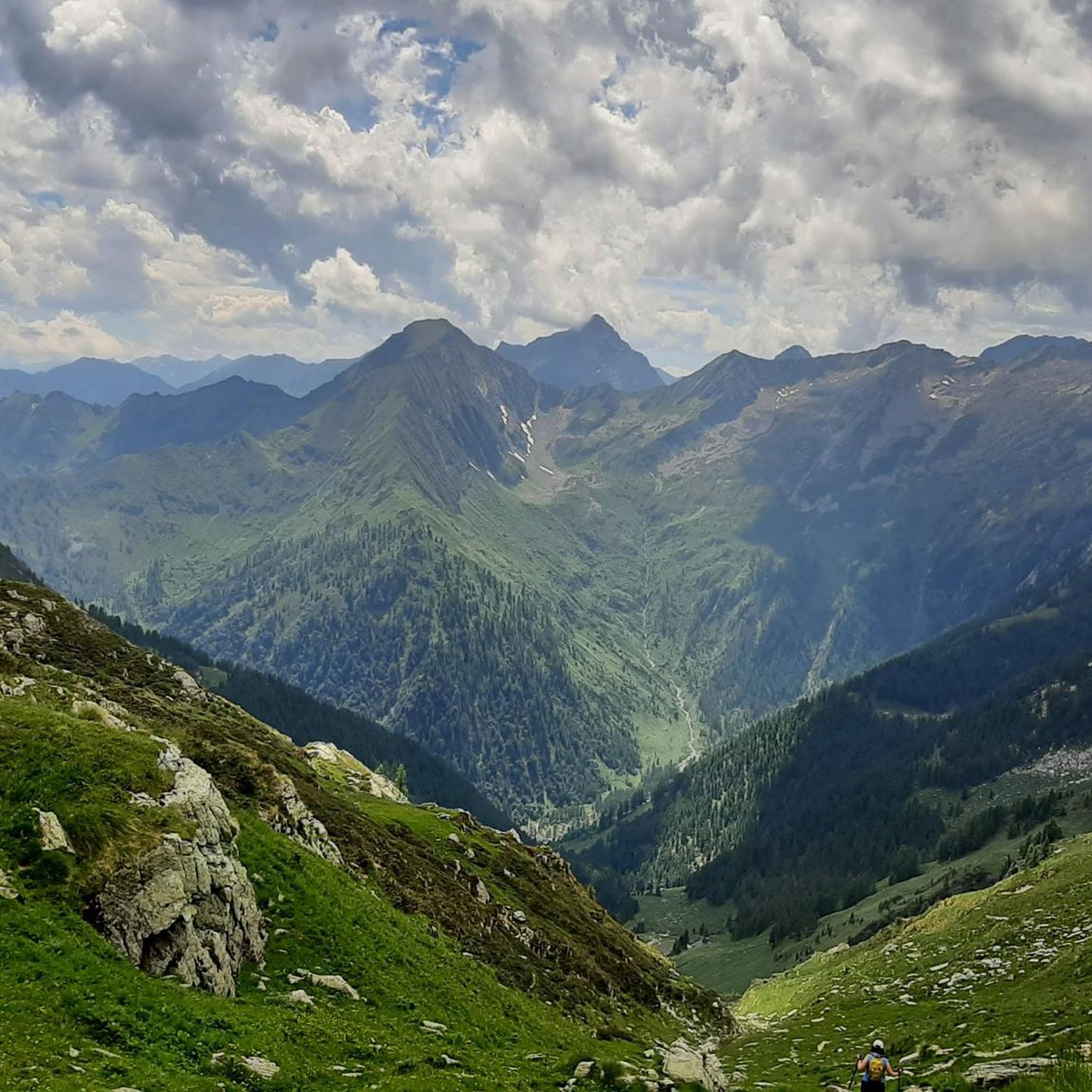
You can expect diverse and dramatic scenery, including deep mountain valleys, dense alpine forests, and views of the Dora Baltea river system. Many routes connect historic villages and offer panoramic viewpoints across the mountainous terrain.
Are there any circular touring cycling routes in Parco Regionale Dell'Alta Valsesia E Alta Val Strona?
Yes, several routes are designed as loops, allowing you to start and finish in the same location. An example is the challenging Rimasco – Rimasco Village and Lake loop from Carcoforo, which covers 27.2 km with substantial elevation changes.
What is the best season for touring cycling in Parco Regionale Dell'Alta Valsesia E Alta Val Strona?
The best season for touring cycling is typically from late spring through early autumn (May to October) when the weather is generally milder and the mountain passes are clear of snow. Summer offers the warmest temperatures, but spring and autumn provide vibrant foliage and cooler conditions.
Are there places to eat or get refreshments along the touring cycling routes?
Many routes pass through or near historic villages such as Varallo, Carcoforo, and Rimasco. These villages often have local cafes, restaurants, or small shops where you can find refreshments and traditional regional cuisine.
How long do touring cycling routes typically take in this region?
Due to the challenging terrain and significant elevation changes, routes can take several hours. For instance, the Val Sermenza Cycle Route to Carcoforo, a 34.1 km difficult trail, typically takes around 2 hours and 37 minutes to complete.
What do other touring cyclists enjoy most about cycling in Parco Regionale Dell'Alta Valsesia E Alta Val Strona?
The area is highly rated by the komoot community, with an average score of 4.6 stars. Reviewers often praise the challenging mountain ascents, the stunning river valleys, and the dense woodlands that define the cycling experience here.
Is public transport available to access touring cycling routes in Alta Val Strona?
Public transport options, such as local bus services, connect some of the main towns and villages within the region. However, access directly to trailheads can be limited, so it's advisable to check local timetables and routes in advance if you plan to rely on public transport.
Where can I find parking for touring cycling routes in Parco Regionale Dell'Alta Valsesia?
Parking is generally available in the larger towns and villages that serve as starting points for many routes, such as Varallo, Carcoforo, and Rimasco. Look for designated parking areas within these communities, though availability may vary, especially during peak season.
Are there any less crowded touring cycling routes in the Alta Val Strona area?
While the region offers a sense of wilderness, to find less crowded routes, consider cycling during the shoulder seasons (late spring or early autumn) or exploring some of the less-trafficked paths that venture deeper into the valleys away from the main villages. Routes leading to smaller hamlets might offer more solitude.
Most popular routes in Parco Regionale Dell'Alta Valsesia E Alta Val Strona

Get inspired with the komoot mobile app


Explore more
Browse the best Cycling routes in other regions.
