Réserve Biologique Dirigée De La Dent Du Villard
Réserve Biologique Dirigée De La Dent Du Villard
The best mountain hikes in Réserve Biologique Dirigée De La Dent Du Villard
5.0
(21)
163
hikers
17
hikes
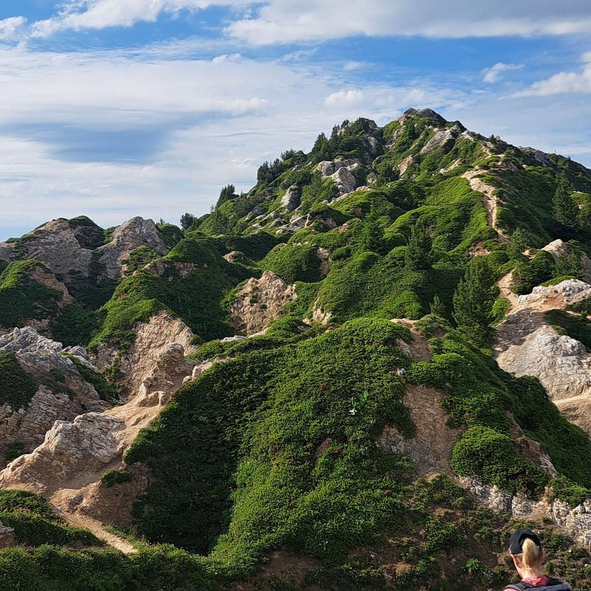
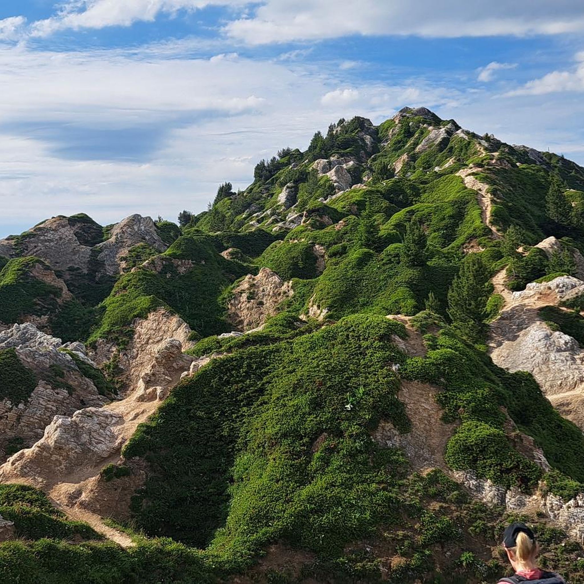
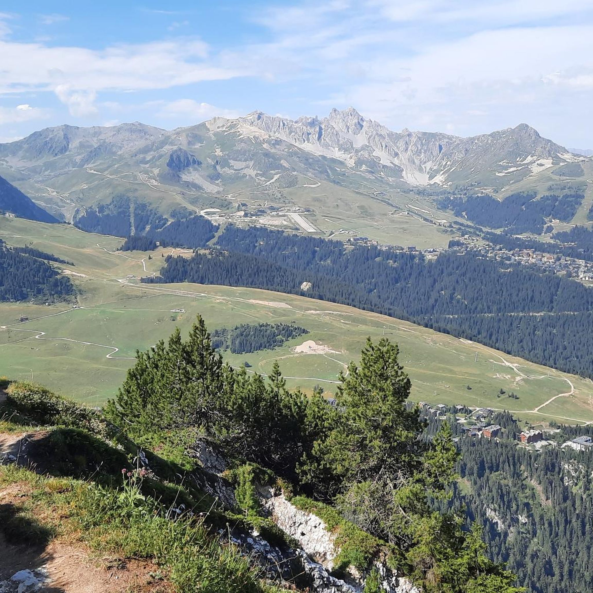
Mountaineering routes in Réserve Biologique Dirigée De La Dent Du Villard are characterized by challenging terrain within the Vanoise massif. The region features the Dent du Villard Summit, a distinctive white gypsum mountain with a tormented relief, offering 360-degree panoramic views. Diverse natural habitats, including forests, alpine meadows, and ancient mountain pines, contribute to the area's unique landscape. Routes often involve steep, exposed sections and passages equipped with cables, traversing ridgelines and doline fields.
Best mountaineering routes in Réserve Biologique Dirigée De La Dent Du Villard
- The most popular mountaineering route is Poux Waterfall – Petit Mont Blanc loop from Vanoise massif, a 11.0 miles (17.7 km) trail that takes 6 hours 29 minutes to complete. This difficult route offers expansive views of the Vanoise massif.
- Another top favourite among local mountaineers is The Salt Road – Lac des Vaches loop from Pralognan-la-Vanoise, a difficult 9.9 miles (16.0 km) path. This route navigates unique geological formations and offers views towards Lac des Vaches.
- Local mountaineers also love the Napremont – Bouquetin loop from Pralognan-la-Vanoise, a 6.8 miles (11.0 km) trail leading through diverse habitats and subalpine meadows, often completed in about 4 hours 10 minutes.
- Mountaineering in Réserve Biologique Dirigée De La Dent Du Villard is defined by gypsum mountains, challenging ridgelines, and varied natural habitats. The network offers options for both moderate and difficult ability levels.
- The routes in Réserve Biologique Dirigée De La Dent Du Villard are highly rated by the komoot community with an average score of 4.9 stars from over 40 reviews. More than 200 mountaineers have used komoot to explore Réserve Biologique Dirigée De La Dent Du Villard's varied terrain.
Last updated: July 1, 2026
6
hikers
17.7km
06:29
890m
890m
Hard mountaineering route. Very good fitness required. Mostly accessible paths. Sure-footedness required.
5.0
(2)
8
hikers
10.9km
04:09
730m
730m
Moderate mountaineering route. Good fitness required. Easily-accessible paths. Suitable for all skill levels.

Sign up for free
7
hikers
10.3km
05:59
1,030m
1,030m
Hard mountaineering route. Very good fitness required. Sure-footedness, sturdy shoes and alpine experience required.
5.0
(1)
7
hikers
15.2km
07:22
1,180m
1,180m
Hard mountaineering route. Very good fitness required. Mostly accessible paths. Sure-footedness required.
5
hikers
Hard mountaineering route. Very good fitness required. Mostly accessible paths. Sure-footedness required.
Get access to more routes and recommendations from other explorers.
Sign up for free
Already have an account?
Our route recommendations are based on thousands of hikes, rides, and runs completed by other people on komoot.
Start today with a free account
Your next adventure awaits.
Login or Signup
Popular around Réserve Biologique Dirigée De La Dent Du Villard
Road Cycling Routes in Réserve Biologique Dirigée De La Dent Du Villard
Hiking in Réserve Biologique Dirigée De La Dent Du Villard
MTB Trails in Réserve Biologique Dirigée De La Dent Du Villard
Running Trails in Réserve Biologique Dirigée De La Dent Du Villard
Cycling in Réserve Biologique Dirigée De La Dent Du Villard

Gravel biking in Réserve Biologique Dirigée De La Dent Du Villard
Tips from the Community


The refuge is open from mid-June to mid-September and has 44 beds. It also serves good comfort food, for lunch and dinner. Remember to book your night on the refuge website: https://refuge-valette.vanoise.com/services-gardiennage
0
0

beautiful place to start the tour de la Vanoise
0
0

Very nice lodgings and good comfort. On the other hand the staff is not friendly and the boss even less. Big scam for the price of the picnic and exorbitant price.
2
0

Beautiful place to ride the bike
0
0

It is a pretty little bridge, at an altitude of 1,725 meters, which allows you to cross the Doron de Chavière.
0
0
Frequently Asked Questions
What kind of terrain can I expect on mountaineering routes in Réserve Biologique Dirigée De La Dent Du Villard?
The terrain in Réserve Biologique Dirigée De La Dent Du Villard is notably challenging and diverse. You'll encounter sporty hikes with steep, exposed, and sometimes vertiginous sections. Paths are often carved into the unique white gypsum rock, and some passages are equipped with cables for assistance. The ridgelines frequently serpent through doline fields (sinkholes), adding to the distinctive geological experience. Expect a mix of forests, alpine meadows, and screes.
Are there any moderate mountaineering routes available?
Yes, while many routes are difficult, there are 10 moderate mountaineering routes in the reserve. For example, the Napremont – Bouquetin loop from Pralognan-la-Vanoise is a moderate 6.8-mile (11.0 km) trail that takes about 4 hours 10 minutes to complete, leading through diverse habitats and subalpine meadows.
What are some notable natural features or viewpoints along the routes?
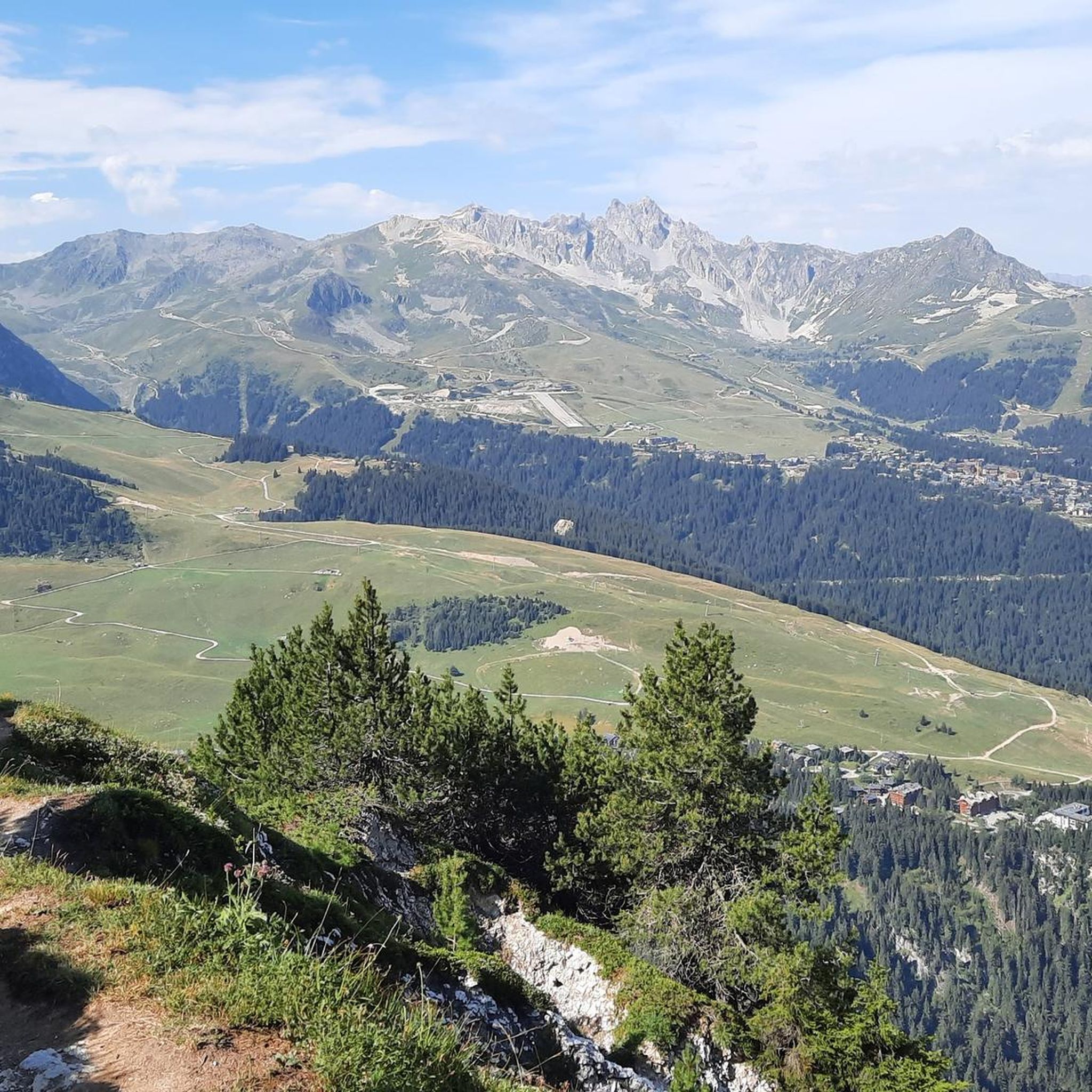
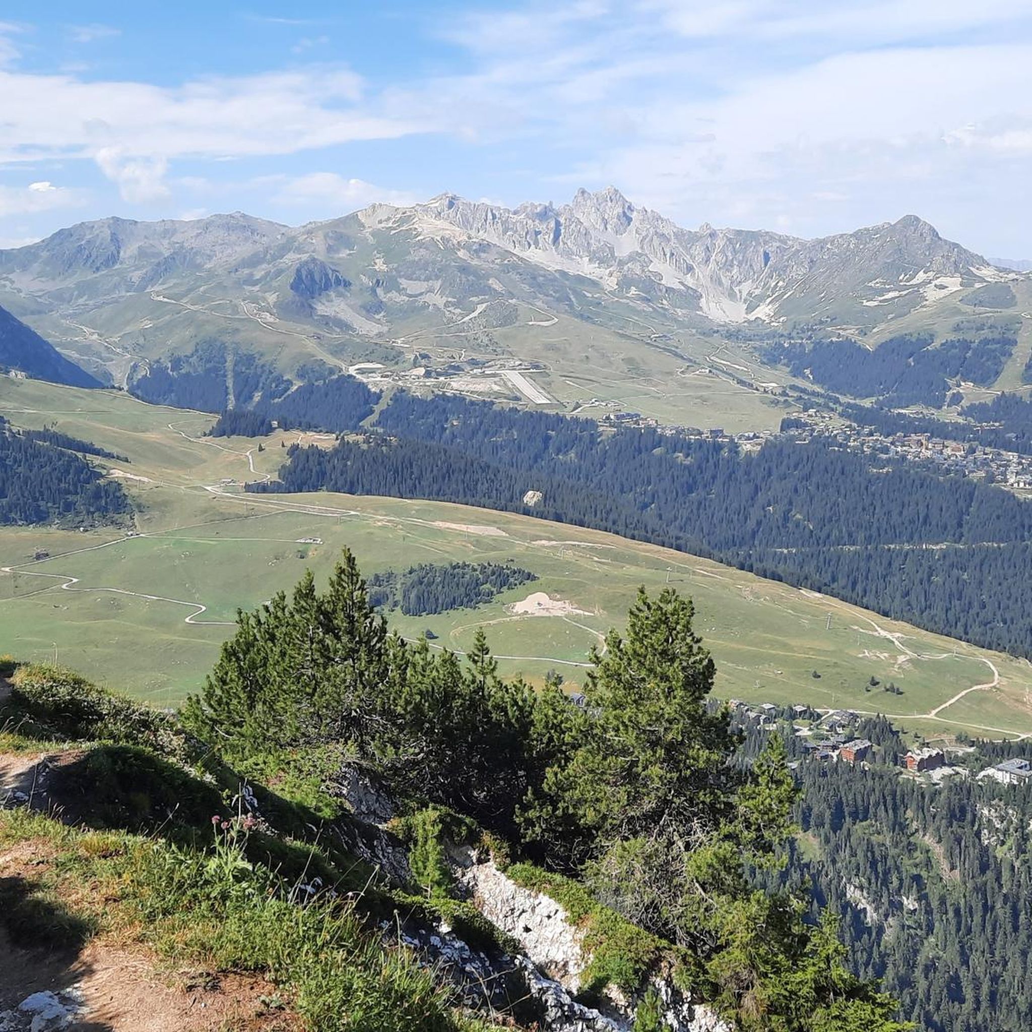
The central attraction is the Dent du Villard Summit (2285m) itself, offering magnificent 360-degree panoramic views of Mont Blanc, the Vanoise glaciers, and the 3 Vallées. You'll also find the picturesque Lac de la Rosière, often a starting point for hikes, reflecting the surrounding peaks. The area is rich in geological curiosities, particularly the unique white gypsum formations and ancient mountain pines listed under Natura 2000.
What is the best time of year for mountaineering in this region?
Mountaineering in Réserve Biologique Dirigée De La Dent Du Villard is best enjoyed during the warmer months when the trails are clear of snow and ice. The challenging terrain, especially the steep and exposed sections, can become very slippery and hazardous in bad weather or winter conditions. Always check local weather forecasts before heading out.
Are there any circular mountaineering routes?
Yes, many routes in the area are designed as loops. For instance, the popular Poux Waterfall – Petit Mont Blanc loop from Vanoise massif is a difficult 11.0-mile (17.7 km) route. Another option is The Salt Road – Lac des Vaches loop from Pralognan-la-Vanoise, a difficult 9.9-mile (16.0 km) path navigating unique geological formations.
How long do mountaineering routes typically take in Réserve Biologique Dirigée De La Dent Du Villard?
The duration varies significantly based on the route's difficulty and length. For example, the moderate Napremont – Bouquetin loop can be completed in about 4 hours 10 minutes. More challenging routes, like the Poux Waterfall – Petit Mont Blanc loop, can take around 6 hours 29 minutes, while the Salt Road – Lac des Vaches loop might take up to 6 hours 48 minutes.
What do other mountaineers enjoy most about the routes here?
The komoot community highly rates the mountaineering routes in Réserve Biologique Dirigée De La Dent Du Villard, with an average score of 4.9 stars from over 40 reviews. Reviewers often praise the magnificent 360-degree panoramic views from the Dent du Villard Summit, the unique geological formations, and the sense of adventure offered by the challenging and varied terrain.
Are there any particularly challenging mountaineering trails for experienced climbers?
Yes, the reserve is known for its challenging routes. There are 13 difficult routes available. The Col du Grand Marche loop from Pralognan-la-Vanoise is a difficult 10.3 km route with over 1000m of elevation gain, offering a significant challenge. Another demanding option is the Refuge de la Valette – Refuge Le Repoju loop, a 15.2 km difficult route with nearly 1200m of ascent.
Is public transport available to access the trailheads?
While specific public transport details for all trailheads are not provided, areas like Courchevel and Pralognan-la-Vanoise, which serve as starting points for many routes, typically have bus services during peak seasons. For routes starting near Lac de la Rosière, you might find local shuttle services from Courchevel. It's advisable to check local transport schedules for Courchevel and Pralognan-la-Vanoise before your trip.
Are dogs allowed on the mountaineering routes in the reserve?
Réserve Biologique Dirigée De La Dent Du Villard is part of the Natura 2000 network, which often implies specific regulations regarding pets to protect wildlife. While general rules can vary, it's common for dogs to be required to be on a leash, especially in protected areas. Some sections might have stricter rules. Always check local signage and specific regulations for the Vanoise massif and Natura 2000 sites before bringing your dog.
Are there any cafes or amenities near the trailheads after a hike?
Yes, given that many routes start from or pass near popular areas like Lac de la Rosière and towns such as Courchevel and Pralognan-la-Vanoise, you can expect to find amenities. The Chalet du Lac de la Rosière is a known spot near the lake, and both Courchevel and Pralognan-la-Vanoise offer various cafes, restaurants, and accommodation options for hikers to relax and refuel after their mountaineering adventures.
Do I need a permit for mountaineering in Réserve Biologique Dirigée De La Dent Du Villard?
Generally, permits are not required for day hiking or mountaineering on established trails within the Réserve Biologique Dirigée De La Dent Du Villard. However, as it is a protected area (Natura 2000 site), certain activities might have restrictions. It's always a good practice to consult the local tourism office or park authority for any specific regulations, especially if you plan activities beyond standard hiking or during specific seasons.
Most popular routes in Réserve Biologique Dirigée De La Dent Du Villard

Get inspired with the komoot mobile app


Explore more
Browse the best Mountain Hikes & Routes in other regions.
