The best cycling routes in Oasi Xerotermica Di Oulx - Auberge
4.7
(321)
11,035
riders
129
rides
Touring cycling routes in Oasi Xerotermica Di Oulx - Auberge navigate a diverse landscape within the Upper Susa Valley in the Italian Alps. The region features varied terrain, from the Dora Riparia riverbed to elevations reaching approximately 1,500 meters, encompassing parts of Monte Cotolivier. This area is characterized by xerothermic habitats, including unique flora and dry grasslands, alongside forests of Scots pine and mugo pine. Cyclists can find routes ranging from flat, wooded paths to demanding Alpine climbs.
Best touring…
Last updated: November 1, 2026
3.5
(4)
1,478
riders
Hard bike ride. Very good fitness required. Mostly paved surfaces.
73
riders
94.5km
07:23
2,590m
2,590m
Hard bike ride. Very good fitness required. Mostly paved surfaces.

5.0
(4)
66
riders
Hard bike ride. Very good fitness required. Mostly paved surfaces.
5.0
(3)
61
riders
43.3km
04:08
1,260m
1,260m
Hard bike ride. Very good fitness required. Mostly paved surfaces.
63
riders
Hard bike ride. Very good fitness required. Mostly paved surfaces.
Get access to more routes and recommendations from other explorers.
Already have an account?
Our route recommendations are based on thousands of hikes, rides, and runs completed by other people on komoot.
Start today with a free account
Your next adventure awaits.
Popular around Oasi Xerotermica Di Oulx - Auberge
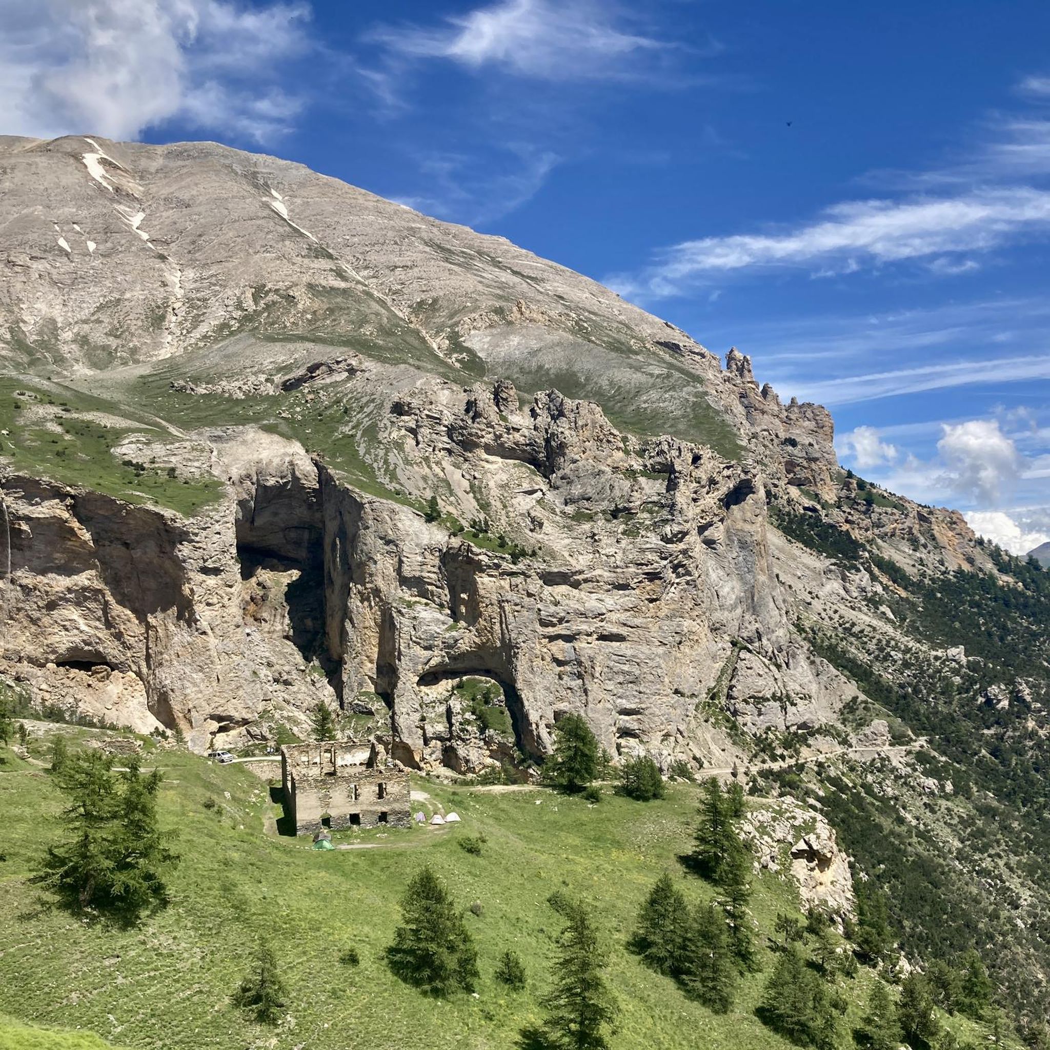
MTB Trails in Oasi Xerotermica Di Oulx - Auberge
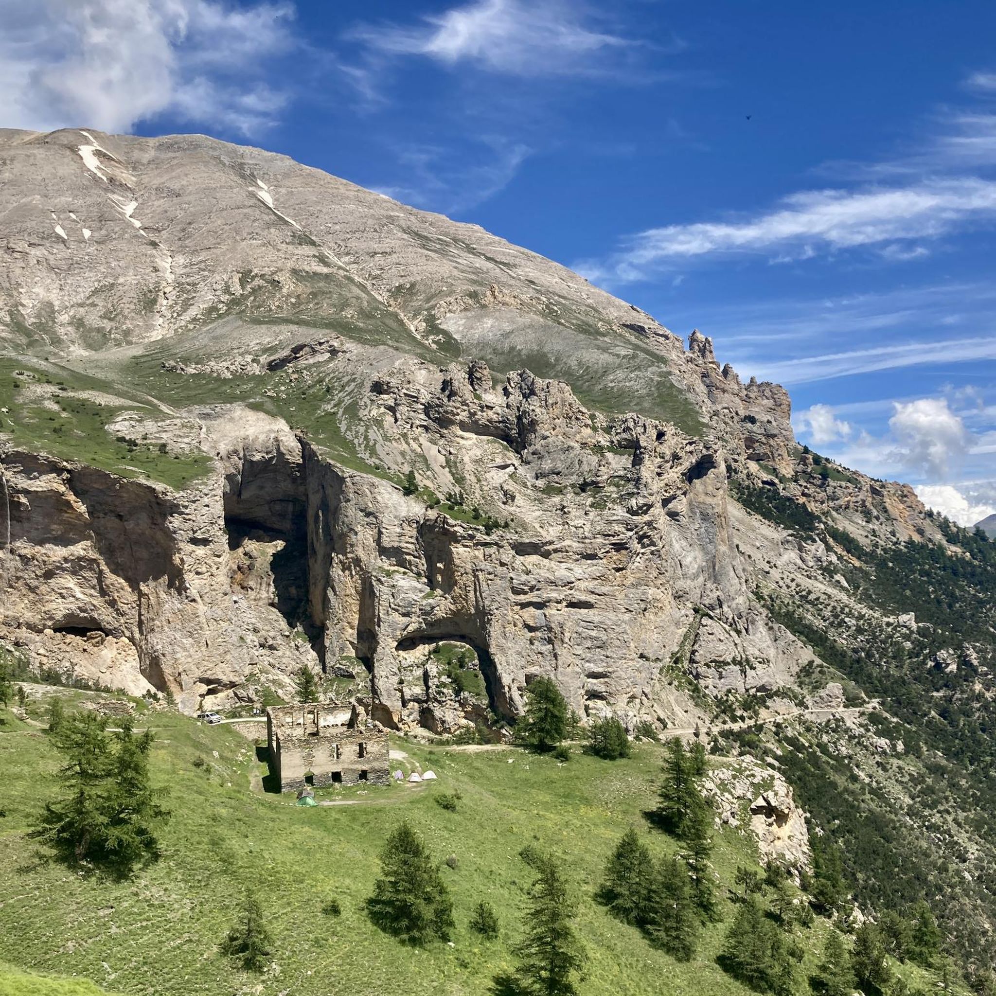
Hiking in Oasi Xerotermica Di Oulx - Auberge
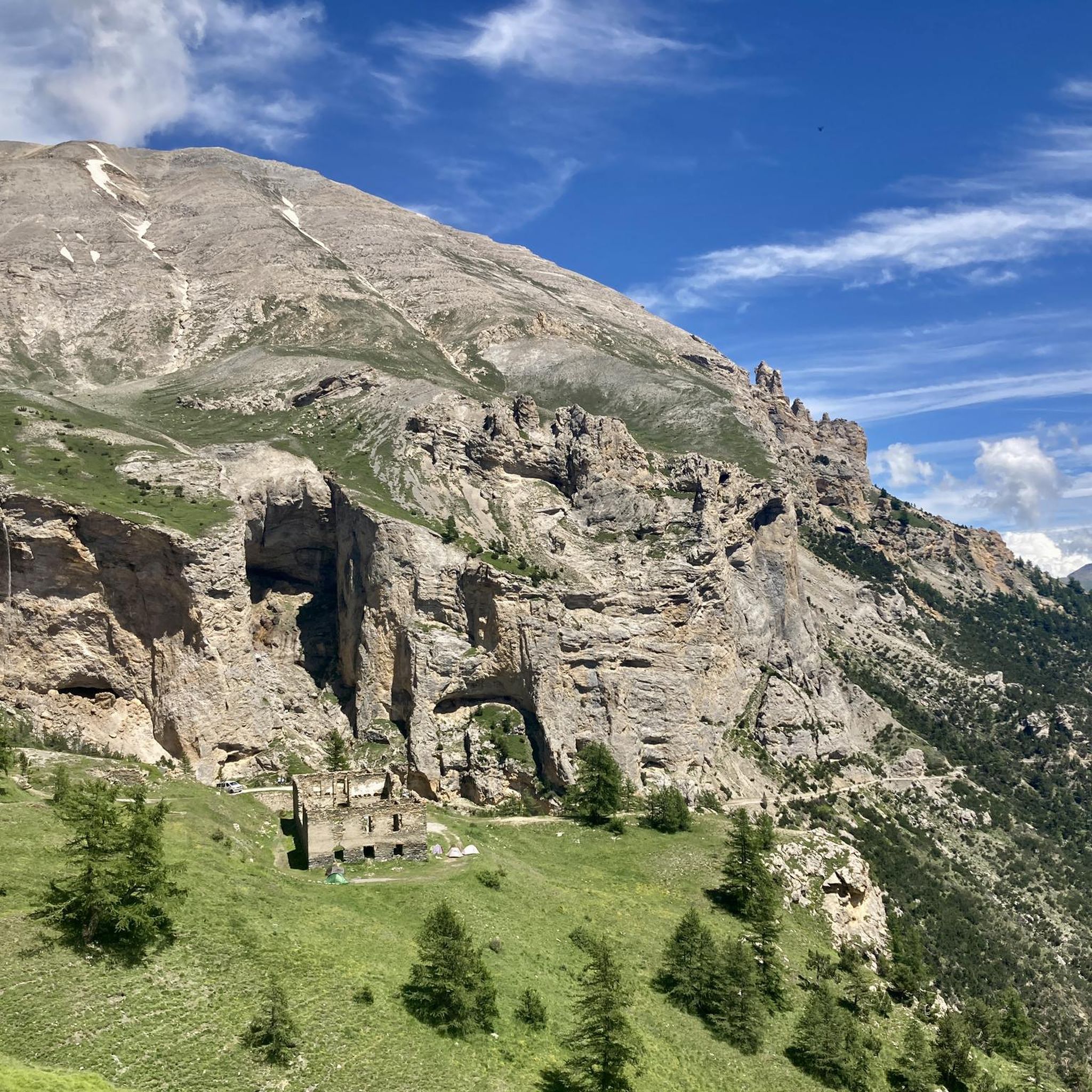
Road Cycling Routes in Oasi Xerotermica Di Oulx - Auberge

Gravel biking in Oasi Xerotermica Di Oulx - Auberge
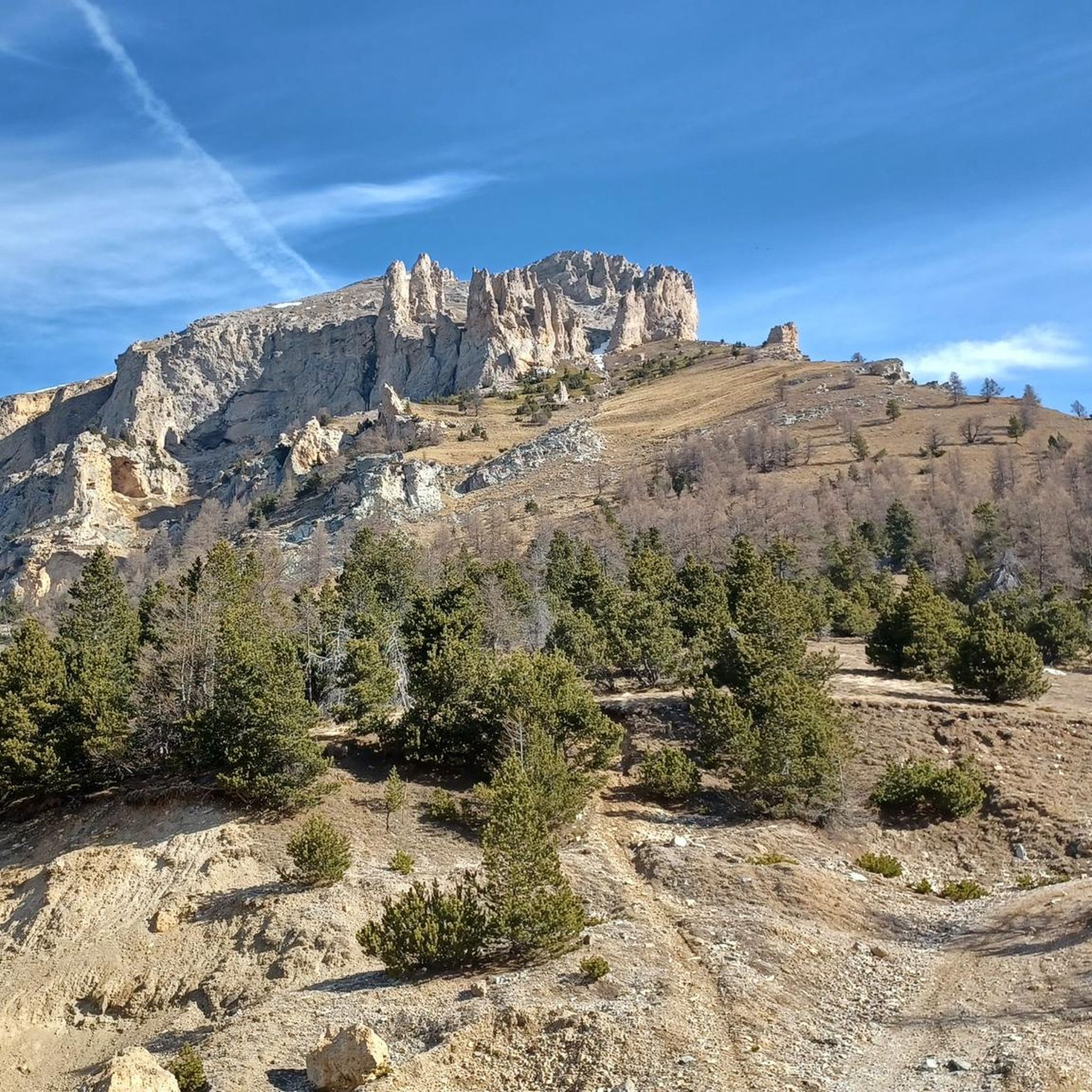
Running Trails in Oasi Xerotermica Di Oulx - Auberge

Mountain Hikes in Oasi Xerotermica Di Oulx - Auberge
Tips from the Community

Very beautiful to see, it should be possible to visit it also with access via QR Code.
0
0

Spacious square where you can take a well-deserved break. Arriving from Salbertrand, if you want to reach the galleria dei Saraceni continue straight, to visit the Forte di Pramand you need to turn left.
0
0

The old village washhouses
0
0
Junction to the third fort that gives the road its name
0
0

Returning from Susa-Susa (direction Monginevro-Cesana) on 07/26/2004, we found ourselves, as we knew, in front of the tunnel forbidden to bicycles and with the entrance to the old road that crosses the avalanche protection tunnels closed by a municipal ordinance. Passage prohibited for pedestrians and cyclists for safety reasons. Given the late hour, the many km already covered, and the open barrier, probably forced by some other cyclist who found themselves in a similar situation, we passed anyway. Unfortunately, however, the situation is this, meaning you shouldn't pass by bike. As of today, I recommend that those arriving from Briancon take the detour to the Colle della Scala (direction Nevache) and descend to Bardonecchia.
1
0

And the Vauban fortress. It is not a castle
0
0

Shortly after the start, it is worth taking a look at the magnificent fresco decorating the facade of this church dating back to 1500: it is Saint Christopher, the protector of travellers. In fact, this church overlooks the ancient Via Francigena, the old road that connected Italy to France, aligned on the pilgrimage route heading towards the South of the peninsula, towards the embarkations for the Holy Land.
1
0

In the diary of his pilgrimage on the Way of St. James, which was published later, the German entertainer Hape (Hans-Peter) Kerkeling also writes about the meditative experience of praying the Rosary together, which he experienced himself in the “grandiose village church, which has the makings of a cathedral” of Castildelgado (Castile). Under the date June 21, 2001, he notes: “I simply must see the only tourist attraction in town! (…) She is all the more pleased that I want to see the jewel of Castildelgado and accompanies me inside. Our tour quickly ends in front of the altar, and so the woman asks me to take a seat in one of the wonderfully cool pews. Gradually, other people enter the church. The older lady begins to pray the rosary. The monotonous chanting has a calming effect, and the constantly repeating lament gives strength, security, and peace! So, after I can recite the words along with her, I join in the mantra…” (Hape Kerkeling in “I’m Off Then: My Journey on the Camino de Santiago”)
0
0
Frequently Asked Questions
How many touring cycling routes are available in Oasi Xerotermica Di Oulx - Auberge?
The Oasi Xerotermica Di Oulx - Auberge region offers a wide selection of touring cycling routes, with over 100 options to explore. These routes cater to various skill levels, from easy rides to very challenging Alpine climbs.
What are the difficulty levels of touring cycling routes in the Oasi Xerotermica Di Oulx - Auberge region?
The routes in Oasi Xerotermica Di Oulx - Auberge range significantly in difficulty. You'll find approximately 10 easy routes, 22 moderate routes, and over 80 difficult routes, many of which involve substantial elevation gains through mountainous terrain.
Are there any family-friendly touring cycling routes in Oasi Xerotermica Di Oulx - Auberge?
Yes, for a more relaxed experience, there are easier routes suitable for families. One option is a flat path mostly immersed in woods that connects Beaulard to Oulx. Another is the Bike loop from Oulx - Cesana - Claviere - Sestriere, which is rated moderate and covers about 25.5 km with manageable elevation.
What kind of terrain can I expect on touring cycling routes in this area?
The terrain is incredibly diverse, ranging from flat, wooded paths alongside the Dora Riparia riverbed to demanding Alpine climbs reaching elevations up to approximately 1,500 meters, encompassing parts of Monte Cotolivier. You'll encounter xerothermic habitats, Scots pine and mugo pine forests, and open mountain landscapes.
What are some notable landmarks or natural features I can see while cycling?
The region is rich in natural and historical sights. You might pass by unique xerophilous calcareous screes, deep gorges like the Orrido, and visible caves such as the Grotta dei Saraceni. Historical sites include the Forte Pramand and the Caserma Grotte Del Seguret. The Madonna del Cotolivier Chapel – Pierremenaud loop offers panoramic views after a challenging ascent.
Are there any circular touring cycling routes available?
Yes, many routes are designed as loops, allowing you to start and finish in the same location. Examples include the challenging Lac Gignoux – Colle di Gondrand loop and the more moderate Borgata Vazon – Pierremenaud loop from Oulx.
What do other touring cyclists say about the routes in Oasi Xerotermica Di Oulx - Auberge?
The touring cycling routes in Oasi Xerotermica Di Oulx - Auberge are highly regarded by the komoot community, holding an average rating of 4.6 stars from over 180 reviews. Cyclists often praise the diverse landscapes, the challenge of the Alpine climbs, and the scenic beauty of the region.
What is the best time of year for touring cycling in Oasi Xerotermica Di Oulx - Auberge?
Given its Alpine location, the best time for touring cycling is typically from late spring through early autumn (May to October). During these months, the weather is generally more stable, and higher mountain passes are usually clear of snow, offering access to the full range of routes.
Are there any routes that offer views of historical forts or military roads?
Absolutely. The region has a rich military history. You can explore routes that offer views of historical fortifications, such as the View of Fort of Exilles loop. Additionally, gravel bike enthusiasts can find routes like the 'BARDONECCHIA Forte Foens - Galleria dei Saraceni - Forte Pramand' which utilizes ancient panoramic military roads.
Can I find routes that take me through picturesque villages?
Yes, many routes connect or pass through charming hamlets and villages. You can explore characteristic places such as Amazas, Beaume, Gad, Monfol, Pierremenaud, San Marco, and Villard. Sauze d'Oulx, known as the 'Balcony of the Alps,' also offers spectacular views and a blend of traditional Alpine architecture. For more information on Sauze d'Oulx, you can visit Visit Italy.
Are there any long-distance or multi-day touring options?
While specific multi-day routes are not detailed, the extensive network of routes, including challenging Alpine climbs to passes like Moncenisio, Col du Galibier, and Col de Montgenèvre, provides ample opportunity to link tours for longer adventures. The region's diverse terrain allows for planning multi-day trips with varying daily distances and elevations.
Most popular routes in Oasi Xerotermica Di Oulx - Auberge
Most popular attractions in Oasi Xerotermica Di Oulx - Auberge

Get inspired with the komoot mobile app


Explore more
Browse the best Cycling routes in other regions.
