Réserve Biologique Intégrale Du Bois Du Chapitre
Réserve Biologique Intégrale Du Bois Du Chapitre
The best walks and hikes in Réserve Biologique Intégrale Du Bois Du Chapitre
4.5
(764)
8,311
hikers
238
hikes
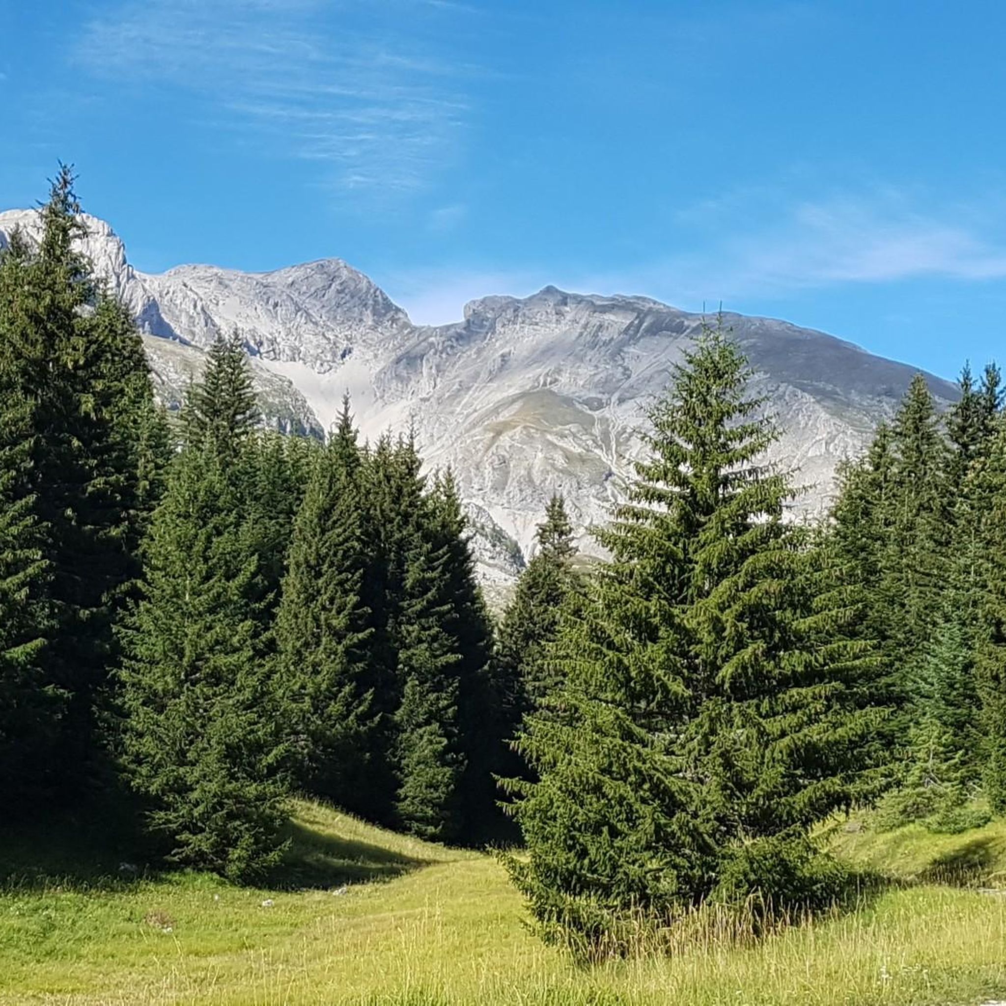
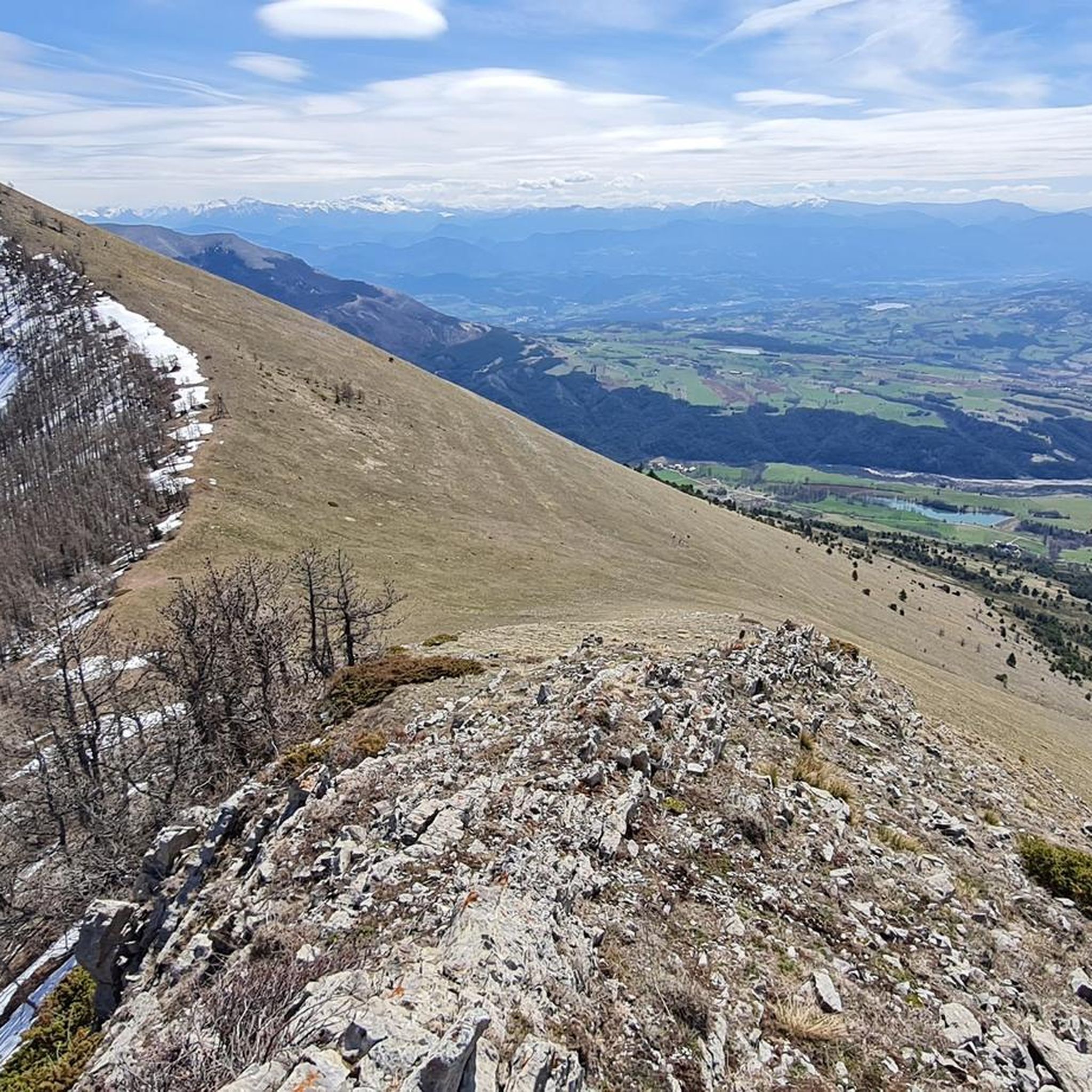
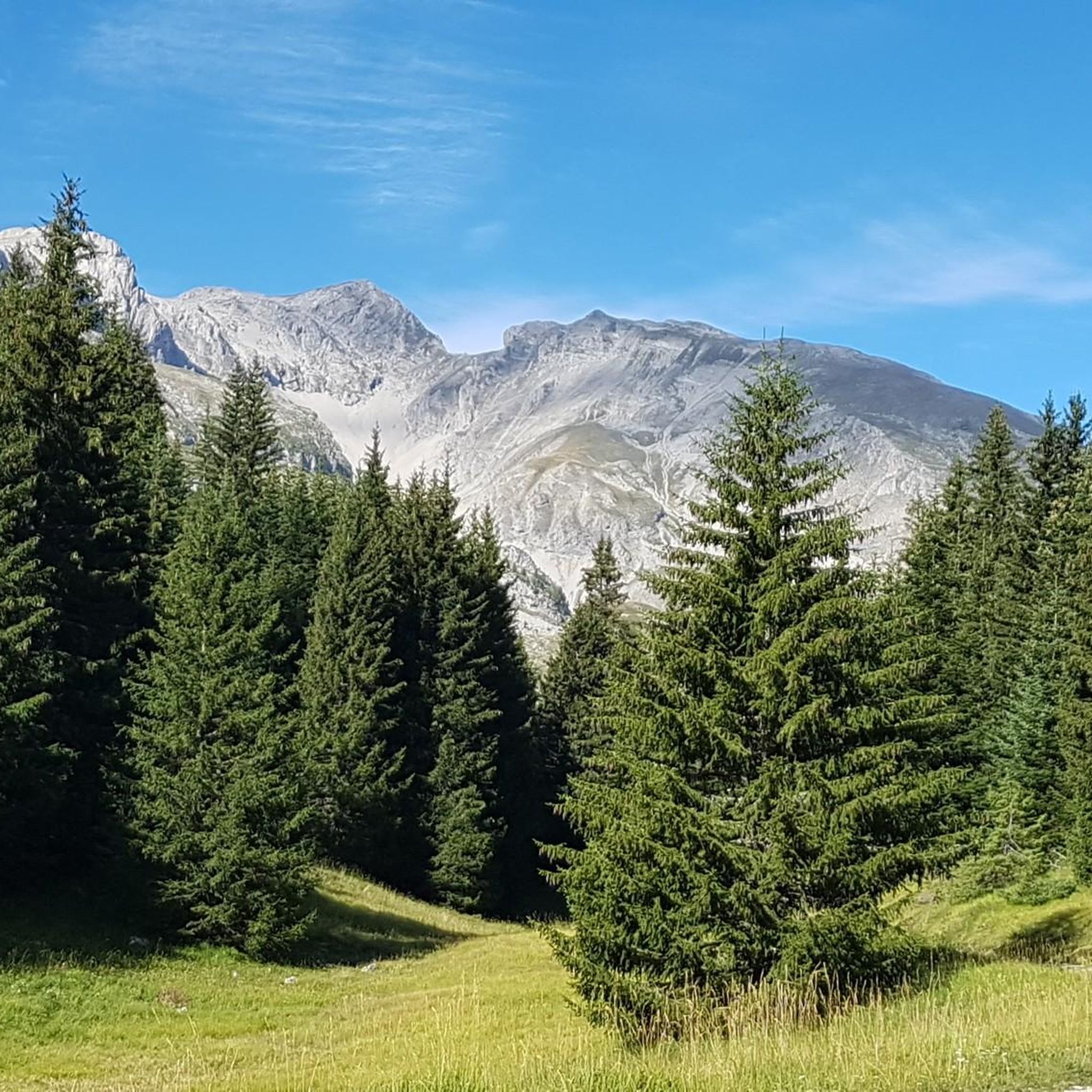
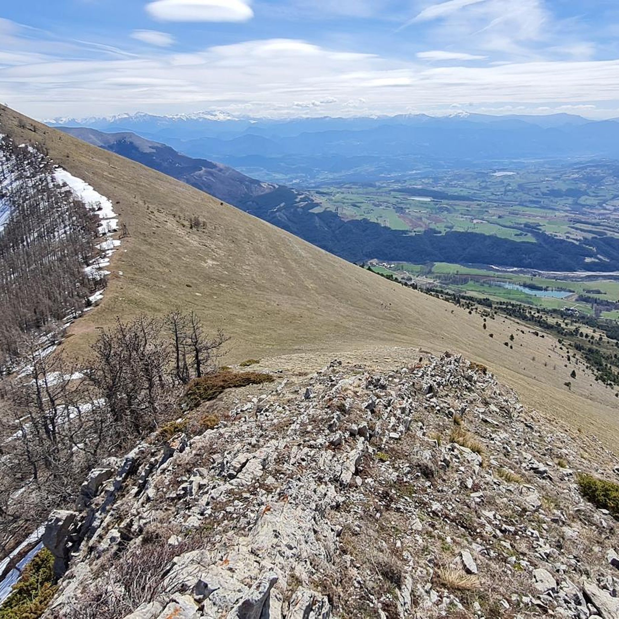
Hiking trails in Réserve Biologique Intégrale Du Bois Du Chapitre traverse a diverse landscape within the Domaniale de Gap-Chaudun forest in the Hautes-Alpes region. The area is characterized by old-growth beech-fir forests, featuring monumental trees and rich ecosystems, and mountainous terrain with an altitudinal range from 1,250 meters to 2,060 meters. The Petit Buëch torrent bisects the reserve, contributing to varied ecological zones and providing diverse hiking experiences. This integral biological reserve limits human intervention to maintain its wild character.
Best hiking trails in Réserve Biologique Intégrale Du Bois Du Chapitre
- The most popular hiking route is Ascent to the Pic de Gleize, a 3.5 miles (5.7 km) moderate trail that takes 2 hours 11 minutes to complete. This route offers a steady climb towards the summit.
- Another top favourite among local hikers is Pic de Gleize and pic de l'Aiguille loop, a difficult 5.7 miles (9.2 km) path. This challenging loop provides expansive views of the surrounding mountainous cirque.
- Local hikers also love the Gleize Peak – Col de Gleize (1691 m) loop from Col de Gleize, a 5.4 miles (8.8 km) trail leading through varied mountain terrain, often completed in about 3 hours 22 minutes.
- Hiking in Réserve Biologique Intégrale Du Bois Du Chapitre is defined by old-growth forests, mountainous cirques, and the Petit Buëch valley. The extensive network of routes offers options for different ability levels, from moderate ascents to more difficult loops.
- The routes in Réserve Biologique Intégrale Du Bois Du Chapitre are highly rated by the komoot community with an average score of 4.5 stars from over 600 reviews. More than 7,500 hikers have used komoot to explore Réserve Biologique Intégrale Du Bois Du Chapitre's varied terrain.
Last updated: July 1, 2026
4.2
(14)
139
hikers
9.48km
03:31
590m
590m
Hard hike. Good fitness required. Sure-footedness, sturdy shoes and alpine experience required.
4.8
(58)
449
hikers
5.67km
02:11
420m
420m
Moderate hike. Good fitness required. Easily-accessible paths. Suitable for all skill levels.

Sign up for free
4.3
(3)
12
hikers
9.20km
03:39
620m
620m
Hard hike. Good fitness required. Sure-footedness, sturdy shoes and alpine experience required.
4.6
(8)
45
hikers
13.4km
04:19
570m
570m
Moderate hike. Good fitness required. Mostly accessible paths. Sure-footedness required.
5.0
(1)
7
hikers
10.4km
03:52
540m
540m
Moderate hike. Good fitness required. Mostly accessible paths. Sure-footedness required.
Get access to more routes and recommendations from other explorers.
Sign up for free
Already have an account?
Our route recommendations are based on thousands of hikes, rides, and runs completed by other people on komoot.
Start today with a free account
Your next adventure awaits.
Login or Signup
Popular around Réserve Biologique Intégrale Du Bois Du Chapitre
Road Cycling Routes in Réserve Biologique Intégrale Du Bois Du Chapitre
MTB Trails in Réserve Biologique Intégrale Du Bois Du Chapitre
Cycling in Réserve Biologique Intégrale Du Bois Du Chapitre
Running Trails in Réserve Biologique Intégrale Du Bois Du Chapitre
Gravel biking in Réserve Biologique Intégrale Du Bois Du Chapitre

Mountain Hikes in Réserve Biologique Intégrale Du Bois Du Chapitre
Tips from the Community

It is not possible to continue past the peak of the needle without climbing equipment. Don't take the risk.
0
0
Some slightly tricky passages but doable by everyone
0
0

A good level of fitness is required, and walking sticks are not a luxury. Wind force four did not help. Beautiful views!
0
0

It is one of the highest bocages in Europe. These landscapes are typical in France, but this one is one of the best preserved. It has a superb network of beech hedges, crops, meadows and woods which attracts beautiful biodiversity and many birds.
0
0
The Col de Gleize car park is located next to a designated picnic area. It is the starting point for many hiking trails that intersect here.
0
0

For a great picnic with a 360° view of breathtaking landscapes: meet at Pic Chaudun 🌟
0
0
Splendid view but very dangerous passage. We turned around...
0
0

It is accessible by car via a pretty narrow road and has parking as it is the starting point for many trails.
1
0
Frequently Asked Questions
How many hiking trails are available in Réserve Biologique Intégrale Du Bois Du Chapitre?
The Réserve Biologique Intégrale Du Bois Du Chapitre offers a wide network of over 220 hiking trails. These routes cater to various fitness levels, ranging from easy walks to more challenging excursions through its diverse landscapes.
What makes the Réserve Biologique Intégrale Du Bois Du Chapitre unique for hiking?
This reserve is distinguished by its old-growth beech-fir forests, some of which have seen little human intervention for decades, contributing to its UNESCO World Heritage status. Hikers can experience a rich ecosystem with monumental trees and abundant biodiversity, set within a mountainous cirque with altitudinal variations from 1,250 to 2,060 meters.
What kind of terrain can I expect when hiking in the reserve?
You can expect varied mountainous terrain, with trails traversing an altitudinal range from 1,250 meters to 2,060 meters. The reserve is bisected by the Petit Buëch torrent, creating diverse ecological zones. You'll encounter old-growth forests on north-facing slopes and different landscapes on south-facing slopes, offering a dynamic hiking experience.
Are there easy hiking options suitable for beginners or families?
Yes, the reserve offers around 70 easy hiking routes, perfect for beginners or family outings. These trails allow you to enjoy the natural beauty without overly strenuous climbs. For example, you can find shorter loops around the lower elevations that are less demanding.
Are there challenging trails for experienced hikers?
Absolutely. For experienced hikers seeking a challenge, there are over 40 difficult trails available. Routes like the Pic de Gleize and pic de l'Aiguille loop, or the Pic de Gleize – Col de Gleize (1691 m) loop from Laye, offer significant elevation gains and expansive views, providing a rewarding experience.
Are there any circular routes in the Réserve Biologique Intégrale Du Bois Du Chapitre?
Yes, many of the trails are designed as circular routes, allowing you to start and end at the same point. Popular options include the Gleize Peak – Col de Gleize (1691 m) loop from Col de Gleize, which takes you through varied mountain terrain, and the Col de Gleize (1691 m) – Col de Gleize parking loop from Col de Gleize, offering a longer circuit.
What is the best time of year to hike in the reserve?
The reserve offers hiking opportunities throughout much of the year. Spring and autumn provide pleasant temperatures and vibrant foliage, while summer is ideal for higher-altitude trails. Winter hiking is possible, but requires appropriate gear and awareness of snow conditions, especially at higher elevations.
Can I bring my dog on the trails in the Réserve Biologique Intégrale Du Bois Du Chapitre?
As an integral biological reserve, human intervention is limited to the maintenance of marked hiking trails to preserve its wild character. While dogs are generally permitted on marked trails in many French national forests, it's always best to keep them on a leash to protect the diverse wildlife and sensitive ecosystems within the reserve.
What kind of wildlife might I see while hiking?
The reserve is a vital refuge for a wide array of flora and fauna. You might spot various bird species, including the Eurasian eagle-owl or Boreal owl, and several types of bats. The rich ecosystem also supports over 200 species of fungi and approximately 450 types of plants, making it a living laboratory for biodiversity.
Are there any notable viewpoints or natural features to look out for?
The mountainous terrain offers numerous panoramic views, particularly from higher points like Pic de Gleize. The old-growth beech-fir forests themselves are a significant natural feature, with monumental trees and abundant deadwood. The Petit Buëch torrent, which bisects the reserve, also adds to the scenic beauty.
What do other hikers enjoy most about the trails in Réserve Biologique Intégrale Du Bois Du Chapitre?
The trails in Réserve Biologique Intégrale Du Bois Du Chapitre are highly rated by the komoot community, with an average score of 4.5 stars from over 600 reviews. Hikers often praise the stunning old-growth forests, the diverse mountainous landscapes, and the sense of wildness and tranquility found within this preserved ecosystem.
Are there any long-distance trails that pass through the reserve?
Yes, the reserve is integrated into a wider network of trails. The GR®93 follows the Petit Buëch valley, connecting Rabou and Chaudun, and the GRP® du Tour du Dévoluy crosses the Bois des Donnes, offering opportunities for longer excursions through the region.
Most popular routes in Réserve Biologique Intégrale Du Bois Du Chapitre

Get inspired with the komoot mobile app


Explore more
Browse the best Hikes in other regions.
