The best road cycling routes in Zona Di Protezione Speciale Monticchie
4.6
(158)
2,879
riders
176
rides
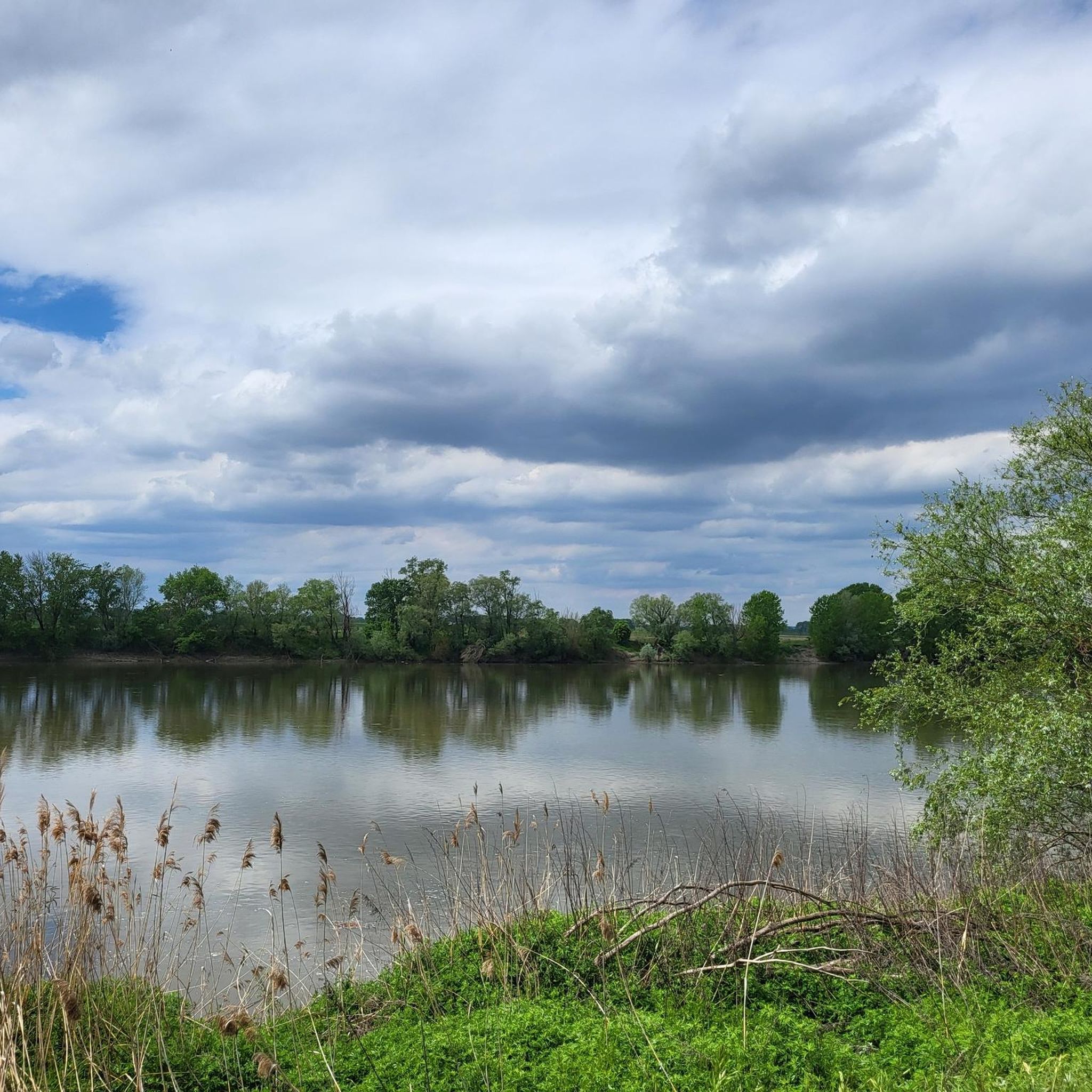
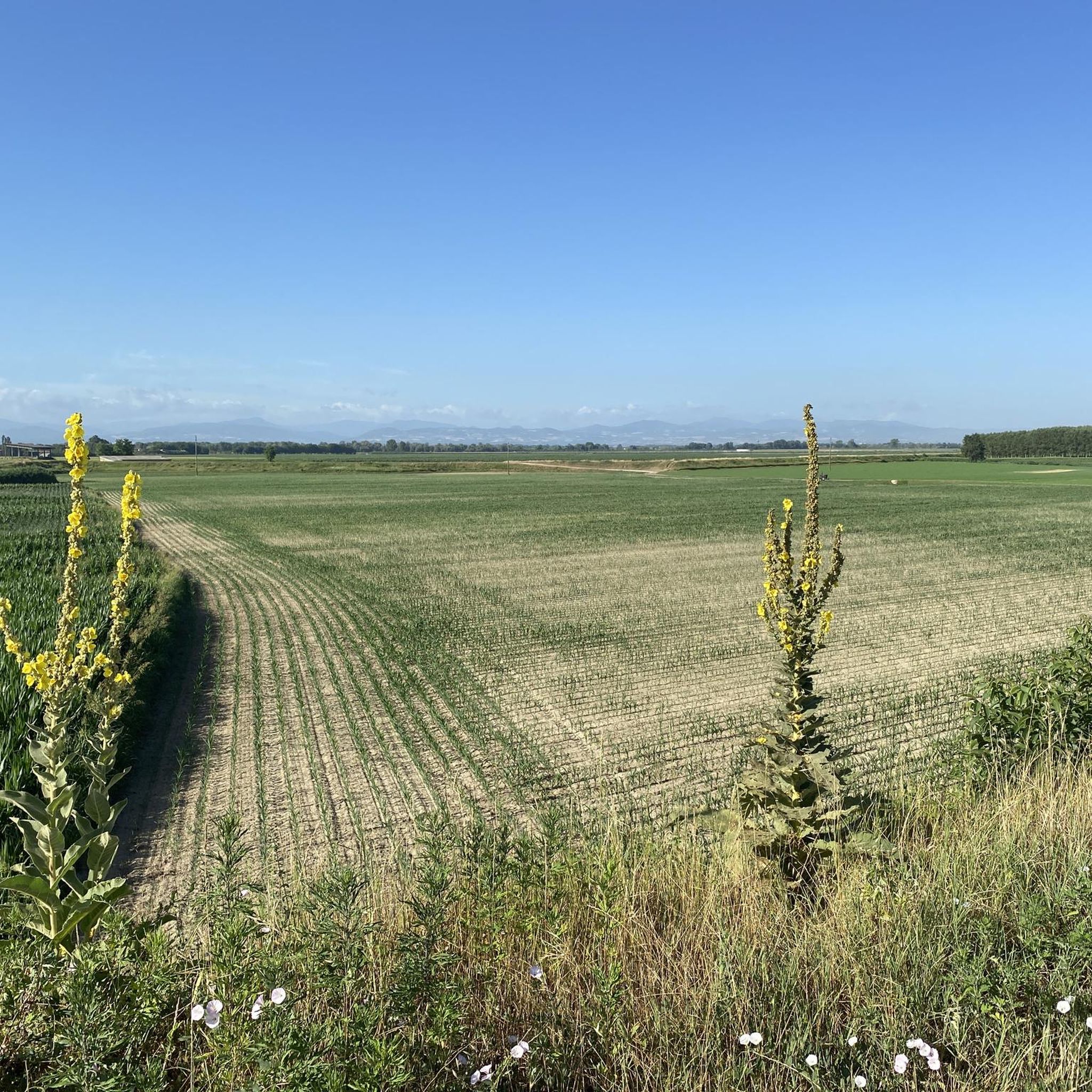
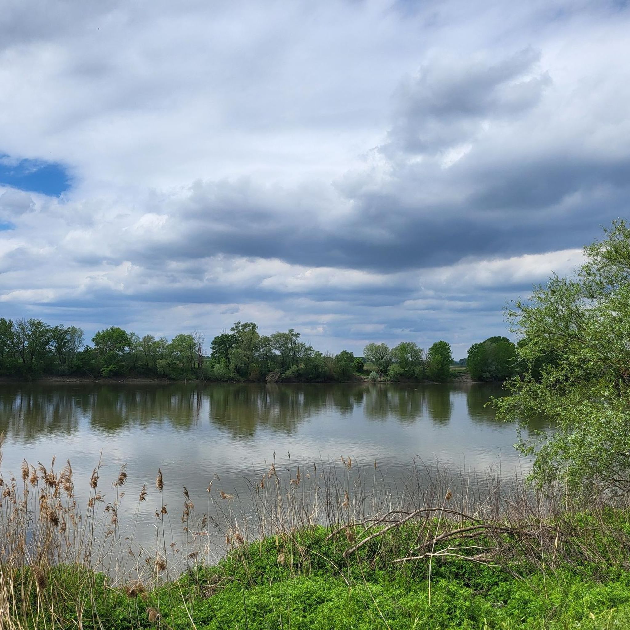
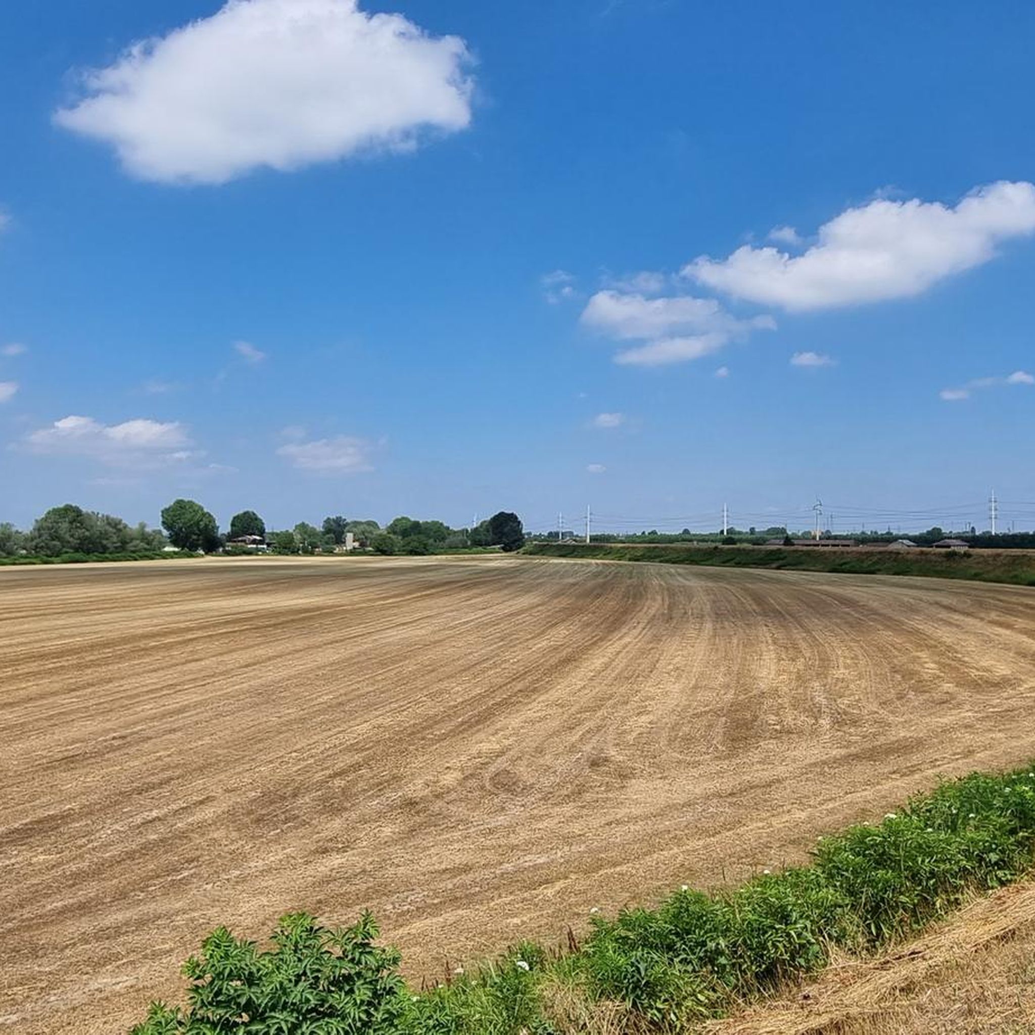
Road cycling routes in Zona Di Protezione Speciale Monticchie traverse a predominantly flat to gently undulating landscape, characteristic of river plains. The region is defined by its network of waterways, including the Po River, and agricultural areas, offering long stretches of road suitable for cycling. Elevation gains are minimal across most routes, making it accessible for various fitness levels. The terrain primarily consists of paved roads and dedicated cycle paths alongside canals and rivers.
Best road cycling routes in Zona…
Last updated: July 2, 2026
4.0
(2)
33
riders
Moderate road ride. Good fitness required. Mostly well-paved surfaces and easy to ride.
4.1
(9)
114
riders
61.7km
02:32
150m
150m
Moderate road ride. Good fitness required. Mostly well-paved surfaces and easy to ride.

Sign up for free
4.5
(6)
84
riders
57.8km
02:32
80m
80m
Moderate road ride. Good fitness required. Mostly well-paved surfaces and easy to ride.
5.0
(3)
71
riders
67.6km
02:55
390m
390m
Moderate road ride. Good fitness required. Mostly well-paved surfaces and easy to ride.
4.8
(17)
59
riders
54.2km
02:17
100m
100m
Moderate road ride. Good fitness required. Some segments of this route may be unpaved and difficult to ride.
Get access to more routes and recommendations from other explorers.
Sign up for free
Already have an account?
Our route recommendations are based on thousands of hikes, rides, and runs completed by other people on komoot.
Start today with a free account
Your next adventure awaits.
Login or Signup
Popular around Zona Di Protezione Speciale Monticchie

Tips from the Community

The Ramp on Via Collada in San Colombano al Lambro (MI) is a climb of about 700-1160 meters that starts right by the castle walls. It is known for its challenging average gradient of ~17% and peaks exceeding 20%] Length: Approximately 1.16 km (with a steep initial section of ~ 500 meters). Elevation gain: ~ 199 meters. Average gradient: 17.12%. Maximum gradient: Very steep, suitable for intense training (MTB/road bike climb category).
0
0
The Pizzighettone railway bridge is an important metal arch infrastructure located on the Pavia-Mantova line (in the Codogno-Cremona section) which crosses the Adda river, connecting the Pizzighettone station with the Ponte d'Adda stop.
0
0
Miradolo Terme is an Italian municipality located in Lombardy, in the province of Pavia, known mainly for its renowned thermal spa and for being the birthplace of the famous television presenter Gerry Scotti. The town stands in a hilly position at the foot of the San Colombano hills, surrounded by vineyards and hazelnut groves overlooking the Bassa Pavese.
0
0
The Ciaparat Chapel is a landmark mainly known on road cycling routes around Sant'Angelo Lodigiano and the Parco Agricolo Sud Milano, often included in loop itineraries between Bascapè, Locate Triulzi, and Vistarino. It is a popular area for moderate road bike training, with asphalted roads.
0
0
The vineyards of San Colombano are located on the only hill in the metropolitan city of Milan, an isolated elevation in the Po Valley that extends between the provinces of Milan, Lodi, and Pavia. This area is renowned for the production of the DOC wine of the same name, often referred to as the "wine of Milan" due to its historical proximity and connection with the metropolis.
0
0

Excellent Acqua💧 Point point to stock up on fresh water via the Padania Acque QR code
0
0

Classic climb of the San Colombano hills
0
0
Frequently Asked Questions
How many road cycling routes are available in Zona Di Protezione Speciale Monticchie?
There are over 160 road cycling routes in Zona Di Protezione Speciale Monticchie, offering a wide range of options for different skill levels and preferences.
Are there easy road cycling routes suitable for beginners or families?
Yes, Zona Di Protezione Speciale Monticchie features 54 easy road cycling routes. These routes typically have minimal elevation gain and follow dedicated cycle paths or quiet paved roads, making them ideal for beginners or family outings. Many routes are circular, starting and ending in the same location.
What kind of terrain can I expect on road cycling routes in this region?
The region is characterized by a predominantly flat to gently undulating landscape, typical of river plains. You'll primarily encounter paved roads and dedicated cycle paths alongside canals and rivers, with minimal elevation gains across most routes. This makes it accessible for various fitness levels.
Are there options for longer distance road cycling in Zona Di Protezione Speciale Monticchie?
Absolutely. While many routes are moderate in length, there are numerous options for longer rides. For example, the Po Cycle Route – Vento Cycle Route loop from Codogno covers 43.6 miles (70.2 km), offering an extended experience through riverine landscapes.
What are the best seasons for road cycling in Zona Di Protezione Speciale Monticchie?
The spring and autumn months are generally ideal for road cycling in Zona Di Protezione Speciale Monticchie. The weather is typically mild, and the natural scenery along the Po River and agricultural areas is particularly pleasant. Summer can be warm, so early morning or late afternoon rides are recommended.
What do other road cyclists enjoy most about the routes here?
The road cycling routes in Zona Di Protezione Speciale Monticchie are highly rated by the komoot community, with an average score of 4.5 stars from over 150 reviews. Cyclists often praise the flat, well-maintained paths, the scenic views of the Po River, and the peaceful agricultural landscapes that make for relaxing rides.
Are there any challenging routes for experienced road cyclists?
While the region is generally flat, there are 7 routes classified as difficult, offering slightly more challenging sections or longer distances. These routes still feature minimal elevation gain but might include more varied road conditions or longer stretches requiring endurance.
Are the road cycling routes typically circular?
Many of the road cycling routes in Zona Di Protezione Speciale Monticchie are designed as loops, allowing you to start and finish at the same point. For instance, the Climb of Palazzo Albergoni – Torre del Guado loop from Codogno is a popular circular option.
What kind of attractions or points of interest can I see along the routes?
The routes often pass through agricultural areas and along the Po River, offering views of the natural riverine landscape. You might also encounter small villages, historic farmhouses, and local churches. The Colombina Church – Canal Cycle Path loop from Codogno, for example, passes by a notable local church.
Are there places to stop for refreshments or food along the road cycling routes?
Given the routes often traverse agricultural areas and pass through small towns, you can usually find local cafes, trattorias, or small shops in the villages along the way to refuel and take a break. Planning your route with komoot can help identify these stops.
What are the typical road conditions for cycling in Zona Di Protezione Speciale Monticchie?
The road conditions are generally good, consisting of paved roads and dedicated cycle paths. As it's a Special Protection Zone, efforts are made to maintain the infrastructure. However, as with any rural area, be mindful of agricultural traffic and occasional uneven surfaces.
Is it possible to access the road cycling trails using public transport?
Access to the region's road cycling trails by public transport depends on the specific starting point. Major towns like Codogno, which is a common starting point for many routes, typically have train stations or bus connections. It's advisable to check local public transport schedules for specific route access.
Most popular routes in Zona Di Protezione Speciale Monticchie

Get inspired with the komoot mobile app


Explore more
Browse the best Road cycling routes in other regions.
