The best walks and hikes in Riserva Naturale Speciale E Orientata Palude Di Casalbeltrame
3.9
(39)
415
hikers
41
hikes
Hiking in Riserva Naturale Speciale E Orientata Palude Di Casalbeltrame offers trails through diverse landscapes, including marshlands, wooded sections, and surrounding rice fields. The reserve, established in 1984, spans approximately 640 hectares, with a central marsh area fed by springs. Paths traverse areas characterized by hygrophilous vegetation and are bordered by trees such as willows, poplars, and alders. The terrain is generally flat, with minimal elevation changes, making it accessible for various hiking levels.
Best hiking trails in Riserva Naturale…
Last updated: July 1, 2026
4.0
(1)
1
hikers
21.8km
05:31
30m
30m
Hard hike. Very good fitness required. Easily-accessible paths. Suitable for all skill levels.
12.6km
03:11
20m
20m
Moderate hike. Good fitness required. Easily-accessible paths. Suitable for all skill levels.

Sign up for free
3.0
(3)
6
hikers
11.4km
02:53
20m
20m
Moderate hike. Good fitness required. Easily-accessible paths. Suitable for all skill levels.
4.0
(3)
8
hikers
10.1km
02:33
20m
20m
Moderate hike. Good fitness required. Easily-accessible paths. Suitable for all skill levels.
3.0
(2)
3
hikers
Moderate hike. Good fitness required. Easily-accessible paths. Suitable for all skill levels.
Get access to more routes and recommendations from other explorers.
Sign up for free
Already have an account?
Our route recommendations are based on thousands of hikes, rides, and runs completed by other people on komoot.
Start today with a free account
Your next adventure awaits.
Login or Signup
Popular around Riserva Naturale Speciale E Orientata Palude Di Casalbeltrame
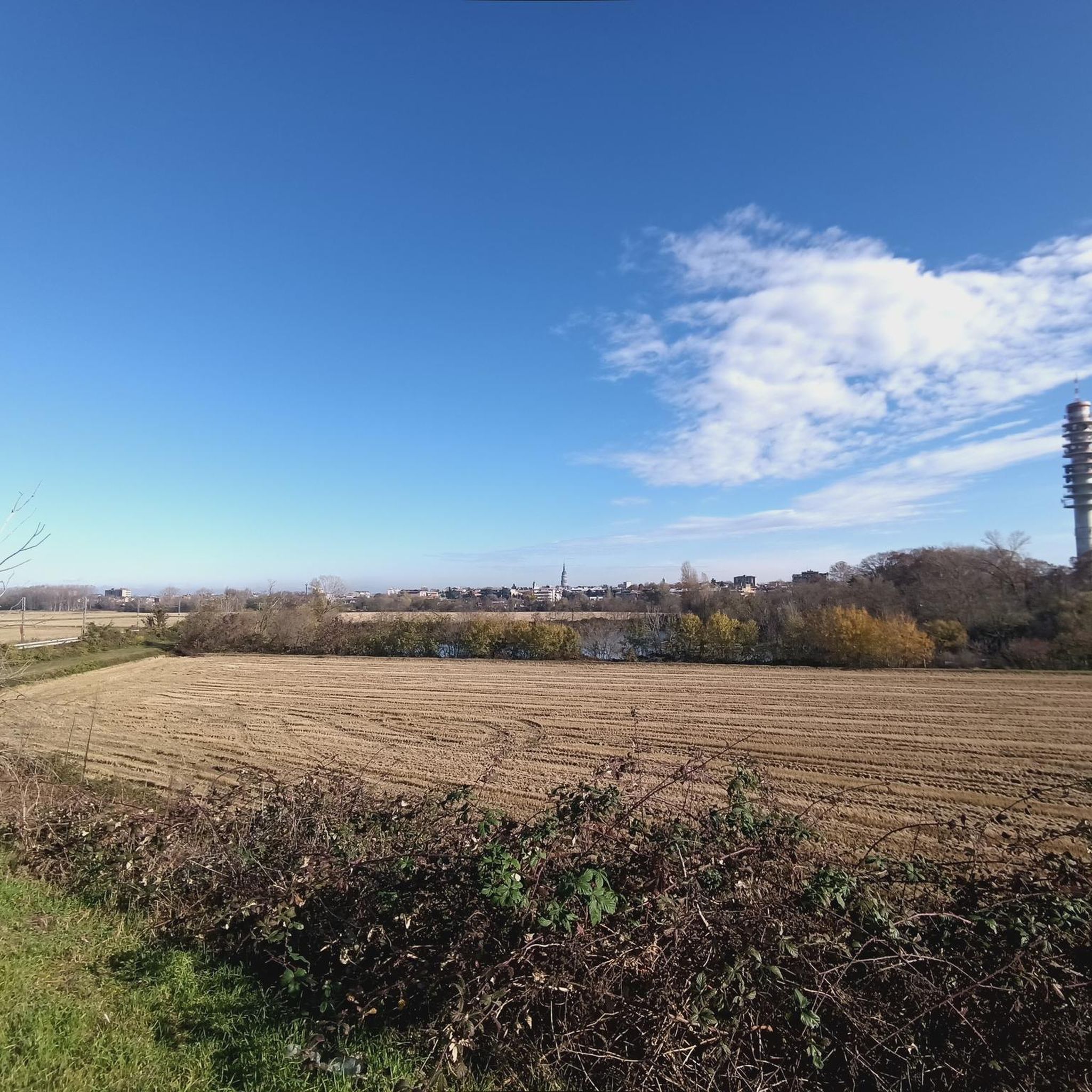
Road Cycling Routes in Riserva Naturale Speciale E Orientata Palude Di Casalbeltrame

Running Trails in Riserva Naturale Speciale E Orientata Palude Di Casalbeltrame
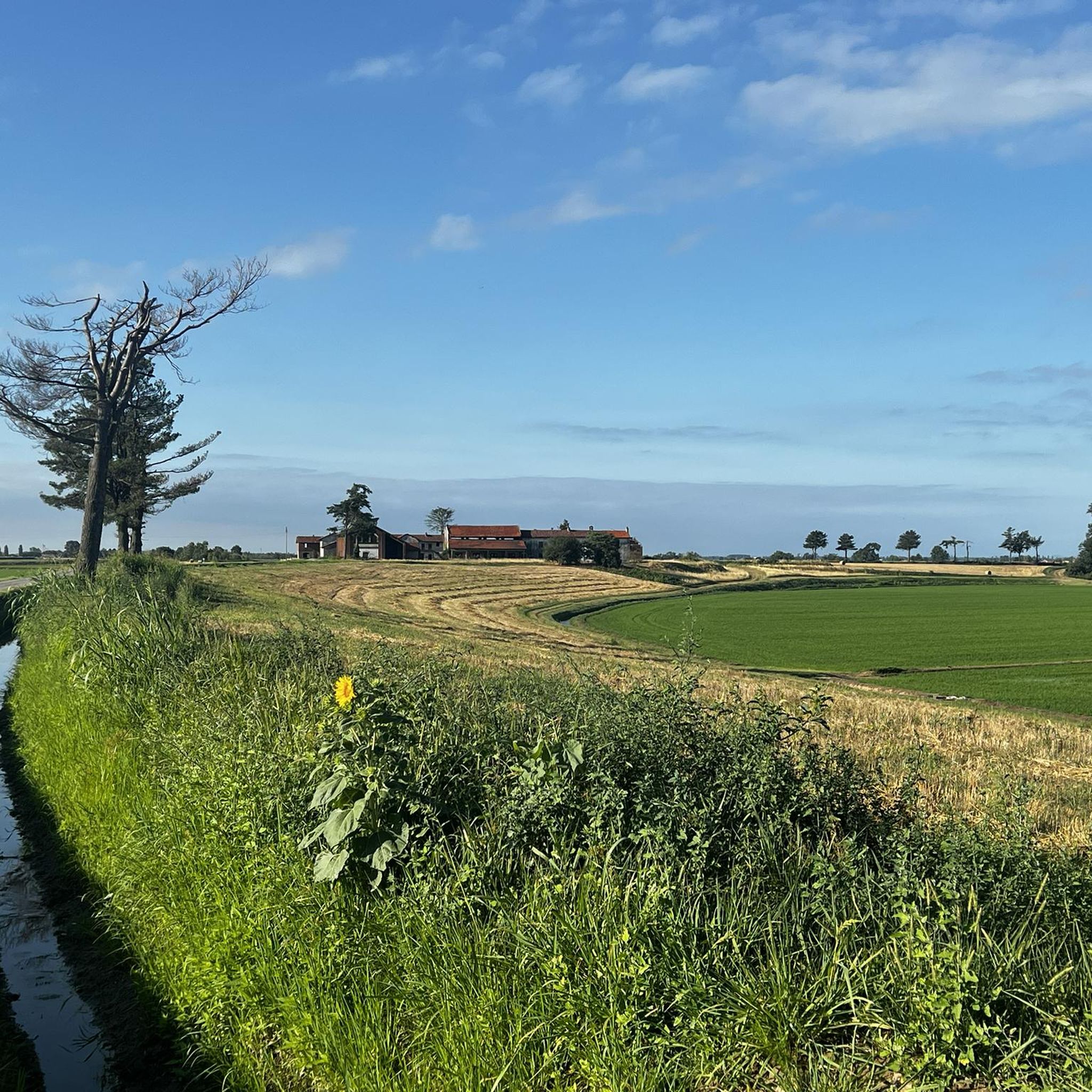
Cycling in Riserva Naturale Speciale E Orientata Palude Di Casalbeltrame
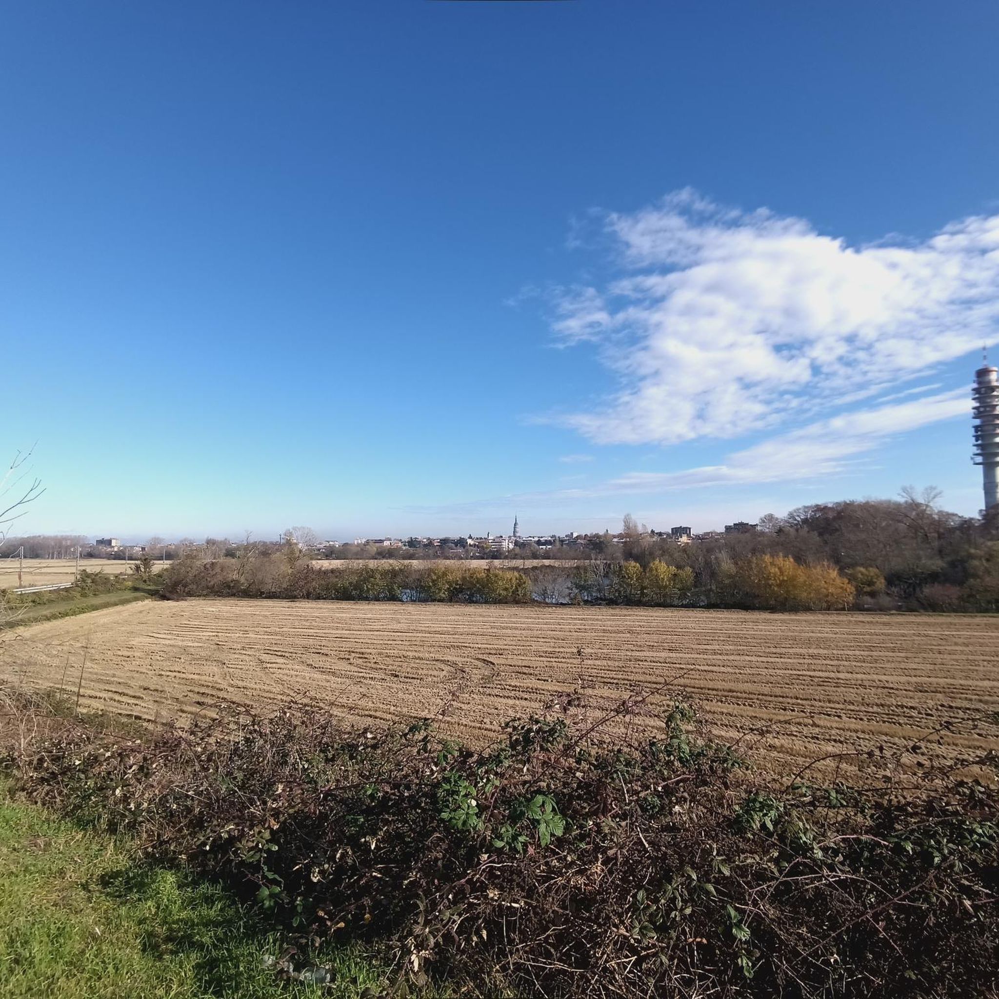
MTB Trails in Riserva Naturale Speciale E Orientata Palude Di Casalbeltrame

Gravel biking in Riserva Naturale Speciale E Orientata Palude Di Casalbeltrame
Tips from the Community

Small and enchanting church with a beautiful cloister inside
0
0

Between Greggio and San Nazzaro Sesia, the Cavour canal is about to enter the siphon that makes it pass under the Sesia river. Thanks to this little bridge-lock between the fields, it can be crossed with ease.
1
0

A water source runs through the church underground. Looking at the facade, on the right you can see the water flowing. Inside, behind the altar, you can see the underground source.
0
0

The Lame del Sesia park extends over an area of approximately 900 hectares along a stretch of almost 8 kilometers of the Sesia river, located between the provinces of Novara and Vercelli. The river environment, enriched by blades, meanders, bodies of water, woods, gravels and sands, constitutes an important natural oasis in stark contrast to the surrounding landscape characterized by rice monoculture.
2
0

Ancient monastery of Benedictine origin, today the complex can still be partially visited. The frescoes remaining in the church and cloister are very interesting. Ask the Municipality of San Nazzaro as you can also have guided tours
0
0
Canale Cavour is a nineteenth-century structure which served for Piedmontese agricultural development, in particular for the cultivation of rice
0
0
The park extends for approximately 900 hectares on a stretch of almost 8 kilometers of the Sesia river, straddling the border between the provinces of Novara and Vercelli. The environment of the Lame del Sesia park is typically fluvial with blades, meanders, bodies of water, woods, gravels and sands. A natural oasis in stark contrast to the surrounding landscape characterized by the predominance of rice monoculture. For info and visits: https://www.parcoticinolagomaggiore.com/it-it/aree-protette/servizi/parco-naturale-delle-lame-del-sesia
2
0

Canale Cavour, excellent portions of dirt roads.
2
0
Frequently Asked Questions
How many hiking trails are available in Riserva Naturale Speciale E Orientata Palude Di Casalbeltrame?
The reserve offers a variety of hiking options, with over 35 routes recorded on komoot. These trails traverse diverse landscapes, including marshlands, wooded sections, and surrounding rice fields, providing ample opportunities for exploration.
What kind of landscapes can I expect to see while hiking in the reserve?
Hikers will experience a unique blend of landscapes. The core features expansive marshlands with hygrophilous vegetation, bordered by small woods of willows, poplars, and oaks. Beyond this, you'll find vast rice fields that form a distinct agricultural buffer zone, offering varied scenery throughout your hike.
Are there any circular hiking routes in the Palude di Casalbeltrame reserve?
Yes, there are several circular routes available. For example, the Abbey of San Nazzaro loop from San Nazzaro Sesia is a popular moderate trail that takes you through agricultural land and near historical sites. Another option is the Hiking loop from San Nazzaro Sesia.
What are the typical difficulty levels of hikes in Riserva Naturale Palude Di Casalbeltrame?
The trails in the reserve are generally considered easy to moderate, with 19 easy and 16 moderate routes available. There is also one difficult route for those seeking a greater challenge. The terrain is largely flat with minimal elevation changes, making it accessible for various fitness levels.
Is Riserva Naturale Palude Di Casalbeltrame a good place for birdwatching and wildlife spotting?
Absolutely. The reserve is a renowned biodiversity hotspot, particularly famous for birdwatching. Hikers often spot numerous species of resident, nesting, and migratory aquatic birds, including purple herons, spoonbills, and storks. Observation huts, including a two-story observatory, are available to enhance your viewing experience.
Are dogs allowed on the hiking trails in the reserve?
As a protected natural area, regulations regarding dogs are typically strict to protect wildlife. It is generally recommended to keep dogs on a leash at all times, and some areas might be restricted. Always check local signage upon arrival for the most current rules regarding pets.
What is the best time of year to visit Riserva Naturale Palude Di Casalbeltrame for hiking?
Spring and autumn are generally the most pleasant seasons for hiking. During these times, the weather is mild, and the reserve's flora and fauna are particularly vibrant. Summer can be hot and humid, with a higher presence of insects, while winter offers a different, quieter perspective of the marshlands.
Are there facilities like observation huts or educational centers in the reserve?
Yes, the reserve is well-equipped to enhance the visitor experience. It features observation huts, including a unique two-story observatory that allows for viewing from both elevated positions and below water level. The reserve also serves as a hub for environmental education and research.
How can I get to Riserva Naturale Palude Di Casalbeltrame using public transport?
While specific public transport routes directly to the reserve can be limited, it's advisable to check regional bus services or train connections to nearby towns like Casalbeltrame or Novara. From there, you might need to arrange for a local taxi or consider cycling the remaining distance.
Where can I park my car when visiting the reserve for hiking?
The reserve has improved internal roads and access points, suggesting designated parking areas are available near the main entrances or visitor centers. Look for signage indicating official parking facilities upon arrival to ensure you are parking in an authorized location.
What do other hikers enjoy the most about hiking in Riserva Naturale Speciale E Orientata Palude Di Casalbeltrame?
The area is highly rated by the komoot community, with an average score of 4.0 stars from over 30 reviews. Reviewers often praise the serene marshlands, the unique experience of hiking through rice fields, and the abundant opportunities for birdwatching and wildlife observation.
Are the hiking trails suitable for families with children?
Many of the trails are suitable for families, especially the easier routes, due to the generally flat terrain and minimal elevation changes. The opportunity to observe diverse wildlife and visit observation huts can make for an engaging experience for children. Always check the specific route details for length and difficulty before heading out.
Can I combine hiking with cycling in the reserve?
While the focus of this guide is hiking, the reserve's flat terrain and network of internal pathways, including those through rice fields, can also be suitable for cycling. Some routes might be shared or adjacent to cycling paths, offering a chance to explore the area on two wheels as well.
Most popular routes in Riserva Naturale Speciale E Orientata Palude Di Casalbeltrame

Get inspired with the komoot mobile app


Explore more
Browse the best Hikes in other regions.
