The best MTB trails in Parco Delle Cascine Di Pioltello
4.2
(1401)
5,376
riders
257
rides
Mountain bike trails in Parco Delle Cascine Di Pioltello traverse an expansive natural landscape characterized by diverse terrain. The park, covering approximately 200 hectares, features agricultural plots, a rich network of watercourses including springheads and canals, and remnants of wooded areas. Dirt roads and paths are prevalent, making it suitable for off-road cycling. The area's flat topography and historical "cascine" (farmhouses) provide a unique backdrop for mountain biking.
Best mountain bike trails in Parco Delle Cascine Di Pioltello
- The most…
Last updated: July 12, 2026
4.0
(1)
9
riders
14.0km
00:50
30m
30m
Easy mountain bike ride. Great for any fitness level. Suitable for all skill levels.
4.2
(15)
79
riders
Easy mountain bike ride. Great for any fitness level. Suitable for all skill levels.

Sign up for free
19
riders
Hard mountain bike ride. Very good fitness required. Advanced riding skills necessary.
19
riders
Moderate mountain bike ride. Good fitness required. Suitable for all skill levels.
5.0
(14)
16
riders
Moderate mountain bike ride. Good fitness required. Suitable for all skill levels.
Get access to more routes and recommendations from other explorers.
Sign up for free
Already have an account?
Our route recommendations are based on thousands of hikes, rides, and runs completed by other people on komoot.
Start today with a free account
Your next adventure awaits.
Login or Signup


Tips from the Community

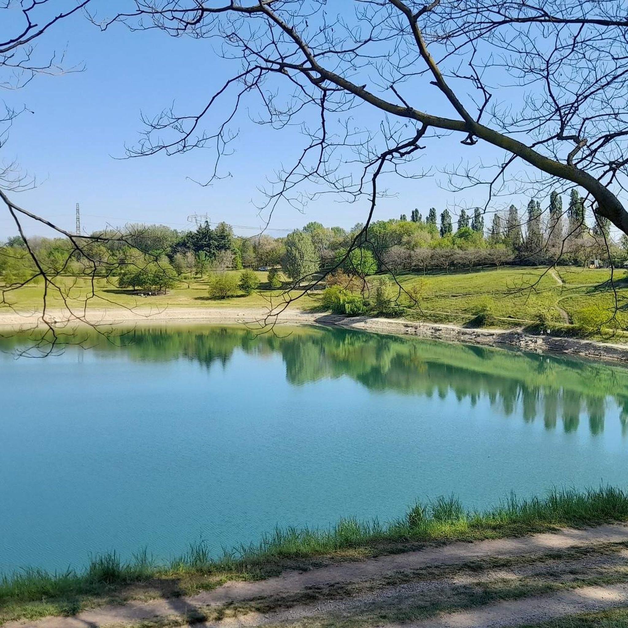
The world's longest recycled bench is located right in the greenery of Increa Park in Brugherio (Monza Brianza). Installed in 2010, it measures a full 25 meters. It is an eco-design work made entirely of recycled PVC (obtained from old roller shutters) and is itself 100% recyclable. The structure was donated by the local company Fumagalli and has become a much-loved attraction for enjoying the view of the park's small lake.
0
0

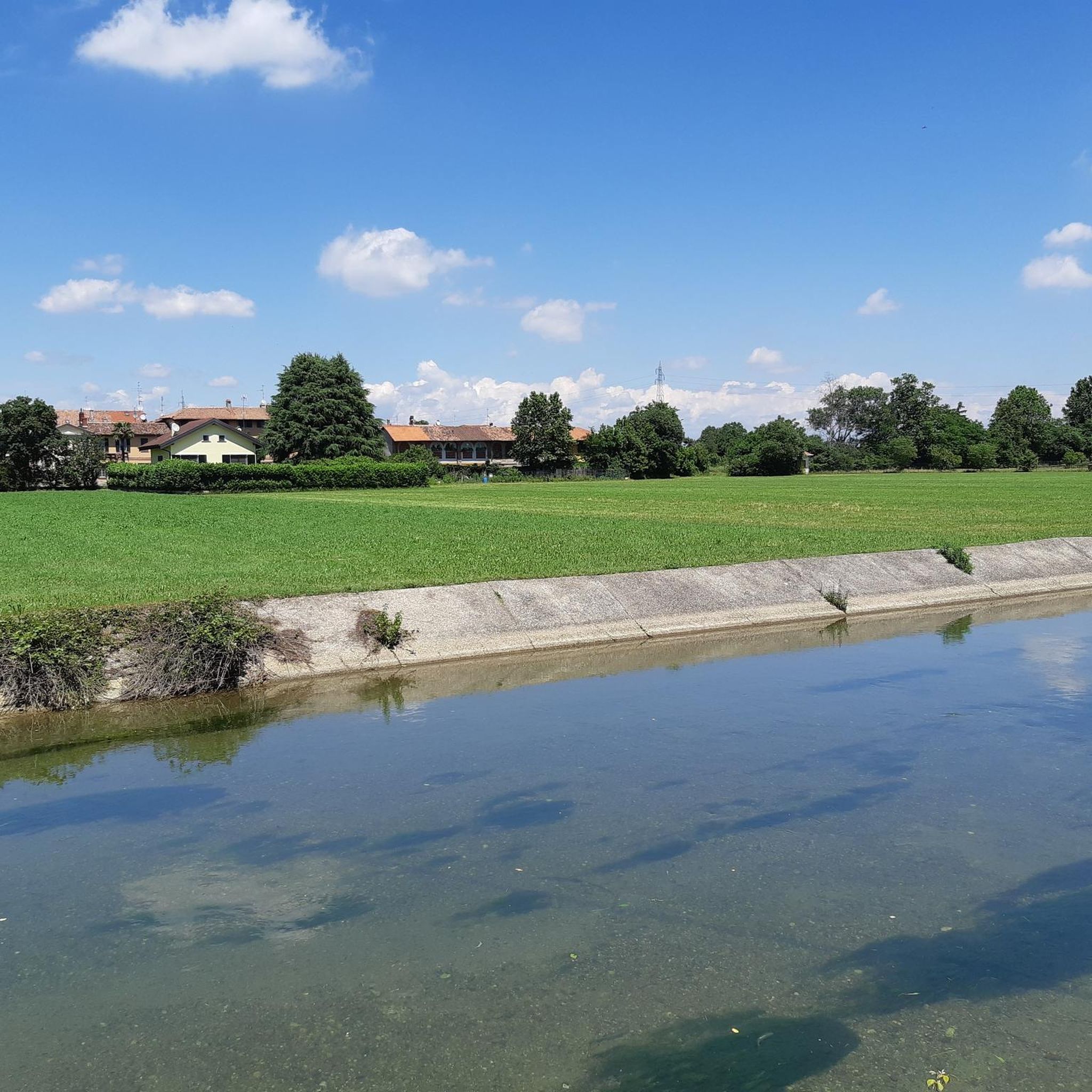
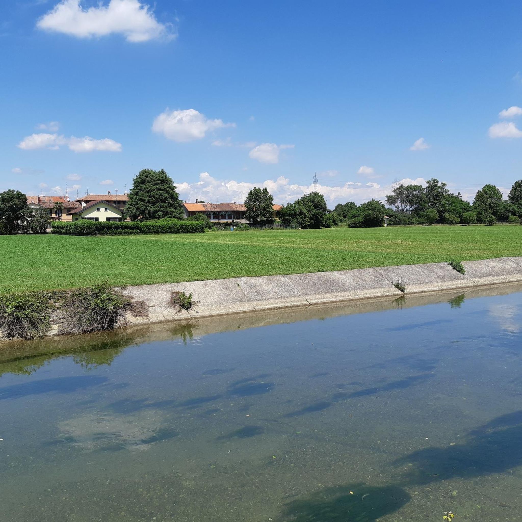
The Muzza Canal is the oldest in Europe and just this year, its 800th anniversary was celebrated by the Municipality of Paullo in collaboration with the Pro Loco and other Municipalities. Its origin dates back to the year 1220, when Frederick II of Swabia, crowned emperor of the Holy Roman Empire, issued an imperial edict that granted the people of Lodi the right to use the waters flowing within their territory. The current route, about 60 km long, receives the waters of the Adda River at Cassano d’Adda, at an altitude of 120 m above sea level, crosses the Lodi territory for about 40 km until near Castiglione d’Adda, at an altitude of 45 m above sea level, and here it releases them back into the Adda River. It has a regulated water regime, with a flow rate, depending on the season, of about 200 thousand liters of water per second; an initial width of 50 meters which reduces to a few meters at the end of its course and an average depth of 2 meters.
0
0
Down on the shore of Lake Increa
0
0
The Increa Park covers an area of approximately 330,000 sq m (33 hectares) in the southeastern part of the municipality of Brugherio and borders the municipality of Cernusco to the southeast and a stretch of the eastern ring road to the northwest. Where the park is today, there was once an agricultural area, which from the 1960s was the site of sand and gravel extraction activities; then, in 1985, thanks to the variant to the PRG and the agreement between the municipality of Brugherio and some private quarry owners, environmental recovery interventions began, aimed at the creation of a public equipped park including green areas and a small lake. In 1987 the area was acquired by the municipal heritage and in the following twenty years the works were carried out which have led today to having the largest green lung in Brugherio and the surrounding area.
1
0
The Increa Park covers an area of approximately 330,000 sq m (33 hectares) in the southeastern part of the municipality of Brugherio and borders the municipality of Cernusco to the southeast and a stretch of the eastern ring road to the northwest. Where the park is today, there was once an agricultural area that, from the 1960s, was the site of sand and gravel extraction activities; then, in 1985, thanks to the amendment to the PRG and the agreement between the municipality of Brugherio and some private quarry owners, environmental recovery interventions began, aimed at creating a public equipped park including green areas and a small lake. In 1987, the area was acquired by the municipal heritage and in the following twenty years, the works were carried out that have led today to the largest green lung in Brugherio and its surroundings.
1
0
The route runs alongside the Naviglio della Martesana, perhaps the least known among the ancient artificial canals connecting Milan to the great Lombard rivers. It originates from the Adda river in Concesa, a hamlet of Trezzo d’Adda, crosses the Martesana sub-region, north-east of the provincial capital, and once in the city, it plunges underground beneath via Melchiorre Gioia, near Cassina de’ Pomm. It measures approximately 38 km in length, with a width varying from 9 to 18 meters. However, at one time, the Naviglio della Martesana continued in the open air right into the center, where a system of locks centered on the Conca dell’Incoronata connected it to the short Naviglio di S. Marco and the urban ring of the Navigli. The lock was inaugurated in 1496, utilizing lock gates designed by Leonardo da Vinci. The canal had been opened in 1471, under Francesco Sforza. By connecting it to the other Navigli,
3
0
The small church of San Biagio, unique in its location, in a rural hamlet almost lost in the countryside of the upper Lodi area. The entire complex can be considered, in short, a general rehearsal for Bramante. The structures, absolutely innovative for the time, highlight the engineering knowledge typical of the architect. The oratory dedicated to San Biagio (Bishop of Sebaste and martyr) has a lower parallelepiped part with three apses and an octagonal upper part, with a row of round windows and another of blind rectangular windows. It is completed by a low tower that serves as a bell tower; the entire complex is made of terracotta and retains a classical Renaissance appearance of elegance and proportions.
0
0
The construction of the Naviglio Piccolo, later known as the Martesana, was started by Francesco Sforza in 1475 to transport along the route "grinding stones, oil presses, spinning mills, paper mills". It originates from the Adda, on the right bank, below the Castle of Trezzo and reaches Milan at Cascina de' Pomm, ending buried at San Marco. The Naviglio della Martesana, definitively completed in 1496 under the guidance of Ludovico il Moro, flows from Trezzo sull’Adda to Milan for a total length of 38 km. The route runs alongside the ancient Roman road that crossed the Adda with two branches: at Vaprio and at Cassano. Concurrently with the improvement of the agricultural structure thanks to irrigation, a notable flourishing of stately villas occurred in the Baroque era. The irrigation function of the Martesana marks the clear boundary between the dry plain, to the north, and the irrigated plain, to the south.
3
0
Frequently Asked Questions
How many mountain bike trails are available in Parco Delle Cascine Di Pioltello?
There are over 260 mountain bike trails in Parco Delle Cascine Di Pioltello, offering a wide range of options for different skill levels. The park's extensive network of dirt roads and paths makes it ideal for off-road cycling.
What is the general difficulty level of mountain bike trails in the park?
The trails in Parco Delle Cascine Di Pioltello cater to various skill levels. You'll find a good mix of routes, with over 100 easy trails, around 145 moderate trails, and a smaller selection of more challenging options. This variety ensures there's something for everyone, from beginners to experienced riders.
Are there any circular mountain bike routes in Parco Delle Cascine Di Pioltello?
Yes, many of the mountain bike routes in the park are circular. For example, the Muzza Canal Cycle Path – Muzza Canal loop from Cernusco sul Naviglio is a popular moderate circular path that explores the park's agricultural character alongside the canal.
What natural features can I expect to see while mountain biking in the park?
The park is characterized by a rich water network, including numerous active springheads ("fontanili"), canals, and the Naviglio Martesana. You'll also encounter extensive agricultural plots, primarily cultivating winter cereals, and remnants of wooded areas, particularly near the springheads. The Trail Along the Adda River – Martesana Canal loop from Cernusco sul Naviglio is a great way to experience the extensive water network.
Are there any historical landmarks or points of interest along the trails?
Yes, the park derives its name from the presence of numerous historic farmhouses, known as "cascine," which represent a notable architectural and historical heritage. These structures evoke the ancient agricultural roots of the Lombard irrigated plain and provide unique scenic backdrops for your ride.
Is Parco Delle Cascine Di Pioltello suitable for family mountain biking?
Yes, the park offers many easy trails that are suitable for families. The relatively flat topography and well-maintained dirt paths make it an accessible destination for riders of all ages. Look for routes with lower elevation gains for a more relaxed family outing.
Can I bring my dog on the mountain bike trails?
While the guide does not specify dog-friendly rules, generally, parks in Italy allow dogs on trails if kept on a leash. It's always best to check local signage or the park's official website for specific regulations regarding pets to ensure a pleasant experience for everyone.
What do other mountain bikers enjoy most about the trails here?
The area is highly rated by the komoot community, with an average score of 4.2 stars from over 1100 reviews. Riders often praise the diverse terrain, the peaceful natural environment, and the extensive network of paths that allow for varied routes. The connection to broader cycling networks like the Martesana Cycle Path is also a highlight for many.
Are there any trails that go through wooded areas?
Yes, while much of the park is agricultural, there are remnants of wooded areas, especially near the springheads. The Carengione Wood – Idroscalo of Milan loop from Cernusco sul Naviglio is an excellent example, leading through wooded sections and open spaces.
How can I reach Parco Delle Cascine Di Pioltello using public transport with my bike?
The park is integrated into a wider network of cycling paths, including connections with the Martesana Cycle Path. While specific public transport options for bikes aren't detailed, the "Ciclopolitana di Pioltello" initiative aims to connect various park areas, suggesting good accessibility. Check local public transport services for bike carriage policies to nearby towns like Pioltello or Cernusco sul Naviglio.
Are there places to eat or stay near the mountain bike trails?
The guide does not provide specific recommendations for cafes, pubs, or accommodation directly within the park. However, given its proximity to municipalities like Pioltello and Cernusco sul Naviglio, you will likely find various dining and lodging options in these nearby towns.
What is a good moderate trail for an intermediate mountain biker?
For an intermediate mountain biker, the Martesana Canal Cycle Path – Idroscalo of Milan loop from Cernusco sul Naviglio offers a moderate challenge. This 41.5 km route features a balanced elevation gain and takes approximately 2 hours and 15 minutes to complete, providing a good workout while exploring the area.
Most popular routes in Parco Delle Cascine Di Pioltello

Get inspired with the komoot mobile app


Explore more
Browse the best MTB trails in other regions.
