The best cycling routes in Monumento Naturale Altopiano Di Cariadeghe
4.4
(777)
12,384
riders
254
rides
Touring cycling in Monumento Naturale Altopiano Di Cariadeghe is characterized by its distinctive karst landscape, featuring numerous sinkholes and unique rock formations. The region offers a varied network of trails and dirt roads that wind through dense woodlands of beech, chestnut, and hornbeam, interspersed with green meadows. Cyclists can expect gentle ascents and descents, exploring an environment shaped by water interaction with rock over time. This natural monument provides diverse terrain suitable for various cycling experiences.
Best touring cycling routes…
Last updated: July 8, 2026
19
riders
29.5km
03:31
1,260m
1,260m
Hard bike ride. Very good fitness required. You may need to push your bike for some segments of this route.
14
riders
19.8km
01:57
500m
500m
Hard bike ride. Very good fitness required. Mostly paved surfaces. Suitable for all skill levels.

Sign up for free
5.0
(4)
27
riders
18.7km
01:44
530m
530m
Hard bike ride. Very good fitness required. Mostly paved surfaces. Suitable for all skill levels.
17
riders
Hard bike ride. Very good fitness required. Mostly paved surfaces. Suitable for all skill levels.
11
riders
22.2km
01:20
170m
170m
Moderate bike ride. Good fitness required. Mostly paved surfaces. Suitable for all skill levels.
Get access to more routes and recommendations from other explorers.
Sign up for free
Already have an account?
Our route recommendations are based on thousands of hikes, rides, and runs completed by other people on komoot.
Start today with a free account
Your next adventure awaits.
Login or Signup
Popular around Monumento Naturale Altopiano Di Cariadeghe
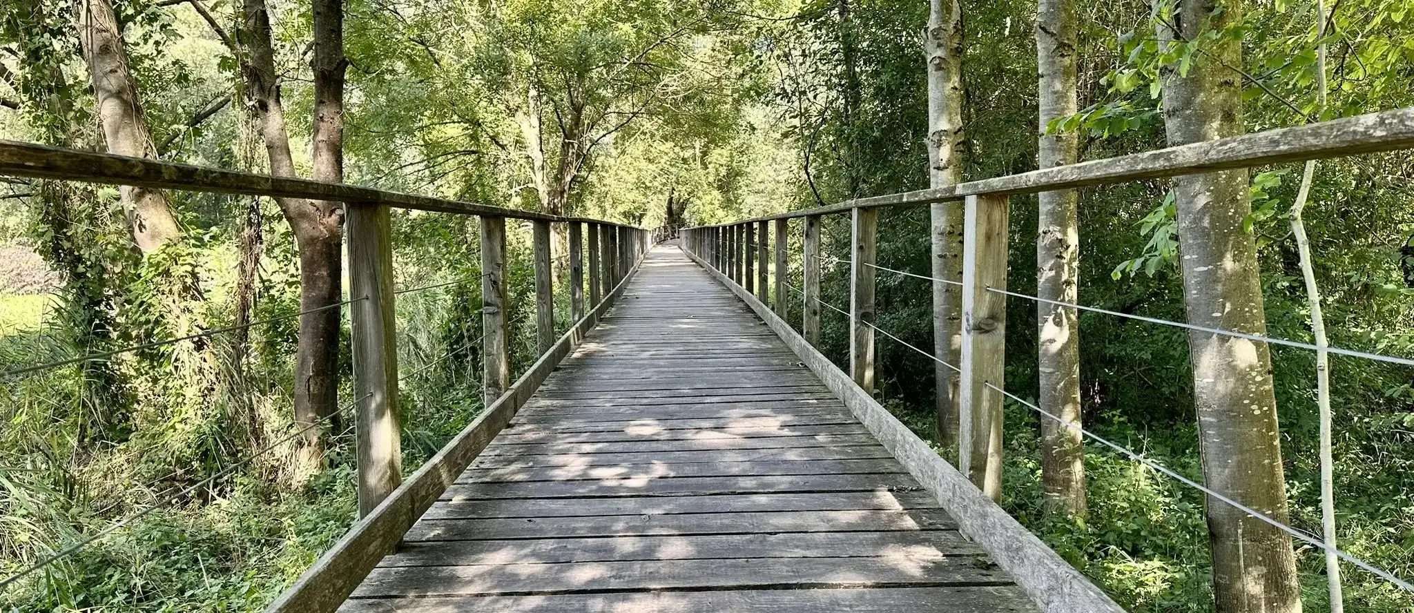
Anello Valsabbino - Trekking between the villages of Val Sabbia
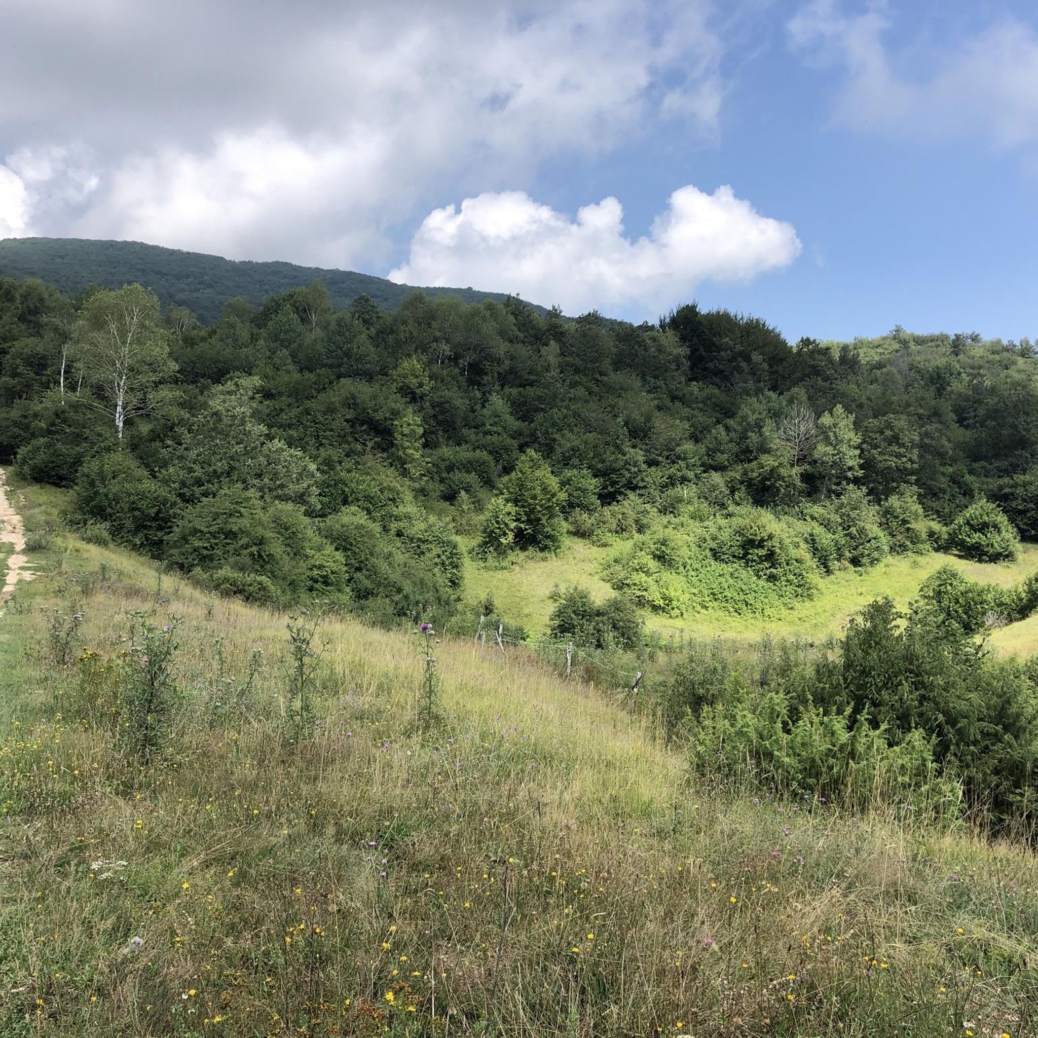
Road Cycling Routes in Monumento Naturale Altopiano Di Cariadeghe
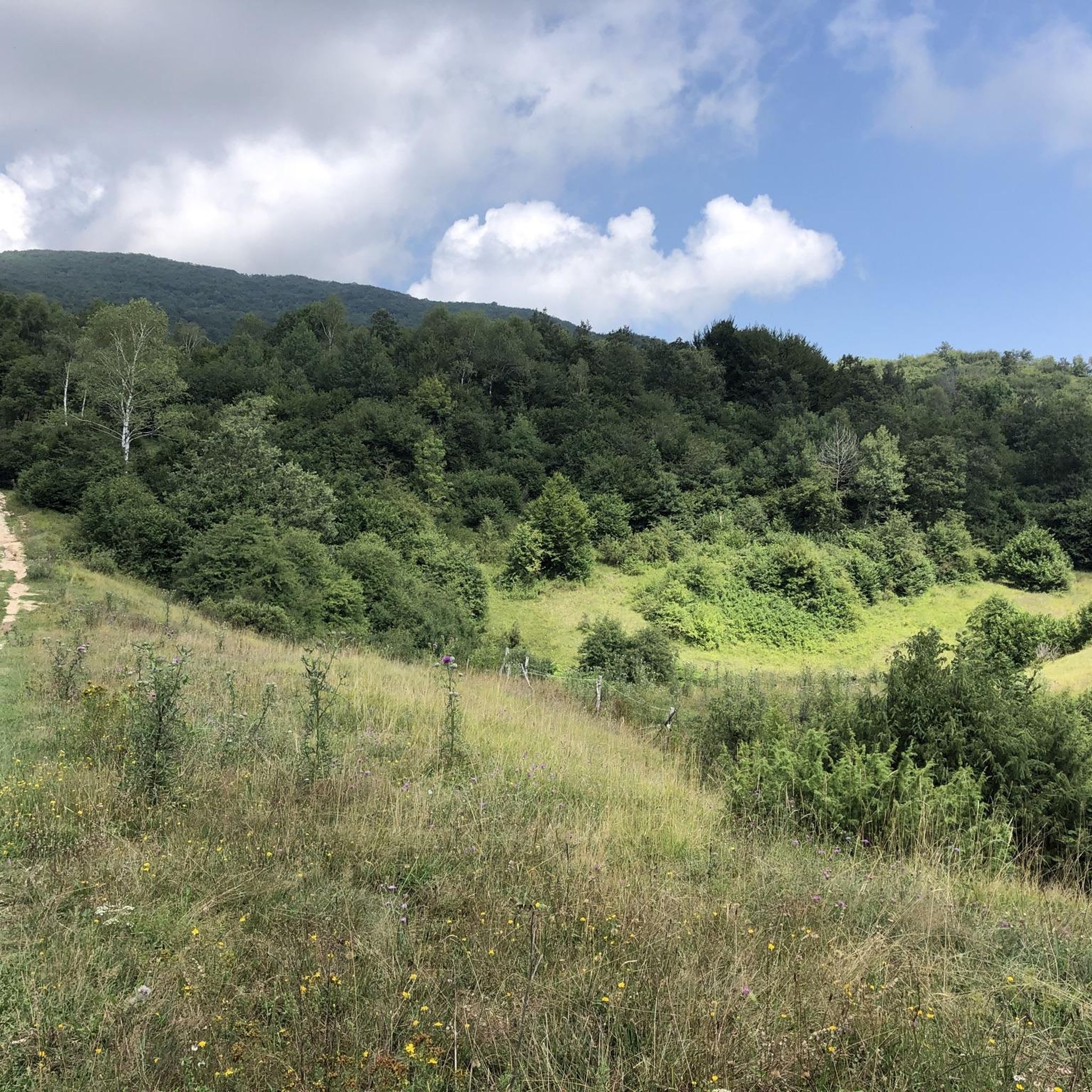
Hiking in Monumento Naturale Altopiano Di Cariadeghe
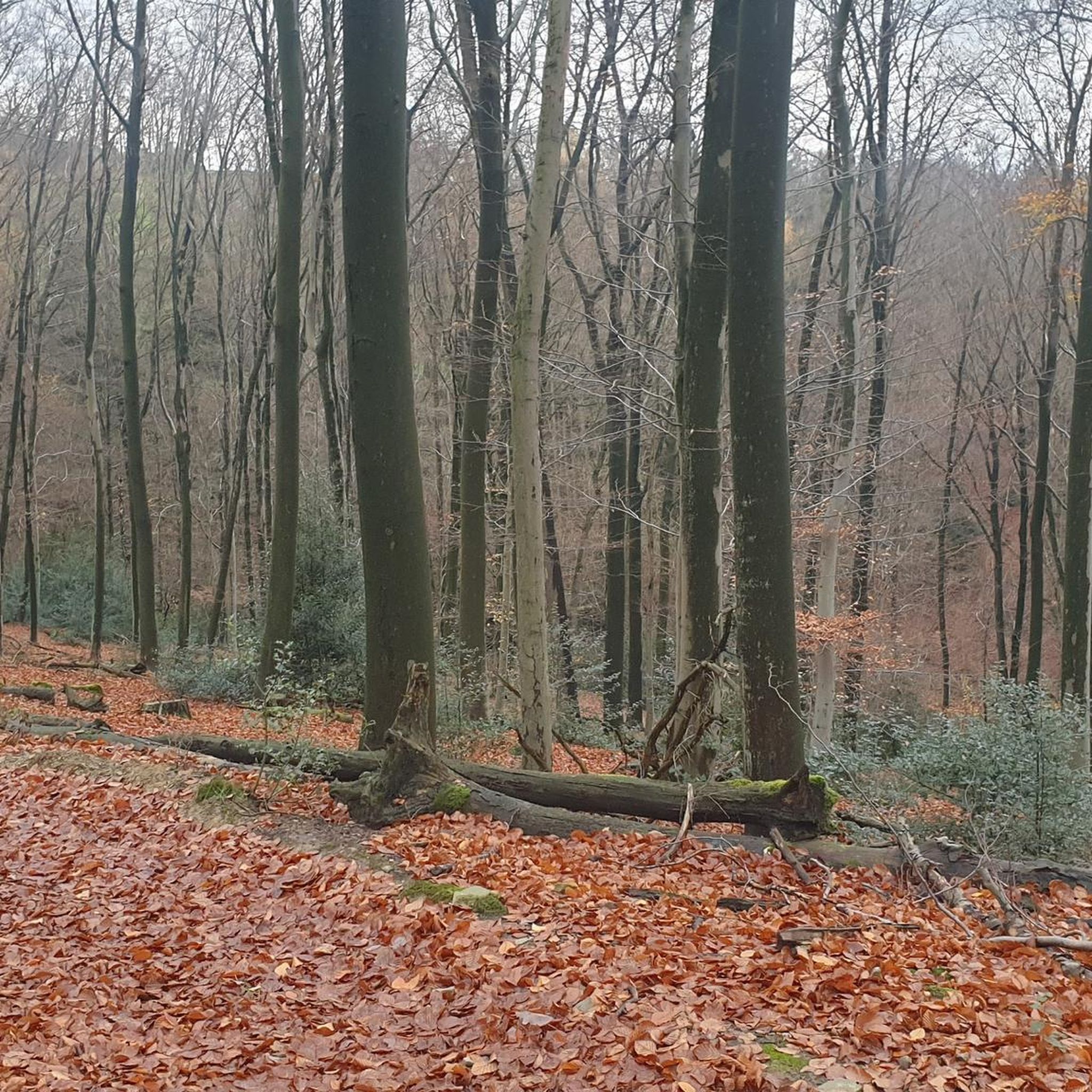
Gravel biking in Monumento Naturale Altopiano Di Cariadeghe
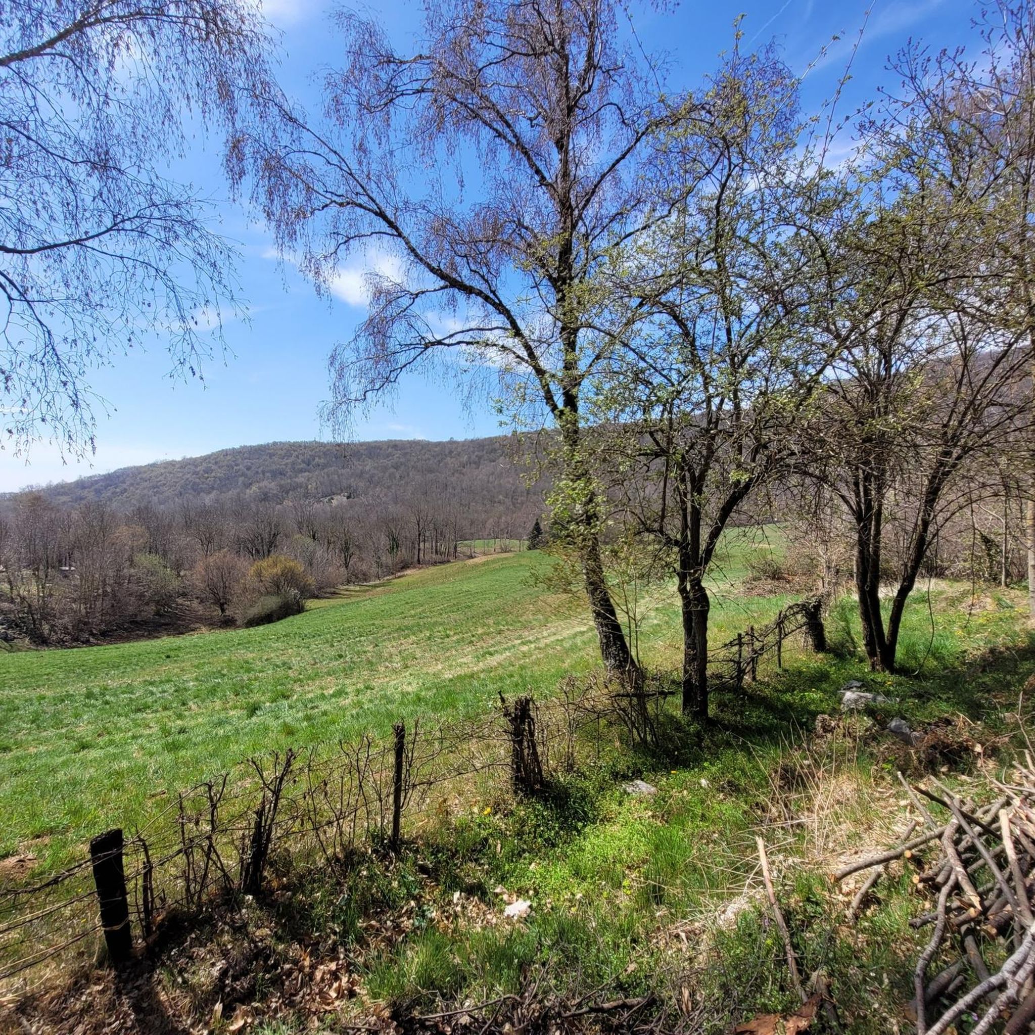
MTB Trails in Monumento Naturale Altopiano Di Cariadeghe
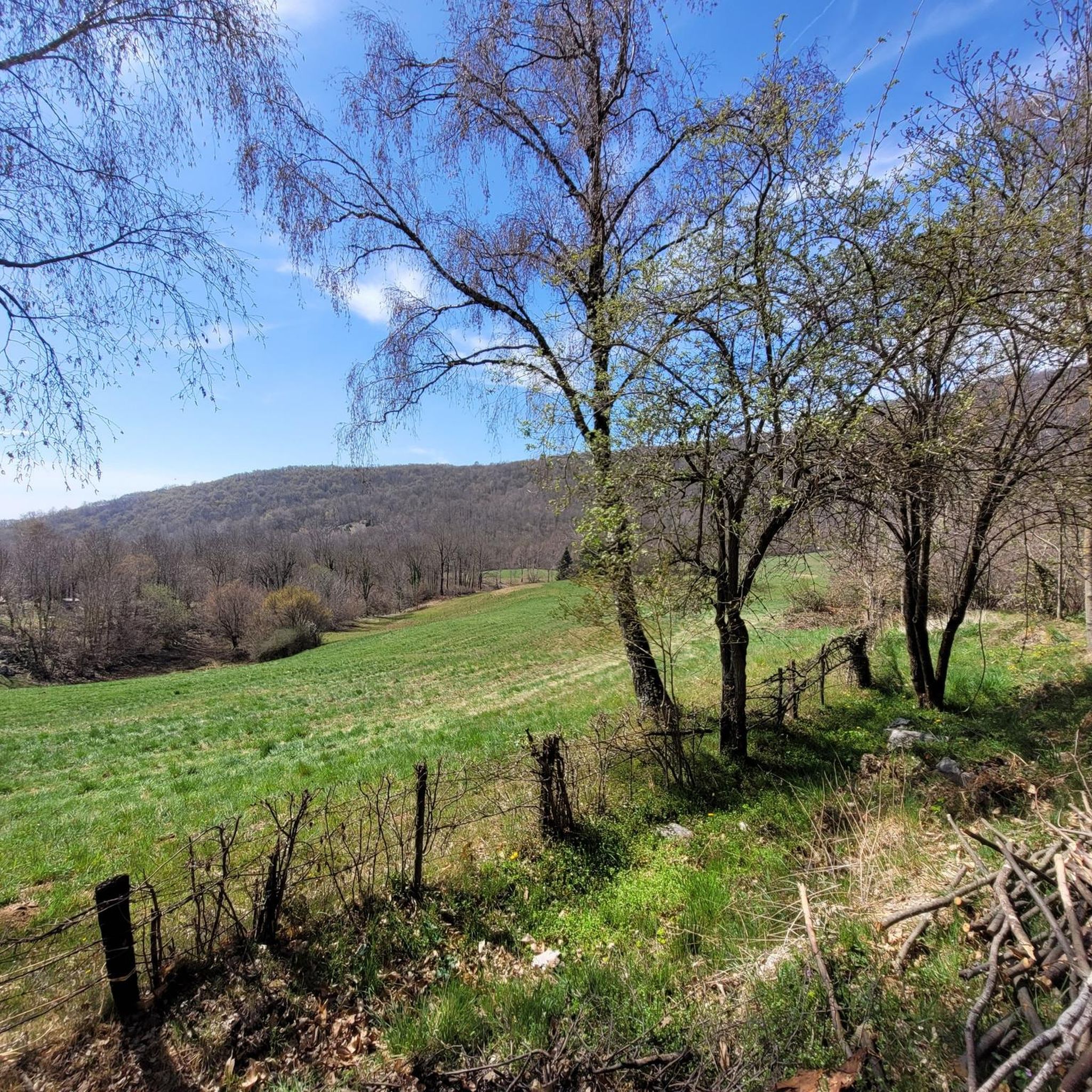
Running Trails in Monumento Naturale Altopiano Di Cariadeghe
Other adventures in Monumento Naturale Altopiano Di Cariadeghe

Tips from the Community

runs along the irrigation channel but unfortunately also the ring road!
0
0

beautiful, but the quiet one has the name...better I had to make a demanding cut, for the rest very panoramic cemented
0
0

A very picturesque old town center with beautiful squares and alleyways. Some parts date back to the Middle Ages.
4
0

particular square on one side stands a long portico, once the site of the market
0
0

Polpenazze of Garda
0
0

Fallow deer breeding
0
0
Frequently Asked Questions
How many touring cycling routes are available in Monumento Naturale Altopiano Di Cariadeghe?
Monumento Naturale Altopiano Di Cariadeghe offers a wide selection of touring cycling routes, with over 230 options available. These routes cater to various skill levels, from easy paths to more challenging trails.
What kind of terrain can I expect when cycling in Monumento Naturale Altopiano Di Cariadeghe?
The region is characterized by its distinctive karst landscape, featuring numerous sinkholes (doline) and unique rock formations. Cyclists will navigate a varied network of trails and dirt roads that wind through dense woodlands of beech, chestnut, and hornbeam, interspersed with green meadows. Expect gentle ascents and descents, often referred to as 'saliscendi', as you explore this unique environment.
Are there touring cycling routes suitable for beginners or families?
Yes, the Altopiano di Cariadeghe offers routes suitable for various ability levels, including options marked as 'Family'. Many trails feature mild undulations and minimal elevation changes, making them traversable without particular difficulty. For example, the area around Pozza del Ruchì is a great starting point for numerous forest trails that can be enjoyed by families.
What are some options for more experienced touring cyclists looking for a challenge?
Experienced touring cyclists can find more challenging and technical variants within the network. Routes like the difficult Passo del Cavallo – Sentiero Pasotti Augusto loop from Caino offer significant elevation gain and varied terrain. Another demanding option is the Località Casinetto – Altopiano di Cariadeghe loop from Serle, which explores the heart of the plateau with its unique karst features.
Are there any circular touring cycling routes in the area?
Yes, many of the touring cycling routes in Monumento Naturale Altopiano Di Cariadeghe are designed as loops, allowing you to start and end at the same point. Examples include the Fallow Deer Farm – Waterwheel Roundabout loop from Caino, which takes you through woodlands and open areas, and the Vallio Terme – Colle Sant'Eusebio loop from Caino.
What natural features or landmarks can I see along the touring cycling routes?
The routes wind through a landscape rich in natural and historical features. You can explore the unique karst topography with its sinkholes and 'solcate fields'. Notable landmarks include the serene Prato della Carlina, known as 'the enchanted valley', and the historic Monastery of San Bartolomeo in Serle, offering panoramic views from Mount Orsino. Don't miss Pozza del Ruchì, the largest pool on the plateau, known for its wildlife.
Are there any specific viewpoints or scenic spots worth visiting by bike?
Absolutely. From Mount Orsino, where the Monastery of San Bartolomeo in Serle is located, you can enjoy extensive panoramic views across half the province. Mount Ucia, at 1168 meters above sea level, is the highest point on some longer ring routes and also offers expansive vistas. The entire plateau, with its dense woodlands and green meadows, provides stunning scenery, especially during autumn.
Where can I park my car when visiting Monumento Naturale Altopiano Di Cariadeghe for cycling?
The Altopiano di Cariadeghe is easily accessible from the highest fraction of Serle, Villa (673m asl). Parking is available near the Alpini house and a small church, which serves as a convenient gateway to the Natural Reserve and its cycling trails.
What is the best time of year to go touring cycling in Monumento Naturale Altopiano Di Cariadeghe?
The region offers appealing cycling conditions throughout much of the year. The dense woodlands provide shade in warmer months, while the autumn brings stunning colors, creating an 'enchanted valley' atmosphere. Spring and early summer are also excellent for enjoying the lush greenery and milder temperatures. Always check local weather conditions before heading out.
What do other touring cyclists enjoy the most about touring cycling in Monumento Naturale Altopiano Di Cariadeghe?
The area is highly rated by the komoot community, with an average score of 4.4 stars from over 800 reviews. Reviewers often praise the unique karst landscape, the tranquility of the dense woodlands, and the varied network of trails that cater to different skill levels. The natural beauty and the sense of exploration through its 'saliscendi' terrain are frequently highlighted.
Are there places to stop for refreshments or rest during a touring cycling trip?
Yes, the Alpini Mountain Hut, Serle, located on the plateau, provides a perfect stop for refreshments and a break during your ride. Additionally, the territory is dotted with numerous rural buildings, some of which are quite beautiful and offer picturesque spots for a self-catered picnic.
Can I find routes that follow rivers or have water features?
While the region is known for its karst features and underground water systems, you can find routes that incorporate surface water features. For instance, the Chiese River Cycle Path – Bridge of Villanuova sul Clisi loop from Vallio Terme offers a moderate ride that includes sections along the Chiese River. Within the plateau, Pozza del Ruchì is a significant pool adorned with water lilies in summer.
Most popular routes in Monumento Naturale Altopiano Di Cariadeghe
Most popular attractions in Monumento Naturale Altopiano Di Cariadeghe

Get inspired with the komoot mobile app


Explore more
Browse the best Cycling routes in other regions.
