The best road cycling routes in Riserva Naturale Piano Degli Ontani
4.1
(41)
842
riders
30
rides
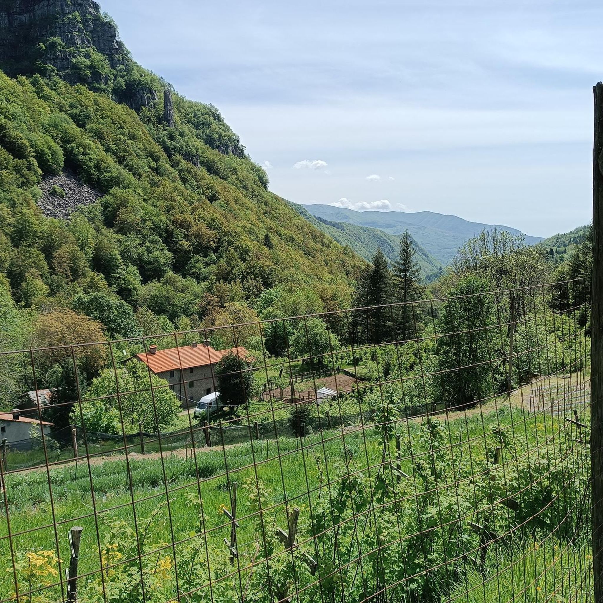
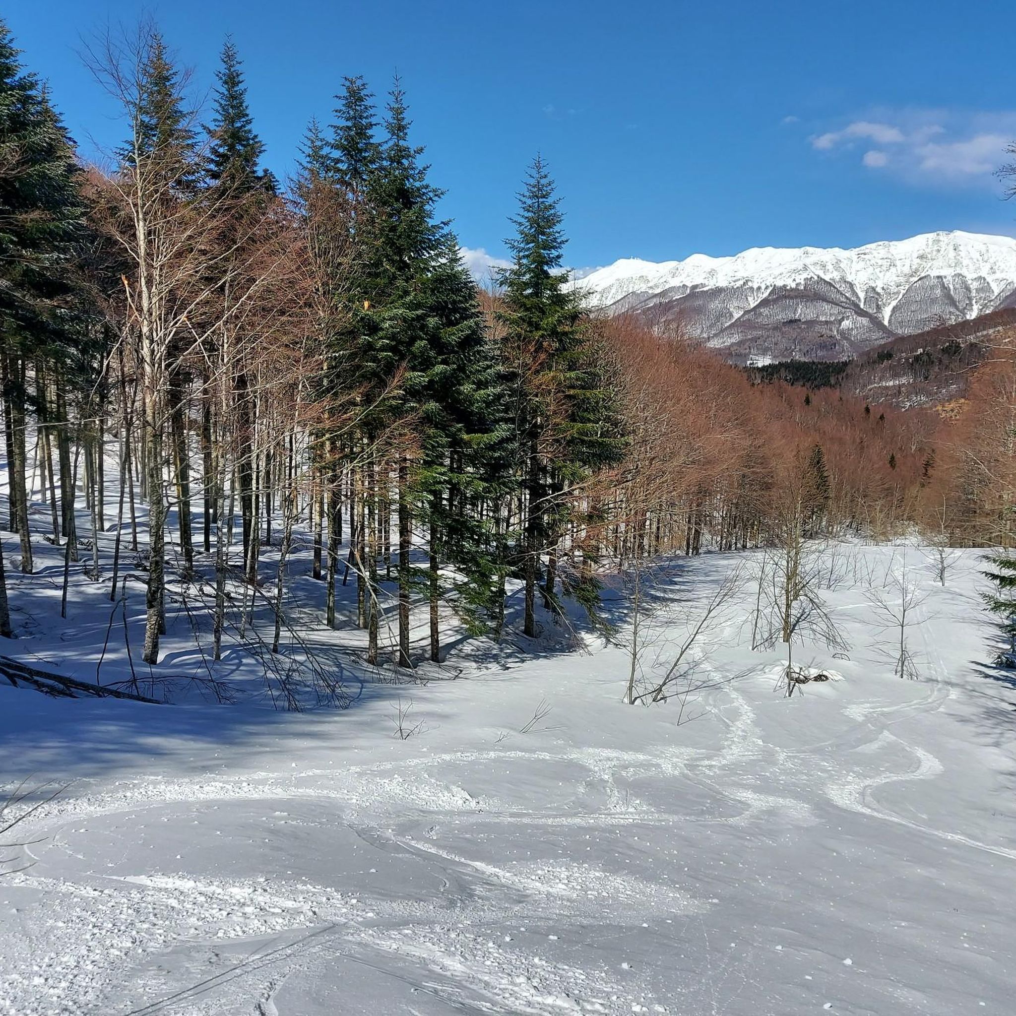
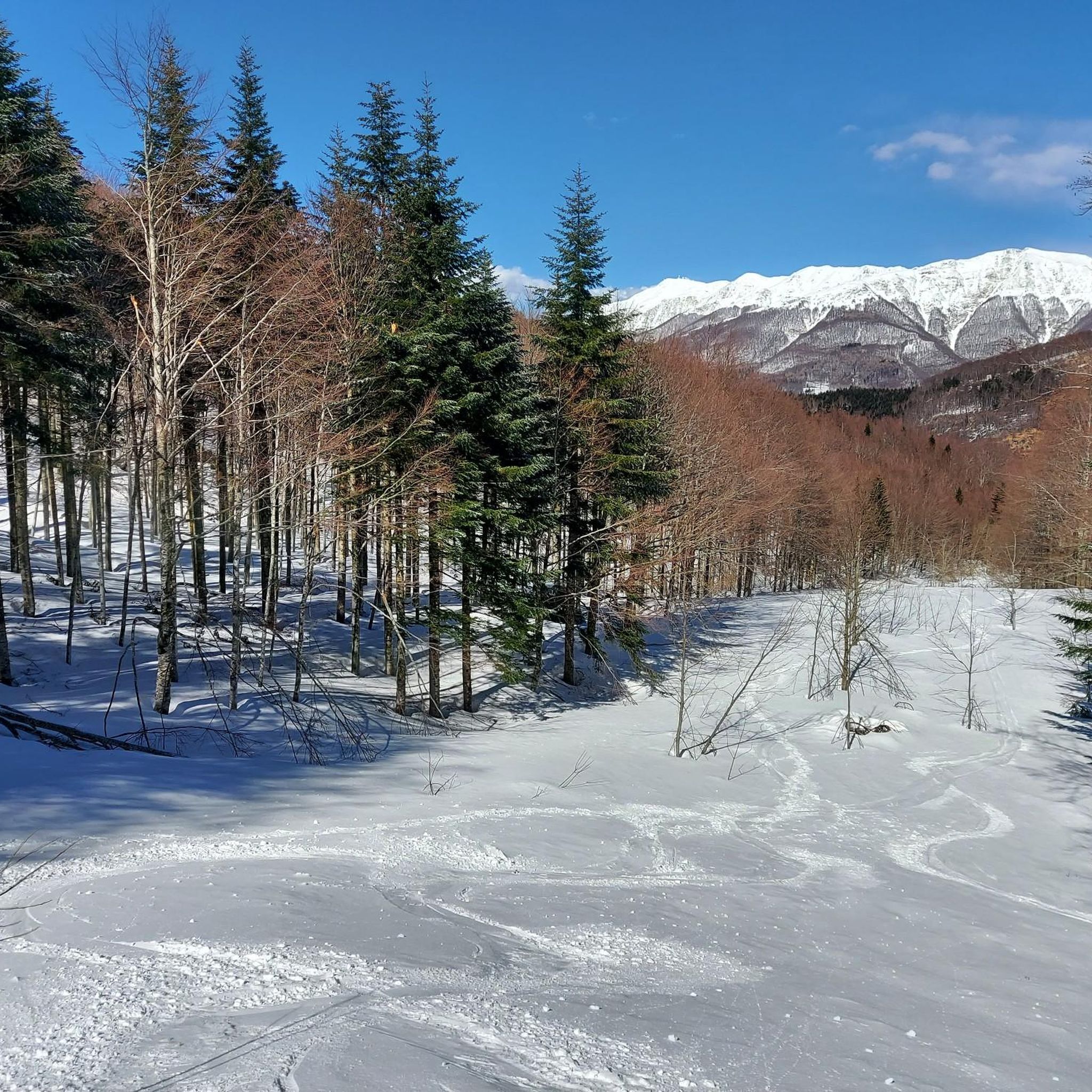
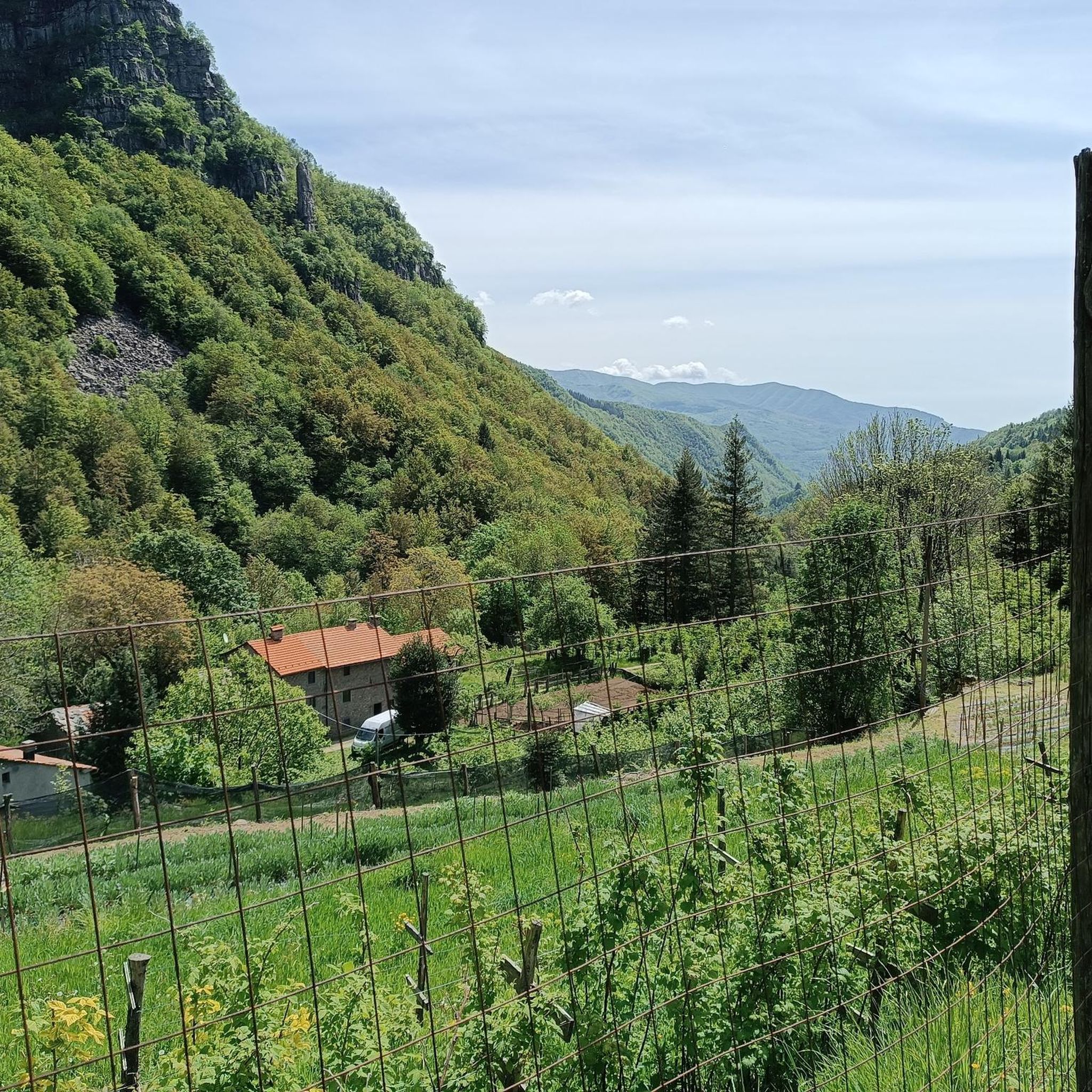
Road cycling in Riserva Naturale Piano Degli Ontani traverses the Pistoia Mountains within the Tuscan Apennines, characterized by altitudes ranging from 1,100 to 1,800 meters. The terrain features extensive beech forests, mixed mesophilic woods, and high-altitude ridge prairies. Cyclists will encounter a scenic ridge with open areas and meadows, with peaks such as Poggione (1761 m) and Monte Uccelliera (1656 m). The area generally presents a moderate and consistent incline.
Best road cycling routes in Riserva Naturale Piano Degli Ontani
…Last updated: July 9, 2026
4.3
(4)
88
riders
46.8km
02:37
1,010m
1,010m
Hard road ride. Very good fitness required. Mostly well-paved surfaces and easy to ride.
10
riders
29.3km
01:59
930m
930m
Hard road ride. Very good fitness required. Mostly well-paved surfaces and easy to ride.

Sign up for free
4.5
(2)
52
riders
43.5km
02:45
1,230m
1,230m
Hard road ride. Very good fitness required. Mostly well-paved surfaces and easy to ride.
3.0
(1)
51
riders
51.5km
03:11
1,430m
1,430m
Hard road ride. Very good fitness required. Mostly well-paved surfaces and easy to ride.
13
riders
81.5km
05:35
2,180m
2,180m
Hard road ride. Very good fitness required. Some segments of this route may be unpaved and difficult to ride.
Get access to more routes and recommendations from other explorers.
Sign up for free
Already have an account?
Our route recommendations are based on thousands of hikes, rides, and runs completed by other people on komoot.
Start today with a free account
Your next adventure awaits.
Login or Signup
Popular around Riserva Naturale Piano Degli Ontani


Tips from the Community

great view with more time to visit the town too
0
0

Update as of 04/07/2026: The bar/restaurant is closed
0
0

Prunetta is a characteristic mountain hamlet located at almost 1,000 meters above sea level in the municipality of San Marcello Piteglio, within the evocative Montagna Pistoiese in Tuscany. The village has about 300 inhabitants and is a place known for summer tourism, trekking, and its particular geographical position.
0
0

From whichever side, a very beautiful, lonely ascent or descent. However, it is quite neglected due to the abandoned hotel ruin, at least as of May 2026.
1
0

In summer, the town is crossed by regional road 66, which, after 3 km in La Lima, intersects with the SS.12 towards Abetone, where many people head on weekends in search of cool air and the many marked trails on the ridge.
1
0

Liturgical place kept in perfect conditions.
11
0

Great pass, recommended to climb
0
0

An ideal stop for cyclists passing through Lima. The Church of San Pablo Apostol is an elegant example of modern religious architecture, surrounded by wide and well-paved streets. There are a few cafes nearby for a quick and shaded stop. During the hottest hours, this area also offers good shade.
4
0
Frequently Asked Questions
What kind of terrain and elevation can I expect when road cycling in Riserva Naturale Piano Degli Ontani?
Road cycling in Riserva Naturale Piano Degli Ontani takes you through a stunning mountain Appenine landscape, with altitudes ranging from 1,100 to 1,800 meters. You'll encounter extensive beech forests, mixed mesophilic woods, and high-altitude ridge prairies. The terrain generally features a moderate and consistent incline, offering a good challenge for cyclists.
Are there road cycling routes suitable for different difficulty levels in Riserva Naturale Piano Degli Ontani?
Yes, the reserve offers a range of road cycling routes. While there are no easy routes, you'll find 11 moderate routes and 21 difficult routes. This variety ensures options for cyclists looking for either a steady ride or a more challenging ascent through the mountains.
What are some notable natural features or landmarks I might see along the road cycling routes?
As you cycle, you'll pass through monumental beech forests and along scenic ridges with open areas and meadows. Specific points of interest include the high-altitude meadow of Prato Bellincioni and the Pian di Novello Forest Road, known for its dense undergrowth. You might also spot peaks like Poggione and Pizzo Alpestre.
Are there any specific routes that showcase the dense forests of the reserve?
Absolutely. The View of Cutigliano – Pian di Novello Forest Road loop from Cutigliano is an excellent choice. This 37.8 km trail leads directly through the dense undergrowth along the Pian di Novello Forest Road, allowing you to immerse yourself in the ancient woodlands.
What do other road cyclists enjoy most about cycling in Riserva Naturale Piano Degli Ontani?
The area is highly rated by the komoot community, with an average score of 4.3 stars from over 40 reviews. Cyclists often praise the beautiful natural surroundings, the challenging yet rewarding inclines, and the opportunity to explore the monumental beech forests and scenic mountain ridges.
Is Riserva Naturale Piano Degli Ontani suitable for family-friendly road cycling?
While the reserve features moderate to difficult routes, some paths are easily accessible and include picnic areas and water points, such as the area around the Orto di Giovannino Spring. For families with younger children or those seeking less strenuous rides, it's advisable to check individual route details for elevation and distance to ensure suitability.
Can I find routes that offer panoramic views of the Tuscan Apennines?
Yes, many routes provide stunning vistas. The Ponte Maggio – View of Cutigliano loop from Cutigliano, for instance, offers beautiful views of the surrounding Appenine scenery and forests. The higher elevations and ridge prairies also provide open areas with expansive views.
What is the best time of year for road cycling in Riserva Naturale Piano Degli Ontani?
The extensive beech forests provide ample shade, making cycling pleasant even during warmer months. However, the region's mountain characteristics suggest that spring and autumn offer ideal conditions with milder temperatures and vibrant foliage. Always check local weather forecasts before your ride.
Are there any long and challenging road cycling routes for experienced riders?
For experienced riders seeking a significant challenge, the View of Cutigliano – Abetone Pass loop from Cutigliano is a demanding option. This difficult route covers over 63 km with nearly 2000 meters of elevation gain, offering a rigorous and rewarding experience.
Are there any unmanaged refuges along the cycling routes where I can find water or shelter?
Yes, the region research mentions unmanaged refuges like Rifugio Lippi (Lagacciolo) and Rifugio Cecchini, the latter of which offers a fresh water source. These can be useful stops, particularly on longer rides through the Biogenetic Forest.
What kind of wildlife might I encounter while cycling in the reserve?
The reserve is home to a variety of wildlife. While cycling, you might spot deer, roe deer, foxes, martens, and various bird species such as buzzards and woodpeckers, adding to the natural experience.
Is it possible to combine road cycling with exploring other attractions in the area?
Absolutely. Many routes pass near or offer access to points of interest. For example, you could cycle past the Monument to the XI Zone "Pippo". The reserve also features easily accessible paths with didactic panels, allowing for a blend of cycling and exploration.
Most popular routes in Riserva Naturale Piano Degli Ontani
Most popular attractions in Riserva Naturale Piano Degli Ontani

Get inspired with the komoot mobile app


Explore more
Browse the best Road cycling routes in other regions.
