The best road cycling routes in Parco Regionale Del Beigua
4.7
(55)
1,210
riders
41
rides
Road cycling routes in Parco Regionale Del Beigua traverse a landscape characterized by significant elevation changes, including mountain summits and passes. The region, a natural park in Savona, features varied terrain suitable for road biking, from challenging climbs to routes connecting local towns. Road cyclists can expect to encounter both demanding ascents and scenic descents within this area.
Best road cycling routes in Parco Regionale Del Beigua
- The most popular road cycling route is Monte Beigua Summit – View of…
Last updated: October 4, 2026
4.8
(4)
114
riders
56.5km
03:20
1,390m
1,390m
Hard road ride. Very good fitness required. Mostly well-paved surfaces and easy to ride.
5.0
(2)
41
riders
51.0km
02:23
580m
580m
Moderate road ride. Good fitness required. Mostly well-paved surfaces and easy to ride.

5.0
(5)
39
riders
113km
05:25
1,470m
1,470m
Hard road ride. Very good fitness required. Mostly well-paved surfaces and easy to ride.
5.0
(1)
31
riders
67.8km
03:32
1,160m
1,160m
Hard road ride. Very good fitness required. Mostly well-paved surfaces and easy to ride.
5.0
(1)
28
riders
79.3km
04:23
1,670m
1,670m
Hard road ride. Very good fitness required. Mostly well-paved surfaces and easy to ride.
Get access to more routes and recommendations from other explorers.
Already have an account?
Our route recommendations are based on thousands of hikes, rides, and runs completed by other people on komoot.
Start today with a free account
Your next adventure awaits.
Popular around Parco Regionale Del Beigua
Tips from the Community

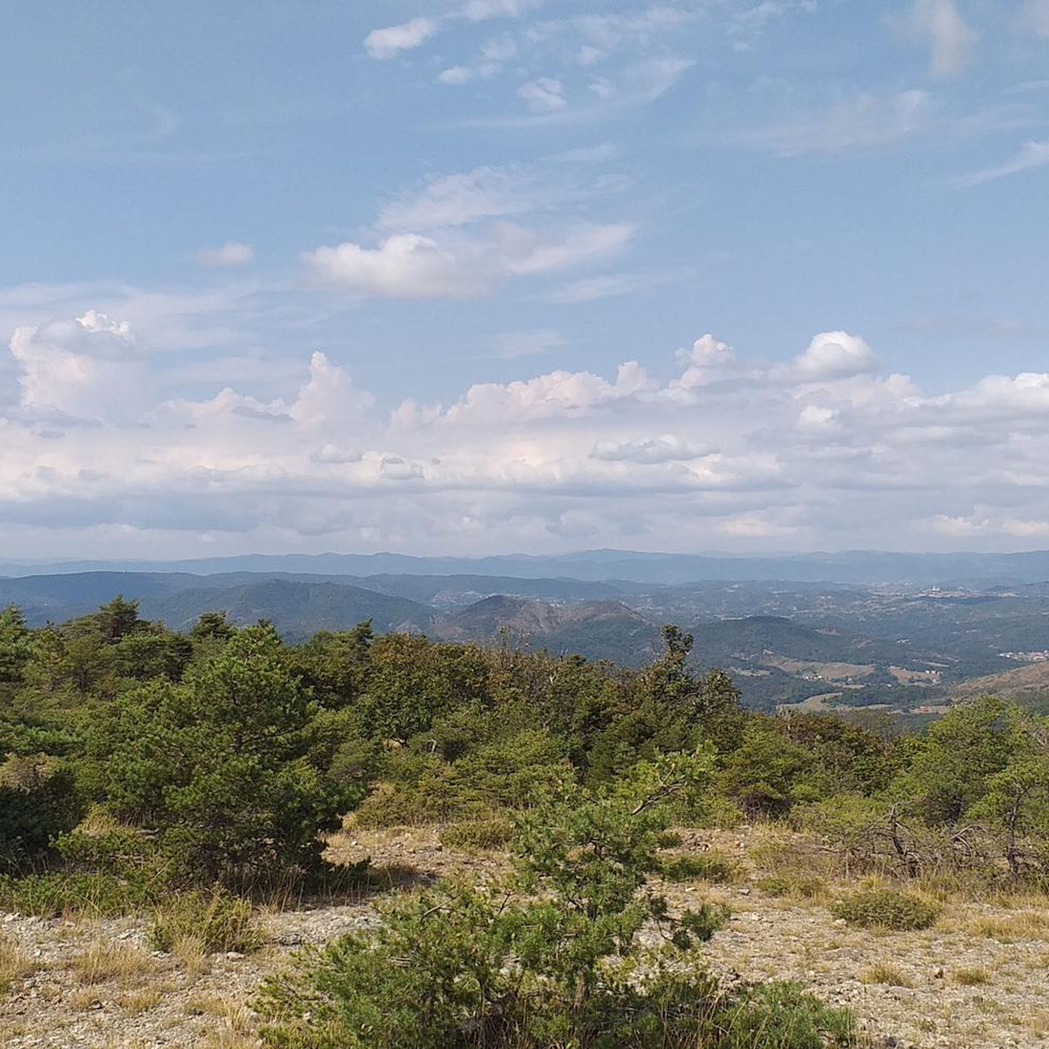
Place along the Apennine bike tour. Great for a refreshing stop.
2
0

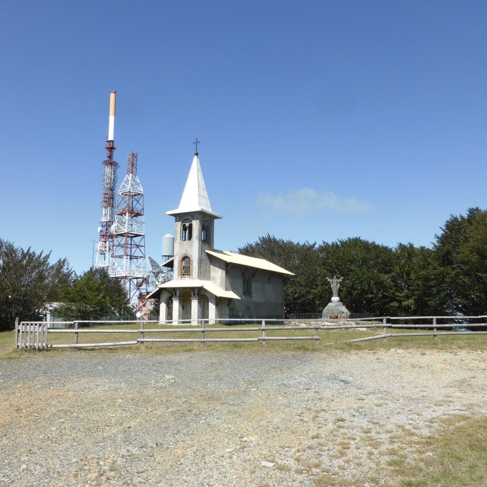
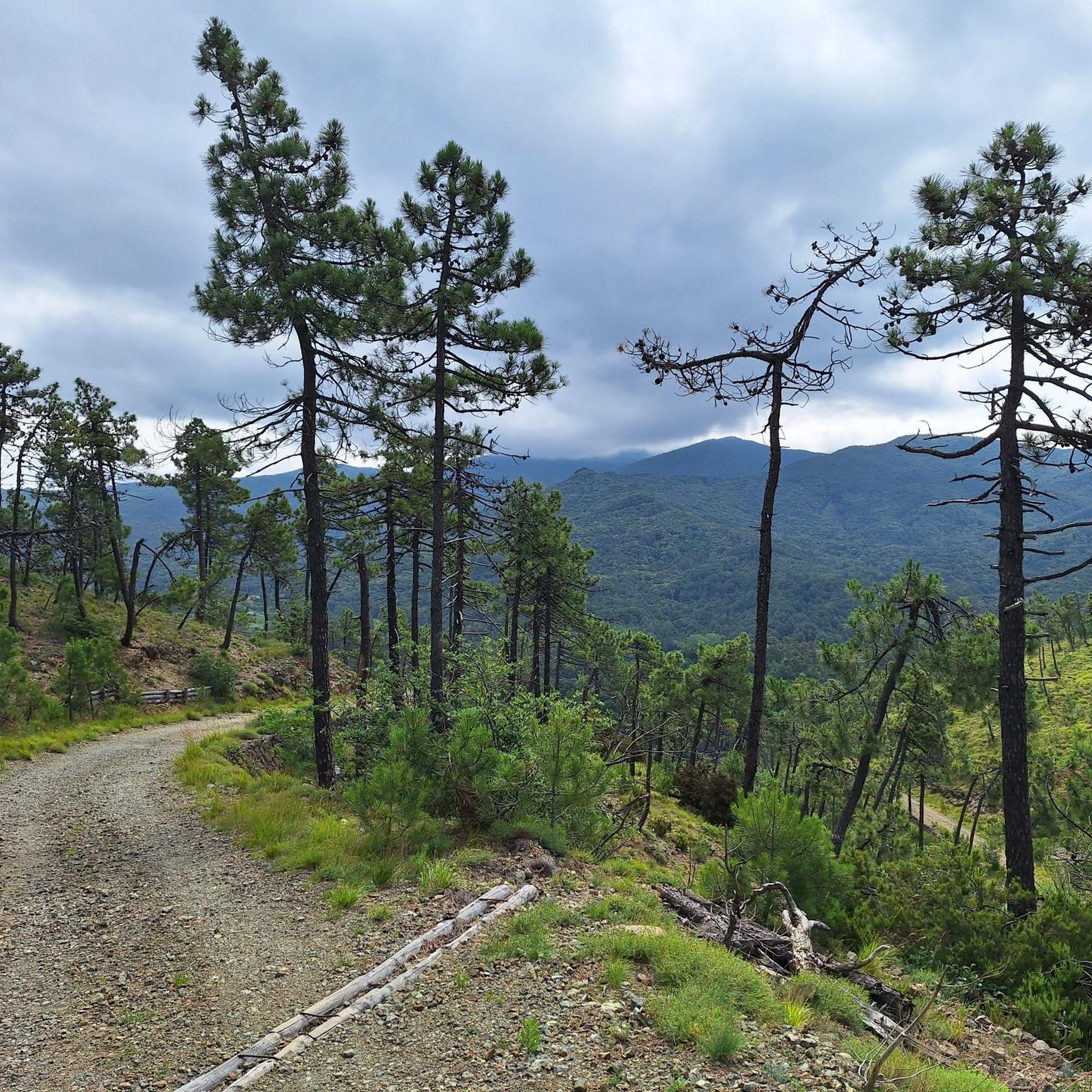
Beautiful climb through coniferous forests. Evocative panorama of the Ligurian Sea
0
0

Alpicella, a hamlet of Varazze (SV), boasts prehistoric origins with Neolithic settlements dating back to the 4th century BC. It was known in ancient times as "Cella delle Alpi." The area, characterized by rock archaeology and Celtic-style dry-stone houses, has had a rural history linked to pastoralism and agriculture, as evidenced by the local archaeological museum.
6
0
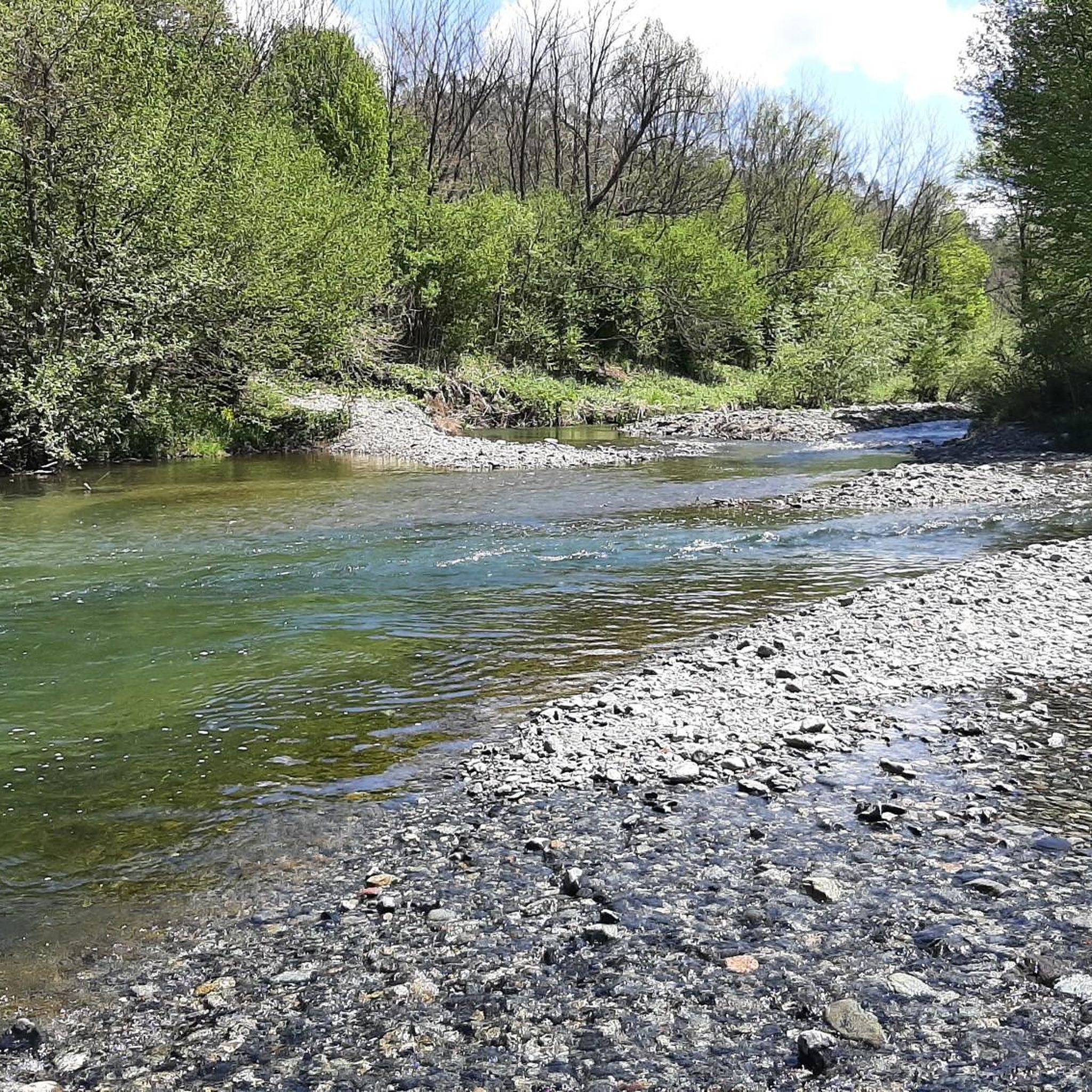
The Muin di Staio in Pareto (AL) is an ancient, abandoned watermill located along the stream of the same name. Characterized by a long beudo (channel) and a partially preserved iron wheel, it represents a local historical testimony to rural industrial archaeology now in ruins.
4
0
Beautiful climb with asphalt in good condition.
9
0


Functional
1
0
Frequently Asked Questions
How many road cycling routes are available in Parco Regionale Del Beigua?
Parco Regionale Del Beigua offers a wide selection of road cycling routes, with over 40 distinct tours to explore. These routes cater to various skill levels, including easy, moderate, and difficult options.
Are there easy road cycling routes suitable for beginners in Parco Regionale Del Beigua?
Yes, Parco Regionale Del Beigua features a few easy road cycling routes, with 3 specifically categorized as easy. While the region is known for significant elevation changes, these routes offer a less demanding experience. For a moderate option that is not overly strenuous, consider the Church of Melazzo loop from Sassello, which covers 31.7 miles (51.0 km) with manageable climbs.
What are some challenging road cycling routes in Parco Regionale Del Beigua?
For experienced road cyclists seeking a challenge, Parco Regionale Del Beigua has 14 difficult routes. A notable option is the Monte Beigua Summit – View of Alpicella loop from Sassello, a 35.0 miles (56.4 km) route featuring significant elevation gain and panoramic views from the summit. Another demanding ride is the Pontinvrea town center – Cortemilia loop from Sassello, which spans 70.1 miles (112.9 km) and includes substantial climbing.
When is the best time of year for road cycling in Parco Regionale Del Beigua?
The best time for road cycling in Parco Regionale Del Beigua is typically during spring (April to June) and autumn (September to October). During these seasons, the weather is generally mild, and the landscapes are vibrant. Summer can be warm, especially in lower elevations, while winter may bring colder temperatures and potential snow at higher altitudes, making some routes less accessible.
What kind of terrain can I expect on road cycling routes in Parco Regionale Del Beigua?
Road cycling routes in Parco Regionale Del Beigua are characterized by varied terrain, including significant elevation changes, mountain summits, and passes. You can expect both demanding ascents and scenic descents, with routes connecting local towns and traversing the natural park's diverse landscapes.
Are there any circular road cycling routes in Parco Regionale Del Beigua?
Yes, many of the road cycling routes in Parco Regionale Del Beigua are designed as loops, allowing you to start and finish in the same location. Examples include the Monte Beigua Summit – View of Alpicella loop from Sassello and the Church of Melazzo loop from Sassello, both offering a complete circuit.
What scenic viewpoints or attractions can I see along the road cycling routes?
Many routes offer stunning views, particularly from higher elevations like Monte Beigua Summit. You might also encounter historical sites and natural landmarks. Consider exploring highlights such as Cima di Dena or Salmaceto Pass. The region also features cultural points like Bellavista Castle.
What do other road cyclists enjoy most about road cycling in Parco Regionale Del Beigua?
The area is highly rated by the komoot community, with an average score of 4.9 stars from over 30 reviews. Road cyclists often praise the varied terrain, the challenging climbs, and the scenic beauty of the natural park. Many appreciate the well-curated routes that connect charming local towns and offer rewarding views.
Are there towns or villages along the routes where I can stop for refreshments?
Yes, many routes in Parco Regionale Del Beigua connect or pass through local towns and villages. For instance, the Pontinvrea town center – Cortemilia loop from Sassello leads through multiple towns, providing opportunities to stop for refreshments, coffee, or a meal. Sassello, a common starting point, also offers amenities.
How long do road cycling routes in Parco Regionale Del Beigua typically take to complete?
The duration of road cycling routes varies significantly based on distance and difficulty. Shorter, moderate routes like the Church of Melazzo loop from Sassello can take around 2.5 hours. Longer, more challenging routes, such as the Pontinvrea town center – Cortemilia loop from Sassello, may require over 5 hours to complete.
Where can I find parking for road cycling routes in Parco Regionale Del Beigua?
Many road cycling routes in Parco Regionale Del Beigua originate from towns like Sassello. You can typically find public parking available in these starting points, allowing convenient access to the trails. It's advisable to check local parking regulations upon arrival.
Most popular routes in Parco Regionale Del Beigua
Most popular attractions in Parco Regionale Del Beigua

Get inspired with the komoot mobile app


Explore more
Browse the best Road cycling routes in other regions.
