The best road cycling routes in Riserva Naturale Provinciale Monte Serra Di Sotto
4.4
(591)
11,925
riders
277
rides
Road cycling routes in Riserva Naturale Provinciale Monte Serra Di Sotto are characterized by diverse landscapes, including maritime pine forests, evergreen sclerophyllous woods, and cultivated olive groves. The region encompasses the eastern side of Monte Cimone and the western side of Monte Passatoio, with numerous springs and watercourses. Monte Serra, the highest peak of the Monti Pisani, offers challenging climbs with significant elevation gain, such as the ascent from Calci. These routes provide varied terrain for road cyclists between Pisa…
Last updated: July 13, 2026
3.8
(4)
17
riders
36.3km
01:48
540m
540m
Moderate road ride. Good fitness required. Mostly well-paved surfaces and easy to ride.
5.0
(1)
47
riders
19.7km
01:18
610m
610m
Moderate road ride. Good fitness required. Mostly well-paved surfaces and easy to ride.

Sign up for free
4.8
(4)
16
riders
53.4km
02:45
770m
770m
Moderate road ride. Good fitness required. Mostly well-paved surfaces and easy to ride.
10
riders
44.6km
01:51
180m
180m
Easy road ride. Great for any fitness level. Mostly well-paved surfaces and easy to ride.
9
riders
58.9km
02:32
380m
380m
Moderate road ride. Good fitness required. Mostly well-paved surfaces and easy to ride.
Get access to more routes and recommendations from other explorers.
Sign up for free
Already have an account?
Our route recommendations are based on thousands of hikes, rides, and runs completed by other people on komoot.
Start today with a free account
Your next adventure awaits.
Login or Signup
Popular around Riserva Naturale Provinciale Monte Serra Di Sotto
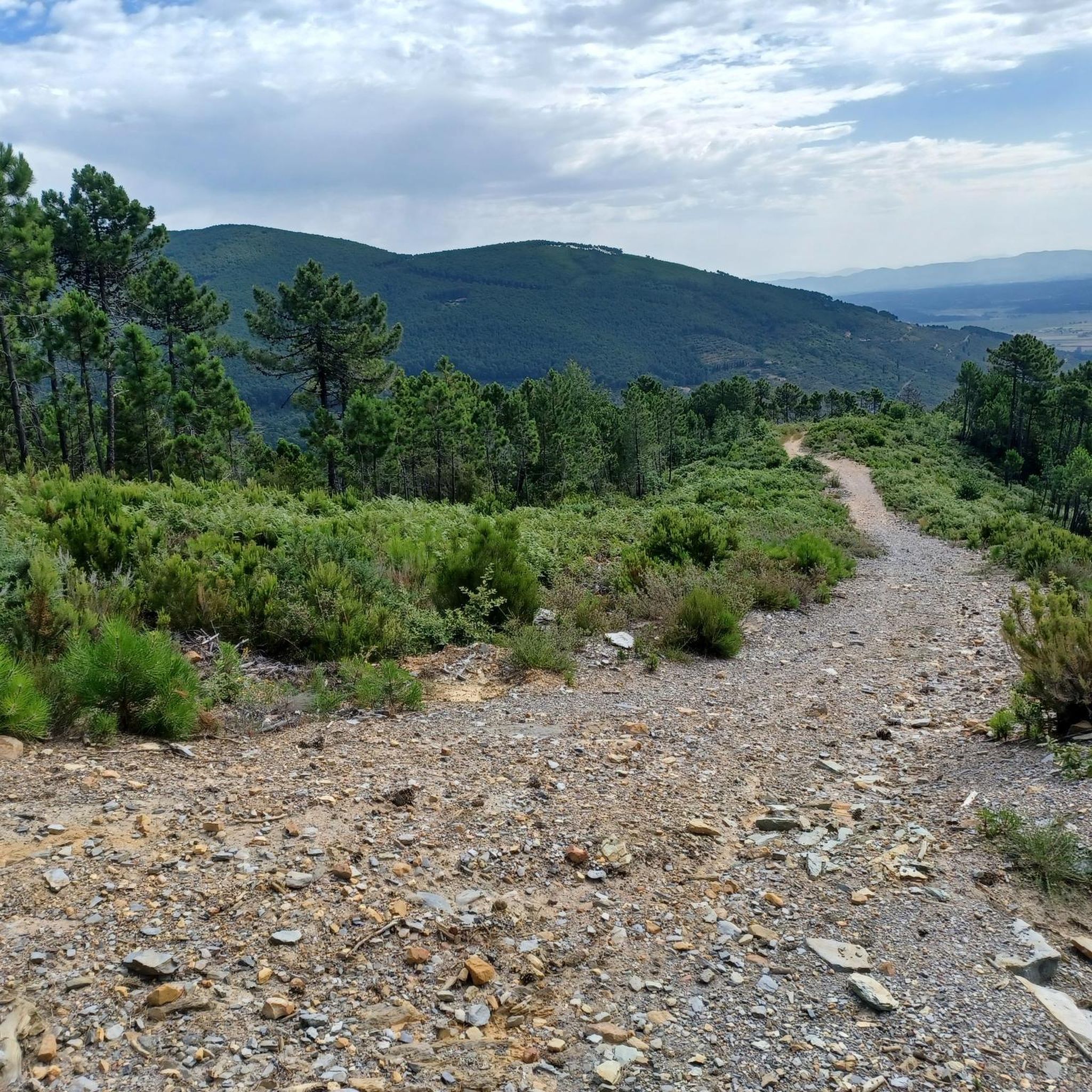
Hiking in Riserva Naturale Provinciale Monte Serra Di Sotto

Cycling in Riserva Naturale Provinciale Monte Serra Di Sotto
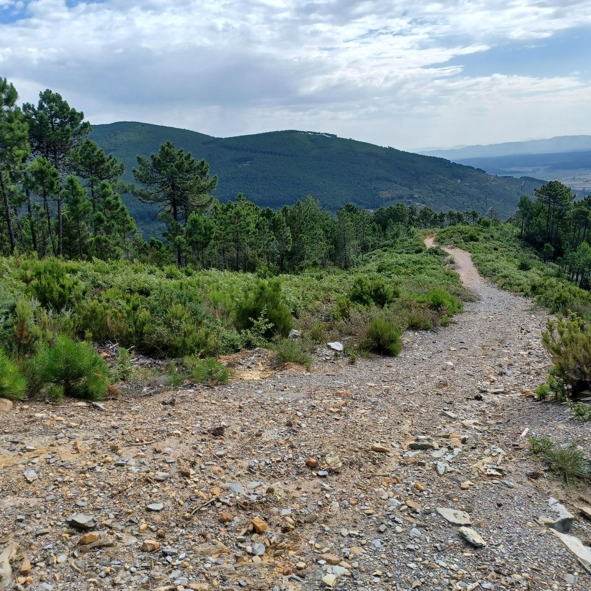
MTB Trails in Riserva Naturale Provinciale Monte Serra Di Sotto
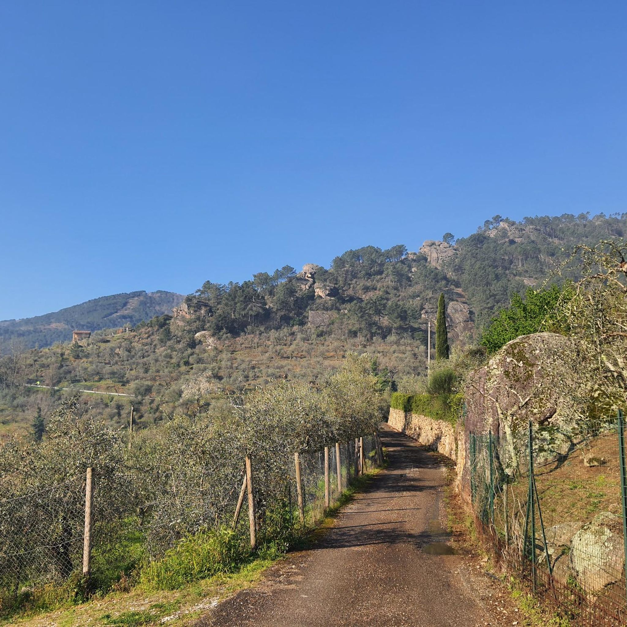
Running Trails in Riserva Naturale Provinciale Monte Serra Di Sotto
Gravel biking in Riserva Naturale Provinciale Monte Serra Di Sotto
Tips from the Community

The Park of Villa Reale di Marlia is one of the most spectacular historic gardens in Italy, an immense sixteen-hectare complex where the geometric elegance of the Italian garden coexists with romantic charm and avenues of centuries-old camellias. Within the estate stands the majestic and elegant Villa, which was the royal residence of Elisa Bonaparte Baciocchi (Napoleon's sister), surrounded by authentic masterpieces such as the splendid Spanish Garden and the famous Green Theatre.
0
0

Production, sale and tasting of extra virgin olive oil and local products. Frantoio Sociale del Compitese, Società Cooperativa is also the ideal place to recharge your e-bike and earn DINAclub points. Find out how at: https://dinaclub.repower.com./ To discover the territory, here is an itinerary ready to be cycled: https://www.komoot.com/it-it/tour/3027743084
0
0

The Walls of Lucca are one of the most famous historical monuments in Italy, known worldwide for being the only Renaissance city walls to have survived completely intact to this day. Built between 1504 and 1648 mainly to defend against the expansionist ambitions of Florence, they completely surround the historic center of the city. During the 19th century, by the will of Maria Luisa of Bourbon, the military fortification was transformed into an immense elevated public park and a charming tree-lined promenade.
1
0

Climbing Serra, Buti side, section from Primo Maggio to Cristalli. It's funny that the section starts at one restaurant and ends at another 😬 It almost seems like a culinary journey 🤣 But I assure you, you have to earn your first lunch already, because there's a lot of climbing. Dinner, or an encore at the second restaurant 😉, requires a lot of effort. It's about 8 km, with an average gradient of 8%, I think, with some sections at 10%. You have to push, you have to pedal, and you have to have fun 💪👍
1
0


Named after General Carlo Alberto Dalla Chiesa, the large bridge over the Serchio, Strada Statale 12 del Brennero var. B connects the right bank (San Lorenzo di Moriano, San Cassiano di Moriano) with the left bank, the one that overlooks Marlia and the hills famous for the numerous noble villas. Be careful at the roundabout on the Marlia side, very large and busy.
0
0

Here you can relax during your hike and simply listen to nature or have a snack.
0
0

The city walls of Lucca are very impressive
1
0
Frequently Asked Questions
What kind of terrain can I expect on road cycling routes in Riserva Naturale Provinciale Monte Serra Di Sotto?
The region offers diverse landscapes, from maritime pine forests and evergreen sclerophyllous woods to cultivated chestnut and olive groves. You'll encounter varied terrain, including challenging climbs like the ascent from Calci, which features an average gradient of 7% and sections with double-digit inclines, alongside flatter sections through valleys.
Are there road cycling routes suitable for beginners or families?
Yes, while the region is known for challenging climbs, there are also easier routes available. For instance, the Medieval Towers of Vicopisano – Historic Center of Buti loop from Buti is an easy route with less elevation gain, making it suitable for those looking for a more relaxed ride.
What are the typical elevation gains on road cycling routes in this area?
Elevation gains vary significantly. Some routes, like the classic ascent from Calci to Monte Serra, can involve an elevation gain of around 850 meters over 12 kilometers. Other routes, such as the Bent Tree Near Cerretti – Historic Center of Buti loop from Buti, have a moderate elevation gain of about 417 meters, while easier routes like the Medieval Towers of Vicopisano – Historic Center of Buti loop from Buti have around 184 meters of ascent.
When is the best time of year to go road cycling in Riserva Naturale Provinciale Monte Serra Di Sotto?
Thanks to its mild climate and proximity to the sea, the region is accessible for road cycling year-round. However, spring and autumn generally offer the most pleasant temperatures for longer rides, avoiding the peak heat of summer and the cooler, potentially wetter days of winter.
What natural features or landmarks can I see along the road cycling routes?
The reserve is rich in natural beauty and historical sites. You can expect to see maritime pine forests, olive groves, and various watercourses. Notable landmarks include the historic Dolorosa Rock, which offers strategic views, and the Ascent to Monte Serra from Calci, which provides splendid views of the Pisan plain. The View of the Pisan Plain from Prato Ceragiola Pass is another excellent viewpoint.
Are there many circular road cycling routes in the Riserva Naturale Provinciale Monte Serra Di Sotto?
Yes, many of the road cycling routes in the area are designed as loops, allowing you to start and finish in the same location. Examples include the View of Buti – Historic Center of Buti loop from Buti and the Ruota climb – Royal Villa of Marlia loop from Ruota.
What do other road cyclists enjoy most about cycling in Riserva Naturale Provinciale Monte Serra Di Sotto?
The area is highly rated by the komoot community, with an average score of 4.4 stars from over 540 reviews. Cyclists often praise the varied terrain, the challenging climbs with rewarding views, and the beautiful natural surroundings, including pine forests and olive groves.
How many road cycling routes are available in Riserva Naturale Provinciale Monte Serra Di Sotto?
There are over 270 road cycling routes available in Riserva Naturale Provinciale Monte Serra Di Sotto, catering to various skill levels from easy to difficult.
Is public transport available to access the road cycling routes?
The region is situated between Pisa and Lucca, which are well-connected by public transport. From these larger towns, local bus services may connect to smaller villages like Buti or Calci, which serve as common starting points for many routes. It's advisable to check local bus schedules for specific connections to your chosen starting point.
Are there places to eat or stay near the road cycling routes?
Yes, towns and villages surrounding the reserve, such as Buti, offer various options for refreshments and accommodation. You can find restaurants, cafes, and guesthouses to refuel and relax after your ride.
Are there any specific challenging climbs for experienced road cyclists?
Absolutely. The ascent to Monte Serra from Calci is a classic and popular climb among Tuscan cyclists. It's approximately 12 kilometers long with an elevation gain of 850 meters, featuring an average gradient of 7% and sections with double-digit inclines, providing a significant test for experienced riders.
Can I find routes that pass through historical towns or offer cultural sights?
Yes, many routes connect local towns and villages, allowing you to experience the cultural heritage of the area. For example, the Lucca City Walls – Lucca City Walls loop from Buti takes you towards the historic city of Lucca, known for its well-preserved Renaissance walls.
Most popular routes in Riserva Naturale Provinciale Monte Serra Di Sotto
Most popular attractions in Riserva Naturale Provinciale Monte Serra Di Sotto

Get inspired with the komoot mobile app


Explore more
Browse the best Road cycling routes in other regions.
