The best running trails in Riserva Naturale Di Rocca San Giovanni - Saben
4.6
(21)
2,136
runners
142
runs
Jogging in Riserva Naturale Di Rocca San Giovanni - Saben offers routes through a diverse landscape characterized by rugged mountains and notched ridges. The region features unique limestone and dolomite formations, contributing to a distinct environment. This nature reserve, located in the Maritime Alps, provides varied terrain for running, from challenging mountain paths to more accessible trails. It is known for its unique microclimate, supporting diverse plant and animal species.
Best jogging routes in Riserva Naturale Di Rocca San Giovanni - Saben
- The most popular jogging route is Monte La Piastra loop from Valdieri, a 14.0 miles (22.6 km) trail that takes 3 hours 36 minutes to complete. This difficult route features significant elevation gain through varied mountain terrain.
- Another top favourite among local runners is Cima Saben – Cima Pissousa loop from Valdieri, a difficult 8.0 miles (12.8 km) path. This route offers views of the reserve's rugged peaks and alpine scenery.
- Local runners also love the Valdieri Necropolis loop from Valdieri, a 4.4 miles (7.1 km) trail leading through historical areas and lower elevation paths, often completed in about 50 minutes.
- Jogging in Riserva Naturale Di Rocca San Giovanni - Saben is defined by rugged mountains, unique limestone formations, and diverse flora. The network offers options for different ability levels, from moderate loops to difficult ascents.
- The routes in Riserva Naturale Di Rocca San Giovanni - Saben are highly rated by the komoot community with an average score of 4.37 stars from over 22 reviews. More than 1600 runners have used komoot to explore Riserva Naturale Di Rocca San Giovanni - Saben's varied terrain.
Last updated: July 5, 2026
15
runners
12.8km
02:26
1,010m
1,010m
Hard run. Very good fitness required. Mostly paved surfaces. Suitable for all skill levels.
10
runners
Hard run. Very good fitness required. Mostly paved surfaces. Suitable for all skill levels.

Sign up for free
13
runners
17.8km
02:54
1,050m
1,050m
Hard run. Very good fitness required. Mostly paved surfaces. Suitable for all skill levels.
5.0
(1)
14
runners
Moderate run. Good fitness required. Mostly paved surfaces. Suitable for all skill levels.
9
runners
10.6km
01:22
500m
500m
Hard run. Very good fitness required. Mostly paved surfaces. Suitable for all skill levels.
Get access to more routes and recommendations from other explorers.
Sign up for free
Already have an account?
Our route recommendations are based on thousands of hikes, rides, and runs completed by other people on komoot.
Start today with a free account
Your next adventure awaits.
Login or Signup
Popular around Riserva Naturale Di Rocca San Giovanni - Saben
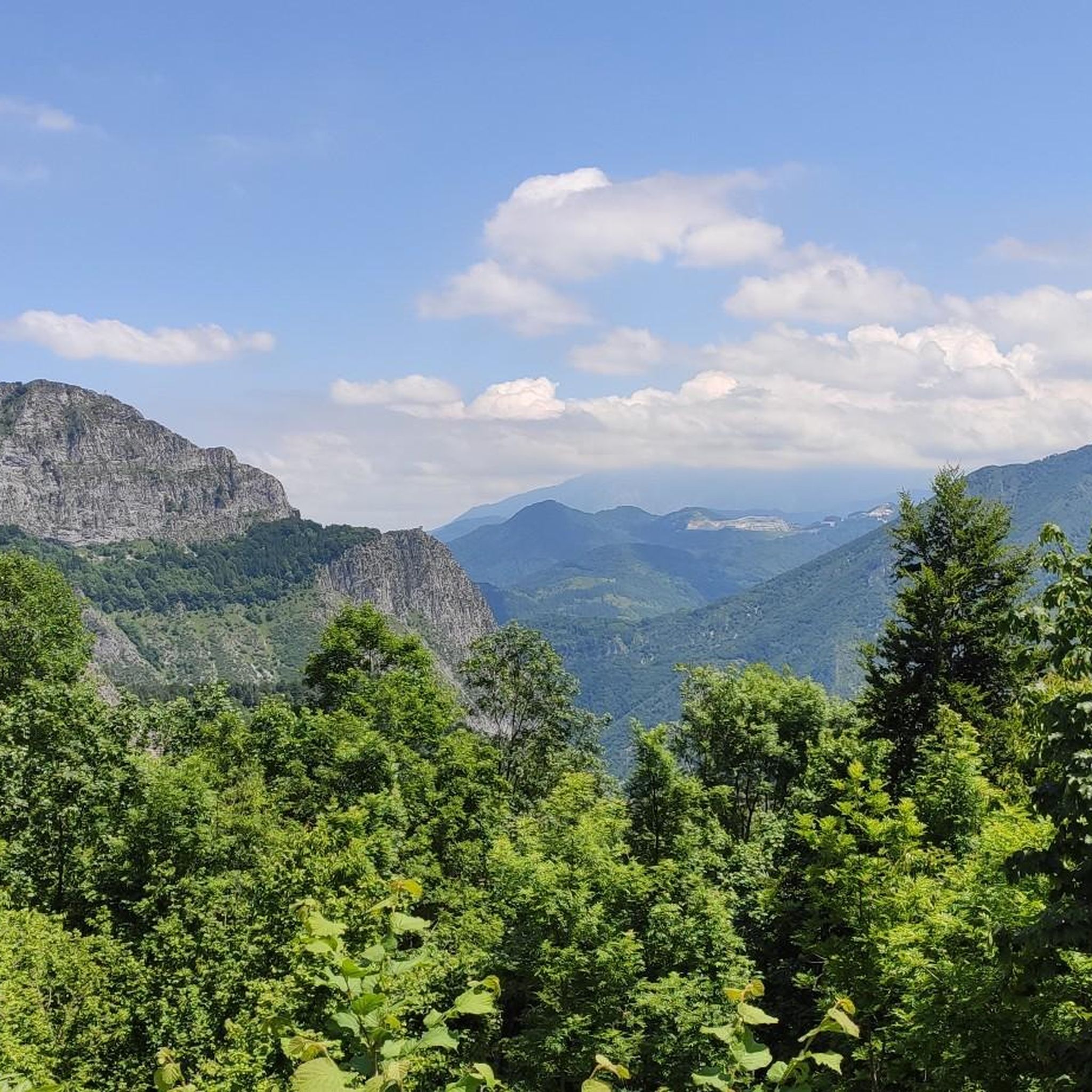
Hiking in Riserva Naturale Di Rocca San Giovanni - Saben
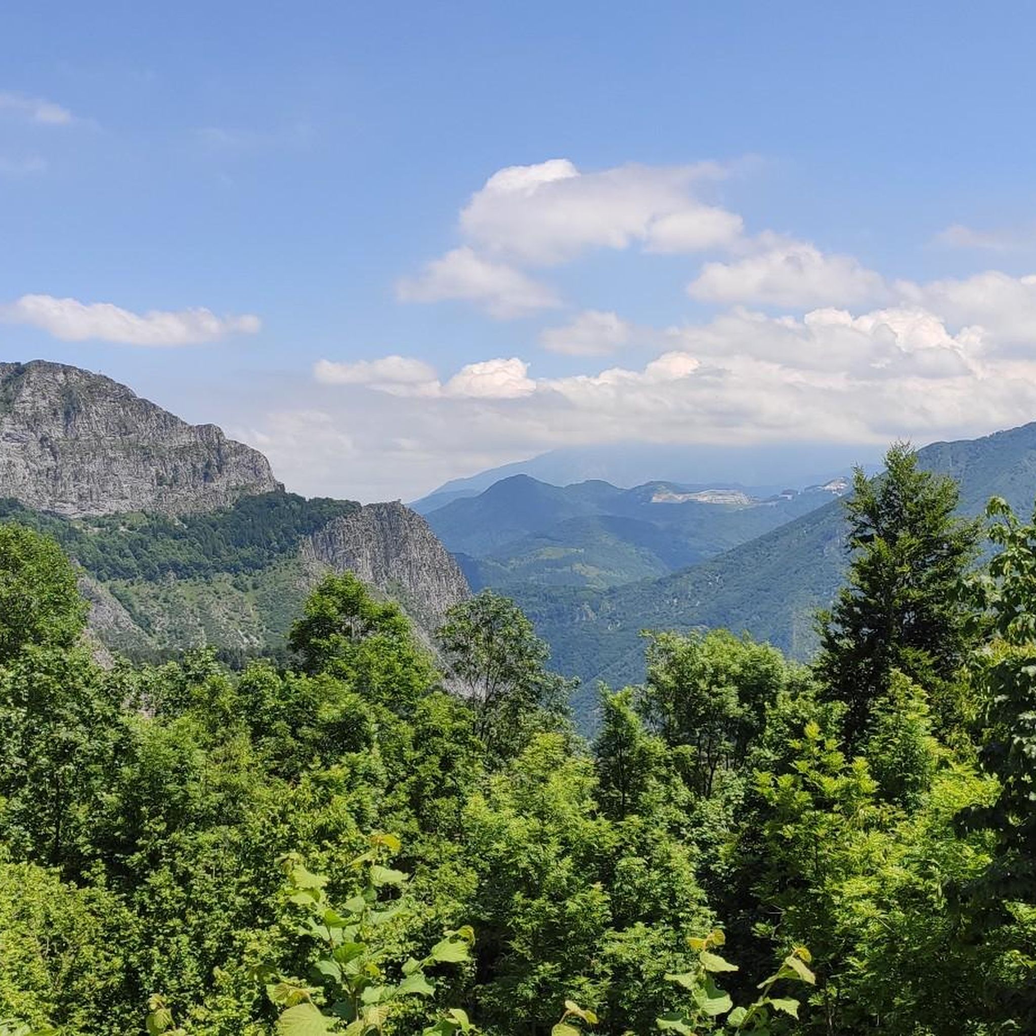
Road Cycling Routes in Riserva Naturale Di Rocca San Giovanni - Saben
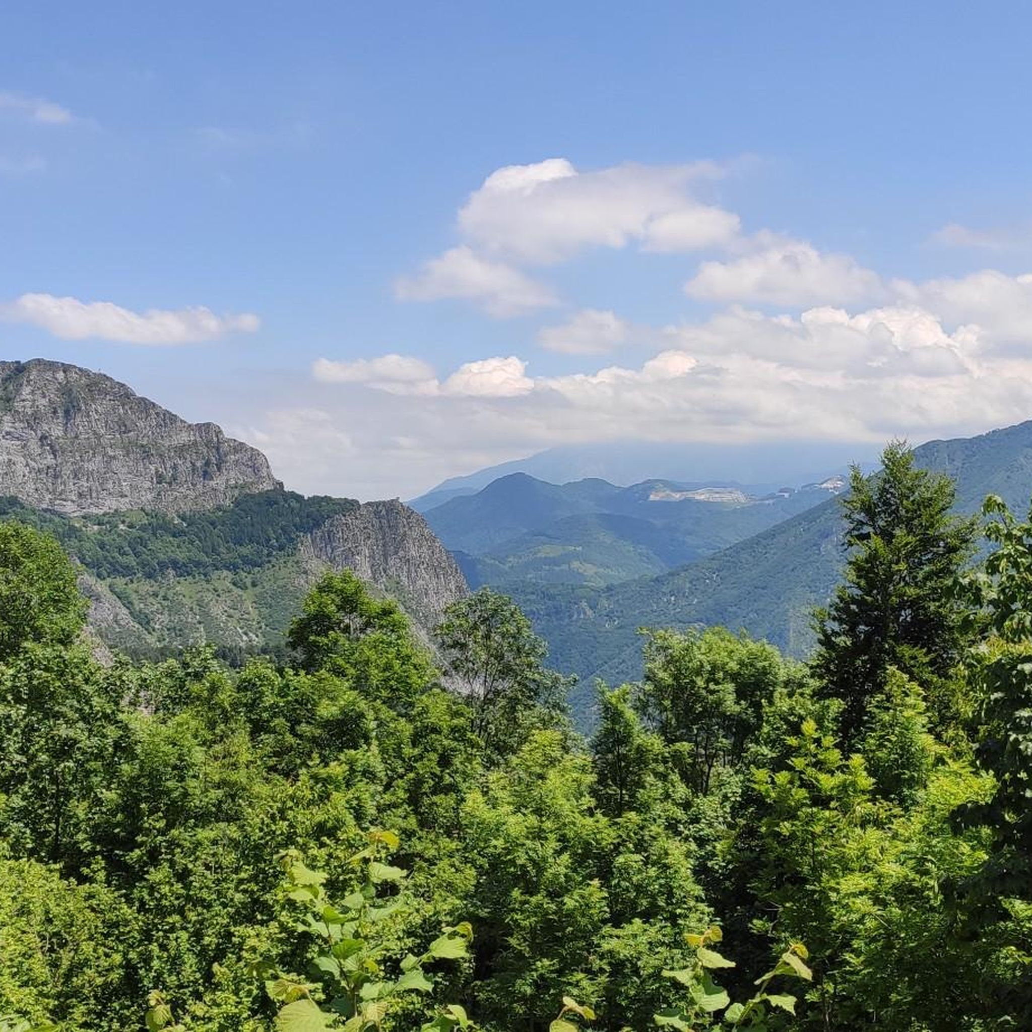
MTB Trails in Riserva Naturale Di Rocca San Giovanni - Saben
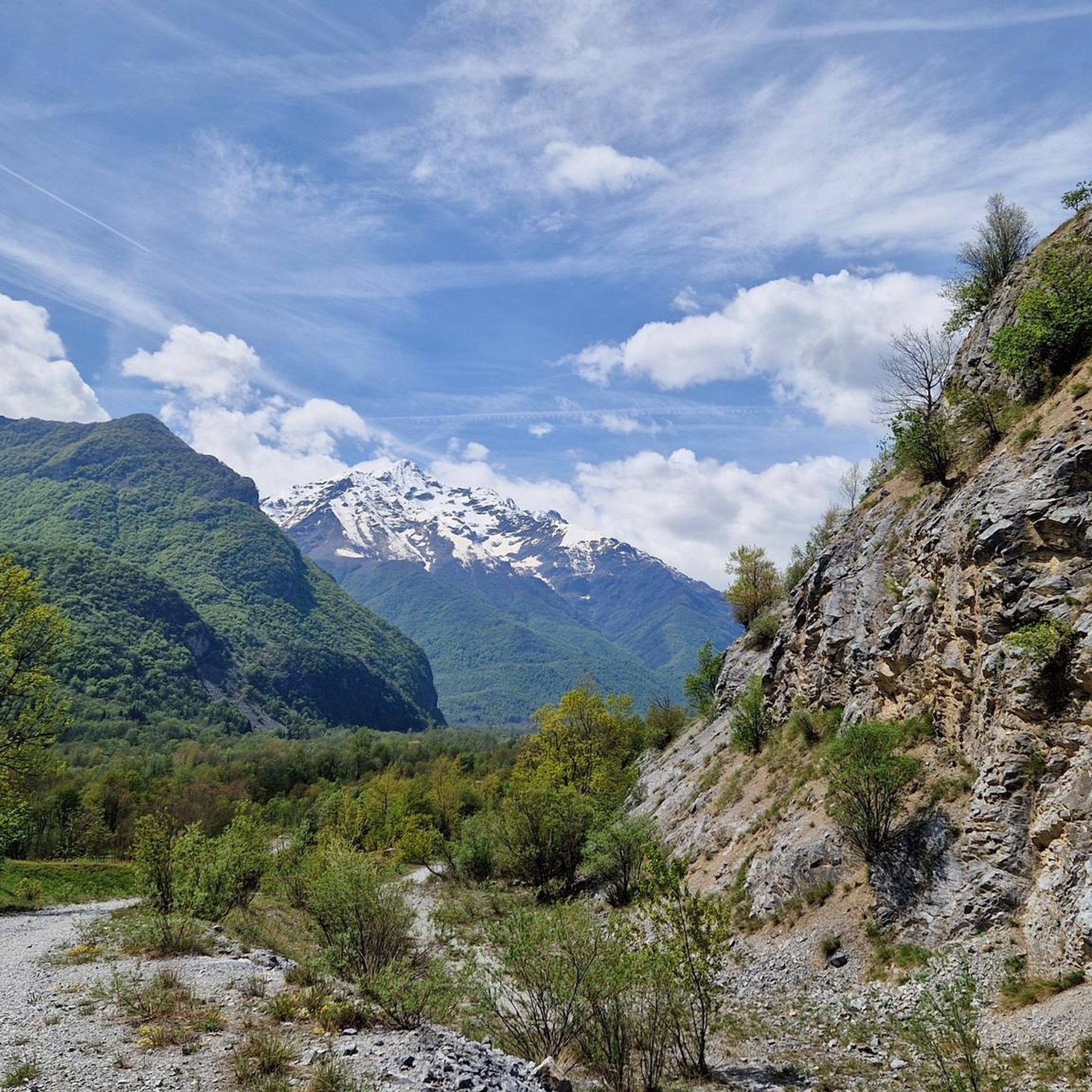
Cycling in Riserva Naturale Di Rocca San Giovanni - Saben

Gravel biking in Riserva Naturale Di Rocca San Giovanni - Saben
Mountain Hikes in Riserva Naturale Di Rocca San Giovanni - Saben
Tips from the Community


It is located along the small necropolis path
0
0


I do not recommend Cima Pissousa with a MTB. Practically all to be pushed or carried on shoulders. The last stretch is very straight on rocks. On the descent towards Madonna del Colletto it is difficult to pedal. I even lost the track. From the top there is a spectacular 360° view. Recommended on foot
0
0

I was really looking forward to going up to the Santuario della Madonna del Colletto. I had been to this area several times and had not had the opportunity to go up here. So on the trip through Piedmont in July 2022 I made sure that the planned route passed through here. We went up the western slope, the one used by the Giro d'Italia when it first went up here in 1999, on the famous stage where the Fauniera was climbed, with the spectacle of Pantani climbing and the stratospheric descent of Paolo Savoldelli. I have to admit that the climb itself is not very attractive. Once you leave the village of Festiona behind, you enter a forest and there are hardly any views over the valley. You can only focus on the road, its curves, straights (which there are) and difficult slopes. The asphalt is old, with a lot of gravel and very uneven, which obviously adds difficulty to the climb. The climb up the western side is 7.1 km, 576 metres of elevation and an average gradient of 8.1%. Therefore, it is very hard!! And there are several sections above 12%, especially in the first kilometres, where the gradient is irregular, with very hard sections and small rest areas. The views of the Valdieri valley from the Sanctuary are very beautiful, and also of all the mountains covered with forests and vegetation in the surroundings. We took advantage of the porch at the entrance to the Sanctuary to take shelter from the sun and the heat, and to stock up on food and eat some spectacular sandwiches. I remember it fondly. Below is the altimetry of the climb published by @cyclingcols, the best in these matters --> http://www.cyclingcols.com/col/Colletto
2
0


The perfect place for a mid-morning coffee (or ice cream!) during the Stone King itinerary!
2
0
Frequently Asked Questions
How many running routes are available in Riserva Naturale Di Rocca San Giovanni - Saben?
There are over 80 running routes documented in the Riserva Naturale Di Rocca San Giovanni - Saben, catering to various fitness levels. You'll find everything from easy paths to challenging mountain trails.
What kind of terrain can I expect on the jogging trails?
The reserve features a diverse landscape, including rugged mountains with notched ridges, unique limestone and dolomite formations, and varied forest paths. You can expect a mix of challenging ascents and more gentle, scenic stretches.
Are there any easy or moderate running routes suitable for beginners or a relaxed jog?
Yes, while many routes are challenging, there are options for easier jogs. The "Butterfly Trail" is described as extremely easy and runs along the southern border of the protected area, leading to the Valdieri Archaeological Park. For a moderate option, consider the Valdieri Necropolis loop from Valdieri, which is 7.1 km long and takes about 50 minutes.
What are some of the more challenging running routes in the reserve?
For experienced runners seeking a challenge, the reserve offers several difficult routes. The Monte La Piastra loop from Valdieri is a demanding 22.6 km trail with significant elevation gain. Another difficult option is the Cima Saben – Cima Pissousa loop from Valdieri, which covers 12.8 km with substantial climbing.
What unique natural features or wildlife might I encounter while running here?
The reserve is a biodiversity hotspot with a unique microclimate. You might spot the rare Phoenicean juniper, the endemic Allionii's primrose (especially in February), and even rare butterflies like the beautiful Papilio alexanor. The geological formations of limestone and dolomite also add to the distinct environment.
Are there any circular running routes available?
Yes, many of the routes in the Riserva Naturale Di Rocca San Giovanni - Saben are circular. Examples include the challenging Cima Saben loop from Valdieri and the moderate Valdieri Necropolis loop from Valdieri. These loops allow you to start and finish at the same point, offering varied scenery throughout your run.
What do other runners say about the trails in Riserva Naturale Di Rocca San Giovanni - Saben?
The running routes in Riserva Naturale Di Rocca San Giovanni - Saben are highly rated by the komoot community, with an average score of 4.37 stars from over 22 reviews. Runners often praise the stunning natural beauty, the diverse terrain, and the sense of adventure offered by the trails.
Are there any specific landmarks or points of interest along the jogging paths?
While jogging, you can enjoy pre-arranged observation points that often provide information about the local geomorphology, vegetation, fauna, and history. The easy "Butterfly Trail" also leads to the Valdieri Archaeological Park, offering a cultural point of interest.
What is the best time of year to go jogging in Riserva Naturale Di Rocca San Giovanni - Saben?
The reserve's unique microclimate makes it suitable for outdoor activities across seasons. However, for optimal conditions, spring (when the Allionii's primrose blooms) and autumn offer pleasant temperatures and vibrant scenery. Some higher-altitude routes might be affected by snow in winter, so checking local conditions is advisable.
Where can I find more information about the Riserva Naturale Di Rocca San Giovanni - Saben?
For additional details about the nature reserve, including its establishment and conservation efforts, you can visit the official tourism website for the region: visitcuneese.it.
Are there options for running routes that start from Entracque?
Yes, there is a moderate Running loop from Entracque. This route is 8.7 km long and typically takes about 56 minutes to complete, offering another starting point for exploring the area.
Most popular routes in Riserva Naturale Di Rocca San Giovanni - Saben

Get inspired with the komoot mobile app


Explore more
Browse the best Running Trails & Routes in other regions.
