The best walks and hikes in Monte Spinarda - Rio Nero
4.6
(343)
1,393
hikers
101
hikes
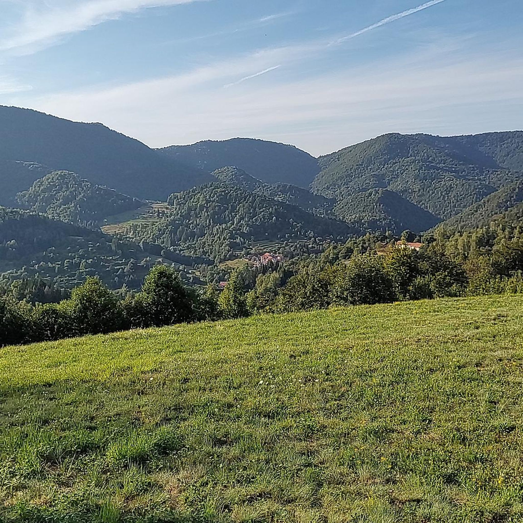
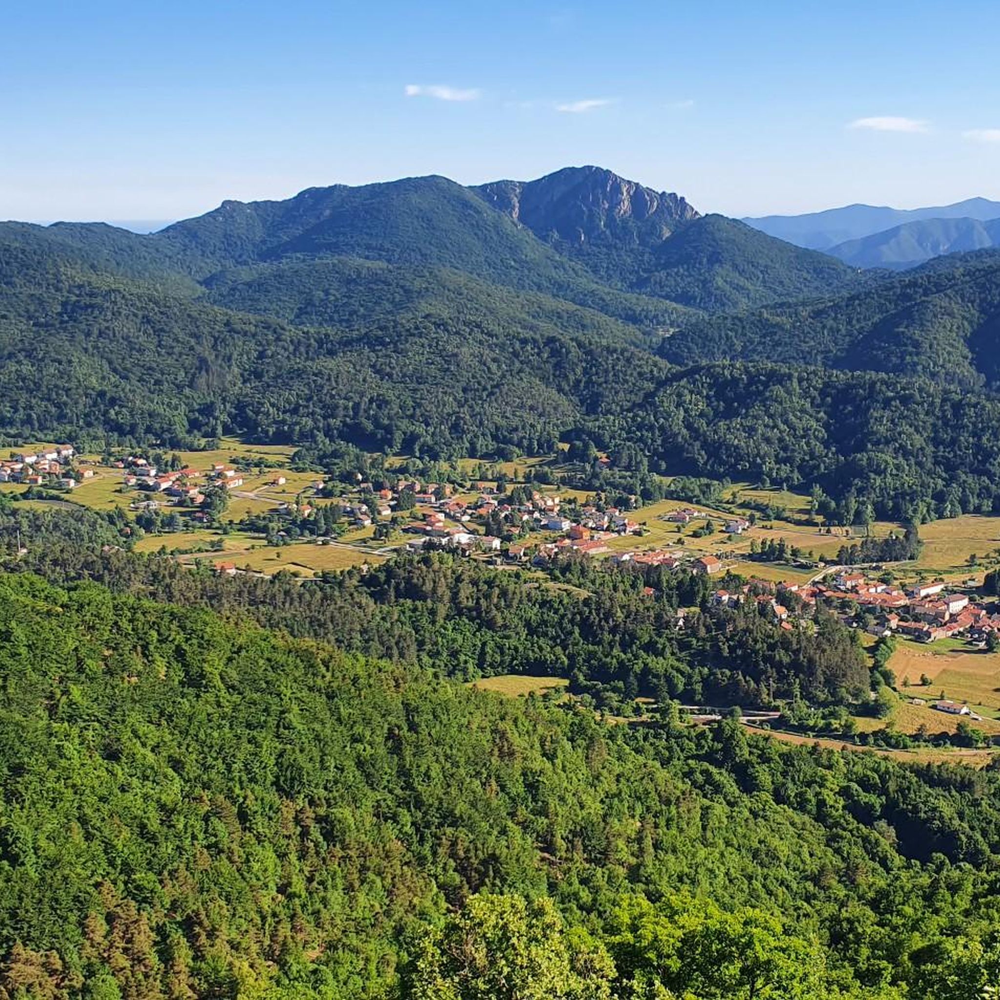
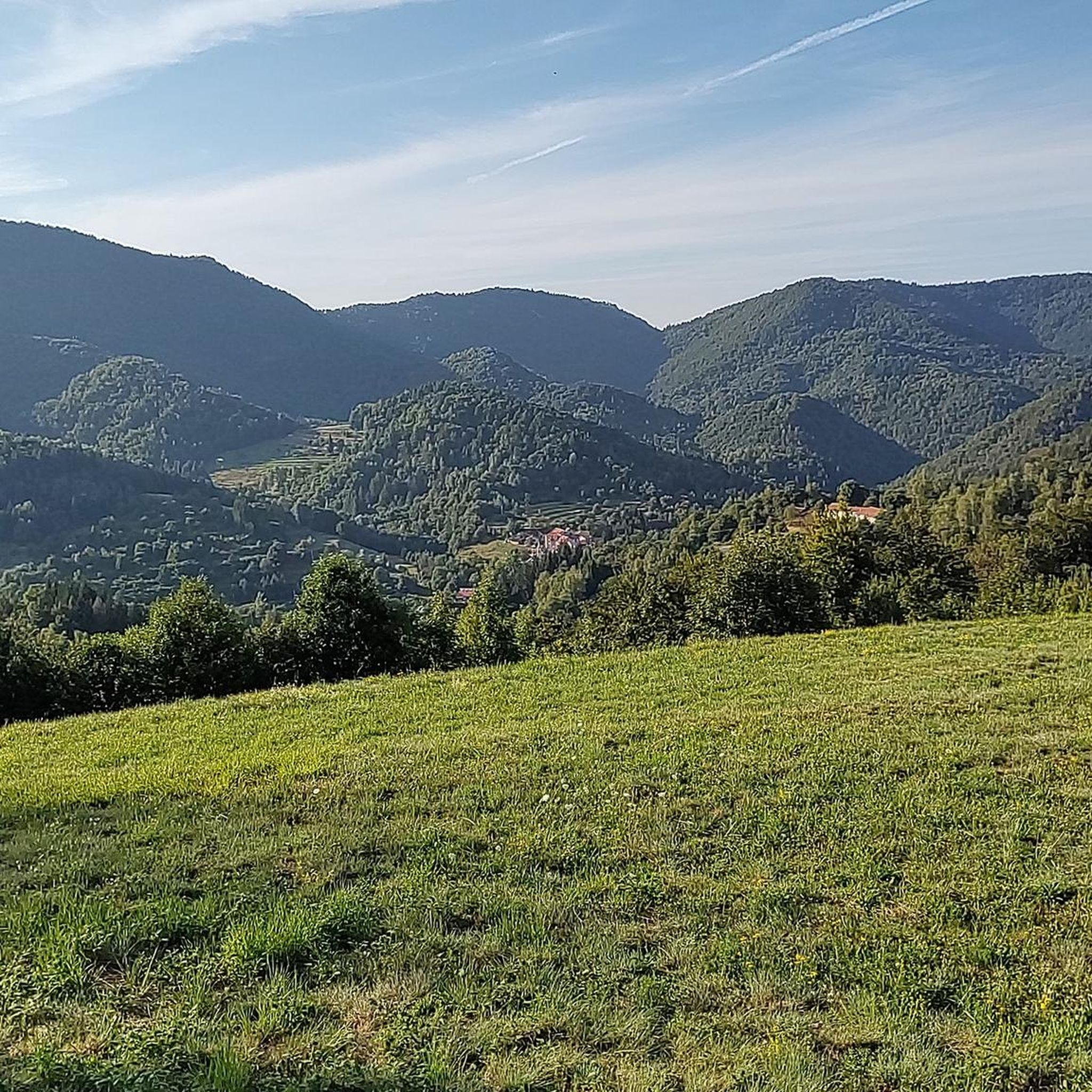
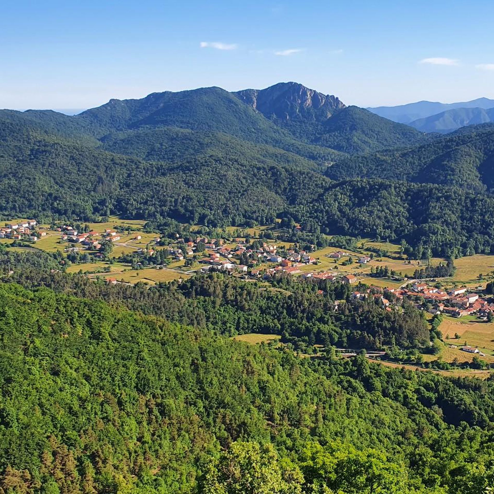
Hiking trails in Monte Spinarda - Rio Nero traverse the Ligurian Prealps, featuring the 1,357-meter Monte Spinarda and the distinct Rio Nero gorge. The landscape is defined by extensive beech woods and shrubs on Monte Spinarda's slopes, offering panoramic views. The Rio Nero area is known for its sculpted rock formations and waterfalls, creating a varied environment for outdoor activities.
Best hiking trails in Monte Spinarda - Rio Nero
- The most popular hiking route is Monte Spinarda Summit Trail from…
Last updated: June 24, 2026
5.0
(1)
3
hikers
11.2km
04:10
660m
660m
Moderate hike. Good fitness required. Mostly accessible paths. Sure-footedness required.
5.0
(2)
3
hikers
10.3km
03:22
460m
450m
Moderate hike. Good fitness required. Easily-accessible paths. Suitable for all skill levels.

Sign up for free
1
hikers
6.77km
03:14
520m
520m
Moderate hike. Good fitness required. Mostly accessible paths. Sure-footedness required.
5.0
(1)
3
hikers
11.5km
03:40
450m
450m
Moderate hike. Good fitness required. Mostly accessible paths. Sure-footedness required.
3
hikers
Moderate hike. Good fitness required. Easily-accessible paths. Suitable for all skill levels.
Get access to more routes and recommendations from other explorers.
Sign up for free
Already have an account?
Our route recommendations are based on thousands of hikes, rides, and runs completed by other people on komoot.
Start today with a free account
Your next adventure awaits.
Login or Signup

Frequently Asked Questions
How many hiking trails are available in Monte Spinarda - Rio Nero?
The Monte Spinarda - Rio Nero region offers a wide selection of hiking trails, with over 90 routes available for exploration. These range from easy walks to more challenging treks, catering to various fitness levels.
What kind of terrain can I expect on the hiking trails in Monte Spinarda - Rio Nero?
The terrain in Monte Spinarda is characterized by extensive beech woods and shrubs, offering shaded paths and panoramic views from higher elevations. The Rio Nero area, in contrast, features dramatic gorges, sculpted rock formations, and numerous waterfalls, providing a more rugged and aquatic landscape.
Are there any easy hiking trails suitable for beginners in Monte Spinarda - Rio Nero?
Yes, there are several easy hiking options in the region. The guide lists 10 easy trails, perfect for those new to hiking or looking for a relaxed walk. These routes allow you to enjoy the natural beauty without significant physical exertion.
What are the best viewpoints or natural features to look out for on a hike?
On Monte Spinarda, hikers are rewarded with excellent views of the surrounding mountains, especially from the summit. The Rio Nero area is renowned for its impressive gorges, sculpted rock formations, and numerous waterfalls, which are a highlight for those exploring its unique landscape.
Are there any family-friendly hiking options in Monte Spinarda - Rio Nero?
While the guide focuses on hiking, the broader Rio Nero area is known for offering family-friendly canyoning routes with optional jumps and slides. For hiking, look for the easier trails available in the region, which often provide more accessible terrain for families.
Can I bring my dog on the hiking trails in Monte Spinarda - Rio Nero?
Many trails in natural areas like Monte Spinarda - Rio Nero are generally dog-friendly, especially those through woodlands. However, it's always recommended to keep dogs on a leash to protect local wildlife and ensure their safety, particularly near steep drops or water features in the Rio Nero gorge.
What is the best time of year to go hiking in Monte Spinarda - Rio Nero?
The region offers diverse experiences throughout the year. Monte Spinarda is known for its low avalanche risk, even in snowy winters, making snowshoeing an option. For general hiking, spring and autumn offer pleasant temperatures and vibrant scenery, while summer provides warmer conditions for exploring both the mountain and the aquatic features of Rio Nero.
Are there any circular hiking routes available?
Yes, there are several circular routes to enjoy. A popular option is the Rio Nero Loop Trail, a moderate 6.41-mile (10.3 km) path that allows you to explore the unique rock formations and water elements of the Rio Nero area without retracing your steps.
What do other hikers enjoy most about the trails in Monte Spinarda - Rio Nero?
The trails in Monte Spinarda - Rio Nero are highly rated by the komoot community, with an average score of 4.6 stars from over 290 reviews. Hikers often praise the diverse landscapes, from the extensive beech woods of Monte Spinarda to the dramatic gorges of Rio Nero, and the rewarding panoramic views from the mountain summit.
Is public transport available to reach the trailheads?
Information on specific public transport links to individual trailheads is not detailed in the guide. However, for remote mountain areas like Monte Spinarda, access is often easier by car. It's advisable to check local transport schedules for the nearest towns like Calizzano or those around Val di Ledro for potential bus services.
Where can I park my car when hiking in Monte Spinarda - Rio Nero?
While specific parking locations for all trailheads are not listed, common starting points for Monte Spinarda hikes include Colle del Quazzo or the town of Calizzano. For Rio Nero, access points are typically found near Val di Ledro at Passo d'Ampola. Look for designated parking areas near these popular starting points.
Are there any challenging hikes for experienced trekkers?
Yes, for experienced trekkers, the region offers 29 difficult trails. These routes often involve greater elevation changes and longer distances, providing a significant challenge. An example is the Monte Spinarda Summit Trail from Cappella di San Matteo, which ascends to the 1,357-meter summit.
Most popular routes in Monte Spinarda - Rio Nero

Get inspired with the komoot mobile app


Explore more
Browse the best Hikes in other regions.
