Réserve Biologique Dirigée De Laverq
Réserve Biologique Dirigée De Laverq
The best road cycling routes in Réserve Biologique Dirigée De Laverq
4.5
(33)
1,628
riders
11
rides
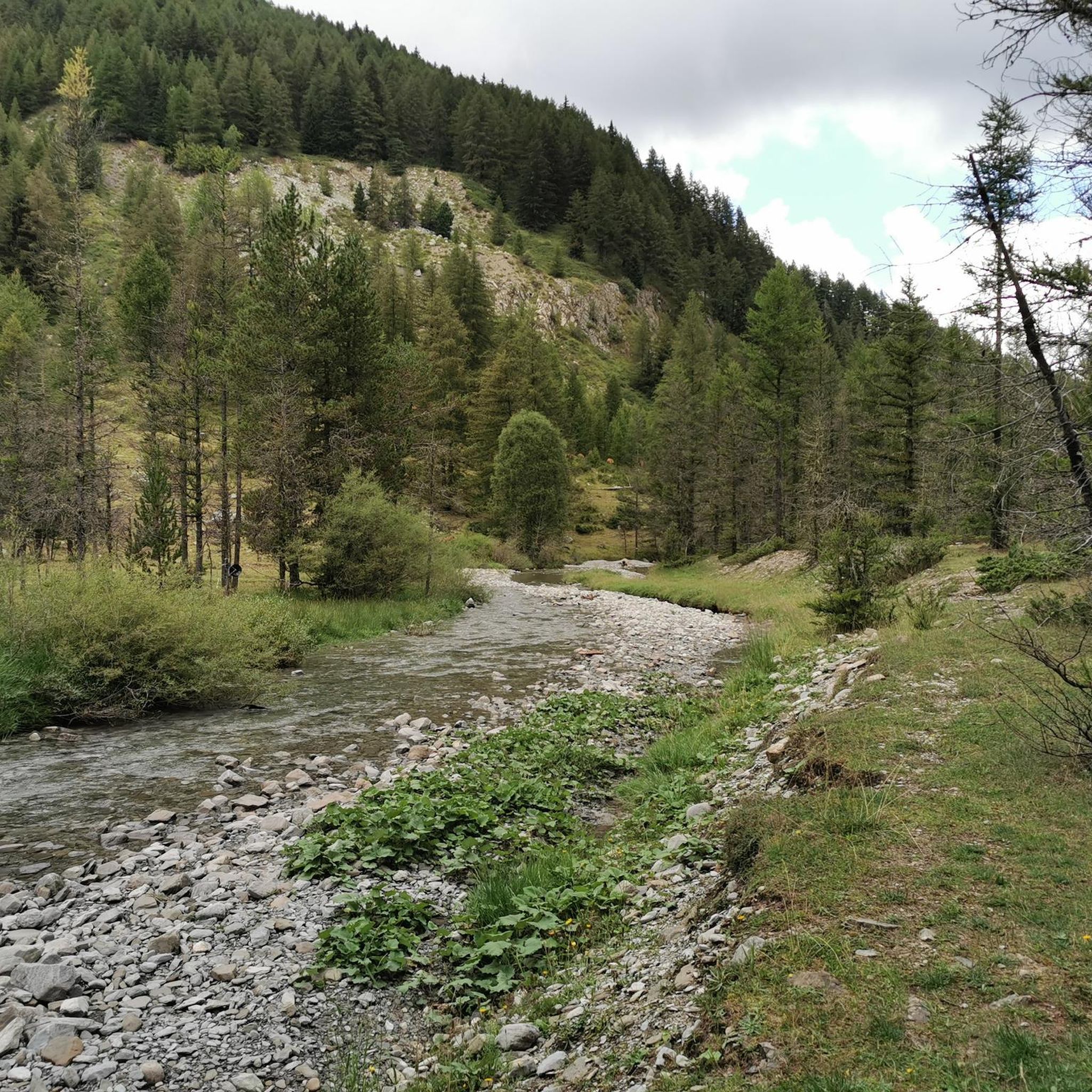
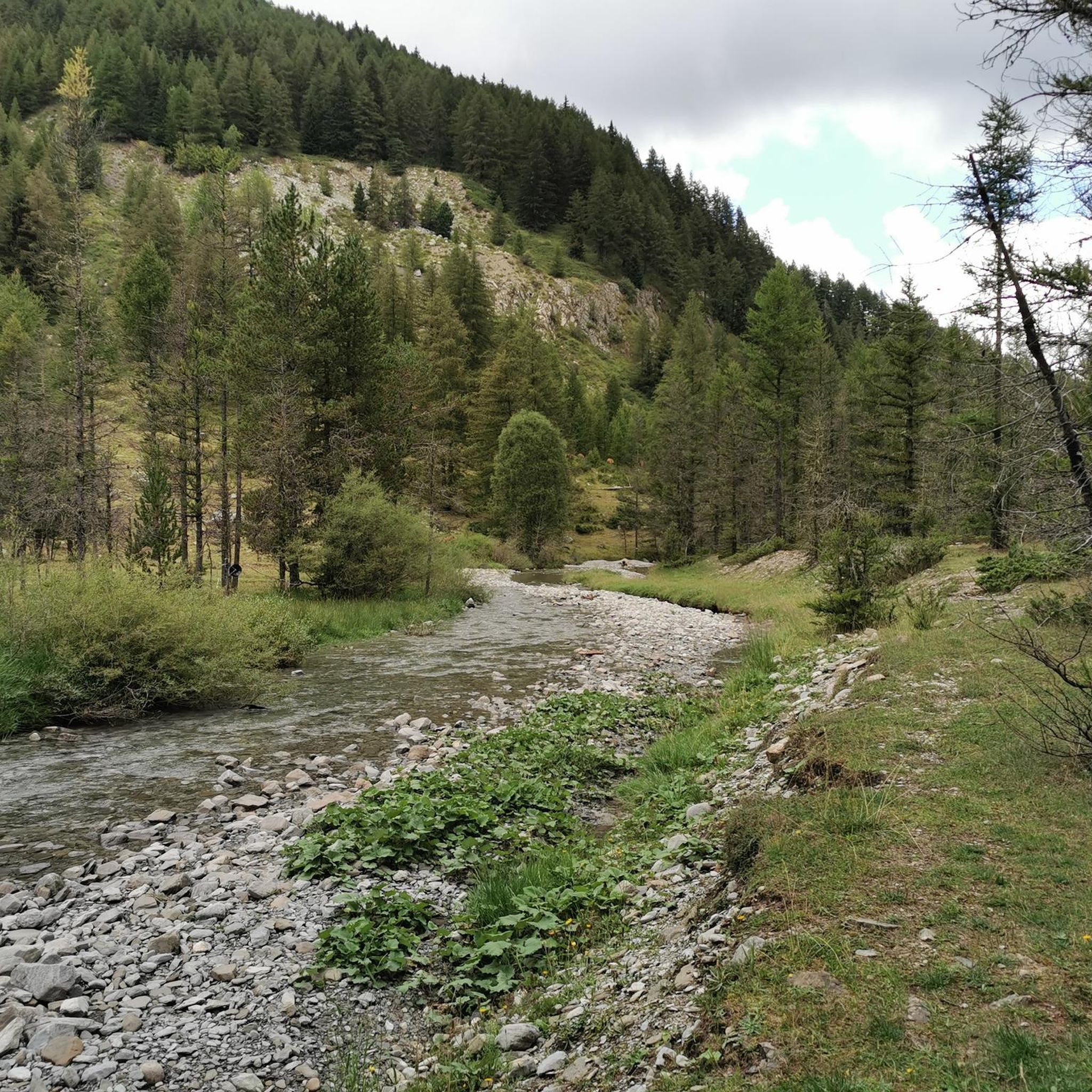
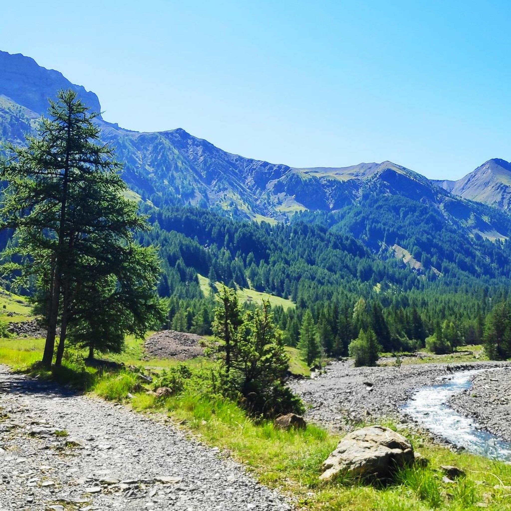
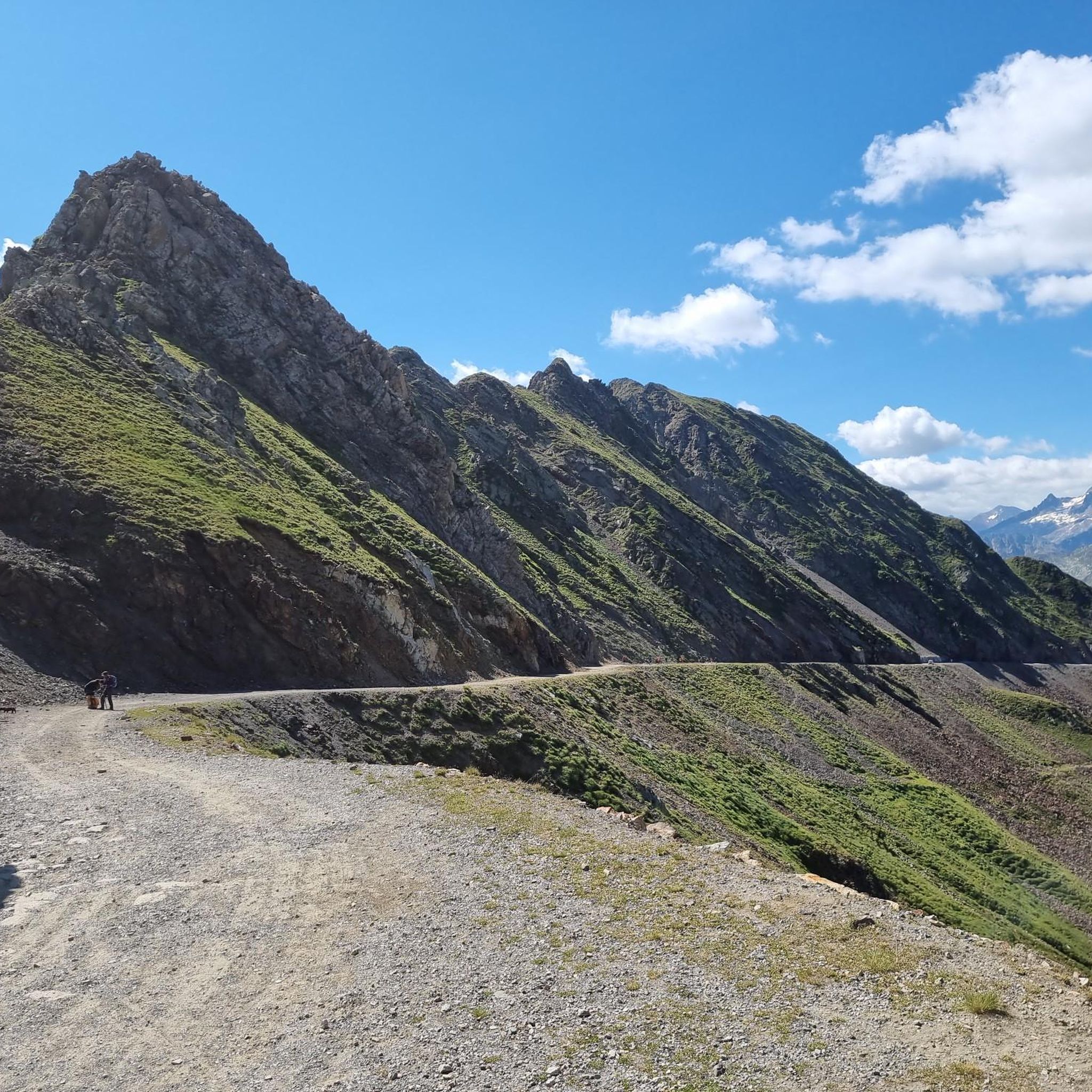
Road cycling routes in Réserve Biologique Dirigée De Laverq traverse a landscape characterized by diverse terrain, from dense larch forests to high-altitude alpine meadows. The region features a network of roads that wind through the expansive Vallon de Laverq, offering varied gradients suitable for different cycling abilities. Cyclists can expect routes that follow river courses, such as the Riou de la Blanche, and ascend towards panoramic viewpoints. The area's physical features include significant elevation changes, with peaks approaching 3,000 meters,…
Last updated: July 9, 2026
5.0
(2)
49
riders
86.1km
05:28
2,500m
2,500m
Hard road ride. Very good fitness required. Some segments of this route may be unpaved and difficult to ride.
5.0
(1)
22
riders
15.9km
01:04
510m
500m
Moderate road ride. Good fitness required. Mostly well-paved surfaces and easy to ride.

Sign up for free
6
riders
183km
10:31
3,990m
3,990m
Hard road ride. Very good fitness required. Some segments of this route may be unpaved and difficult to ride.
6
riders
17.6km
01:00
380m
380m
Moderate road ride. Good fitness required. Mostly well-paved surfaces and easy to ride.
4.0
(2)
419
riders
34.5km
01:50
670m
670m
Moderate road ride. Good fitness required. Mostly well-paved surfaces and easy to ride.
Get access to more routes and recommendations from other explorers.
Sign up for free
Already have an account?
Our route recommendations are based on thousands of hikes, rides, and runs completed by other people on komoot.
Start today with a free account
Your next adventure awaits.
Login or Signup
Popular around Réserve Biologique Dirigée De Laverq
Tips from the Community

A TRUE GATEWAY TO WILD YET TAMED NATURE AND MAJESTIC MOUNTAIN PASSES
0
0

Very nice house with good food, which can also be reached by car via the D908 (except in winter).
1
0

Col de Pontis is a climb located in the Serre Ponçon region. This climb is 5.2 kilometers long, with a positive elevation gain of 507 meters. Col de Pontis has an average gradient of 9.7%. With this gradient, the climb has 521 difficulty points. The highest point is at an altitude of 1,299 meters.
0
0

Great gorge-like entry into the ascent to the Col de la Cayolle
0
0
Beautiful, tranquil campsite. Ideal for many tours in the area.
0
0

I rode this gorge down from Cayolle after climbing the other side. What an incredible place, really beautiful! Too bad it doesn't last long downhill, I would have liked to turn the bike around and do it slowly uphill.
0
0

Please note that the Col d'Allos is closed even to cyclists due to major roadworks.
0
0

The Col des Champs is a mountain pass with an altitude of 2,087 meters and connects Haute-Provence with the Alpes-Maritimes, all within the Mercantour National Park. The pass is part of the so-called Route des Trois Cols, an interesting circular route with three passes above 2,000 meters. This route connects the Col d'Allos with the Col de la Cayolle via this pass, thus linking the Allos Valley (Haute-Verdon) with the Var Valley. Its two slopes share the ruggedness of a major Alpine pass.
0
0
Frequently Asked Questions
How many road cycling routes are available in Réserve Biologique Dirigée De Laverq?
Réserve Biologique Dirigée De Laverq offers a selection of 12 road cycling routes. These routes vary in difficulty, with 6 moderate and 6 difficult options, providing diverse experiences for different skill levels.
What is the best season for road cycling in Réserve Biologique Dirigée De Laverq?
The best season for road cycling in Réserve Biologique Dirigée De Laverq is generally from late spring through early autumn. During these months, the weather is more favorable, and the higher mountain passes are typically clear of snow, allowing access to the full range of routes and panoramic views.
What kind of terrain can I expect on road cycling routes in Réserve Biologique Dirigée De Laverq?
You can expect a varied terrain, from dense larch forests to high-altitude alpine meadows. The region features a network of 'small roads' that wind through the expansive Vallon de Laverq, offering significant elevation changes with peaks approaching 3,000 meters. Some routes may include forest roads, which can be less maintained, offering a mix of surfaces.
Are there any challenging long-distance routes for experienced road cyclists?
Yes, for experienced road cyclists seeking a challenge, routes like the Bachelard Gorges – Col de Pontis loop from Parking Audemard stand out. This difficult route covers 179.8 km with nearly 4,000 meters of elevation gain, offering a demanding and rewarding experience through stunning landscapes.
What natural features can I expect to see while road cycling in Réserve Biologique Dirigée De Laverq?
Road cyclists can enjoy diverse natural beauty, including the expansive Vallon de Laverq with its transition from forests to alpine pastures. You'll also encounter remarkable larch forests, the picturesque Riou de la Blanche river, and unique wetland areas like Les Eaux Tortes, a classified Biological Reserve featuring a magnificent peat bog.
Are there any historical sites or shelters accessible by road bike in the area?
Yes, the area holds historical interest. You might encounter remnants of a 12th-century Chalaisian priory, including the Chapel of the Penitents of Laverq and the Saint-Antoine church. Additionally, the restored Cabane de Plan-Bas, a former pastoral hut, serves as an unguarded shelter that can be a rustic stop along your ride.
Where can I find panoramic views during my road cycling trip?
For breathtaking panoramic views, routes that ascend to higher elevations are ideal. The Tête de la Sestrière, at 2,575 meters, offers a magnificent 360-degree panorama of the Laverq valley and surrounding peaks. Another notable summit is Tête de l'Estrop, providing equally stunning vistas.
Is Réserve Biologique Dirigée De Laverq suitable for family road cycling?
While many routes involve significant elevation changes, there are moderate options that could be suitable for families with some cycling experience. For instance, the Col d'Allos – Allos Pass loop from La Foux d'Allos is a moderate 15.9 km path that offers a scenic ascent without being overly strenuous, making it a good choice for a family outing.
What wildlife might I encounter while cycling in Réserve Biologique Dirigée De Laverq?
The reserve is rich in biodiversity. While cycling through the forests and alpine meadows, you might spot chamois and capercaillie. The unique peat bog of Les Eaux Tortes is home to specific fauna such as the common frog and the False Apollo butterfly, offering glimpses into the region's delicate ecosystem.
What do other road cyclists enjoy most about road cycling in Réserve Biologique Dirigée De Laverq?
The road cycling routes in Réserve Biologique Dirigée De Laverq are highly rated by the komoot community, with an average score of 4.6 stars from around 30 reviews. Cyclists often praise the diverse landscapes, from dense larch forests to high-altitude alpine meadows, and the challenging yet rewarding climbs that lead to spectacular panoramic views.
Are there any circular road cycling routes in Réserve Biologique Dirigée De Laverq?
Yes, several routes are designed as loops, allowing you to start and end at the same point. Examples include the Colmars – Fortifications of Colmars loop from La Foux d'Allos, a difficult 87.6 km route, and the moderate Col d'Allos – Allos Pass loop from La Foux d'Allos, which is 15.9 km long.
Can I find places to eat or stay near the road cycling routes?
While specific cafes and accommodations directly within the reserve are limited, the broader Ubaye Valley, where Laverq is located, offers various options. Nearby towns and villages provide amenities for cyclists, including places to eat, drink, and stay, especially in areas known for their cycling culture like Pra Loup.
Are there options for parking when road cycling in Réserve Biologique Dirigée De Laverq?
Yes, for many road cycling routes in the region, you can find designated parking areas, often near trailheads or in nearby villages. For example, the challenging Bachelard Gorges – Col de Pontis loop starts from Parking Audemard, indicating available parking facilities for cyclists.
Most popular routes in Réserve Biologique Dirigée De Laverq
Most popular attractions in Réserve Biologique Dirigée De Laverq

Get inspired with the komoot mobile app


Explore more
Browse the best Road cycling routes in other regions.
