Réserve Naturelle Nationale Géologique De Haute-Provence
Réserve Naturelle Nationale Géologique De Haute-Provence
The best running trails in Réserve Naturelle Nationale Géologique De Haute-Provence
4.3
(86)
2,944
runners
220
runs
Jogging in Réserve Naturelle Nationale Géologique De Haute-Provence offers access to Europe's largest protected geological reserve, spanning 230,000 hectares. The region is characterized by diverse terrain, including folded and fractured rock layers, limestone cliffs, and ancient marine deposits. This varied topography provides a range of running experiences across its extensive network of trails. Runners can explore landscapes shaped by over 300 million years of geological history.
Best jogging routes in Réserve Naturelle Nationale Géologique De Haute-Provence
- The most popular jogging…
Last updated: September 1, 2026
5.0
(1)
12
runners
9.60km
01:27
470m
470m
Hard run. Very good fitness required. Sure-footedness, sturdy shoes and alpine experience required.
5.0
(1)
22
runners
8.05km
01:09
360m
360m
Hard run. Very good fitness required. Mostly paved surfaces. Suitable for all skill levels.

Sign up for free
5
runners
8.96km
01:03
120m
120m
Moderate run. Good fitness required. Mostly paved surfaces. Suitable for all skill levels.
4.0
(1)
4
runners
8.13km
01:04
320m
320m
Hard run. Very good fitness required. Mostly paved surfaces. Suitable for all skill levels.
6
runners
14.3km
01:42
300m
300m
Hard run. Very good fitness required. Mostly paved surfaces. Suitable for all skill levels.
Get access to more routes and recommendations from other explorers.
Sign up for free
Already have an account?
Our route recommendations are based on thousands of hikes, rides, and runs completed by other people on komoot.
Start today with a free account
Your next adventure awaits.
Login or Signup
Popular around Réserve Naturelle Nationale Géologique De Haute-Provence
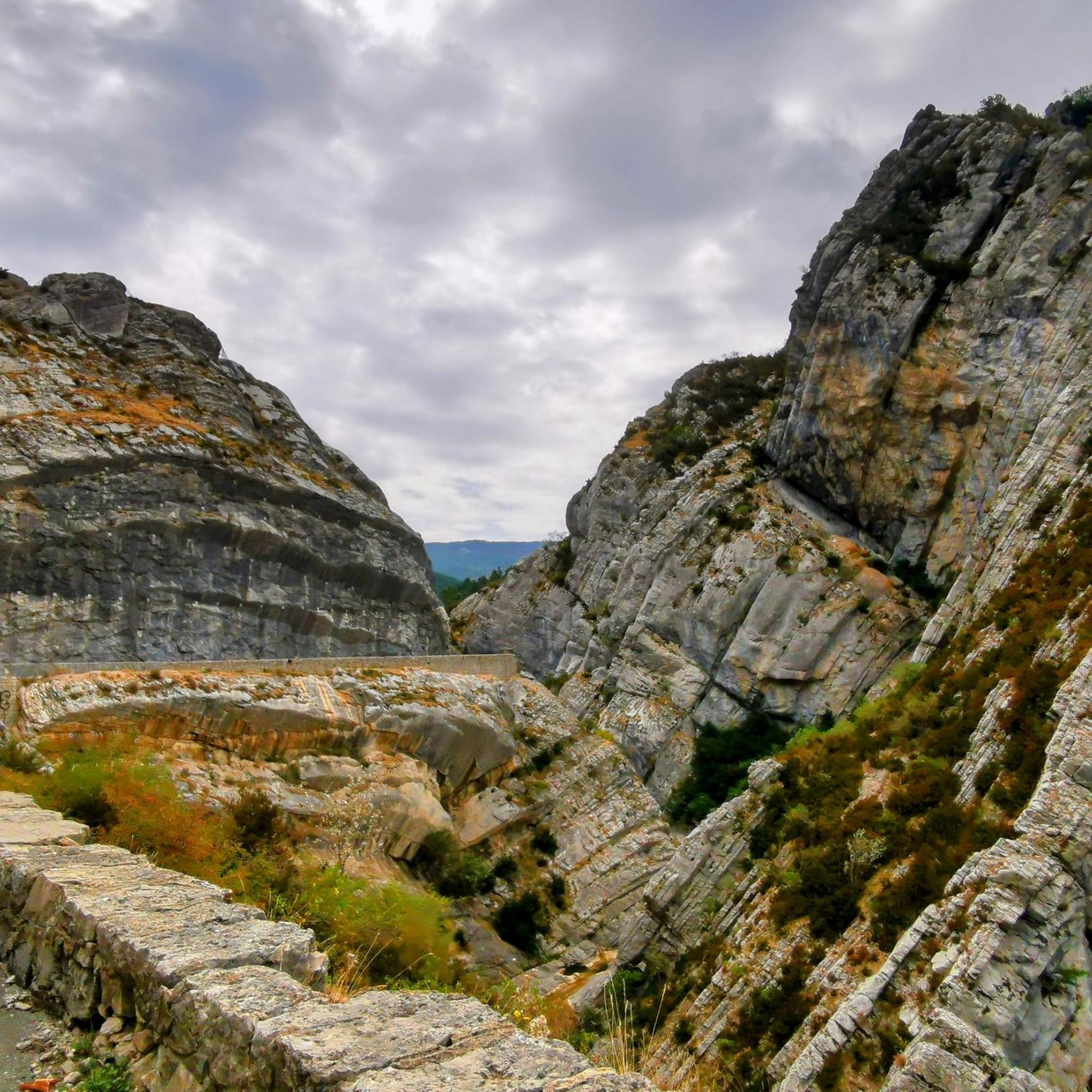
Hiking in Réserve Naturelle Nationale Géologique De Haute-Provence
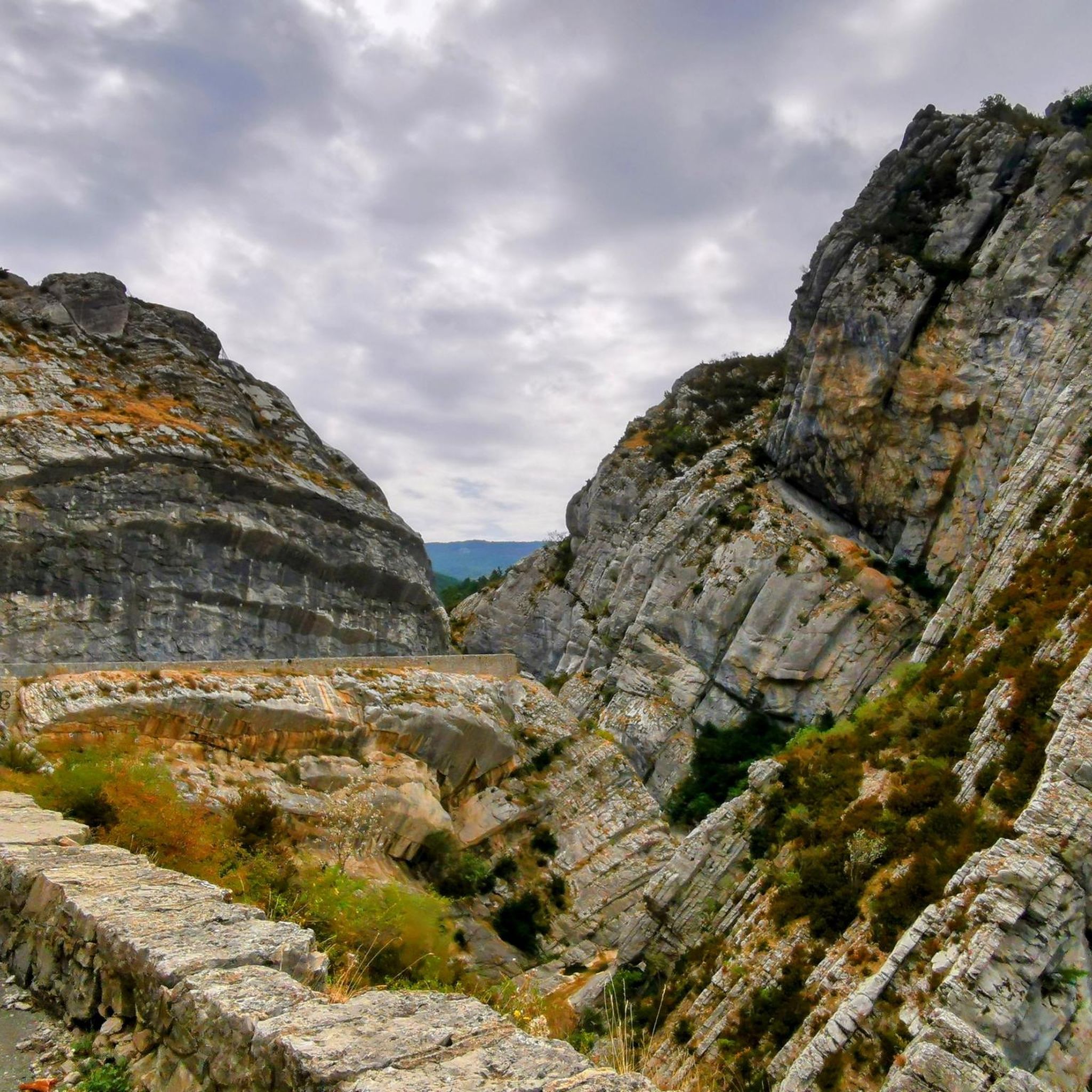
MTB Trails in Réserve Naturelle Nationale Géologique De Haute-Provence
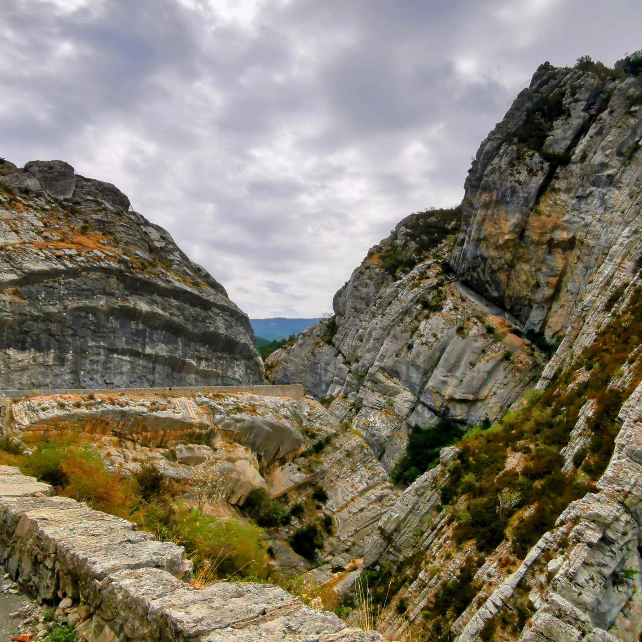
Road Cycling Routes in Réserve Naturelle Nationale Géologique De Haute-Provence

Gravel biking in Réserve Naturelle Nationale Géologique De Haute-Provence
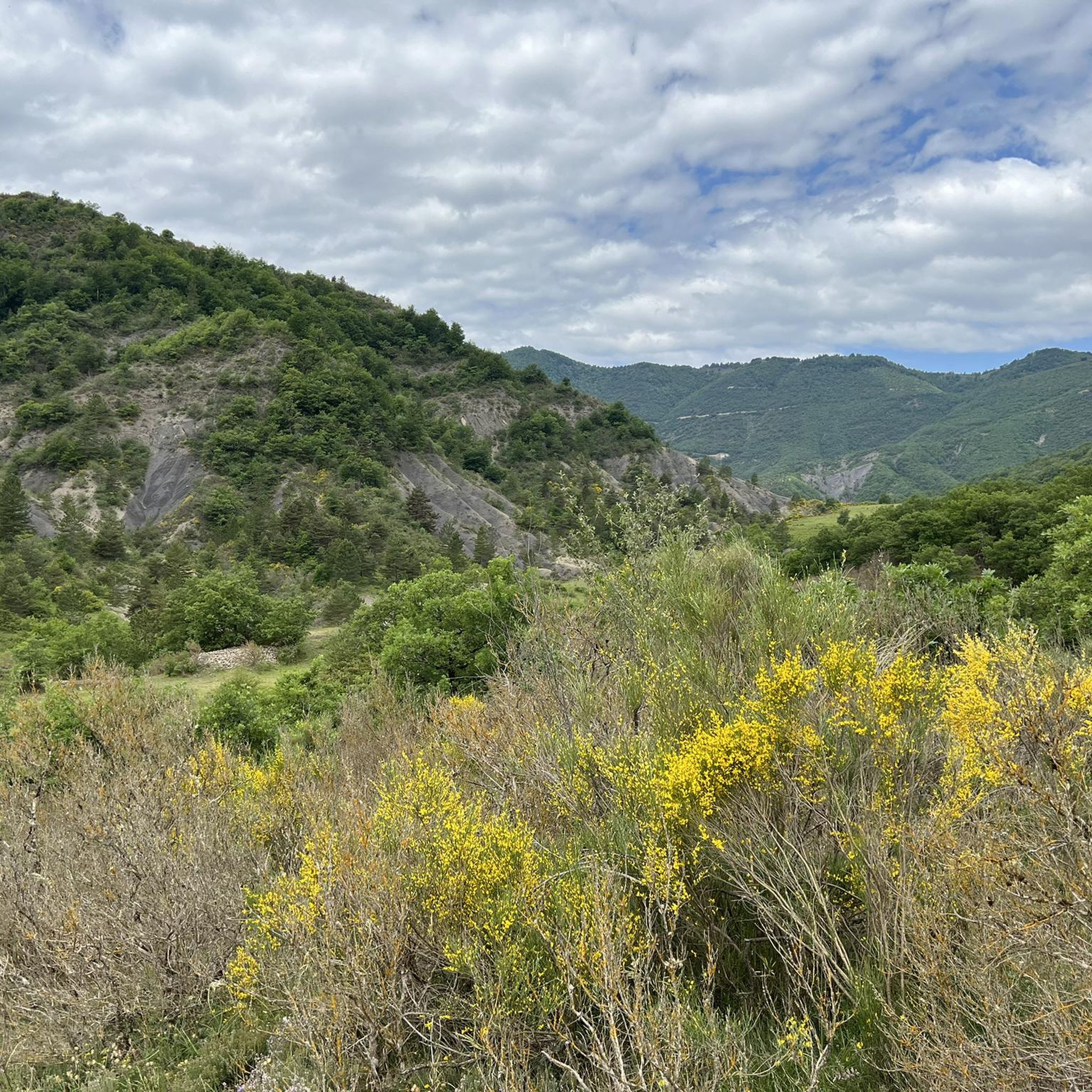
Cycling in Réserve Naturelle Nationale Géologique De Haute-Provence
Tips from the Community

The path that leads to the ichthyosaur fossil goes back up into this beautiful ravine, following a stream which flows among pubescent oaks.
0
0
Ichthyosaur site invites you to discover the fossil of this marine reptile. Measuring more than 4 meters, it is 183 million years old. A platform allows you to observe the fossil of the reptile whose shape is similar to that of sharks.
1
0
The Col du Jas culminates at 840 meters above a small forest. Accessible by a track or a path, it has the particularity of being close to the geological site of the ichthyosaur.
0
0

great ride
0
0

This small village is very rich in fossiliferous sites. It is an eponymous site. It gives its name to a very ancient period of life on earth. Indeed the Barrêmian is a period of the secondary era very rich in ammonites. The concentration is such that some fountains in the village, you will see, are made up of these fossils. The rich collection of paleontologists Marthe and Louis Maurel can be admired in the natural history museum located in the town hall of the village. For fans of more contemporary stories, know that Napoleon Bonaparte spent the night in the village on March 4, 1815.
1
0
This small village is very rich in fossiliferous sites. It is an eponymous site. It gives its name to a very ancient period of life on earth. Indeed the Barrêmian is a period of the secondary era very rich in ammonites. The concentration is such that some fountains in the village, you will see, are made up of these fossils. The rich collection of paleontologists Marthe and Louis Maurel can be admired in the natural history museum located in the town hall of the village. For fans of more contemporary stories, know that Napoleon Bonaparte spent the night in the village on March 4, 1815.
1
0
Frequently Asked Questions
How many running routes are available in the Réserve Naturelle Nationale Géologique De Haute-Provence?
The Réserve Naturelle Nationale Géologique De Haute-Provence offers a vast network of trails, with over 220 running routes available for exploration. These routes cater to various fitness levels, from easy jogs to more challenging trail runs.
What kind of terrain can I expect on the jogging trails in the reserve?
You can expect a diverse range of terrain, reflecting the region's rich geological history. Trails often feature folded and fractured rock layers, limestone cliffs, and areas that were once under the sea. This varied topography ensures that every run offers new sights and challenges across its extensive network of paths.
Are there running routes suitable for beginners or those looking for an easy run?
Yes, the reserve includes routes suitable for all abilities. There are 11 easy running routes, perfect for beginners or those seeking a relaxed jog. For example, the Running loop from Digne-les-Bains is a moderate 5.0 km trail that offers a pleasant run through the local surroundings.
Can I find challenging trail running options in the Réserve Naturelle Nationale Géologique De Haute-Provence?
Absolutely. For those seeking a challenge, the reserve boasts 119 difficult running routes. These trails often feature significant elevation gains and varied terrain, such as the Barrême – Barrême loop from Barrême, a 8.1 km trail with considerable elevation changes, or the Running loop from Col des Lèques, a 7.6 km difficult route.
What notable landmarks or natural features can I see while running?
The reserve is an open-air museum of geology. You might encounter impressive formations like the Clue de Barles canyon, the ancient Ichthyosaur Fossil near La Robine, or the unique Clue de Taulanne Rock Arch. The region's geological history has created spectacular landscapes, including limestone cliffs and areas that were once under the sea.
What is the best time of year for jogging in the Réserve Naturelle Nationale Géologique De Haute-Provence?
The Alpes-de-Haute-Provence benefits from a sunny climate, making most routes accessible throughout the year. However, spring, summer, and autumn are particularly recommended for higher altitude itineraries, offering pleasant temperatures and stunning scenery.
Are there any circular running routes available?
Yes, many of the running routes in the reserve are circular, allowing you to start and finish at the same point. Examples include the popular Running loop from Barrême, a moderate 9.0 km path, or the Bélier Ravine – Col du Jas loop from La Robine-sur-Galabre, a 12.1 km moderate route.
What do other runners enjoy most about jogging in the Réserve Naturelle Nationale Géologique De Haute-Provence?
The running routes in the Réserve Naturelle Nationale Géologique De Haute-Provence are highly rated by the komoot community, with an average score of 4.2 stars from over 80 reviews. Runners often praise the diverse terrain, the stunning geological features, and the extensive network of well-maintained paths that cater to various fitness levels.
Is the Réserve Naturelle Nationale Géologique De Haute-Provence suitable for family-friendly jogging?
Yes, with its wide range of trails, you can find routes suitable for families. Look for the 'easy' graded routes, which are generally shorter and have less elevation gain, making them more accessible for younger runners or those with strollers. The diverse landscapes also offer engaging sights for all ages.
Are dogs allowed on the running trails in the reserve?
While the reserve is a natural area, specific regulations regarding dogs can vary by trail or protected zone. It's generally advisable to keep dogs on a leash to protect local wildlife and ensure the safety of other trail users. Always check local signage or official park guidelines for the specific route you plan to run.
How can I access the running routes by public transport?
Access to the Réserve Naturelle Nationale Géologique De Haute-Provence by public transport can be limited, especially to more remote trailheads. Major towns like Digne-les-Bains may have bus connections, but for many routes, particularly those deeper within the reserve, a car is often the most convenient option for reaching starting points.
Are there specific parking areas for trail access?
Yes, many popular trailheads and discovery circuits within the reserve have designated parking areas. It's recommended to check the specific route details on komoot or local tourism information for parking availability at your chosen starting point.
Most popular routes in Réserve Naturelle Nationale Géologique De Haute-Provence
Most popular attractions in Réserve Naturelle Nationale Géologique De Haute-Provence

Get inspired with the komoot mobile app


Explore more
Browse the best Running Trails & Routes in other regions.
