The best MTB trails in Réserve Biologique Dirigée De Laurenti
4.1
(44)
398
riders
19
rides
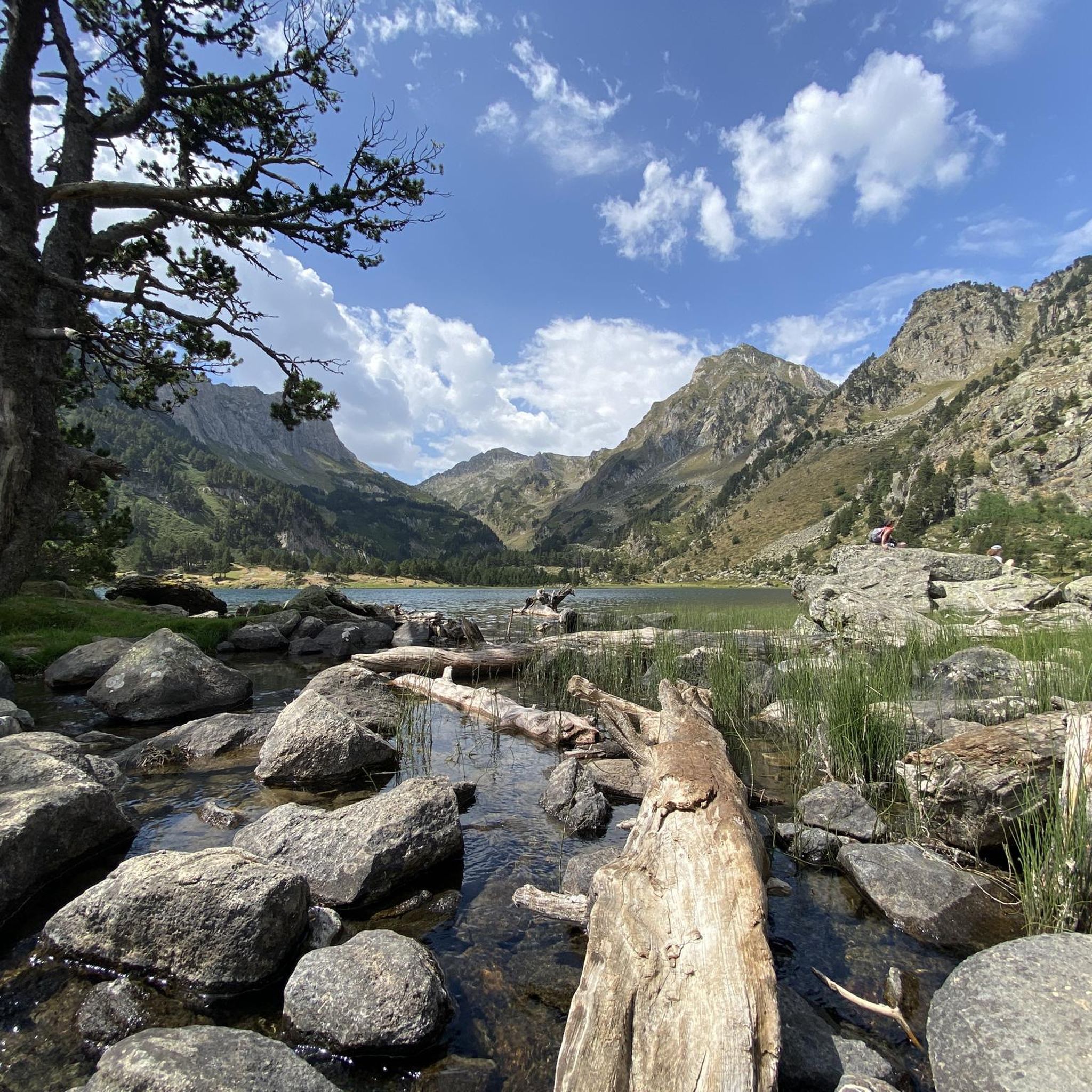
Réserve Biologique Dirigée De Laurenti mountain bike trails traverse a rugged, forested, and lake-filled landscape within the Forêt Domaniale des Hares. This region features varied elevations and natural obstacles, with geological formations including granite and metamorphosed limestone. The area is characterized by dense forests and mountainous topography, providing diverse terrain for mountain biking. The glacial Etang de Laurenti, situated at 1,936 meters, is a prominent natural feature surrounded by steep mountains.
Best mountain bike trails in Réserve Biologique Dirigée De…
Last updated: July 4, 2026
11
riders
15.2km
01:57
670m
660m
Moderate mountain bike ride. Good fitness required. Suitable for all skill levels.
5.0
(1)
11
riders
39.1km
04:01
1,010m
1,010m
Hard mountain bike ride. Very good fitness required. Suitable for all skill levels.

Sign up for free
6
riders
37.1km
02:39
630m
630m
Moderate mountain bike ride. Good fitness required. Suitable for all skill levels.
3.8
(6)
45
riders
19.0km
02:25
810m
810m
Moderate mountain bike ride. Good fitness required. Suitable for all skill levels.
3.0
(1)
16
riders
21.9km
02:46
900m
900m
Hard mountain bike ride. Very good fitness required. Suitable for all skill levels.
Get access to more routes and recommendations from other explorers.
Sign up for free
Already have an account?
Our route recommendations are based on thousands of hikes, rides, and runs completed by other people on komoot.
Start today with a free account
Your next adventure awaits.
Login or Signup
Popular around Réserve Biologique Dirigée De Laurenti
Hiking in Réserve Biologique Dirigée De Laurenti
Road Cycling Routes in Réserve Biologique Dirigée De Laurenti
Cycling in Réserve Biologique Dirigée De Laurenti
Running Trails in Réserve Biologique Dirigée De Laurenti

Gravel biking in Réserve Biologique Dirigée De Laurenti

Mountain Hikes in Réserve Biologique Dirigée De Laurenti
Tips from the Community

This super panoramic trail overlooks the El Galba watercourse, and offers all along a superb panorama of the Galbe valley. You are thus accompanied by fir trees, large green meadows and the mineral, snow-capped peaks in the background.
0
0

A superb view, only available to the most persistent
1
0

A very quiet and beautiful corner
0
0

Exiting through the paths on one side of the road that descends from the station, you will reach the beginning of this section. It's a very fun and fast descent where you can let yourself go on the bike, as it hardly has technical stretches, except for a small stream that depending on the season, may be a bit inconvenient to cross while on the bike. If you're someone who enjoys biking on the snow, it's very beautiful when there's some snow, although you have to be careful because as most of the segment is in the shade, ice can form.
1
0
On one side, very close to the path, you can enjoy this beautiful waterfall created by the Galbe River as it descends towards Esposouille.
1
0
It is said that water from this small artificial lake was used for the ski slope when it was still in operation. In winter, it usually freezes, creating a beautiful scene with the surrounding snow-covered trees. Swimming is not allowed.
1
0
This 2,382 meter high peak was the highest point of the now closed Puyvalador ski resort. The views from the top of the Laurenti and Roc Blanc area are incredible and there are several ways to go up, varying depending on the slope you want when going up and down. Very close to the top there is a small aid hut where it is possible to take shelter. It is also an ideal peak to climb with snowshoes in winter, when it is all snowy.
1
0

Beautiful spot with a view of the valley and the possibility of taking a framed photo. A second spot a few meters higher is also possible.
0
0
Frequently Asked Questions
How many mountain bike trails are available in Réserve Biologique Dirigée De Laurenti?
There are over 15 mountain bike trails documented in Réserve Biologique Dirigée De Laurenti, offering a variety of experiences for different skill levels.
What kind of terrain can I expect on the mountain bike trails?
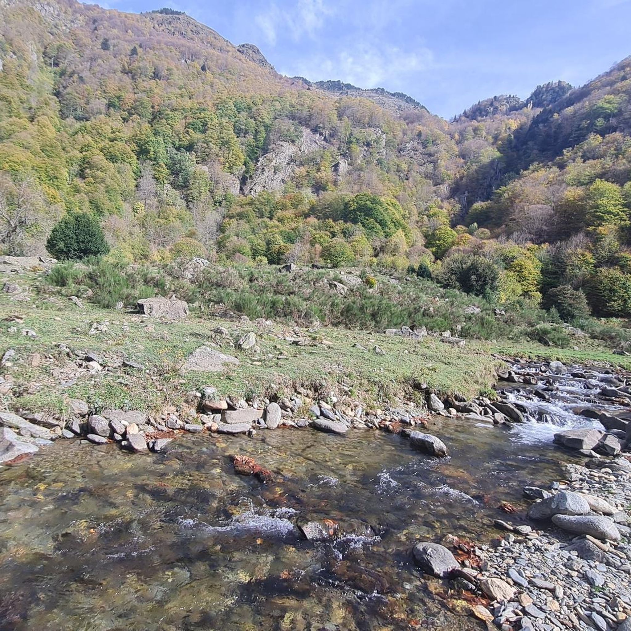
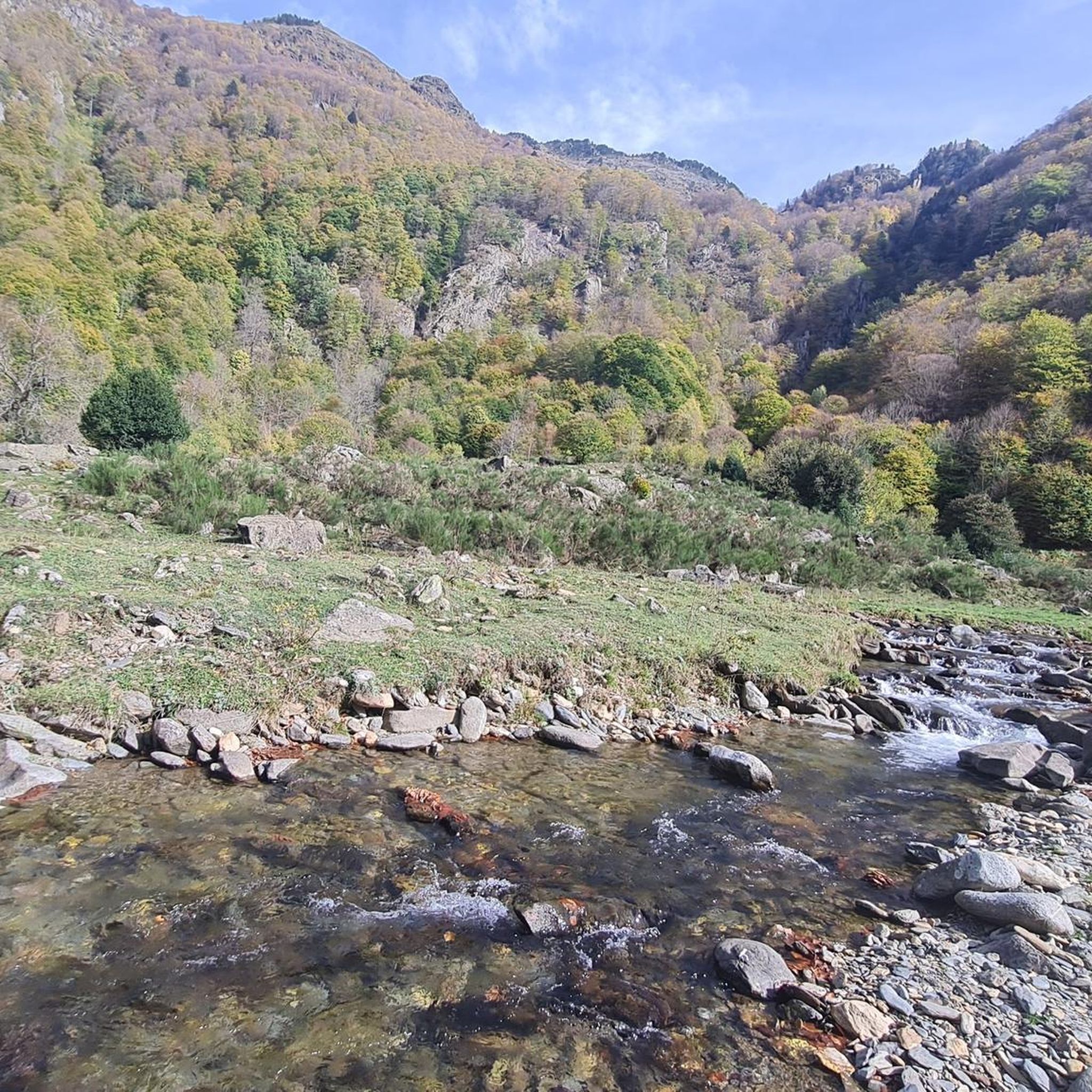
The trails traverse a rugged, forested, and lake-filled landscape within the Forêt Domaniale des Hares. You'll encounter varied elevations, from dense beech and fir forests to higher areas with hook pines, and natural obstacles. The terrain includes both challenging mountain ascents and scenic forest paths.
What is the best time of year for mountain biking in Réserve Biologique Dirigée De Laurenti?
The best time to visit is typically from late spring through early autumn. During these months, the weather is generally more favorable, and the trails are free from snow, offering optimal conditions for mountain biking. Always check local weather conditions before heading out.
Are there mountain bike trails suitable for beginners?
Yes, Réserve Biologique Dirigée De Laurenti offers several easy mountain bike routes. There are 3 trails specifically categorized as easy, providing a gentle introduction to mountain biking in the region.
What are some challenging mountain bike routes for experienced riders?
For experienced riders seeking a challenge, there are 8 difficult trails. One notable option is the On the road to Camporells – Serra da Mauri (2,412 m) loop from Capcir, which spans over 22 km with significant elevation changes.
Are there any circular mountain bike routes?
Yes, many of the mountain bike routes in the reserve are designed as loops, allowing you to start and finish at the same point. Examples include the Ginèvre Peak loop from Station de Puyvalador and the Ch de Quérigut loop from Le Pla.
What natural features or landmarks can I see while mountain biking?
A significant natural feature is the stunning Étang de Laurenti, a glacial lake nestled at 1,936 meters, often regarded as one of Ariège's most picturesque lakes. The majestic Roc Blanc, standing at 2506 meters, also provides a dramatic backdrop and panoramic views for those who venture higher.
Can I find family-friendly mountain bike options?
Yes, the reserve has easy-rated trails that are suitable for families. These routes typically feature less challenging terrain and shorter distances, making them enjoyable for riders of varying ages and skill levels.
Is there parking available for mountain bikers?
While specific parking areas can vary by trailhead, general access points to the Réserve Biologique Dirigée De Laurenti and its surrounding areas often have designated parking. It's advisable to check the starting point of your chosen route for specific parking information.
What do other mountain bikers say about the trails in Réserve Biologique Dirigée De Laurenti?
The mountain bike trails in Réserve Biologique Dirigée De Laurenti are highly rated by the komoot community, with an average score of 4.2 stars from over 50 reviews. Riders often praise the rugged forests, mountainous topography, and the beauty of the glacial lakes.
How long do mountain bike trails typically take to complete?
The duration varies significantly by trail difficulty and length. For example, a moderate route like the Ginèvre Peak loop from Station de Puyvalador typically takes around 1 hour 57 minutes, while more difficult and longer trails can take 2 hours 42 minutes or more.
What is the typical distance of mountain bike routes in the reserve?
The distances of mountain bike routes in Réserve Biologique Dirigée De Laurenti vary widely. You can find shorter routes around 10 km, such as the On the road to Camporells – Ascent to Serra da Mauri loop from Capcir, up to longer, more challenging trails exceeding 34 km, like the Mijanès – Ch de Quérigut loop from Le Pla.
Most popular routes in Réserve Biologique Dirigée De Laurenti

Get inspired with the komoot mobile app


Explore more
Browse the best MTB trails in other regions.
