The best MTB trails in Réserve Biologique Intégrale Des Gorges De La Frau
4.0
(50)
326
riders
47
rides
Mountain bike trails in Réserve Biologique Intégrale Des Gorges De La Frau offer challenging routes through a dramatic landscape. The region is characterized by deep canyons, towering limestone cliffs, and ancient forests carved by the Hers-Vif river. While the integral biological reserve itself is strictly protected, the surrounding area provides demanding terrain for experienced riders. Mountain biking here often involves significant elevation gains and technical sections.
Best mountain bike trails in Réserve Biologique Intégrale Des Gorges De La Frau
- The…
Last updated: July 2, 2026
4.0
(1)
4
riders
36.6km
03:21
850m
850m
Moderate mountain bike ride. Good fitness required. Advanced riding skills necessary.
4.5
(2)
17
riders
19.8km
01:44
470m
470m
Moderate mountain bike ride. Good fitness required. Advanced riding skills necessary.

Sign up for free
5.0
(1)
21
riders
18.4km
02:06
620m
630m
Moderate mountain bike ride. Good fitness required. Advanced riding skills necessary.
5.0
(2)
8
riders
47.0km
03:02
400m
400m
Moderate mountain bike ride. Good fitness required. Advanced riding skills necessary.
4.0
(2)
6
riders
38.4km
03:46
1,030m
1,030m
Hard mountain bike ride. Very good fitness required. Advanced riding skills necessary.
Get access to more routes and recommendations from other explorers.
Sign up for free
Already have an account?
Our route recommendations are based on thousands of hikes, rides, and runs completed by other people on komoot.
Start today with a free account
Your next adventure awaits.
Login or Signup
Popular around Réserve Biologique Intégrale Des Gorges De La Frau

Tips from the Community

From Comus, so in the direction of the descent by electric mountain bike. Magnificent and completely doable. We cautiously dismounted on some sections of 50-100 meters which were too steep and stony. However, in the opposite direction, forget it!
0
0

In the 17th century, Louis de Froidour, on behalf of Colbert, had the royal forest of Prades created, which he had marked out with stone markers bearing the Fleur de Lys, the royal emblem.
14
0
Prades is a small village in the Ariège Pyrenees, situated at an altitude of 1,250 metres, in the heart of Cathar country. Its location is privileged, on the border with the Aude.
22
0
The Col de Marmare-Chioula is an 18.6-kilometer long Category 1 pass. It is located in Luzenac.
16
0
The city walls and remains of Cathars
19
0
vast and peaceful forests. The Prades State Forest is a public forest in the commune of Prades. It is part of the Ariège forests and is subject to the French forestry regime.
15
0
The Col de Marmare from Luzenac is a climb in the Ariège region. It is 16.8 kilometers long and climbs 828 meters.
0
0
The Col du Chioula from Prades is a climb in the Ariège region. It is 2.3 kilometers long and climbs 72 meters.
0
0
Frequently Asked Questions
Is mountain biking permitted within the Réserve Biologique Intégrale Des Gorges De La Frau?
The Réserve Biologique Intégrale Des Gorges De La Frau is a strictly protected area where human intervention and trail development are excluded to preserve its natural state. Therefore, mountain biking is generally not permitted within the integral biological reserve itself. However, the broader Gorges de la Frau region offers challenging and rewarding mountain biking opportunities on trails surrounding the reserve.
What is the typical difficulty level for mountain bike trails in the Gorges de la Frau region?
Mountain biking in the Gorges de la Frau region is primarily suited for experienced riders. The trails often involve significant elevation gains and can be technically demanding, with some sections requiring riders to push their bikes due to steepness or rocky terrain. Out of 45 available routes, 29 are rated as moderate and 16 as difficult, with no easy routes available.
Are there any family-friendly mountain bike trails in the Gorges de la Frau area?
Given the challenging nature of the terrain, with significant elevation gains and technical sections, the Gorges de la Frau region does not offer trails typically classified as family-friendly or suitable for beginners. The routes are generally geared towards experienced mountain bikers.
Can I bring my dog on the mountain bike trails in the Gorges de la Frau region?
While specific regulations for dogs on mountain bike trails can vary, it's important to remember that the Gorges de la Frau region is known for its protected natural environment and challenging terrain. If you plan to bring your dog, ensure they are well-behaved, physically capable of handling strenuous rides, and kept on a leash to protect local wildlife and respect other trail users. Always check local signage for any specific restrictions.
What kind of landscapes and natural features can I expect to see while mountain biking here?
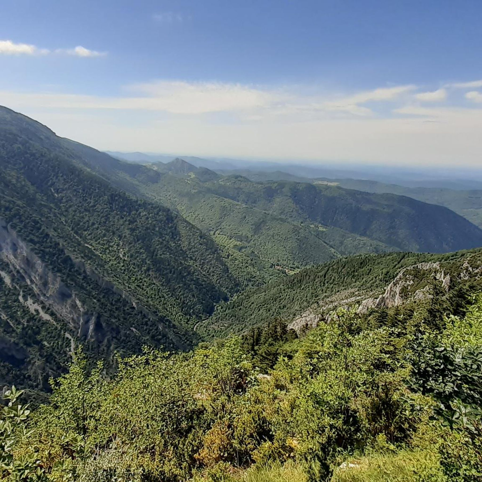
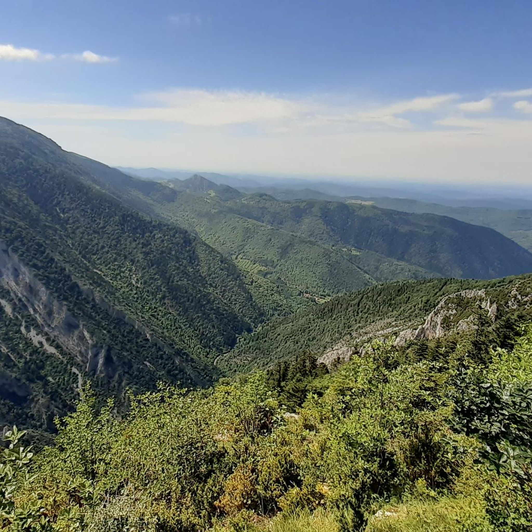
The Gorges de la Frau are renowned for their dramatic natural beauty. You'll encounter deep canyons carved by the Hers-Vif river, towering limestone cliffs, and ancient forests of conifers and beech trees. The region also features the tranquil Moulzoune Pond at 1,385 meters altitude, offering a peaceful retreat amidst the rugged landscape.
Are there any historical sites or landmarks along the mountain bike routes?
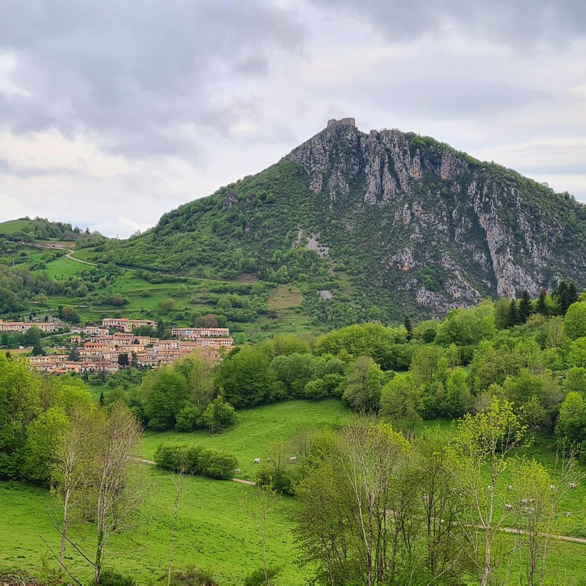
Yes, the Gorges de la Frau region is rich in history. It forms part of the 'Chemin des Bonshommes' (GR 107), an ancient Cathar trail. Routes like the Comus – Camurac Castle loop from Montaillou and the Col du Chioula – Montaillou Castle loop from Prades offer varied terrain and views of historical sites, including Montaillou Castle.
What is the best time of year to go mountain biking in the Gorges de la Frau?
The Gorges de la Frau region can be enjoyed across multiple seasons, but spring and autumn generally offer the most pleasant conditions with milder temperatures and vibrant foliage. Summer can be warm, but the deep canyons and ancient forests provide naturally cooler environments. Winter mountain biking is possible but may present additional challenges due to snow or ice, especially at higher elevations.
Are there many loop mountain bike trails available in the Gorges de la Frau region?
Yes, many of the mountain bike routes in the Gorges de la Frau region are designed as loops, allowing you to start and finish at the same point. Examples include the challenging Gorges of the Frau – Gorges de la Frau loop from Fougax-et-Barrineuf, or the moderate Cross of the Seven Brothers – Foret,domaniale de niave loop from Montaillou.
What do other mountain bikers enjoy most about the Gorges de la Frau trails?
The Gorges de la Frau region is highly rated by the komoot community, with an average score of 4.0 stars from over 50 reviews. Reviewers consistently praise the breathtaking scenery, the challenging nature of the trails, and the sense of adventure found amidst the dramatic canyons and ancient forests.
Where can I find parking for mountain biking in the Gorges de la Frau area?
Parking availability can vary depending on your chosen starting point. Many routes begin near villages or designated trailheads. For example, routes like the Montaillou Castle – Fraai pad loop from Montaillou suggest starting from Montaillou, where you can typically find parking facilities. Always check the specific route details on komoot for recommended parking locations.
Are there any cafes or places to eat near the mountain bike trails?
While the Gorges de la Frau region is wild and remote, you can find amenities in nearby villages. For instance, Montaillou, Comus, and Bélesta are small communities that may offer cafes or places to eat, especially during peak seasons. It's always advisable to check opening hours in advance, particularly in smaller, more rural locations.
How long do mountain bike trails typically take to complete in this region?
The duration of mountain bike trails in the Gorges de la Frau region varies significantly based on distance, elevation, and technical difficulty. For example, a moderate route like the Comus – Camurac Castle loop from Montaillou (19.7 km) might take around 1 hour 44 minutes, while a difficult 38.2 km route like the Gorges of the Frau – Gorges de la Frau loop from Fougax-et-Barrineuf can take over 3 hours 46 minutes.
Most popular routes in Réserve Biologique Intégrale Des Gorges De La Frau
Most popular attractions in Réserve Biologique Intégrale Des Gorges De La Frau

Get inspired with the komoot mobile app


Explore more
Browse the best MTB trails in other regions.
