The best walks and hikes in Massif Du Mézenc
4.5
(708)
5,267
hikers
47
hikes
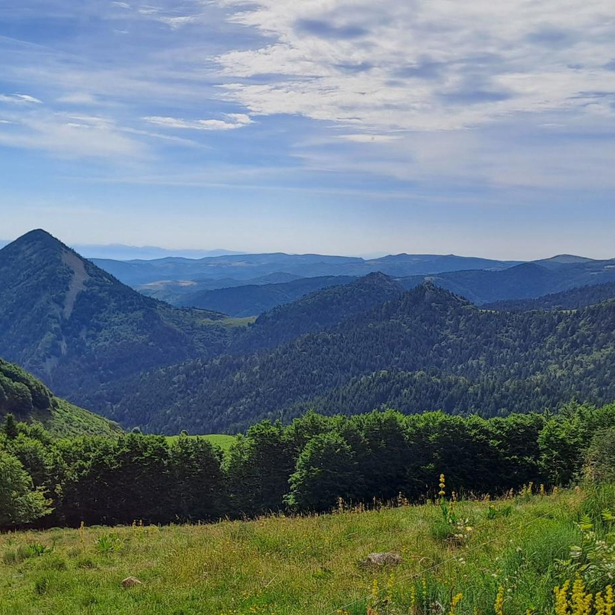
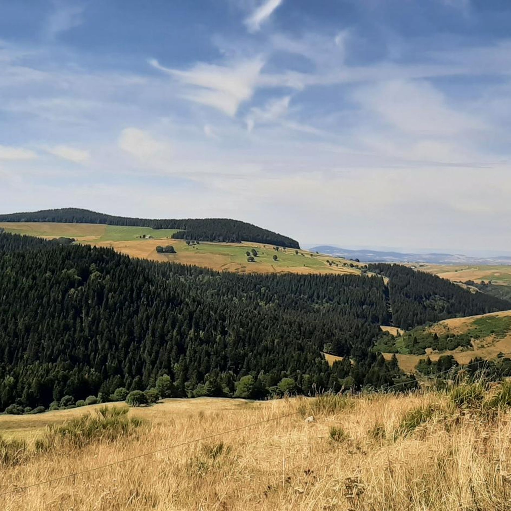
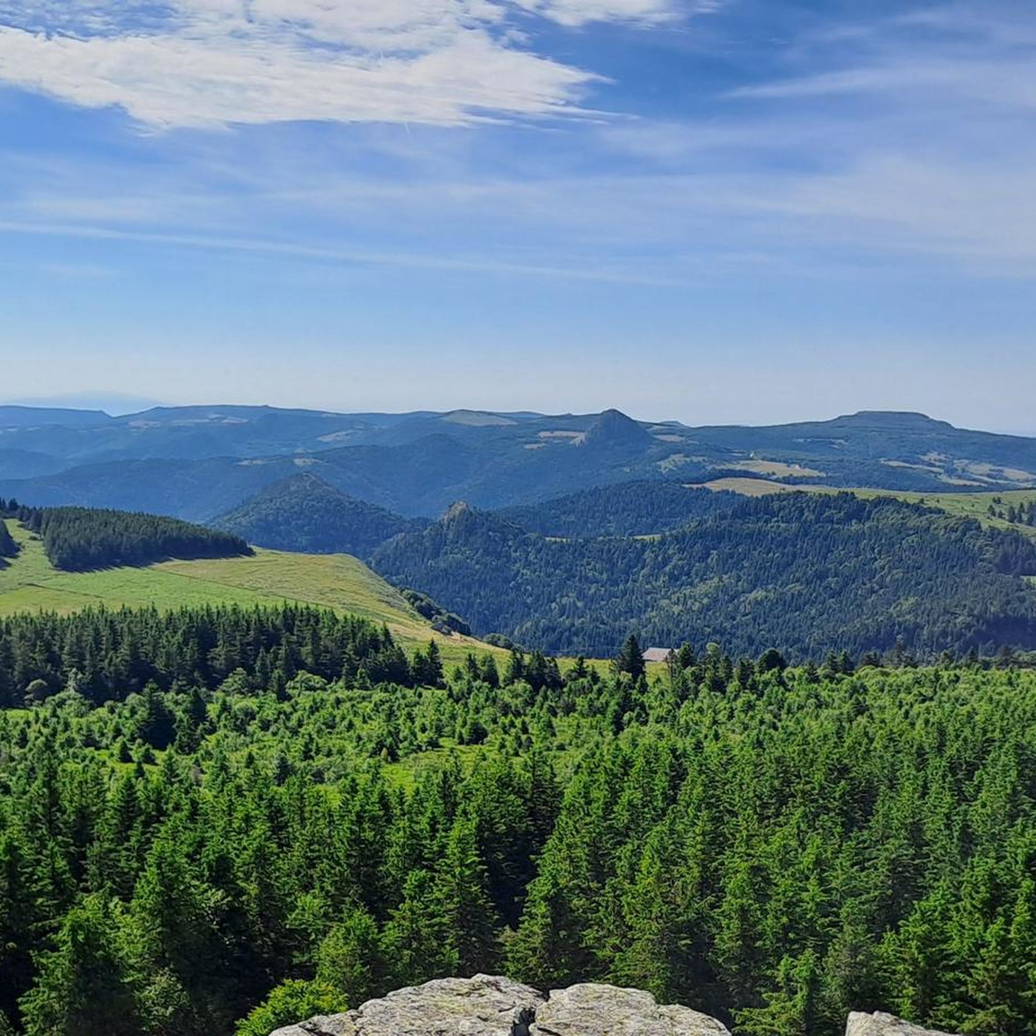
Hiking in Massif du Mézenc offers diverse trails across a landscape shaped by volcanic activity, featuring distinctive "sucs" or volcanic eminences. The region is characterized by high plateaus, extensive natural pastures, and beech forests. Notable landmarks include Mont Mézenc, the highest point of the massif, and Mont Gerbier de Jonc, known as the source of the Loire River. The terrain provides varied hiking experiences, from accessible loops to more challenging ascents.
Best hiking trails in Massif du Mézenc
- The most popular hiking route is Mount Mezenc - loop starting from Les Estables - Regional Natural Park of the Ardeche Mountains, a 4.9 miles (7.9 km) trail that takes 2 hours 44 minutes to complete. This route ascends to the massif's highest point, offering panoramic views.
- Another top favourite among local hikers is Le Suc de Sara – loop in the Parc naturel régional des Monts d'Ardèche, a moderate 4.5 miles (7.2 km) path. This trail explores the unique volcanic landscape around Suc de Sara within the regional natural park.
- Local hikers also love the North summit of Mont Mézenc – South summit of Mont Mézenc loop from Les Estables, a 4.0 miles (6.4 km) trail leading through the summits of Mont Mézenc, often completed in about 2 hours 9 minutes.
- Hiking in Massif du Mézenc is defined by volcanic peaks, high plateaus, and beech forests. The network offers options for different ability levels, from moderate loops to more difficult ascents.
- The routes in Massif du Mézenc are highly rated by the komoot community with an average score of 4.6 stars from over 260 reviews. More than 2,300 hikers have used komoot to explore Massif du Mézenc's varied terrain.
Last updated: August 18, 2026
4.7
(77)
483
hikers
Hard hike. Good fitness required. Sure-footedness, sturdy shoes and alpine experience required.
4.5
(13)
53
hikers
7.22km
02:31
360m
360m
Moderate hike. Good fitness required. Mostly accessible paths. Sure-footedness required.

Sign up for free
4.7
(22)
436
hikers
Moderate hike. Good fitness required. Mostly accessible paths. Sure-footedness required.
4.7
(43)
293
hikers
Hard hike. Very good fitness required. Mostly accessible paths. Sure-footedness required.
4.6
(5)
28
hikers
Moderate hike. Good fitness required. Mostly accessible paths. Sure-footedness required.
Get access to more routes and recommendations from other explorers.
Sign up for free
Already have an account?
Our route recommendations are based on thousands of hikes, rides, and runs completed by other people on komoot.
Start today with a free account
Your next adventure awaits.
Login or Signup

Tips from the Community

Lots of hikers. Be polite and share the trail. The descent with the small steps is a treat.
0
0

pretty flowers, pretty trees, pretty views, but what more could you ask for...oh yes, a windbreaker, because the mistral makes his grandmother cold.
0
0
If you are a short person and you venture into the fields of erigeron, say goodbye to your family and friends... it is very likely that they will never see you again.
0
0
If you are short, do not venture into the fields of erigeron, it is a one-way trip.
0
0
Who built this? Probably a grion who was passing by...
0
0
The cross is a bit ugly but it is not for it that we come to frolic in these green lands but rather for this landscape that would make a Caribou pale.
0
0
landscape that would make a caribou pale
0
0

A pass at an altitude of over 1500 m. It is the highest in Ardèche.
0
0
Frequently Asked Questions
How many hiking trails are available in Massif Du Mézenc?
Massif Du Mézenc offers a wide variety of hiking experiences, with over 45 trails documented on komoot. These range from easy strolls to more challenging ascents, catering to different fitness levels.
What are the typical difficulty levels for hiking in Massif Du Mézenc?
The trails in Massif Du Mézenc offer a good mix of difficulty. You'll find approximately 8 easy routes, around 30 moderate trails, and about 10 more difficult options, ensuring there's something for every hiker.
What natural landmarks or features can I expect to see on a hike in Massif Du Mézenc?
The region is defined by its unique volcanic landscape. You can explore iconic 'sucs' like Mont Mézenc, the highest point, and Suc de Sara. Other notable features include the source of the Loire River at Mont Gerbier de Jonc, vast high plateaus, beech forests, and impressive basaltic lava flows. Many trails offer views of these distinctive formations.
Are there any circular hiking routes in Massif Du Mézenc?
Yes, many of the best hikes in Massif Du Mézenc are circular, allowing you to start and end at the same point. For example, the Le Suc de Sara – loop offers a great way to experience the volcanic landscape, and the North summit of Mont Mézenc – South summit of Mont Mézenc loop from Les Estables provides stunning summit views.
What is the best time of year for hiking in Massif Du Mézenc?
The Massif Du Mézenc is beautiful year-round. Spring and autumn offer pleasant temperatures and vibrant colors, while summer is ideal for enjoying the high plateaus. In winter, the area transforms into a destination for snowshoeing and cross-country skiing, particularly around Les Estables, though some hiking trails may be snow-covered.
Are there family-friendly hiking options in Massif Du Mézenc?
Yes, there are several easier routes suitable for families. While specific 'family-friendly' designations aren't always available, many of the shorter, less steep trails, especially those around villages or lower elevations, can be enjoyed by families with children. Look for routes marked as 'easy' or 'moderate' with shorter distances.
Can I bring my dog on the hiking trails in Massif Du Mézenc?
Generally, dogs are welcome on trails in the Massif Du Mézenc, but it's crucial to keep them on a leash, especially in areas with livestock (like sheep or cattle) or within protected natural zones. Always respect local signage and wildlife. Some areas, particularly within the Parc Naturel Régional des Monts d'Ardèche, may have specific regulations.
Where can I find the best panoramic views in Massif Du Mézenc?
For truly breathtaking panoramic views, an ascent to the summit of Mont Mézenc is highly recommended. From its peak, you can often see the Alps, Monts d'Auvergne, and the Velay. Other excellent viewpoints include Col de la Croix Peccata and various points along the high plateaus.
What do other hikers say about their experience in Massif Du Mézenc?
The Massif Du Mézenc is highly rated by the komoot community, with an average score of 4.6 stars from over 260 reviews. Hikers often praise the diverse volcanic landscapes, the stunning panoramic views from Mont Mézenc, and the well-maintained trails that cater to various skill levels.
Are there any long-distance hiking routes that pass through Massif Du Mézenc?
Yes, several long-distance trails traverse the Massif Du Mézenc, including sections of the GR7, GR73, and GR40. These routes offer extended hiking opportunities for those looking to explore the region over multiple days, connecting various natural sites and villages.
Is public transport available to reach hiking trailheads in Massif Du Mézenc?
Public transport options to specific trailheads can be limited in this rural region. While some villages like Les Estables or Le Chambon-sur-Lignon may have bus services, it's advisable to check local schedules in advance. Many hikers prefer to use personal vehicles to access the more remote starting points.
Where can I find parking for hiking trails in Massif Du Mézenc?
Parking is generally available at or near popular trailheads and in villages such as Les Estables or Chaudeyrolles, which serve as common starting points for hikes to Mont Mézenc and other volcanic features. Look for designated parking areas, especially near tourist information points or village centers.
Are there any less crowded hiking trails in Massif Du Mézenc?
While popular spots like Mont Mézenc can attract more visitors, the vastness of the massif means you can often find quieter trails. Exploring some of the local PR (Petite Randonnée) routes or trails further from the main peaks can offer a more solitary experience amidst the natural pastures and forests.
Most popular routes in Massif Du Mézenc
Most popular attractions in Massif Du Mézenc

Get inspired with the komoot mobile app


Explore more
Browse the best Hikes in other regions.
