The best MTB trails in Prairies Inondables Du Val De Saône
4.4
(416)
2,085
riders
297
rides
Mountain biking in Prairies Inondables Du Val De Saône offers routes through a unique wetland environment shaped by the slow-flowing Saône River. The terrain features vast floodable meadows, alluvial forests, and a network of oxbow lakes. Riders can also encounter features like acidic peat bogs and sand dunes, providing varied surfaces for mountain bike trails. The region's landscape is generally flat to gently undulating, with some routes incorporating more elevation.
Best mountain bike trails in Prairies Inondables Du Val De…
Last updated: July 11, 2026
4.6
(24)
46
riders
45.2km
03:50
670m
670m
Moderate mountain bike ride. Good fitness required. Advanced riding skills necessary.
4.4
(5)
28
riders
29.9km
01:34
30m
30m
Easy mountain bike ride. Great for any fitness level. Suitable for all skill levels.

Sign up for free
4.5
(2)
41
riders
72.0km
03:48
140m
140m
Moderate mountain bike ride. Good fitness required. Suitable for all skill levels.
4.7
(3)
21
riders
47.2km
02:43
120m
120m
Moderate mountain bike ride. Good fitness required. Advanced riding skills necessary.
5.0
(2)
17
riders
48.3km
04:26
980m
980m
Hard mountain bike ride. Very good fitness required. Advanced riding skills necessary.
Get access to more routes and recommendations from other explorers.
Sign up for free
Already have an account?
Our route recommendations are based on thousands of hikes, rides, and runs completed by other people on komoot.
Start today with a free account
Your next adventure awaits.
Login or Signup
Popular around Prairies Inondables Du Val De Saône

Tips from the Community

An idyllic, paved cycle path directly on the riverbank. It is a section of the well-known French long-distance cycle route „La Voie Bleue - Moselle-Saône Radweg" (Route V50) along the Saône. The entire long-distance cycle route covers around 700 kilometers from the Luxembourg border town of Apach (near the tripoint) to Lyon. The Saône section follows the natural meanders of the Saône, passing meadows, historic villages, and well-known wine-growing regions such as Mâcon. The route is mostly flat on former towpaths.
0
0
An idyllic, asphalted cycle path right on the riverbank. This is a section of the well-known French long-distance cycle route "La Voie Bleue - Moselle-Saône Radweg" (Route V50) along the Saône. The entire long-distance cycle route runs for around 700 kilometers from the French border town of Apach (near the tripoint) to Lyon. The Saône section follows the natural meanders of the Saône, passing meadows, historic villages, and well-known wine-growing regions such as Mâcon. The route runs mostly flat on former towpaths.
0
0
The Plan d'Eau de Fleurville (also known as Gravière de Fleurville) is a beautiful recreational and natural lake in the Saône-et-Loire department. The body of water is located directly on the border of the municipalities of Saint-Albain and Fleurville on the Saône. It is a former gravel pit that has been renatured and is today an important refuge for biodiversity as well as a popular excursion destination. The lake is equipped with picnic tables, fishing piers, and observation points. It is an excellent place for hiking, cycling (near the Voie Bleue cycle path), and birdwatching (e.g. for storks and migratory birds).
0
0
The historic old town of Tournus, a French town in the Burgundy region (Saône-et-Loire department). Main attractions: Saint-Philibert Abbey Church: One of France's most significant Romanesque structures from the 11th and 12th centuries. Picturesque streets: The old town is characterized by narrow, right-angled streets, colorful facades, and Mediterranean-style flat roofs with round tiles. Hôtel-Dieu: A historic hospital with a well-preserved, ornate 17th-century pharmacy. Greuze Monument: A statue in honor of the famous painter Jean-Baptiste Greuze, born in Tournus in 1725.
1
0
The Abbey Church of Saint-Philibert in Tournus is one of the most important examples of early Romanesque architecture in Central Europe. The mighty west facade, with its embrasures and massive walls, is reminiscent of a medieval fortress. The nave features unique, transversely running barrel vaults, which create an extraordinary play of light inside. An ancient crypt lies beneath the choir, while the upper church, dedicated to Saint Michael, is located above the narthex.
2
0
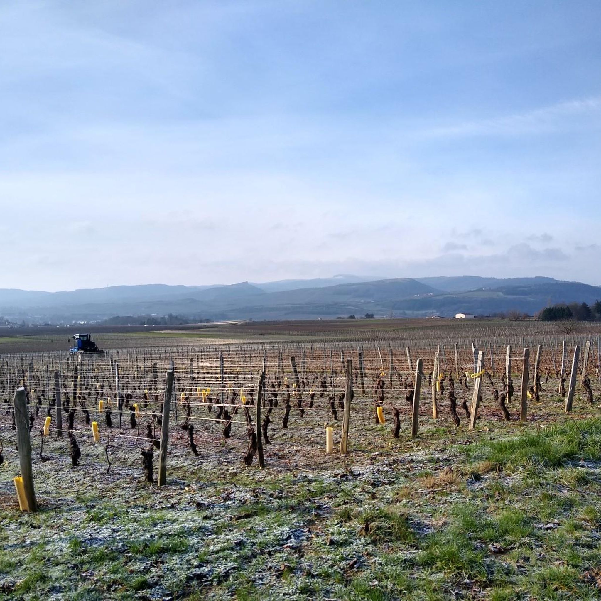
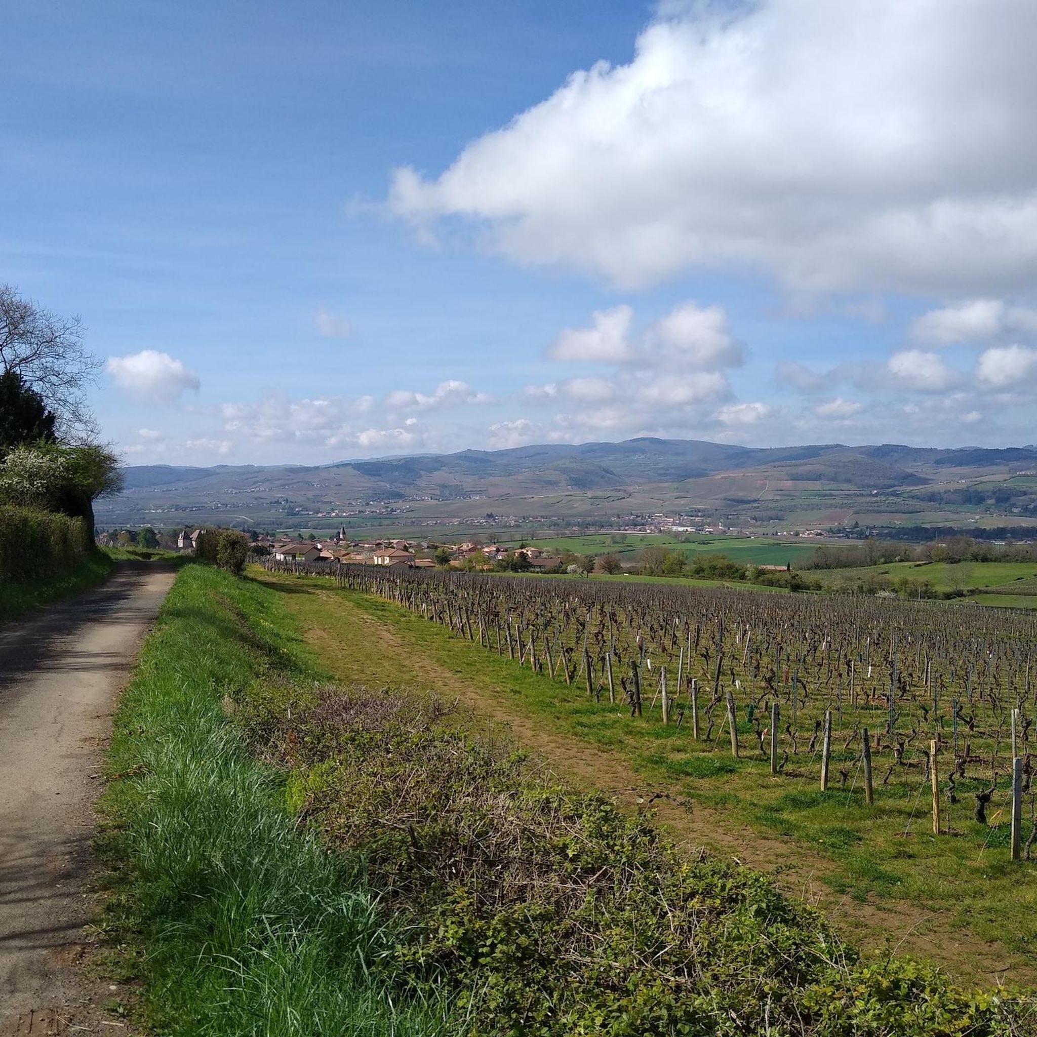
From up here, there is a sweeping panoramic view over the wide Saône valley and the typical, gently rising vineyards of the Mâconnais. The area is a popular destination for hikers and mountain bikers who enjoy the view along the winding paths through the vineyards.
1
0
The circular route is about 10.8 kilometers, with an average walking time of around 3 to 3.5 hours. There are approx. 267 meters of elevation gain to overcome. The route leads through quiet, dense coniferous forest sections (as seen in the photo) as well as typical Burgundian bocage landscapes and offers beautiful views.
0
0
The picture shows the Mâcon-Ville train station (Gare de Mâcon-Ville) in the city center of Mâcon. The original historic 19th-century station building was destroyed in World War II. Today's building, with its distinctive, wave-like curved roof structure, was rebuilt in the 1950s as a combined train and bus station. The station has been extensively modernized. A new barrier-free pedestrian bridge with elevators ensures modern, accessible access to the platforms.
1
0
Frequently Asked Questions
How many mountain bike trails are available in Prairies Inondables Du Val De Saône?
There are over 300 mountain bike routes recorded in Prairies Inondables Du Val De Saône on komoot. These range from easy, flat rides through the meadows to more challenging trails with notable elevation gains.
What kind of terrain can I expect on mountain bike trails in Prairies Inondables Du Val De Saône?
The terrain is diverse, primarily characterized by vast floodable meadows and the slow-flowing Saône River. You'll find routes through alluvial forests, along 'lônes' (oxbow lakes), and even surprising features like acidic peat bogs and sand dunes. While generally flat to gently undulating, some trails incorporate more significant elevation.
What is the best time to visit for mountain biking in Prairies Inondables Du Val De Saône?
The region's floodable meadows mean that conditions can vary. Spring and early autumn generally offer pleasant weather and drier trails. During periods of heavy rain or high river levels, some areas might be inundated, so it's always advisable to check local conditions before heading out. The unique ecosystem thrives on regular inundation, which can impact trail accessibility.
Are there mountain bike trails suitable for families or beginners?
Yes, there are 49 easy mountain bike routes in the region, many of which traverse the flat floodplains and greenways alongside the Saône River. These are ideal for families or those new to mountain biking. An example of an easy route is the Fleurville Castle loop from Marbé, which leads through open meadows.
Are there challenging mountain bike trails for experienced riders in Prairies Inondables Du Val De Saône?
Yes, while much of the region is relatively flat, there are 47 difficult routes available for experienced riders. Some trails are described as 'heavy,' requiring good physical condition and potentially involving sections where you might need to walk your bike. The Forest Path Around Chevagny – Mont Rouge loop from Mâcon-Ville, for instance, features a moderate difficulty with notable elevation gain for the region.
What natural features or points of interest can I see while mountain biking?
The region is a ZNIEFF and Natura 2000 site, rich in biodiversity. You can spot rare plants like Gratiola officinalis and Fritillaria meleagris, and it's a haven for birds such as the Corn Crake and Eurasian Curlew. Keep an eye out for diverse waterways, 'lônes' (oxbow lakes), alluvial forests, and unique geological formations like the acidic peat bog of 'lande tourbeuse des Oignons à Boz' or the sand dunes of 'les dunes de sable des Charmes à Sermoyer'.
Can I bring my dog on the mountain bike trails?
While many natural areas in France are dog-friendly, it's always best to check specific local regulations for the Prairies Inondables Du Val De Saône, especially given its status as a protected ecological zone (ZNIEFF and Natura 2000 site). Some areas may require dogs to be on a leash to protect wildlife, particularly ground-nesting birds and other sensitive species.
Are there circular mountain bike routes available?
Yes, many of the mountain bike trails in Prairies Inondables Du Val De Saône are designed as loops. For example, the Brug Fleurville Pont-de-vaux – Saône Bridge loop from Fleurville - Pont-de-Vaux offers a moderate circular path traversing the flat floodplains. Another option is the Saône Bridge – View of Tournus loop from Fleurville - Pont-de-Vaux.
Where can I park when mountain biking in Prairies Inondables Du Val De Saône?
Parking availability varies depending on the specific starting point of your chosen trail. Many routes begin near villages or towns like Mâcon-Ville or Fleurville - Pont-de-Vaux, where public parking is generally available. It's recommended to check the route details on komoot for specific parking suggestions near the trailhead.
Is it possible to reach the mountain bike trails by public transport?
Access to the Prairies Inondables Du Val De Saône by public transport can be limited, as many trailheads are in rural areas. Larger towns like Mâcon, which serves as a starting point for some routes, are more accessible by train or bus. For specific trail access, it's often more convenient to use a car or cycle to the starting point from a nearby town.
What do other mountain bikers enjoy about the trails in Prairies Inondables Du Val De Saône?
The mountain bike trails in Prairies Inondables Du Val De Saône are highly rated by the komoot community, with an average score of 4.5 stars from over 380 reviews. Riders often praise the unique wetland landscapes, the tranquility of the Saône River, and the diverse mix of flat, scenic paths and more challenging sections through forests and near historical points.
Are there any long-distance mountain bike routes in the region?
Yes, the region offers several longer routes for those seeking extended rides. For instance, the Fleurville Lock – View of Tournus loop from Mâcon-Ville is a substantial 71.6 km (44.5 miles) trail, offering a comprehensive exploration of the area's diverse landscapes.
Most popular routes in Prairies Inondables Du Val De Saône

Get inspired with the komoot mobile app


Explore more
Browse the best MTB trails in other regions.
