The best running trails in Réserve Biologique Dirigée De Longegoutte
4.5
(106)
5,581
runners
303
runs
Jogging in Réserve Biologique Dirigée De Longegoutte offers an exceptional setting within the Vosges massif, situated at an altitude of 800 meters. This protected natural area features diverse and well-preserved ecosystems, including extensive beech-fir forests that provide a serene atmosphere. The terrain is characterized by a varied relief, encompassing a narrow plateau surrounded by gentle slopes, alongside unique high-altitude peat bogs and mountain heathlands. Streams and water features are also present, contributing to the natural landscape.
Best jogging routes in…
Last updated: July 5, 2026
5.0
(1)
6
runners
8.85km
01:08
200m
200m
Moderate run. Good fitness required. Mostly paved surfaces. Suitable for all skill levels.
5
runners
11.6km
01:27
340m
340m
Hard run. Very good fitness required. Mostly paved surfaces. Suitable for all skill levels.

Sign up for free
2
runners
11.6km
01:33
430m
430m
Hard run. Very good fitness required. Mostly paved surfaces. Suitable for all skill levels.
5.0
(2)
41
runners
8.35km
01:00
260m
260m
Moderate run. Good fitness required. Mostly paved surfaces. Suitable for all skill levels.
15
runners
15.1km
02:10
670m
670m
Hard run. Very good fitness required. Sure-footedness, sturdy shoes and alpine experience required.
Get access to more routes and recommendations from other explorers.
Sign up for free
Already have an account?
Our route recommendations are based on thousands of hikes, rides, and runs completed by other people on komoot.
Start today with a free account
Your next adventure awaits.
Login or Signup
Popular around Réserve Biologique Dirigée De Longegoutte

Tips from the Community

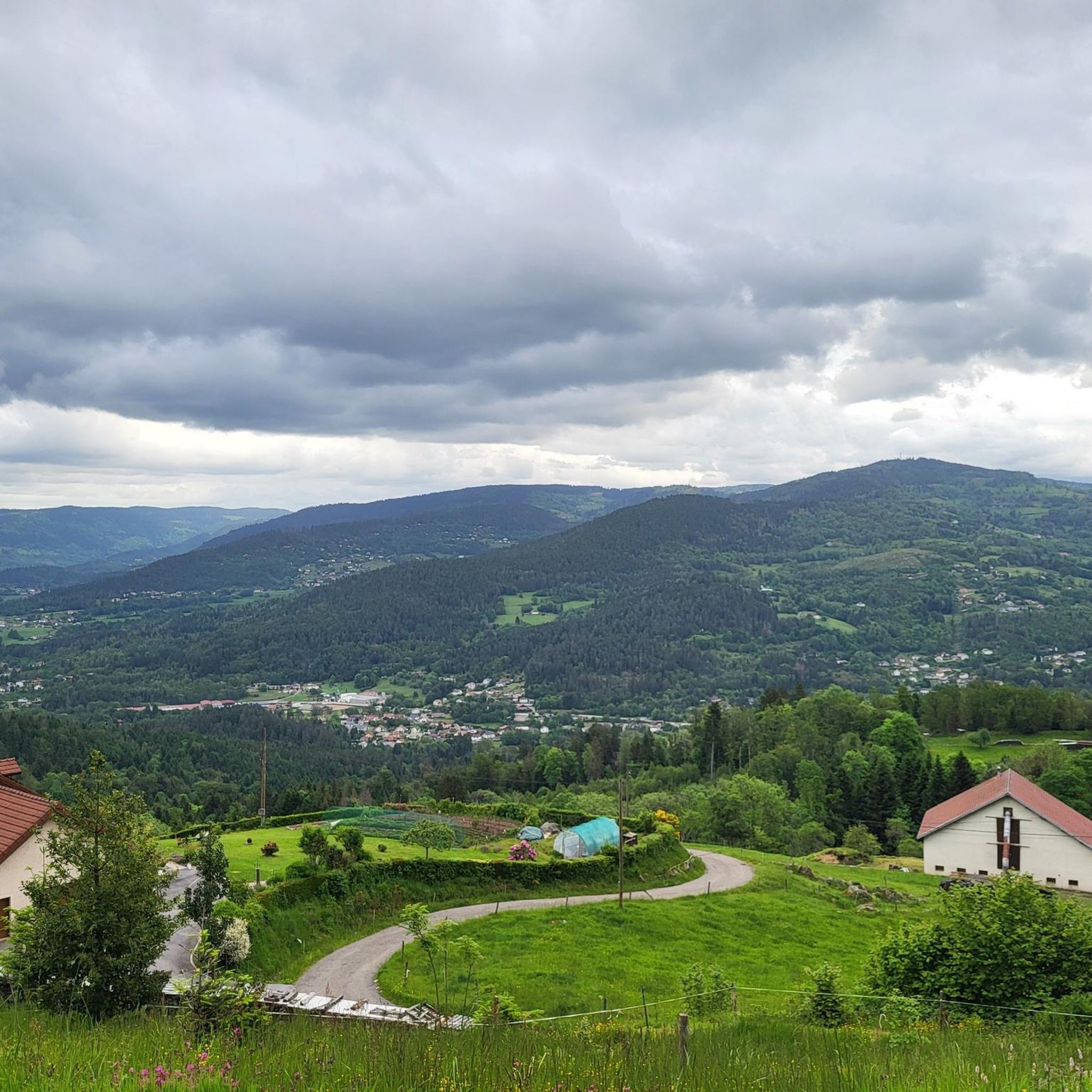
Nice vantage point at the white cross over the surrounding villages and mountains. ⛰️
1
0

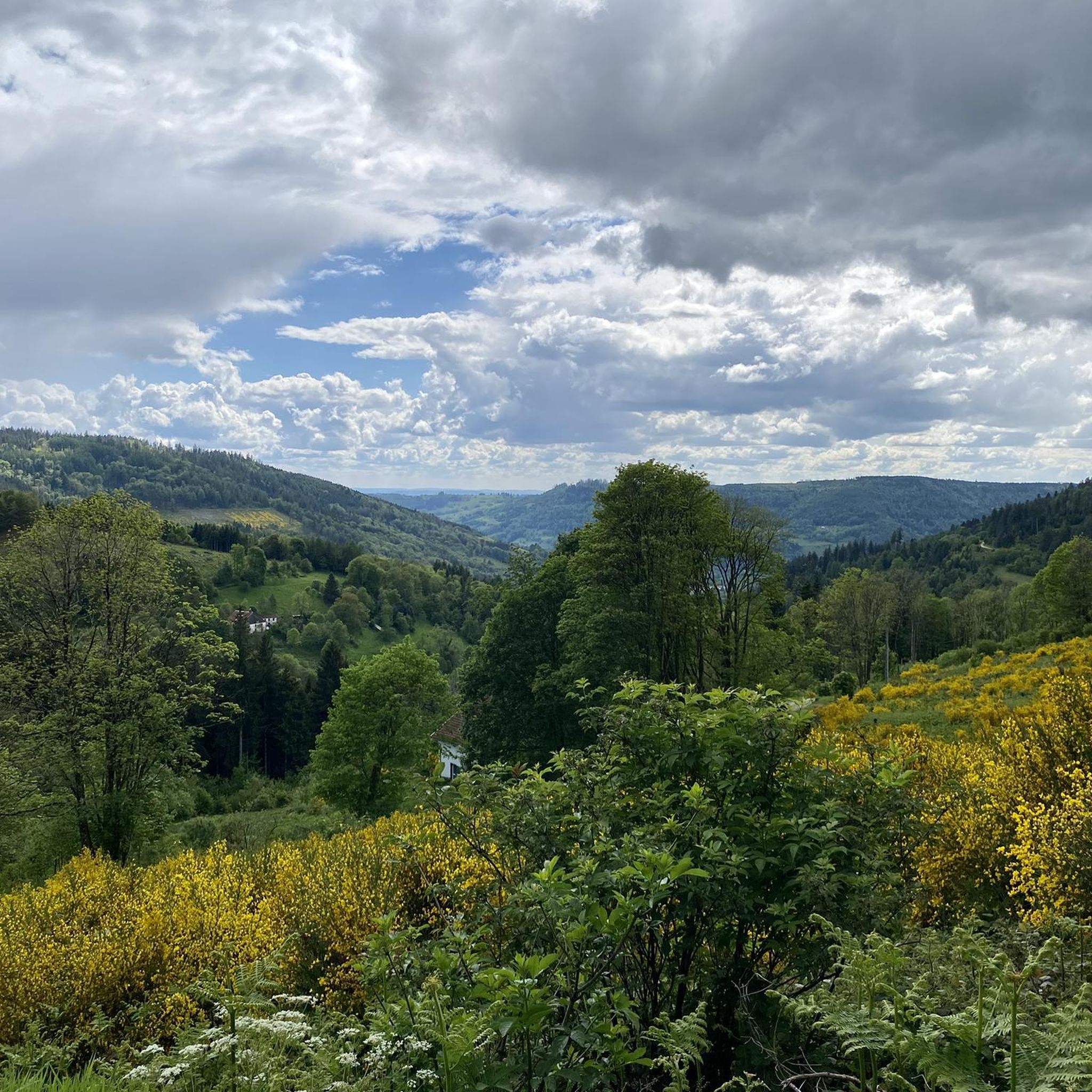
From this bench you have a beautiful view over the Vosges.
4
0
From up here you have a great view over the Vosges. Benches invite you to linger.
6
0

Along with the Planche des Belles Filles, the Haut du Roc is the westernmost summit of the Vosges massif. It is distinguished by its panorama, but also by its characteristic sedimentary rocks and its Calvary erected in 1933.
5
0

“Each of these crosses can tell its own story and what prompted people to erect “their” cross at this point. (...) These wayside crosses were erected as visible signs and attract the attention of many people. The cross is a symbol of life. It stands as a sign of our Christian hope and wants to direct our gaze to Jesus Christ, who has overcome death (...). The cross is part of our life as it was in the life of Jesus. So I wish that many people … visit the crosses, whether as places of stillness and breathing space before God, whether as places for community gatherings, prayer and praise to God.” (Text source: Dean Rainald M. Ollig in: "Crossroads... small sacred monuments as a sign of popular piety")
5
4
Frequently Asked Questions
How many running routes are available in Réserve Biologique Dirigée De Longegoutte?
There are over 275 running routes available in Réserve Biologique Dirigée De Longegoutte, offering a wide variety of options for all skill levels. These include 16 easy, 152 moderate, and 107 difficult trails.
Are there easy running routes suitable for beginners or casual joggers?
Yes, Réserve Biologique Dirigée De Longegoutte offers 16 easy running routes. These paths are generally less strenuous, providing a gentle introduction to jogging in this beautiful natural setting. Many trails are described as 'easy walks', making them perfect for a relaxed run.
What kind of terrain can I expect on the jogging trails in the reserve?
The terrain in Réserve Biologique Dirigée De Longegoutte is quite varied. You'll primarily run through lush beech-fir forests, experience unique high-altitude peat bogs and mountain heathlands, and encounter a mix of flat sections and gentle slopes typical of the Vosges massif. The presence of streams also adds to the natural landscape.
Are there any long-distance running trails for experienced runners?
Absolutely. For experienced runners seeking a challenge, there are 107 difficult routes available. An example is the Running loop from La Croix du Lait, which is 7.2 miles (11.6 km) long and features significant elevation changes and views of the surrounding Vosges massif.
Can I bring my dog on the running trails in Réserve Biologique Dirigée De Longegoutte?
While the reserve is a natural area, specific regulations regarding dogs can vary. It's generally advisable to keep dogs on a leash to protect the diverse wildlife and sensitive ecosystems, especially in protected areas like peat bogs. Always check local signage for any specific restrictions.
Are the running routes suitable for families?
Many of the trails, particularly the 16 easy routes, are suitable for families looking to enjoy a run or walk together. The varied topography with gentle slopes and accessible paths makes it a pleasant environment for all ages to explore the natural beauty of the reserve.
Are there circular running routes available in the reserve?
Yes, many of the running routes in Réserve Biologique Dirigée De Longegoutte are circular, allowing you to start and finish at the same point. For instance, the Col de Xiard loop from Réserve naturelle de la Tourbière des Charmes is a popular 5.5-mile (8.8 km) circular trail offering varied terrain.
What natural features or points of interest can I see while jogging?
While jogging, you'll be immersed in a 'green paradise' of well-preserved ecosystems. Expect to see extensive beech-fir forests, unique high-altitude peat bogs, and mountain heathlands. The sound of streams and diverse insect life, including 15 species of dragonflies, also adds to the sensory experience of the landscape.
Is there parking available near the jogging trailheads?
Information on specific parking areas is not detailed in the guide, but given the popularity of the area for outdoor activities, it is common to find designated parking spots near trailheads or key access points to the reserve. It's recommended to check local maps or visitor information for precise parking locations before your visit.
What is the best time of year to go jogging in Réserve Biologique Dirigée De Longegoutte?
The reserve is beautiful year-round, but spring and autumn offer particularly pleasant conditions for jogging with milder temperatures and stunning natural colors. Summer provides lush green scenery, while winter can offer a unique experience, though conditions may require appropriate gear and caution due to snow or ice.
What do other runners say about the trails in Réserve Biologique Dirigée De Longegoutte?
The running routes in Réserve Biologique Dirigée De Longegoutte are highly rated by the komoot community, with an average score of 4.5 stars from over 80 reviews. Runners often praise the serene atmosphere, the opportunity to 'disconnect from their daily lives', and the diverse natural beauty of the forests and unique wetlands.
Are there any specific routes that offer unique views or experiences?
The Roches Mortevieilles – La Houbette loop from Feme du Reherrey is a notable 7.2-mile (11.6 km) trail that leads through varied forest and open areas, providing a diverse running experience. The reserve's high-altitude peat bogs also offer a unique ecological landscape not commonly found elsewhere.
Most popular routes in Réserve Biologique Dirigée De Longegoutte

Get inspired with the komoot mobile app


Explore more
Browse the best Running Trails & Routes in other regions.
