The best MTB trails in Aérodrome De Lure - Malbouhans
4.5
(241)
1,094
riders
119
rides
Mountain bike trails in Aérodrome De Lure - Malbouhans are set within a region characterized by diverse terrain, including extensive forests, flower-filled valleys, and open plains. The area, part of the broader Haute-Saône department, features a mix of low-altitude hay meadows, siliceous lawns, and river valleys. This landscape provides varied terrain characteristics for mountain biking, from forest tracks to paths around ponds and plateaus.
Best mountain bike trails in Aérodrome De Lure - Malbouhans
- The most popular mountain bike trail…
Last updated: July 5, 2026
4.6
(17)
79
riders
35.4km
02:40
390m
390m
Moderate mountain bike ride. Good fitness required. Advanced riding skills necessary.
4.0
(1)
7
riders
33.0km
02:20
340m
340m
Moderate mountain bike ride. Good fitness required. Suitable for all skill levels.

Sign up for free
5.0
(1)
5
riders
Hard mountain bike ride. Very good fitness required. Advanced riding skills necessary.
5.0
(4)
6
riders
42.4km
03:39
700m
700m
Moderate mountain bike ride. Good fitness required. Suitable for all skill levels.
4.6
(13)
13
riders
32.8km
02:12
140m
140m
Moderate mountain bike ride. Good fitness required. Suitable for all skill levels.
Get access to more routes and recommendations from other explorers.
Sign up for free
Already have an account?
Our route recommendations are based on thousands of hikes, rides, and runs completed by other people on komoot.
Start today with a free account
Your next adventure awaits.
Login or Signup


Tips from the Community

This monument was designed and erected by volunteers from the "Friends of the Mining Museum" association. It was financed by the municipality of Ronchamp and the association, with the support of the municipalities of Champagney and Magny d'Anigon. Located on the so-called "seigneuriale" marker, it depicts a small coal basin with a diameter of 8 meters, similar to those found in the three municipalities. The shafts are represented by small concrete winding towers distributed geographically: the 14 shafts of Champagney to the east, the 10 shafts of Ronchamp to the west, and to the south, the two wells dug on Magny d'Anigon. The three towns are represented by their coats of arms carved from pink Vosges sandstone. The brown concrete logs symbolize the pit timber, which was made of fir. The keyhole shape of this border represents the industrialists and investors who found in coal mining the key to the region's economic development. The inner surface was lined with pieces of coal collected from the various spoil heaps in the basin to clearly demonstrate that coal had been mined there. The outer ring was filled with white limestone rubble to clearly emphasize the contrast between the work during the day and that at the bottom of the mine (day and night, white and black).
0
0

Pilgrimage Chapel of Notre-Dame-du-Haut, 1950 The Chapel of Notre-Dame-du-Haut in Ronchamp is the icon of Christian sacred architecture that revolutionized church building in the 20th century. The chapel is in a dominant position on a hill at the Burgundian Gate near Belfort. Apart from its rather bare summit, this hill is wooded, as are the neighboring hills. Le Corbusier took into account the trees, the views into the distance and the horizon line in his design. The basic features of the design for the chapel were created in just a few days: an asymmetrical building, curved walls, vaulted by a roof whose shape is reminiscent of the shell of a crab. The asymmetry broke with the traditional idea of a cruciform church floor plan. A unified church space was created, without a side or transept, which is nevertheless oriented towards the east.
6
0
Notre-Dame-du-Haut pilgrimage chapel, 1950 The Notre-Dame-du-Haut chapel in Ronchamp is the icon of Christian sacred architecture that revolutionized church building in the 20th century. The chapel is in a dominant position on a hill at the Burgundian Gate near Belfort. Apart from its rather bare summit, this hill is wooded, as are the neighboring hills. Le Corbusier took into account the trees, the views into the distance and the horizon line in his design. The basic features of the design for the chapel were created in just a few days: an asymmetrical building, curved walls, vaulted by a roof whose shape is reminiscent of the shell of a crab. The asymmetry broke with the traditional idea of a cruciform church floor plan. A unified church space was created, without a side or transept, which is nevertheless oriented towards the east.
9
0
In addition to the chapel, Le Corbusier built two smaller buildings, the guard's house and the pilgrim's house, which contains bedrooms and a kitchen. A step pyramid, also built from ruined stones and dedicated to the victims of the fighting in 1944, completes the architectural ensemble.
6
0

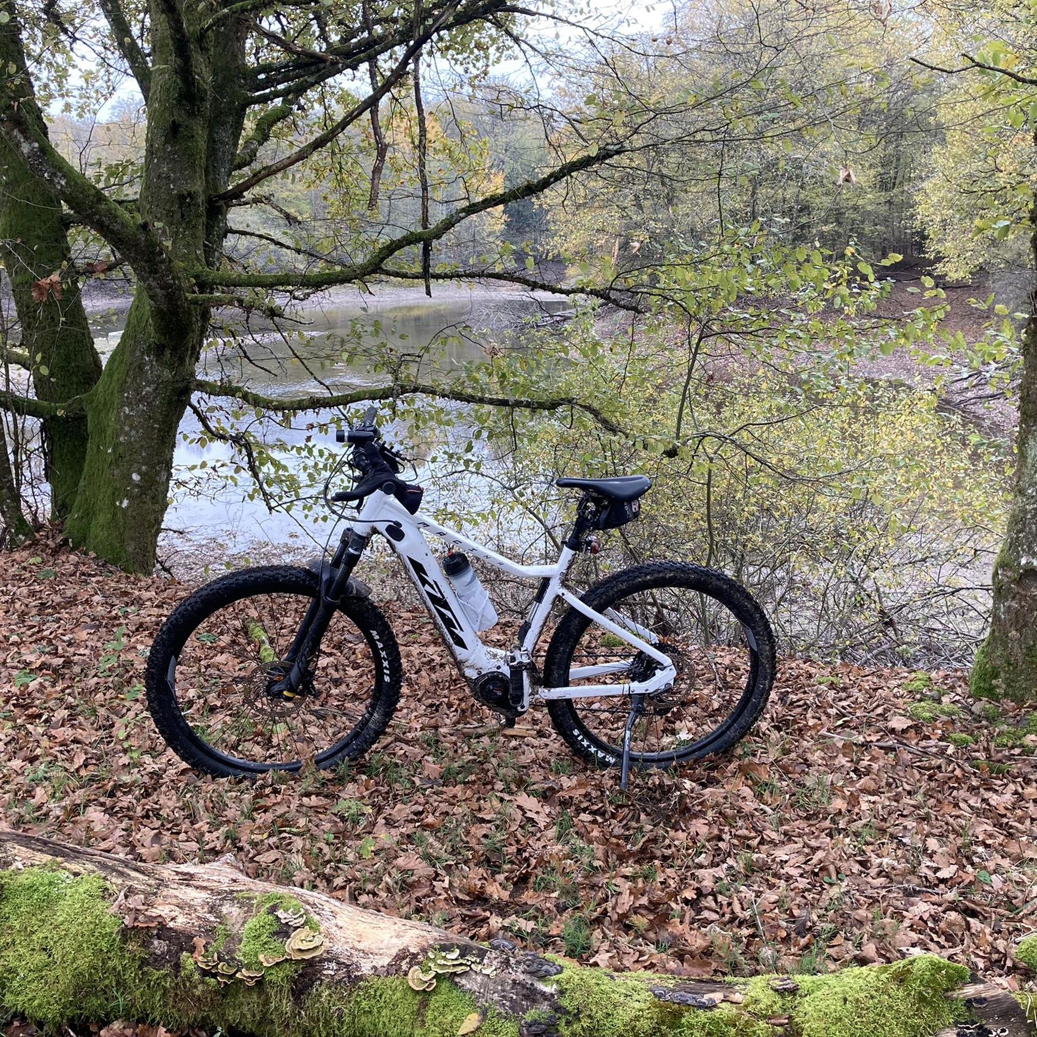
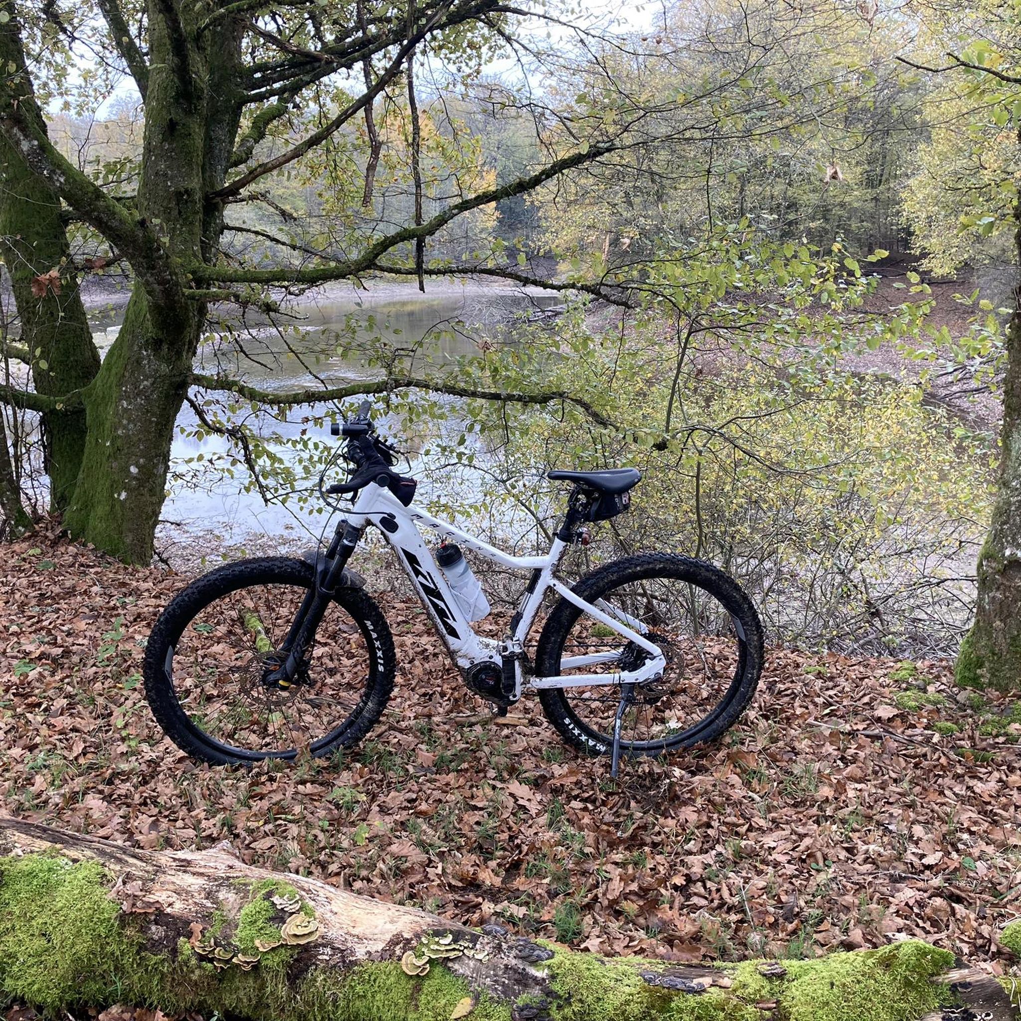
Romantic, quiet lake with a slanting jetty that doesn't look very reassuring.
9
0

This pond is an important habitat for aquatic wildlife and bird species. Ornithology lovers, you will be delighted! Its tranquil surroundings and calm waters also make it an ideal location for peaceful waterside walks.
1
0
From here, you can see the Saint-Hilaire pond in the distance. The body of water blends perfectly with its green setting, creating an ideal setting for hiking.
1
0
The base of the Saline is a perfect leisure area for enjoying outdoor activities such as hiking, running or cycling. There are several picnic spots there. Swimming is prohibited.
2
0
Frequently Asked Questions
How many mountain bike trails are available in the Aérodrome De Lure - Malbouhans area?
There are over 100 mountain bike trails in the Aérodrome De Lure - Malbouhans area. These routes cater to various skill levels, from easy paths to more challenging rides with significant elevation changes.
What kind of terrain can I expect when mountain biking near Aérodrome De Lure - Malbouhans?
The terrain around Aérodrome De Lure - Malbouhans, part of the broader Haute-Saône department, is highly diverse. You'll find extensive forests, flower-filled valleys, open plains, and plateaus. The region is characterized by low-altitude hay meadows, siliceous lawns, and river valleys, offering a mix of forest tracks, singletracks, and paths around ponds.
Are there mountain bike trails suitable for beginners in Aérodrome De Lure - Malbouhans?
Yes, there are plenty of options for beginners. Out of the 118 trails, 41 are rated as easy. An example of an easy route is the Small Pond Shelter – Schwarzangler Pond loop from Malbouhans, which is 16.9 miles (27.2 km) long and leads through pond-dotted landscapes.
What do other mountain bikers say about the trails in this area?
The mountain bike trails in Aérodrome De Lure - Malbouhans are highly rated by the komoot community, with an average score of 4.5 stars from over 200 reviews. More than 1000 mountain bikers have used komoot to explore the varied terrain, often praising the diverse landscapes and well-maintained paths.
Are there any circular mountain bike routes in the Aérodrome De Lure - Malbouhans region?
Yes, many of the mountain bike routes in the area are circular, allowing you to start and finish at the same point. For example, the Small Pond Shelter – Etang de la Dame loop from Malbouhans is a moderate 22.0 miles (35.4 km) circular trail, and the Magnificent views – Roc du Plainet loop from Malbouhans offers a longer, more challenging circular ride.
What natural features or viewpoints can I expect to see on the mountain bike trails?
The region offers stunning natural beauty. You can expect to encounter deep forests, flower-filled valleys, and the unique landscapes of the Plateau des 1000 Étangs, often referred to as "Little Finland," with its numerous ponds and peat bogs. Routes in the Vosges Massif provide panoramic views of the Breuchin Valley and the Vosges mountain range. While there are no specific highlights listed, the natural environment itself is a major attraction.
Is the Aérodrome De Lure - Malbouhans area suitable for family mountain biking?
Yes, the broader Haute-Saône region, which includes the Aérodrome De Lure - Malbouhans area, offers trails suitable for various skill levels, including easier paths that can be enjoyed by families. With 41 easy routes available, you can find options that are less demanding in terms of distance and elevation, allowing for a pleasant family outing.
Are there any challenging mountain bike trails for experienced riders?
Absolutely. For experienced riders seeking a challenge, there are 11 difficult routes in the area. The Vosges Massif and Southern Vosges regions, accessible from Aérodrome De Lure - Malbouhans, provide challenging terrain with significant elevation changes and rewarding panoramic views. Routes like the View of Chérimont – Haut Walk loop from Roye offer substantial climbs and descents.
What is the best time of year to go mountain biking in Aérodrome De Lure - Malbouhans?
The Haute-Saône region generally offers good mountain biking conditions from spring through autumn. Spring brings blooming flowers and lush greenery, while autumn provides vibrant foliage. Summer is also popular, but it's advisable to ride earlier in the day to avoid the midday heat. Winter conditions can vary, with some trails potentially being muddy or covered in snow, especially at higher elevations.
Are there places to eat or stay near the mountain bike trails in Aérodrome De Lure - Malbouhans?
While specific establishments are not listed in the guide data, the Aérodrome De Lure - Malbouhans area is situated within the Haute-Saône department, which is a popular tourist destination. You can find various cafes, pubs, and accommodation options in nearby towns and villages, such as Malbouhans or Lure, to support your mountain biking adventures.
Are dogs allowed on the mountain bike trails in the Aérodrome De Lure - Malbouhans region?
Generally, dogs are welcome on many outdoor trails in the Haute-Saône region, especially on forest tracks and less crowded paths. However, it's always recommended to keep dogs on a leash, especially in areas with wildlife or near agricultural land, and to check local regulations for specific trails or protected natural areas like the ZNIEFF status of the former airfield itself.
How can I access the mountain bike trails, and is parking available?
The mountain bike trails in the Aérodrome De Lure - Malbouhans area are typically accessible from various starting points in surrounding villages like Malbouhans or Roye. Parking is usually available in these towns or at designated trailheads. Public transport options might be limited, so driving to the starting points is often the most convenient way to access the trails.
Most popular routes in Aérodrome De Lure - Malbouhans

Get inspired with the komoot mobile app


Explore more
Browse the best MTB trails in other regions.
