The best MTB trails in Wutachschlucht
4.6
(4881)
17,716
riders
751
rides
Mountain biking in Wutachschlucht offers routes through the scenic Southern Black Forest Nature Park, characterized by deep river valleys and dense forests. While the core Wutach Gorge is primarily for hiking, the surrounding region provides diverse mountain bike trails. The landscape features varied terrain, including forested paths and views of the dramatic geological formations that define the area. This region provides opportunities to explore the natural beauty of the Black Forest on two wheels.
Best mountain bike trails in Wutachschlucht
…Last updated: August 19, 2026
4.4
(5)
17
riders
Easy mountain bike ride. Great for any fitness level. Suitable for all skill levels.
9
riders
Easy mountain bike ride. Great for any fitness level. Suitable for all skill levels.

Sign up for free
5
riders
68.1km
04:40
920m
920m
Hard mountain bike ride. Very good fitness required. Suitable for all skill levels.
6
riders
69.7km
04:34
830m
830m
Moderate mountain bike ride. Good fitness required. Advanced riding skills necessary.
5
riders
17.9km
01:20
310m
300m
Moderate mountain bike ride. Good fitness required. Suitable for all skill levels.
Get access to more routes and recommendations from other explorers.
Sign up for free
Already have an account?
Our route recommendations are based on thousands of hikes, rides, and runs completed by other people on komoot.
Start today with a free account
Your next adventure awaits.
Login or Signup
Popular around Wutachschlucht
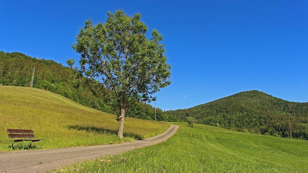
The Freiburg–Lake Constance Black Forest Trail — To the Swabian Sea
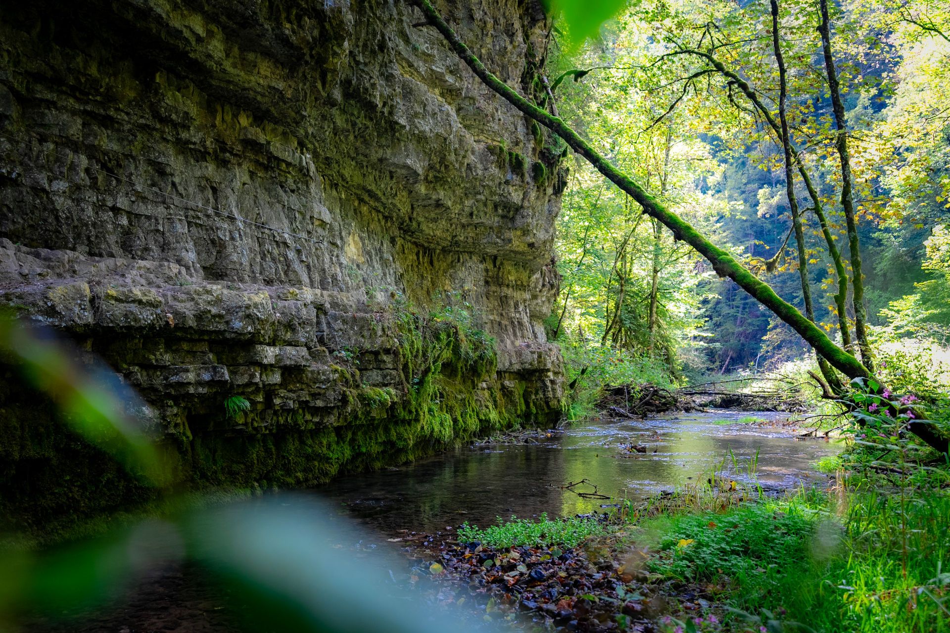
Germany’s largest canyon – hiking in the Wutach Gorge
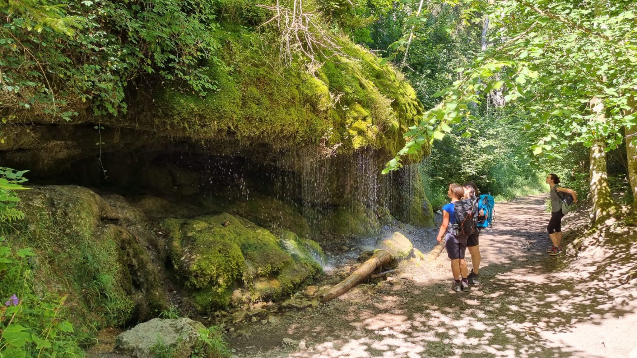
Schluchtensteig-Ost | From Stühlingen to Schluchsee
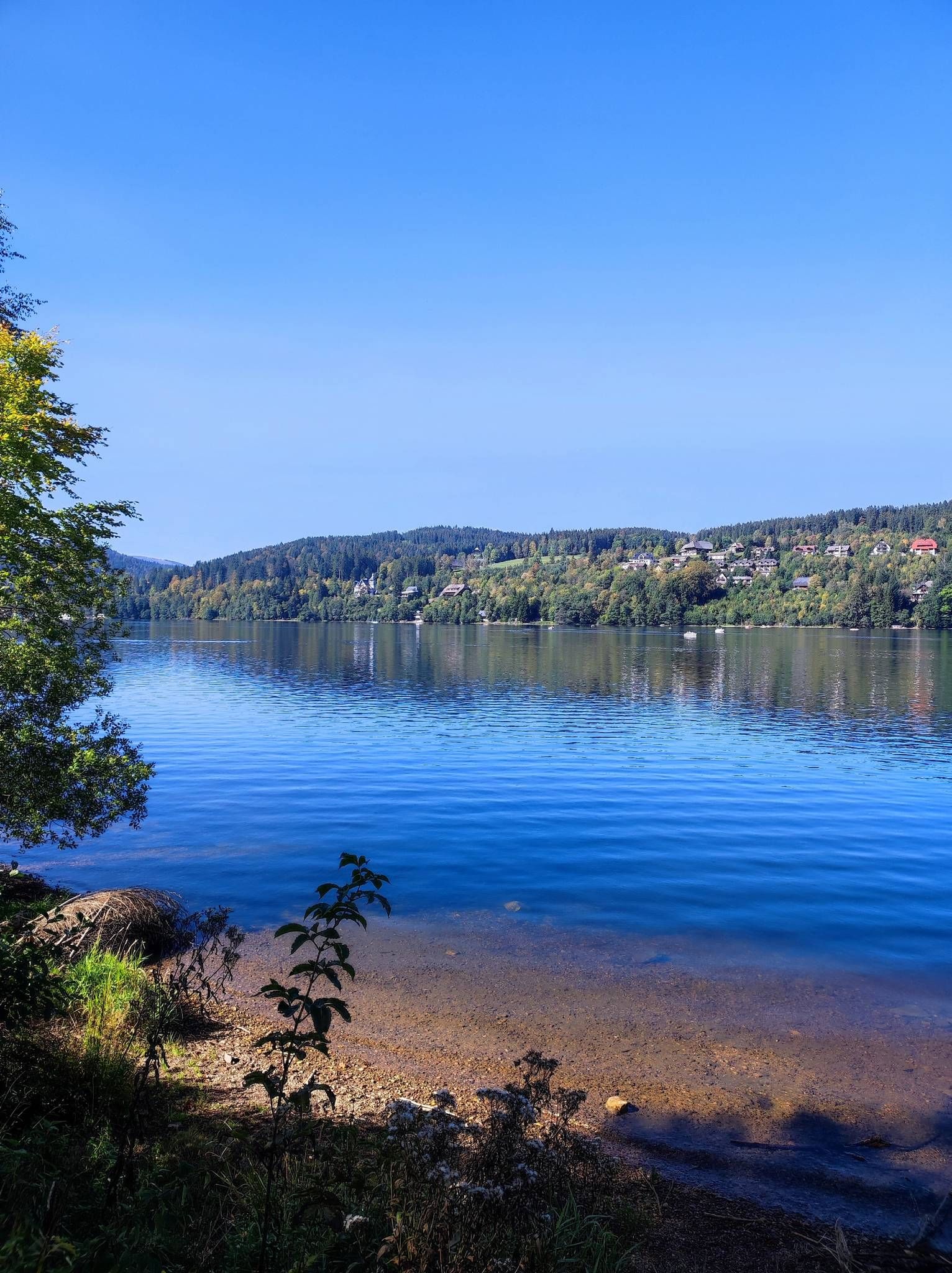
On the Querweg Freiburg-Bodensee
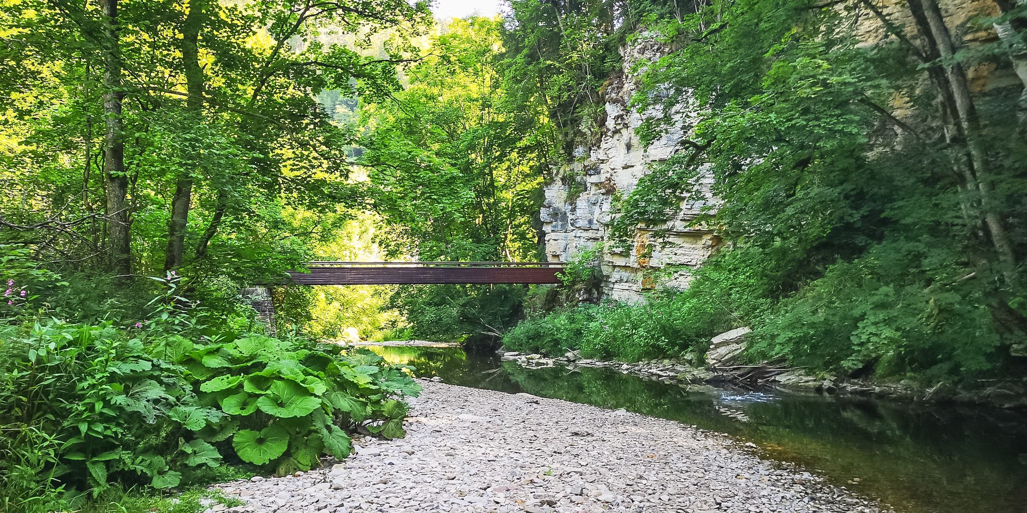
Babbling brooks and impressive canyons – the Gorge Trail
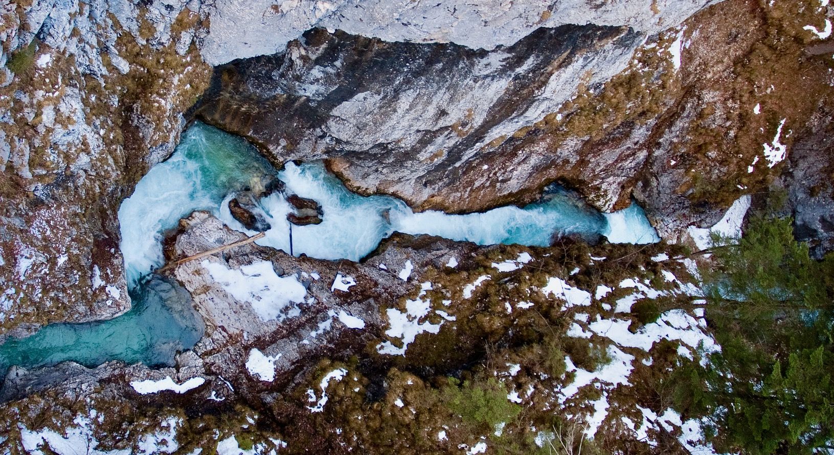
Ravines, gorges and waterfalls for winter
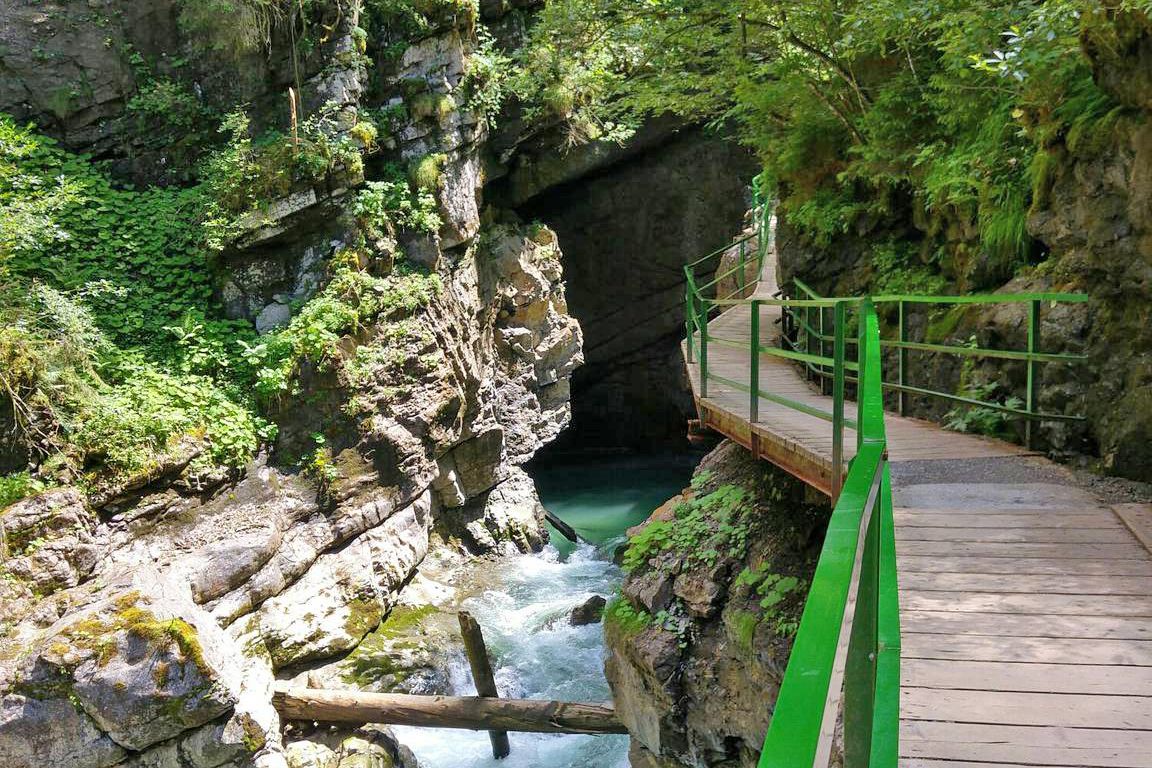
Wild gorges in southern Germany and northern Switzerland
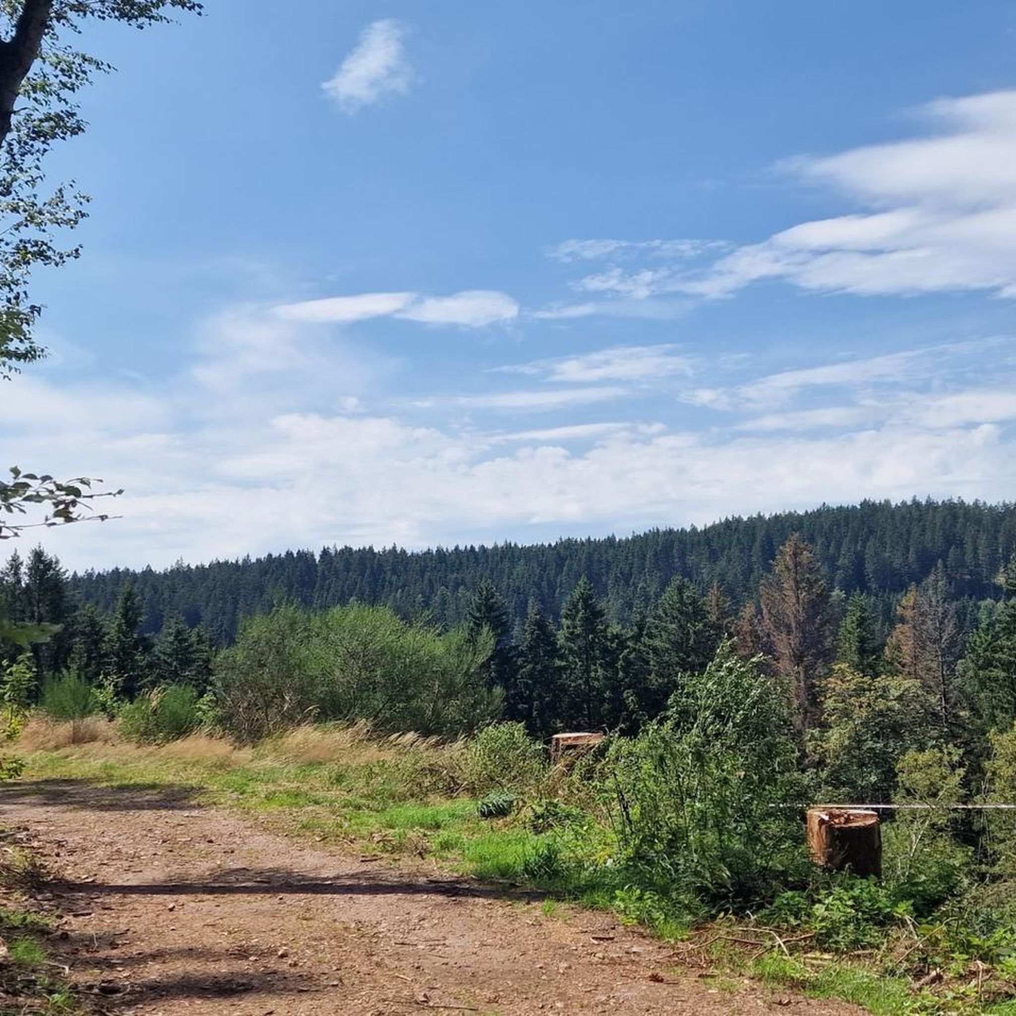
Hiking in Wutachschlucht
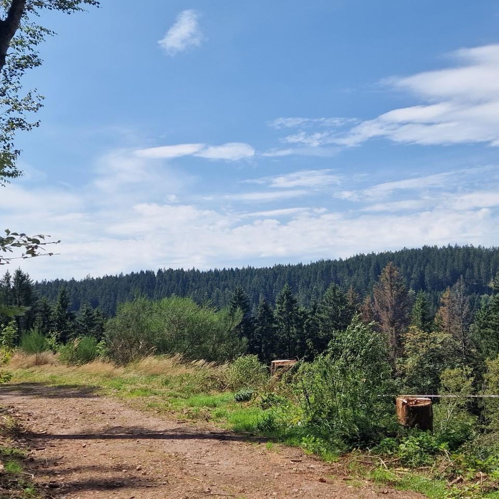
Cycling in Wutachschlucht
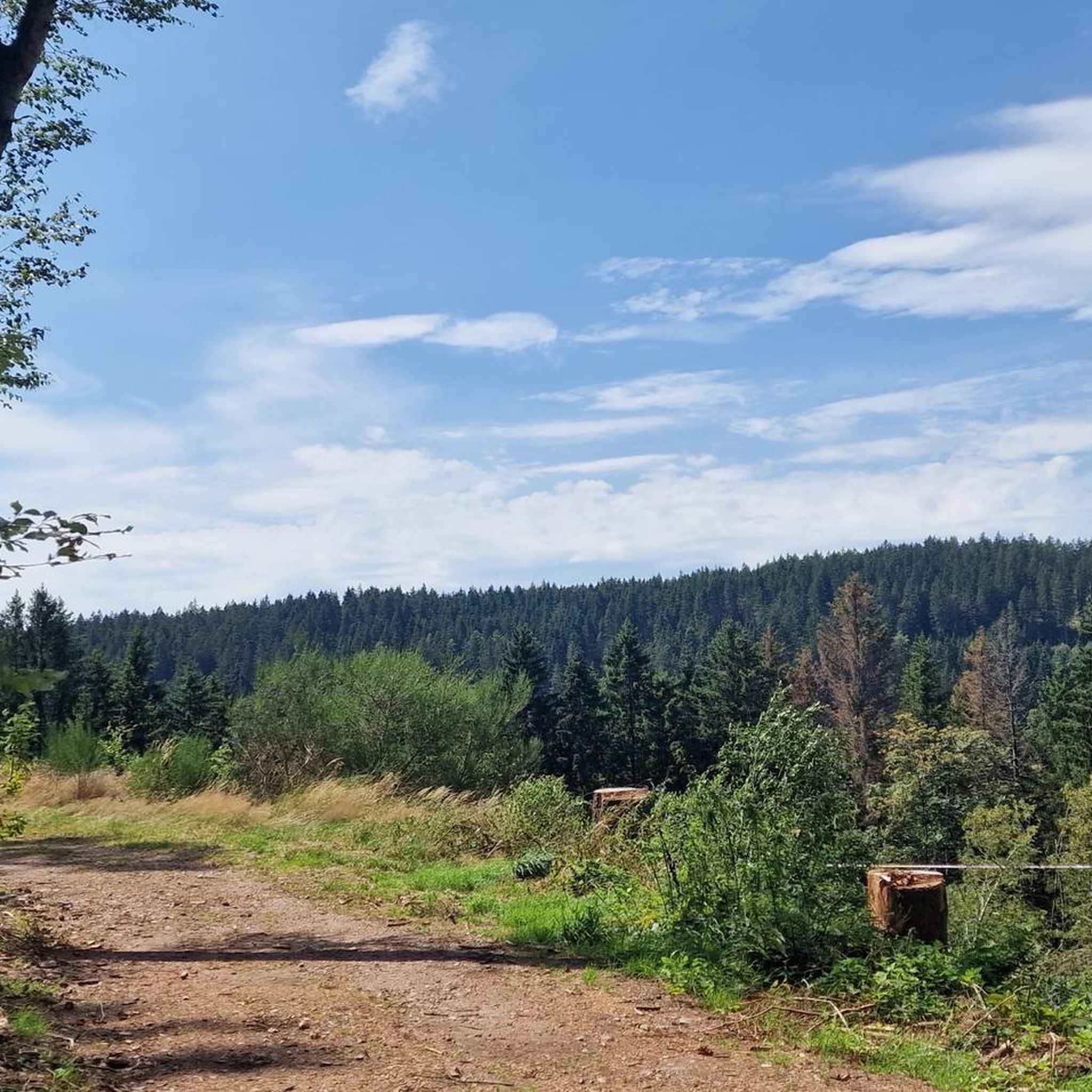
Road Cycling Routes in Wutachschlucht
Other adventures in Wutachschlucht


Tips from the Community

Likeable, wonderfully located inn. You are far away from everything here.
0
0
The climb is really tough, especially above, but the old mill is quite pretty. Take a breather here!
0
0

The gravel surface of the Bähnleradweg, which is mentioned in the first post from 2019, is no longer applicable, it is now asphalted all the way. The Bähnle-Radweg mostly follows the route of the disused Lenzkirch - Bonndorf railway line. As a result, there are only slight inclines along the entire route.
0
0

beautiful cycle path on the disused railway line
0
0

A wonderful route, just run and enjoy.
0
0

The few meters of gravel surface at Holzschlag are easy to ride on a racing bike.
0
0

Beautiful paved path along the Wutach.
0
0

The hiking bus stops right here and the stop still looks pretty new.
0
0
Frequently Asked Questions
How many mountain bike trails are available in Wutachschlucht?
There are over 740 mountain bike trails in the Wutachschlucht region, catering to various skill levels. This includes 139 easy routes, 470 moderate routes, and 135 difficult routes.
What kind of terrain can I expect on mountain bike trails in Wutachschlucht?
The mountain bike trails in Wutachschlucht navigate through the scenic Southern Black Forest Nature Park. You can expect varied terrain, including deep river valleys, dense forests, and paths that offer views of the dramatic geological formations characteristic of the area. While the core Wutach Gorge is primarily for hiking, the surrounding region provides diverse mountain biking opportunities through forested paths.
Are there any family-friendly mountain bike trails in Wutachschlucht?
Yes, there are several family-friendly options. For an easier ride, consider the Start of FlowTrail Wutach – Flowtrail Wutach Start Point loop from Ewattingen, which is an easy 5.1-mile (8.1 km) path providing a flowing experience through local woodlands.
Can I bring my dog on mountain bike trails in Wutachschlucht?
While the Wutachschlucht region is generally dog-friendly for outdoor activities, specific regulations may apply to certain trails or protected areas. It's always recommended to keep dogs on a leash, especially in nature preservation areas, and to check local signage for any restrictions on individual routes.
Are there any waterfalls or natural monuments to see along the mountain bike routes?
While the innermost parts of the Wutach Gorge are primarily for hikers, the broader region offers access to stunning natural features. You might encounter side gorges and waterfalls, such as the Gauchach Waterfall, or explore the dramatic Gauchach Gorge. The region is known for its unique geological formations and rich biodiversity.
What is the best time of year for mountain biking in Wutachschlucht?
The best time for mountain biking in Wutachschlucht is typically from spring through autumn. During these seasons, the weather is generally mild, and the trails are most accessible. Spring brings lush greenery, while autumn offers vibrant foliage. It's advisable to check local weather conditions before heading out, as some trails can become wet and slippery after rain.
Where can I park my car when mountain biking in Wutachschlucht?
Parking is available at various trailheads and villages surrounding the Wutachschlucht. Specific parking information is usually detailed on individual route pages on komoot. For example, routes often start from accessible points like Wutachschlucht itself or nearby towns such as Ewattingen.
Are there any circular mountain bike routes in the Wutachschlucht area?
Yes, many of the mountain bike routes in Wutachschlucht are designed as circular loops. An example is the Klausenbach Viaduct – Lenzkirch Town Hall Square loop from Wutachschlucht, a moderate 24.7-mile (39.7 km) trail that navigates through varied forest terrain.
What do other mountain bikers enjoy most about mountain biking in Wutachschlucht?
The Wutachschlucht region is highly rated by the komoot community, with an average score of 4.6 stars from over 4000 reviews. Mountain bikers often praise the diverse terrain, the scenic beauty of the deep river valleys and dense forests, and the variety of routes available for different skill levels.
Are there places to eat or stay near the mountain bike trails?
Yes, the region offers options for refreshments and accommodation. You can find places like the Schattenmühle Country Inn, which serves as a restaurant, or various huts and shelters such as the Löffingen Castle Mill. These can be found in villages and along some routes, providing opportunities for a break or an overnight stay.
Are there any challenging mountain bike trails for experienced riders?
Absolutely. For experienced riders seeking a challenge, the Wutachschlucht region offers difficult routes with significant elevation changes. An example is the View of Feldberg – View of Menzenschwand loop from Wutachschlucht, a 38.9-mile (62.6 km) trail with over 1280 meters of elevation gain, leading through higher elevations of the Black Forest.
Can I reach the mountain bike trails using public transport?
Public transport options are available in the broader Southern Black Forest region. While direct access to every trailhead might vary, many towns and villages in the vicinity are served by buses or trains. It's advisable to check local public transport schedules and policies regarding bike carriage for specific routes you plan to ride.
Most popular routes in Wutachschlucht
Most popular attractions in Wutachschlucht

Get inspired with the komoot mobile app


Explore more
Browse the best MTB trails in other regions.
