The best mountain hikes in Feldberg-Schluchsee
4.7
(29)
176
hikers
33
hikes
Mountaineering routes in Feldberg-Schluchsee traverse a landscape characterized by the highest peaks of the Black Forest, including Feldberg, alongside the expansive waters of Lake Schluchsee and the smaller Feldsee. The region features a mix of dense forests, open mountain slopes, and glacial cirques. Elevation changes are common, offering varied terrain for mountaineers.
Best mountaineering routes in Feldberg-Schluchsee
- The most popular mountaineering route is Kaiser Bay on Lake Schluchsee – Schluchsee Dam loop from Blasiwald, a 4.4 miles (7.1 km)…
Last updated: October 5, 2026
3.0
(1)
2
hikers
7.19km
02:05
190m
190m
Moderate mountaineering route. Good fitness required. Easily-accessible paths. Suitable for all skill levels.
7
hikers
8.15km
02:58
360m
360m
Moderate mountaineering route. Good fitness required. Mostly accessible paths. Sure-footedness required.

5.0
(2)
3
hikers
7.21km
02:13
220m
220m
Moderate mountaineering route. Good fitness required. Mostly accessible paths. Sure-footedness required.
5.0
(3)
29
hikers
10.5km
03:05
300m
300m
Moderate mountaineering route. Good fitness required. Easily-accessible paths. Suitable for all skill levels.
5.0
(2)
11
hikers
8.88km
03:00
340m
340m
Moderate mountaineering route. Good fitness required. Mostly accessible paths. Sure-footedness required.
Get access to more routes and recommendations from other explorers.
Already have an account?
Our route recommendations are based on thousands of hikes, rides, and runs completed by other people on komoot.
Start today with a free account
Your next adventure awaits.
Popular around Feldberg-Schluchsee
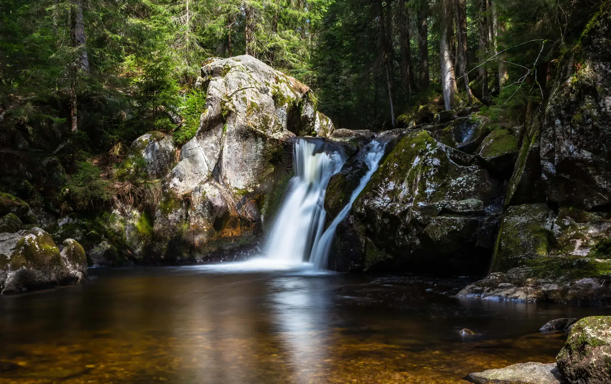
Hiking, ponds & waterfalls – superb Black Forest swimming spots
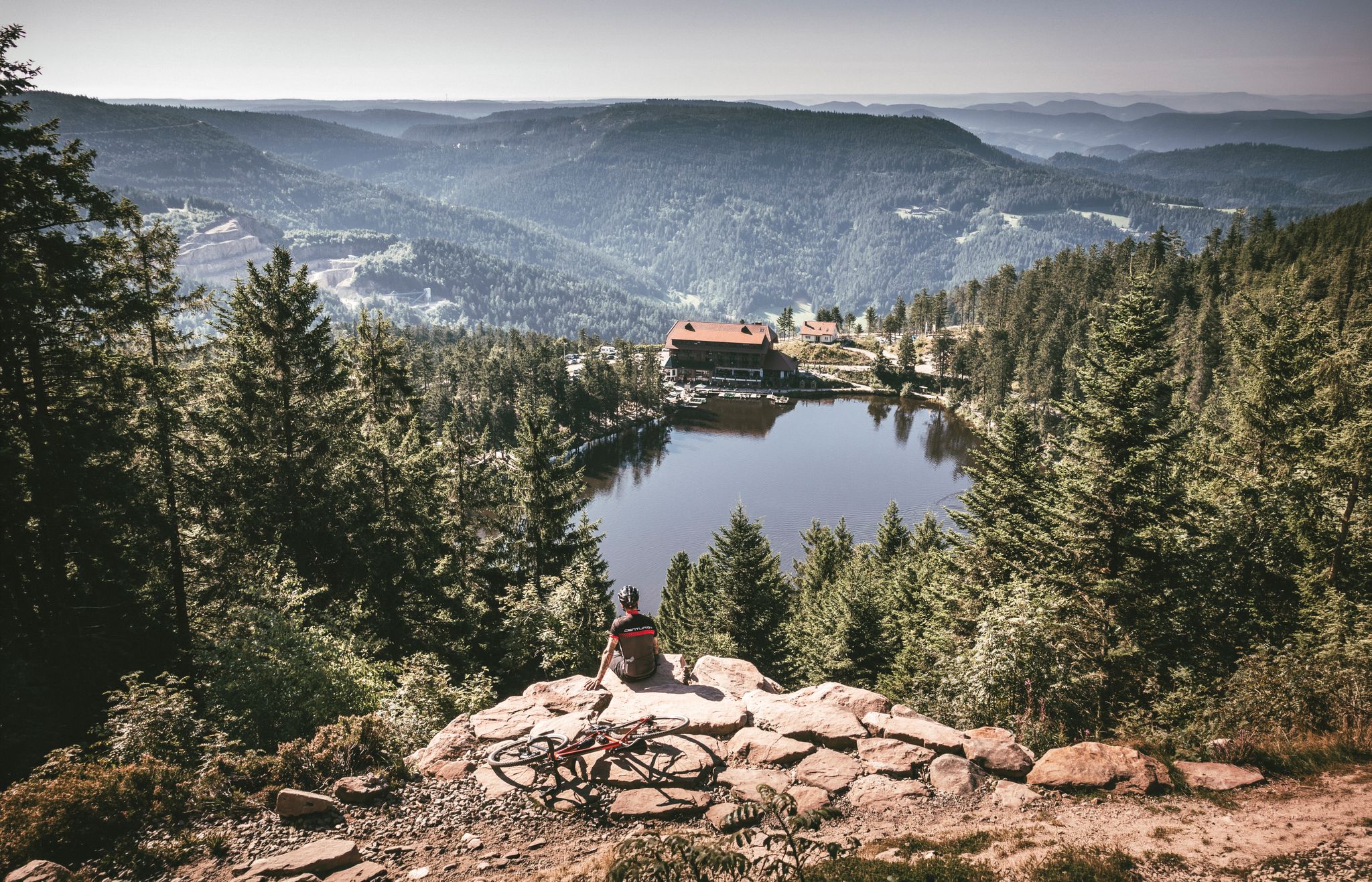
Your Gravel Summer – refreshing rides in the Black Forest
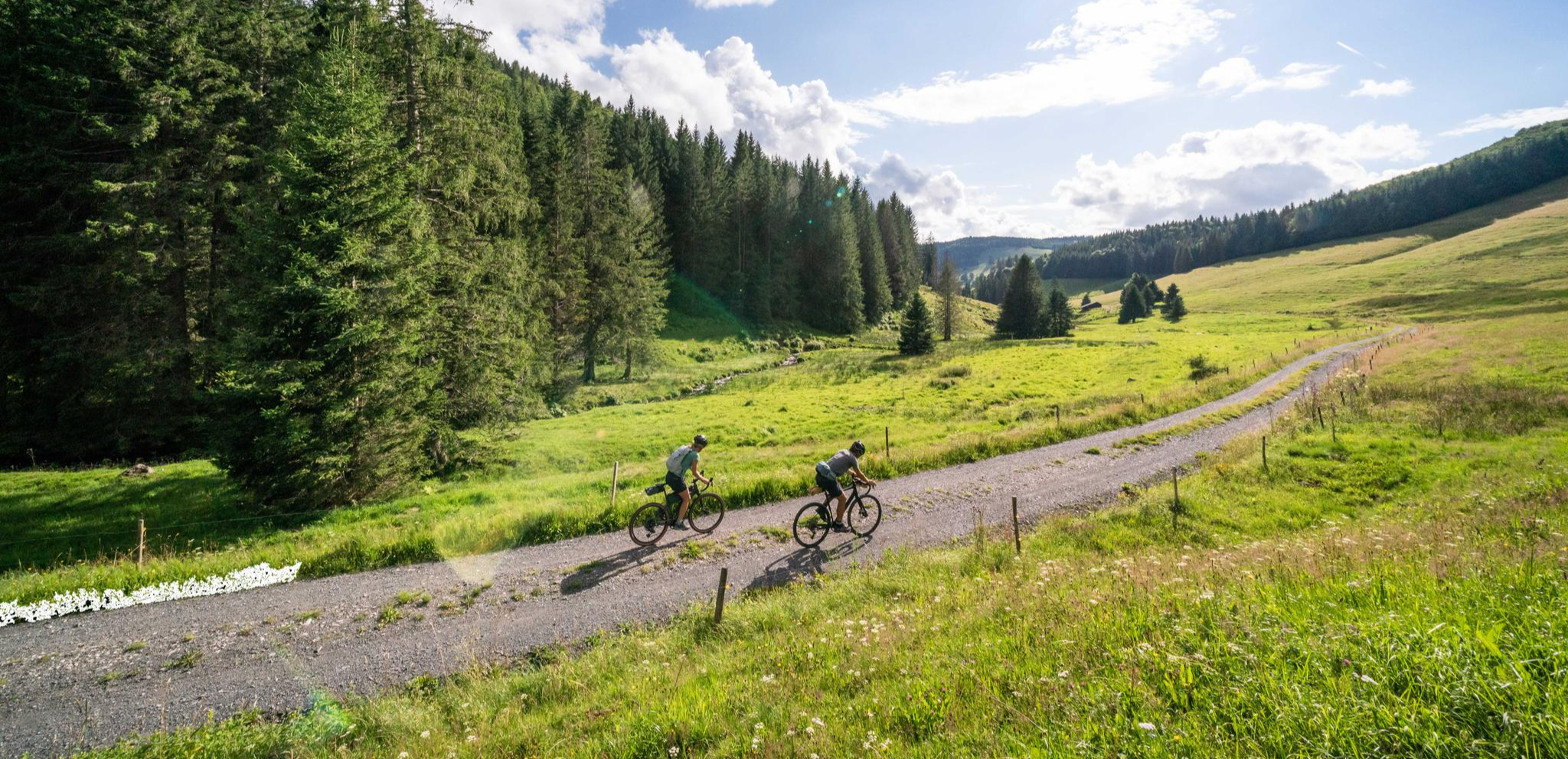
Your slice of gravel happiness – gravel in the Black Forest
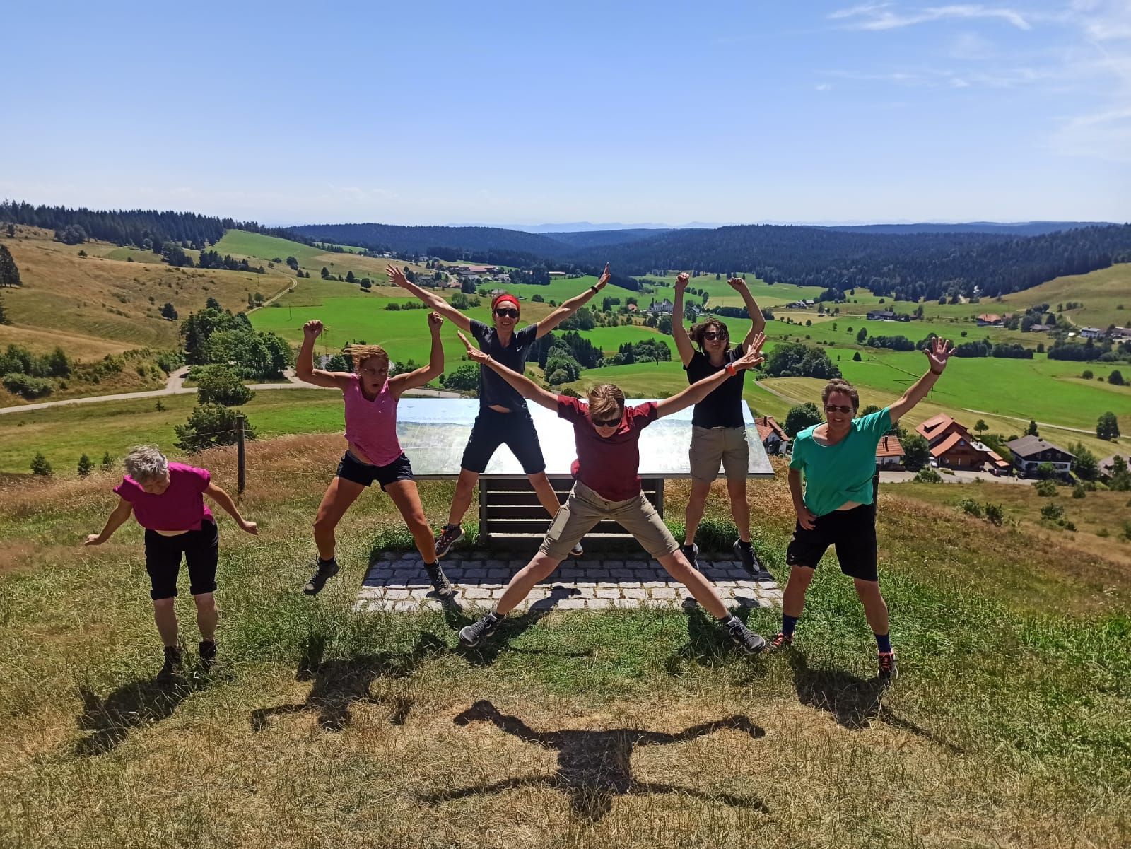
Schluchtensteig-West | From Schluchsee to Wehr
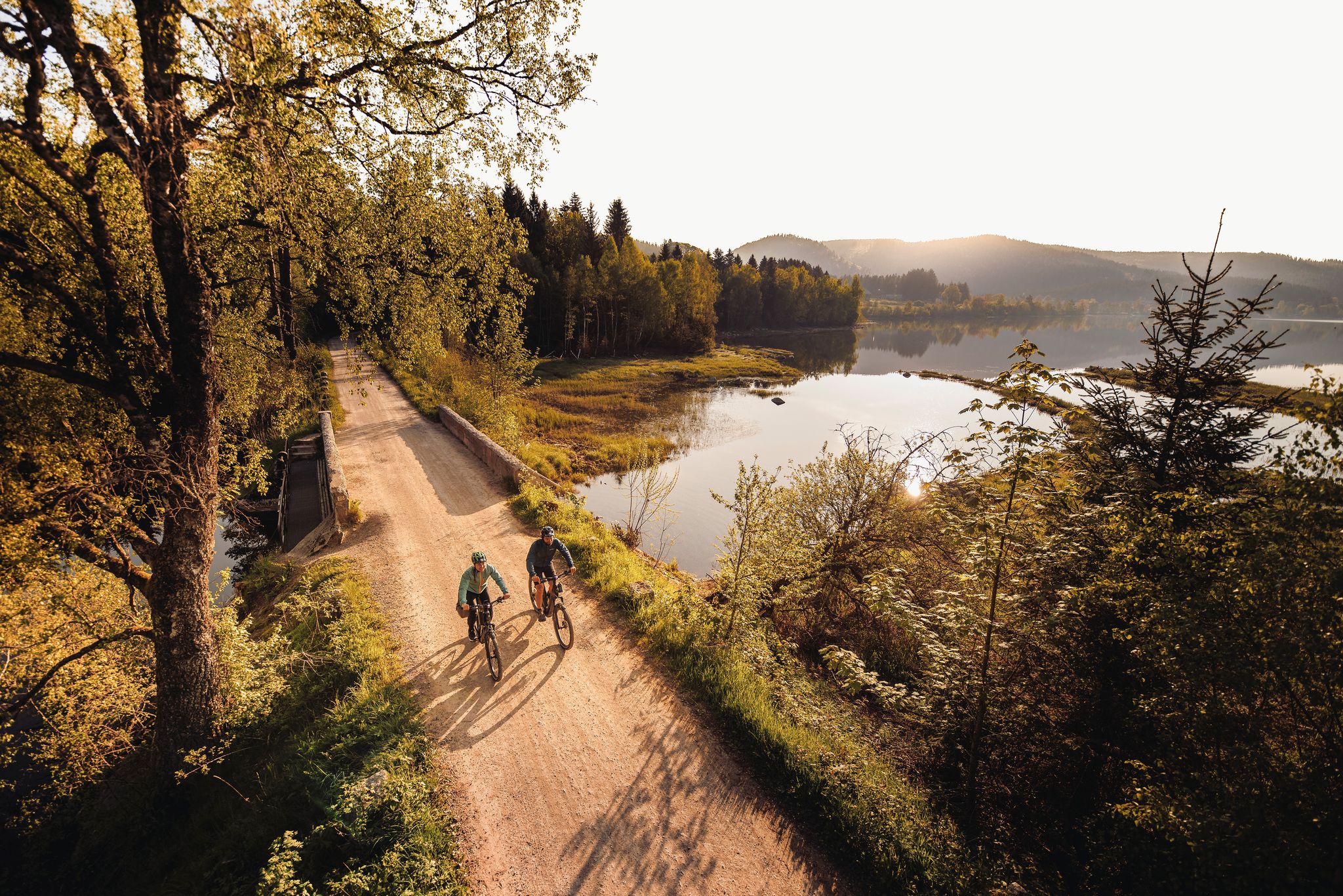
By the water – along the rivers and lakes of the Black Forest
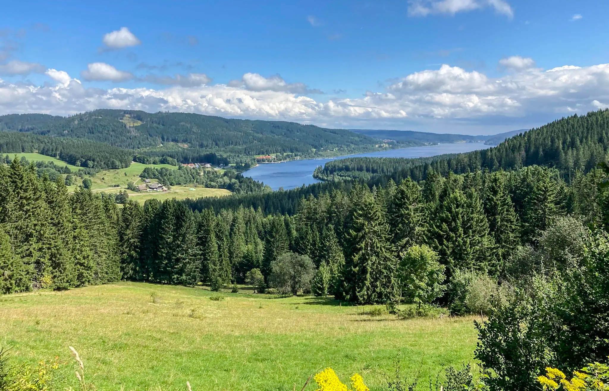
Experience Germany's Black Forest glass blowing history up close
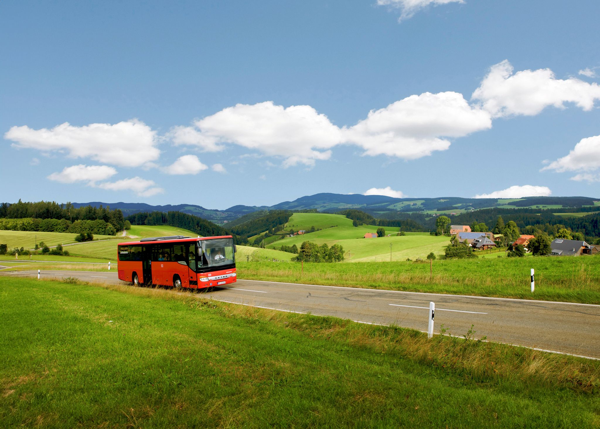
Car-free hiking adventures – the Black Forest without a car
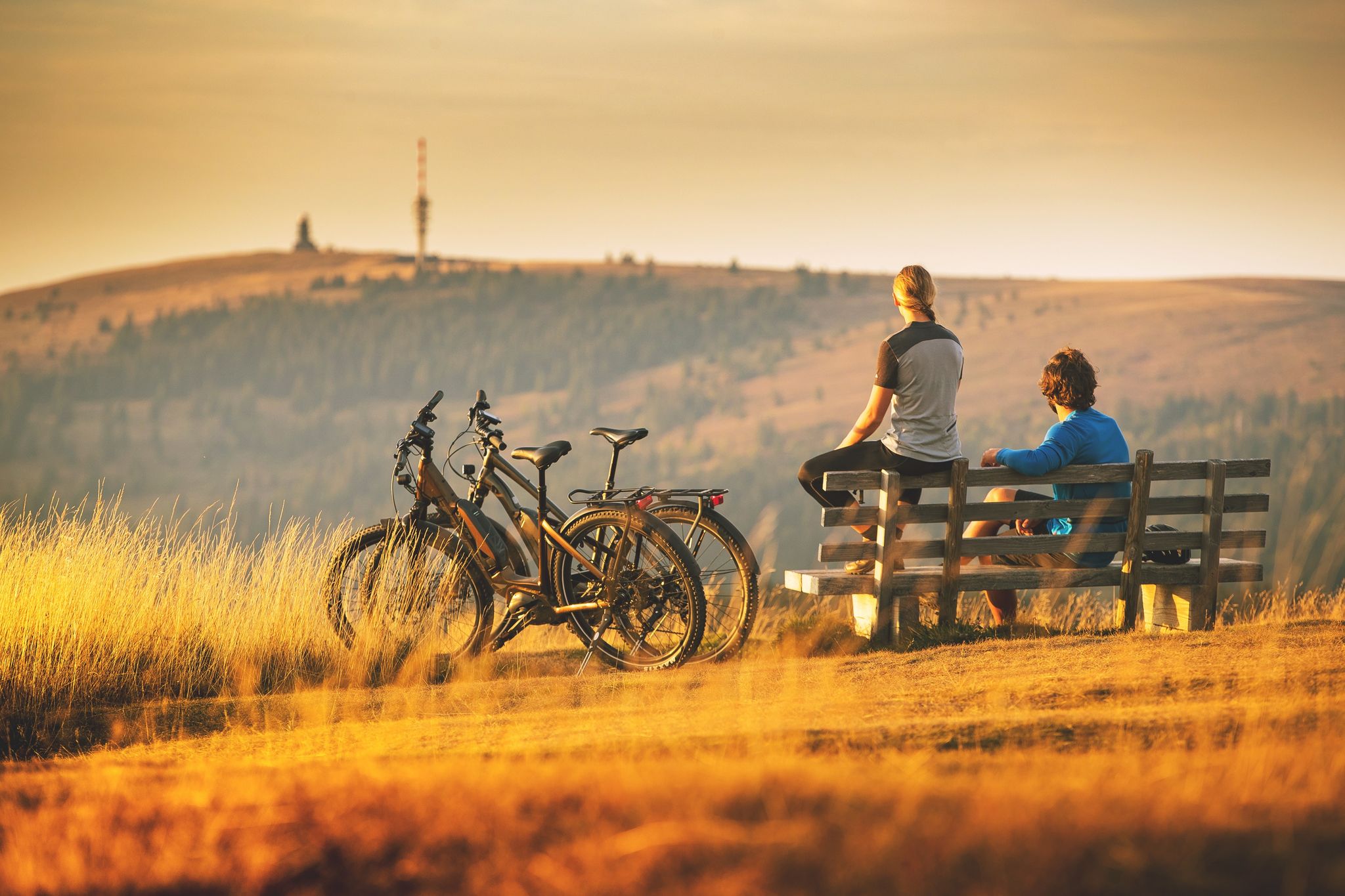
Sunny rides up to heights in the Black Forest
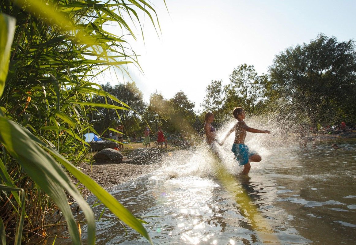
Refreshing summer hikes in Baden Wuerttemberg – bathing fun for the whole family
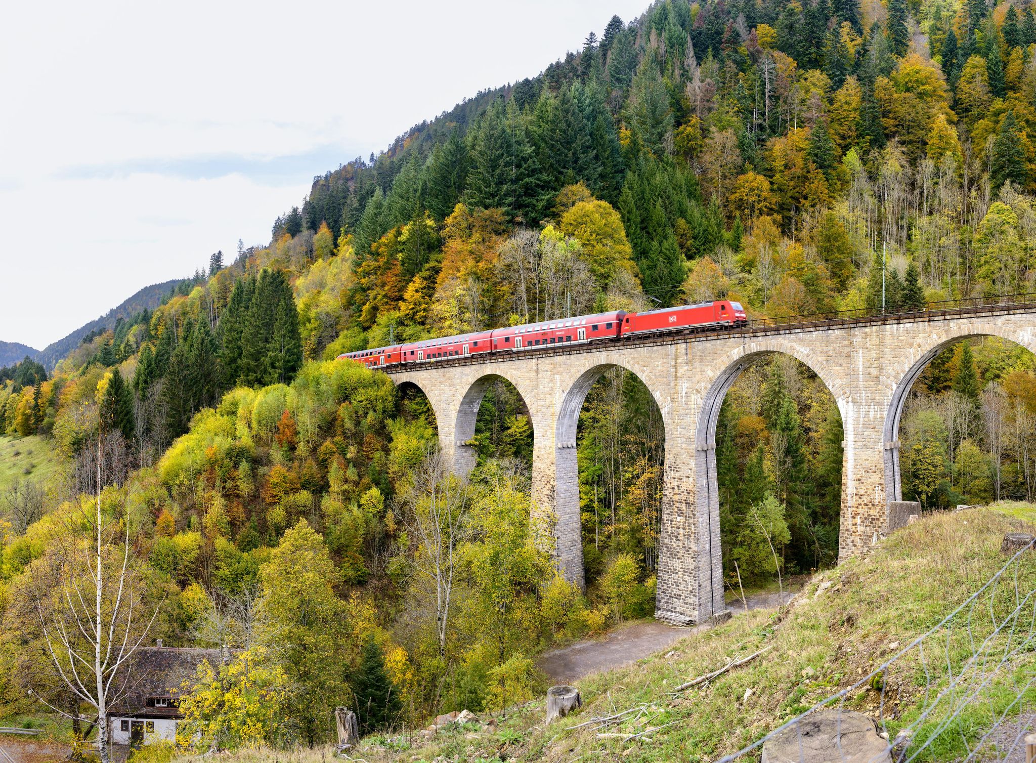
Into the countryside by bus and train – hiking in Germany’s large protected areas
Other adventures in Feldberg-Schluchsee


Tips from the Community

In the magical region of the Teinachtal around Zavelstein, nestled in the gentle hills of the Black Forest,
3
0
Nature park moments mark a viewpoint with a beautiful panorama
3
0
Directly on the summit of Feldberg in the Black Forest, not far from the older transmission tower on the Seebuck.
3
0
Commissioned in the summer of 2003 by the SWR.
3
0
which was put into operation in the summer of 2003
3
0
The Sender Feldberg is an 82-meter-high reinforced concrete transmission tower on the Feldberg in the Black Forest.
3
0
The Feldberg transmitter consists of two transmission masts
3
0
Frequently Asked Questions
How many mountaineering routes are available in Feldberg-Schluchsee, and what are their difficulty levels?
The Feldberg-Schluchsee region offers over 40 mountaineering routes. Most of these, around 30, are rated as moderate, providing a good balance of challenge and accessibility. There are also 9 more difficult routes for experienced mountaineers and at least 1 easier option.
Are there any easy mountaineering routes suitable for beginners in Feldberg-Schluchsee?
While most routes are moderate, there is at least one easy mountaineering route available. For beginners, routes like the Feldsee – Feldsee loop from Feldberg Caritas-Haus, which is a moderate 4.6 miles (7.4 km) with manageable elevation, can be a good starting point to experience the region's beauty without extreme demands.
What is the typical length and duration of mountaineering routes in Feldberg-Schluchsee?
Mountaineering routes in Feldberg-Schluchsee vary, but many popular options range from 4 to 6.5 miles (7 to 10.5 km) in length. These typically take between 2 to 4 hours to complete, depending on your pace and the specific route's elevation changes.
Is parking available near the mountaineering trails in Feldberg-Schluchsee?
Yes, parking is generally available at key trailheads, especially around popular starting points like Feldbergturm or near Lake Schluchsee. It's advisable to check specific route descriptions for detailed parking information, as some areas may have paid parking or limited spaces during peak season.
Can I access mountaineering routes in Feldberg-Schluchsee using public transport?
The Feldberg-Schluchsee region is well-connected by public transport, particularly buses, which can take you to many trailheads. The 'Konus Card' often provided with accommodation in the Black Forest allows free use of local buses and trains, making public transport a convenient option for accessing routes and avoiding parking hassles.
Are there family-friendly mountaineering options in Feldberg-Schluchsee?
Yes, several routes are suitable for families, especially those with older children. Look for moderate routes with less extreme elevation changes and clear paths. The Kaiser Bay on Lake Schluchsee – Schluchsee Dam loop from Blasiwald, for example, is a moderate 4.4 miles (7.1 km) route offering beautiful lake views without being overly strenuous.
Are dogs allowed on the mountaineering trails in Feldberg-Schluchsee?
Generally, dogs are welcome on mountaineering trails in Feldberg-Schluchsee. However, it is essential to keep them on a leash, especially in nature reserves, near livestock, or in areas with wildlife. Always carry water for your dog and clean up after them.
What is the best season for mountaineering in Feldberg-Schluchsee?
The best season for mountaineering in Feldberg-Schluchsee is typically from late spring (May) through early autumn (October). During these months, the weather is generally mild, trails are clear of snow, and the landscapes are vibrant. Winter mountaineering is possible but requires appropriate gear and experience due to snow and ice.
What scenic viewpoints can I expect on mountaineering routes in Feldberg-Schluchsee?
The region is rich in scenic viewpoints. Many routes offer panoramic vistas of the Black Forest hills, such as the View of the Black Forest Hills – Feldsee loop from Feldbergturm. You can also find stunning views of Lake Schluchsee, like the View of the Schluchsee, and the picturesque glacial Feldsee.
Are there any circular mountaineering routes in Feldberg-Schluchsee?
Yes, many mountaineering routes in Feldberg-Schluchsee are designed as circular loops, allowing you to start and end at the same point. Examples include the Kaiser Bay on Lake Schluchsee – Schluchsee Dam loop from Blasiwald and the Bismarck Monument on the Seebuck – Feldberg Summit loop from Feldbergturm.
What do other mountaineers enjoy the most about mountaineering in Feldberg-Schluchsee?
The area is highly rated by the komoot community, with an average score of 4.7 stars. Reviewers often praise the diverse landscape, which includes high mountain peaks, deep glacial lakes like Feldsee, and extensive forests. The well-maintained trails and the variety of options for different ability levels are also frequently highlighted.
Are there any waterfalls to see along the mountaineering routes in Feldberg-Schluchsee?
Yes, the region features several beautiful waterfalls that can be incorporated into your mountaineering adventures. Notable ones include the Falkau Waterfall, the Blasiwälder Waterfall, and the Haslach Waterfalls, offering refreshing sights along your journey.
Most popular routes in Feldberg-Schluchsee
Most popular attractions in Feldberg-Schluchsee

Get inspired with the komoot mobile app


Explore more
Browse the best Mountain Hikes & Routes in other regions.
