The best mountain hikes in Pflanzenschutzgebiet Nenzinger Himmel
4.8
(235)
1,713
hikers
58
hikes
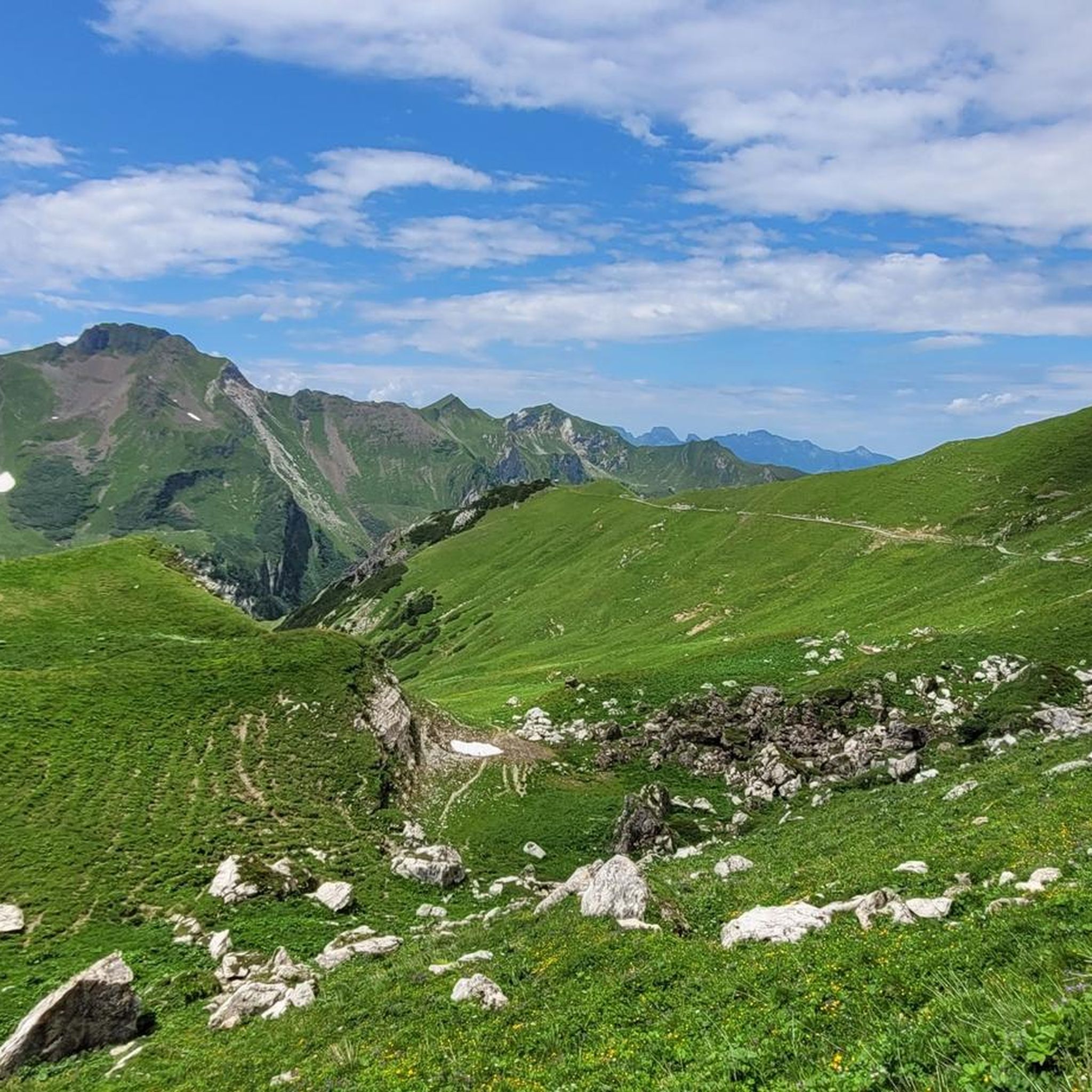
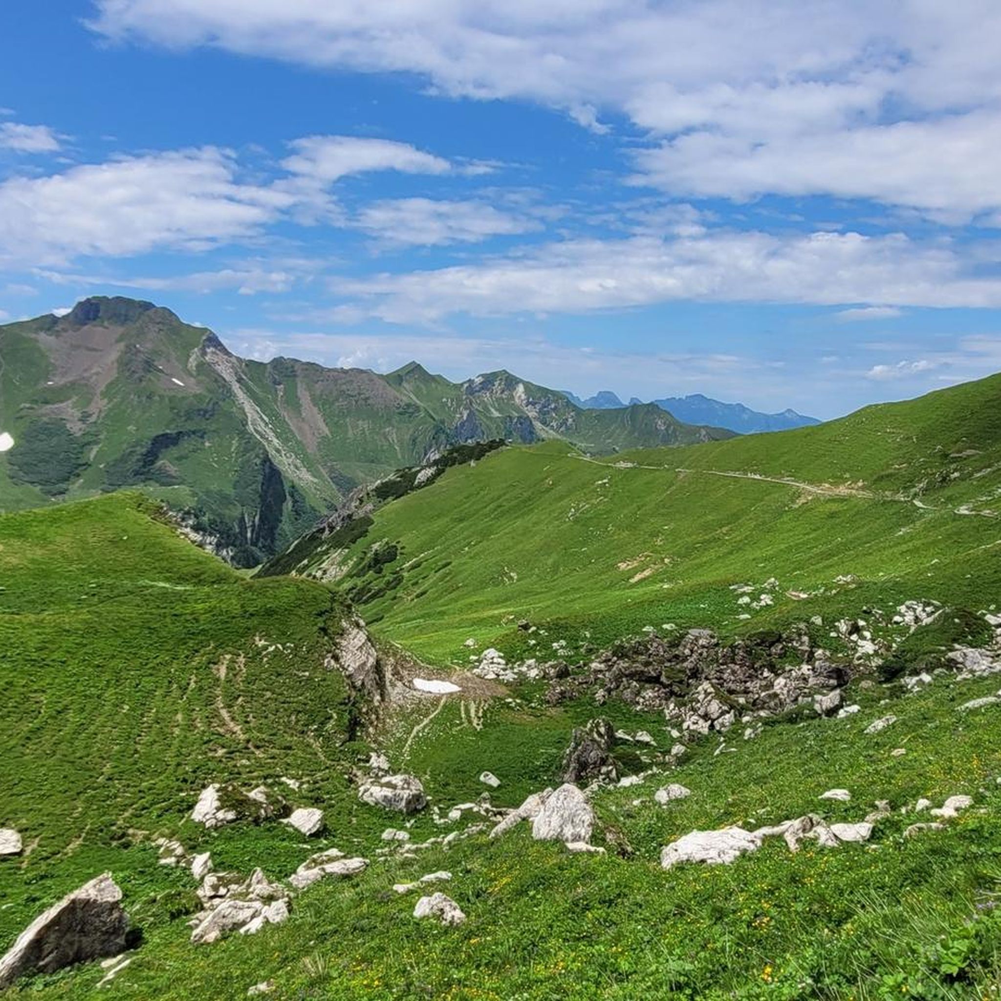
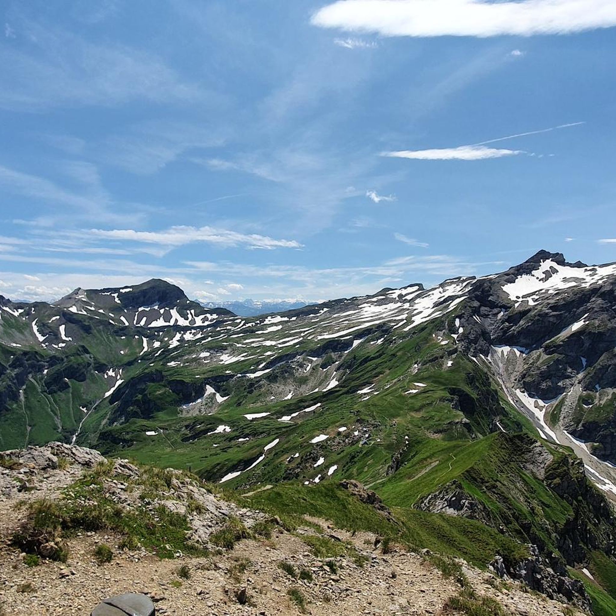
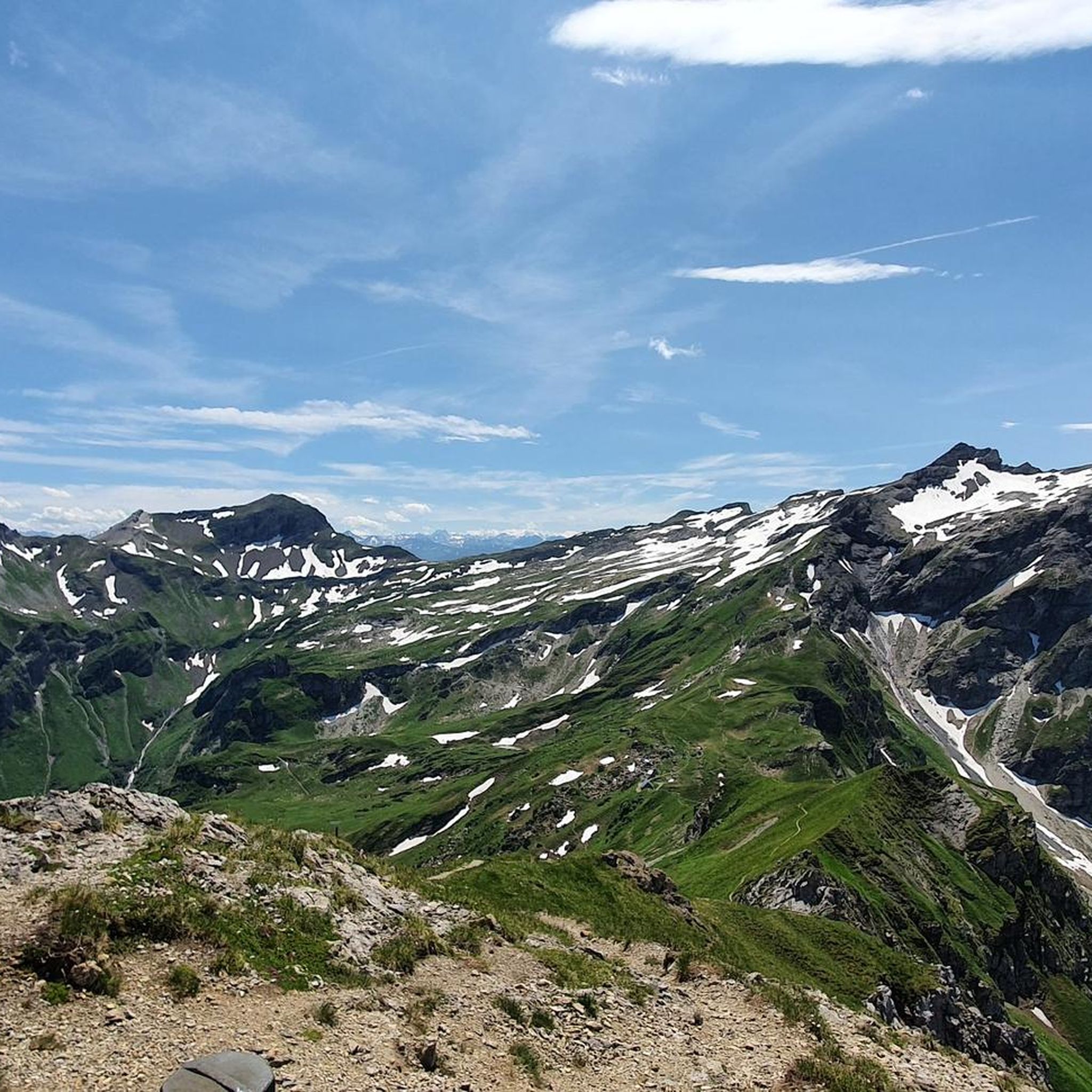
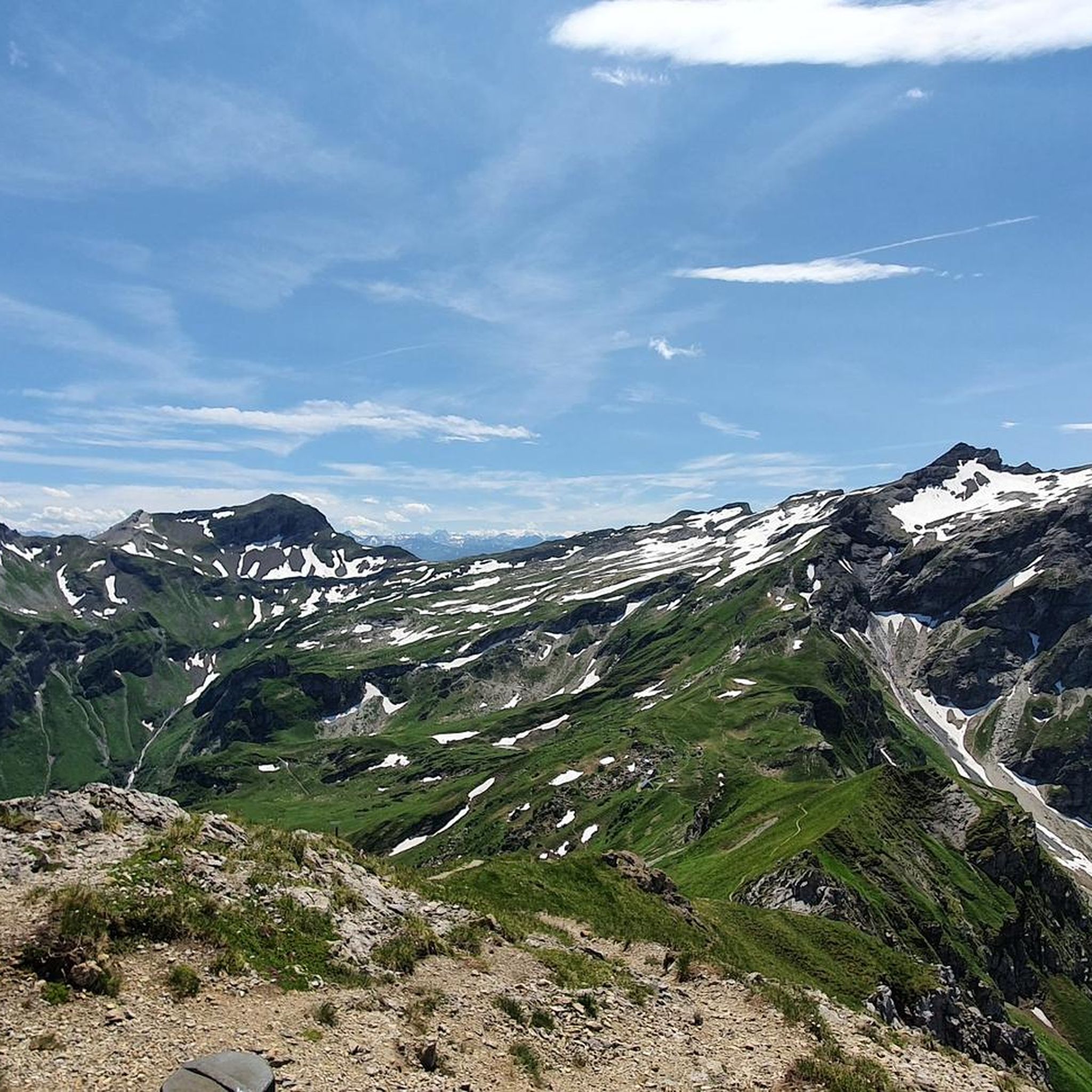
Mountaineering in Pflanzenschutzgebiet Nenzinger Himmel is characterized by its location within the Gamperdonatal valley, enclosed by the Rätikon mountain range. This region features diverse landscapes, including the Meng and Schalanza rivers, alpine meadows, and prominent peaks like the Panüeler and Naafkopf. The area offers challenging terrain for mountaineers, with significant elevation changes and high-alpine environments.
Best mountaineering routes in Pflanzenschutzgebiet Nenzinger Himmel
- The most popular mountaineering route is Alpe Setsch loop from Alpenmannstreu Gamperdonatal, a 4.5 miles (7.2 km)…
Last updated: July 7, 2026
4.7
(3)
18
hikers
7.33km
02:49
410m
410m
Moderate mountaineering route. Good fitness required. Mostly accessible paths. Sure-footedness required.
5
hikers
11.9km
08:13
1,450m
1,450m
Hard mountaineering route. Very good fitness required. Sure-footedness, sturdy shoes and alpine experience required.

Sign up for free
6
hikers
Moderate mountaineering route. Good fitness required. Mostly accessible paths. Sure-footedness required.
6
hikers
12.8km
06:39
1,010m
1,010m
Hard mountaineering route. Very good fitness required. Sure-footedness, sturdy shoes and alpine experience required.
6
hikers
14.4km
06:26
1,030m
1,030m
Hard mountaineering route. Very good fitness required. Mostly accessible paths. Sure-footedness required.
Get access to more routes and recommendations from other explorers.
Sign up for free
Already have an account?
Our route recommendations are based on thousands of hikes, rides, and runs completed by other people on komoot.
Start today with a free account
Your next adventure awaits.
Login or Signup
Popular around Pflanzenschutzgebiet Nenzinger Himmel
Running Trails in Pflanzenschutzgebiet Nenzinger Himmel
MTB Trails in Pflanzenschutzgebiet Nenzinger Himmel
Cycling in Pflanzenschutzgebiet Nenzinger Himmel
Hiking in Pflanzenschutzgebiet Nenzinger Himmel
Road Cycling Routes in Pflanzenschutzgebiet Nenzinger Himmel
Gravel biking in Pflanzenschutzgebiet Nenzinger Himmel
Tips from the Community

The Pfälzerhütte is a mountain hut belonging to the Liechtenstein Alpine Club. It is located on the Bettlerjoch at 2,108 m above sea level in the Rätikon range in Liechtenstein, directly on the Austrian border. Source: Pfälzerhütte – Wikipedia https://share.google/wWtgz88ocVANdqhL5
5
0

what a beautiful landscape to hike and marvel at
0
0

At 2,859 m, the Panülerkopf is the second-highest mountain in the Rätikon range. It can be climbed relatively easily (T3) from the Mannheimer Hut. Since the easiest route to the Mannheimer Hut leads over the ice of the Brandner Glacier, I recommend snow spikes and poles for this route. The ascent from the Zalimtal via the Leibersteig or Straußsteig is significantly more challenging (T4). From the summit of the Panülerkopf, you can see the neighboring Schesaplana (2,964 m), the Zimba, Lake Constance, and, on a clear day, even the Bernina Range and Ortler.
0
0

A challenging climb, requiring absolute surefootedness as it crosses steep scree and gravel fields, among other things. The view from the top is worth the effort...
2
0
A small, ice-cold mountain lake that offers a refreshing dip for your feet. Benches surround the lake, inviting you to take a rest and enjoy the beautiful panorama.
0
0
wow, what you can discover here ;-)
0
0

Perfect place to end a beautiful hike.
0
0

The entire Leibersteig is a lot of fun, but definitely not to be underestimated! It can be done with children if they are sure-footed, have a head for heights and can concentrate. Next time we would take a safety harness with us for our little one (6 years old).
4
0
Frequently Asked Questions
How many mountaineering routes are available in Pflanzenschutzgebiet Nenzinger Himmel?
Pflanzenschutzgebiet Nenzinger Himmel offers a wide array of mountaineering opportunities, with over 60 routes available. These range from moderate valley explorations to challenging high-alpine summit ascents.
Are there easy mountaineering routes suitable for beginners or families?
While many routes are challenging, there are options for those seeking a less strenuous experience. For instance, the Alpe Setsch loop from Alpenmannstreu Gamperdonatal is a moderate 4.5-mile trail that explores the scenic Gamperdonatal valley, making it a good choice for those looking for a more accessible mountaineering experience.
What are some challenging mountaineering routes in the area?
For experienced mountaineers, the region offers several demanding routes. The Augstenberg Summit – Pfälzerhütte loop from Alpenmannstreu Gamperdonatal is a difficult 8-mile path with significant ascents. Another challenging option is the Oberzalimscharte – Panüelerkopf Summit loop from Alpenmannstreu Gamperdonatal, a 7.3-mile trail leading through the Rätikon mountain range, often taking over 8 hours to complete.
Are there any circular mountaineering routes in Pflanzenschutzgebiet Nenzinger Himmel?
Yes, many routes in the region are designed as loops, allowing you to start and end at the same point. Examples include the Pfälzerhütte loop from Alpenmannstreu Gamperdonatal, which offers a moderate 10 km journey, and the more challenging Amatschonjoch – Fundelkopf Summit loop from Alpenmannstreu Gamperdonatal.
What kind of wildlife can I expect to see while mountaineering?
As a designated plant protection area, Nenzinger Himmel is rich in diverse flora and fauna. Keep an eye out for alpine wildlife in the forests and meadows, and observe the unique plant species that thrive in this pristine environment. The Gamperdonatal valley is particularly known for its rich plant and animal life.
Are there any notable landmarks or attractions along the mountaineering routes?
Absolutely. The region is dotted with significant natural and cultural landmarks. You can visit the impressive Pfälzerhütte, a mountain hut serving as a base for many tours, or ascend to the Naafkopf Summit, where the borders of Austria, Liechtenstein, and Switzerland meet. Other points of interest include the Stüba waterfall and the romantic Hirschsee.
Where can I find refreshments or accommodation during a mountaineering tour?
The Pfälzerhütte, located at 2,108 meters, is an excellent place for a break or overnight stay. Additionally, the Alpe Gamperdona, Vorarlberg's largest Sennalpe, offers traditional regional meals and alpine products, providing a taste of local culture and sustenance during your journey.
What is the best time of year for mountaineering in Nenzinger Himmel?
The best time for mountaineering in Pflanzenschutzgebiet Nenzinger Himmel is typically during the warmer months, from late spring to early autumn, when trails are clear of snow and weather conditions are more stable. This allows for full access to the high-alpine terrain and offers the best views of the vibrant alpine flora.
Is there parking available for mountaineers in Pflanzenschutzgebiet Nenzinger Himmel?
The Nenzinger Himmel area is largely car-free to preserve its tranquil environment. Access is primarily by foot or via a shuttle bus service. It's advisable to check local transport options and designated parking areas outside the car-free zone before your visit.
Are there any specific permits required for mountaineering in this region?
Pflanzenschutzgebiet Nenzinger Himmel is a plant protection area, emphasizing the preservation of its unique alpine flora and fauna. While general mountaineering permits are not typically required for hiking, it's always recommended to respect local regulations and stay on marked trails to protect the sensitive environment.
What makes mountaineering in Pflanzenschutzgebiet Nenzinger Himmel unique?
Mountaineering here is unique due to its location within the pristine Gamperdonatal valley, enclosed by the dramatic Rätikon mountain range. The car-free nature of much of the area ensures a quiet, untouched experience, with diverse landscapes ranging from river valleys and alpine meadows to prominent peaks like the Panüeler and Naafkopf, offering both challenging terrain and serene beauty.
How do other mountaineers rate the trails in this region?
The mountaineering routes in Pflanzenschutzgebiet Nenzinger Himmel are highly regarded by the komoot community, holding an impressive average rating of 4.8 stars from over 250 reviews. Mountaineers frequently praise the varied terrain, stunning high-alpine environments, and the overall pristine nature of the area.
Most popular routes in Pflanzenschutzgebiet Nenzinger Himmel
Most popular attractions in Pflanzenschutzgebiet Nenzinger Himmel

Get inspired with the komoot mobile app


Explore more
Browse the best Mountain Hikes & Routes in other regions.
