The best road cycling routes in Arnspitze
4.5
(193)
5,079
riders
31
rides
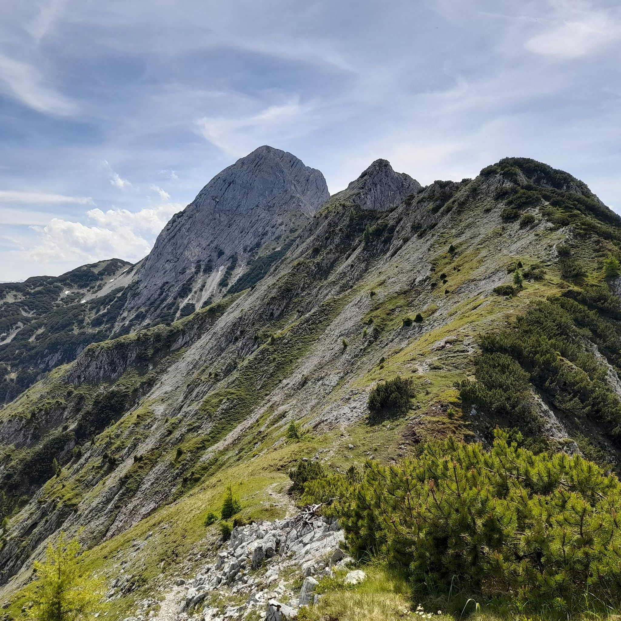
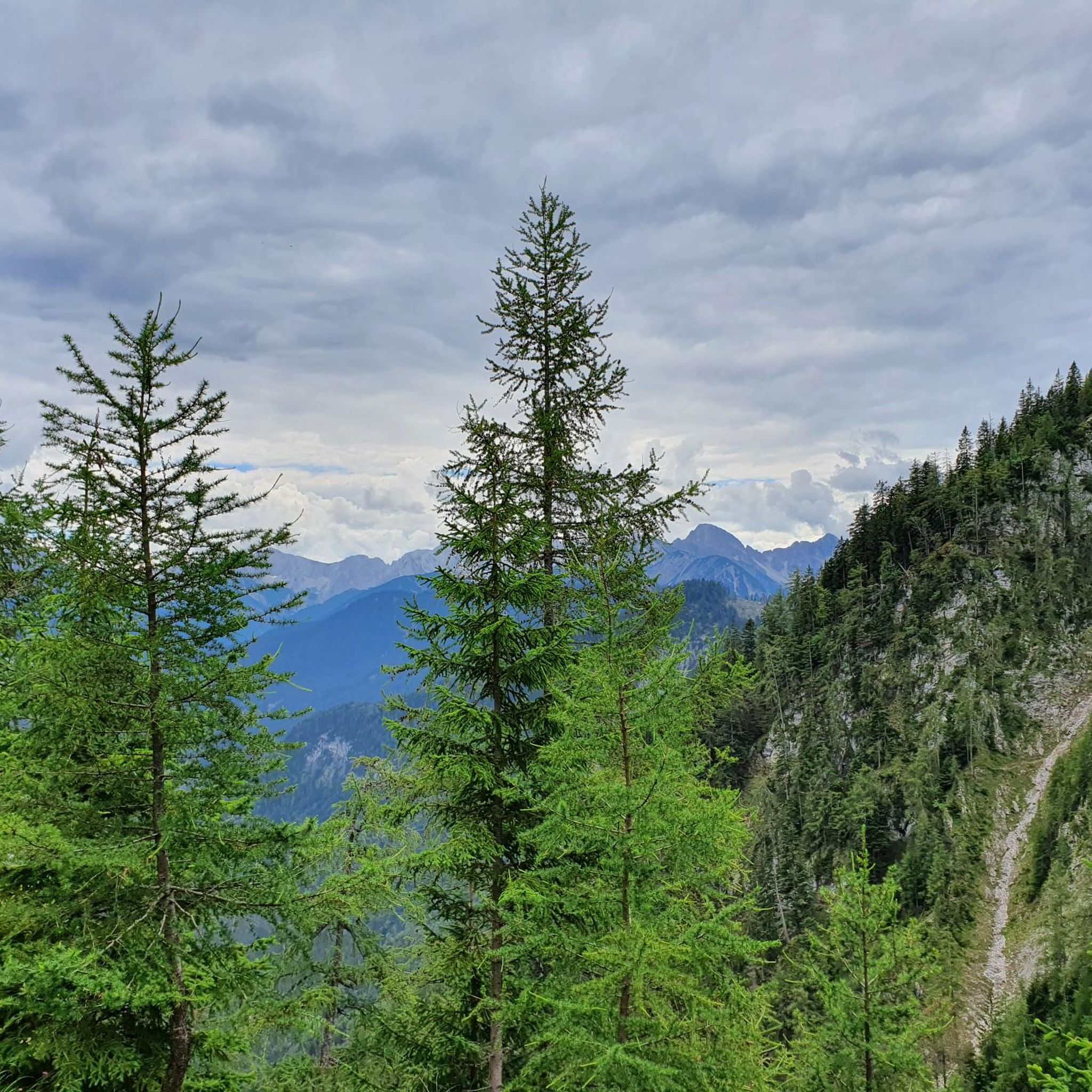
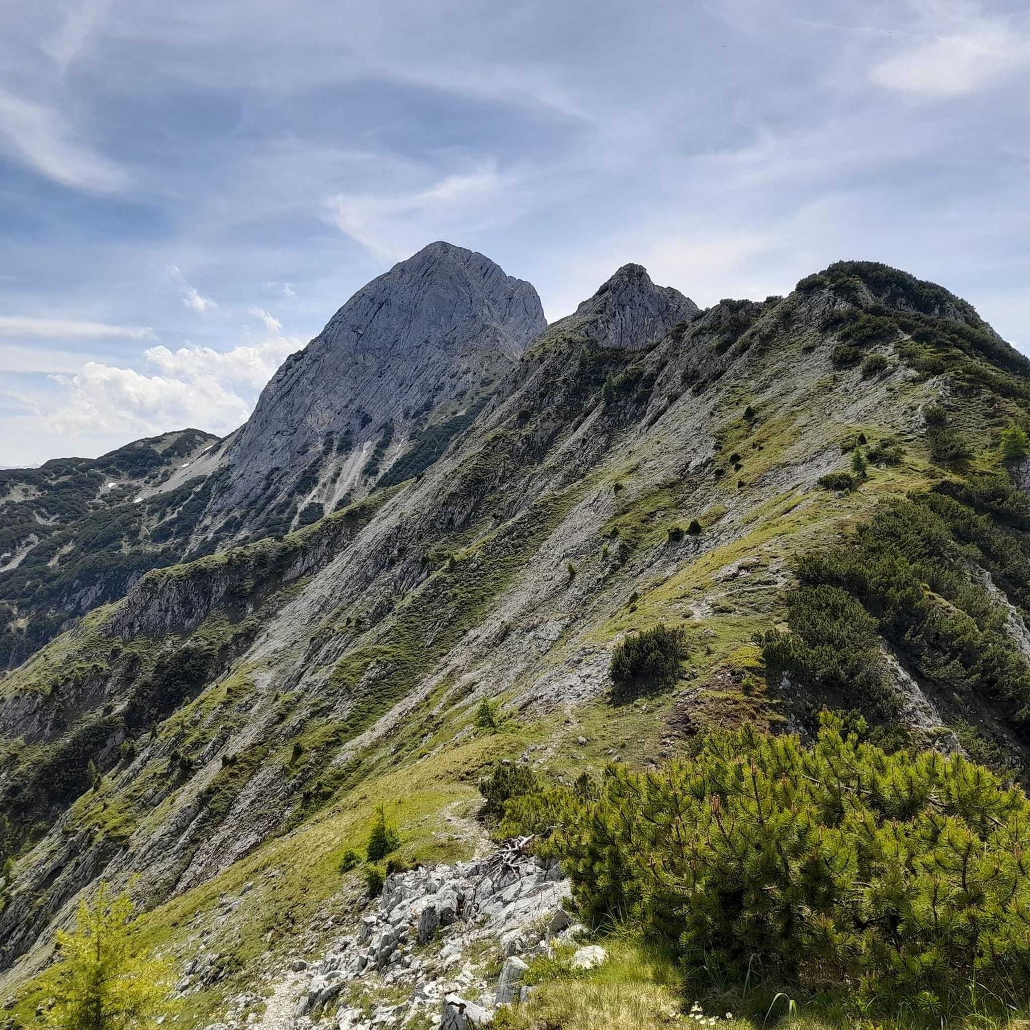
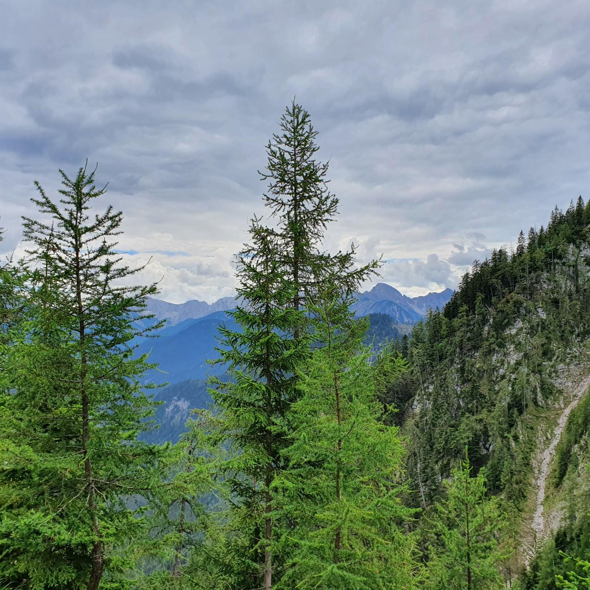
Road cycling routes in Arnspitze traverse a mountainous region characterized by high peaks, deep valleys, and dense forests. The area, situated near Landkreis Garmisch-Partenkirchen, offers varied terrain suitable for road cycling. Routes often feature ascents and descents through alpine landscapes, with views of prominent natural features. The region's geography provides a mix of challenging climbs and scenic valley rides.
Best road cycling routes in Arnspitze
- The most popular road cycling route is View of the Zugspitze – Häselgehrbach Waterfall loop from Scharnitz, a 55.1 miles (88.6 km) trail that takes 3 hours 52 minutes to complete. This route offers expansive views of the Zugspitze and passes by the Häselgehrbach Waterfall.
- Another top favourite among local road cyclists is Leutasch Valley Scenic Road – Leutasch sign loop from Burggraben, an easy 16.5 miles (26.6 km) path. This route follows a scenic road through the Leutasch Valley, providing gentle gradients and picturesque surroundings.
- Local road cyclists also love the Seefeld Archway – Mösern loop from Scharnitz, a 21.1 miles (33.9 km) trail leading through alpine villages and forested areas, often completed in about 1 hour 38 minutes.
- Road cycling in Arnspitze is defined by mountain passes, scenic valleys, and forested roads. The network offers options for easy, moderate, and challenging routes, catering to various ability levels.
- The routes in Arnspitze are highly rated by the komoot community with an average score of 4.5 stars from over 180 reviews. More than 4,800 road cyclists have used komoot to explore Arnspitze's varied terrain.
Last updated: July 5, 2026
40
riders
88.6km
03:52
810m
810m
Moderate road ride. Good fitness required. Mostly well-paved surfaces and easy to ride.
49
riders
17.9km
00:58
100m
100m
Moderate road ride. Great for any fitness level. Some segments of this route may be unpaved and difficult to ride.

Sign up for free
89
riders
26.6km
01:05
160m
160m
Easy road ride. Great for any fitness level. Mostly well-paved surfaces and easy to ride.
27
riders
34.1km
01:39
440m
440m
Moderate road ride. Good fitness required. Mostly well-paved surfaces and easy to ride.
21
riders
34.1km
01:39
450m
450m
Moderate road ride. Good fitness required. Some segments of this route may be unpaved and difficult to ride.
Get access to more routes and recommendations from other explorers.
Sign up for free
Already have an account?
Our route recommendations are based on thousands of hikes, rides, and runs completed by other people on komoot.
Start today with a free account
Your next adventure awaits.
Login or Signup


Tips from the Community

You should really have a coffee here. https://www.viktor-kaffeehaus.at/
0
0
It's just the living room of the city. https://www.seefeld.com/de/infrastrukturen/pfarrkirche-st-oswald.html
0
0

The Seekirchl church is beautifully situated right next to the cross-country ski trail and is perfect for a photo. However, you won't be alone here while cross-country skiing.
0
0

Beautiful town center with many places to stop for refreshments. The municipality lies on a plateau between the Wetterstein Mountains and the Karwendel Mountains, on an old road from Mittenwald to Innsbruck that has been important since the Middle Ages.
1
0
Gateway to the high plateau in Seefeld
0
0
Summit in Mösern after the climb from Telfs. A good 6 kilometers with an average gradient of 9%.
0
0

Brilliant from every angle, the Hohe Munde.
0
0

Seefeld is one of the best places for cross-country skiing. The trails are long and interesting, especially during snowy winters. They take you through beautiful landscapes with impressive mountain views. It’s a wonderful place to enjoy skiing and take in the calm surroundings.
1
0
Frequently Asked Questions
How many road cycling routes are available in Arnspitze?
Arnspitze offers a diverse network of over 30 road cycling routes. These routes cater to various skill levels, ranging from easy valley rides to more challenging alpine ascents.
What is the best time of year for road cycling in Arnspitze?
The ideal time for road cycling in Arnspitze is typically from late spring to early autumn (May to October). During these months, the weather is generally more stable, and mountain passes are clear of snow, offering the best conditions for exploring the region's scenic routes.
Are there easy road cycling routes suitable for beginners or families in Arnspitze?
Yes, Arnspitze has several easy routes perfect for beginners or families. For instance, the Leutasch Valley Scenic Road – Leutasch sign loop from Burggraben is an easy 16.5-mile path that follows a scenic road with gentle gradients through the picturesque Leutasch Valley.
Where can I find challenging road cycling routes in Arnspitze?
For those seeking a challenge, Arnspitze's mountainous terrain provides several demanding routes. The region features routes with significant elevation gains, such as the View of the Zugspitze – Häselgehrbach Waterfall loop from Scharnitz, which covers 55.1 miles with over 800 meters of ascent, offering expansive views and a rewarding ride.
What kind of scenery can I expect on road cycling routes in Arnspitze?
Road cycling in Arnspitze offers breathtaking alpine scenery. You'll encounter high peaks, deep valleys, dense forests, and often expansive views of prominent natural features like the Zugspitze. Routes frequently pass through charming alpine villages and along scenic river valleys.
Are there any circular road cycling routes in Arnspitze?
Many of the road cycling routes in Arnspitze are designed as loops, allowing you to start and finish at the same point. Examples include the Seefeld Archway – Mösern loop from Scharnitz and the Seefeld Archway – View of the Seefeld Ski Jumps loop from Scharnitz, both offering varied terrain and scenic views.
What are some notable landmarks or attractions along the road cycling routes in Arnspitze?
While cycling, you might pass by or near several interesting points. Highlights include the Arnspitz Hut, offering a mountain experience, or the Riedboden Nature Reserve. Some routes also offer views of the Schartenkopf Ridge or the unique Lead Caves (Smugglers' Caves) near Mittenwald.
How long do road cycling routes in Arnspitze typically take to complete?
The duration of road cycling routes in Arnspitze varies significantly based on distance, elevation, and your pace. Easy routes like the Leutasch Valley Scenic Road – Leutasch sign loop from Burggraben can be completed in under 1.5 hours, while longer, more challenging tours such as the View of the Zugspitze – Häselgehrbach Waterfall loop from Scharnitz might take nearly 4 hours.
What do other road cyclists enjoy most about road cycling in Arnspitze?
The road cycling experience in Arnspitze is highly rated by the komoot community, with an average score of 4.5 stars. Reviewers often praise the region's diverse terrain, from challenging climbs to scenic valley rides, and the stunning alpine views, particularly those of the Zugspitze and through the Leutasch Valley.
Are there any routes that feature waterfalls or other natural water features?
Yes, some routes incorporate natural water features. For example, the View of the Zugspitze – Häselgehrbach Waterfall loop from Scharnitz specifically passes by the Häselgehrbach Waterfall, offering a refreshing stop along the way.
Can I find routes that offer views of the Zugspitze?
Absolutely. The region's proximity to the Zugspitze means many routes offer spectacular views of Germany's highest peak. The View of the Zugspitze – Häselgehrbach Waterfall loop from Scharnitz is a prime example, designed to showcase these expansive mountain vistas.
Are there routes that explore the Leutasch Valley?
The Leutasch Valley is a popular and scenic area for road cycling in Arnspitze. Routes like the Leutasch Valley Scenic Road – Leutasch sign loop from Burggraben and the Leutasch sign – Weidachsee Fishing Lake loop from Scharnitz specifically traverse this beautiful valley, offering gentle gradients and picturesque surroundings.
Most popular routes in Arnspitze
Most popular attractions in Arnspitze

Get inspired with the komoot mobile app


Explore more
Browse the best Road cycling routes in other regions.
