The best mountain hikes in Hoher Ifen
4.7
(2390)
13,997
hikers
347
hikes
Mountaineering in Hoher Ifen offers diverse terrain centered around the striking 2,230-meter table mountain on the German-Austrian border. The region is characterized by the unique karst landscape of the Gottesacker plateau, featuring bizarre rock formations and deep crevices. Steep north drops provide dramatic backdrops and panoramic views, while the Schwarzwassertal valley offers contrasting alpine grasslands and spruce forests. Mountaineering routes often include coarse scree fields and rock cliffs, with some sections requiring sure-footedness.
Best mountaineering routes in Hoher Ifen
- The…
Last updated: October 5, 2026
4.8
(8)
38
hikers
12.8km
04:55
570m
570m
Moderate mountaineering route. Good fitness required. Mostly accessible paths. Sure-footedness required.
23
hikers
14.6km
06:13
900m
900m
Hard mountaineering route. Very good fitness required. Mostly accessible paths. Sure-footedness required.

5.0
(3)
11
hikers
13.5km
05:29
780m
780m
Hard mountaineering route. Very good fitness required. Sure-footedness, sturdy shoes and alpine experience required.
5.0
(2)
12
hikers
11.8km
04:38
640m
640m
Moderate mountaineering route. Good fitness required. Mostly accessible paths. Sure-footedness required.
4
hikers
18.5km
05:41
590m
590m
Hard mountaineering route. Very good fitness required. Mostly accessible paths. Sure-footedness required.
Get access to more routes and recommendations from other explorers.
Already have an account?
Our route recommendations are based on thousands of hikes, rides, and runs completed by other people on komoot.
Start today with a free account
Your next adventure awaits.
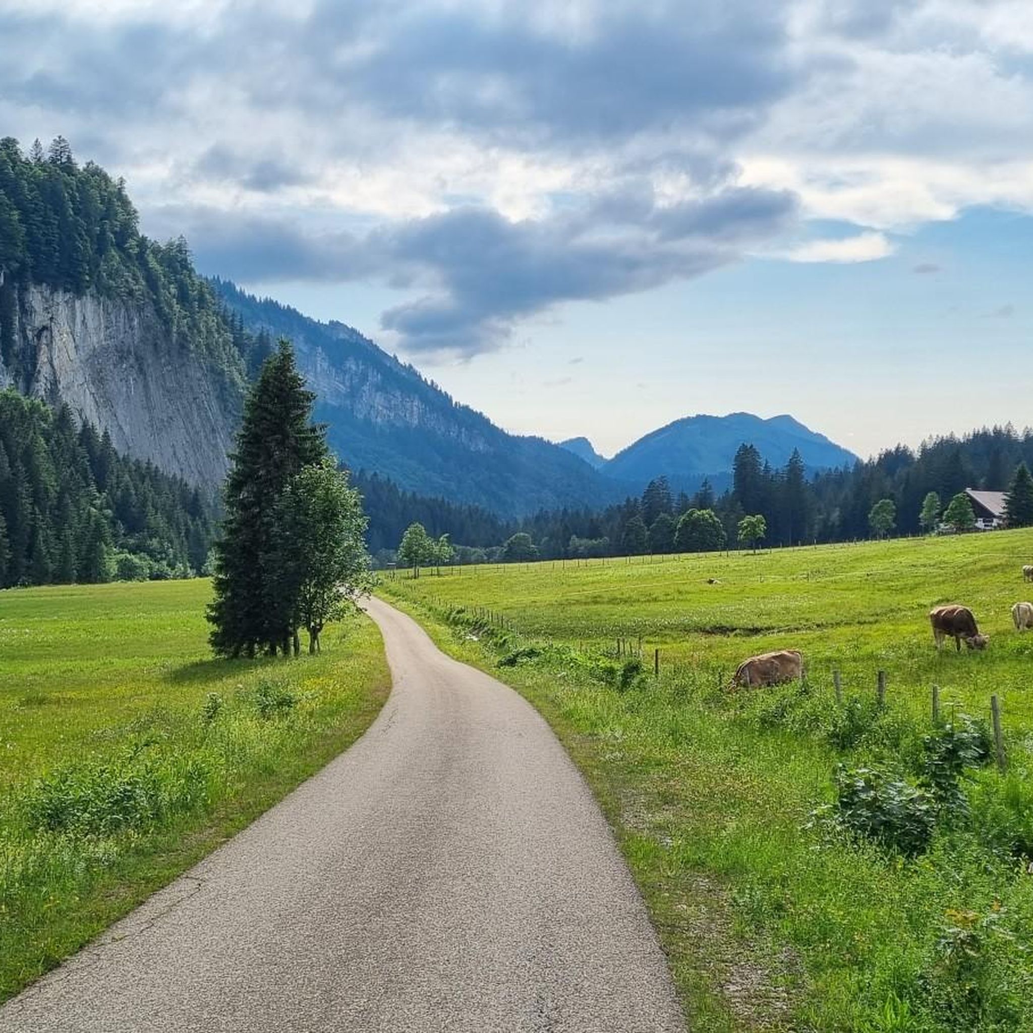
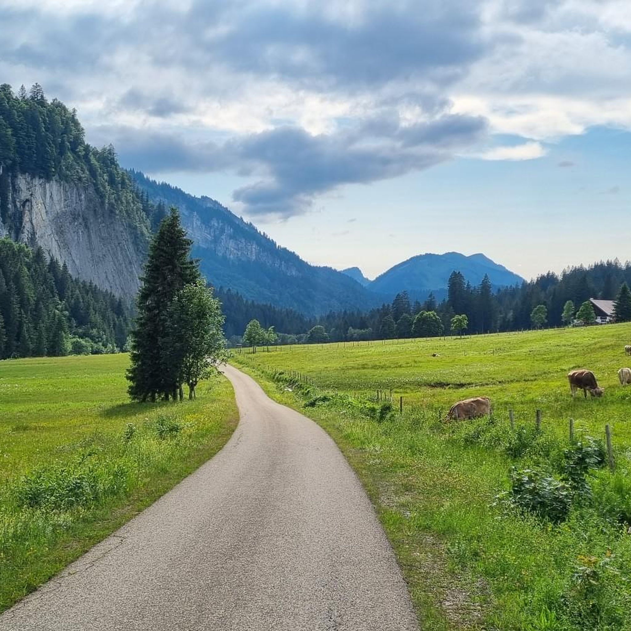
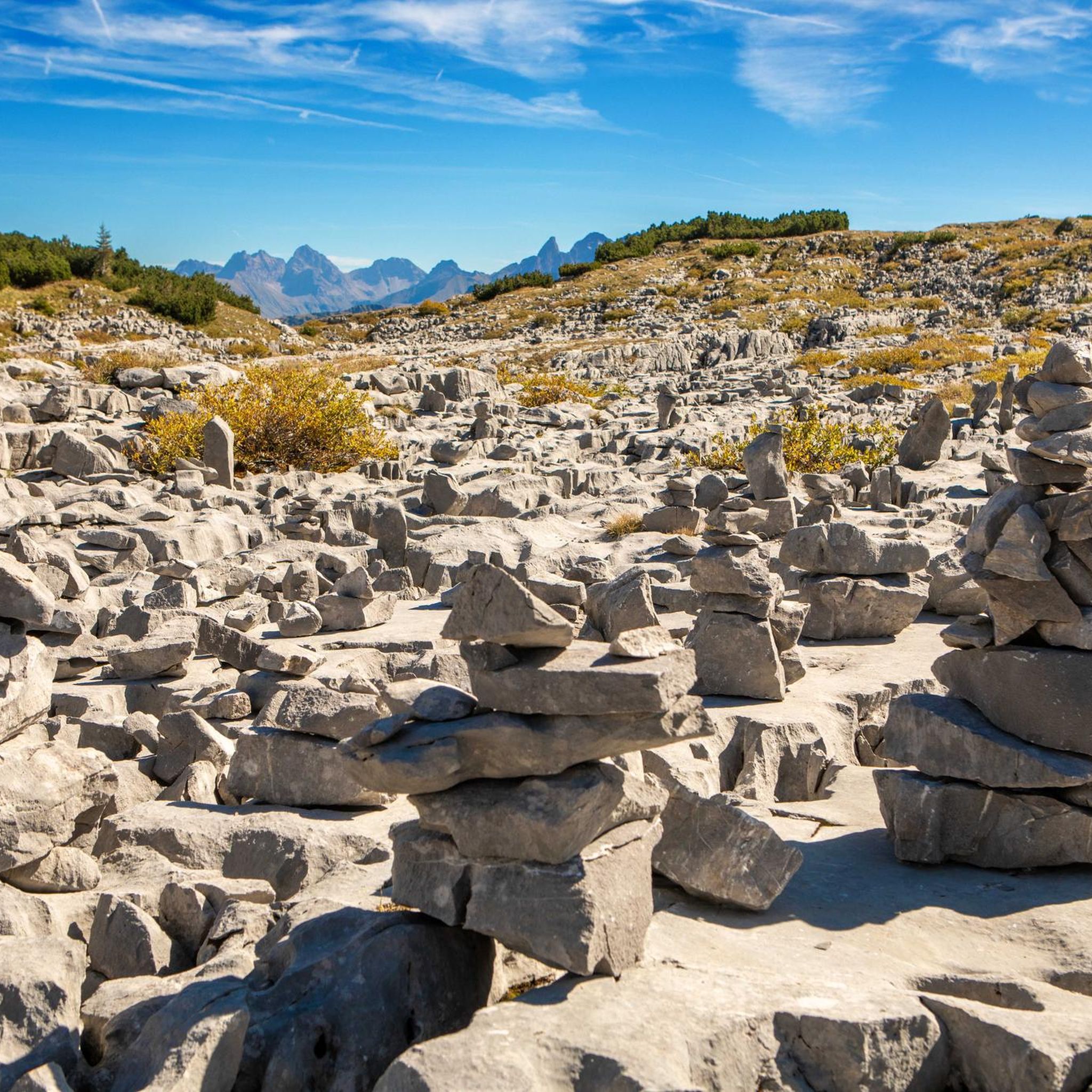
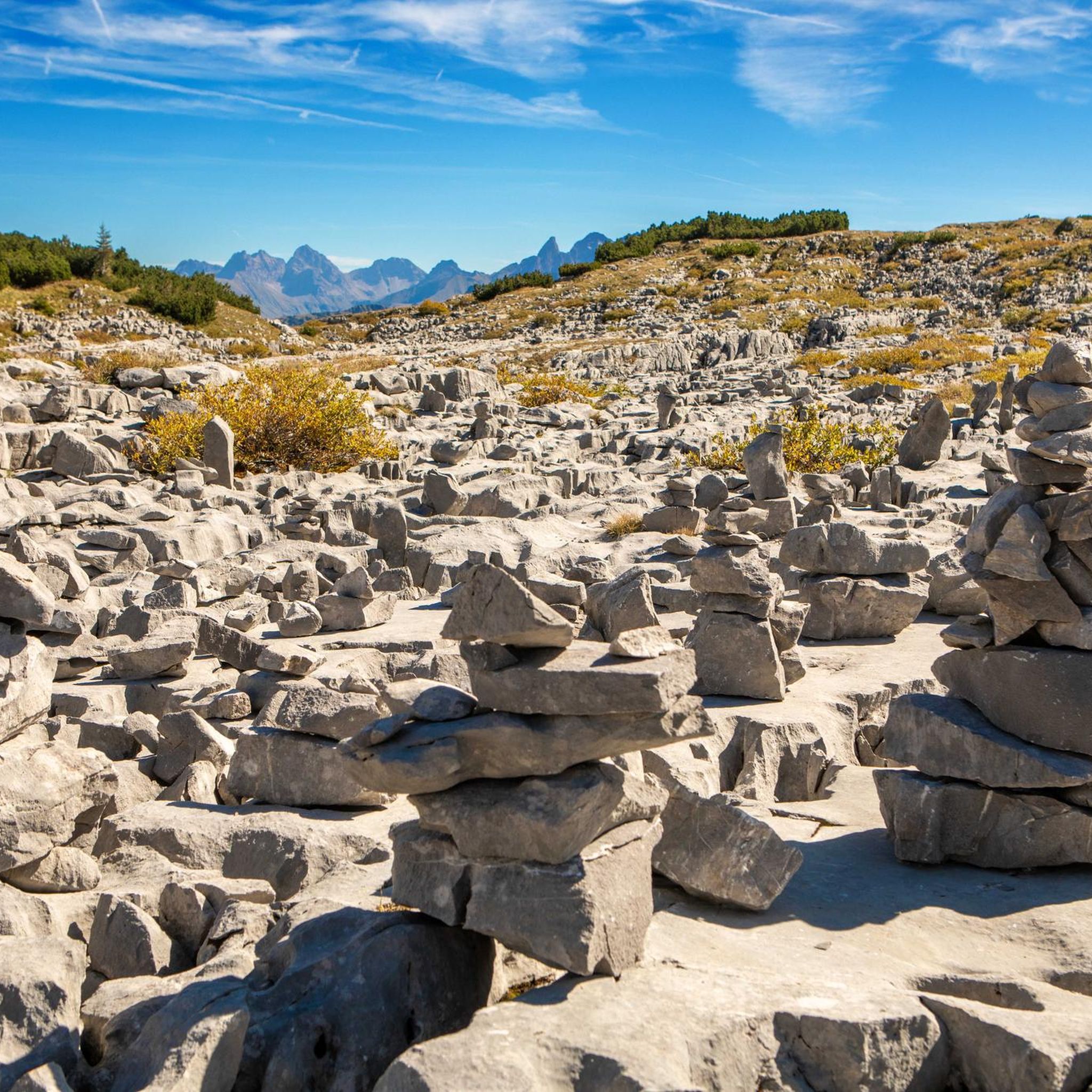

Tips from the Community

Yes, absolutely! From the Geißberg (often also written Gaißberg) you have a fantastic view of Tiefenbach. The 1,372-meter-high summit is considered the absolute local mountain of the Oberstdorf district Tiefenbach and offers a grandiose panorama.
7
0
Around Tiefenbach (near Oberstdorf in the Allgäu region) there are numerous varied hiking trails for every level of difficulty. 🥾🥾
7
0

Schwende is a beautiful hiking area with lovely views of the mountains and the Kleinwalsertal valley.
3
0
This is how dairy farming was done in the past and the milk was processed into butter.
3
0

View of Riezlern & the Schwende Bridge over the Breitach
0
0

Located at 1,279 meters, the Alpe Dinjörgen is a beautiful and peaceful spot for a snack. The homemade products taste wonderful! 👍
7
0
The Piesenalpe chapel is situated in a beautiful mountain location above the actual alp.
9
0
The 1,630-meter-high Piesenkopf can be reached without any particular difficulties. It is a worthwhile destination just for the surrounding landscape and the view.
9
0
Frequently Asked Questions
How many mountaineering routes are available in Hoher Ifen?
Hoher Ifen offers a wide array of mountaineering routes, with over 370 tours recorded on komoot. These range from moderate ascents to challenging alpine routes, catering to various skill levels.
What are the difficulty levels of mountaineering routes in Hoher Ifen?
The routes in Hoher Ifen span a broad spectrum of difficulty. You'll find 14 easy routes, 152 moderate routes, and 204 difficult routes. The region is known for its challenging terrain, including coarse scree fields and rock cliffs, with some sections requiring sure-footedness and a head for heights.
Are there any circular mountaineering routes in Hoher Ifen?
Yes, Hoher Ifen is particularly known for its challenging circular routes. An example of a moderate circular route is the Chapel near the Piesenalpe – Rohrmoos Valley loop from Rohrmoos, which takes about 4 hours 55 minutes. For a more difficult option, consider the Hölloch Cave Entrance – Mahdtalalpe in Mahdtal loop from Riezlern.
What unique natural features can I expect to see while mountaineering in Hoher Ifen?
Hoher Ifen is renowned for its unique geology. A primary draw is the Gottesacker Plateau, a fascinating karst landscape with bizarre rock formations, deep crevices, and a barren, cracked rock surface. You might also encounter the Hölloch Cave Entrance, part of an intricate underground cave system.
What is the best time of year for mountaineering in Hoher Ifen?
The summer months are ideal for mountaineering in Hoher Ifen, offering the best conditions for tackling the varied terrain. In winter, the area transforms into a snowy landscape, suitable for skiing, snowshoeing, and winter hiking, but mountaineering conditions become significantly more challenging due to snow and ice.
Are there any family-friendly hiking options in Hoher Ifen?
While many mountaineering routes in Hoher Ifen are demanding, there are less strenuous options available. For example, a panoramic trail from the middle station of the Ifen cable car offers beautiful views without the intense challenge of summit tours. Look for routes categorized as 'easy' on komoot for suitable family outings.
What are some notable landmarks or points of interest along the routes?
Beyond the natural beauty, you can find several points of interest. The Summit Cross of Hoher Ifen offers panoramic views, and the Hahnenköpfle Summit provides vistas of the Swiss Alps and Lake Constance. You can also explore mountain passes like the Rohrmoos Saddle (1,120 m).
What do other mountaineers enjoy most about Hoher Ifen?
The area is highly rated by the komoot community, with an average score of 4.8 stars from over 2,300 reviews. Reviewers often praise the unique karst landscape of the Gottesacker plateau, the dramatic steep north drops, and the diverse valley terrain that offers a variety of challenges and stunning views.
Are there any routes that explore the Schwarzwassertal valley?
Yes, the Schwarzwassertal valley offers a contrasting landscape to the Gottesacker plateau, with alpine calcareous grasslands and spruce forests. Mountaineers can choose routes like the western approach to Hoher Ifen through the Schwarzwassertal valley via the Schwarzwasserhütte and Ifersgun alp, providing a different scenic experience.
What kind of wildlife might I encounter in Hoher Ifen?
The diverse landscapes of Hoher Ifen support a variety of wildlife. In the Schwarzwassertal valley, you might spot rare plants, woodpeckers, owls, golden eagles, reptiles, and specific butterflies. The unique alpine flora of the Gottesacker plateau includes rare plants such as the Hungarian gentian and alpine roses.
Are there any routes that pass by historical chapels?
Yes, some routes lead through valleys past historic chapels. For instance, the St. Anna Chapel – Mountain Chapel loop from Rohrmoos is an 8.1-mile (13.1 km) trail that takes you past these charming historical sites.
What are the typical conditions for ascending to the Hoher Ifen summit?
The ascent to the Hoher Ifen summit plateau often involves steep sections where hand ropes are provided for assistance during summer. Mountaineers should be prepared for varied terrain, including coarse scree fields and massive rock cliffs. Sure-footedness and a head for heights are essential for these challenging sections.
Most popular routes in Hoher Ifen
Most popular attractions in Hoher Ifen

Get inspired with the komoot mobile app


Explore more
Browse the best Mountain Hikes & Routes in other regions.
