The best mountain hikes in Moore Um Die Wies
4.7
(59)
539
hikers
15
hikes
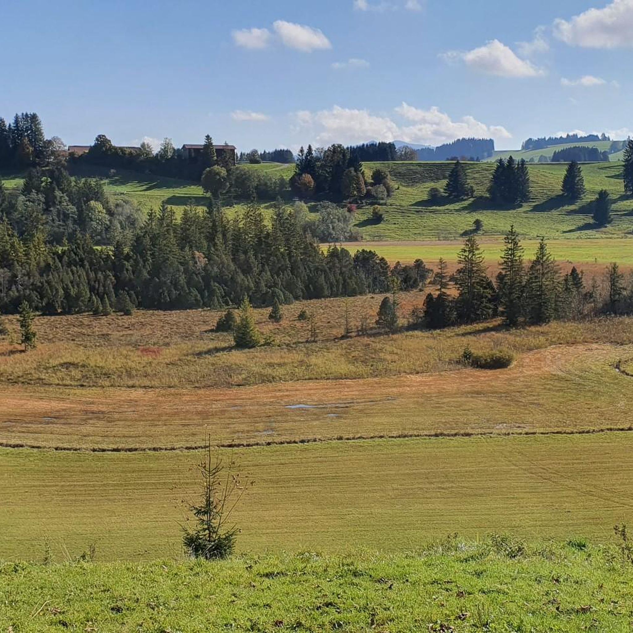
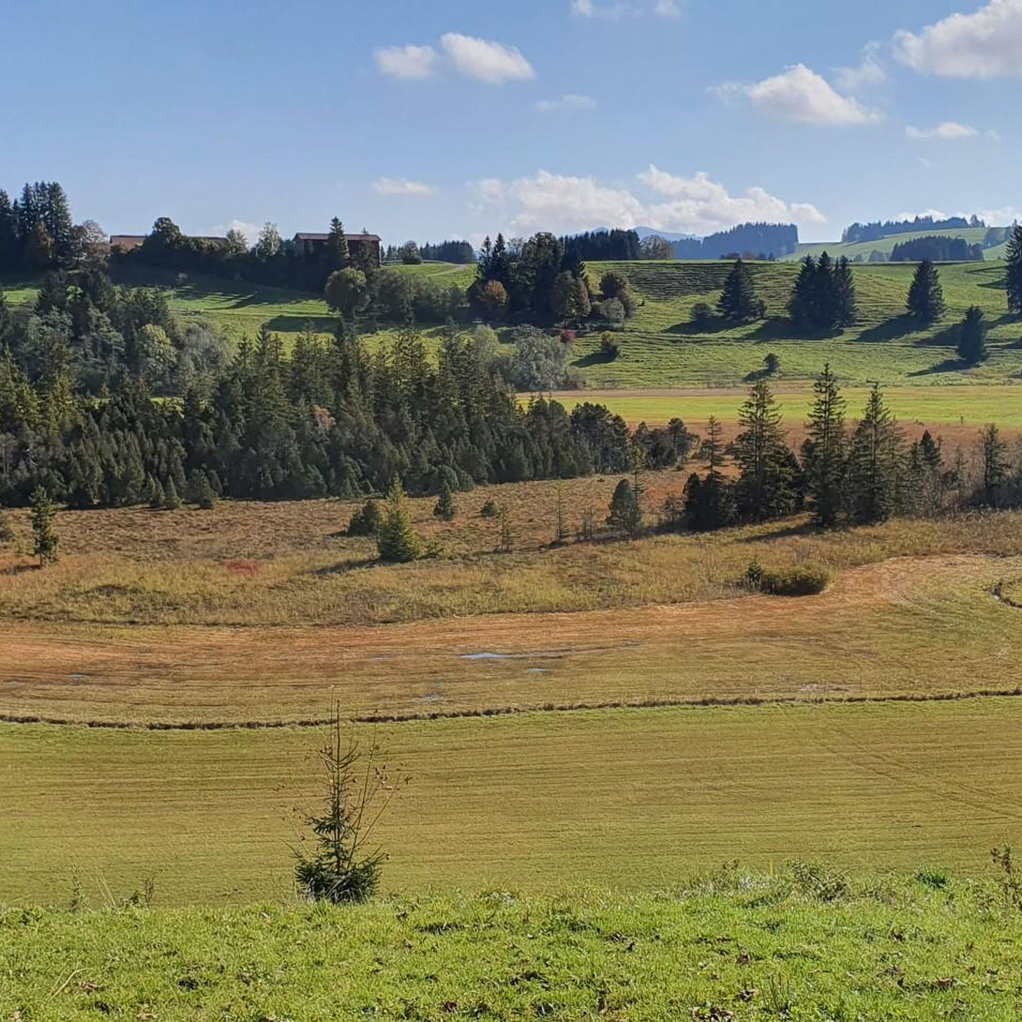
Mountaineering routes in Moore Um Die Wies are characterized by a landscape of forested hills, river valleys, and accessible summits. The region, situated near Weilheim-Schongau, offers varied terrain suitable for different skill levels. Elevations typically involve steady climbs to viewpoints and summit crosses, providing panoramic vistas over the surrounding countryside. The area features a mix of woodland paths and open sections, often following natural contours.
Best mountaineering routes in Moore Um Die Wies
- The most popular mountaineering route is Summit…
Last updated: August 25, 2026
4.7
(6)
36
hikers
11.5km
04:13
660m
660m
Moderate mountaineering route. Good fitness required. Mostly accessible paths. Sure-footedness required.
5.0
(1)
24
hikers
9.39km
03:50
650m
650m
Moderate mountaineering route. Good fitness required. Mostly accessible paths. Sure-footedness required.

Sign up for free
4.5
(2)
12
hikers
15.4km
05:19
790m
790m
Hard mountaineering route. Very good fitness required. Mostly accessible paths. Sure-footedness required.
5.0
(1)
10
hikers
Moderate mountaineering route. Good fitness required. Mostly accessible paths. Sure-footedness required.
4.4
(12)
54
hikers
Hard mountaineering route. Very good fitness required. Mostly accessible paths. Sure-footedness required.
Get access to more routes and recommendations from other explorers.
Sign up for free
Already have an account?
Our route recommendations are based on thousands of hikes, rides, and runs completed by other people on komoot.
Start today with a free account
Your next adventure awaits.
Login or Signup

Tips from the Community

A pleasant alpine saddle with open meadows and great views toward the Brunnenkopf. A natural resting spot and good orientation point on this loop route.
0
0

An absolute highlight of the hike for children
0
0
Halblech hiking car park
0
0
Several hiking trails cross here
1
1

At the summit cross you will find a bench for your break.
2
0

It's nice when you get out of the endless forest and can finally enjoy some view.
0
0

Beautiful pass between Oberammergau and the Kenzenhütte
0
1

Great tour with wonderful views at the summit. You do have to have a bit of fitness, but all in all it's a dream, especially when the weather is nice!
1
1
Frequently Asked Questions
How many mountaineering routes are available in Moore Um Die Wies?
Moore Um Die Wies offers a diverse selection of 17 mountaineering routes. These range from easy strolls to more challenging ascents, providing options for various skill levels.
Are there easy mountaineering routes suitable for beginners?
Yes, there is at least one easy mountaineering route in Moore Um Die Wies. While many routes are moderate, beginners can find suitable options to enjoy the region's forested hills and accessible summits.
What kind of challenges can I expect on the more difficult routes?
For experienced mountaineers seeking a challenge, Moore Um Die Wies features 4 difficult routes. These typically involve significant elevation gains and longer distances, such as the Niederbleick Summit – View from Niederbleick loop from Trauchgau, which covers 9.6 miles (15.4 km) with nearly 790 meters of ascent.
Are there any circular mountaineering routes?
Many of the mountaineering routes in Moore Um Die Wies are designed as loops, allowing you to start and finish in the same location. Examples include the popular Summit Cross on Wolfskopf – Bruckköpfel loop from Trauchgau and the Summit Cross – Summit Cross on Hochschergen loop from Unternogg.
What are the best times of year to go mountaineering in Moore Um Die Wies?
The best time for mountaineering in Moore Um Die Wies is typically from late spring through early autumn (May to October). During these months, the weather is generally more stable, and trails are clear of snow, offering the most pleasant conditions for exploring the forested hills and river valleys.
What can I see along the mountaineering routes in Moore Um Die Wies?
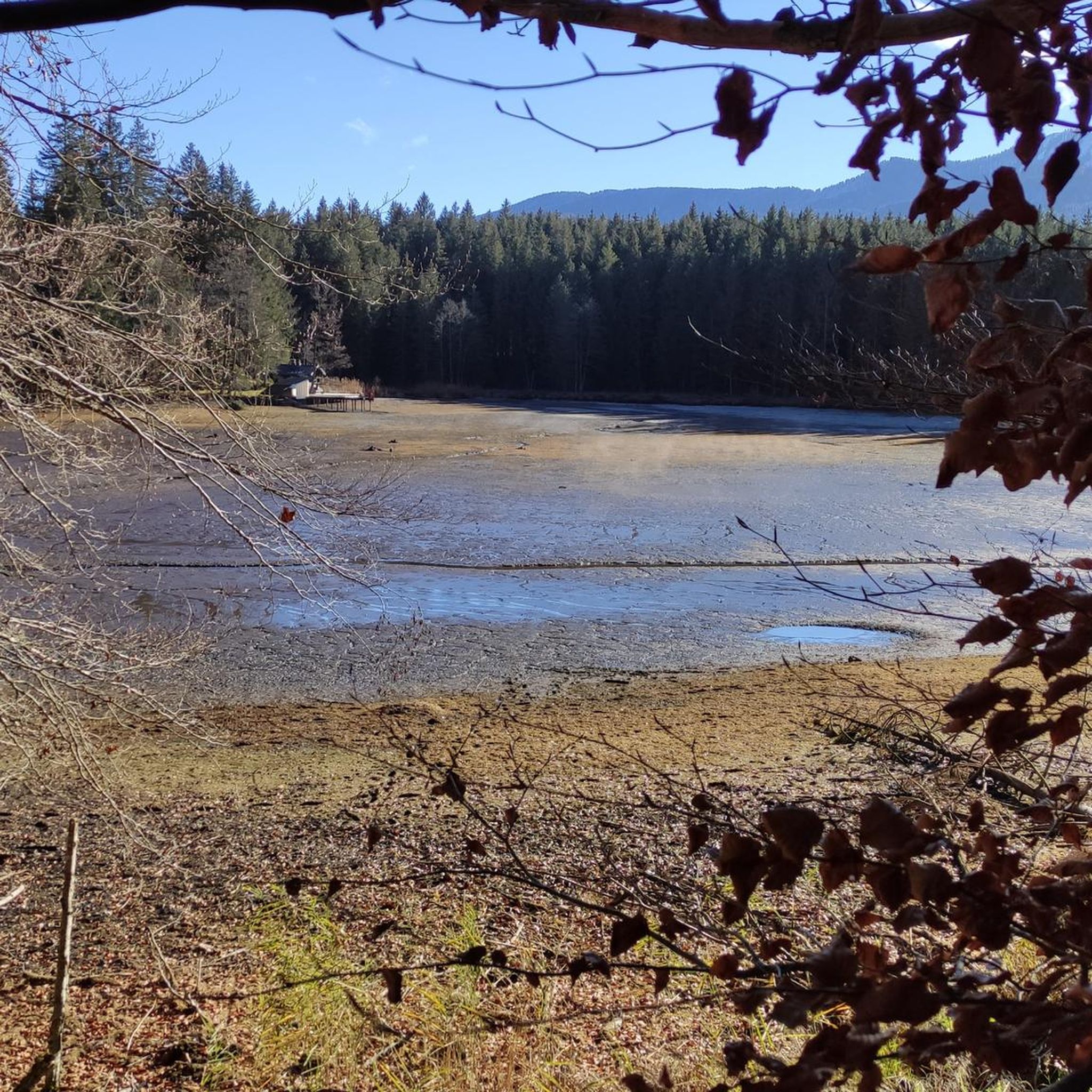
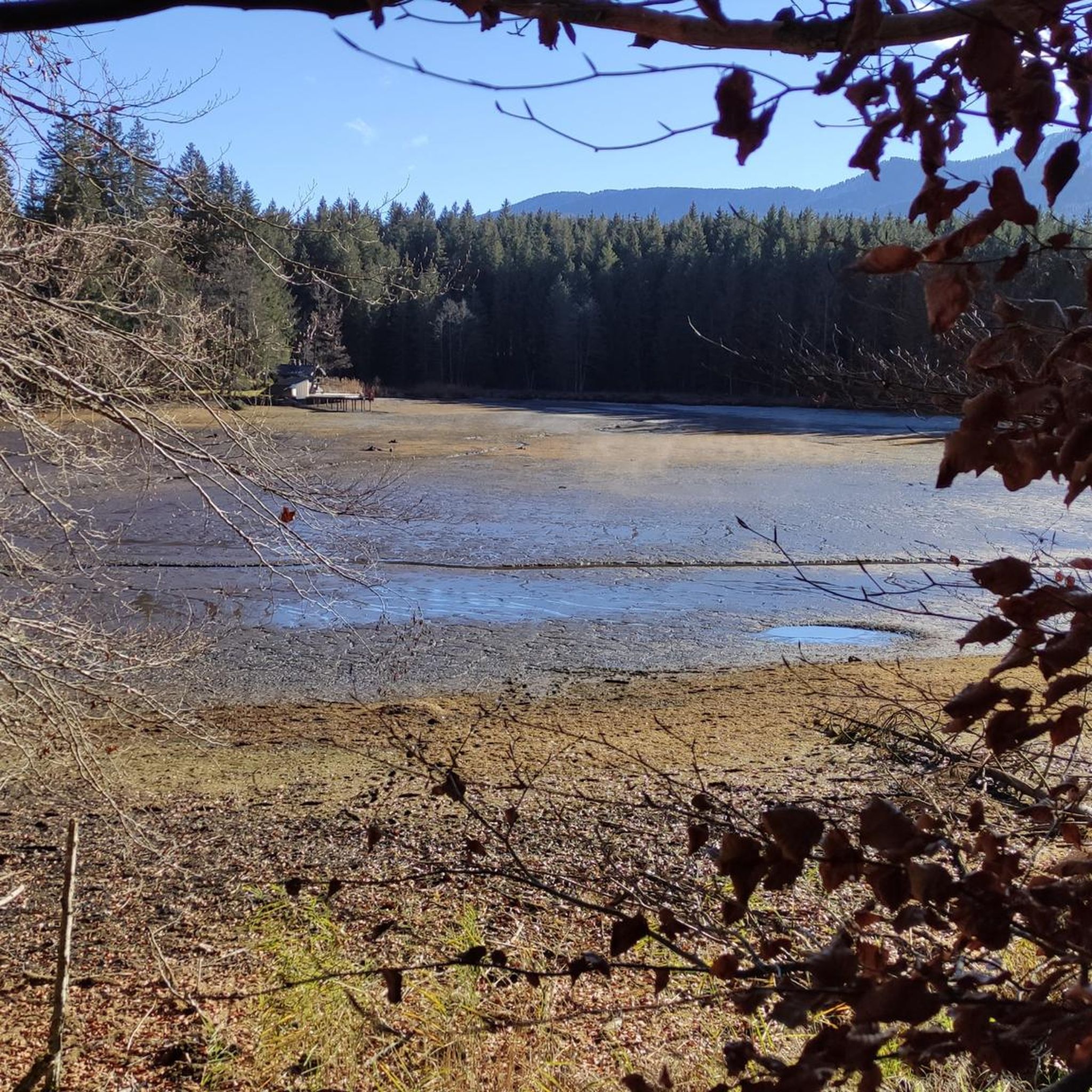
Along the routes, you can discover various points of interest. Highlights include the unique Brettleweg in the Wiesfilz moorland, the serene Oberer Lindegger Lake, and the historic Wieskirche. Many routes also lead to summit crosses offering panoramic views.
Are there any scenic viewpoints along the trails?
Yes, the region is known for its accessible summits and viewpoints. Many routes, like those leading to Wolfskopf or Niederbleick, offer rewarding vistas over the surrounding countryside. You can also find dedicated spots like the Bench on the Moor Trail at Moore um die Wies for scenic breaks.
What do other mountaineers enjoy most about Moore Um Die Wies?
The mountaineering routes in Moore Um Die Wies are highly rated by the komoot community, with an average score of 4.6 stars from over 60 reviews. Users frequently praise the varied terrain, the rewarding summit views, and the well-maintained paths through forested hills and open sections.
Do I need any special permits for mountaineering in this region?
No, you typically do not need special permits for general mountaineering activities on the established routes in Moore Um Die Wies. However, always respect local regulations and private property signs.
Are there any routes that follow river valleys?
Yes, the landscape of Moore Um Die Wies is characterized by forested hills and river valleys. Routes like High above the Ammer River – Wooden bridge over the Ammer loop from Ammerschlucht im Bereich des Scheibum offer opportunities to explore these scenic riverine environments.
Where can I find parking for the mountaineering trails?
Parking is generally available at common starting points for the routes, such as Trauchgau or Unternogg. It's advisable to check specific route descriptions on komoot for detailed parking information near your chosen trailhead.
What should I wear or bring for mountaineering in Moore Um Die Wies?
Given the varied terrain and potential for changing weather, it's recommended to wear sturdy hiking boots, layered clothing, and bring rain gear. Always carry sufficient water, snacks, a map or GPS device, and a first-aid kit. Even on moderate routes, proper preparation is key.
Most popular routes in Moore Um Die Wies
Most popular attractions in Moore Um Die Wies

Get inspired with the komoot mobile app


Explore more
Browse the best Mountain Hikes & Routes in other regions.
