Westlicher Staffelsee Mit Angrenzenden Mooren
Westlicher Staffelsee Mit Angrenzenden Mooren
The best mountain hikes in Westlicher Staffelsee Mit Angrenzenden Mooren
4.7
(648)
6,864
hikers
42
hikes
Mountaineering in Westlicher Staffelsee Mit Angrenzenden Mooren offers a diverse landscape characterized by the Staffelsee lake, surrounding moors, and the foothills of the Ammergau Alps. The region features varied terrain, including forested slopes, open alpine pastures, and distinct mountain summits like the Hinteres Hörnle. Elevation gains are significant on many routes, providing challenging ascents and panoramic views.
Best mountaineering routes in Westlicher Staffelsee Mit Angrenzenden Mooren
- The most popular mountaineering route is Hinteres Hörnle Summit – Stierkopf loop from Grafenaschau…
Last updated: July 1, 2026
4.2
(5)
66
hikers
Hard mountaineering route. Very good fitness required. Mostly accessible paths. Sure-footedness required.
5.0
(1)
30
hikers
9.93km
04:57
840m
840m
Moderate mountaineering route. Good fitness required. Mostly accessible paths. Sure-footedness required.

Sign up for free
4.5
(2)
14
hikers
15.7km
06:32
980m
980m
Hard mountaineering route. Very good fitness required. Mostly accessible paths. Sure-footedness required.
4.5
(2)
16
hikers
13.9km
05:27
780m
780m
Hard mountaineering route. Very good fitness required. Mostly accessible paths. Sure-footedness required.
4.7
(37)
388
hikers
7.39km
03:17
530m
530m
Moderate mountaineering route. Good fitness required. Mostly accessible paths. Sure-footedness required.
Get access to more routes and recommendations from other explorers.
Sign up for free
Already have an account?
Our route recommendations are based on thousands of hikes, rides, and runs completed by other people on komoot.
Start today with a free account
Your next adventure awaits.
Login or Signup
Popular around Westlicher Staffelsee Mit Angrenzenden Mooren
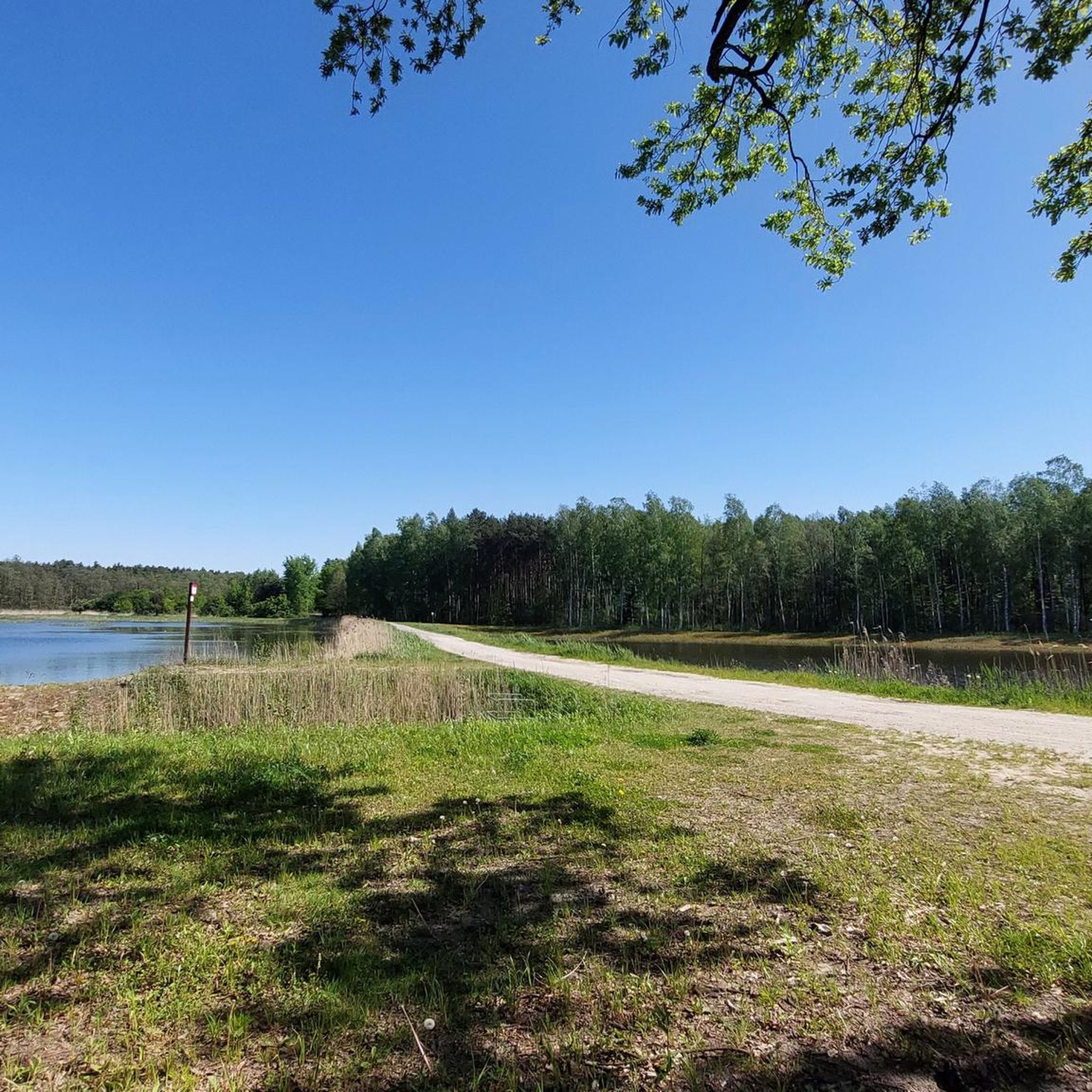
Gravel biking in Westlicher Staffelsee Mit Angrenzenden Mooren
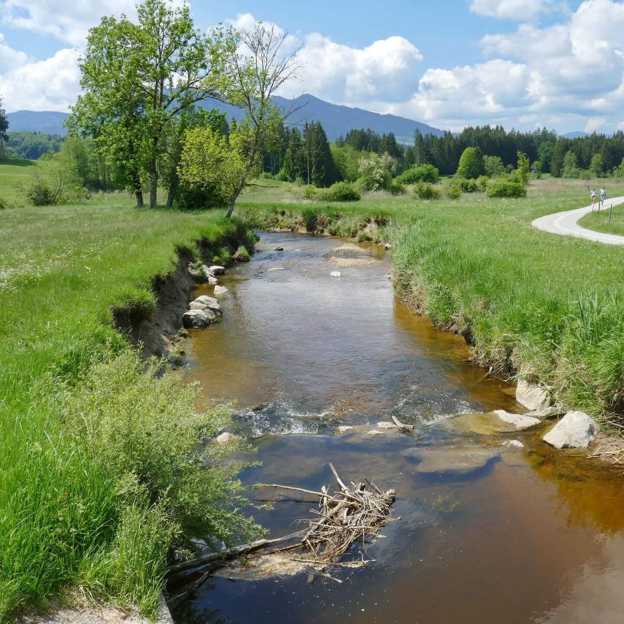
Cycling in Westlicher Staffelsee Mit Angrenzenden Mooren
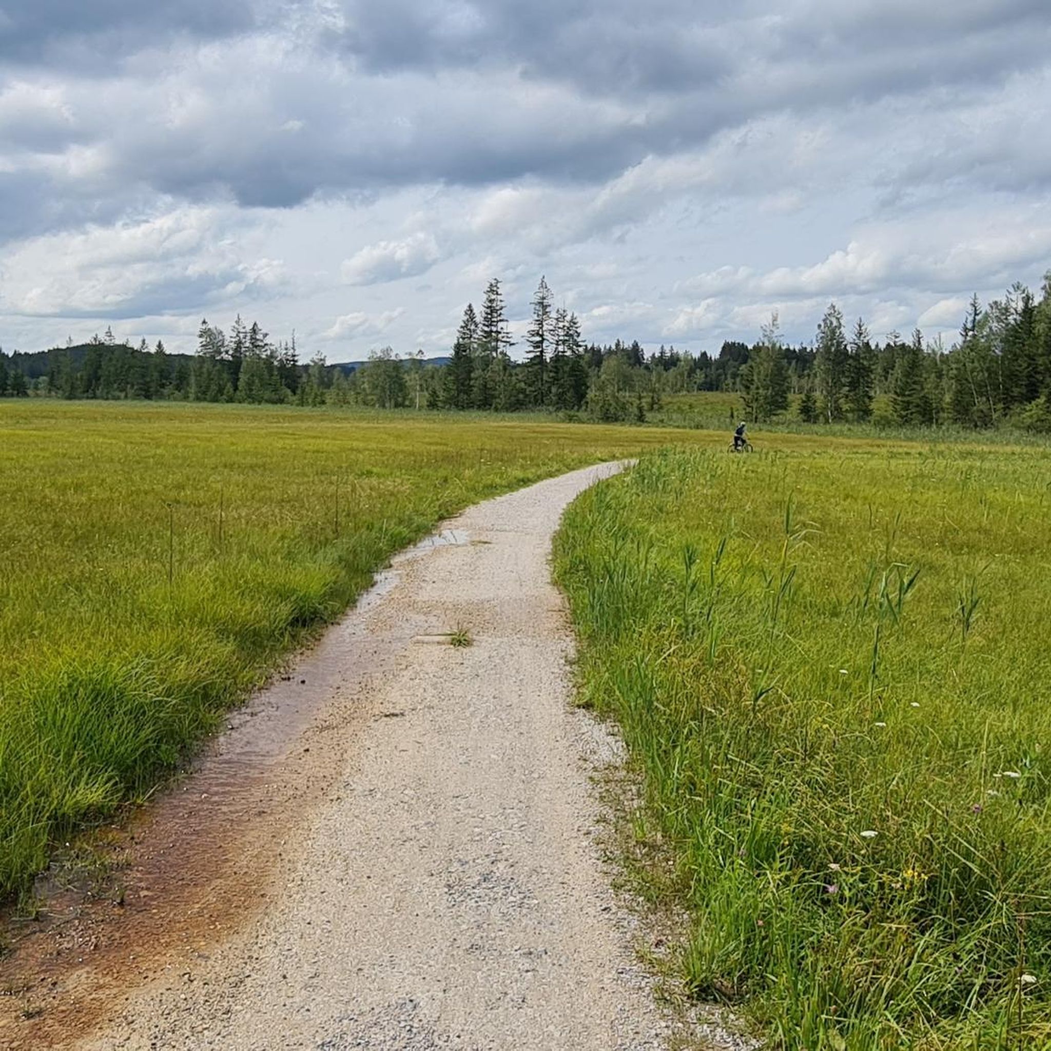
Hiking in Westlicher Staffelsee Mit Angrenzenden Mooren
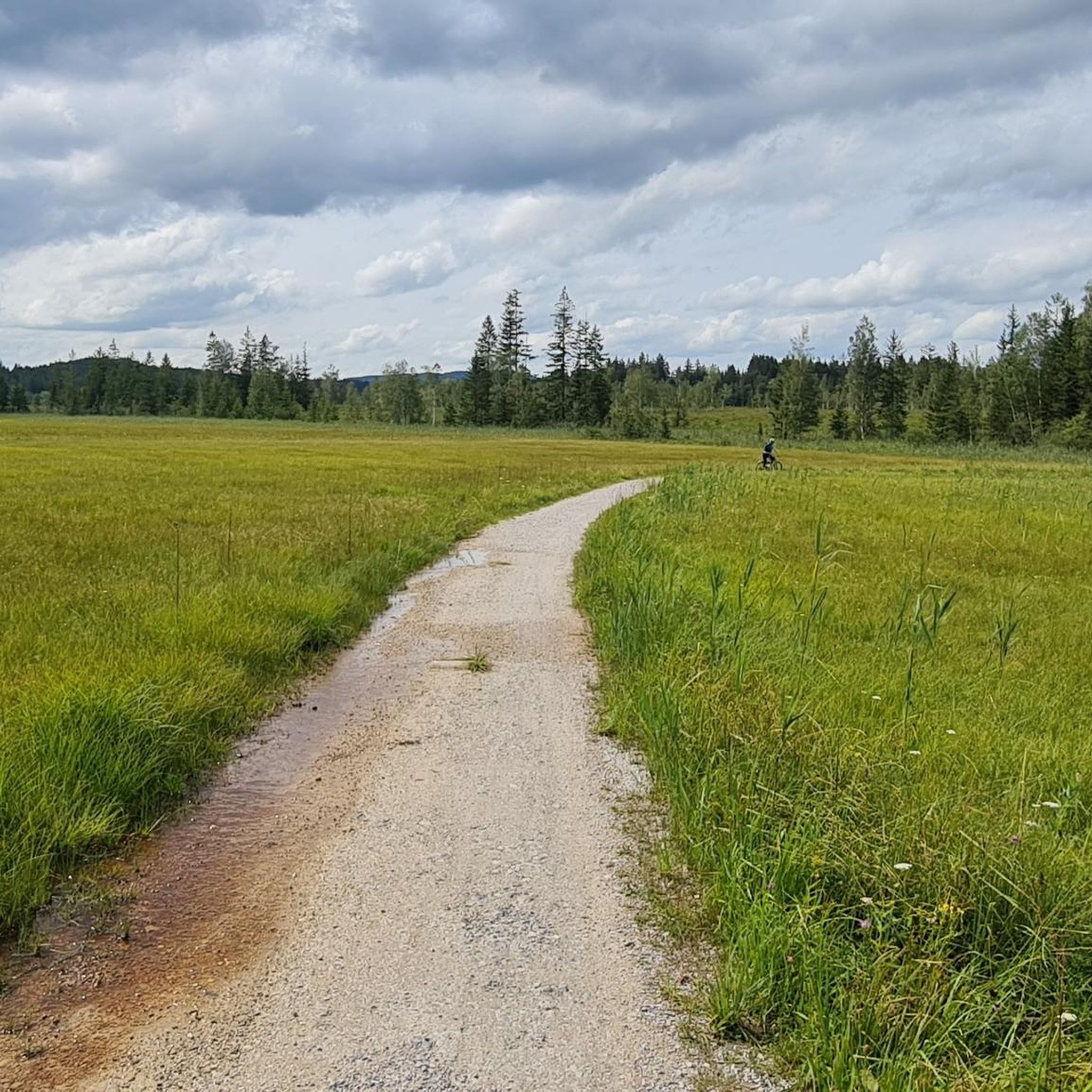
MTB Trails in Westlicher Staffelsee Mit Angrenzenden Mooren
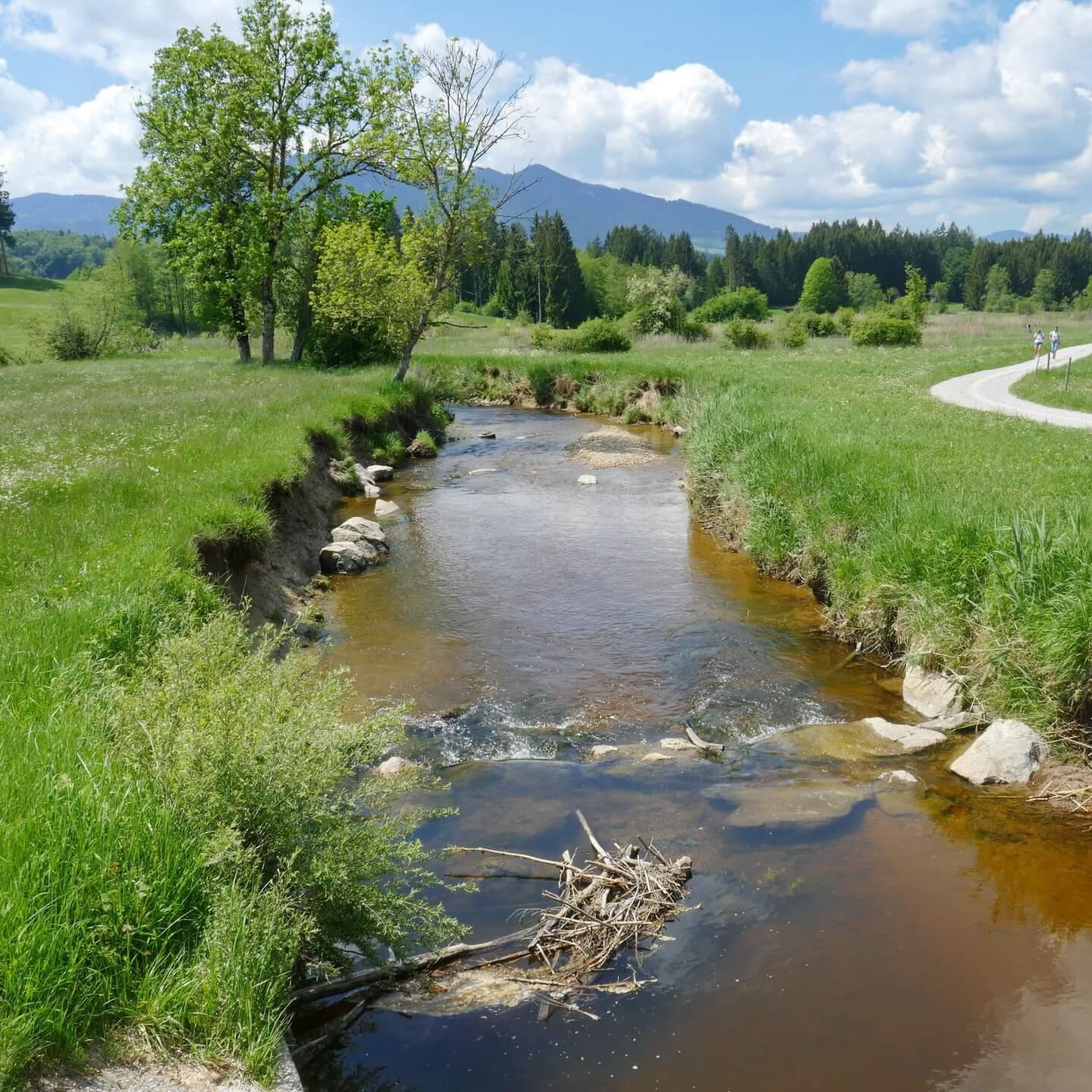
Road Cycling Routes in Westlicher Staffelsee Mit Angrenzenden Mooren
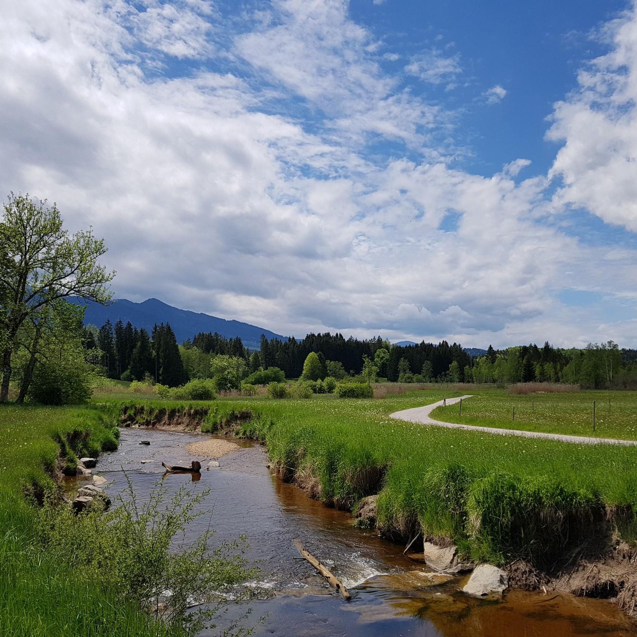
Running Trails in Westlicher Staffelsee Mit Angrenzenden Mooren
Tips from the Community

The Hörnlealm is located at 1,431 meters in the Ammergau Alps between the Vorderes Hörnle and Hinteres Hörnle. The restaurant offers typical alpine pasture food and drinks, including meals. Special highlights include homemade cottage cheese, buttermilk, and a daily homemade cake. The pasture is a 20-minute walk from the Hörnle cable car mountain station and a 1.5-hour walk from the Chapel Church in Unterammergau. (https://www.ammergauer-alpen.de/poi/hoernle-alm )
0
0

Nice little watering hole :)
0
0
The family-friendly Hörnlealm is a snack station and is located on the southern slope of the Mittlerer Hörnle in the Bavarian Ammergau Alps
0
0

Fantastic view of Lake Ammersee, Lake Starnberg, Lake Staffelsee and Lake Riegsee.
0
1
Wonderful up here. Great view of the mountains
1
1

Normal hiking equipment is sufficient
2
0

If the fog isn't wafting around...
1
0
Frequently Asked Questions
How many mountaineering routes are available in Westlicher Staffelsee Mit Angrenzenden Mooren?
There are over 40 distinct mountaineering routes in Westlicher Staffelsee Mit Angrenzenden Mooren, offering a wide range of experiences from moderate paths to challenging ascents.
Are there easy mountaineering routes suitable for beginners?
While many routes feature significant elevation gain, there is at least one easy mountaineering route available. For those looking for a moderate challenge, there are 23 moderate routes, such as the Hinteres Hörnle Summit – View of the Ammergau Alps loop from Grafenaschau, which offers scenic vistas without extreme difficulty.
What are the most challenging mountaineering routes in the region?
For experienced mountaineers seeking a challenge, there are 20 difficult routes. An example is the Hinteres Hörnle Summit – Stierkopf loop from Bad Kohlgrub, which covers 13.7 km with over 800 meters of elevation gain, typically taking around 5 hours 22 minutes.
Are there circular mountaineering routes in Westlicher Staffelsee Mit Angrenzenden Mooren?
Yes, many of the mountaineering routes in the region are designed as loops, allowing you to start and finish at the same point. For instance, the Hinteres Hörnle Summit – Hörnle Alm loop from Bad Kohlgrub is a challenging 13.9 km circular route.
What natural attractions can I see along the mountaineering routes?
The region is rich in natural beauty. You can explore the unique Western Staffelsee and Adjacent Moorland Nature Reserve, or enjoy views of Lake Staffelsee. The routes often traverse forested slopes and open alpine pastures, offering diverse landscapes.
Are there any interesting landmarks or points of interest near the trails?
Beyond the natural landscapes, you might encounter points of interest such as the South Shore Trail at Lake Staffelsee, or the Wooden Bridge Over the Ach, which add to the scenic experience.
When is the best time of year for mountaineering in this area?
The best time for mountaineering in Westlicher Staffelsee Mit Angrenzenden Mooren is typically from late spring to early autumn (May to October), when the weather is generally stable and trails are clear of snow. Always check local weather conditions before heading out.
What do other mountaineers say about the routes in Westlicher Staffelsee Mit Angrenzenden Mooren?
The mountaineering routes in this region are highly rated by the komoot community, with an average score of 4.7 stars from over 640 reviews. Users frequently praise the diverse terrain, panoramic summit views, and the combination of lake and moorland scenery.
Can I bring my dog on the mountaineering trails?
Many trails in the Westlicher Staffelsee Mit Angrenzenden Mooren region are dog-friendly, but it's always advisable to check specific route details for any restrictions, especially in nature reserves or near grazing animals. Keep your dog on a leash where required and ensure they are fit for the terrain.
Are there less crowded mountaineering trails available?
While popular routes like those around Hinteres Hörnle can see visitors, the region offers 44 routes in total. Exploring some of the less-trafficked paths, particularly on weekdays or outside peak season, can provide a more solitary experience. Check individual tour details for community popularity indicators.
Are there options for public transport to reach the trailheads?
The region around Westlicher Staffelsee Mit Angrenzenden Mooren is generally accessible by public transport, particularly to towns like Grafenaschau or Bad Kohlgrub, which serve as starting points for many routes. It's recommended to check local bus or train schedules to plan your journey to specific trailheads.
Are there cafes or pubs near the mountaineering routes?
Yes, you can often find traditional Bavarian guesthouses (Gasthäuser) or mountain huts (Almen) near or along some routes, especially around popular areas like the Hörnle Alm. These offer opportunities for refreshments and local cuisine after your hike.
Most popular routes in Westlicher Staffelsee Mit Angrenzenden Mooren
Most popular attractions in Westlicher Staffelsee Mit Angrenzenden Mooren

Get inspired with the komoot mobile app


Explore more
Browse the best Mountain Hikes & Routes in other regions.
