The best road cycling routes in Donntal - Lange Steige
4.5
(211)
2,482
riders
77
rides
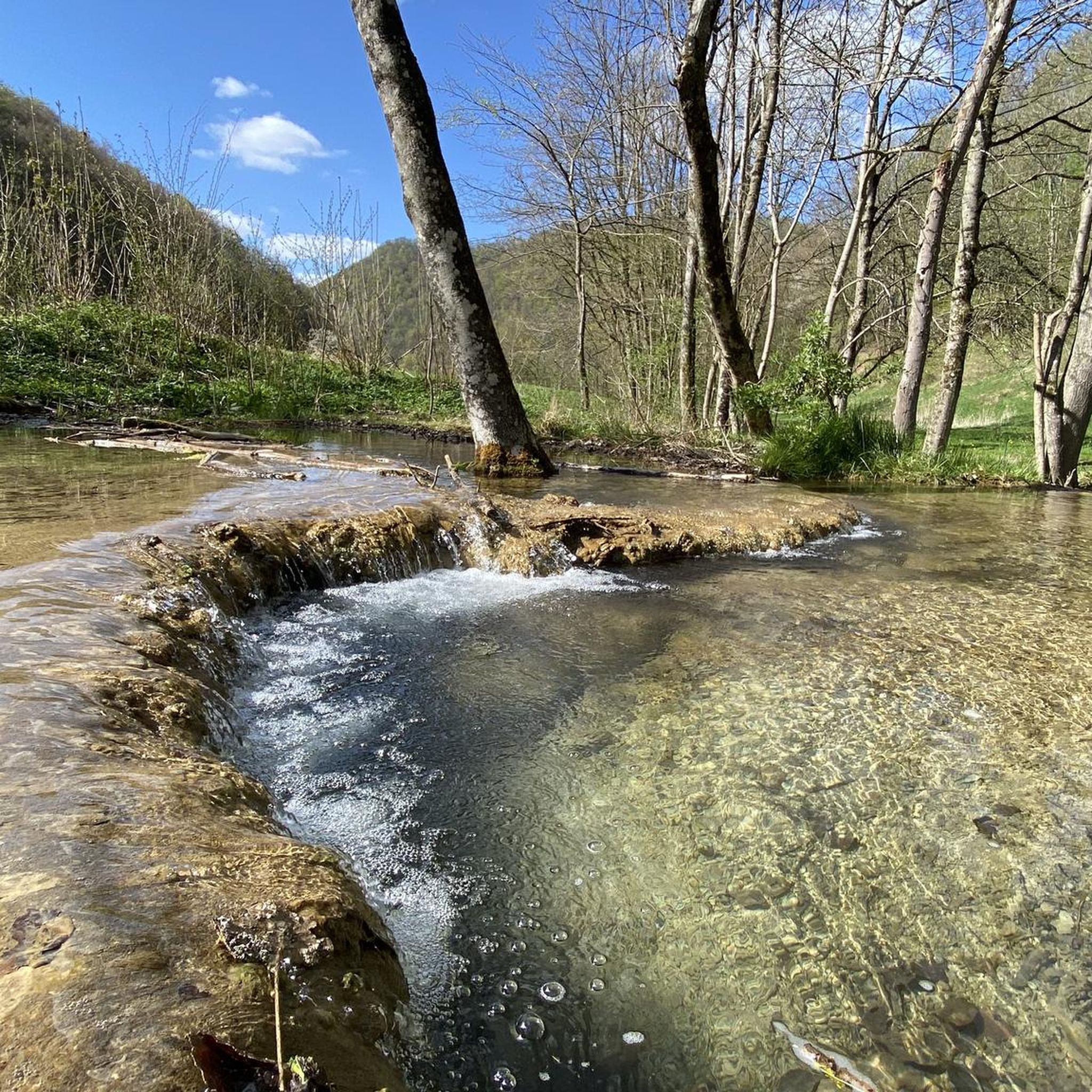
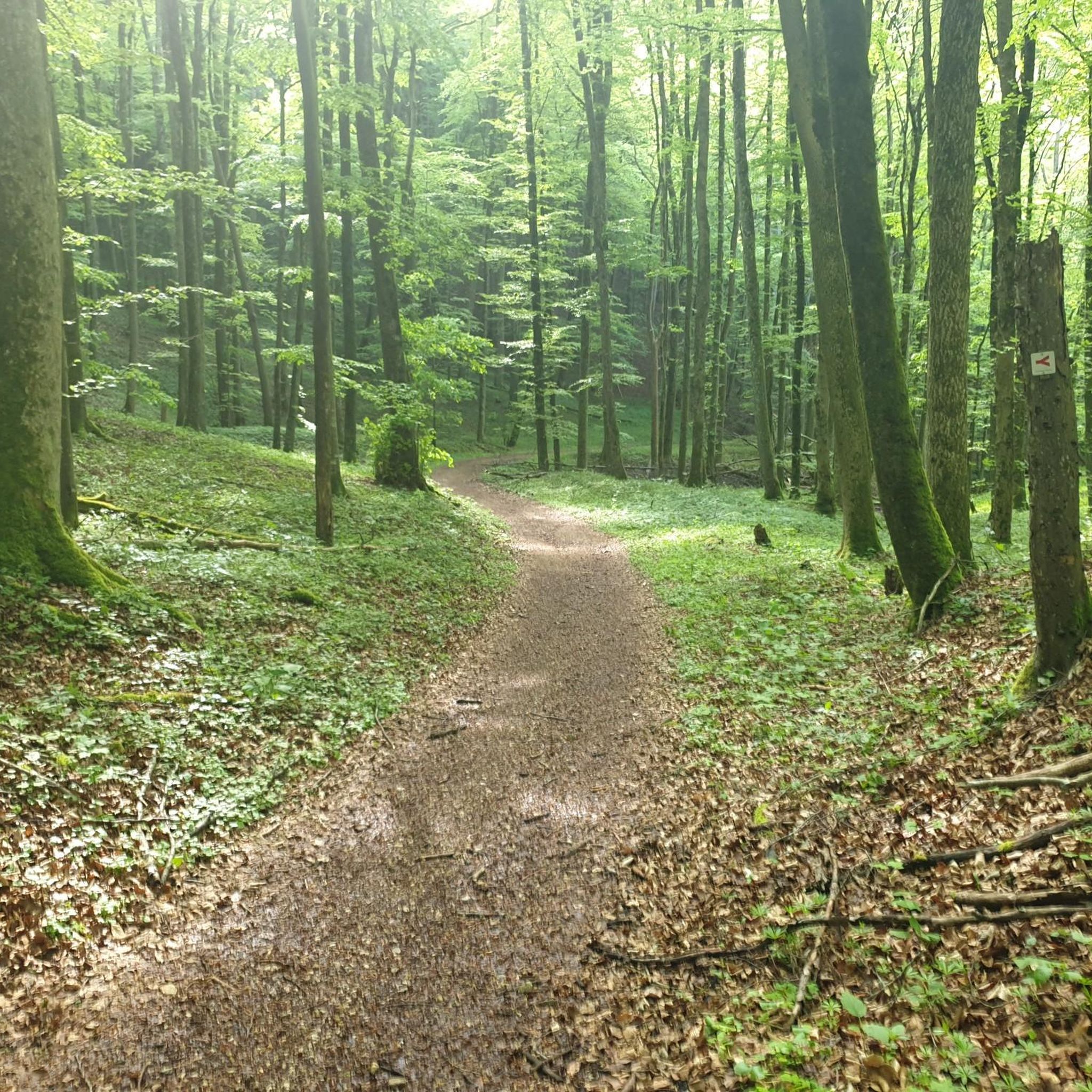
Road cycling in Donntal - Lange Steige offers routes through lush valleys, dense forests, and blooming meadows within the Swabian Alb. The region is characterized by the Albtrauf, a steep escarpment that provides varied topography with ascents and descents. Cyclists can navigate well-maintained paths that combine scenic beauty with physical challenge.
Best road cycling routes in Donntal - Lange Steige
- The most popular road cycling route is Cycle Path Along B 28 – Laichingen Market Square loop from Gutenberg,…
Last updated: July 8, 2026
4
riders
Moderate road ride. Good fitness required. Mostly well-paved surfaces and easy to ride.
5
riders
Moderate road ride. Good fitness required. Mostly well-paved surfaces and easy to ride.

Sign up for free
3.0
(1)
15
riders
33.3km
01:35
380m
380m
Moderate road ride. Good fitness required. Mostly well-paved surfaces and easy to ride.
6
riders
59.6km
02:52
760m
760m
Moderate road ride. Good fitness required. Mostly well-paved surfaces and easy to ride.
7
riders
18.8km
01:09
490m
480m
Moderate road ride. Good fitness required. Some segments of this route may be unpaved and difficult to ride.
Get access to more routes and recommendations from other explorers.
Sign up for free
Already have an account?
Our route recommendations are based on thousands of hikes, rides, and runs completed by other people on komoot.
Start today with a free account
Your next adventure awaits.
Login or Signup


Tips from the Community

In spring, with blooming meadows, it's a poem.
1
0

Built in the 15th century as a single-nave church with a small tower choir. Bell from 1489; extension in 1825, crucifix from the pre-Reformation period, altar grille and pulpit paintings from the Baroque period around 1700, gallery paintings, epitaph from the 17th century, Gruol organ from 1844.
6
0

Currently closed again (construction work at the St. Johann intersection), so the climb to St. Johann is also closed. Construction phase 1 is scheduled to end in December 2025. Construction phase 2 is planned for summer 2026.
0
0


Beautiful route far away from any traffic, suitable for racing bikes
0
0

Good asphalt. But I prefer to drive down it because of the many cars.
0
0

Great view from the trail on the Hardtberg down to Seeburg, including a seating area for a breather, because in summer and when the sun is shining mercilessly on the trail 😊
0
0

From the mountain slope above the Erms you have a wonderful view of Seeburg and the Uhlenfels hunting lodge.
1
0
Frequently Asked Questions
How many road cycling routes are available in Donntal - Lange Steige?
Donntal - Lange Steige offers a wide selection of road cycling routes, with over 70 tours available. These routes cater to various skill levels, ensuring there's something for everyone.
What kind of terrain can I expect when road cycling in Donntal - Lange Steige?
The region is characterized by its diverse topography, including lush valleys, dense forests, and blooming meadows. You'll encounter the Albtrauf, the steep escarpment of the Swabian Alb, which means routes often feature a mix of moderate climbs and rewarding descents, providing both scenic beauty and physical challenge.
What is the overall difficulty level of road cycling in Donntal - Lange Steige?
Road cycling in Donntal - Lange Steige offers a good mix of difficulties. There are around 10 easy routes, nearly 50 moderate routes, and about 20 difficult routes, ensuring options for all experience levels.
Are there any circular road cycling routes in the Donntal - Lange Steige region?
Yes, many of the road cycling routes in Donntal - Lange Steige are designed as loops. For example, the Cycle Path Along B 28 – Laichingen Market Square loop from Gutenberg is a popular circular route featuring moderate climbs through varied landscapes.
What natural features can I see while road cycling in Donntal - Lange Steige?
The region is rich in natural beauty. You can cycle Along the Donntalbach, explore the Lange Steige Gorge, or pass through the protected Donntal Nature Reserve and Bannwald Donntal, which are part of the Biosphere Reserve Swabian Alb.
Are there any historical landmarks or points of interest along the road cycling routes?
Yes, you can encounter historical sites such as the Sperberseck Castle Ruins, dating back to the Staufer period around 1200, which offer panoramic views of the surrounding landscape.
What do other road cyclists enjoy most about cycling in Donntal - Lange Steige?
The area is highly rated by the komoot community, with an average score of 4.6 stars from over 190 reviews. Cyclists often praise the varied terrain, the scenic beauty of the valleys and forests, and the well-maintained paths that offer both challenge and tranquility.
Are there any routes with significant elevation gain for advanced cyclists?
Yes, for advanced cyclists seeking a challenge, routes like the Abandoned Village of Gruorn – Great view of Seeburg loop from Römerstein offer substantial elevation gain, with over 750 meters of ascent, characteristic of the Albtrauf escarpment.
Can I find routes that offer panoramic views?
Absolutely. The Albtrauf escarpment provides numerous opportunities for stunning vistas. Routes such as the Gutenberg Steige – Gutenberger Steige loop from Oberes Lenninger Tal mit Seitentälern include ascents and descents that open up to panoramic views of the surrounding Swabian Alb.
Are there any less crowded road cycling alternatives in the Donntal - Lange Steige area?
While specific 'less crowded' routes are not explicitly listed, the region's extensive network of over 70 routes means you can often find quieter paths away from the most popular trails. Exploring some of the moderate or difficult routes might lead you to more secluded sections of the landscape.
What is a good route for a moderate road cycling experience?
A great option for a moderate road cycling experience is the Cycle Path Along B 28 – Zaininger Pond loop from Römerstein. This 33.3 km trail leads through valleys and past natural features, typically completed in about 1 hour 34 minutes, offering a balanced ride.
Most popular routes in Donntal - Lange Steige
Most popular attractions in Donntal - Lange Steige

Get inspired with the komoot mobile app


Explore more
Browse the best Road cycling routes in other regions.
