The best mountain hikes in Rufsteinhänge Und Umgebung
5.0
(2)
13
hikers
3
hikes
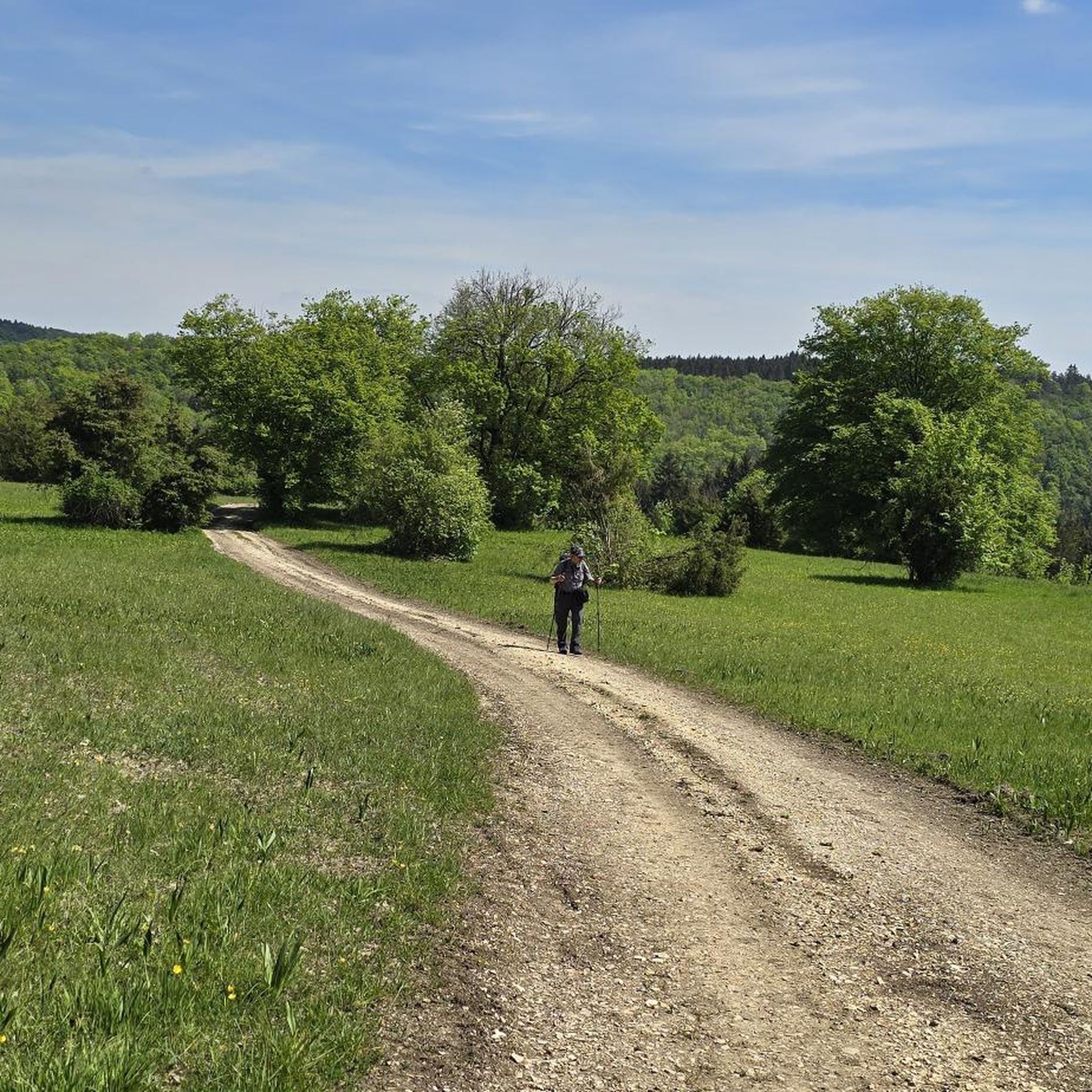
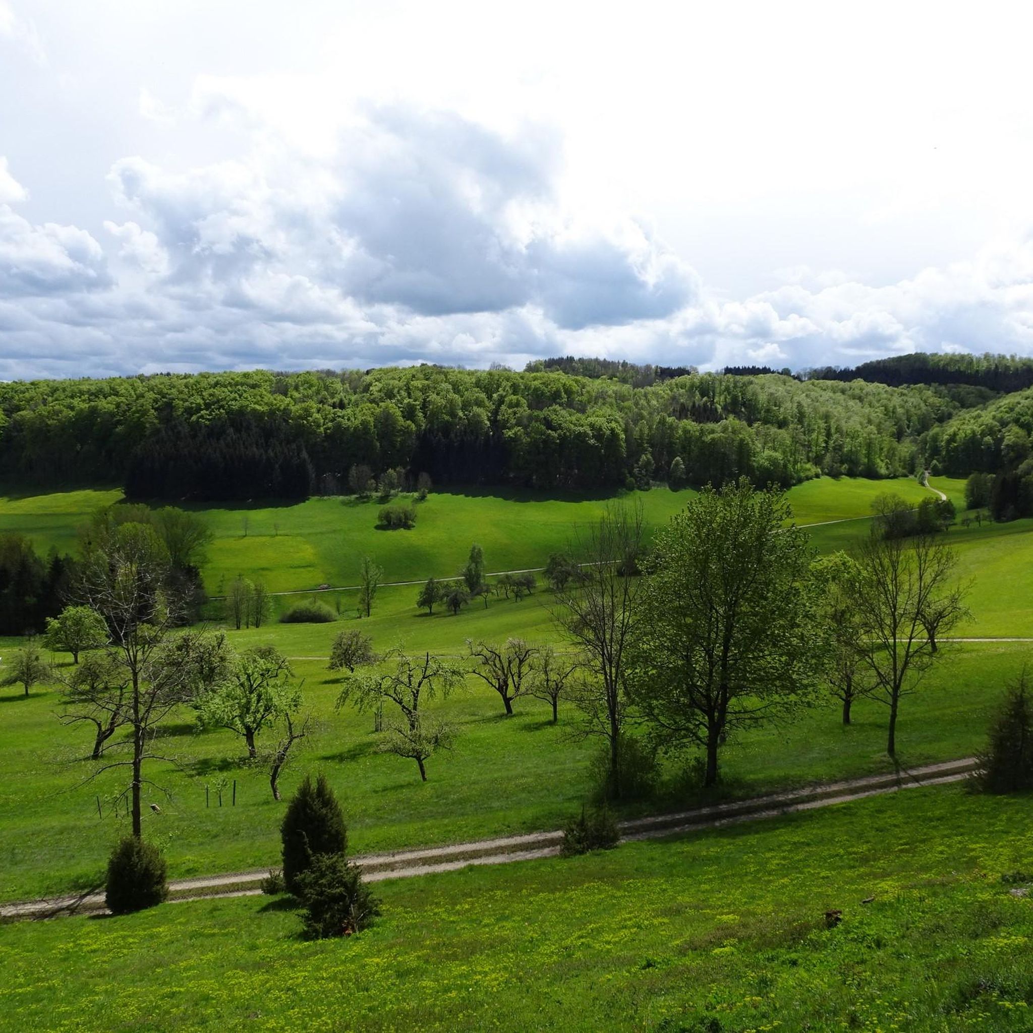
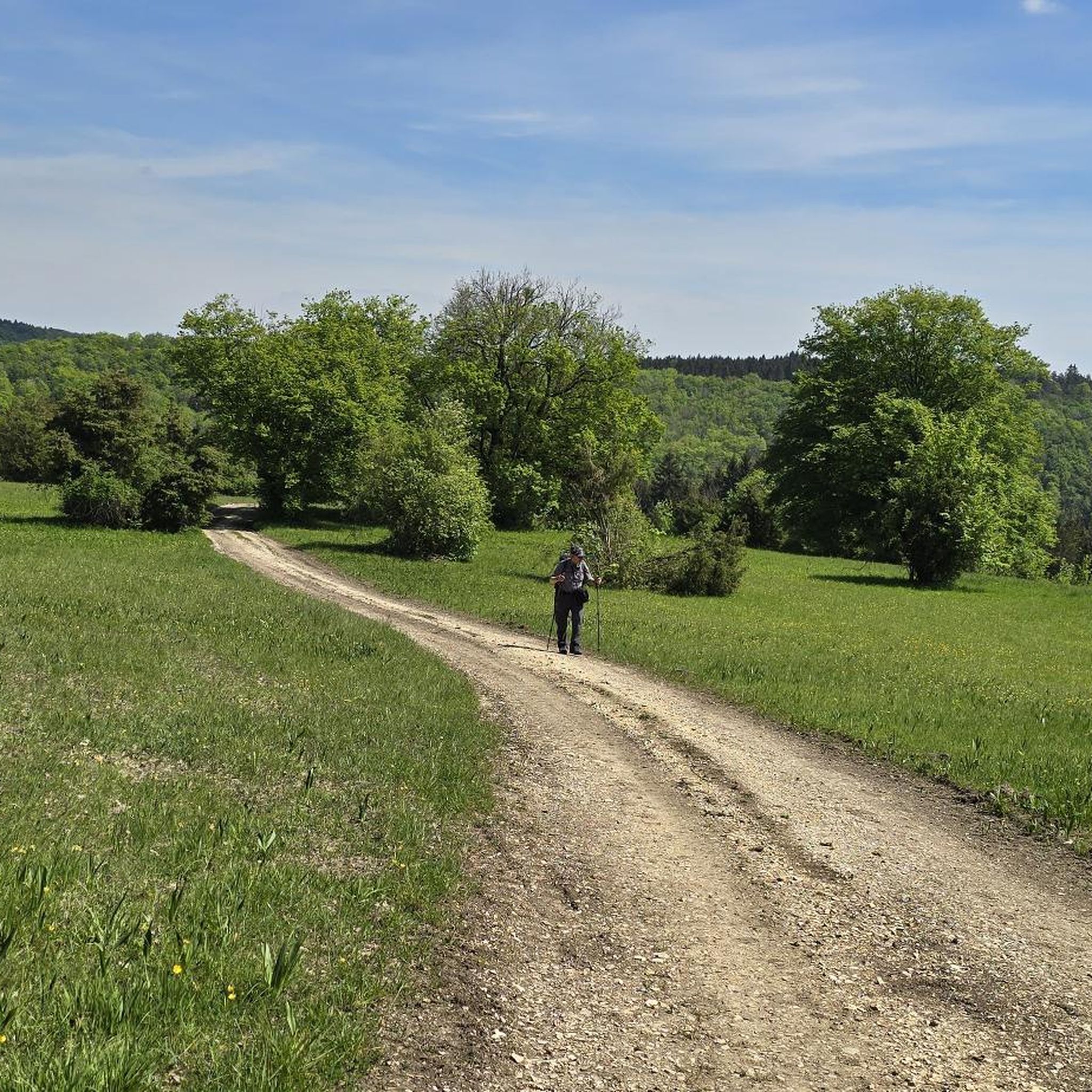
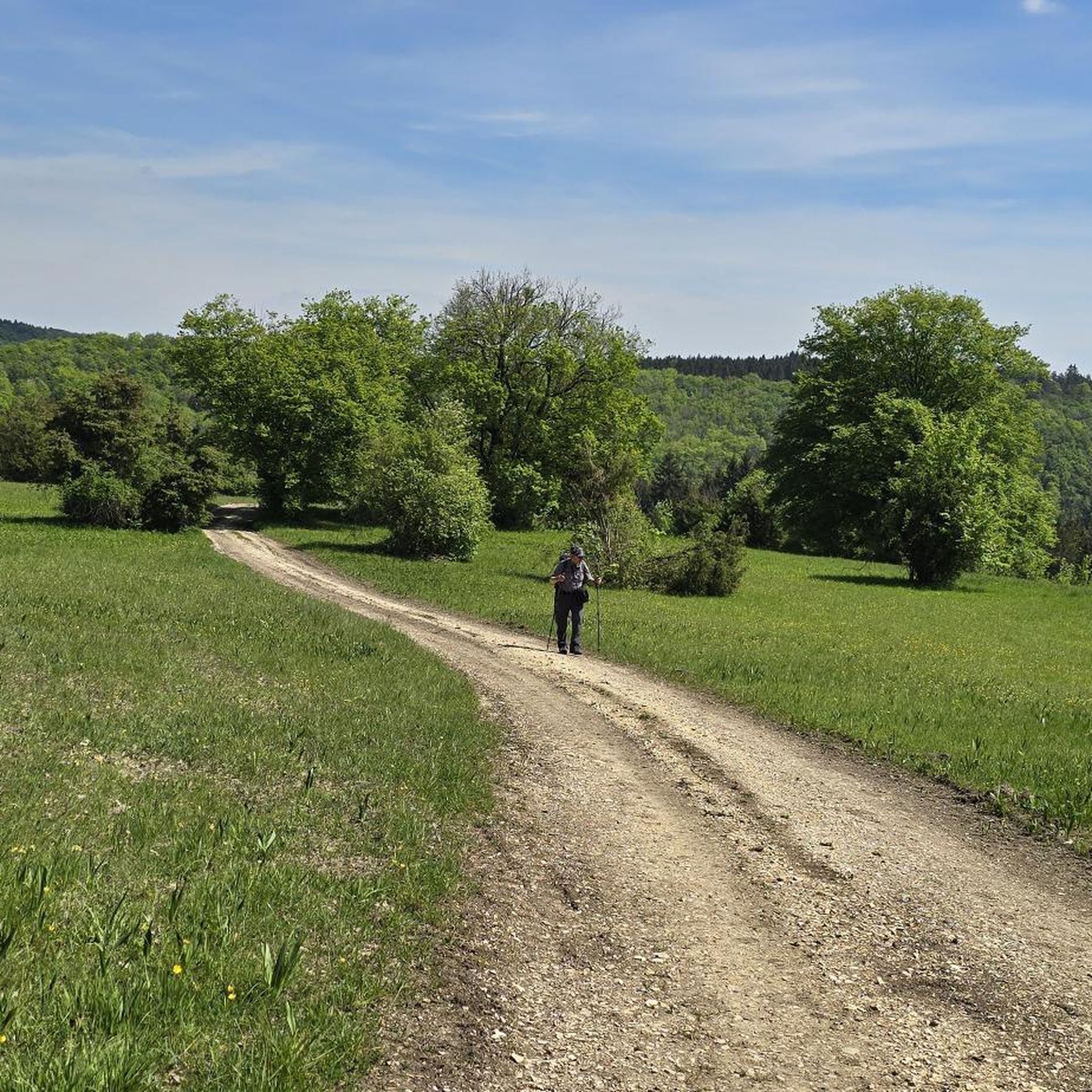
Mountaineering in Rufsteinhänge Und Umgebung offers challenging mountain routes and hikes within a diverse and picturesque Swabian Alb landscape. The region is characterized by distinctive juniper heaths, species-rich calcareous grasslands, and orchid-beech forests. Notable features include viewpoints like Rufsteinfels, which provides expansive views over the Filstal valley, and varied trails with significant elevation changes. This nature reserve provides a protected habitat and a rich environment for active recreation.
Best mountaineering routes in Rufsteinhänge Und Umgebung
- The most popular mountaineering route…
Last updated: July 2, 2026
3
hikers
Moderate mountaineering route. Good fitness required. Easily-accessible paths. Suitable for all skill levels.
5.0
(1)
3
hikers
9.83km
02:45
200m
200m
Moderate mountaineering route. Good fitness required. Easily-accessible paths. Suitable for all skill levels.

Sign up for free
5.0
(1)
1
hikers
11.8km
03:22
260m
260m
Moderate mountaineering route. Good fitness required. Easily-accessible paths. Suitable for all skill levels.
2
hikers
Moderate mountaineering route. Good fitness required. Mostly accessible paths. Sure-footedness required.
4
hikers
14.6km
04:27
470m
470m
Moderate mountaineering route. Good fitness required. Easily-accessible paths. Suitable for all skill levels.
Our route recommendations are based on thousands of hikes, rides, and runs completed by other people on komoot.
Start today with a free account
Your next adventure awaits.
Login or Signup
Tips from the Community

The Traufweg trail at the Michelberg always runs along the edge of the Tafelberg. Those who are not afraid of heights can repeatedly enjoy deep views from the battlements of the Hausener Wand into the valley.
1
0

Fortunately not. Imagine if there were signs and railings at all the dangerous spots on the Alb. Then not much would be left of the Alb. Recently, near Bad Urach, I was alerted by a sign that there are forest dangers in the woods. Very disturbing.
0
0

Small bridge with a little bench
0
0
Super beautiful singletrack to the Hausener Wand
1
0
Always be careful not to step too close to the edge! There are neither railings nor warning signs, just a steep drop...
0
0

The Boßler is a prominent mountain in the Swabian Alps near Gruibingen, rising to 794.7 meters above sea level. From its vantage point on the edge of the Alb plateau, a sweeping view opens up across the Alb foothills – on a clear day, this extends far to the west. A large memorial cross also stands here, commemorating several tragic aircraft crashes that have occurred in the region since the 1940s.
4
0


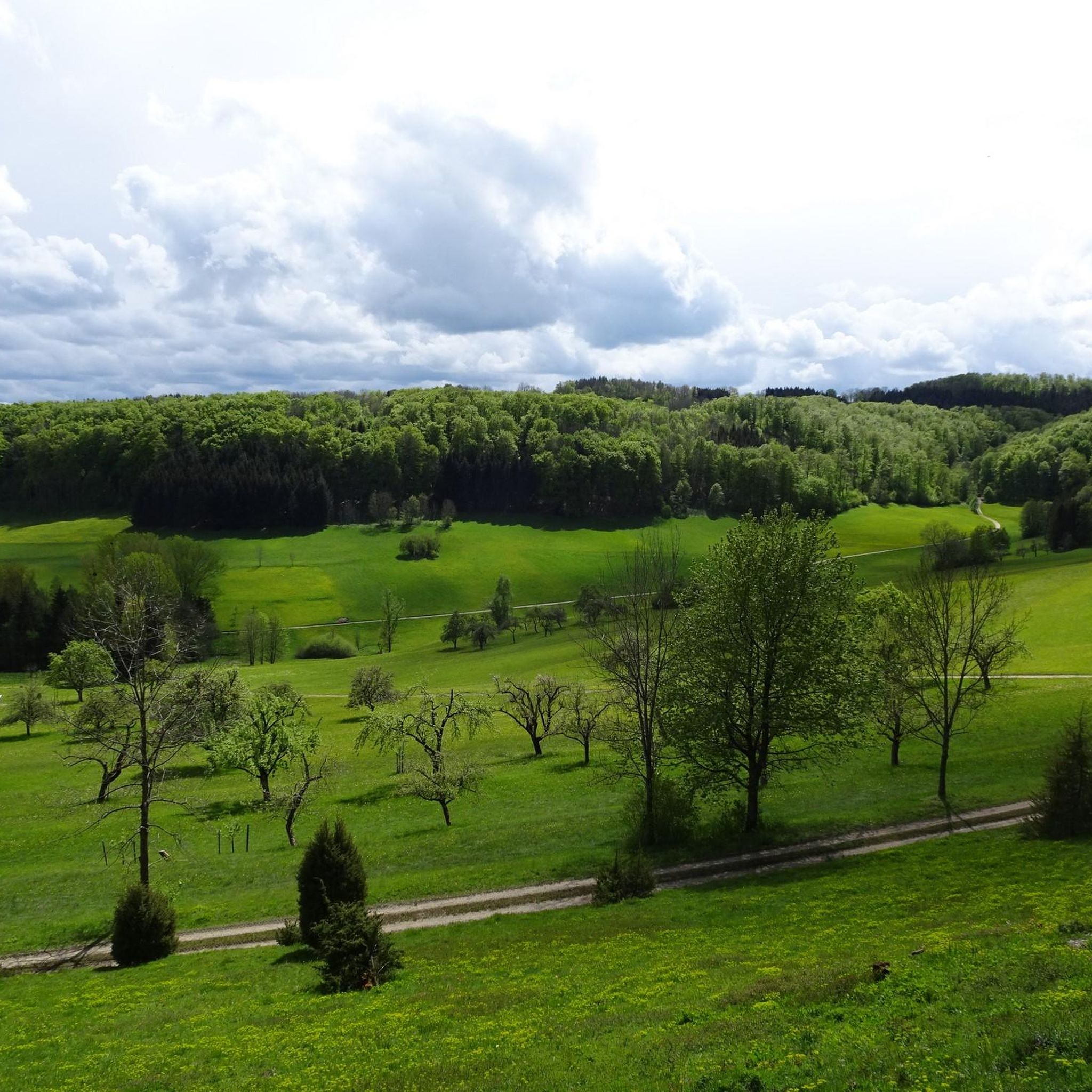
A beautiful valley that slopes gently downhill from Schopfloch. The route to Schopfloch continues with a steady climb of 2-4 percent.
0
0
Frequently Asked Questions
What types of mountaineering routes can I find in Rufsteinhänge Und Umgebung?
Rufsteinhänge Und Umgebung offers a variety of mountaineering routes, ranging from moderate to difficult. The landscape is characterized by significant elevation changes, diverse terrain, and scenic views, providing a challenging and rewarding experience for mountaineers. You'll find paths through juniper heaths, calcareous grasslands, and orchid-beech forests.
Are there any easy mountaineering routes for beginners in Rufsteinhänge Und Umgebung?
While the region is known for its challenging mountain tours, there are routes suitable for those looking for a moderate experience. For example, the Boßler – Bürg loop from Kurzer Wasen - Roter Wasen is a moderate 6.3 km trail that offers varied terrain without being overly strenuous.
What are some notable natural features or viewpoints to see along the routes?
The region is rich in natural beauty. You can visit the Rufsteinfels Viewpoint, which offers expansive views over the Filstal valley. Another interesting spot is the Schlagstüble Cave, a small niche cave directly on a path towards Gruibingen. The Heath on the Upper Leimberg is also a natural monument known for its rare flowers, including wild orchids.
Are the mountaineering routes in Rufsteinhänge Und Umgebung typically circular?
Yes, many of the mountaineering routes in Rufsteinhänge Und Umgebung are designed as loops, allowing you to start and end at the same point. Examples include the Source of the Fils – View of Neidlingen Valley loop from Wiesensteig and the Source of the Fils – Fils Spring loop from Westerheim.
What is the best time of year for mountaineering in this region?
Rufsteinhänge Und Umgebung offers a picturesque landscape that can be enjoyed across multiple seasons. While specific recommendations depend on personal preference and weather conditions, the diverse flora, including wild orchids, suggests spring and summer are particularly vibrant. Always check local weather forecasts before heading out, especially for mountaineering activities.
Are there any places to park near the mountaineering trailheads?
Yes, there are parking options available. For instance, the Kornbergsattel Car Park is a convenient spot that also serves as a resting point. It's advisable to check specific route descriptions for the most suitable parking locations for your chosen tour.
What do other mountaineers say about the routes in Rufsteinhänge Und Umgebung?
The area is highly rated by the komoot community, with an average score of 5.0 stars. Reviewers often praise the varied terrain, the expansive views, and the immersive experience in the Swabian Alb landscape. Many appreciate the quiet and pristine trails, making it an insider tip for nature lovers.
Can I find refreshments or amenities along the mountaineering routes?
While the region is primarily a nature reserve, you can find some amenities. The Nortel Airfield and Fliegerhaus, for example, offers refreshments and a unique spot to observe aviation activities amidst the natural landscape.
Are there any longer or more challenging mountaineering routes available?
For those seeking a more extended challenge, routes like the Hausener Cliff – Hausen Rocks loop from Bad Überkingen offer a substantial experience, covering nearly 15 km with significant elevation changes. These routes provide an immersive journey through the region's diverse terrain.
What kind of unique flora and fauna can I expect to see?
The nature reserve is known for its ecological value. You can expect to see distinctive juniper heaths, species-rich calcareous grasslands, and orchid-beech forests, home to various wild orchids. It also provides a protected habitat for rare species, including the colorful 'Spanish flag' moth and numerous birds and butterflies.
Are the trails in Rufsteinhänge Und Umgebung well-maintained and easy to navigate?
The region is known for its varied, quiet, and pristine trails. While specific conditions can vary, the trails generally offer a good experience for mountaineers. It's always recommended to use a reliable navigation tool like komoot to stay on track, especially on routes with significant elevation changes.
How long do mountaineering tours in Rufsteinhänge Und Umgebung typically take?
The duration of mountaineering tours varies depending on the route's length and difficulty. For example, a moderate route like the Boßler – Bürg loop from Kurzer Wasen - Roter Wasen can take around 2 hours, while longer routes such as the Auchtert – Mörikefels loop from Randecker Maar mit Zipfelbachschlucht might take closer to 2.5 hours or more, depending on your pace and stops.
Most popular routes in Rufsteinhänge Und Umgebung
Most popular attractions in Rufsteinhänge Und Umgebung

Get inspired with the komoot mobile app


Explore more
Browse the best Mountain Hikes & Routes in other regions.
