The best road cycling routes in Gundelfinger Moos
4.6
(280)
3,381
riders
259
rides
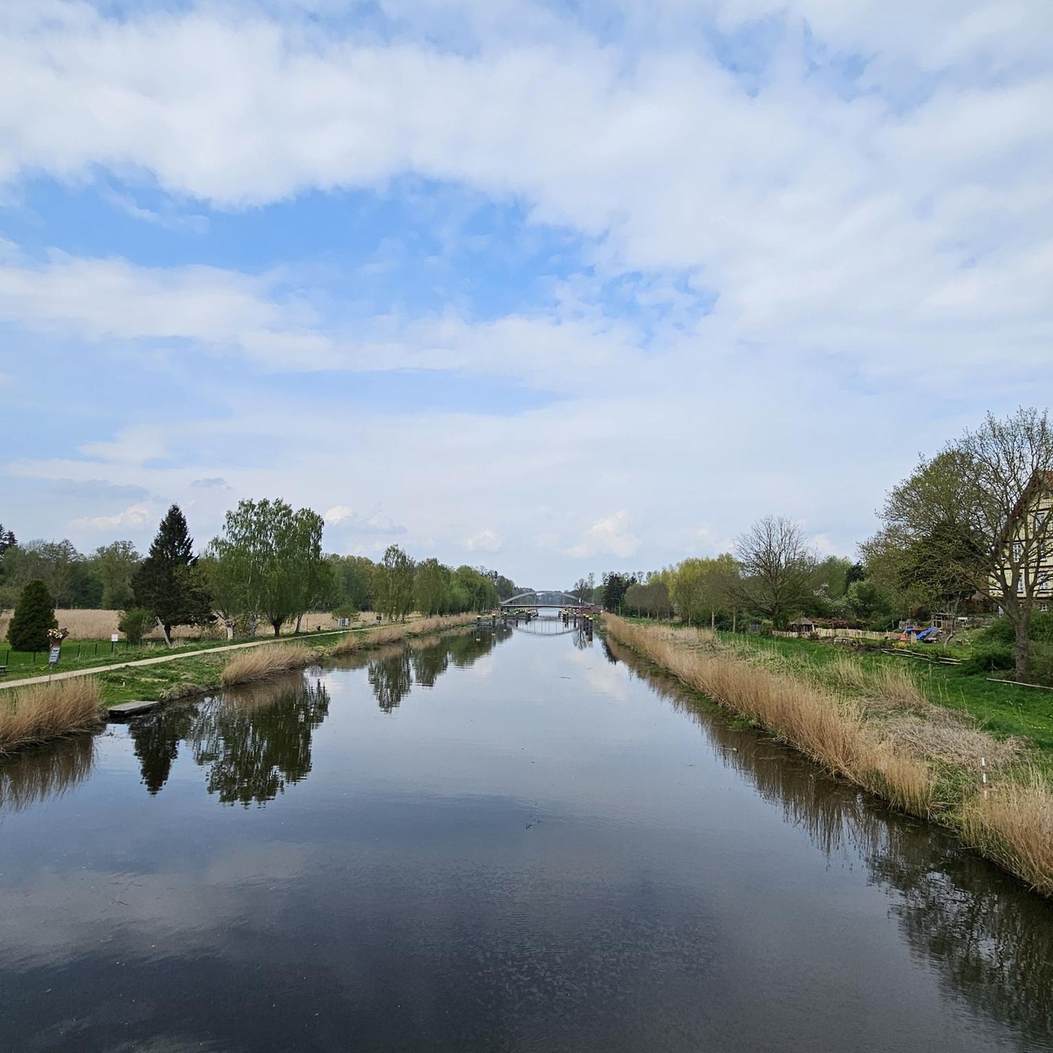
Road cycling routes in Gundelfinger Moos are primarily characterized by flat to gently rolling terrain, typical of a riverine landscape. The region is situated within the Danube river valley, featuring open agricultural fields, small villages, and stretches along the riverbanks. Elevation changes are generally minor, with most routes involving climbs under 200 meters, making it suitable for sustained road cycling.
Best road cycling routes in Gundelfinger Moos
- The most popular road cycling route is View of the Danube – Ulm Town Hall loop from Günzburg, a 33.9 miles (54.5 km) trail that takes 2 hours 13 minutes to complete. This moderate route offers views of the Danube and passes through urban areas.
- Another top favourite among local road cyclists is Schimmelturm, Lauingen – Danube Bridge Near Dillingen loop from Günzburg, a moderate 35.4 miles (57.0 km) path. This route features a mix of open landscapes and river crossings near Dillingen.
- Local road cyclists also love the View of Brenz Castle – Ulm Town Hall loop from Sontheim-Brenz, a 41.8 miles (67.3 km) trail leading through river valleys and past historical sites, often completed in about 2 hours 37 minutes.
- Road cycling in Gundelfinger Moos is defined by river valleys, open fields, and small hills, with a network that offers options for different ability levels.
- The routes in Gundelfinger Moos are highly rated by the komoot community with an average score of 4.6 stars from over 260 reviews. More than 3,400 road cyclists have used komoot to explore Gundelfinger Moos's varied terrain.
Last updated: July 4, 2026
4.5
(34)
356
riders
54.2km
02:11
190m
190m
Moderate road ride. Good fitness required. Mostly well-paved surfaces and easy to ride.
4.6
(10)
108
riders
57.0km
02:23
170m
170m
Moderate road ride. Good fitness required. Some segments of this route may be unpaved and difficult to ride.

Sign up for free
5.0
(3)
96
riders
68.4km
02:39
190m
190m
Moderate road ride. Good fitness required. Mostly well-paved surfaces and easy to ride.
4.8
(6)
67
riders
59.6km
02:33
320m
320m
Moderate road ride. Good fitness required. Some segments of this route may be unpaved and difficult to ride.
4.3
(6)
60
riders
Moderate road ride. Good fitness required. Mostly well-paved surfaces and easy to ride.
Get access to more routes and recommendations from other explorers.
Sign up for free
Already have an account?
Our route recommendations are based on thousands of hikes, rides, and runs completed by other people on komoot.
Start today with a free account
Your next adventure awaits.
Login or Signup
Tips from the Community

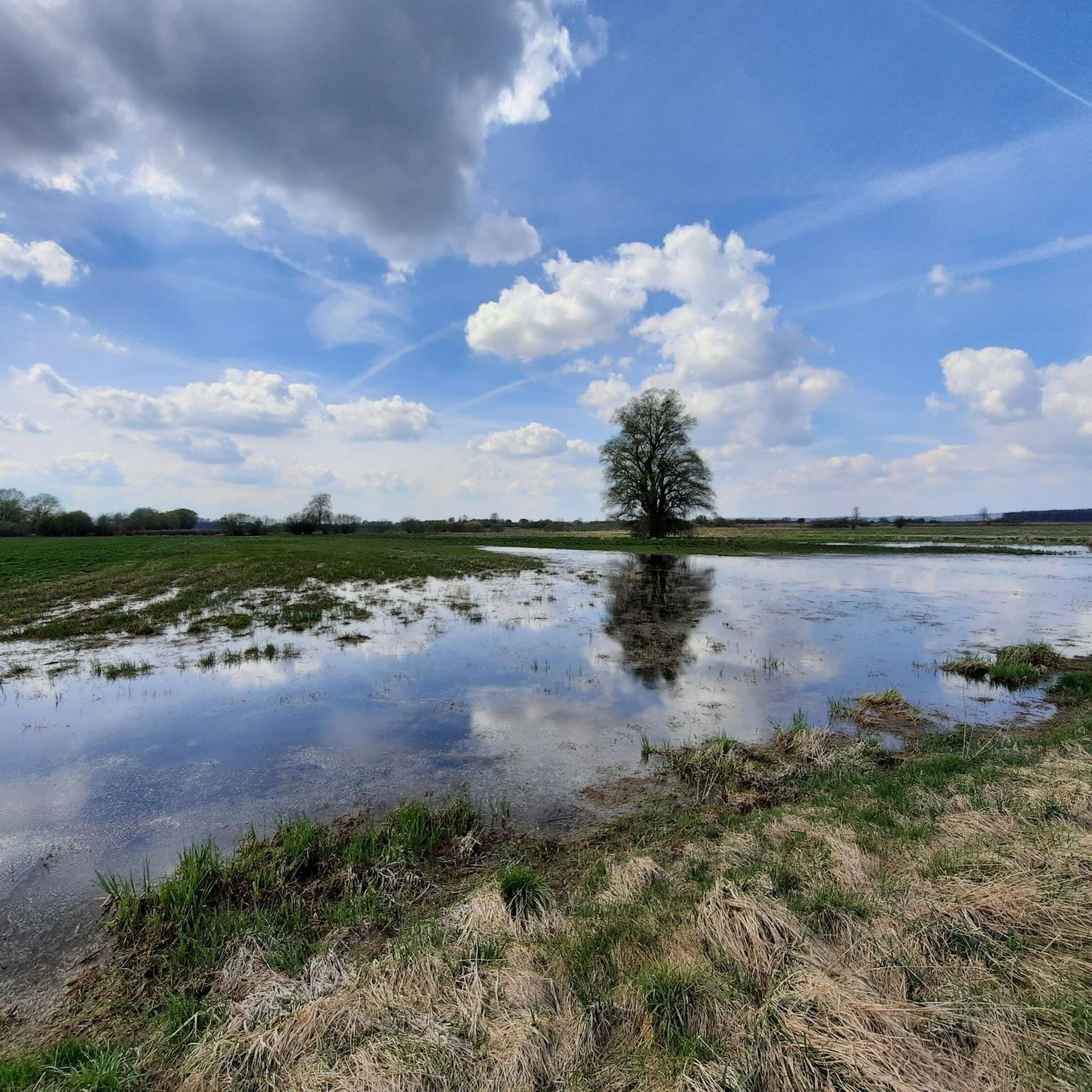
Although on a busy road, but still a beautiful view of the Danube
0
0

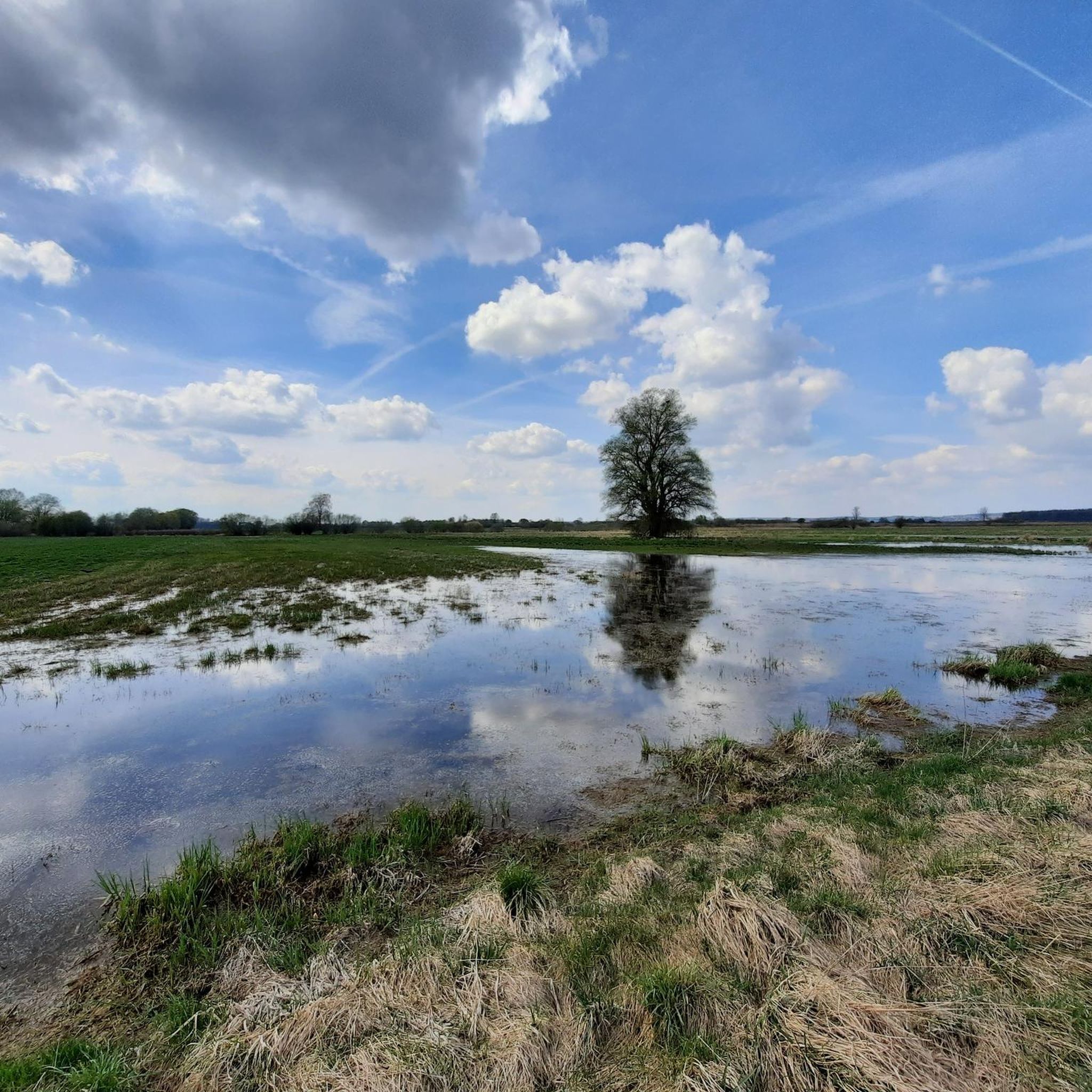
Quiet connecting road between Halbertshofen and Neuburg an der Kammel. Good asphalt. Do not use the bike path, which is not mandatory and in poor condition.
0
0
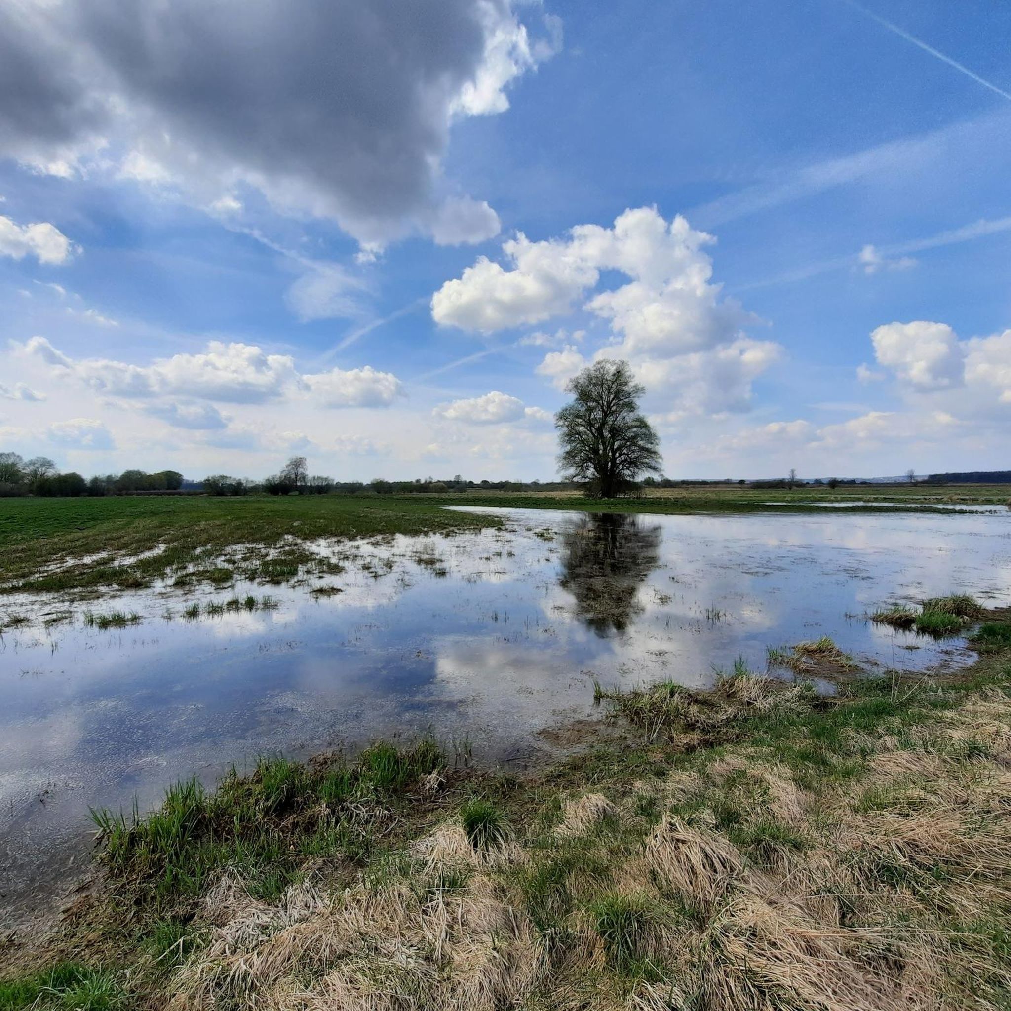
A nice, quiet local road between Billenhausen via Erisweiler to Halbertshofen. Well paved.
0
0
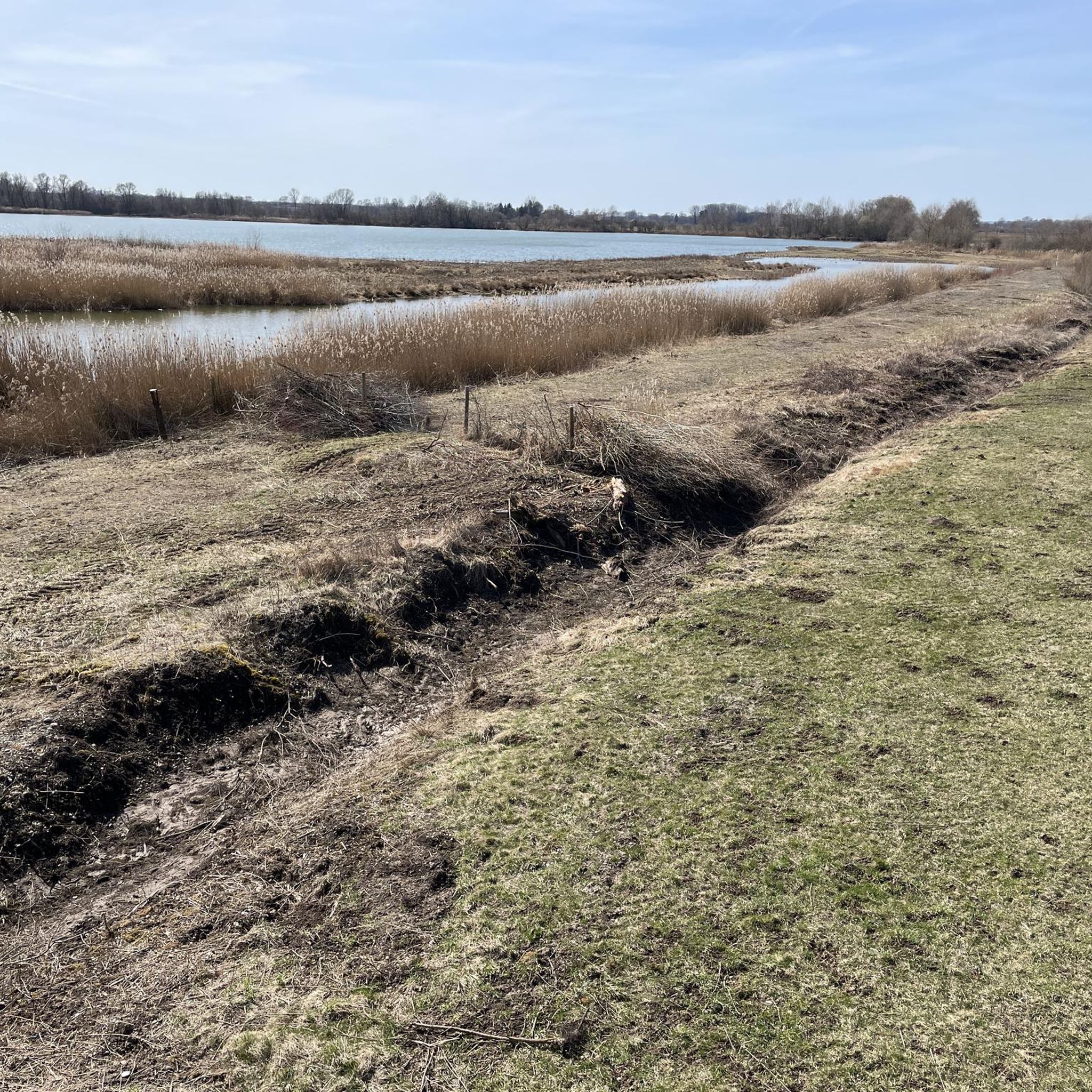
Roads (some of them agricultural tracks) between Neuburg an der Kammel and Unterrohr, part of the Kammel Cycle Path. Mostly well-paved. Suitable for road bikes.
0
0

Currently, with so many construction sites, the best view of the Danube and Münster :)
1
0

heavily contaminated by the local horse farm
0
0
Very good cycle path off the road
0
0
Frequently Asked Questions
What is the general difficulty level of road cycling routes in Gundelfinger Moos?
Road cycling in Gundelfinger Moos is primarily characterized by flat to gently rolling terrain, typical of a riverine landscape. Most routes involve minor elevation changes, with climbs generally under 200 meters, making the region suitable for sustained road cycling. There are 92 easy routes and 166 moderate routes, with only a few difficult options.
Are there suitable road cycling routes for beginners in Gundelfinger Moos?
Yes, Gundelfinger Moos offers numerous routes ideal for beginners. The terrain is largely flat, following river valleys and open fields, which is perfect for those new to road cycling or looking for a relaxed ride. There are 92 easy routes available.
What are the typical distances for road cycling routes in Gundelfinger Moos?
Routes in Gundelfinger Moos vary in length, catering to different preferences. For example, the popular View of the Danube – Ulm Town Hall loop from Günzburg is about 54.5 km (33.9 miles), while the View of Brenz Castle – Ulm Town Hall loop from Sontheim-Brenz extends to 67.3 km (41.8 miles). You can find routes ranging from shorter excursions to longer tours.
Are there any circular road cycling routes in Gundelfinger Moos?
Yes, many road cycling routes in Gundelfinger Moos are designed as loops, allowing you to start and end at the same point. Examples include the Schimmelturm, Lauingen – Danube Bridge Near Dillingen loop from Günzburg and the Kammel Cycle Path – Günzburg Old Town loop from Günzburg.
What is the best time of year for road biking in Gundelfinger Moos?
The best time for road biking in Gundelfinger Moos is typically from spring through autumn (April to October), when the weather is mild and the landscapes are vibrant. The flat terrain makes it accessible for most of this period, though checking local weather forecasts is always recommended.
What kind of views and landscapes can I expect while road cycling in Gundelfinger Moos?
Road cycling in Gundelfinger Moos offers scenic views of the Danube river valley, characterized by open agricultural fields, charming small villages, and stretches along the riverbanks. You'll experience a mix of natural riverine landscapes and cultural sights.
Are there any specific viewpoints or landmarks along the road cycling routes?
Yes, routes often pass by interesting landmarks. For instance, the View of Brenz Castle – Ulm Town Hall loop from Sontheim-Brenz takes you past historical sites. Other routes offer views of the Danube and pass through towns like Günzburg and Lauingen, where you might spot structures like the Schimmelturm.
What do other road cyclists say about the routes in Gundelfinger Moos?
The road cycling routes in Gundelfinger Moos are highly rated by the komoot community, with an average score of 4.6 stars from over 260 reviews. Cyclists often praise the well-maintained paths, the scenic river views, and the gentle terrain that makes for enjoyable rides.
How many road cycling routes are available in Gundelfinger Moos?
There are over 260 road cycling routes available in Gundelfinger Moos, offering a wide variety of options for different skill levels and preferences. This includes 92 easy routes, 166 moderate routes, and 8 more challenging options.
Are there any routes that pass through or near historical towns?
Yes, several routes incorporate historical towns. For example, the Günzburg Old Town – Schimmelturm, Lauingen loop from Günzburg allows you to explore the old town of Günzburg and pass by the historic Schimmelturm in Lauingen.
What kind of terrain can I expect on road bike trails in Gundelfinger Moos?
The terrain in Gundelfinger Moos is predominantly flat to gently rolling, characteristic of a riverine landscape. You'll mostly ride through open agricultural fields, along riverbanks, and through small villages, with minimal steep climbs.
Are there options for longer road cycling tours in the region?
Yes, for those seeking longer rides, routes like the View of Brenz Castle – Ulm Town Hall loop from Sontheim-Brenz, which is 67.3 km (41.8 miles), provide extended cycling experiences through river valleys and past historical sites.
Most popular routes in Gundelfinger Moos

Get inspired with the komoot mobile app


Explore more
Browse the best Road cycling routes in other regions.
