Landschaftsschutzgebiet Schurwaldrand Altbach-Plochingen-Reichenbach
Landschaftsschutzgebiet Schurwaldrand Altbach-Plochingen-Reichenbach
The best MTB trails in Landschaftsschutzgebiet Schurwaldrand Altbach-Plochingen-Reichenbach
4.6
(4528)
16,811
riders
759
rides
Mountain biking in Landschaftsschutzgebiet Schurwaldrand Altbach-Plochingen-Reichenbach offers a diverse network of trails through a protected landscape. The region is characterized by its position along the edge of the Schurwald forest, featuring wooded hills, river valleys, and scenic reservoirs. These physical features provide varied terrain suitable for different mountain biking experiences.
Best mountain bike trails in Landschaftsschutzgebiet Schurwaldrand Altbach-Plochingen-Reichenbach
- The most popular mountain bike trail is View of Herrenbachsee – Herrenbach Reservoir (North) loop from Altbach, a 33.6 miles (54.1 km) trail that takes 3 hours 29 minutes to complete. This route offers views of the Herrenbach Reservoir and traverses varied forest paths.
- Another top favourite among local mountain bikers is Sideshow Bob Trail – Rivendell Mountain Bike Trail loop from Altbach, a moderate 26.0 miles (41.9 km) path. This loop explores specific named trails within the forested landscape, providing a dynamic riding experience.
- Local mountain bikers also love the View of Herrenbachsee – Herrenbach Reservoir (North) loop from Plochingen, a 31.0 miles (49.9 km) trail leading through forested areas and past the Herrenbach Reservoir, often completed in about 3 hours 54 minutes.
- Mountain biking in Landschaftsschutzgebiet Schurwaldrand Altbach-Plochingen-Reichenbach is defined by dense woodlands, river valleys, and reservoir views. The network offers options for different ability levels, from easy paths to more challenging moderate routes.
- The routes in Landschaftsschutzgebiet Schurwaldrand Altbach-Plochingen-Reichenbach are highly rated by the komoot community with an average score of 4.6 stars from over 3700 reviews. More than 16000 mountain bikers have used komoot to explore Landschaftsschutzgebiet Schurwaldrand Altbach-Plochingen-Reichenbach's varied terrain.
Last updated: November 5, 2026
4.9
(48)
96
riders
41.8km
03:45
690m
690m
Moderate mountain bike ride. Good fitness required. Advanced riding skills necessary.
4.8
(17)
41
riders
48.7km
03:46
570m
570m
Moderate mountain bike ride. Good fitness required. Advanced riding skills necessary.

4.8
(18)
59
riders
54.9km
03:30
480m
480m
Moderate mountain bike ride. Good fitness required.
4.1
(12)
41
riders
Moderate mountain bike ride. Advanced riding skills necessary.
4.4
(10)
28
riders
25.5km
01:53
280m
280m
Easy mountain bike ride.
Get access to more routes and recommendations from other explorers.
Already have an account?
Our route recommendations are based on thousands of hikes, rides, and runs completed by other people on komoot.
Start today with a free account
Your next adventure awaits.
Popular around Landschaftsschutzgebiet Schurwaldrand Altbach-Plochingen-Reichenbach
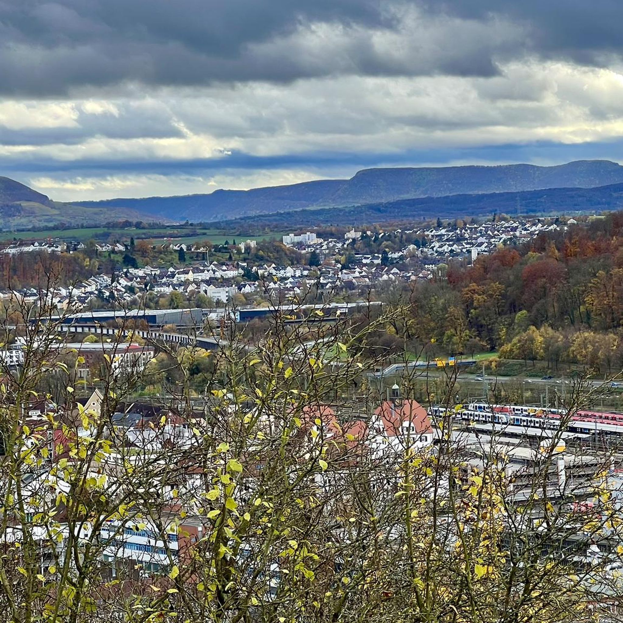
Cycling in Landschaftsschutzgebiet Schurwaldrand Altbach-Plochingen-Reichenbach
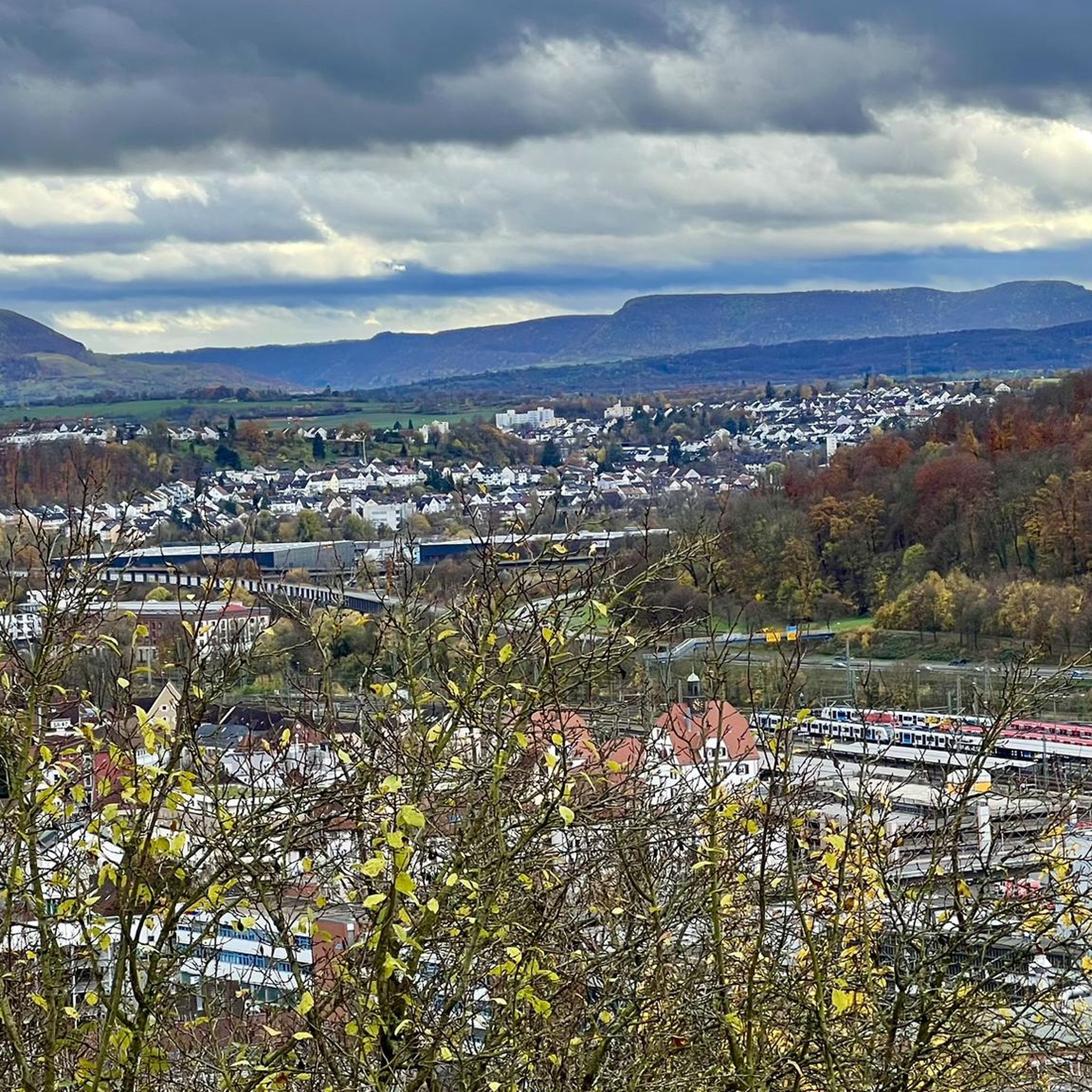
Road Cycling Routes in Landschaftsschutzgebiet Schurwaldrand Altbach-Plochingen-Reichenbach
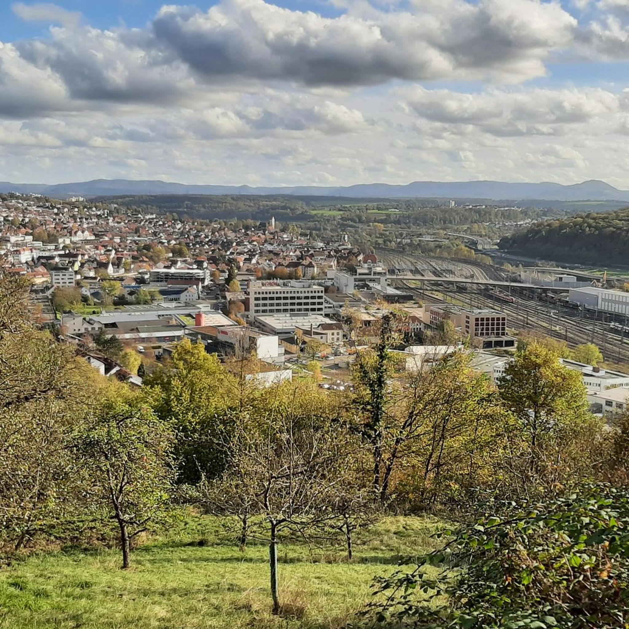
Running Trails in Landschaftsschutzgebiet Schurwaldrand Altbach-Plochingen-Reichenbach
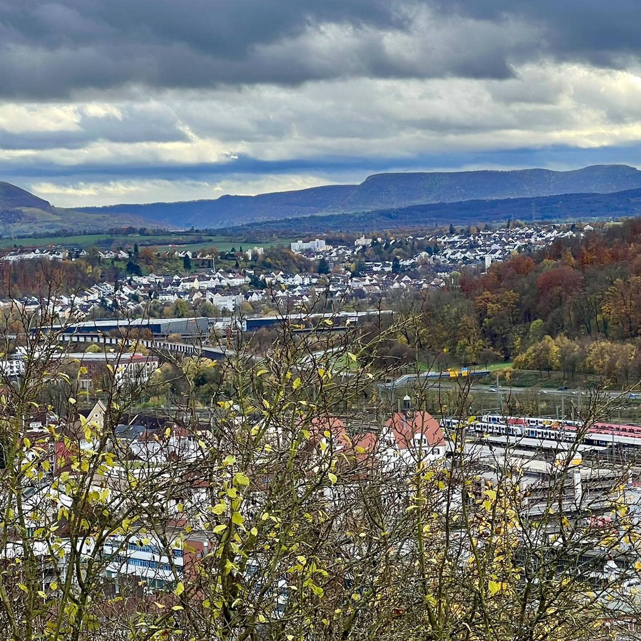
Hiking in Landschaftsschutzgebiet Schurwaldrand Altbach-Plochingen-Reichenbach

Gravel biking in Landschaftsschutzgebiet Schurwaldrand Altbach-Plochingen-Reichenbach
Tips from the Community

The Alte Bogenstein arch bridge, which although no longer accessible due to the risk of collapse, is still very beautiful to look at due to its idyllic location.
6
0
The mill is the older of two historic mills in the valley (the neighboring oil mill dates from 1772) and was first documented in 1402 as the property of the Nellingen provostry. The name goes back to the old manorial milling right (the so-called compulsory grinding). The inhabitants of the surrounding hamlets of Baltmannsweiler, Hegenlohe, Hohengehren, and Thomashardt were legally "banned" – i.e. obliged – to have their grain ground exclusively here.
7
0

With a pleasant incline and no traffic, you can cycle comfortably and pleasantly here.
3
0

Caution, a tree broken by the storm is currently lying in the middle of the trail in the lower section! Coming from above, you can ride/walk around it to the left.
0
0

Imposing specimens of giant sequoias from the so-called "Wilhelma-seed" stand in Baltmannsweiler at the Schlössleseen.
1
0

Finally no sitting.
0
0
Excellent view into the Neckar valley and of Uhlbach above the vineyards with a suitable seating area.
6
0
As early as 1985, two architects from Plochingen planned the construction of a mixed-use building in a ring around an inner courtyard, designed to integrate seamlessly with the existing streetscape. The architects envisioned 64 apartments, 16 commercial units, 300 additional underground parking spaces – connected to the existing 120 spaces in the neighboring building – and 2,300 square meters of retail space for a supermarket – all within the 1.5-hectare site south of Marktstraße. By 1990, the plans were ready for building permit approval, and it was then that the idea arose to make the building particularly attractive through a unique design of the inner courtyard. In 1992, the city succeeded in contacting the Austrian artist Friedensreich Hundertwasser. He was indeed willing to design the facade of the inner courtyard. He was intrigued by the idea that the viewer in the courtyard would be surrounded by "nothing but Hundertwasser and the sky above" – a self-contained Hundertwasser world. This was unprecedented in all of his previous buildings and entirely new to the artist himself. The developer gave his approval, thus paving the way for Hundertwasser's colorful fairytale world. The privately financed construction cost around 60 million marks. The "Living under the Rain Tower" complex has since become a popular tourist attraction. The 33-meter-high "Rain Tower" rises prominently above the rest of the building, crowned by four golden spheres. For Hundertwasser, towers have always been a symbol of significant structures, "pointing to the heavens," and so the Rain Tower has become another landmark of the city.
6
0
Frequently Asked Questions
How many mountain bike trails are available in Landschaftsschutzgebiet Schurwaldrand Altbach-Plochingen-Reichenbach?
There are over 740 mountain bike trails recorded in Landschaftsschutzgebiet Schurwaldrand Altbach-Plochingen-Reichenbach, offering a wide range of options for different skill levels and preferences.
Are there easy mountain bike trails suitable for beginners or families?
Yes, the region offers nearly 200 easy mountain bike trails. A good option for a less strenuous ride is the Neckar River – Wasserhaus Esslingen loop from Altbach, which is 13.2 km long and features minimal elevation gain.
What is the typical length and duration of mountain bike trails in this area?
Trail lengths vary significantly. For example, the View of Herrenbachsee – Herrenbach Reservoir (North) loop from Altbach is 54.1 km and typically takes around 3 hours 29 minutes, while shorter routes like the Neckar River – Wasserhaus Esslingen loop from Altbach are 13.2 km and can be completed in about 45 minutes.
Are there any circular mountain bike routes in Landschaftsschutzgebiet Schurwaldrand Altbach-Plochingen-Reichenbach?
Many of the mountain bike routes in the region are circular. Examples include the Sideshow Bob Trail – Rivendell Mountain Bike Trail loop from Altbach, a 41.9 km moderate loop, and the View of Herrenbachsee – Herrenbach Reservoir (North) loop from Plochingen, which is 49.9 km.
What kind of scenery can I expect on the mountain bike trails?
The trails in Landschaftsschutzgebiet Schurwaldrand Altbach-Plochingen-Reichenbach are known for dense woodlands, river valleys, and scenic reservoir views, particularly around the Herrenbach Reservoir. You'll experience a mix of forest paths and open sections.
What are some interesting landmarks or natural attractions to see along the trails?
Along the trails, you can explore natural monuments like the Four Giant Sequoias near Gschlägwiese, Baltmannsweiler or the Old Bühleiche (Plochingen-Stumpenhof). The Schachenbach Stream and Schachen Forest also offer picturesque spots.
What do other mountain bikers enjoy most about mountain biking in this region?
The area is highly rated by the komoot community, with an average score of 4.6 stars from over 3700 reviews. Reviewers often praise the diverse network of trails, the varied terrain, and the scenic views of the reservoirs and woodlands.
Are there any advanced mountain biking trails for experienced riders?
While the majority of trails are easy to moderate, there are 38 difficult routes available for experienced riders seeking more challenging terrain. These often feature steeper climbs and more technical descents within the forested landscape.
Is there parking available near the mountain bike trailheads?
Given the popularity of the area for outdoor activities, parking is generally available in and around the towns of Altbach, Plochingen, and Reichenbach, which serve as common starting points for many routes. Specific parking details can often be found on individual route pages on komoot.
What is the best season for mountain biking in Landschaftsschutzgebiet Schurwaldrand Altbach-Plochingen-Reichenbach?
The region is generally suitable for mountain biking from spring through autumn, when the weather is mild and trails are dry. While some routes may be accessible in winter, conditions can be challenging due to mud, ice, or snow, especially in forested areas.
Are there mountain bike trails that pass by cafes or places to stop for refreshments?
Many routes in the region pass through or near the towns of Altbach, Plochingen, and Reichenbach, where you can find cafes, restaurants, and other amenities. Planning your route with komoot allows you to identify such points of interest along the way.
Most popular routes in Landschaftsschutzgebiet Schurwaldrand Altbach-Plochingen-Reichenbach
Most popular attractions in Landschaftsschutzgebiet Schurwaldrand Altbach-Plochingen-Reichenbach

Get inspired with the komoot mobile app


Explore more
Browse the best MTB trails in other regions.
