The best MTB trails in Goldgrund
4.6
(1367)
5,548
riders
374
rides
Mountain bike trails in Goldgrund are situated within a natural park near Germersheim, characterized by its flat riverine landscapes. The region features extensive riverside paths along the Rhine and Alb rivers, as well as routes through areas like Bienwald Kandel. These trails offer gentle gradients and scenic views across the surrounding plains and waterways, making them suitable for various skill levels.
Best mountain bike trails in Goldgrund
- The most popular mountain bike trail is Rhine Cycle Path near Palatinate –…
Last updated: July 4, 2026
3.7
(3)
15
riders
Moderate mountain bike ride. Good fitness required. Advanced riding skills necessary.
5.0
(6)
39
riders
Moderate mountain bike ride. Good fitness required. Suitable for all skill levels.

Sign up for free
5.0
(3)
15
riders
Moderate mountain bike ride. Good fitness required. Advanced riding skills necessary.
4.0
(3)
13
riders
42.6km
02:22
100m
100m
Moderate mountain bike ride. Good fitness required. Suitable for all skill levels.
4.0
(2)
2
riders
Moderate mountain bike ride. Great for any fitness level. Advanced riding skills necessary.
Get access to more routes and recommendations from other explorers.
Sign up for free
Already have an account?
Our route recommendations are based on thousands of hikes, rides, and runs completed by other people on komoot.
Start today with a free account
Your next adventure awaits.
Login or Signup
Tips from the Community

Pretty town center. Hometown of P. Ackermann :-)
0
0

The Sauer is a tributary of the Rhine, approximately 70 km long. It originates in the Palatinate Forest near the Franco-German border. On its course, it flows through the Northern Vosges and partly forms the border between Germany and France. It then crosses Alsace before flowing into the Rhine near Munchhausen. The Sauer has a catchment area of about 800 km² and an average discharge of around 6 m³ per second.
0
0
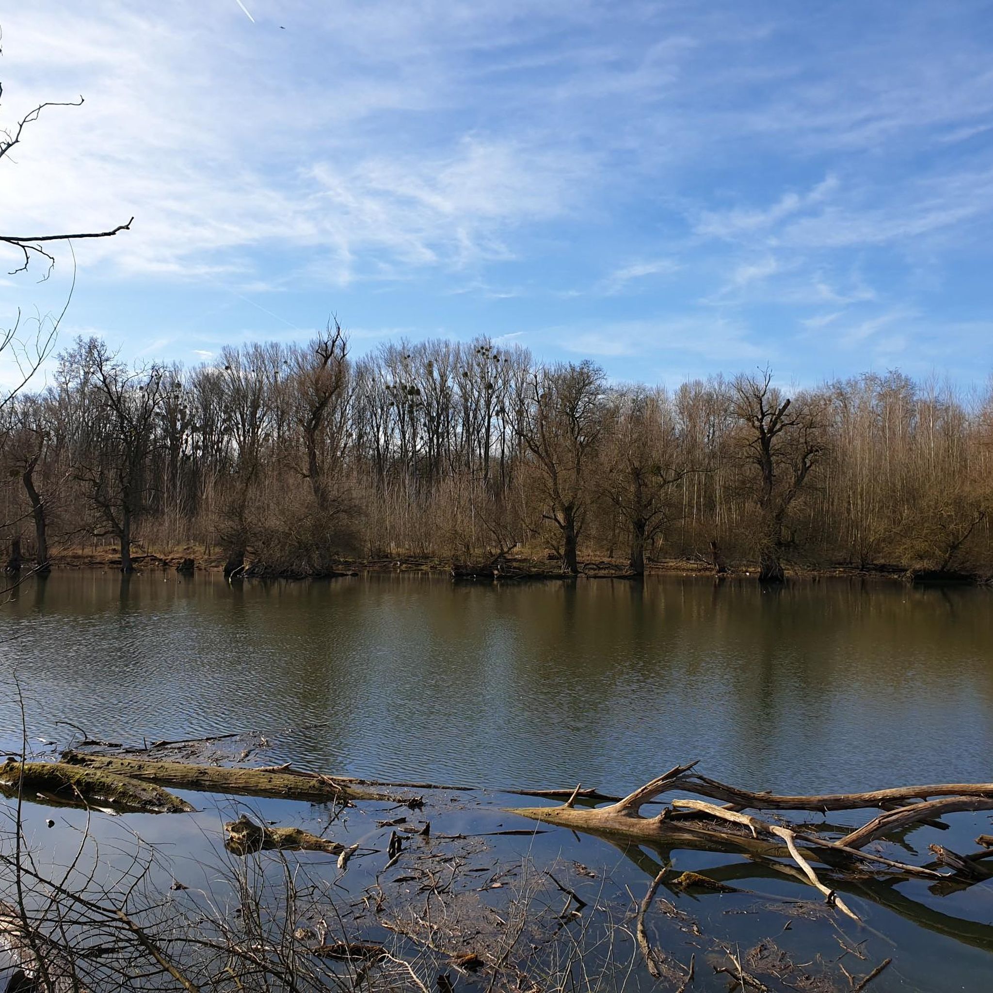
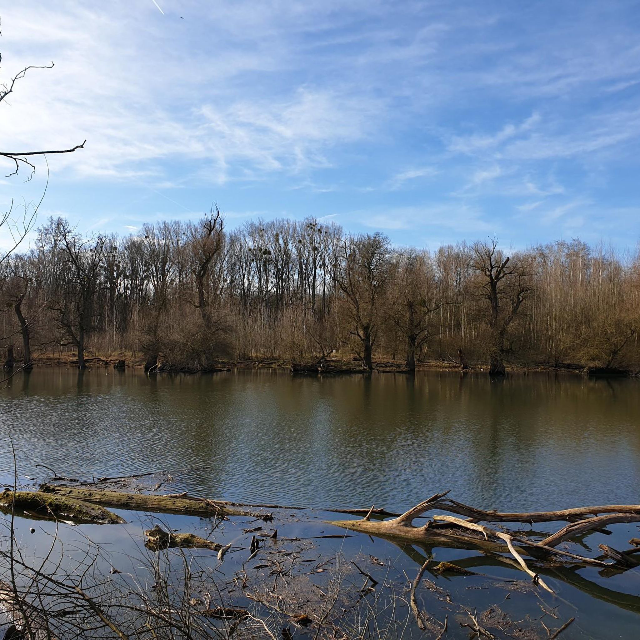
Willow bushes, marshy areas and reed beds, - the Sauer Delta nature reserve is an unusual landscape! It was declared a nature reserve by ministerial decree in 1997 and 486 ha were protected. From an ornithological, botanical and landscape perspective, it is an absolutely exceptional area and one of the last regions in France where the Rhine floods can still spread.
0
0
Willow bushes, marshy areas and reeds - the Sauer Delta nature reserve is an unusual landscape! It was declared a nature reserve by ministerial decree in 1997 and 486 ha were protected. From an ornithological, botanical and landscape perspective, it is a truly exceptional area and one of the last regions in France where the Rhine floodwaters can still spread out.
0
0

The majestic church dominates the town of Lauterbourg. Worth seeing are the medieval bell tower, the Gothic choir - which dates from the mid-15th century.
0
0

An anti-tank ditch is an artificially constructed, deep and wide obstacle, often filled with water or with steep walls, which served to stop the advance of enemy tanks in the First and especially the Second World War (e.g. Westwall).
0
0

Historically rather so-so - not really interesting as a destination - but it's located on a beautiful stretch of cycle path 👍🏻
1
0
Many old half-timbered houses and the Church of St. George.
0
0
Frequently Asked Questions
How many mountain bike trails are available in Goldgrund?
Goldgrund offers a wide selection of mountain bike routes, with over 380 trails recorded on komoot. These range from easy riverside paths to more moderate routes through forested areas.
What kind of terrain can I expect on Goldgrund's mountain bike trails?
The mountain bike trails in Goldgrund are primarily characterized by flat riverine landscapes, extensive riverside paths along the Rhine and Alb rivers, and routes through areas like Bienwald Kandel. You'll find gentle gradients and scenic views across the surrounding plains and waterways, making them generally accessible.
Are there mountain bike trails suitable for beginners in Goldgrund?
Yes, Goldgrund is very beginner-friendly. There are over 150 easy mountain bike routes, many of which follow the flat river plains. An excellent option for an easy ride is the Rhine Cycle Path near Palatinate – View of the Maxau Rhine Bridge loop from Goldgrund, which is 14.5 miles (23.4 km) long and offers scenic views.
Are there challenging mountain bike trails for experienced riders in Goldgrund?
While Goldgrund is known for its flatter terrain, there are 24 difficult mountain bike routes for those seeking more of a challenge. These trails often incorporate more varied terrain within the forested sections or longer distances to test endurance.
Are Goldgrund's mountain bike trails suitable for families?
Absolutely. The routes in Goldgrund are well-suited for families, with many easy and moderate options featuring gentle gradients and scenic, safe paths. The flat river plains and extensive riverside paths provide a pleasant environment for family outings.
What do other mountain bikers enjoy most about Goldgrund?
The komoot community highly rates Goldgrund's mountain bike trails, with an average score of 4.5 stars from over 1200 reviews. Riders often praise the scenic riverside paths, the quiet forested sections, and the accessibility of the routes for various skill levels.
Are there any circular mountain bike routes in Goldgrund?
Yes, many of the mountain bike trails in Goldgrund are designed as loops. For example, the popular Singletrack Bienwald Kandel – Naturfreundehaus Kandel loop from Maximiliansau Im Rüsten is a moderate 27.2 miles (43.8 km) circular path through the Bienwald Kandel area.
What natural features or attractions can I see along the mountain bike trails?
Goldgrund offers several natural attractions along its trails. You can ride along the Rheinhauptdamm Cycle Path Between Wörth and Neuburg, pass by the Großer Goldgrundsee, or explore the Goldgrund Conservation Area. There are also viewpoints like the View of the Goldgrund Quarry Lake.
Is there public transport access to the mountain bike trails in Goldgrund?
While specific public transport details for trailheads are not provided in this guide, the Goldgrund region is situated near Germersheim, which generally has public transport connections. It's advisable to check local bus or train schedules to nearby towns like Maximiliansau or Germersheim for the closest access points to the trail network.
What is the best season for mountain biking in Goldgrund?
Given the region's flat terrain and natural park setting, mountain biking in Goldgrund is enjoyable across multiple seasons. Spring and autumn offer pleasant temperatures and vibrant scenery. Summer is also suitable, especially along the riverside paths where breezes can be refreshing. Winter riding might be possible on cleared paths, but conditions can vary.
Are there any other notable routes besides the most popular ones?
Yes, beyond the most popular trails, you might enjoy the Rheinbrücken Maxau – Alb River Path loop from Maximiliansau West, a moderate 42.7 km route. Another option is the Lourdes Grotto Pilgrimage Site – Abandoned Bunker loop from Maximiliansau Im Rüsten, which is 30.1 km long and also rated moderate.
Most popular routes in Goldgrund
Most popular attractions in Goldgrund

Get inspired with the komoot mobile app


Explore more
Browse the best MTB trails in other regions.
