The best road cycling routes in Lichtenauer Rheinniederung
4.4
(280)
3,568
riders
228
rides
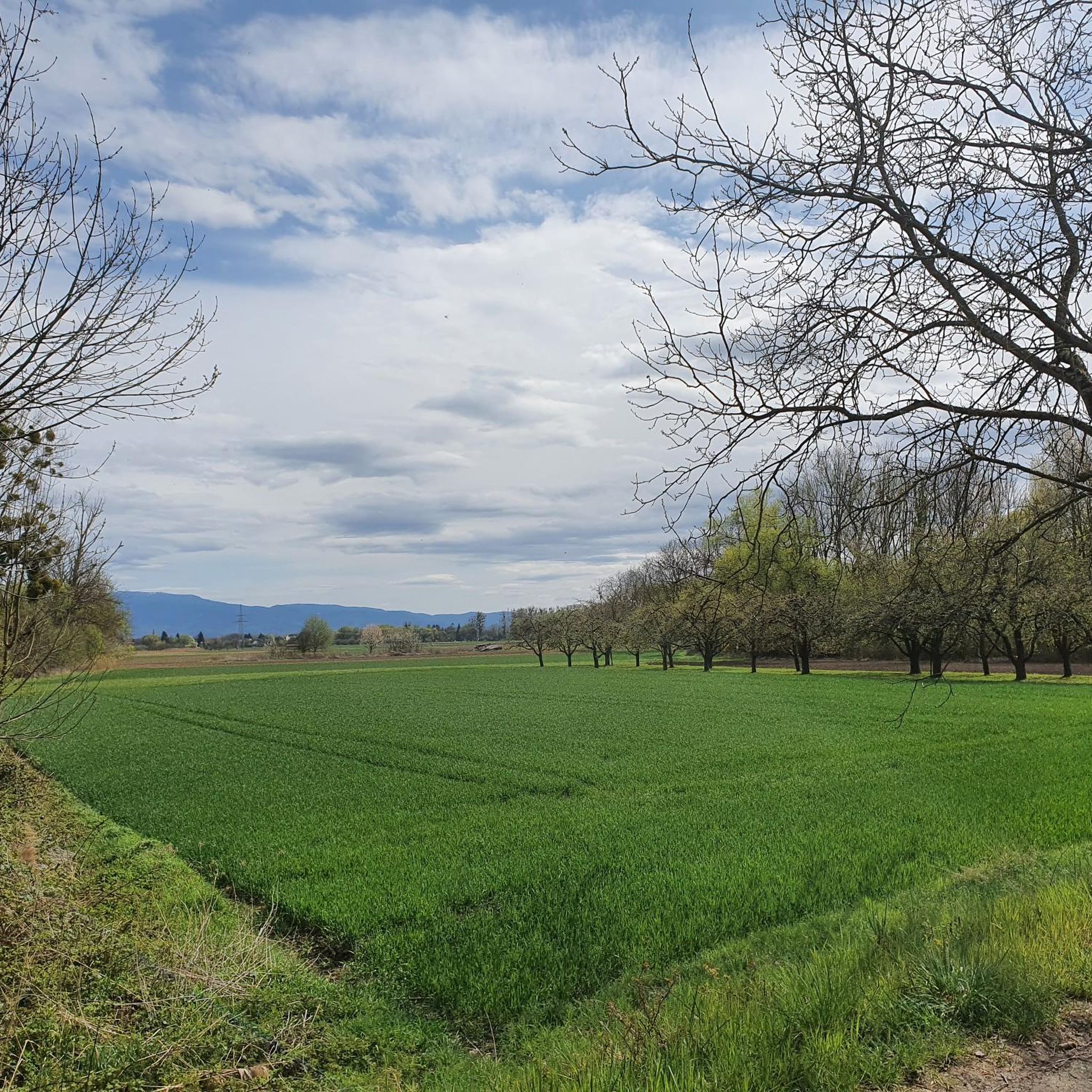
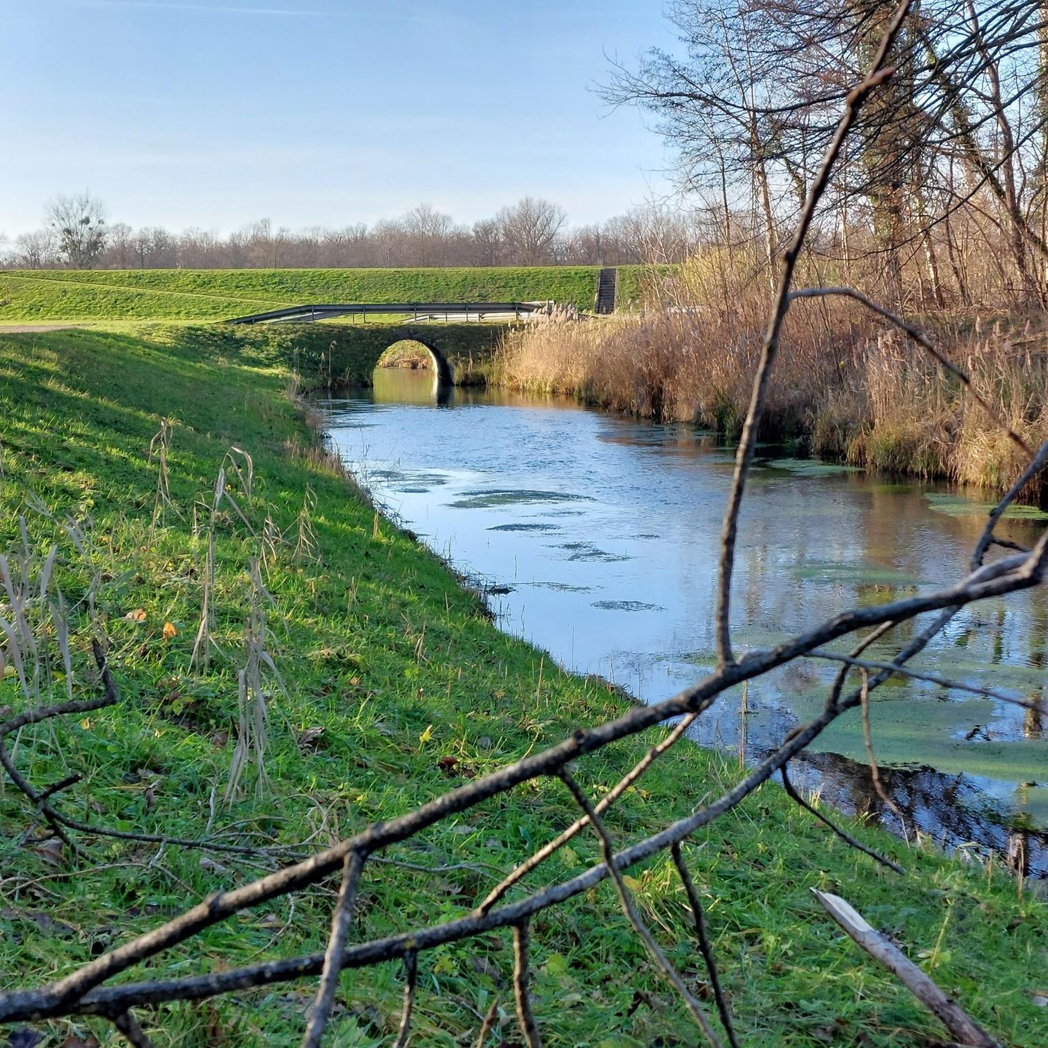
Road cycling in Lichtenauer Rheinniederung is characterized by its predominantly flat terrain within the Rhine floodplains. This region features ecologically valuable wetlands, diverse forest areas, and naturally formed bodies of water. The landscape is shaped by the Rhine River, offering extensive networks of cycle paths. Elevations are minimal, making it suitable for road cyclists seeking accessible rides.
Best road cycling routes in Lichtenauer Rheinniederung
- The most popular road cycling route is Swans on the Rhine – Erländersee loop from Rheinknie Alter Kopfgrund, a 17.9 miles (28.8 km) trail that takes 1 hour 6 minutes to complete. This route offers views along the Rhine and passes by the Erländersee.
- Another top favourite among local road cyclists is Roadbike loop from Rheinknie Alter Kopfgrund, an easy 21.7 miles (34.9 km) path. This route traverses flat paths through the Rhine floodplains, providing open scenery.
- Local road cyclists also love the Staibsee – Brückenloch loop from Lichtenauer Rheinniederung, a 22.8 miles (36.7 km) trail leading through ecologically valuable wetlands and past naturally formed bodies of water, often completed in about 1 hour 23 minutes.
- Road cycling in Lichtenauer Rheinniederung is defined by Rhine floodplains, diverse forest areas, and naturally formed bodies of water. The network offers options for easy, moderate, and difficult ability levels.
- The routes in Lichtenauer Rheinniederung are highly rated by the komoot community with an average score of 4.4 stars from over 200 reviews. More than 3000 road cyclists have used komoot to explore Lichtenauer Rheinniederung's varied terrain.
Last updated: October 12, 2026
5.0
(5)
7
riders
16.4km
00:39
20m
20m
Easy road ride. Great for any fitness level. Mostly well-paved surfaces and easy to ride.
5.0
(1)
24
riders
41.7km
01:36
60m
60m
Moderate road ride. Great for any fitness level. Some segments of this route may be unpaved and difficult to ride.

24
riders
65.2km
02:32
120m
120m
Moderate road ride. Good fitness required. Mostly well-paved surfaces and easy to ride.
5.0
(1)
25
riders
24.1km
00:55
30m
30m
Easy road ride. Great for any fitness level. Mostly well-paved surfaces and easy to ride.
13
riders
Easy road ride. Great for any fitness level. Mostly well-paved surfaces and easy to ride.
Get access to more routes and recommendations from other explorers.
Already have an account?
Our route recommendations are based on thousands of hikes, rides, and runs completed by other people on komoot.
Start today with a free account
Your next adventure awaits.

Tips from the Community

Very nice area! :) Worth it. :)
1
0

In principle, there are actually two crosses here, both lamenting suffering and yet testifying to completely different events. For the hiker or cyclist (regardless of gender) who passes by here, it offers an opportunity to reflect (on people) and pause.
3
0
Unexpectedly by the roadside, a "thank you" to Maria that is more than two hundred years old. A gem under a tree with a bench for reflection.
3
0
A real splendor - I counted more than twenty storks on the church and church tower roof today-
1
0

The St. Nikolaus Church has its origins in the Middle Ages. It originated from an early chapel and was later rebuilt and expanded several times. The holy Nicholas as patron shows the long ecclesiastical tradition of the place. Over the centuries, the church was and remains the religious and social center of Gamshurst to this day.
0
0
The Schwedenkreuz is reminiscent of the Thirty Years' War.
0
0

The Drusus ferry operates on the Rhine between Greffern and Drusenheim in Alsace at Rhine kilometer 321. The crossing from France to Germany was free.
6
0

it was the rescue for a loose rear wheel hub
1
0
Frequently Asked Questions
How many road cycling routes are available in Lichtenauer Rheinniederung?
Lichtenauer Rheinniederung offers a wide selection of road cycling routes, with over 230 tours available. These routes cater to various skill levels, from easy to more challenging rides.
What is the typical terrain like for road cycling in Lichtenauer Rheinniederung?
The region is characterized by its predominantly flat terrain, shaped by the Rhine River and its floodplains. This makes it ideal for road cyclists seeking routes with minimal inclines, allowing for enjoyable and accessible rides through diverse forest areas and wetlands.
Are there road cycling routes suitable for families in the Lichtenauer Rheinniederung?
Yes, the flat topography and extensive network of cycle paths make Lichtenauer Rheinniederung very suitable for family-friendly road cycling. Many routes, like the Bühl Market Square – Johannesplatz, Bühl loop from Lichtenau, are rated as easy and provide a pleasant experience for all ages.
What kind of natural attractions or landmarks can I see while road cycling here?
While cycling, you can explore various natural features and points of interest. Highlights include the Confluence of the Rench and the Rhine, the Suspension Bridge and Resting Benches at Altrheingraben, and the serene Riedsee Lichtenauer Rheinniederung. These offer picturesque views and opportunities to connect with the river landscape.
Are there any circular road cycling routes in the region?
Yes, many road cycling routes in Lichtenauer Rheinniederung are designed as loops, allowing you to start and end at the same point. Examples include the Swans on the Rhine – Erländersee loop from Rheinknie Alter Kopfgrund and the Staibsee – Brückenloch loop from Lichtenauer Rheinniederung, which lead through ecologically valuable wetlands.
What are the different difficulty levels for road cycling routes in Lichtenauer Rheinniederung?
The routes in Lichtenauer Rheinniederung cater to various abilities. You'll find a good mix, with 66 easy routes, 144 moderate routes, and 20 more challenging options, ensuring there's something for every road cyclist.
What is the best time of year to go road cycling in Lichtenauer Rheinniederung?
The region is generally pleasant for road cycling from spring through autumn. The flat terrain and well-maintained paths are enjoyable in milder weather, allowing you to fully appreciate the riverside views and natural scenery without extreme conditions.
Can I expect to see wildlife or unique natural features along the routes?
Absolutely. The Lichtenauer Rheinniederung is a designated nature and landscape protection area, boasting ecologically valuable wetlands, diverse forest areas, and naturally formed bodies of water. Cyclists often encounter local flora and fauna, making for a rich natural experience.
How can I access the road cycling routes, regarding parking or public transport?
Lichtenau itself serves as a recognized starting point for numerous cycling tours. While specific parking details vary by starting point, the extensive network of cycle paths is generally accessible. For public transport options, it's advisable to check local connections to Lichtenau or nearby towns, as the region is well-integrated into the broader infrastructure.
What do other road cyclists enjoy the most about road cycling in Lichtenauer Rheinniederung?
The area is highly rated by the komoot community, with an average score of 4.4 stars from over 200 reviews. Cyclists frequently praise the predominantly flat and varied landscape, the picturesque riverside views, and the well-maintained, often car-free paths that make for a smooth and safe experience.
Are there opportunities for longer road cycling tours, perhaps even cross-border?
Yes, the region's proximity to the Rhine and the French border offers potential for longer and even cross-border cycling experiences. Routes like the Johannesplatz, Bühl – Bühl Market Square loop from Lichtenau extend further, providing varied views and a greater challenge for those seeking more extensive rides.
Are there any specific long-distance cycle routes that pass through the area?
The wider Rhine Cycle Route (EuroVelo 15), which is largely asphalted and often car-free, runs through the region. This extensive route ensures a smooth and safe experience for road cyclists looking to cover longer distances and explore beyond the immediate Lichtenauer Rheinniederung area. More information can be found on resources like NRW Tourism.
Most popular routes in Lichtenauer Rheinniederung
Most popular attractions in Lichtenauer Rheinniederung

Get inspired with the komoot mobile app


Explore more
Browse the best Road cycling routes in other regions.
