The best mountain hikes in Bruchgraben
5.0
(1)
14
hikers
3
hikes
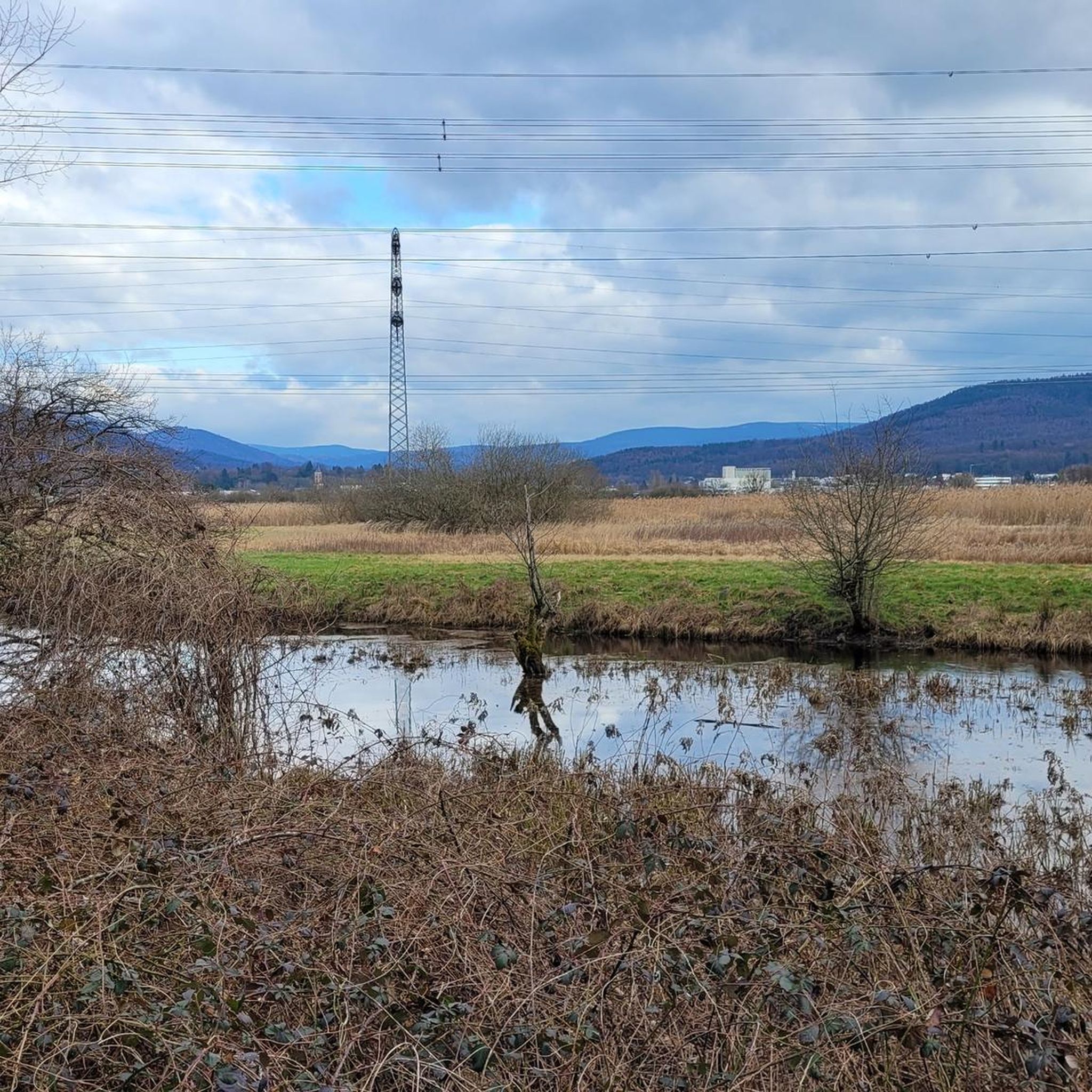
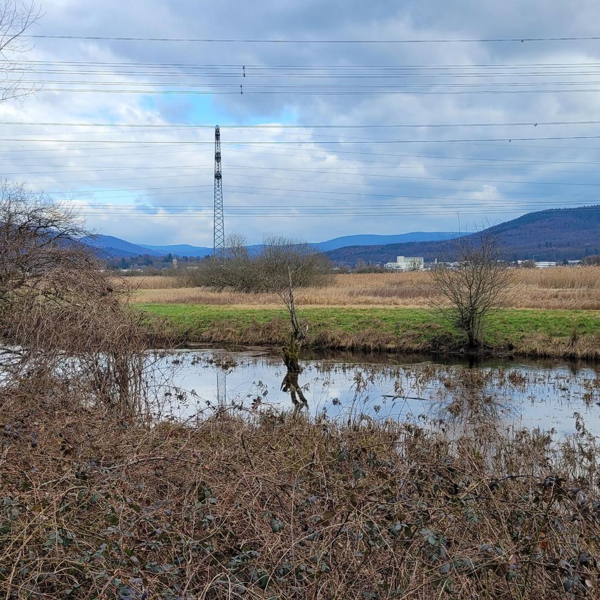
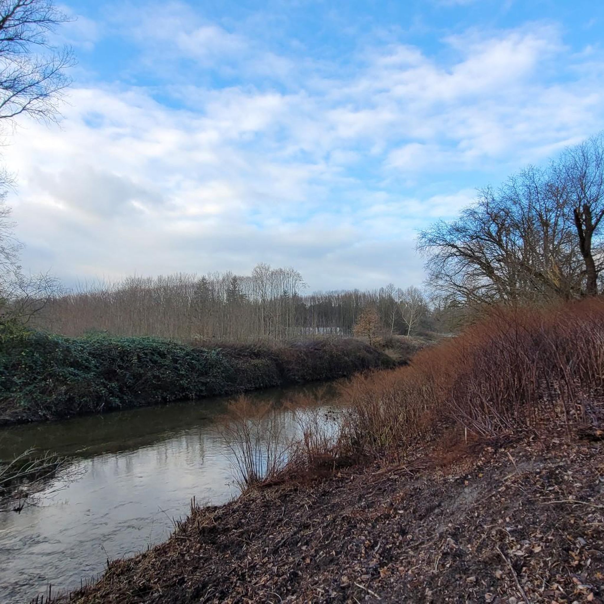
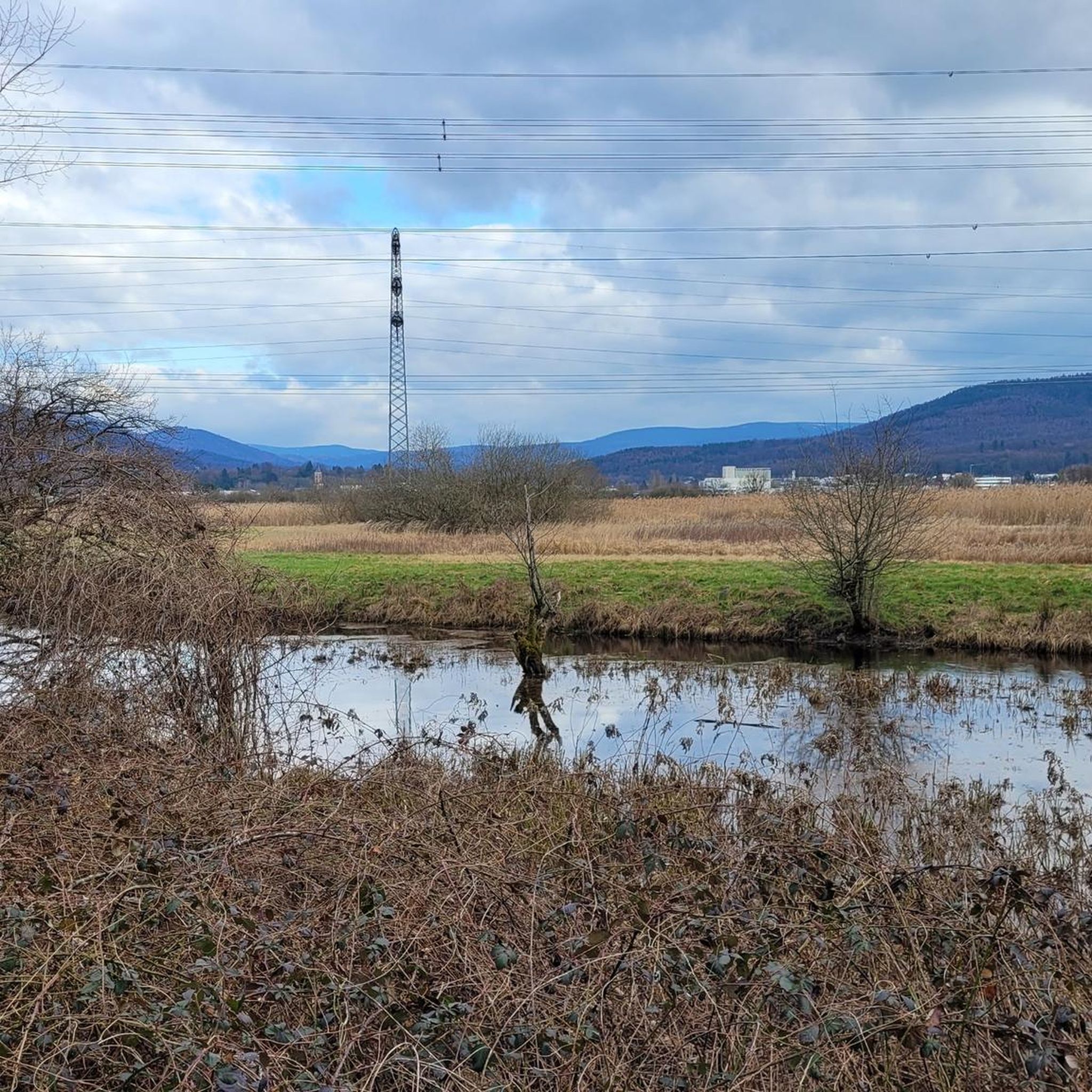
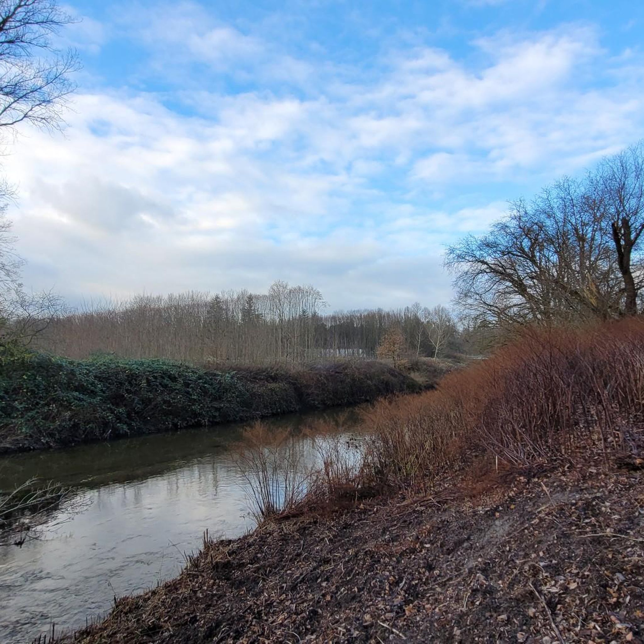
Mountaineering routes in Bruchgraben traverse a significant wetland nature reserve near Baden-Baden, Germany. The region is characterized by a mosaic of diverse soil conditions supporting varied plant communities and a rich ecosystem, rather than traditional alpine terrain. While primarily a wetland, the area offers elevated paths through forests and open landscapes, with some routes featuring elevation gains suitable for strenuous walking. The trails provide opportunities to explore a biodiversity hotspot, including habitats for rare amphibian species and diverse insect populations.
…Last updated: June 22, 2026
4
hikers
3.35km
01:11
150m
150m
Moderate mountaineering route. Great for any fitness level. Mostly accessible paths. Sure-footedness required.
7
hikers
Moderate mountaineering route. Great for any fitness level. Mostly accessible paths. Sure-footedness required.

Sign up for free
1
hikers
Moderate mountaineering route. Good fitness required. Easily-accessible paths. Suitable for all skill levels.
Our route recommendations are based on thousands of hikes, rides, and runs completed by other people on komoot.
Start today with a free account
Your next adventure awaits.
Login or Signup

Tips from the Community

From the Battert, there are always great views of the Nordschwarzwald.
4
0
Just behind the Old Castle of Hohenbaden, a narrow path climbs steeply up to the Battert
4
0


A massive wooden bridge nestled in a jungle-like ravine forest. Surrounded by rhododendrons, ferns, and moss-covered stones—especially beautiful in spring.
7
0

Good parking for the start of the circular route
1
0
The circular route is worth it
1
0

An idyllic bridge over the Grobbach! You pass this when you walk the circular path from the car park to the waterfall.
8
0
Frequently Asked Questions
What kind of terrain and difficulty should I expect on mountaineering routes in Bruchgraben?
Mountaineering in Bruchgraben primarily involves exploring a unique wetland nature reserve. While not traditional alpine terrain, the routes feature elevated paths through diverse forests and open landscapes. All routes listed in this guide are rated as moderate, offering a good balance for those seeking strenuous walking and nature observation. You'll find paths suitable for various fitness levels, with some routes featuring notable elevation gains.
Are there any family-friendly mountaineering options in Bruchgraben?
Yes, Bruchgraben offers routes that can be enjoyed by families, particularly those with some hiking experience. The View from the Ritterplatte – Old Castle Baden-Baden loop from Baden-Baden is a shorter, moderate option at 2.1 miles (3.4 km), making it suitable for a family outing. It offers scenic views and passes by the historic Old Castle Baden-Baden.
What are some notable natural features or attractions I can see along the routes?
Bruchgraben is a biodiversity hotspot, particularly known for its wetland ecosystem. Along the routes, you can immerse yourself in nature and observe diverse flora and fauna. Specific points of interest include the Lucas-Ruhe Memorial Rest Area and the Bruchgraben Underpass. The entire Bruchgraben Nature Reserve itself is a significant attraction, recognized for its importance to rare amphibian species and diverse insect populations.
Are there any circular mountaineering routes available in Bruchgraben?
Yes, many of the mountaineering routes in Bruchgraben are designed as circular loops, allowing you to start and end at the same point. For example, the Old Castle Baden-Baden – View from the Ritterplatte loop from Baden-Baden is a moderate 7.1-mile (11.4 km) circular path that provides an extensive exploration of the area around Old Castle Baden-Baden and the Ritterplatte viewpoint.
What is the best time of year to go mountaineering in Bruchgraben?
Bruchgraben's wetland environment and diverse ecosystems make it enjoyable throughout much of the year. Spring and autumn offer pleasant temperatures and vibrant natural displays, with spring being ideal for observing the rich amphibian life. Summer is also suitable, though some areas might be warmer. Winter mountaineering is possible, but conditions can vary, and paths might be muddy or icy, so checking local weather forecasts is always recommended.
How long do the mountaineering routes typically take to complete?
The duration of routes in Bruchgraben varies depending on their length and your pace. Shorter routes, like the Trail to Batter Fels – View from the Ritterplatte loop from Battertfelsen beim Schloß Hohenbaden, can be completed in about 1 hour 18 minutes. Longer routes, such as the Zimmerplatz Neuweier Trailhead – Brahms Fountain loop from Wanderparkplatz Malschbach, which is 12.8 km (8 miles), might take around 3 hours 55 minutes.
What are the typical elevation gains on Bruchgraben's mountaineering routes?
While Bruchgraben is a wetland, its routes do feature significant elevation changes, offering a good workout. For instance, the Old Hohenbaden Castle – View from the Ritterplatte loop from Battertfelsen beim Schloß Hohenbaden involves an ascent of approximately 332 meters (1,089 feet). The longest routes can have elevation gains exceeding 400 meters (1,300 feet).
Are there any specific permits or fees required to access the Bruchgraben Nature Reserve?
Generally, there are no specific permits or fees required for public access to the trails within the Bruchgraben Nature Reserve for recreational activities like mountaineering or hiking. However, as it is a protected area, visitors are expected to respect nature, stay on marked paths, and adhere to any local regulations regarding wildlife protection and waste disposal.
What do other mountaineers say about their experience in Bruchgraben?
The komoot community highly rates the mountaineering experience in Bruchgraben, with an average score of 5.0 stars. Users often praise the unique natural environment, the well-maintained paths, and the opportunity to explore a significant wetland ecosystem. The routes are appreciated for their moderate challenge and scenic views, particularly around historical sites like Old Castle Baden-Baden.
Are there places to eat or drink near the mountaineering routes in Bruchgraben?
While the immediate nature reserve focuses on natural preservation, the proximity to Baden-Baden means there are various cafes, restaurants, and pubs within a short distance of many trailheads. After your mountaineering adventure, you can easily find options for refreshments and meals in the nearby towns and villages.
How many mountaineering routes are available in Bruchgraben?
This guide features 5 distinct mountaineering routes in Bruchgraben, all rated as moderate. These routes offer a variety of distances and experiences, allowing you to explore different facets of this unique wetland region.
Most popular routes in Bruchgraben
Most popular attractions in Bruchgraben

Get inspired with the komoot mobile app


Explore more
Browse the best Mountain Hikes & Routes in other regions.
