The best cycling routes in Réserve Naturelle De L'Île Du Rohrschollen
4.5
(6528)
41,969
riders
895
rides
Touring cycling routes in Réserve Naturelle De L'Île Du Rohrschollen traverse a preserved alluvial forest ecosystem situated on an island in the Rhine River. The terrain is generally flat, characterized by wetlands, meadows, and diverse forest types. Paths follow both the "wild Rhine" and the canalized Rhine, offering varied scenery along dry dikes and gravel banks. This natural reserve provides accessible routes suitable for touring cyclists seeking a blend of natural beauty and riverine landscapes.
Best touring cycling routes in…
Last updated: August 28, 2026
4.5
(40)
304
riders
Easy bike ride. Great for any fitness level. Mostly paved surfaces. Suitable for all skill levels.
30
riders
Easy bike ride. Great for any fitness level. Mostly paved surfaces. Suitable for all skill levels.

Sign up for free
4.8
(4)
15
riders
Easy bike ride. Great for any fitness level. Mostly paved surfaces. Suitable for all skill levels.
5.0
(2)
11
riders
48.5km
02:50
90m
90m
Moderate bike ride. Good fitness required. Mostly paved surfaces. Suitable for all skill levels.
5.0
(1)
8
riders
Hard bike ride. Great for any fitness level. You may need to push your bike for some segments of this route.
Get access to more routes and recommendations from other explorers.
Sign up for free
Already have an account?
Our route recommendations are based on thousands of hikes, rides, and runs completed by other people on komoot.
Start today with a free account
Your next adventure awaits.
Login or Signup
Popular around Réserve Naturelle De L'Île Du Rohrschollen
Tips from the Community

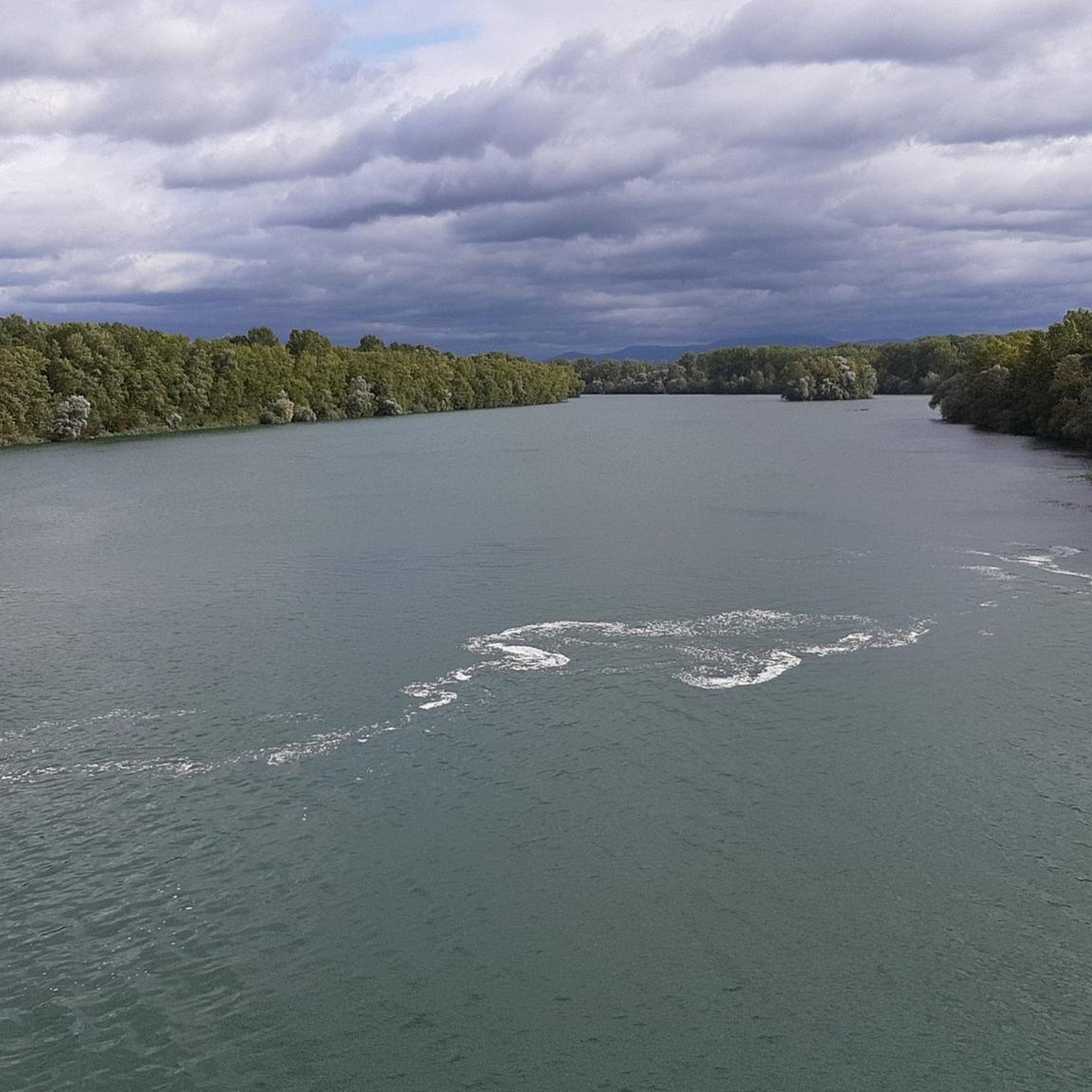
Rest area on the Rhine directly on the cycle path
0
0
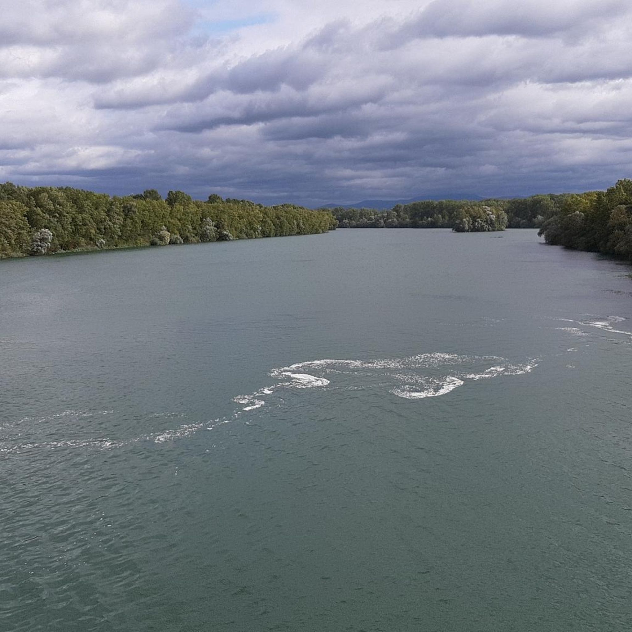
The Rhine, with a total length of around 1,233 kilometers, is one of the most important, busiest, and historically significant rivers in Europe. It connects the Alps with the North Sea and flows through six countries.
0
0
The Rhine, with a total length of around 1,233 kilometers, is one of the most important, busiest, and historic rivers in Europe. It connects the Alps with the North Sea and flows through six countries.
0
0


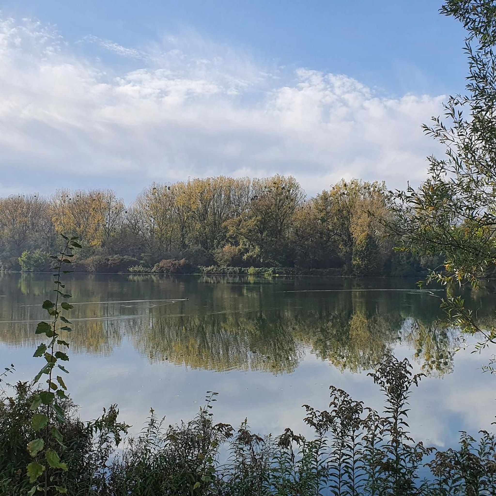
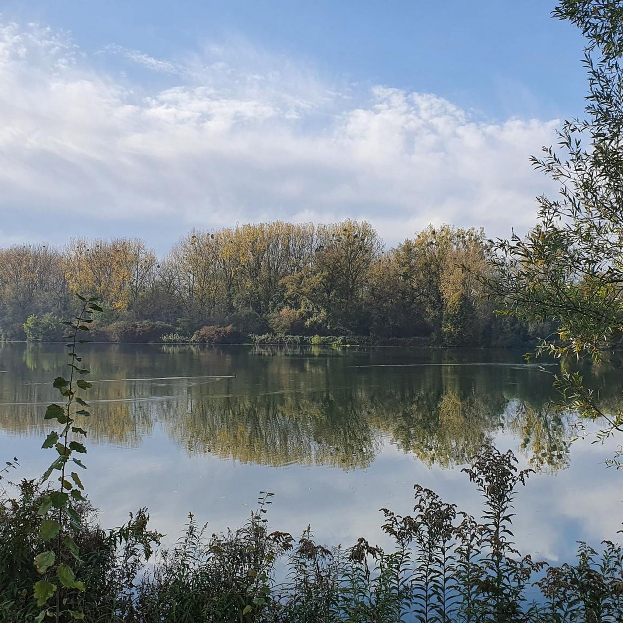
The Marlen Marina (also Marlen Boat Harbour) is operated by the Kehl-Goldscheuer e.V. (WCG) water sports club and is idyllically situated on an old Rhine arm in the Kehl district of Marlen. The natural, secluded facility on the Rheinweidweg offers sheltered berths for sailing and motorboats, as well as seating for hikers and cyclists. The adjacent Rhine section is managed by the local fishing club. As the harbour does not have extensive service infrastructure, skippers have to go to the Nautic-Club Kehl, located further north, for fuel stations or catering.
0
0
The Steinspore-Brugg is a small pedestrian and cycle bridge in Neuried-Altenheim, in the middle of the Rhine floodplains. It is located directly on the Auen-Wildnispfad near a small weir. At the bridge, there is a popular resting place with a table and bench, offering a beautiful view of the water.
1
0
The Steinspore-Brugg is a small pedestrian and cycle bridge in Neuried-Altenheim, in the middle of the Rhine floodplains. It is located directly on the Auen-Wildnispfad near a small weir. At the bridge, there is a popular resting place with a table and bench, offering a beautiful view of the water.
1
0
Frequently Asked Questions
How many touring cycling routes are available in Réserve Naturelle De L'Île Du Rohrschollen?
There are over 770 touring cycling routes available in Réserve Naturelle De L'Île Du Rohrschollen, catering to various skill levels. More than 500 of these are classified as easy, making the area very accessible for casual rides.
What is the terrain like for touring cyclists in the reserve?
The terrain in Réserve Naturelle De L'Île Du Rohrschollen is generally flat, characterized by lush alluvial forests, wetlands, and meadows. Routes often follow both the 'wild Rhine' and the canalized Rhine, offering varied scenery along dry dikes and gravel banks. You'll find modest ascents, making it ideal for touring cyclists seeking a relaxed ride.
Are there easy touring cycling routes suitable for beginners or families?
Yes, the reserve offers many easy touring cycling routes perfect for beginners and families. For instance, the Steinspore Bridge – Rheinauen Wilderness Trail loop from Pont Pierre Pflimlin is an easy 8.7 km path featuring a mix of bridge crossings and natural wilderness trails. Another great option is the Kinzig Bridge (Offenburg) loop from Goldscheuer, which is an easy 20.7 km route.
What kind of natural features or landmarks can I expect to see while cycling?
While cycling through Réserve Naturelle De L'Île Du Rohrschollen, you'll encounter diverse natural features such as alluvial forests, wetlands, and the dynamic landscapes of the Rhine River. Notable landmarks include the Rohrschollen Island Nature Reserve itself, the Rohrschollen Island Riverside Trail, and the Rheinau Dam. You might also spot the Cycle Path Along the Canal d'Alsace.
Are there any circular touring cycling routes in the area?
Yes, many touring cycling routes in Réserve Naturelle De L'Île Du Rohrschollen are circular. A popular choice is the Rheinpromenade Ortenaukreis – Rheinauen Wilderness Trail loop from Pont Pierre Pflimlin, an easy 20.6 km route offering views along the Rhine promenade and through wilderness areas. The 'Old Rhine Trail' (Sentier du Vieux Rhin) also circles almost the entire island, providing a diverse cycling experience.
What do other touring cyclists enjoy the most about cycling in Réserve Naturelle De L'Île Du Rohrschollen?
The area is highly rated by the komoot community, with an average score of 4.5 stars from over 5,300 reviews. Reviewers often praise the peaceful alluvial forests, the varied scenery along the Rhine, and the well-maintained paths that make for enjoyable and accessible touring cycling.
Is Réserve Naturelle De L'Île Du Rohrschollen suitable for wildlife spotting while cycling?
Absolutely. The reserve is a significant ornithological site and a crucial area for biodiversity. While cycling, you have excellent opportunities for birdwatching, especially for migratory species, with over 158 recorded bird species. You might also encounter amphibians and various fish in the wetlands and along the river.
How long does it typically take to cycle the routes in the reserve?
Cycling durations vary depending on the route and your pace. For example, the easy Steinspore Bridge – Rheinauen Wilderness Trail loop from Pont Pierre Pflimlin (8.7 km) can be completed in about 30 minutes. Longer routes like the Rheinpromenade Ortenaukreis – Rheinauen Wilderness Trail loop from Pont Pierre Pflimlin (20.6 km) typically take around 1 hour 20 minutes, while the more challenging Pierre Pflimlin Bridge – Altenheim Marina loop from Pont Pierre Pflimlin (27.9 km) might take around 1 hour 40 minutes.
Are there any routes that cross into Germany from the reserve?
Yes, for more adventurous cyclists, it's possible to cross the Rhine via the diversion dam at the southern tip of the island. This allows you to explore the German side and potentially return to Strasbourg via the Jardin des Deux Rives, offering an international cycling experience.
What is the best time of year to go touring cycling in Réserve Naturelle De L'Île Du Rohrschollen?
The reserve is enjoyable for cycling throughout much of the year. Spring and autumn offer pleasant temperatures and beautiful scenery, with migratory birds often present. Summer is also suitable, though it can be warmer. Winter cycling is possible, but check local conditions as some paths might be affected by weather.
Can I reach the Réserve Naturelle De L'Île Du Rohrschollen by public transport?
The Réserve Naturelle De L'Île Du Rohrschollen is located just 10 km southeast of Strasbourg's historic city center, making it relatively accessible. While specific public transport links directly into the reserve for cyclists might be limited, you can often reach the vicinity of the reserve or starting points of routes from Strasbourg using local transport options. It's advisable to check local bus or tram schedules for connections to the nearest access points.
Are there any longer, more challenging touring cycling routes in the reserve?
While many routes are easy, there are options for those seeking a longer ride. The Großer Deich on the Kinzig River – View of Ortenberg Castle loop from Réserve naturelle de l'île du Rohrschollen is a moderate 46 km route that offers a more extensive exploration of the surrounding area. Additionally, the Pierre Pflimlin Bridge – Altenheim Marina loop from Pont Pierre Pflimlin is classified as difficult, covering 27.9 km through riverine landscapes.
Most popular routes in Réserve Naturelle De L'Île Du Rohrschollen
Most popular attractions in Réserve Naturelle De L'Île Du Rohrschollen

Get inspired with the komoot mobile app


Explore more
Browse the best Cycling routes in other regions.
